In the countryside along route 13 of Rota Vicentina, SW Portugal

This is one of the many routes of the Rota Vicentina network in southwest Portugal, and passes through the villages of Santa Clara-a-Velha, Sabóia and Totenique. The area is characterized by a rural landscape, where small farms can be found dispersed in the hills. Details can be found in the following link:

https://rotavicentina.com/en/trilhos/discovering-totenique/

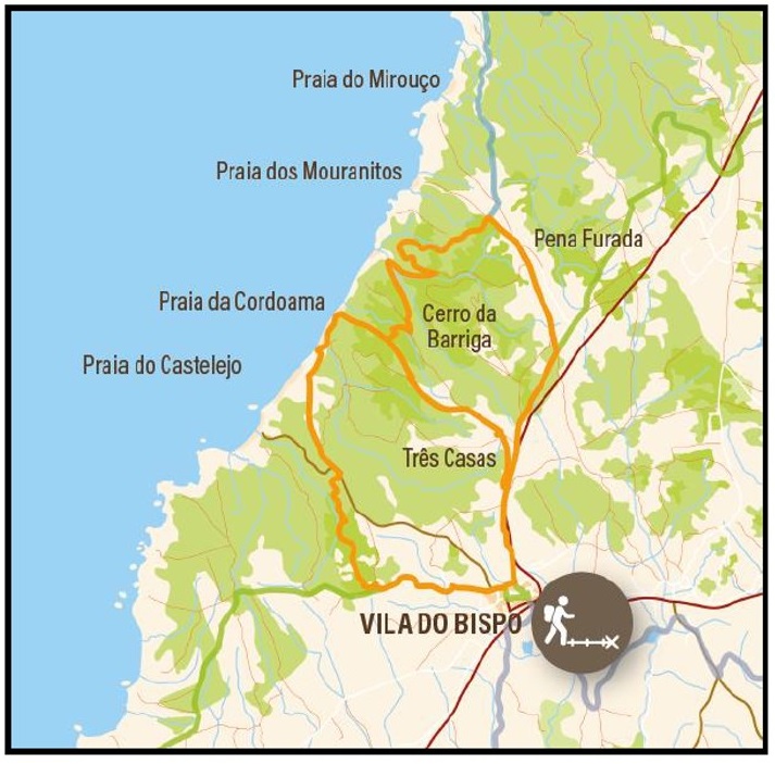
A general map is shown below as a quick reference for this 13.5 km walk.

Trail number 13 of the Rota Vicentina, shown on the western side of the map.

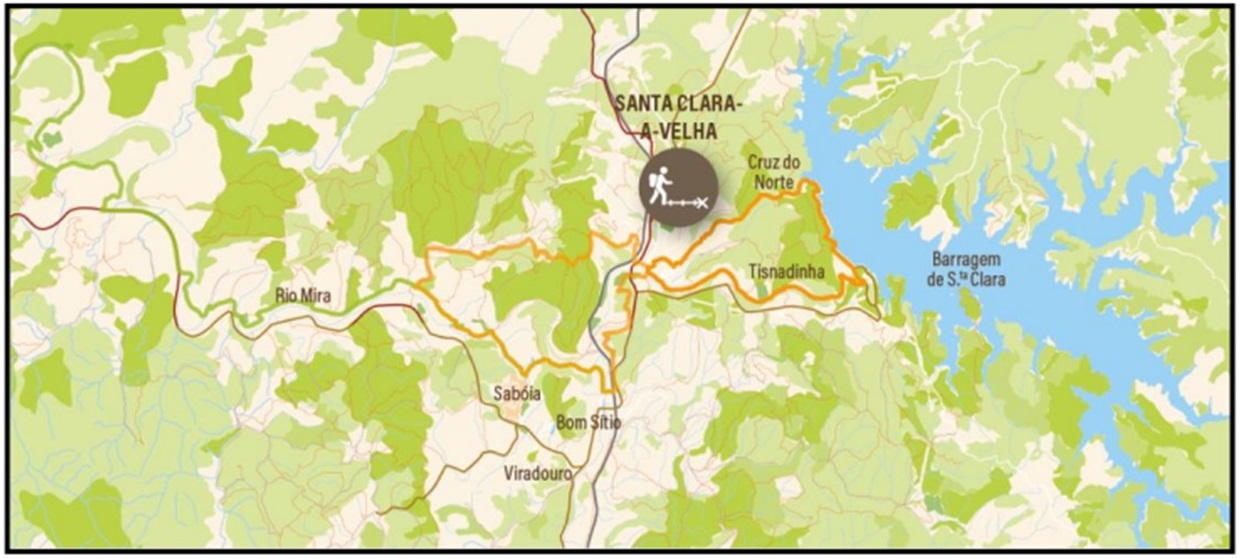
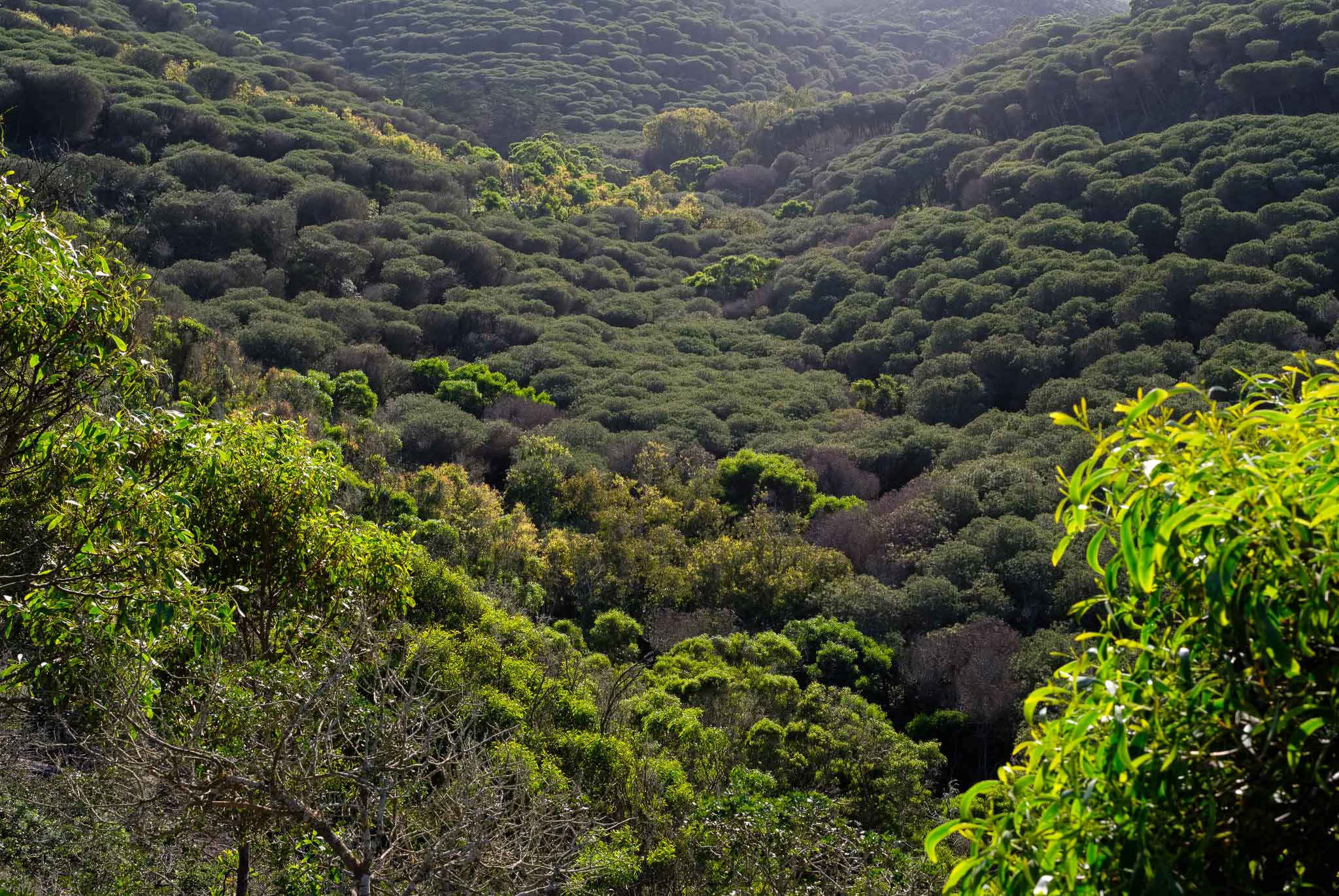
The trail starts in Santa Clara-a-Velha, a small village near the river Mira, following the river valley along the first half of it. You can park your car near the tourism office and perhaps get some supplies from the local café. From here, the path crosses the river in a pleasant wooded area. There has been a drought in the last couple of years, so this part of the river is normally dry, but due to recent rainfalls, the water is running again.

Rural fields in winter, before Santa Clara-a-Velha.
Old farm house and fields.
River Mira in Santa Clara-a-Velha.
Reflection.

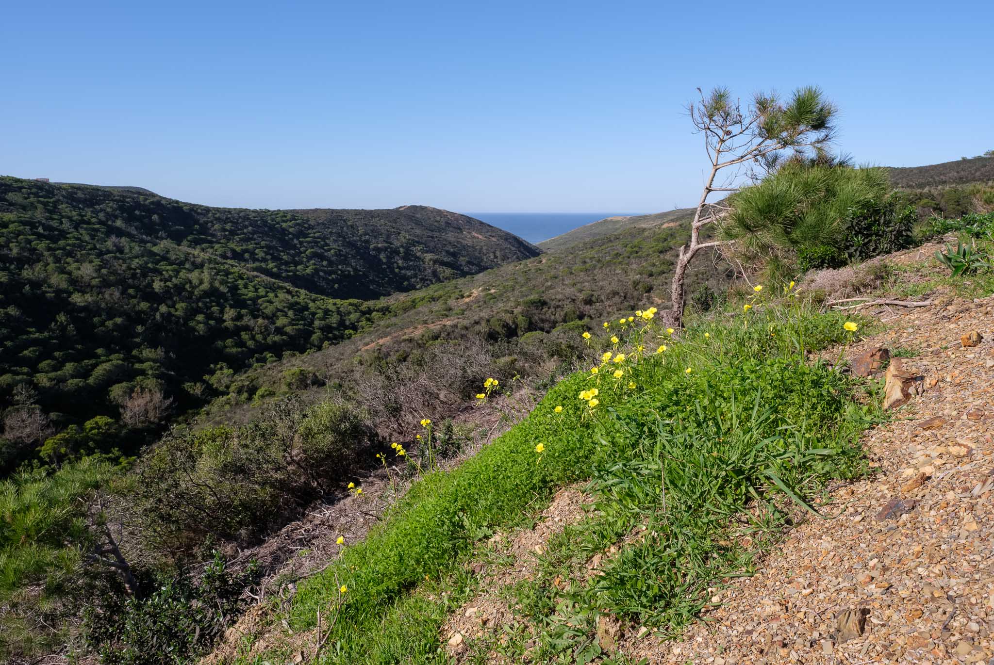
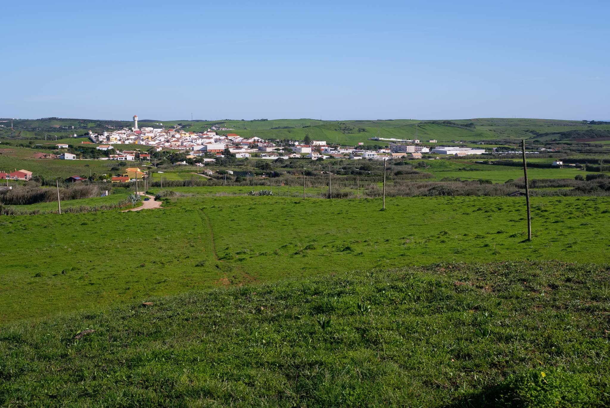
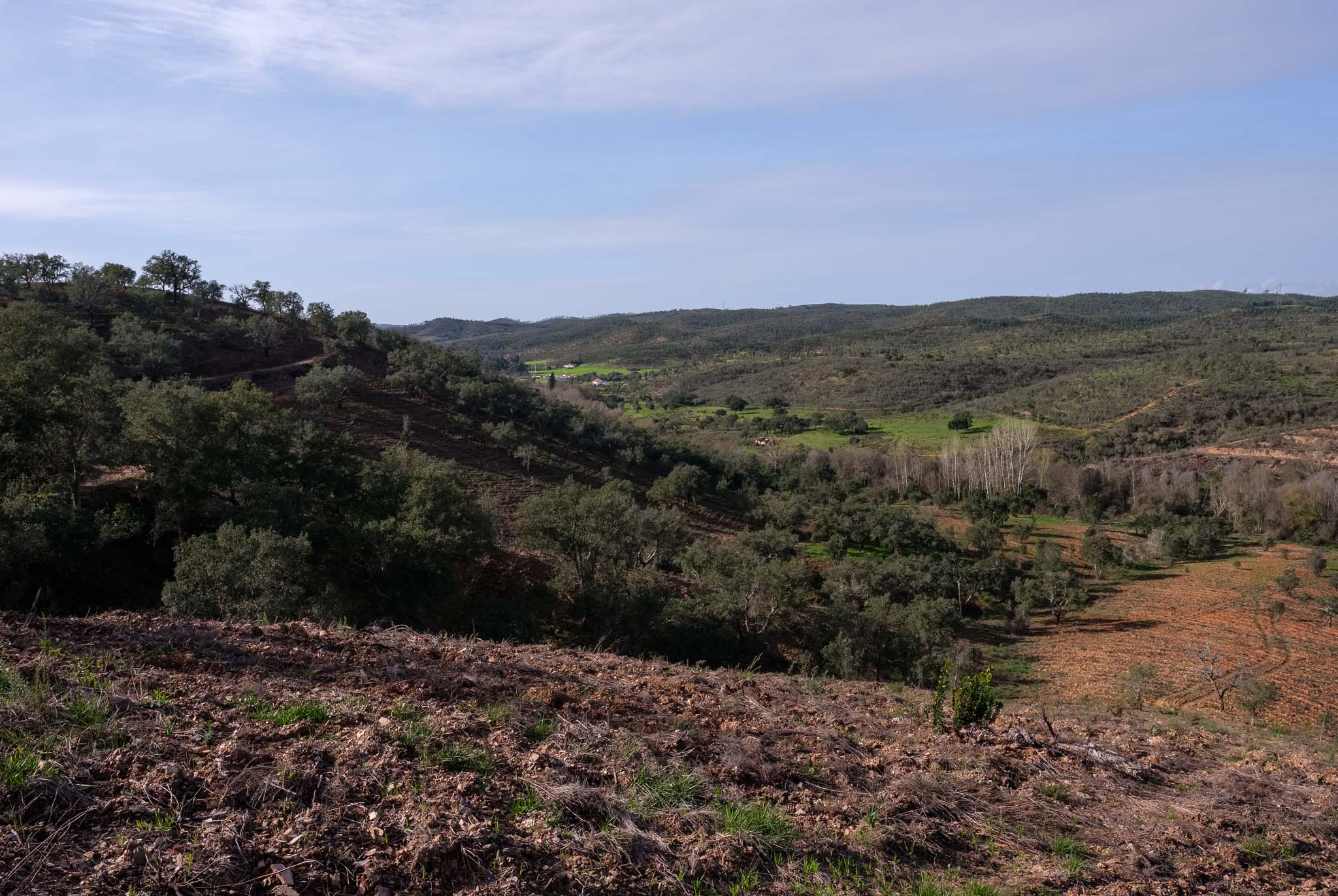
The first few kilometres of the trail are easy to walk, crossing hilly terrain before arriving at the Santa Clara and Sabóia train station. From the top of a hill, the scenery is nice, with a succession of green valleys and mountains.

View over the Santa Clara and Sabóia train station.
Train station.

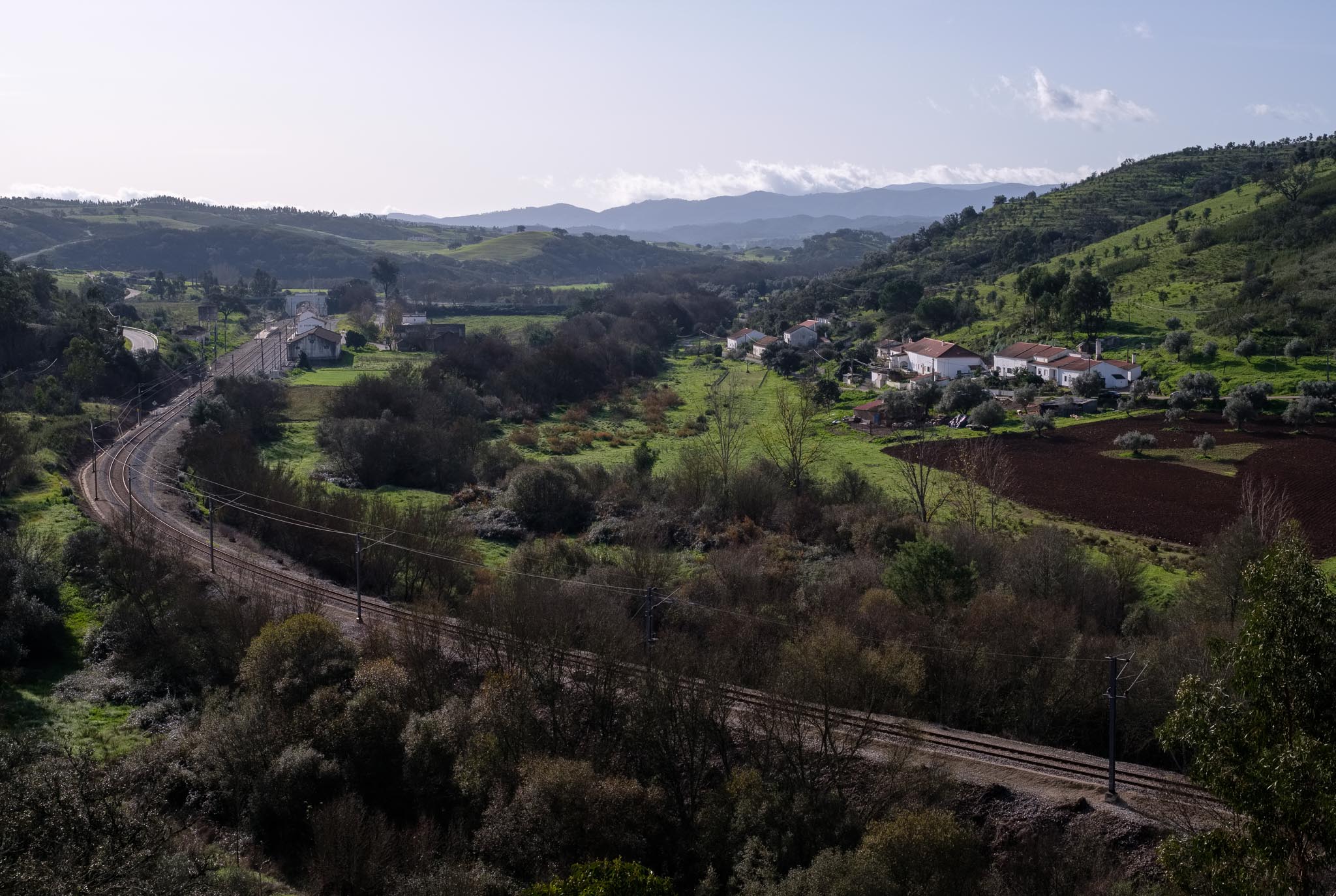
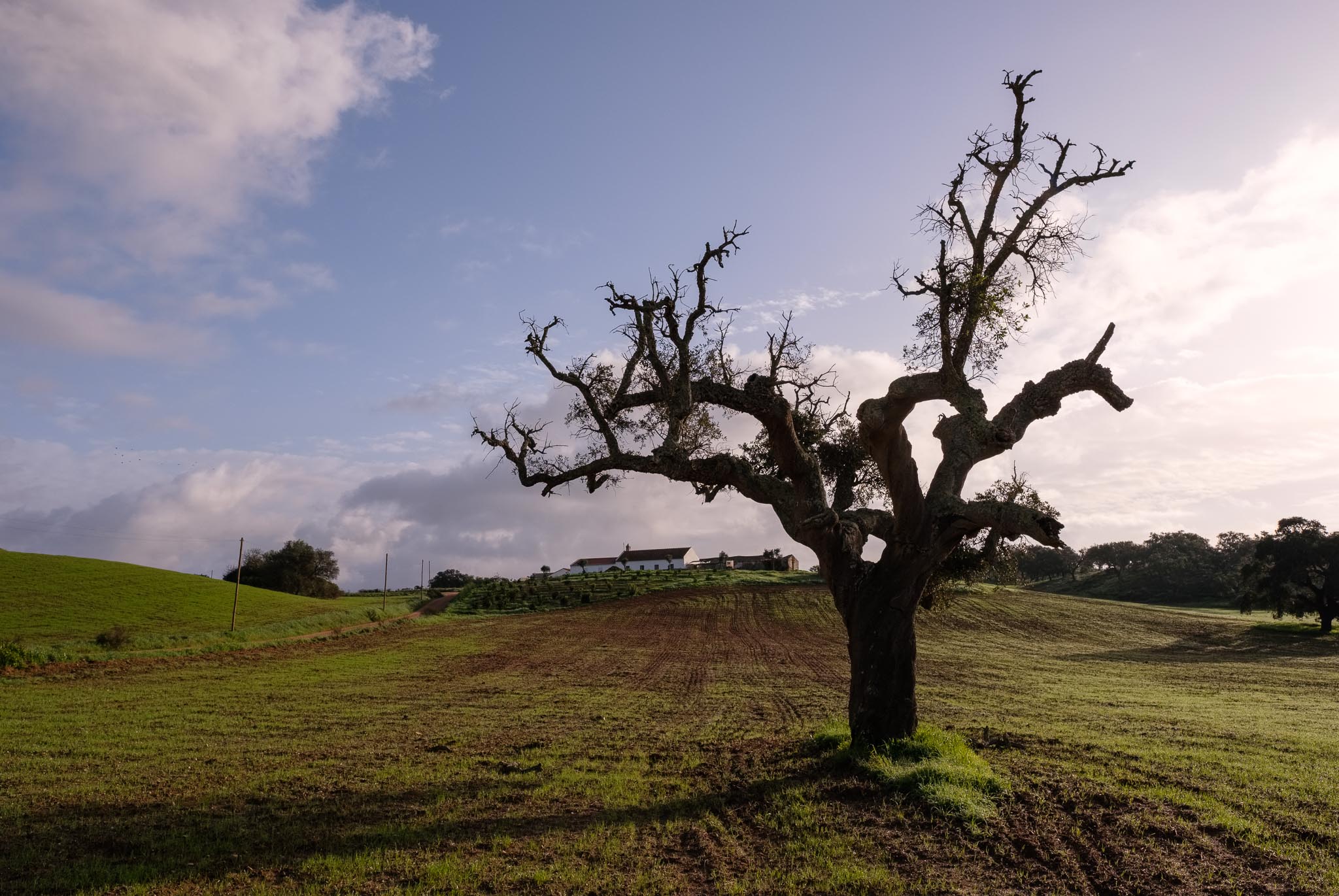
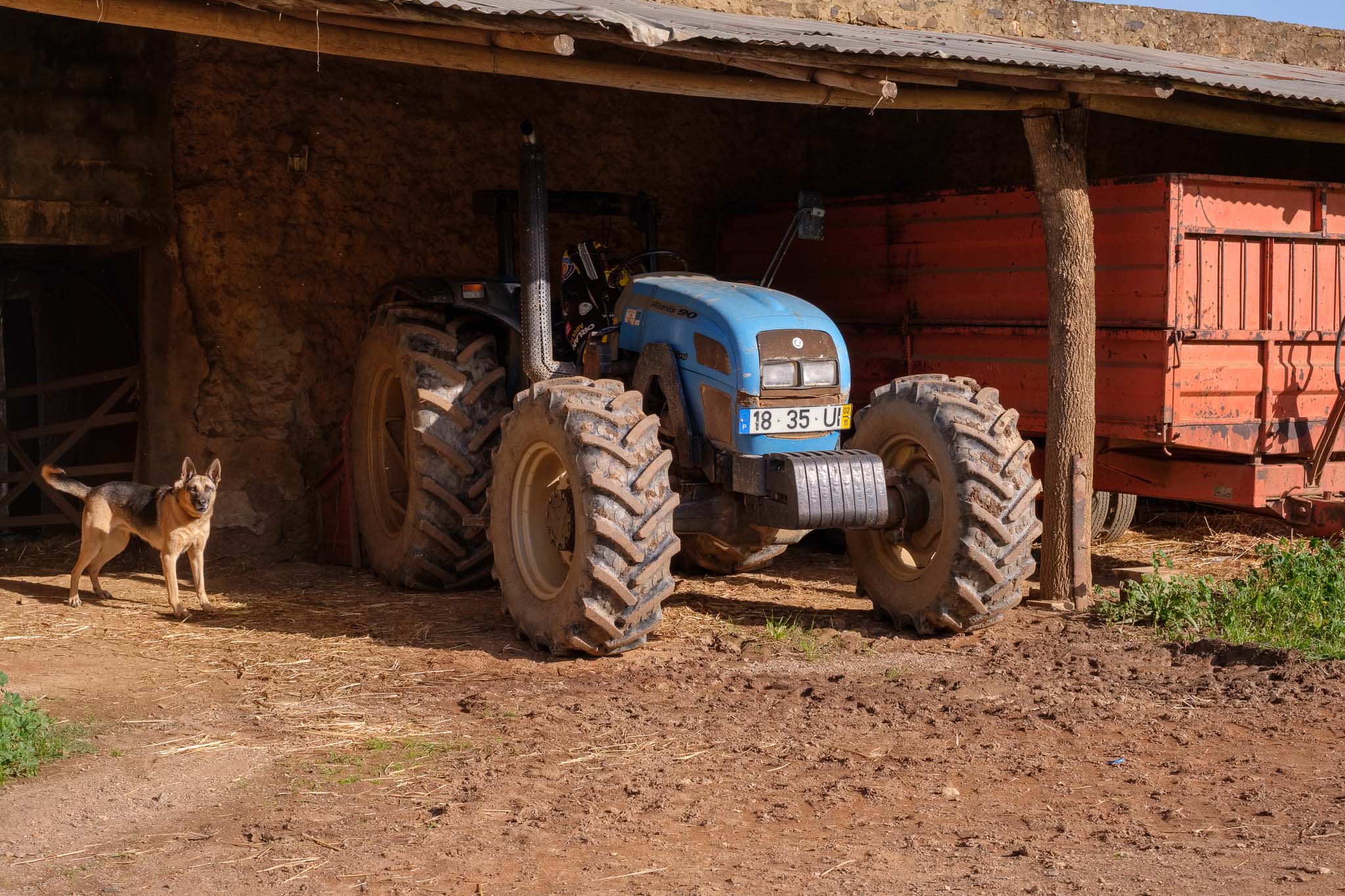
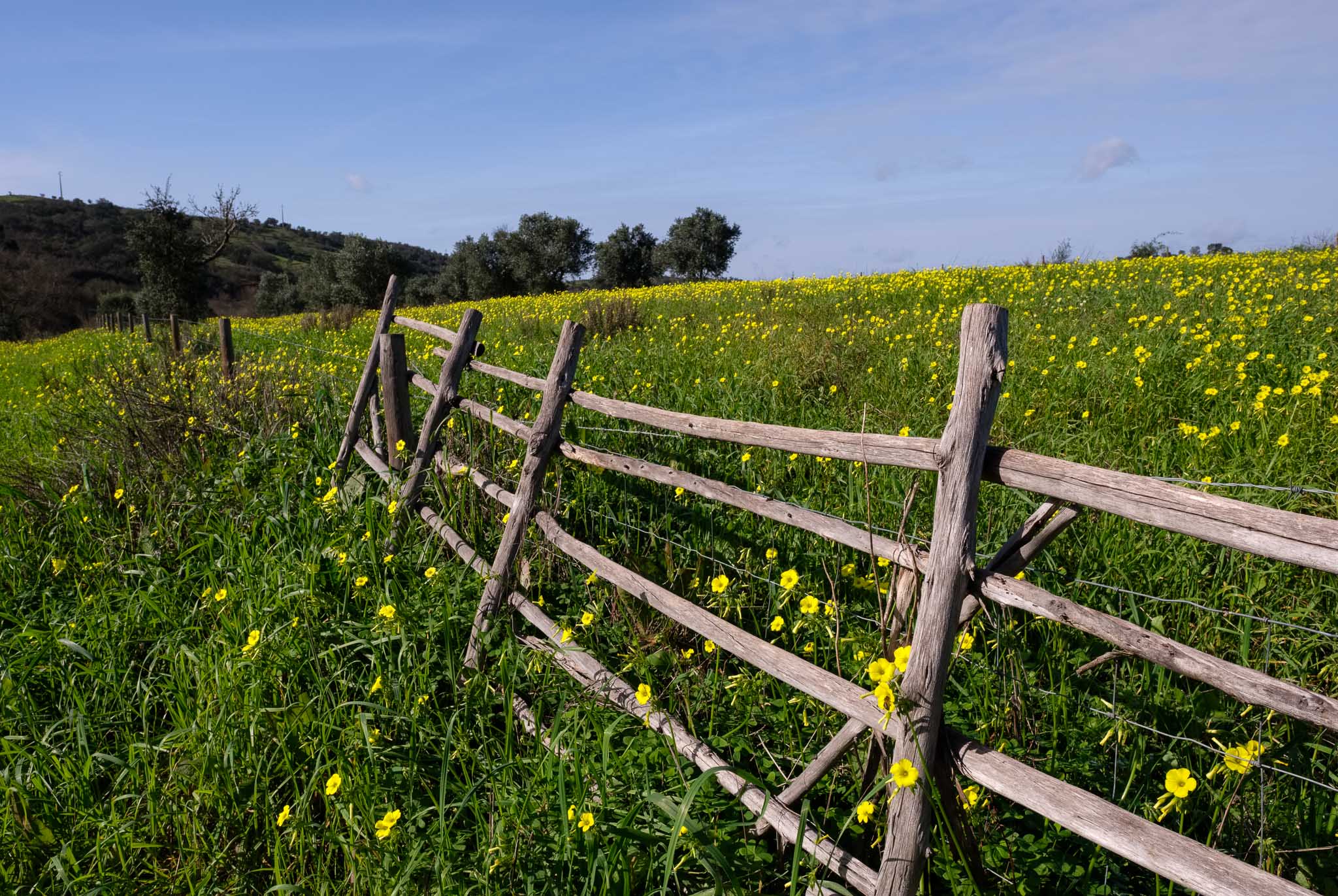
After so many months of drought, the rainfalls in December have changed the landscape completely. The ground is covered with green grass, and there are many patches of flowers. Looks like spring has arrived during the winter, a feeling that is reinforced by the balmy temperatures. Leaving the train station behind, the trail then crosses several farms located in a valley, and I stop here and there to make some photos.

Rural landscape.
Water for cattle.
Along the trail.
Local farm.

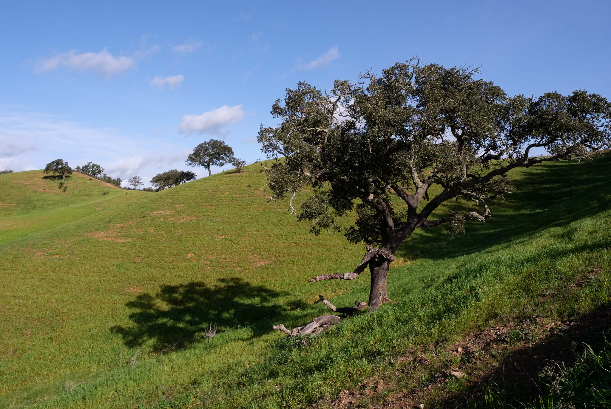
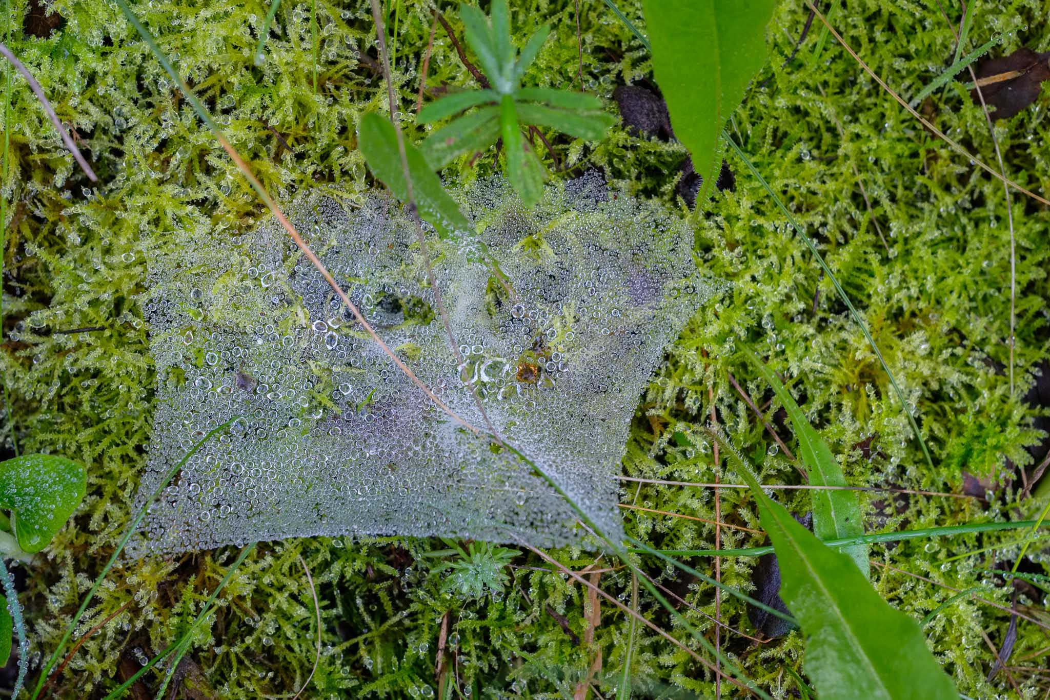
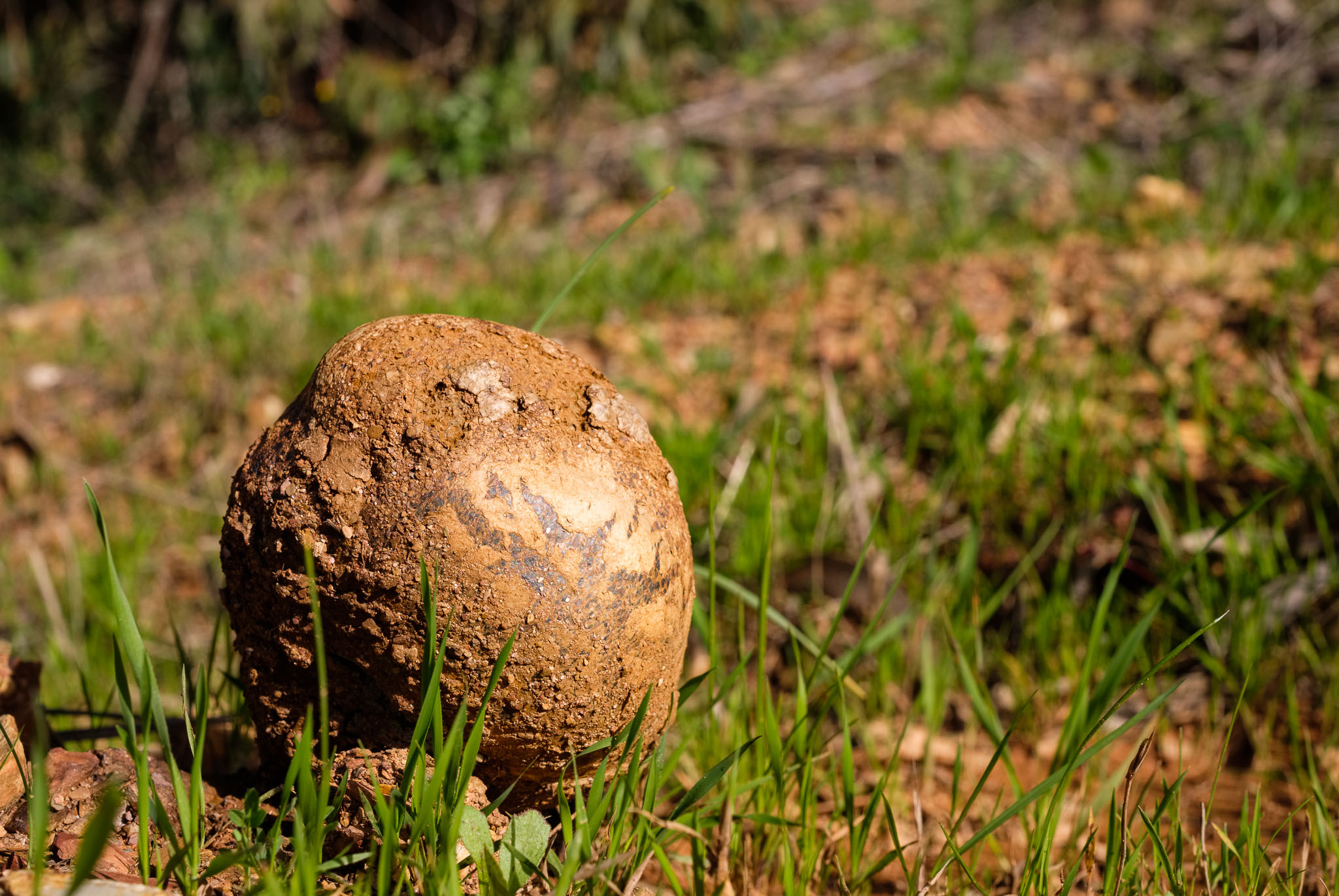
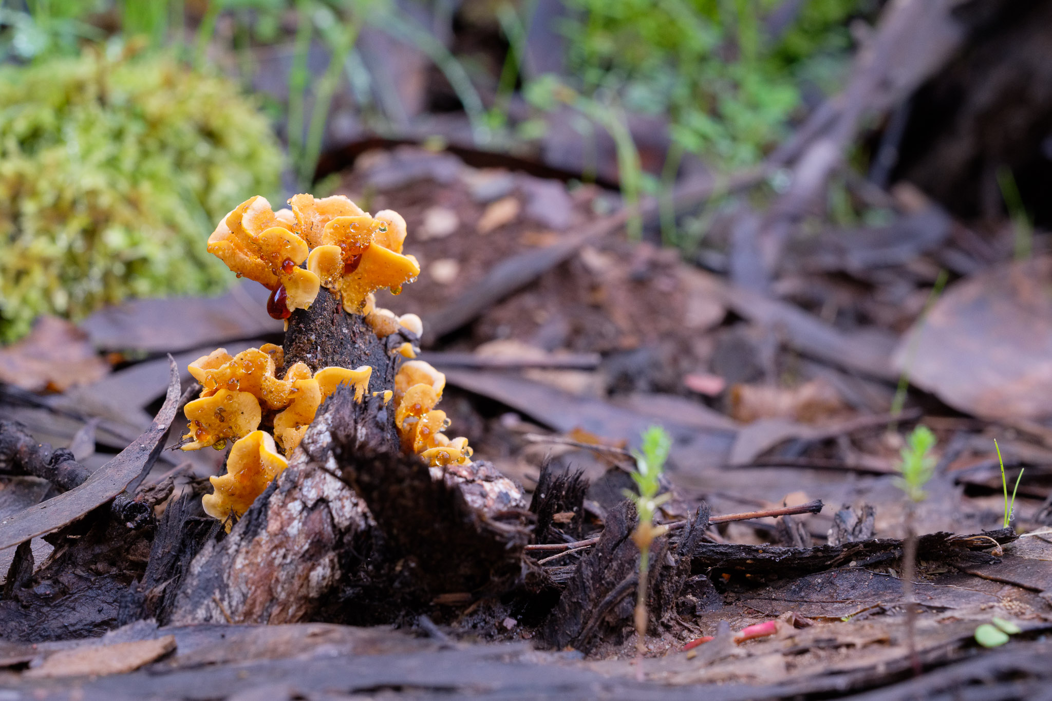
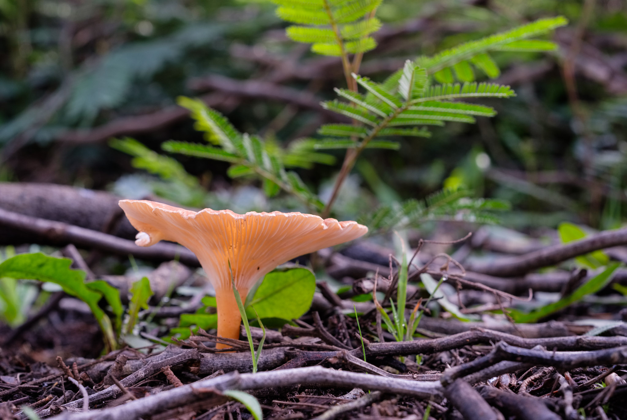
Even though it is mid morning, the winter sun is low in the sky, and as I climb the shaded side of a hill, I notice many spider webs in the ground. These are covered with water droplets from the night’s moisture and morning dew. Mushrooms are also conspicuous, and come in different varieties.

Dew in spider web.
Mushroom.
Mushroom.
Mushroom.

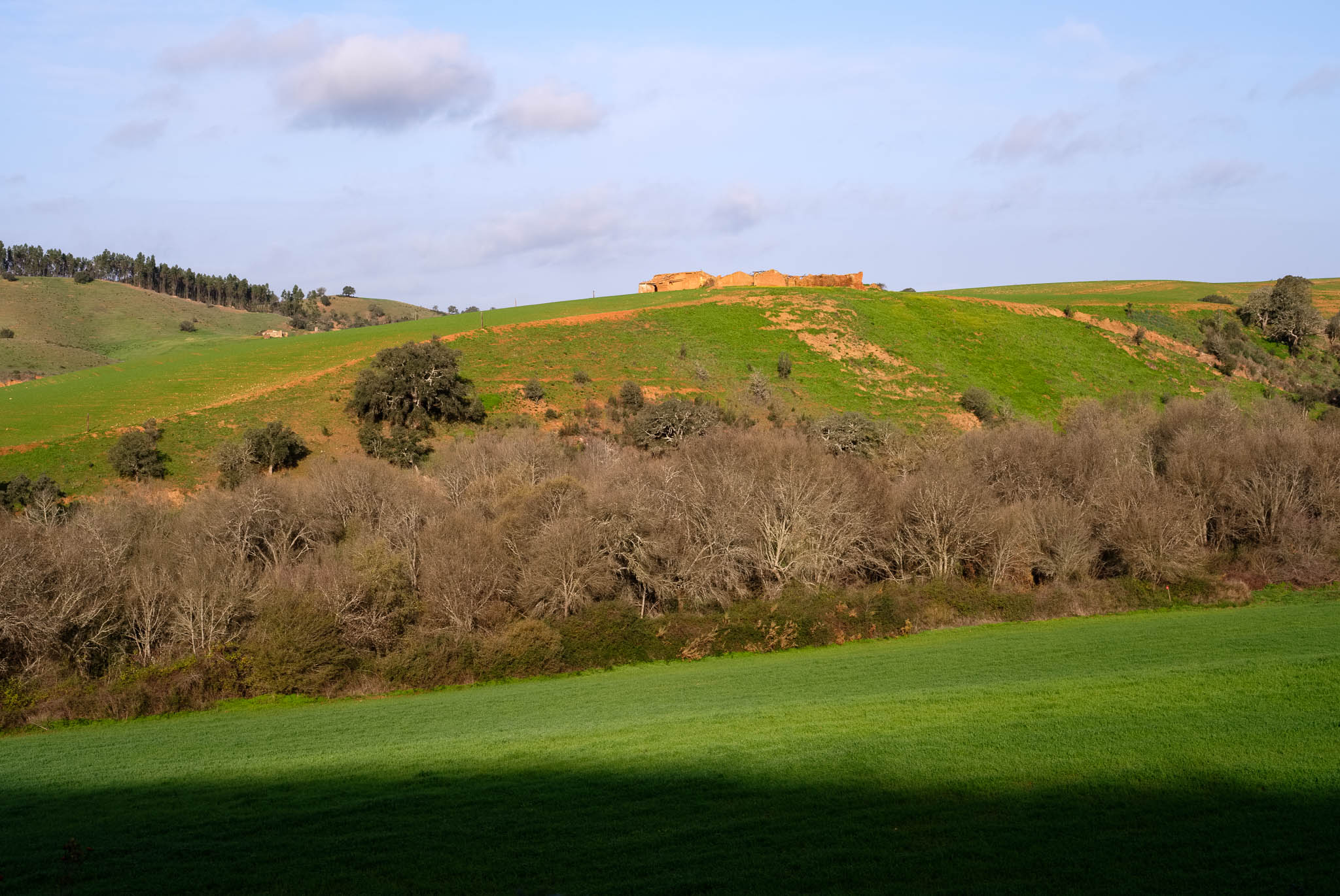
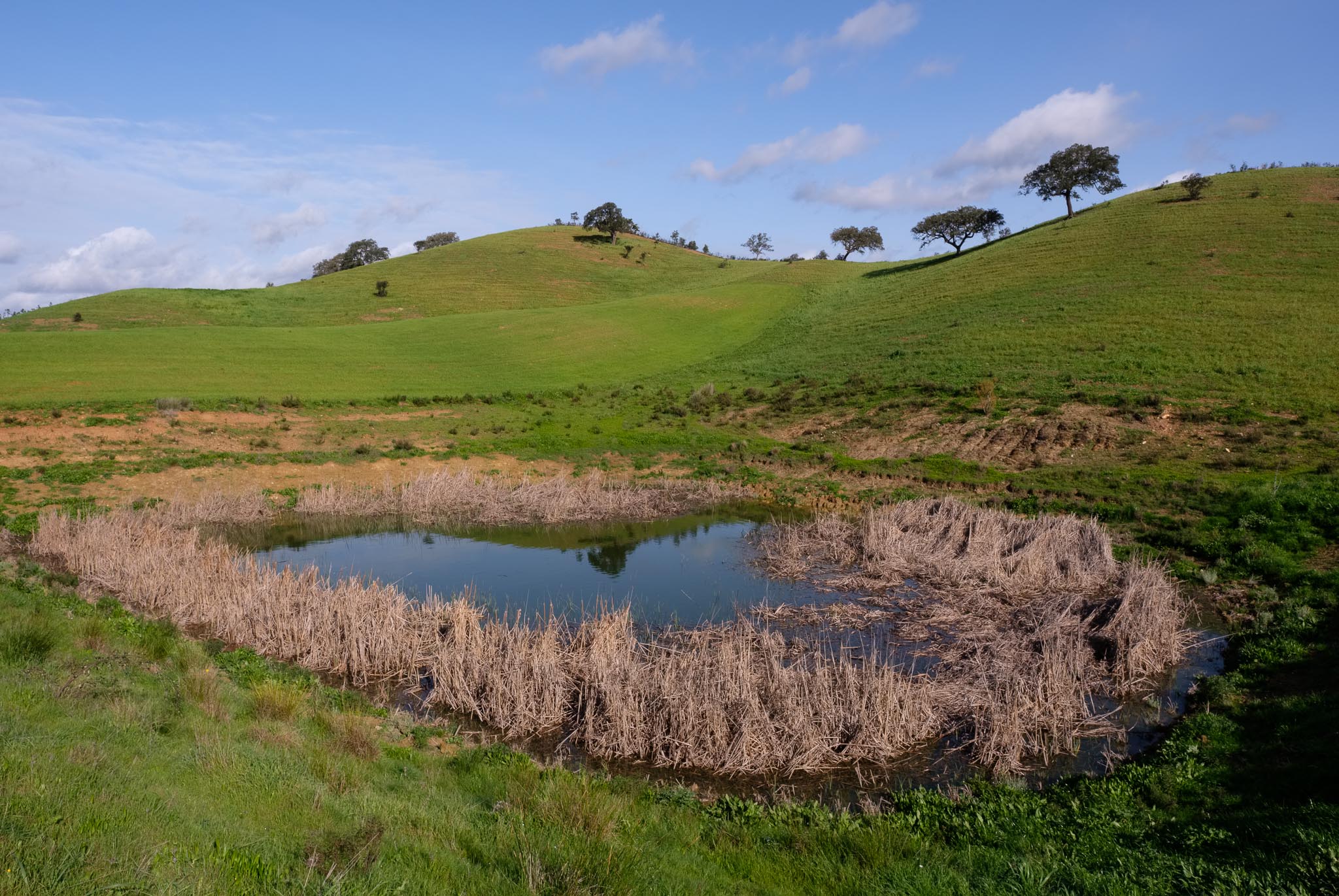
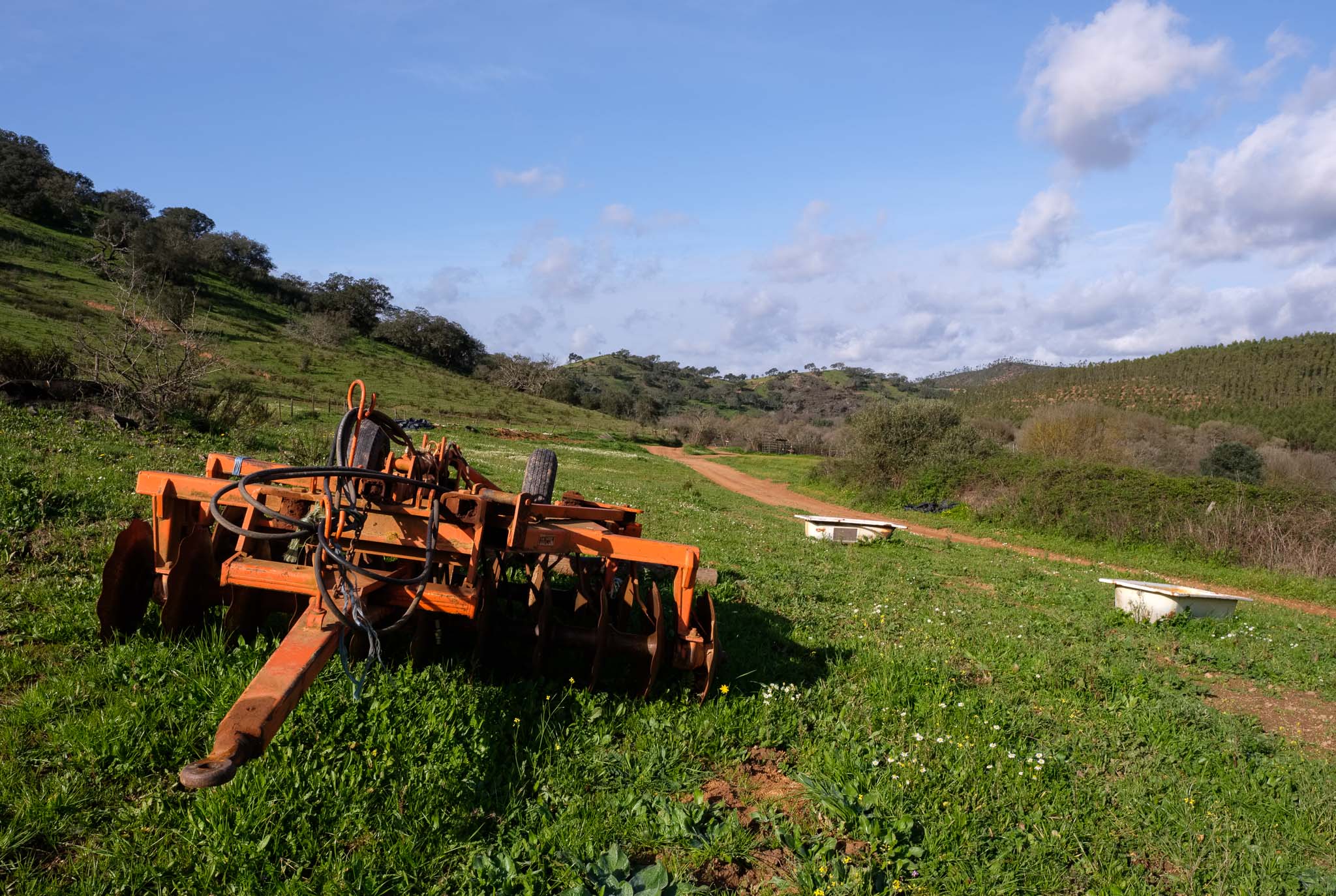
It is almost time for a picnic lunch, so I take a well deserved rest near the small group of houses that are known as Totenique. Most of them are abandoned, but the fields are still cultivated and there is some cattle grazing nearby. The name comes from the nearby creek, one of the river Mira subsidiaries. As I cross a small bridge, I notice the pattern of the sunlight’s reflection on the surface of the water, almost like dancing ripples.

After the rain.
Water and ripples.

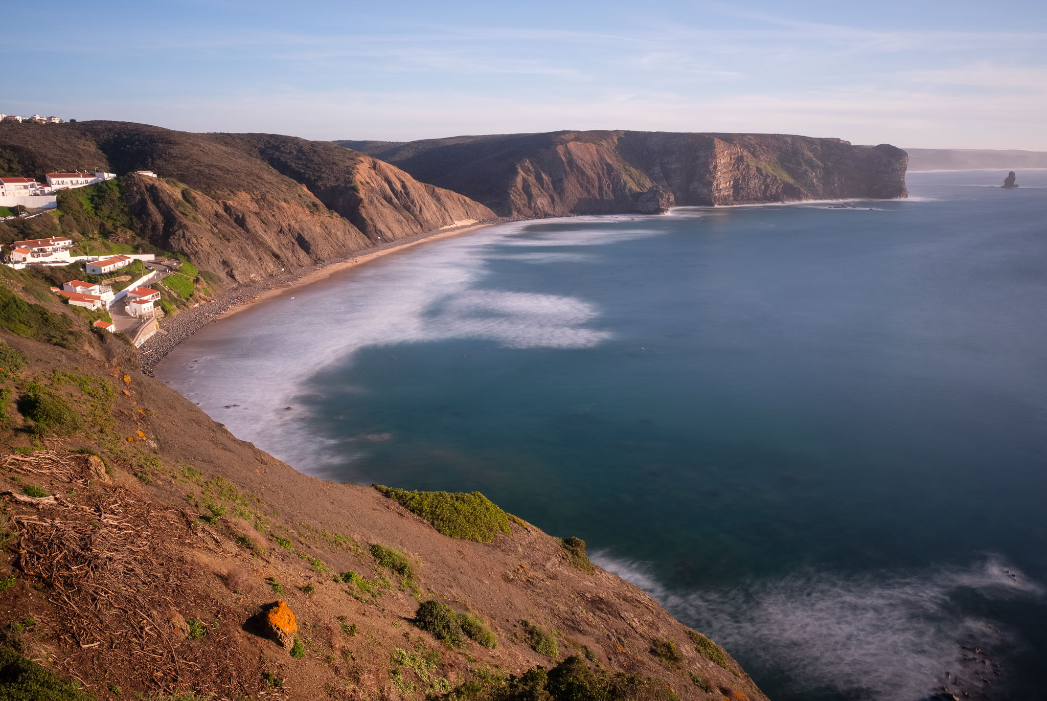
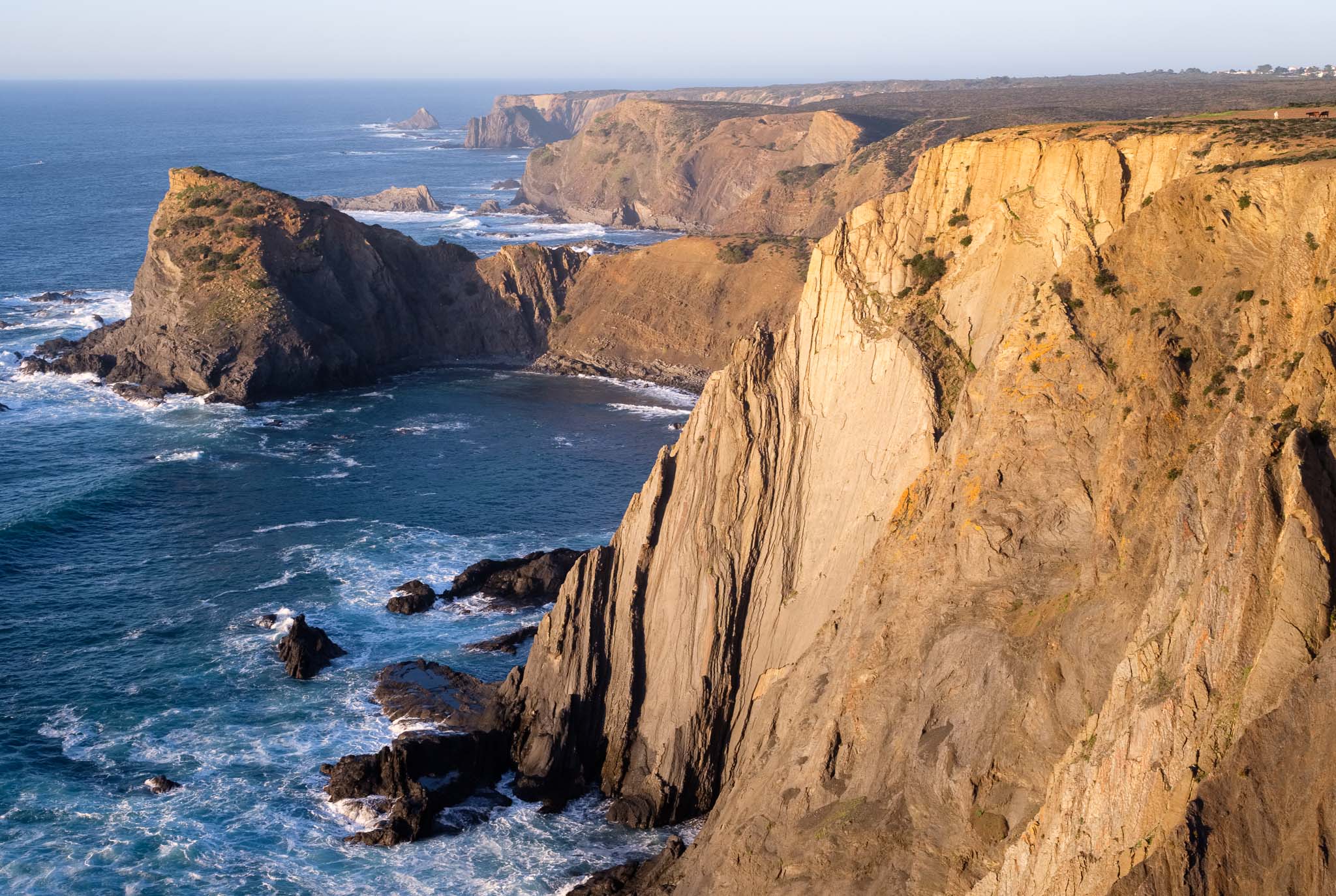
The last part of the trail traverses the Totenique valley, before a steep climb reaches the top of the mountain. From here there is a nice view over the valley to the west, and it is an appropriate time to take a breather.

View over the Totenique valley.

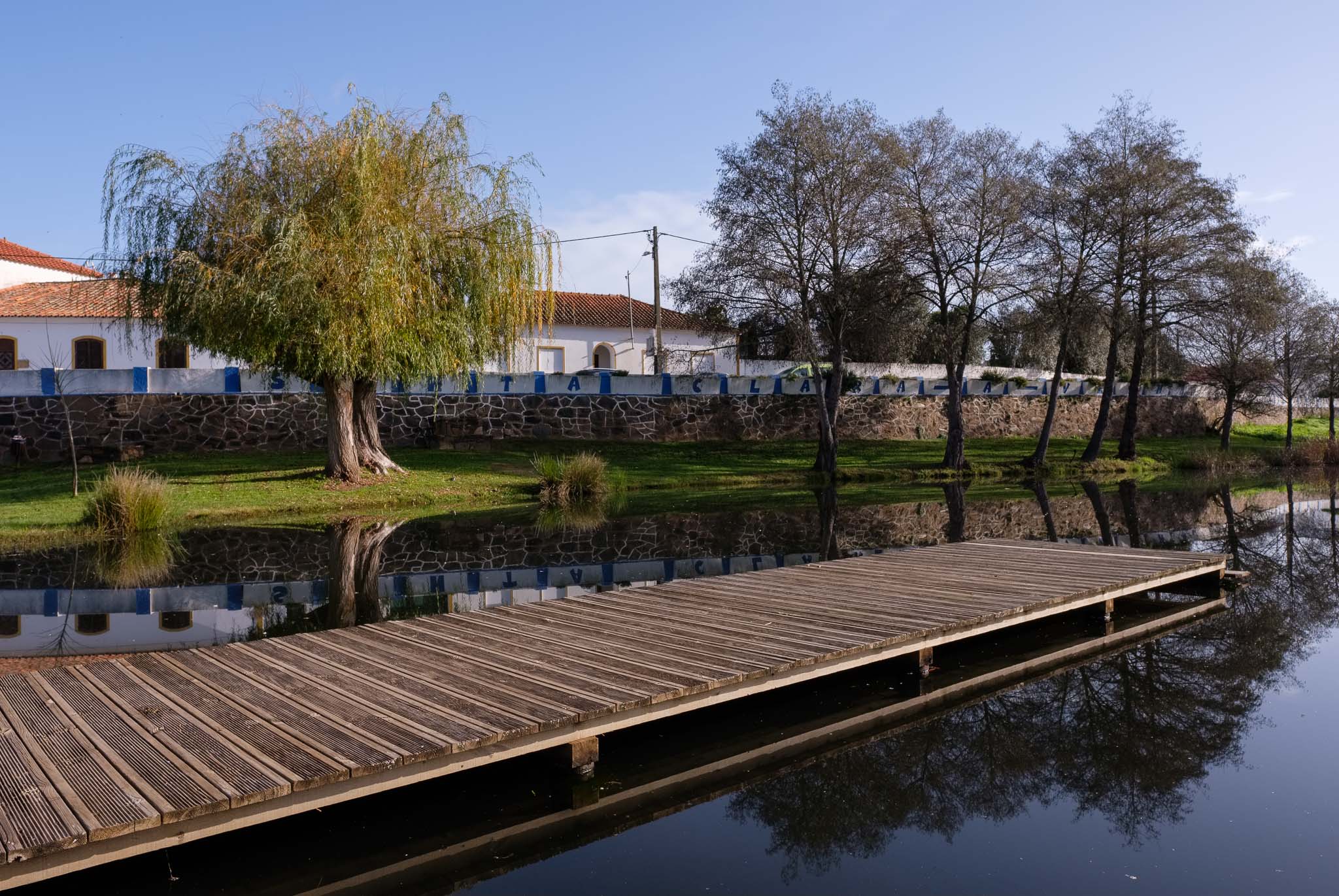
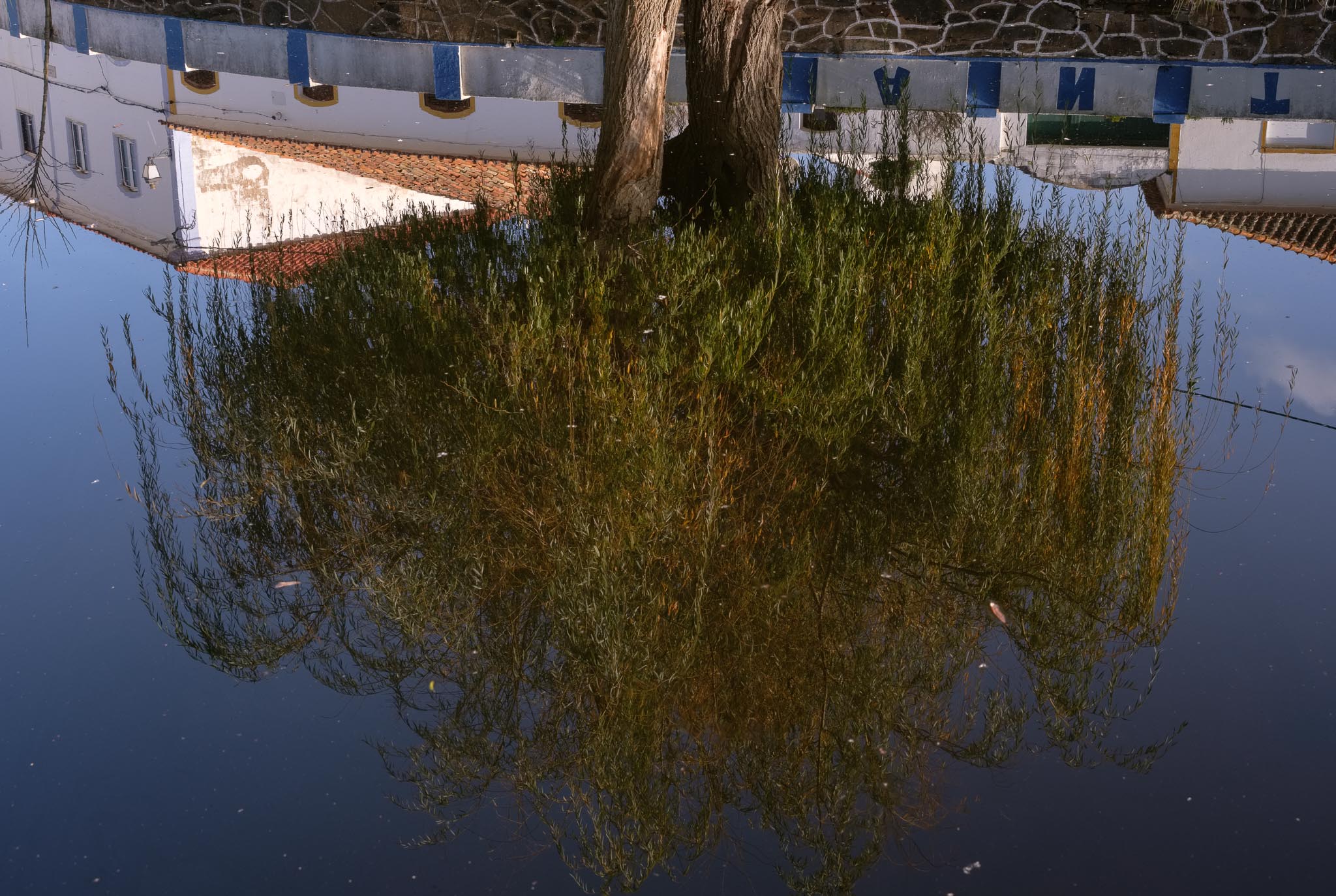
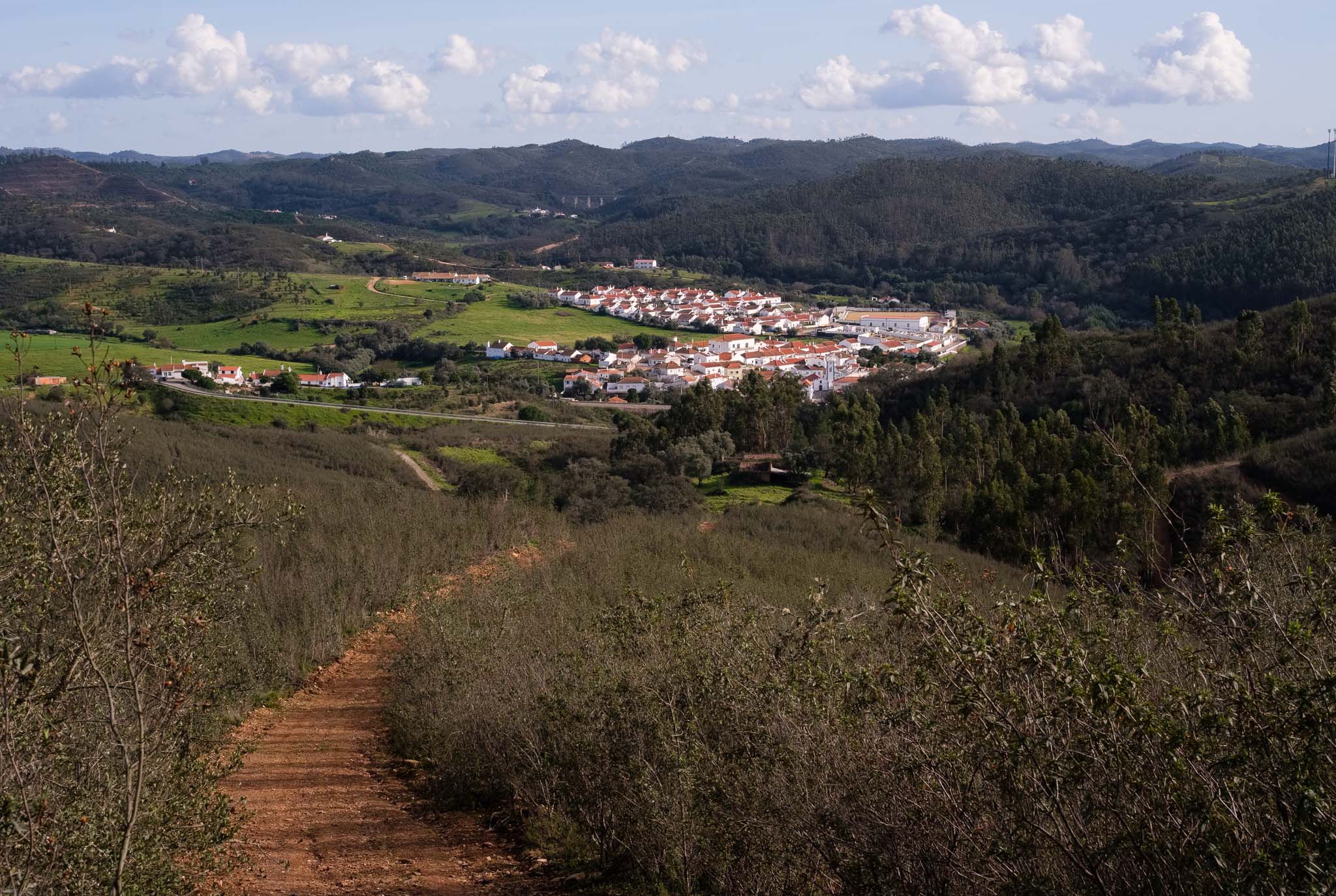
It is also worth admiring the view towards Santa Clara-a-Velha in the east, before descending into the village, where this circular trail ends.

View over Santa Clara-a-Velha.

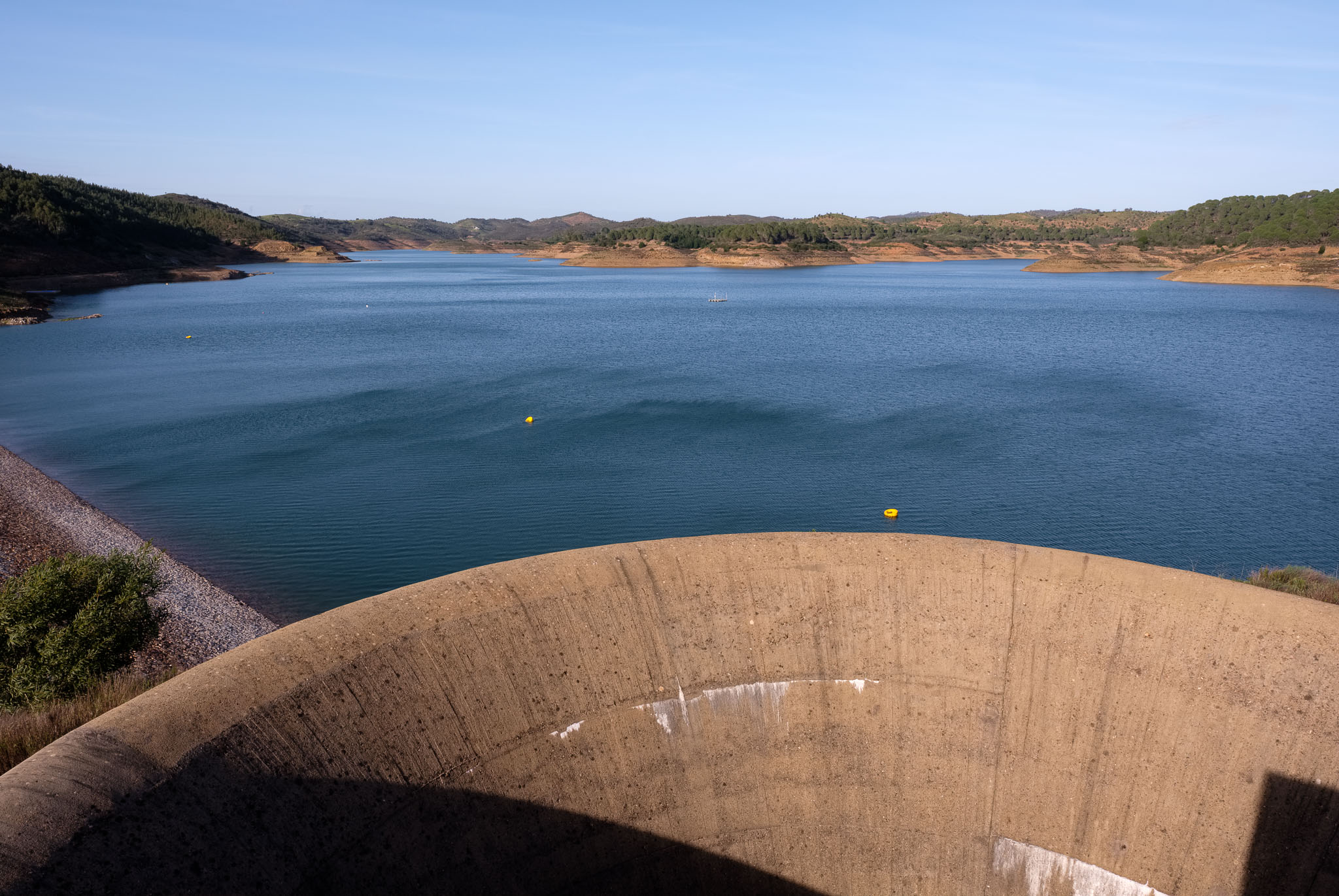
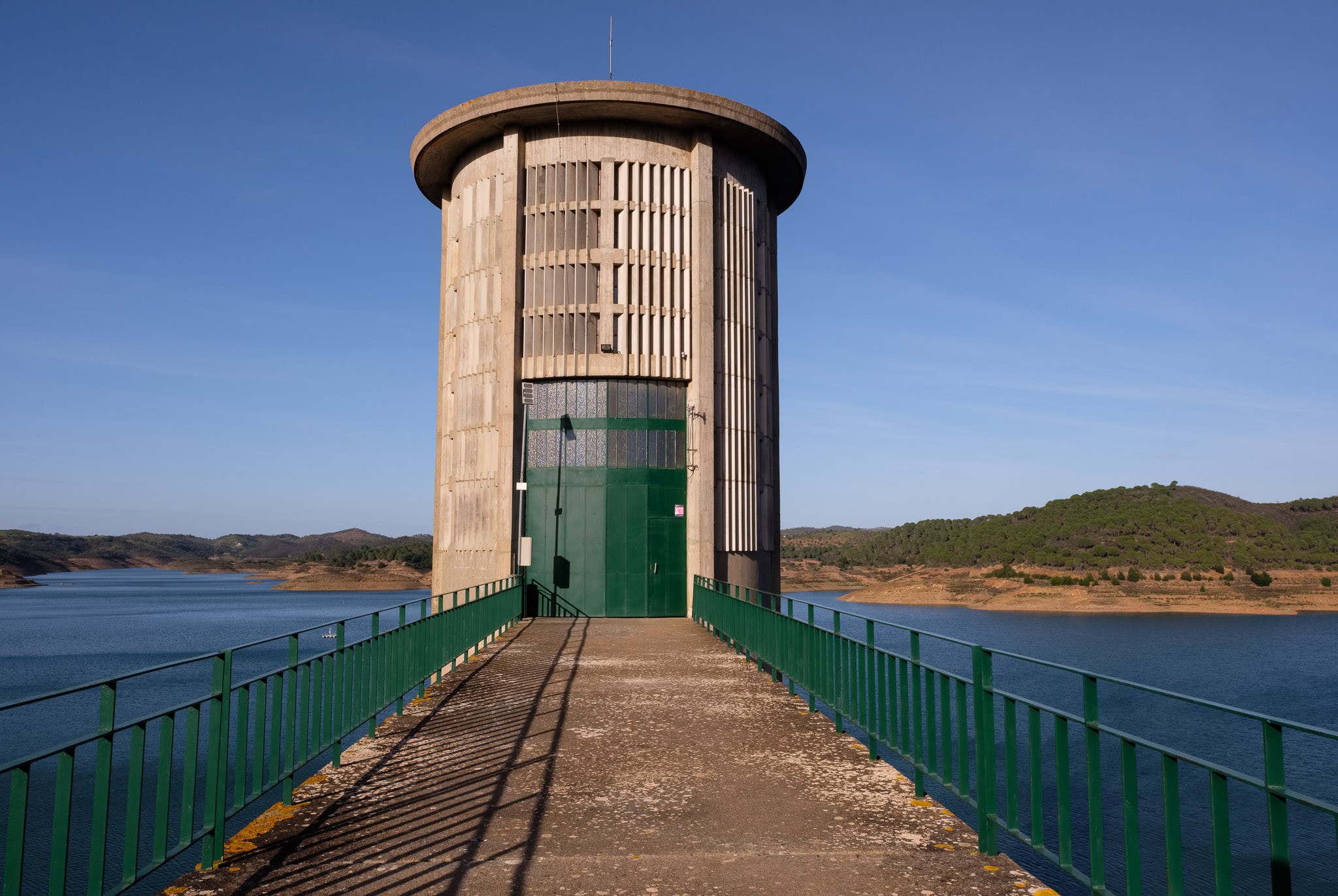
When I visit this place, I like to go to the Santa Clara-a-Velha dam, where the water from the river Mira is captured, forming one of the largest lakes in Portugal. With the approach of sunset, the temperature dropped a bit, and a stiff wind started to blow, creating ripples on the surface of the water. I was glad to see that, compared to summertime, the level of the water seems to have risen about 5 or 6 metres, which is great news.

Santa Clara-a-Velha lake and dam.

Another local attraction worth visiting is the Dona Ana bridge, a medieval structure close to Santa Clara-a-Velha. This is an old stone bridge over the river Mira, but unfortunately only half of the span remains. Depending on the season and amount of water in the river, it may be more or less difficult to walk down to the bank. This time I was lucky, as the river had plenty of water.

Medieval bridge in the river Mira near Santa Clara-a-Velha.

As always, in terms of my photography, I like to keep things simple. For this walk I carried only my wide angle (Fujinon 16mm f/1.4) and standard (Fujinon 33mm f/1.4) lenses in my backpack. This was another happy day in one of the trails of the Rota Vicentina.

From Vila do Bispo to Cordoama beach, SW Portugal

I found myself spending a few days after Christmas in the southwest coast of Portugal. After a couple of weeks of heavy rain, the weather became sunnier, so it was perfect for walking in the many local trails of the Rota Vicentina. One of my favourite routes is number 24, a circular path that starts in the town of Vila do Bispo and heads to the coast. I have done this trail a few times before, but I like it so much that I don’t mind repeating it. In fact, this route takes you into direct contact with the essence of this land: a high coastal plateau characterized by hills and deeply cut ravines, leading to some of the best wild beaches in Europe.

The following map shows the trail, which is around 16 km long.

Map of route 24 of Rota Vicentina.

The morning is sunny, and even though it is winter, the temperature is forecasted to reach 23 Celsius, which feels more like springtime. After the rain the land is covered with green grass and yellow flowers; it does look like spring. The trail is easy to follow, and after a couple of hours, it starts to approach one of its highlights, the descent towards Barriga beach. It is impossible not to stop to admire the view, with the hills transitioning abruptly to the azure of the ocean.

Arriving at Barriga beach.

Take some time to stroll in the beach and enjoy the surroundings. The dark schist cliffs are still covered by the morning mist. When the tide is low, it is possible to walk for several kilometres along the sand.

Low tide at Barriga beach.

Leaving Barriga beach, the trail climbs up the steep hills, until it reaches the second highlight of the day, the viewpoint over Cordoama beach. From here it is possible to admire a good part of the Vicentina coast, starting at Arrifana in the north, and extending into Castelejo and beyond, to the south.

Looking south over Cordoama beach.
Looking north.
Surfing is very popular in Cordoama.

These beaches are a fantastic place to spend the rest of the day, but after a picnic lunch, it is time to return to the trail. It is a steep ascent from the beach to the top of the hill, but the view from is well worth the effort. From here, the rest of the walk is easy, crossing a quiet woodland in a secluded valley, before arriving at Vila do Bispo.

Along the trail in the coastal hills, after leaving Cordoama.
Quiet woodland, where pine trees dominate.
Green fields near Vila do Bispo.

On the way from Vila do Bispo to my house, I stopped at another one of my favourite beaches, Arrifana. I wanted to make some photos at sunset, so I parked the car, and went looking around, trying to find a good viewpoint. There are several places from where to make good photos looking down onto the beach, but I chose one that is not so obvious, near the edge of the cliff. Even though I have been here so many times, I always feel elated every time I return. The tall dark cliffs, with their folded rock layers, are constantly buffeted by the waves.

Long exposure in Arrifana, under golden light.
Coastal cliffs north of Arrifana.

This coastal region is a treasure trove for Nature lovers, and is beautiful all year round. Walking the many available trails is the perfect way to experience it. A final mention about the photo gear I had in my backpack, which included a wide angle lens (Fujinon 16mm f/1.4) and a standard lens (Fujinon 33mm f/1.4).