Route 18 of Rota Vicentina, in SW Portugal

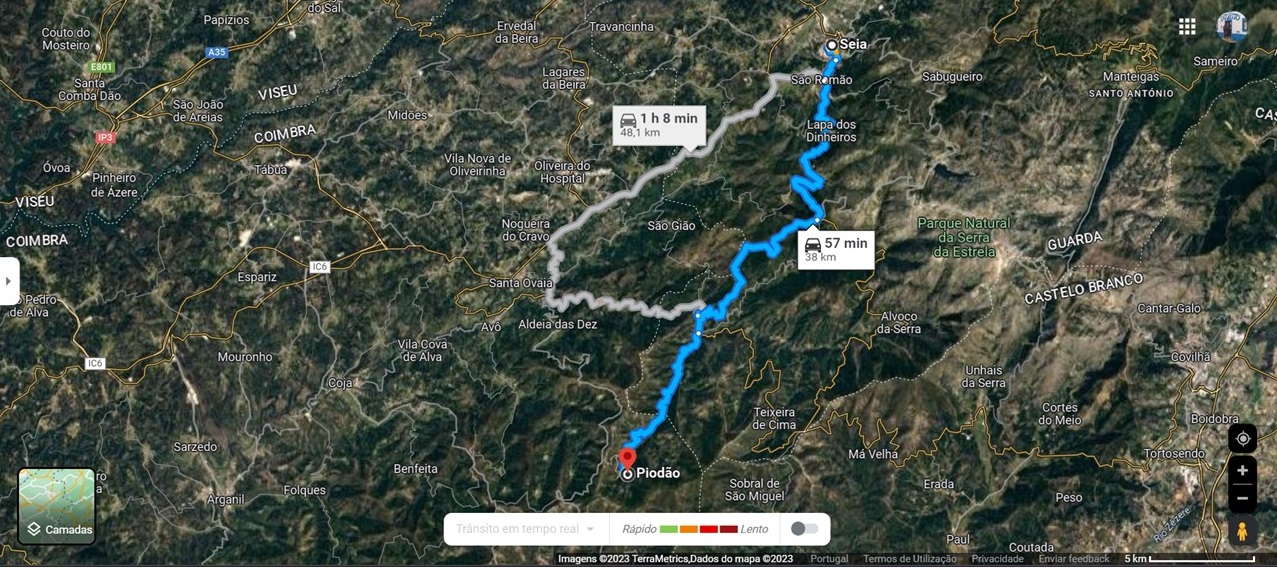
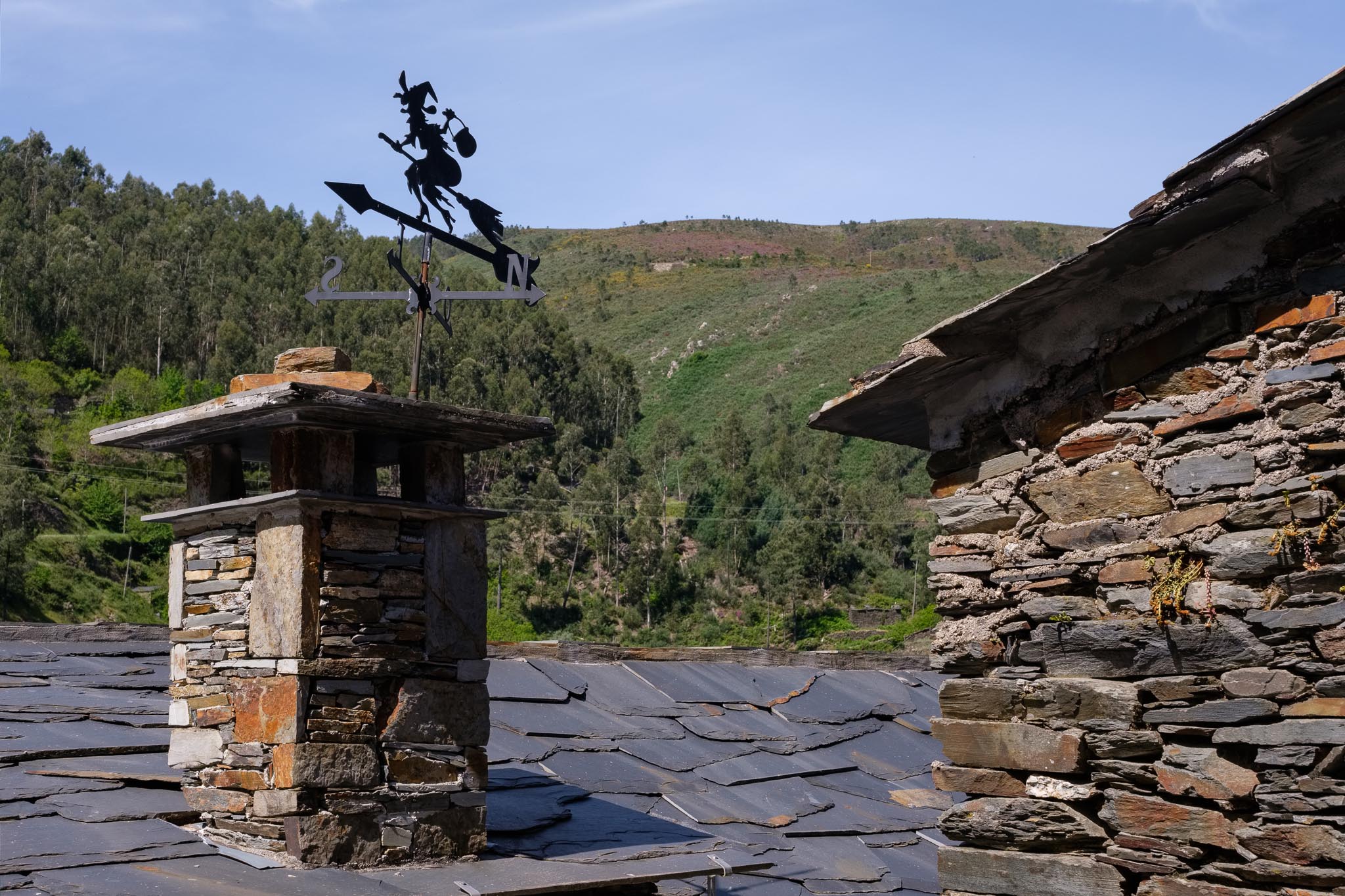
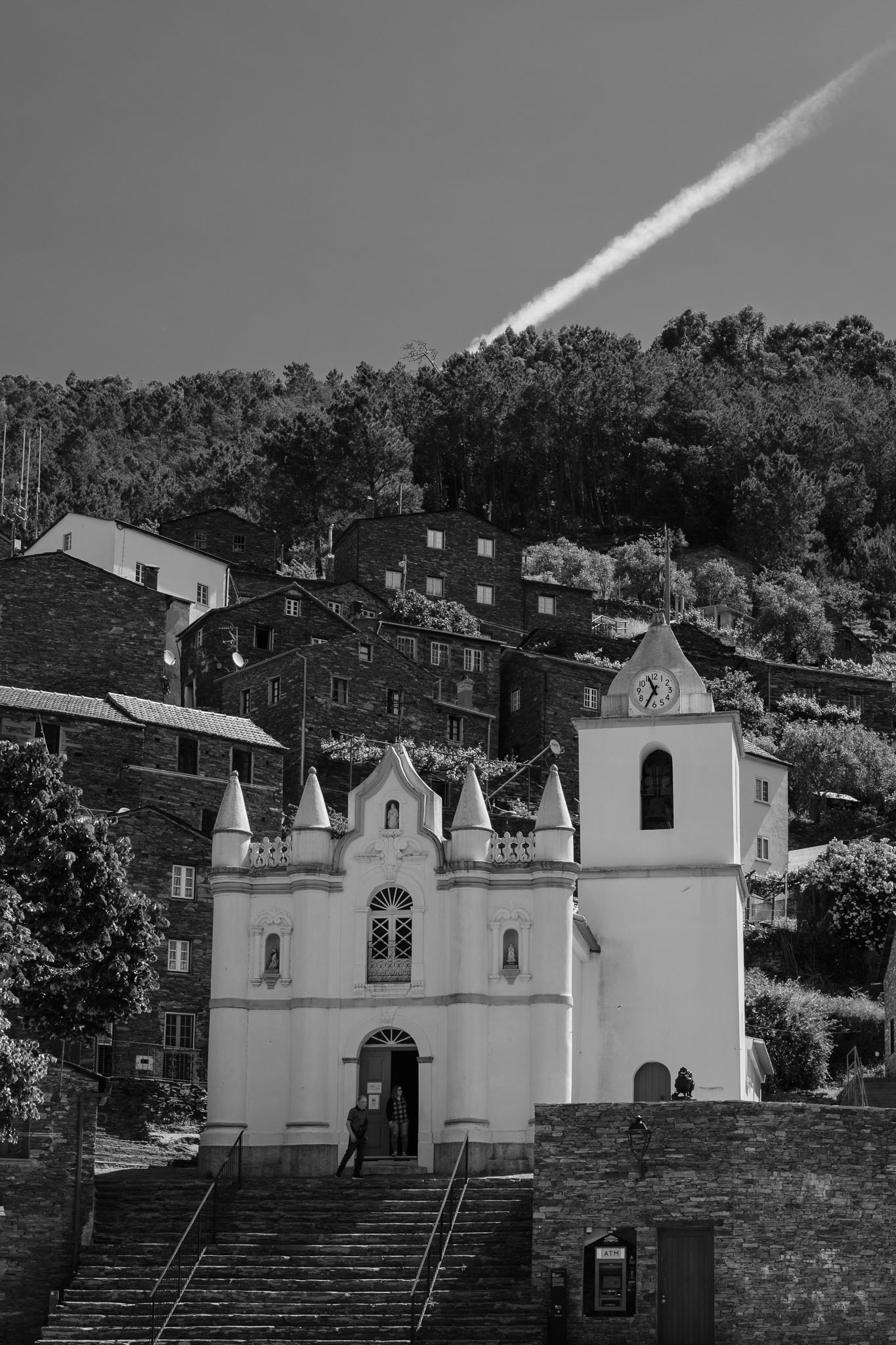
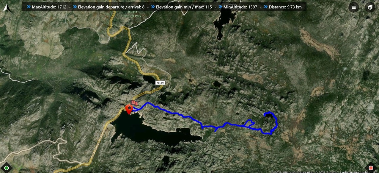
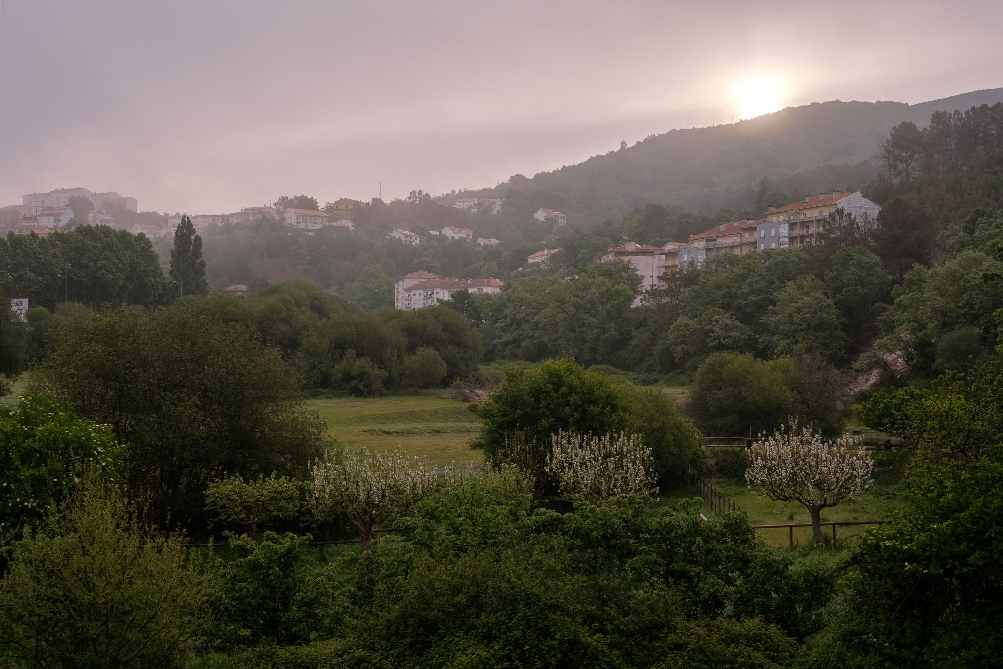
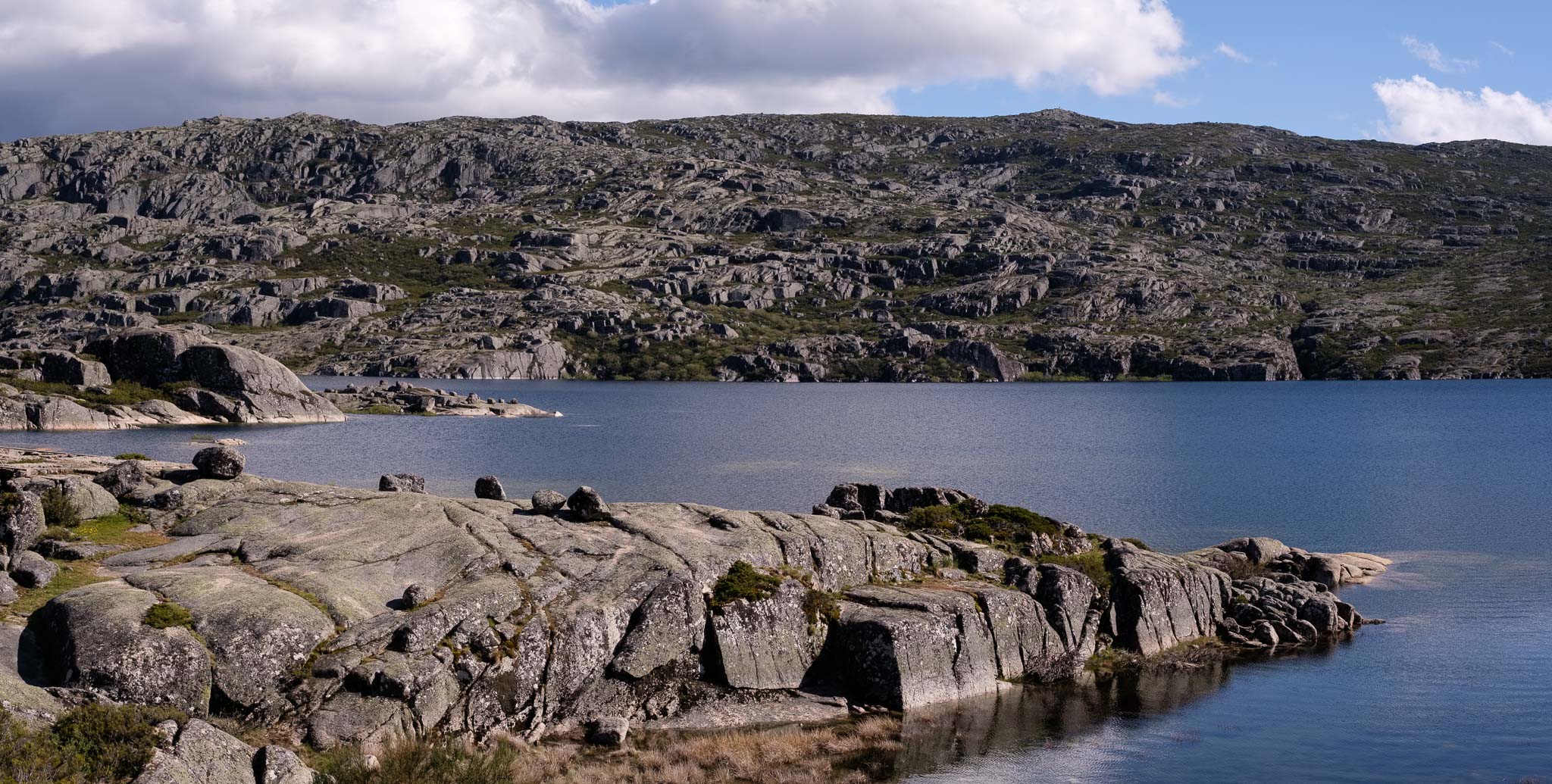
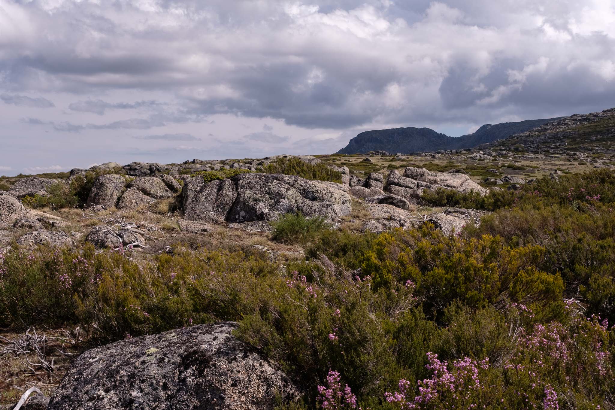
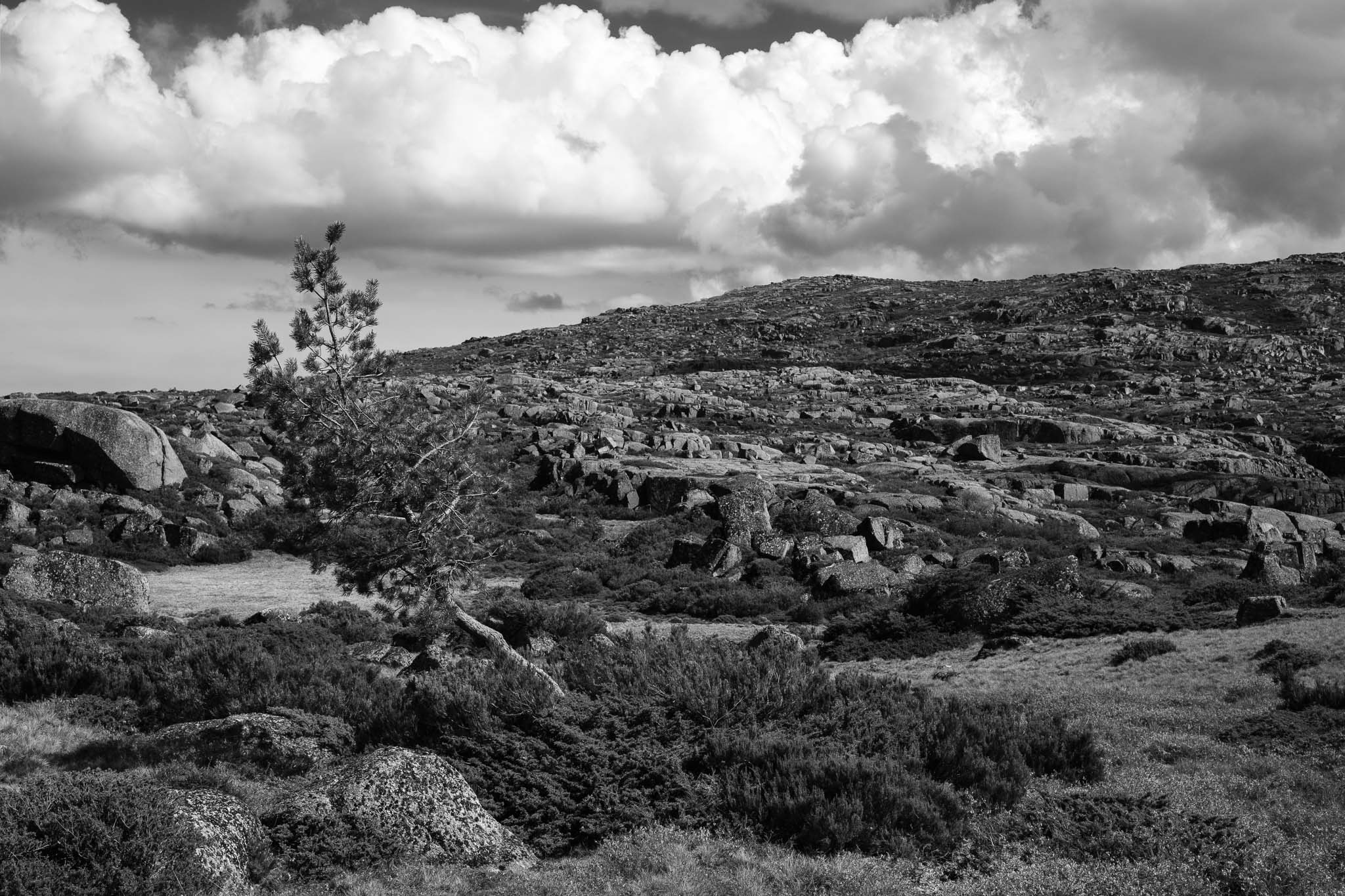
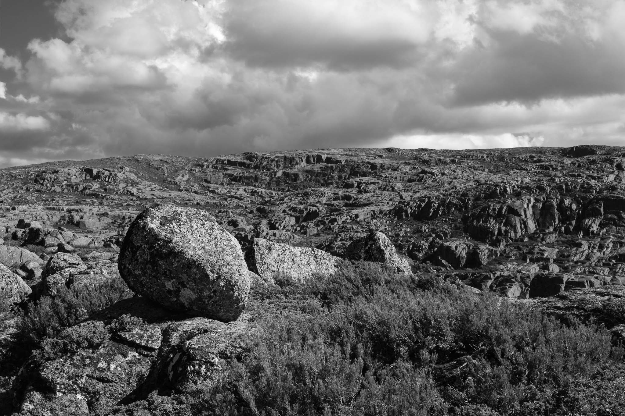
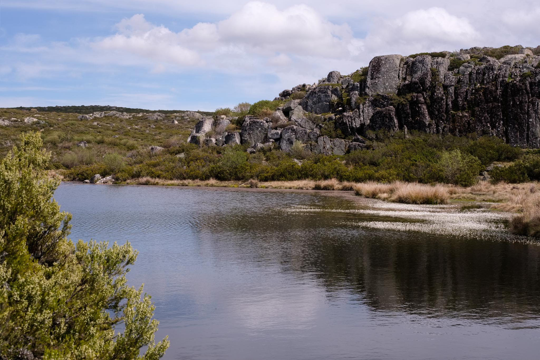
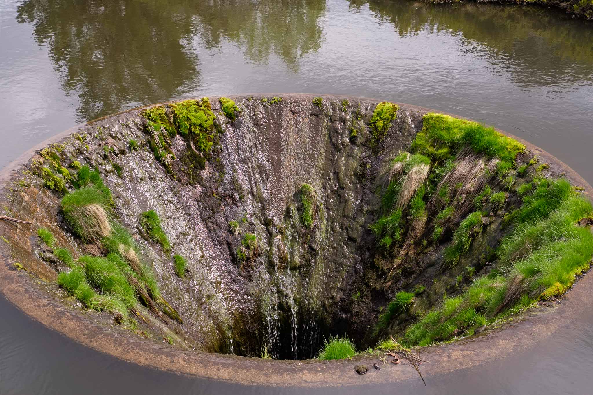
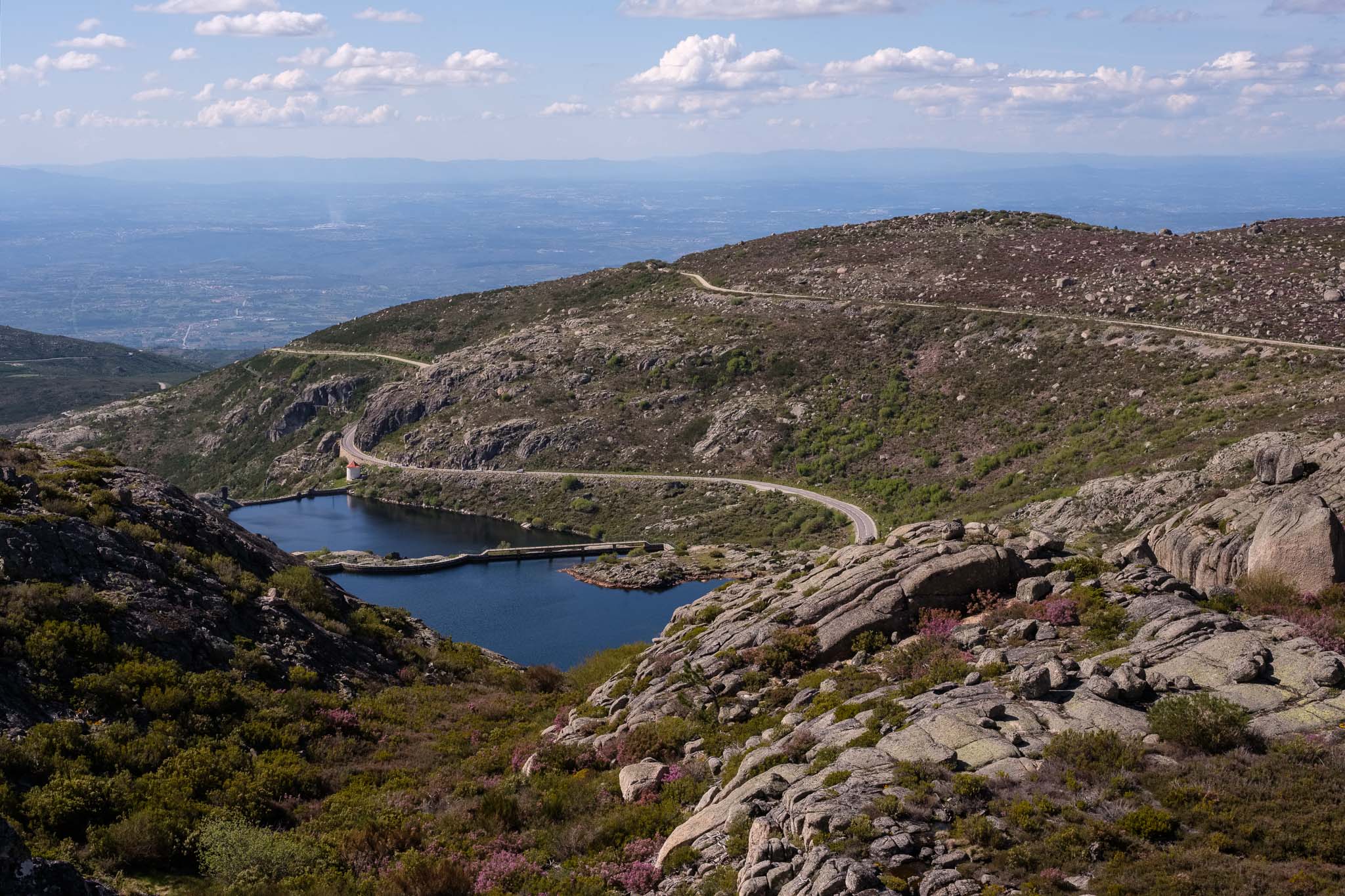
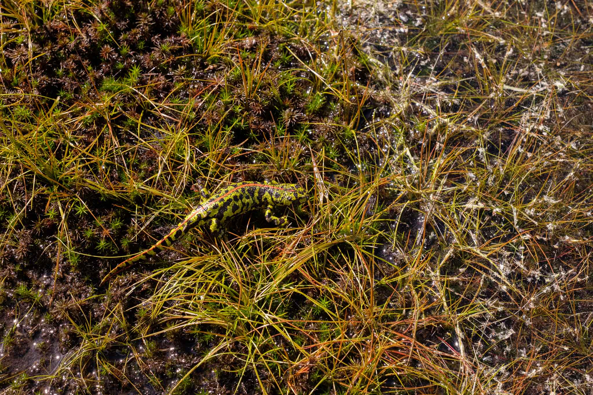
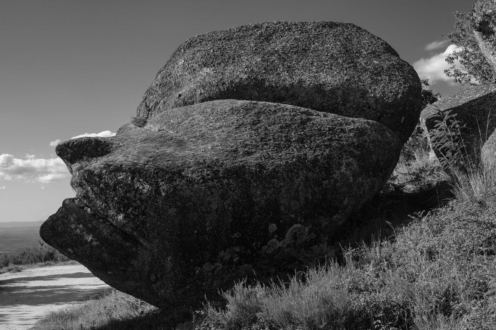
After a break of about 1 month, during which I visited the Serra da Estrela region in central Portugal, I went back on the trail in the Rota Vicentina. This time, I chose route 18, which I had never walked before. This is a circular trail located near Bordeira, connecting this village to the coast (see map below).

Map of route 18. This is a circular path 13,5 km long between Bordeira and the coast. The light blue track represents a shorter option (6,5 km), whereas both blue tracks display the entire route.

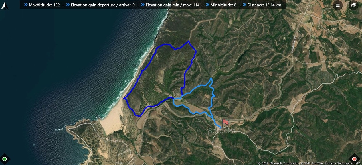
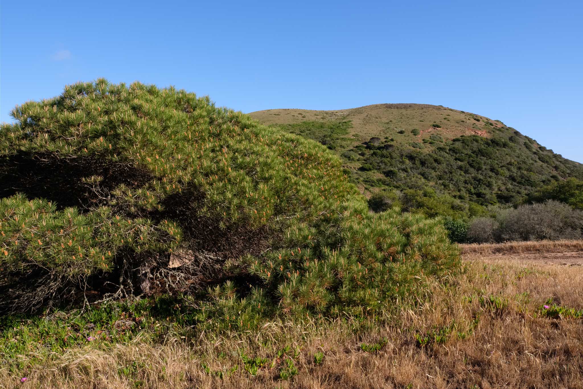
I walked this trail about 2 weeks ago, in a nice sunny afternoon. The trail starts in Bordeira, a small village near the coast, from where other trails begin, such as route 17, which I have written about before. The path is well signaled and is easy to follow. It offers a mix of hilly terrain, where schist predominates (covered with the green shrubbery of Spring), and sand closer to the shore. Since I was doing this walk for the first time, I carried my Fujifilm cameras and lenses, namely my 16mm wide angle and my 70-300mm telezoom.

In the beginning of the trail, looking at the village of Bordeira.
The hills are covered in these colorful flowers, Gum Cistus.

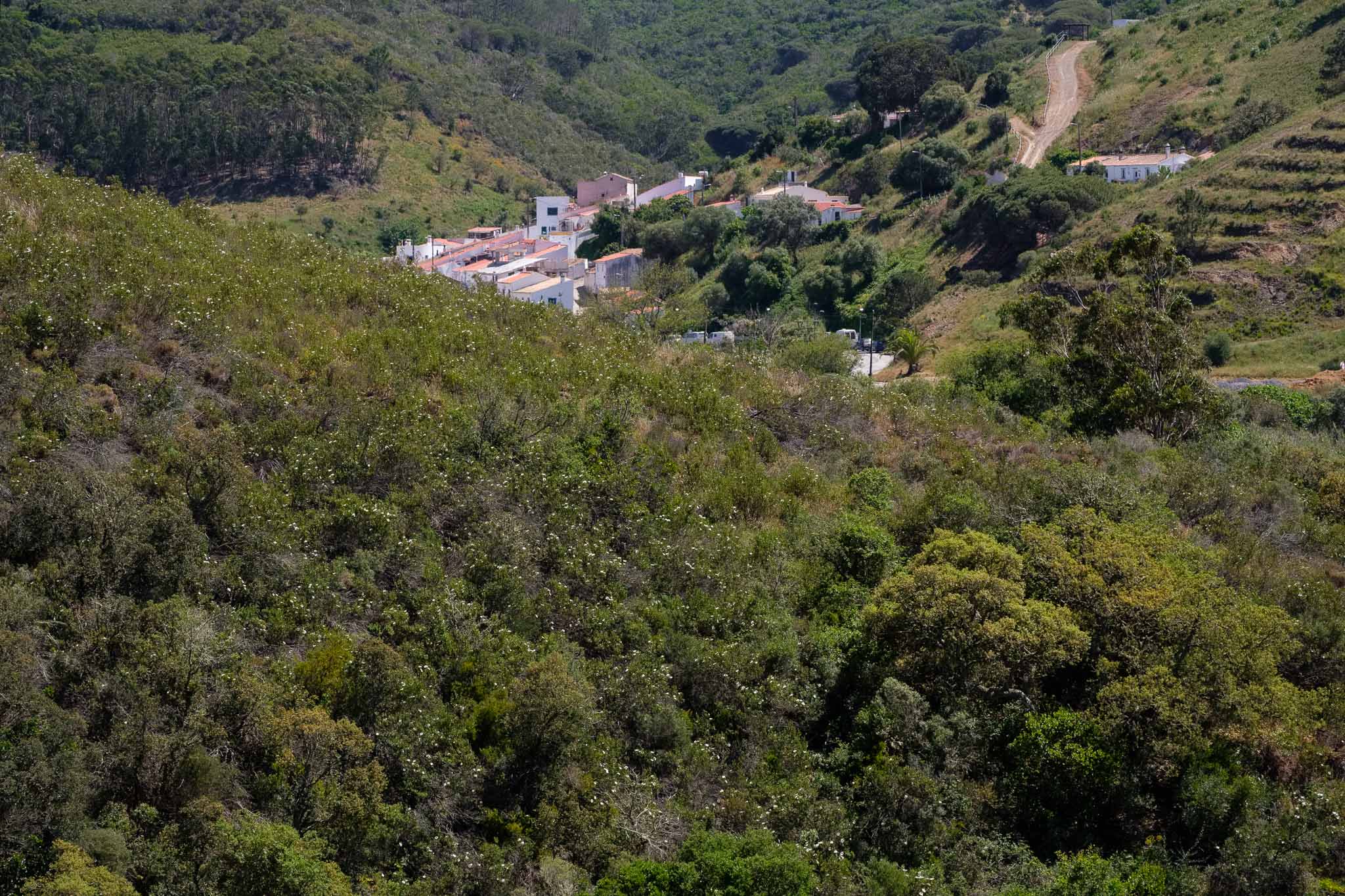
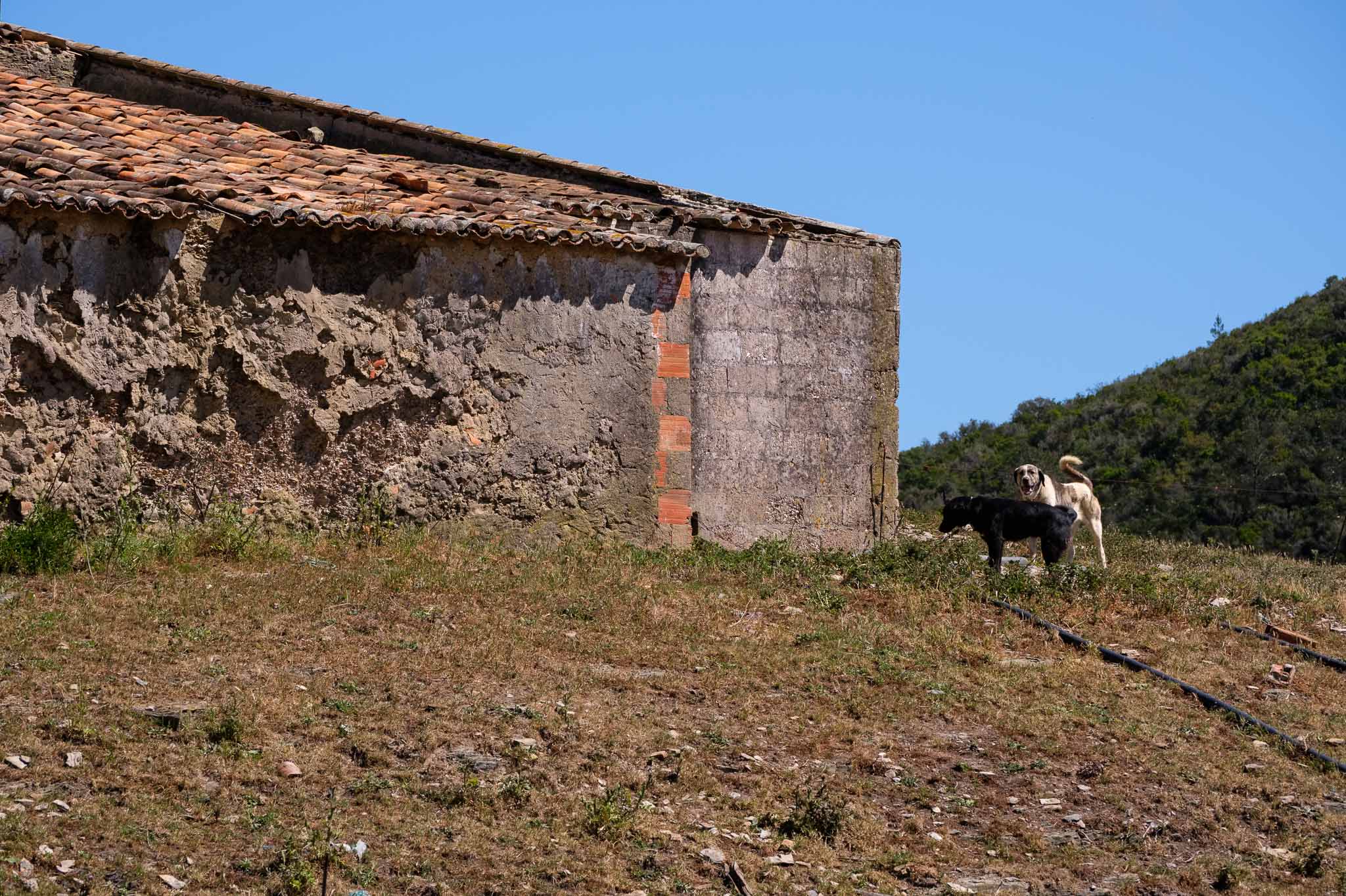
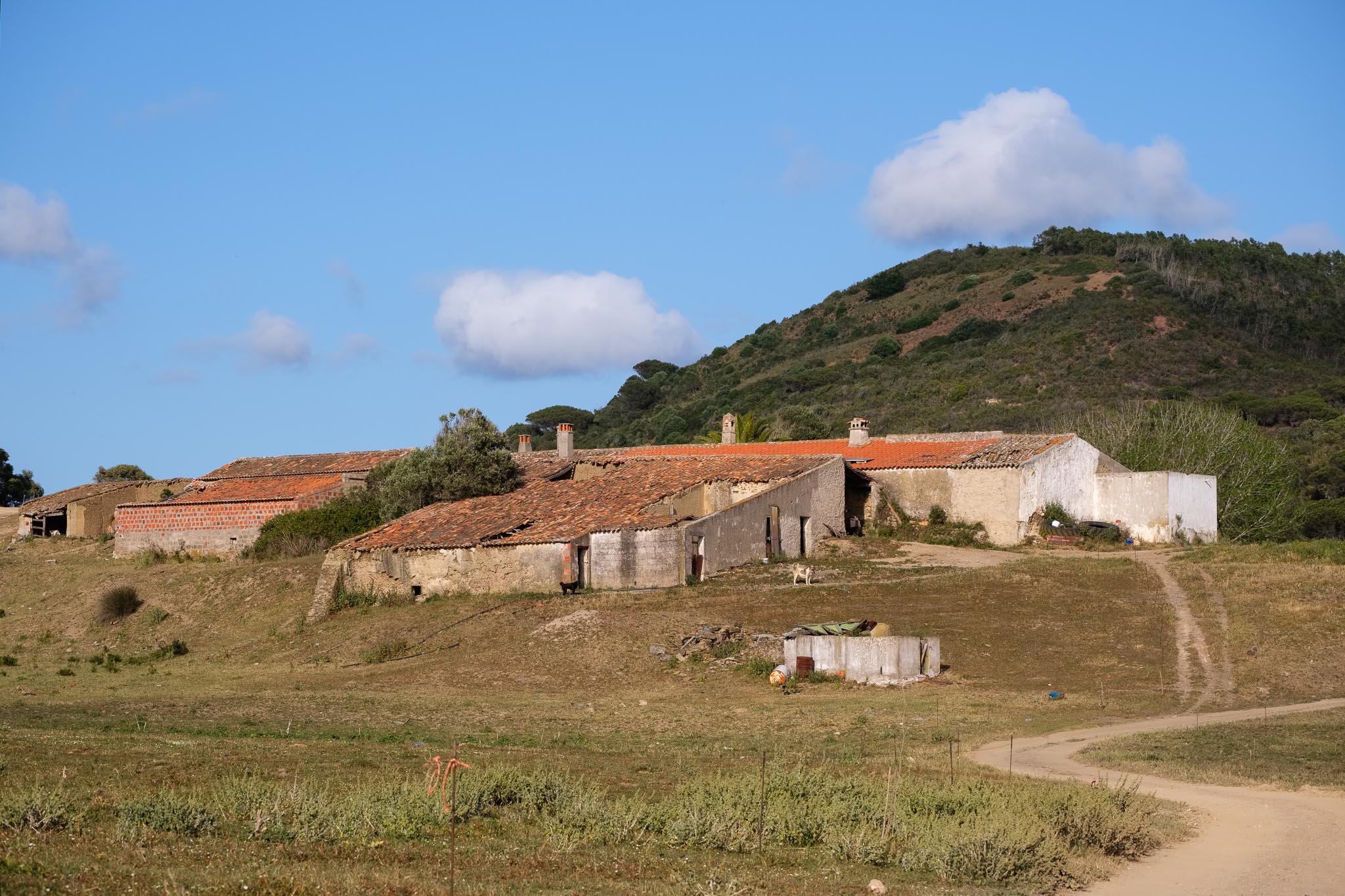
During the first couple of km, the track climbs a small hill, before descending into the Bordalete valley. Here, you will pass near a farm house, on the way to the coast. The building is a bit ruined, but the fields are still cultivated.

Looking down into the valley.
Along the trail path.
Shepperd dogs in the Bordalete farm.
Bordalete farm house.

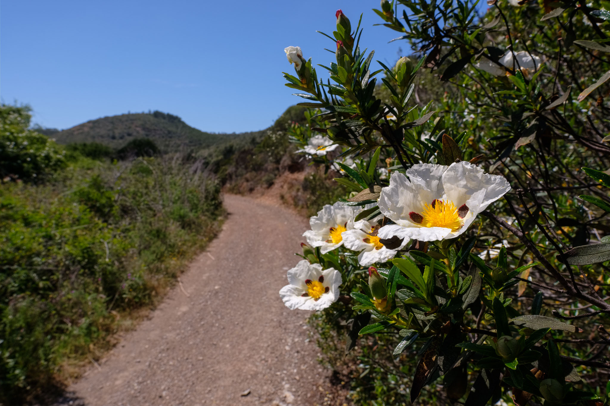
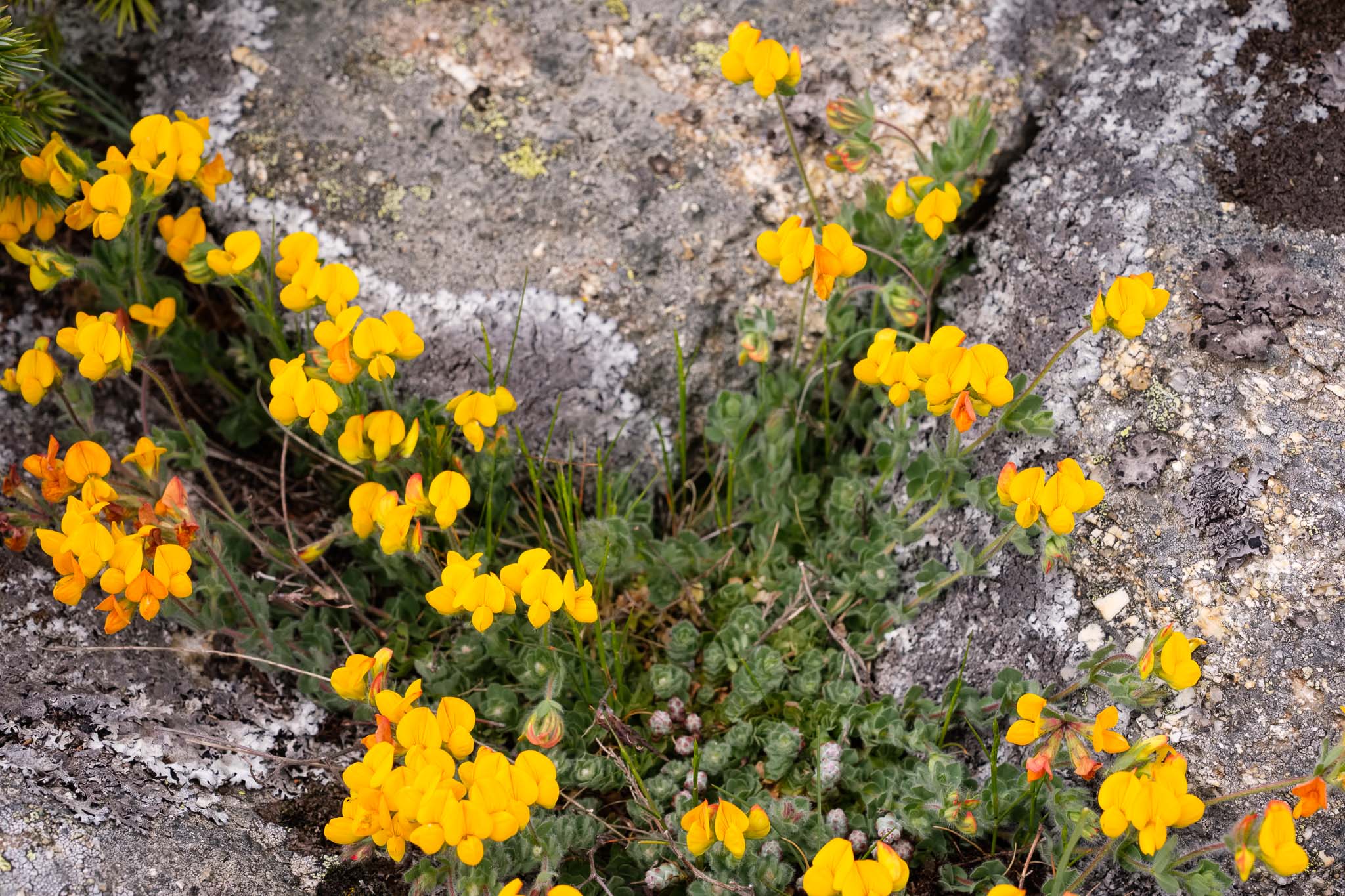
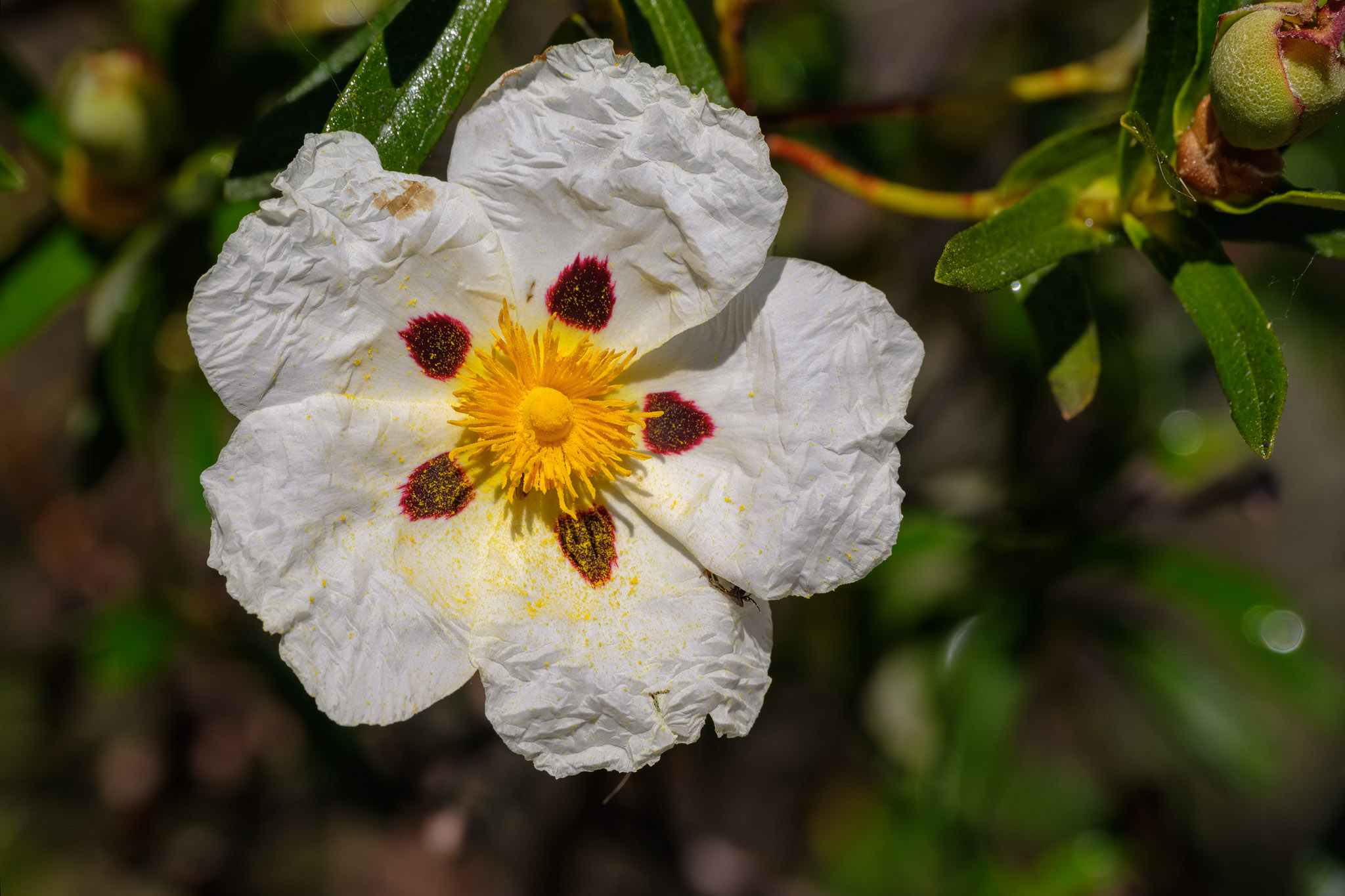
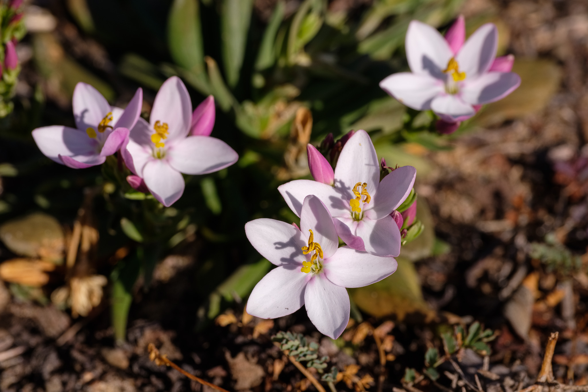
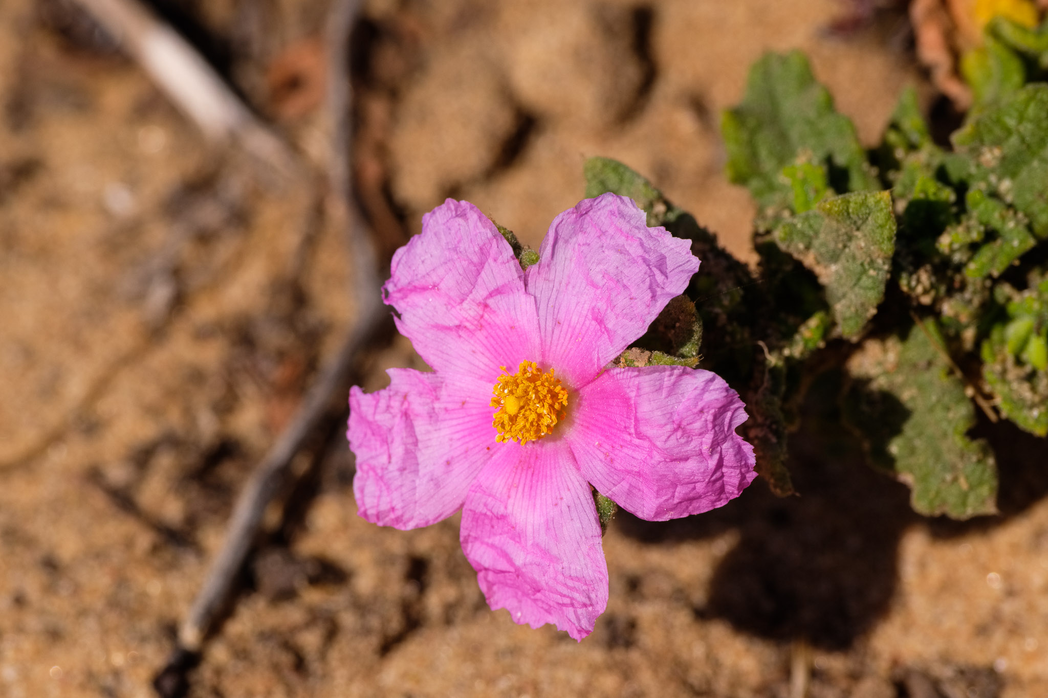
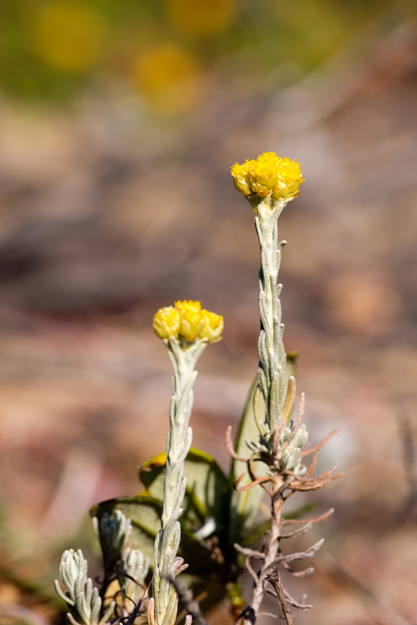
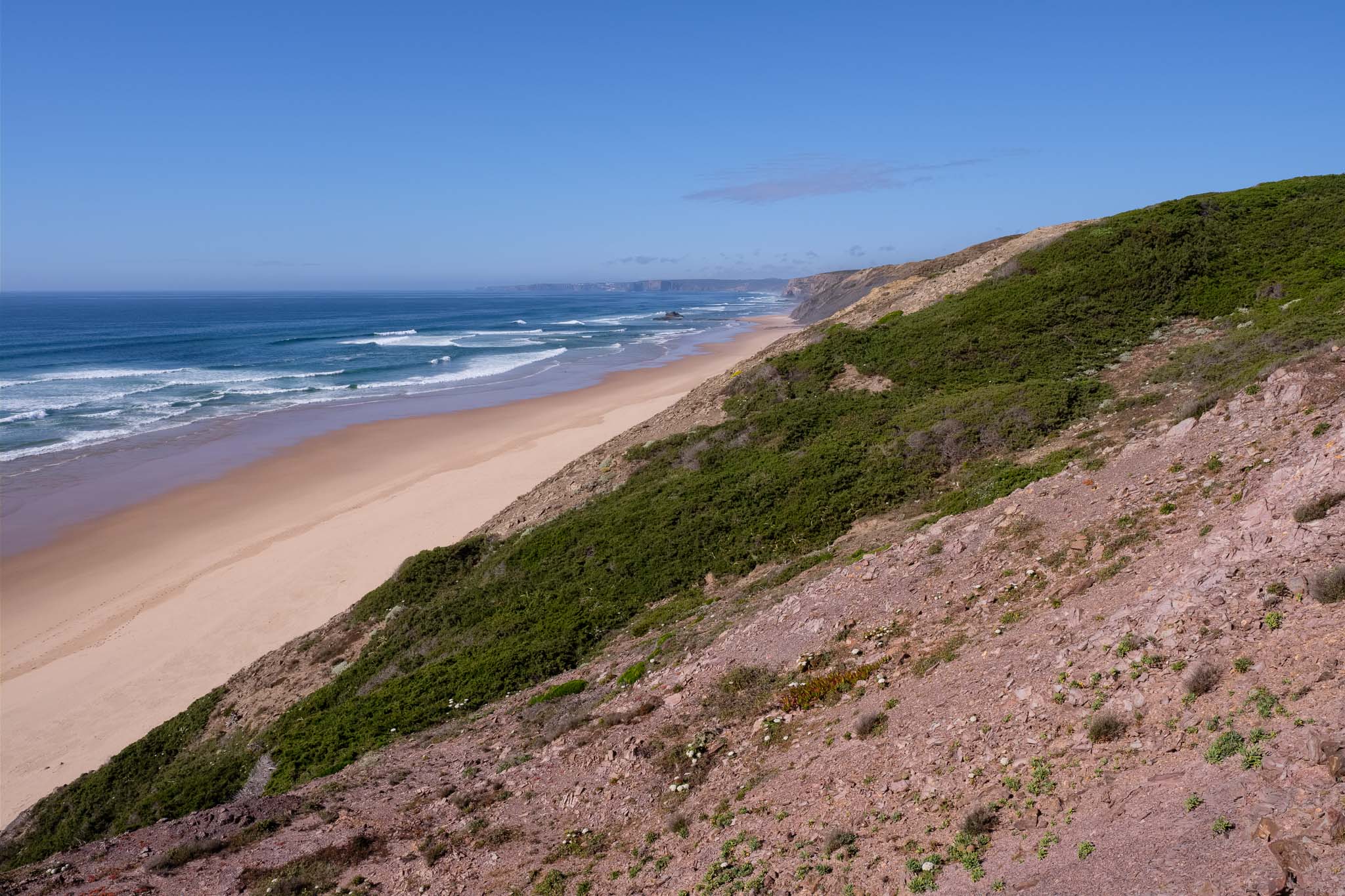
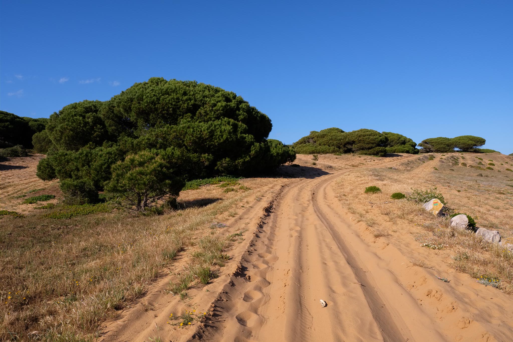
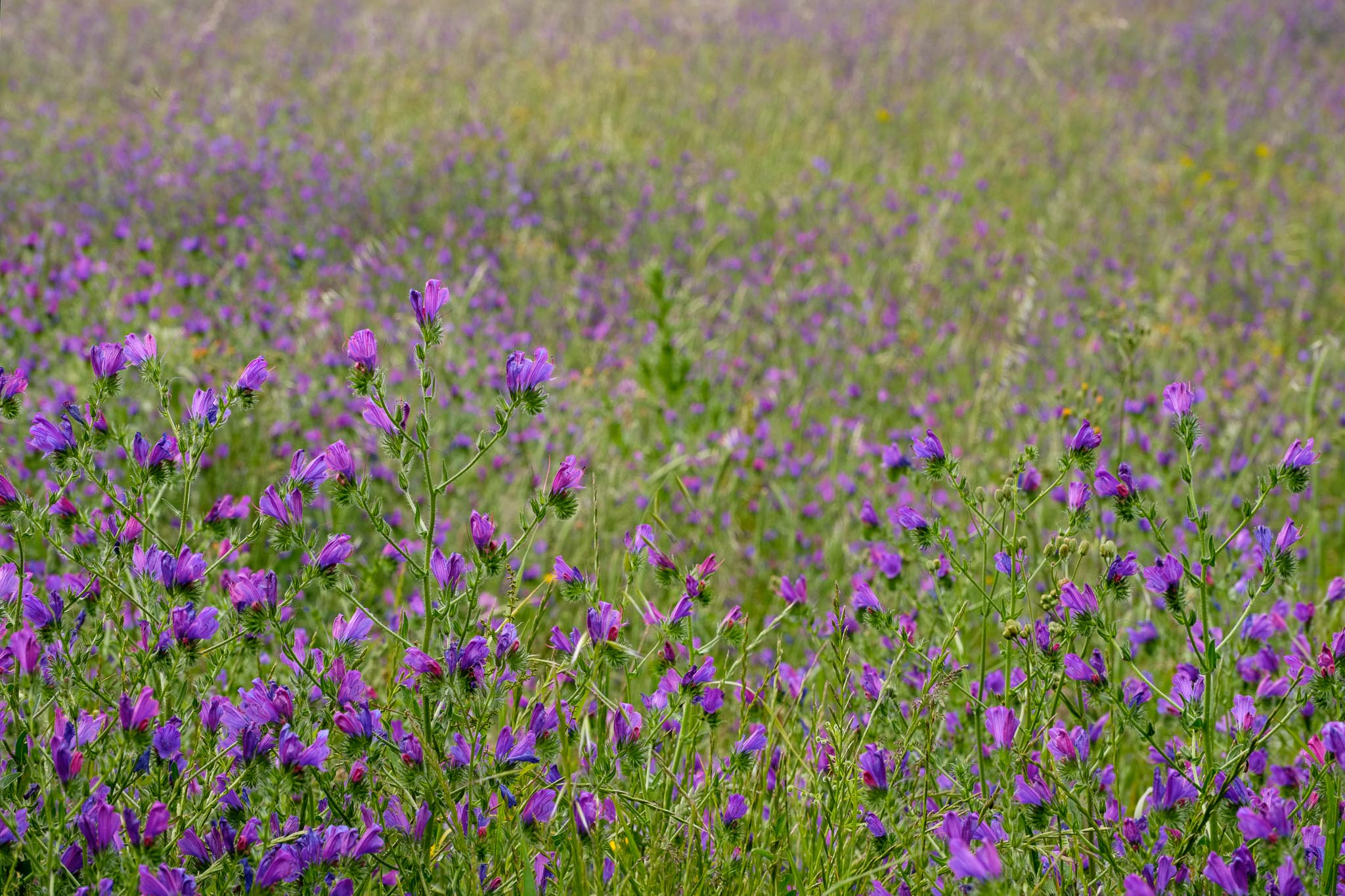
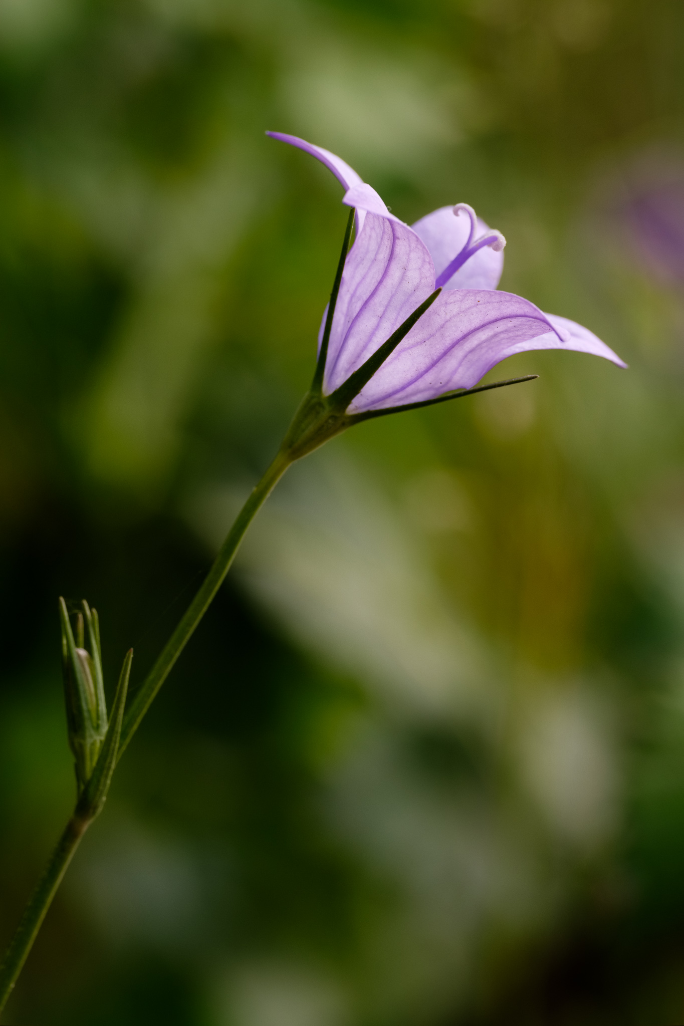
Leaving Bordalete behind, the trail climbs again, until it reaches the plateau. The views encompass the Serra de Monchique to the south, plus the first glimpses of the sea in the distance. Soon I reach the dunes where the walk is now over soft sand, making for a slower progress. I spend some time photographing the local flowers, which add some color to the landscape.

Plateau scenery, with Monchique in the distance.
Common Centaury.
Common Centaury.
Wrinkled Rockrose.
Helichrysum.

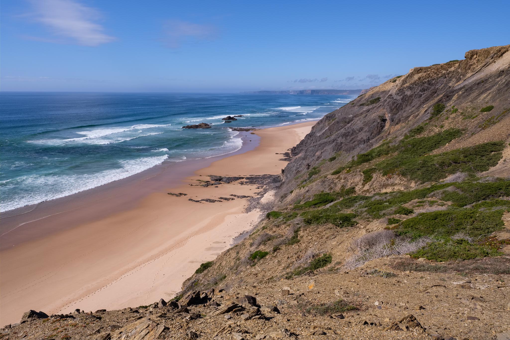
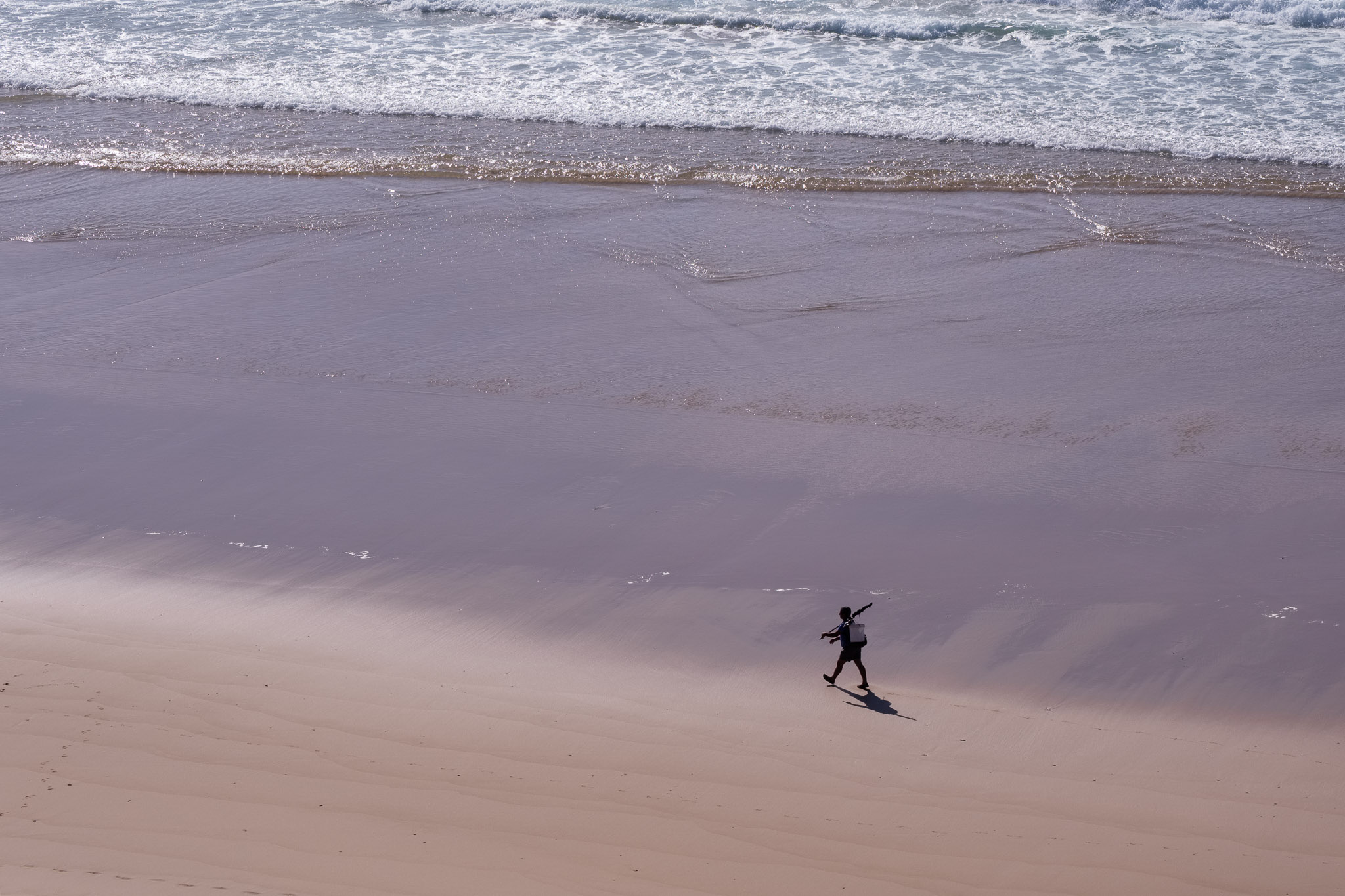
Reaching the coast, the view opens up into a continuous stretch of wild beaches, between Carrapateira in the south and Arrifana in the north. This is the Vicentina Coast at its best. My advice? Bring your swimming trunks.

The wild Vicentina coast.
Looking north towards Arrifana.
Looking south towards Carrapateira.
Fisherman.

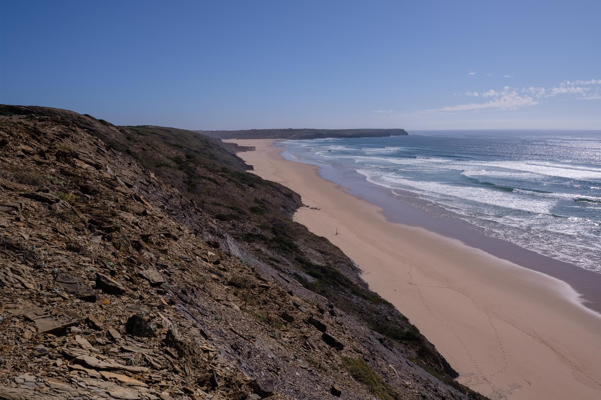
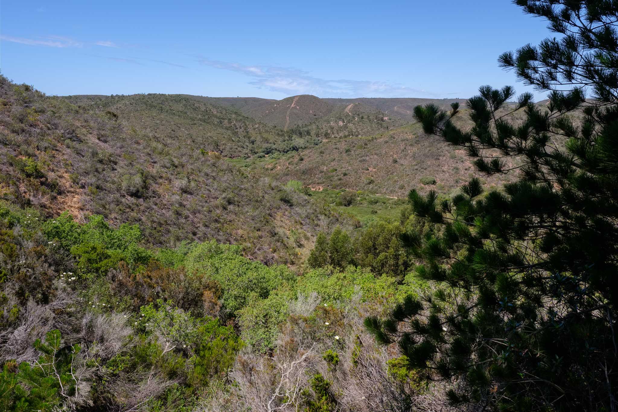
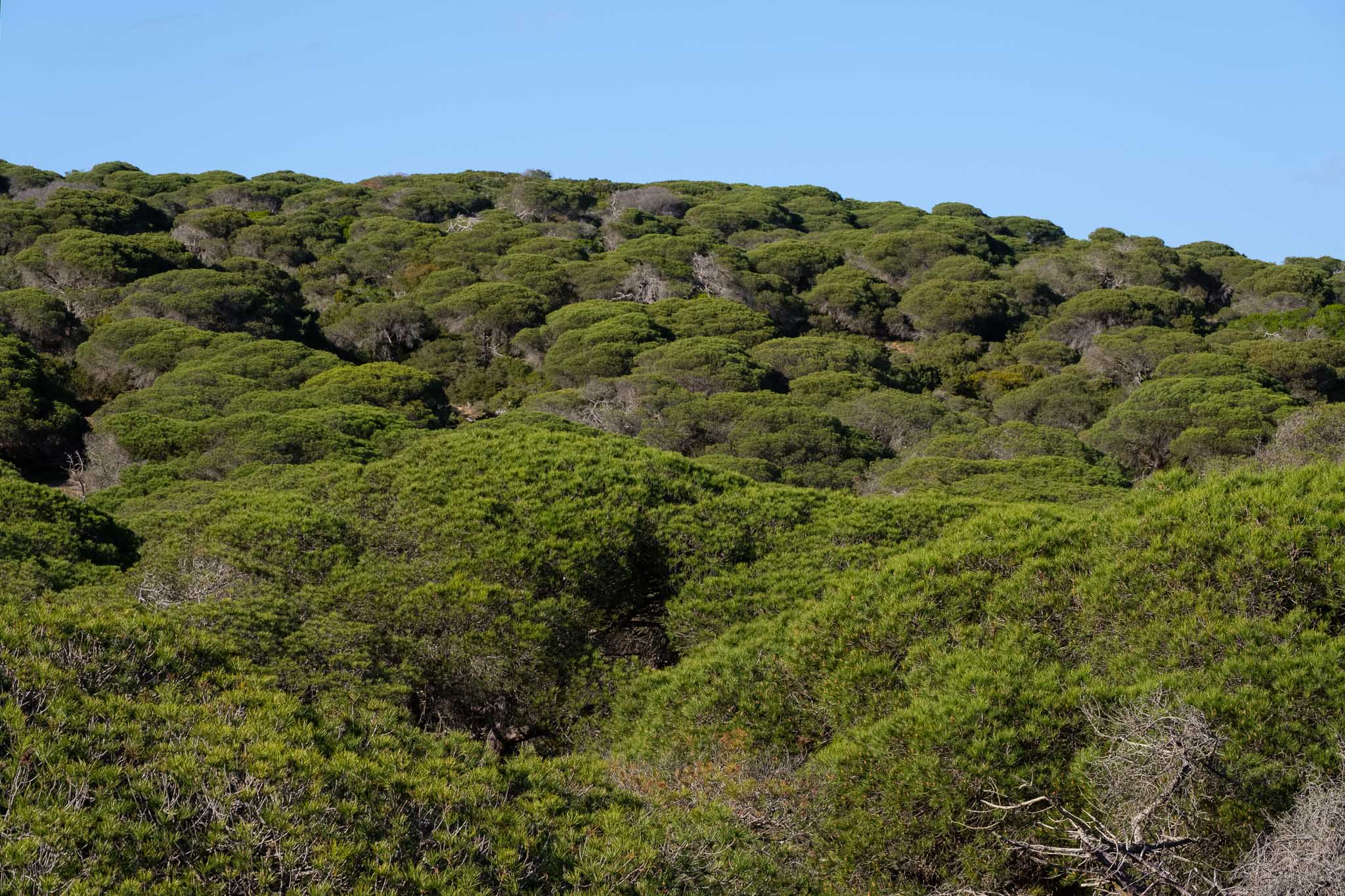
The trail follows the shoreline for a while, before turning back into the interior. It then crosses another interesting place, the Bordalete pine forest, which was planted in the sand dunes as a source of wood. The afternoon is warm, so the shade they provide is welcomed.

The hills near the coast.
Old farm house near Carrapateira.
Sandy trail in the Bordalete pine forest.
Bordalete pine forest.

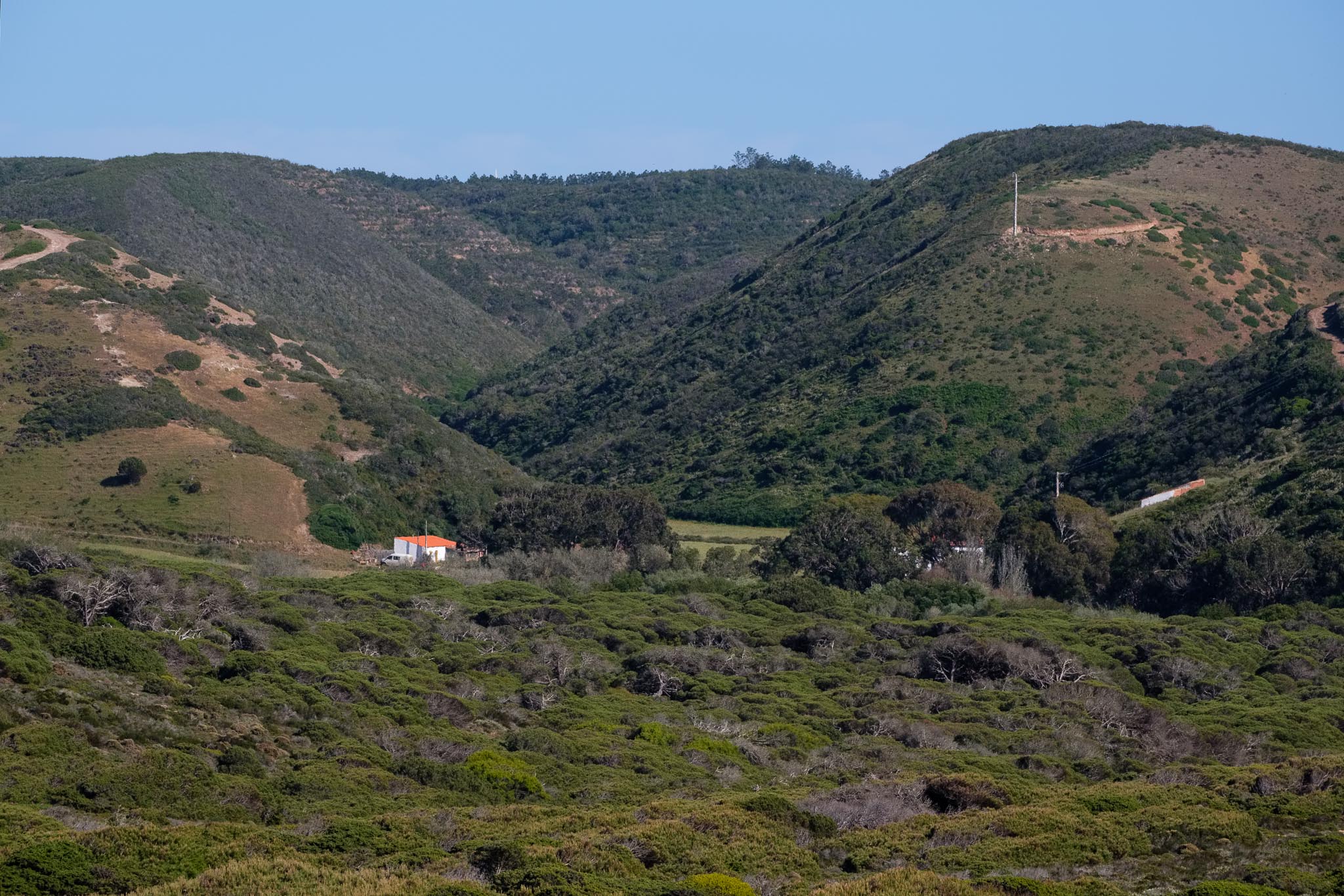
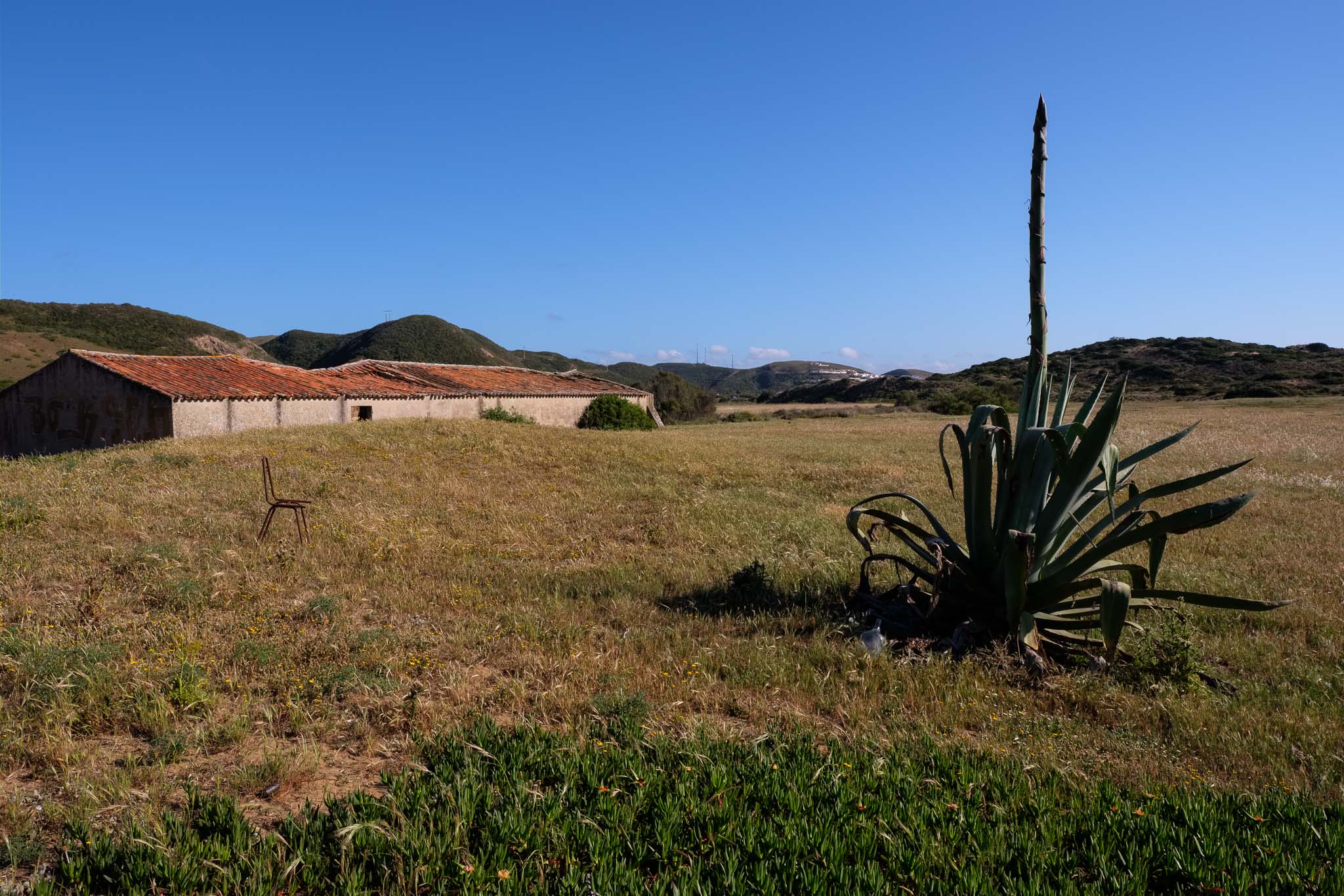
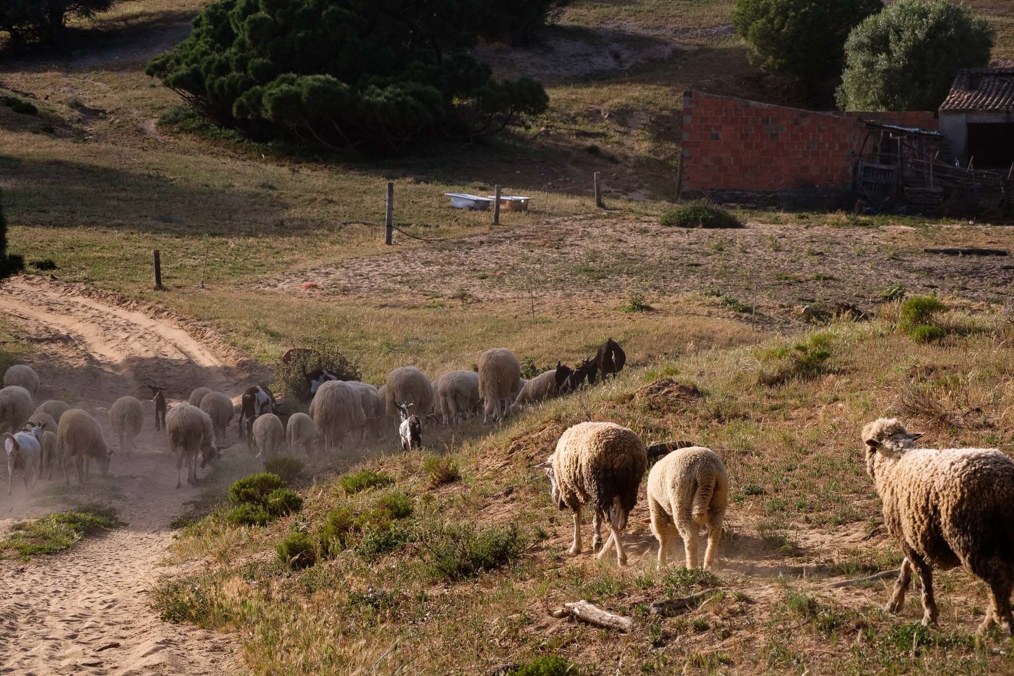
Further along, the trail once more passes next to the Bordalete farm, where a shepherd is gathering the live stock (cows, sheep, and goats) at the end of another day.

Returning home.
Taking care of the animals.

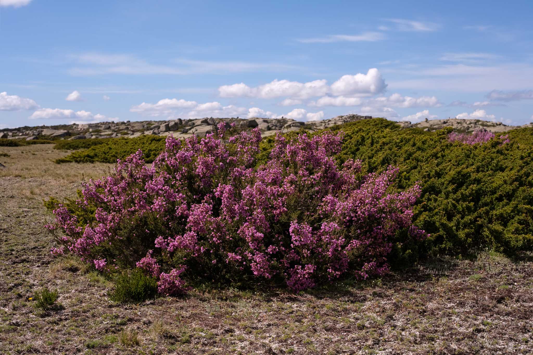
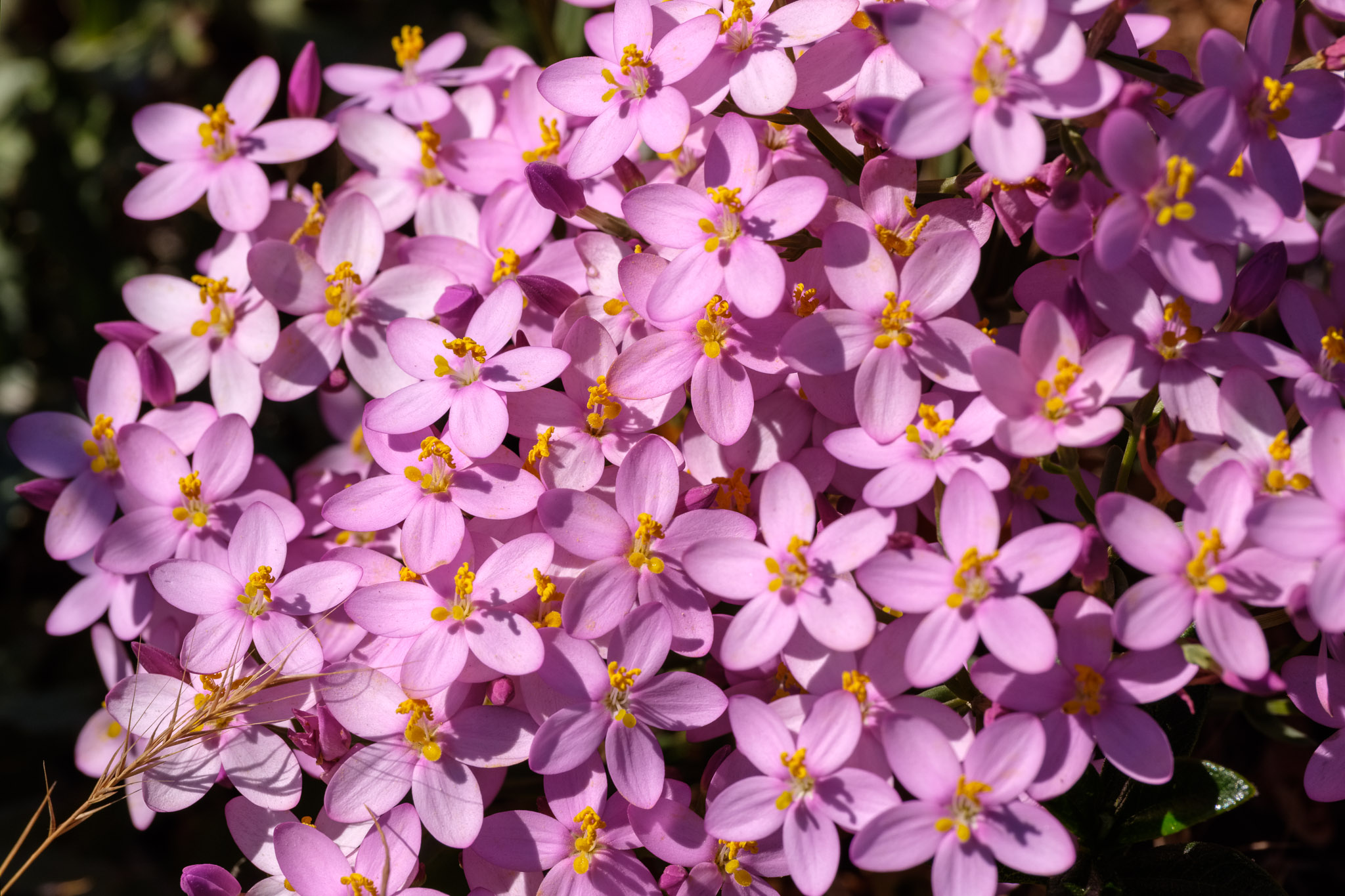
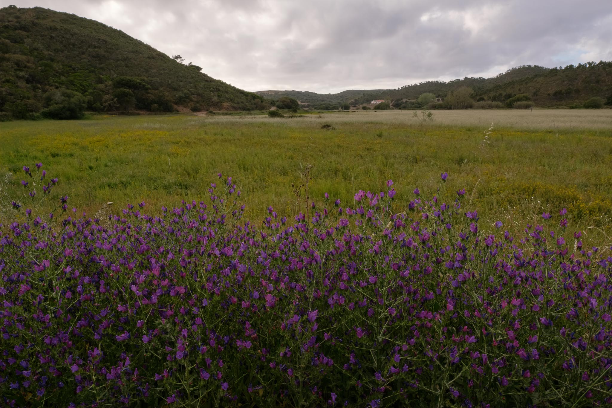
The final part of the walk was made under a cloudy sky, and follows a fertile valley full of purple flowers. The buzzing of the bees is constant. I stop to photograph a few more flowers, which requires waiting for the wind to subside before clicking the shutter.

Field of Purple Viper’s Bugloss.
Lowland near the end of the trail.
Common Vetch.
Rampion Bellflower.

I very much enjoyed this trail, because of the diversity of the terrain, with a mix of countryside and beaches. As Spring turns into Summer, with the concurrent rise in temperature, the trail season in SW Portugal is approaching its end, but perhaps I will manage to walk a few more routes.

Piodão, Serra do Açor, Portugal

This article is an addendum to the previous one about Serra da Estrela. When driving back home after spending a few days in that region, I decided to make a small detour to a place that I have been wanting to visit for a long time, the village of Piodão. Its location is shown in the map below. I started the drive in Seia, and even though the road between it and Piodão is full of hairpin turns, the landscape is memorable. The Serra do Açor lies to the south of Serra da Estrela, almost as an extension of it; we continue to be inside the tall mountains of central Portugal.

The twisting road between Seia and Piodão.

These mountains display a gentle profile, as the hard granite of Estrela gives way to the softer schist. In the distance, one can see the small and dispersed villages in the slopes of the mountains, hidden near deep valleys.

On the road between Seia and Piodão.
Serra do Açor in the distance.
Medieval bridge in Vide.

The road hugs the mountainous terrain, and progress is slow. But this is fine, because time seems to have slowed down in this region. I stop a few times to take some photos, because every turn opens up a new panorama. Spring has arrived in full force, so the slopes and escarpments are covered in green, which is nice.

Inside Serra do Açor.

Piodão is a very old village, one of the several that remain inside the Serra do Açor and the nearby Serra da Lousã. It is part of a network of historical villages (called “aldeias de xisto”), created years ago in an attempt to stop the human desertification that affected this interior part of the country. In the past, the economy of the region was based in agriculture and pasture; today, these still exist, but have been surpassed by tourism, as the number of visitors grows steadily. People come here to experience an almost lost but traditional way of living, where human activity respects the cycles of Nature.

It is Saturday, I arrive around 10 am, the parking lot is full and there are a few tourist buses. Piodão is definitely on the map. Still, after parking the car, I walk around for a while, climbing the hill opposite the village to get a sense of its surroundings. This happens to be a nice place for a general photo. The houses, built from the local black schist rock, are notched in the slope of the mountain, and terraces have been created to provide agricultural grounds.

General view of Piodão.

I spend the next couple of hours walking along the village’s narrow streets, admiring the houses and the local way of living. Water is abundant, coming straight down from the mountain.

Typical street in Piodão.
Water from the mountain.
Black schist roof.
Picturesque.
Interesting weather vane.
Church.

There are a few trails that start from here, and for sure I will return to further explore this beautiful region of the Serra do Açor.

Lagoa Comprida, Serra da Estrela, Portugal

A few weeks ago I visited Serra da Estrela, in central Portugal, during several days. In one of the days, my plan was to trek between Lagoa Comprida and Covão dos Conchos, but the weather was uncooperative; the fog was so dense the visibility was near zero. I had the chance to go back last week, and this time it was possible to walk along this wonderful trail. A location map is given below.

Trail path between Lagoa Comprida (on the left) and Covão dos Conchos. Total round distance is 10 km.

Located at an altitude of around 1,600 m, Lagoa Comprida is an artificial lake in the municipality of Seia, created by a dam that was initially built in 1912; the structure underwent several updates since then. Covão dos Conchos is another artificial lake, built in 1955, about 5 km away, that recently has become famous due to a particular structure, but that is for later. These two dams are part of the larger water storage and management system that exists in Serra da Estrela.

It is easy to reach Lagoa Comprida from several surrounding towns, like Seia, Gouveia, Manteigas and Covilhã. The mountain roads are often narrow but are kept in a good conservation state. The day dawned with a persistent fog, so I decided not to risk it again, and only went up around noon, when the weather started to clear. I started the drive from Seia, on the western slope of the mountain. Serra da Estrela is the highest mountain in continental Portugal, so after a few km, the road starts to climb steadily, until it reaches the plateau in Lagoa Comprida. Along the way, the views are breathtaking, and the air is fresh and crisp.

Sunrise in the fog, Seia.

The trail starts on the left side of the souvenir/coffee shop, and is very easy to follow. The scenery is dominated by the deep blue water of the lake, which contrasts with the rugged granitic landscape. Some menacing clouds loom on the horizon, adding a touch of drama. When the ice from the last ice age melted, it left behind fractured granite outcrops, and glacial erratic blocks; today, the cycles of freezing and thawing continue to fracture the rock, creating a unique landscape in Portugal.

I put my camera to good use, and took many photos of this wonderful landscape. I decided to take with me only one lens, the Fujinon 33mm f/1.4, mounted on the Fujifilm X-T4 camera. I think a lens with a standard focal length is a good option for this area. Given the rugged character of the granitic terrain, I also converted some images to black and white.

View over Lagoa Comprida.
Panorama of the Lagoa Comprida. Several erratic blocks can be seen in the foreground.
Landscape along the trail.
Wild landscape. At this altitude, trees are scarce.
The granitic scenery.
Shaped by the elements.

In contrast with the ruggedness of the landscape, a few patches of blooming flowers add color to the scene. Typical springtime in the mountain.

Yellow flowers.
Pink heather.

After a leisurely walk, I arrive at Covão dos Conchos; in local parlance, “covão” is a depression, or pit. In this case, a small dam was built to store the water coming from a nearby creek. But what attracts people to this place is the “funnel”, a circular spillway structure that was built in the lake. From above, it looks like a portal into another world. In fact, it is part of an underground channel that carries the water from Conchos to Lagoa Comprida. I walk around the area for a while, taking photos from different places.

The Covão dos Conchos lake.
The spillway of Covão dos Conchos.
Portal to another world?

It is certainly a different and very interesting photographic subject. The small lake, surrounded by granite outcrops is also beautiful. The only sounds I hear are the wind, the water running in the creek, and the cacophony made by hundreds of frogs in mating season. Nature at its best.

After a while, it is time to go back. I stop several times to climb some boulders, so that I can admire the panoramic views. In a small pond I found a local species of newt catching the sunshine; with its green and orange colors, it is very well disguised in the middle of the grass.

Looking down into the Covão do Corral.
A small newt near a pond.

I was glad I was able to finally walk this trail in the heart of Serra da Estrela, a truly magical place. On the way back to Seia, I made an extra stop to visit another local attraction in the village of São Romão. This is a large granite boulder that has been eroded and shaped like an “old woman’s head”. It does look the part from the right angle. It was a nice way to finish this fantastic day.

Old woman’s head in São Romão, Seia.