The Al Hoota Cave and Wadi Al Ayn Beehive Tombs

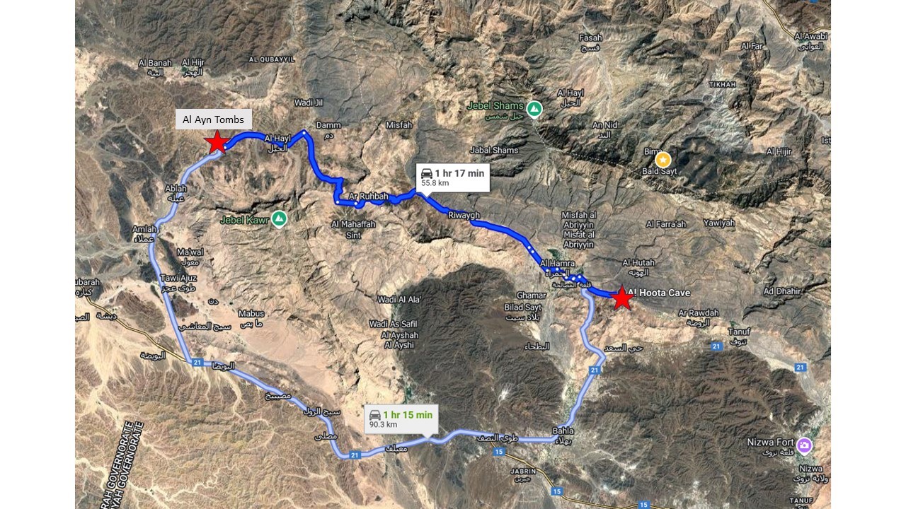
The Al Hoota cave (meaning “guide” in Arabic) is in the foothills of Jebel Shams, just before the village of Al Hamra. With its numerous stalactites, stalagmites, and halls, it is well worth a visit if you happen to be in the area. That is what I did recently, combining the visit to the cave with a visit to the Wadi Al Ayn Beehive Tombs; you can see the location of both sites in the map below. 

Mao with location of the Al Hoota cave and Al Ayn Tombs.

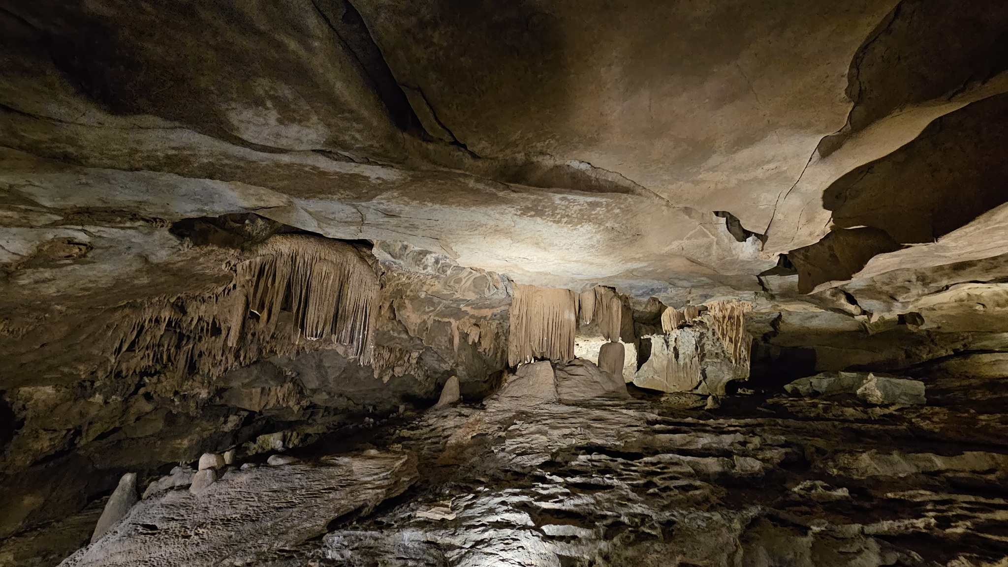
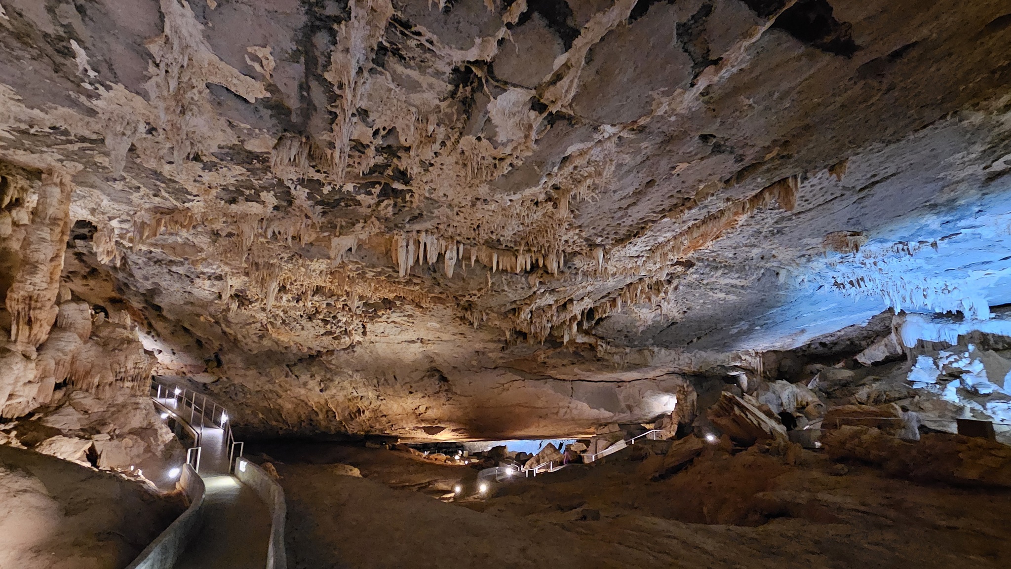
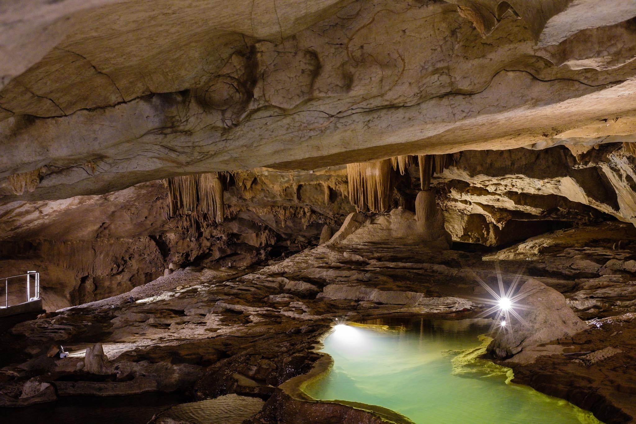
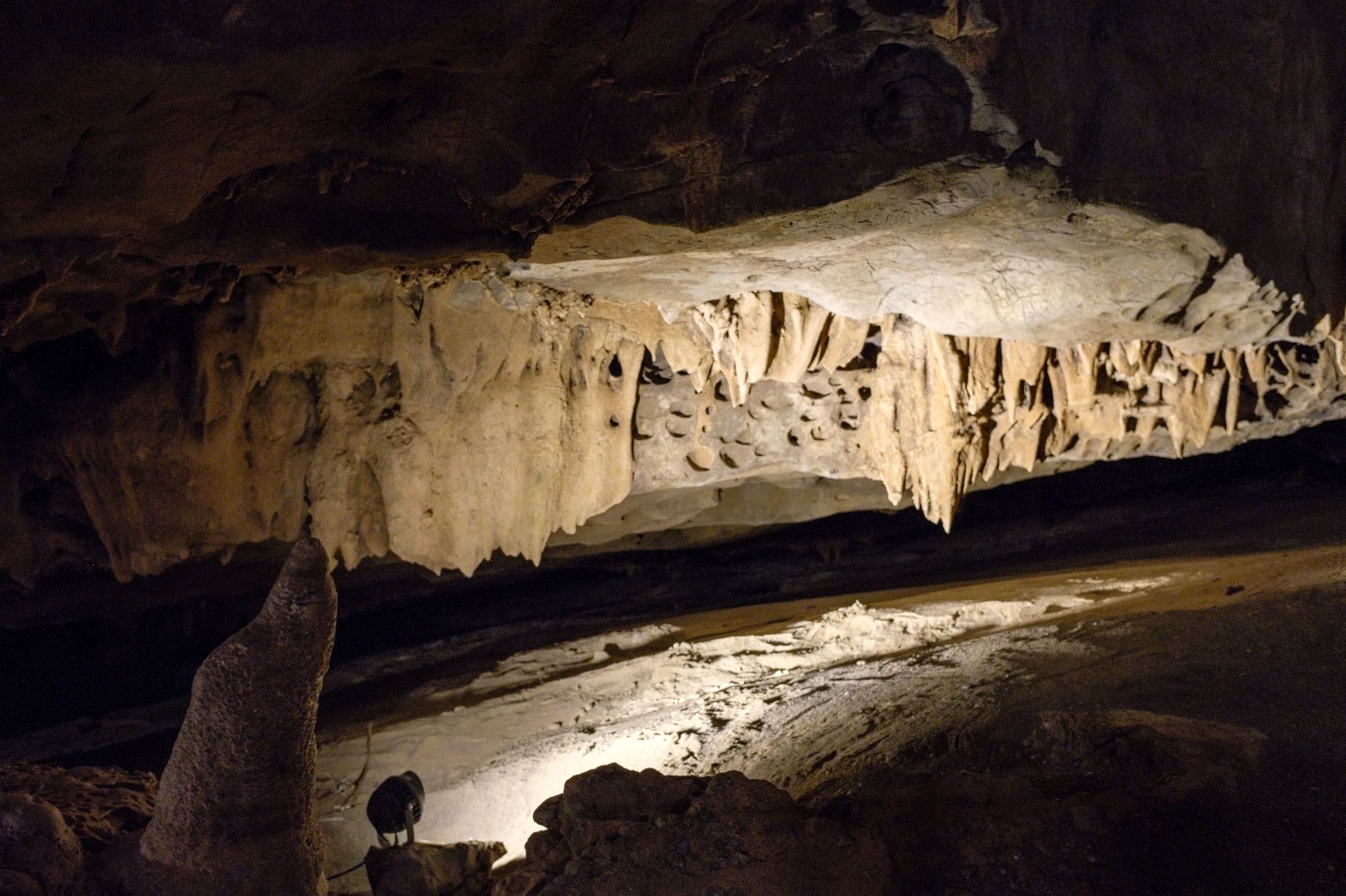
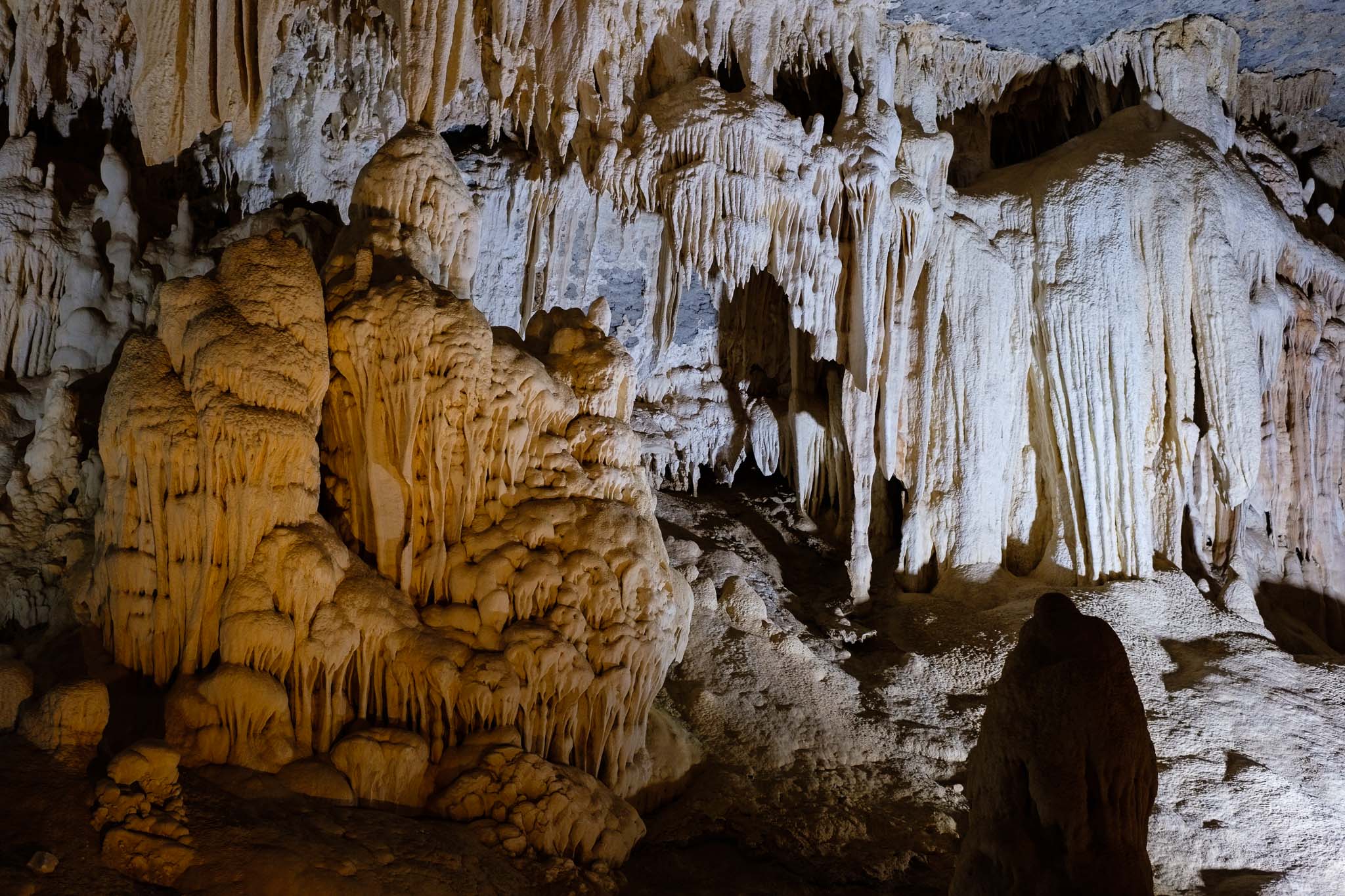
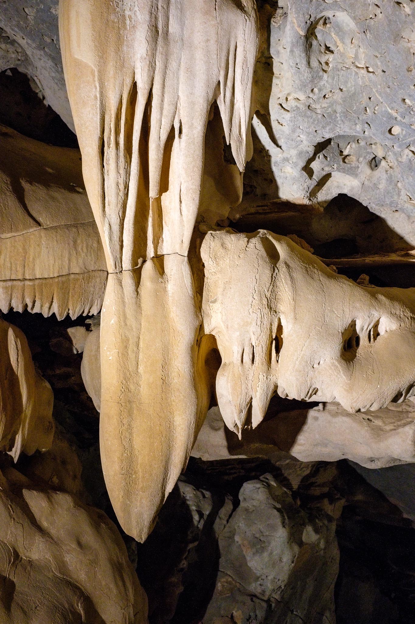
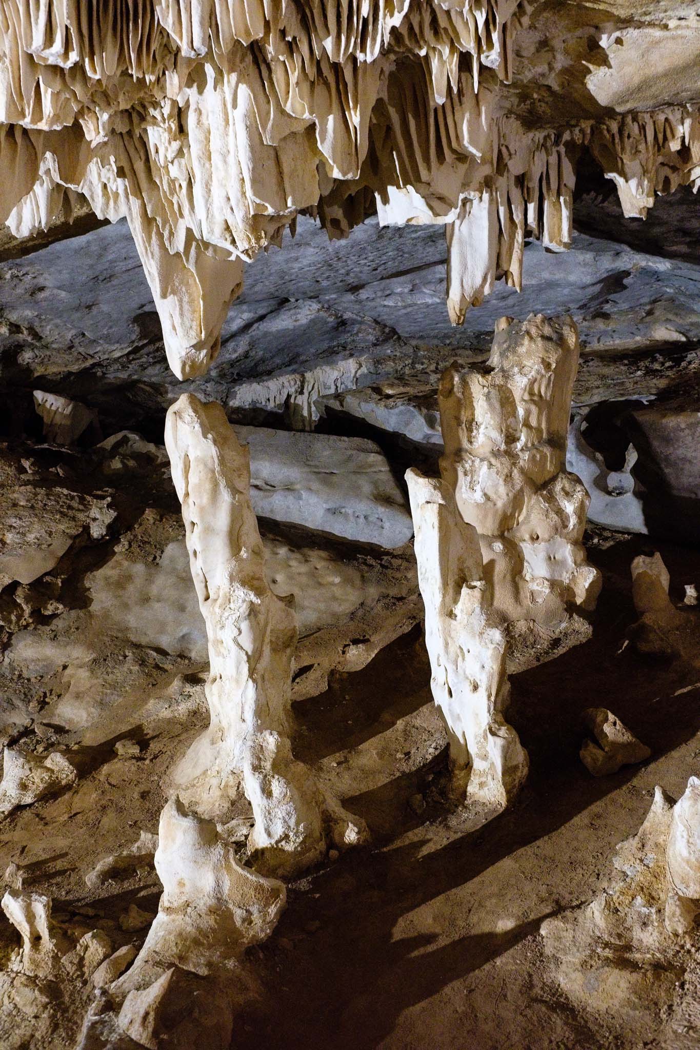
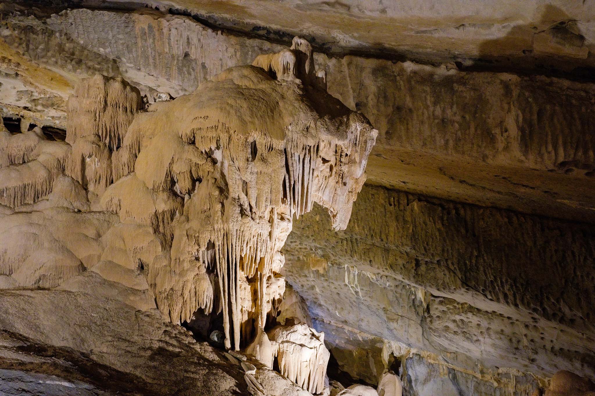
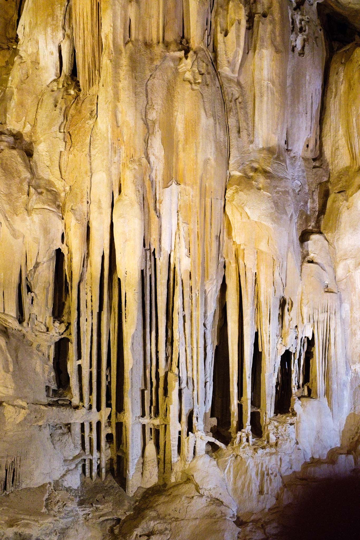
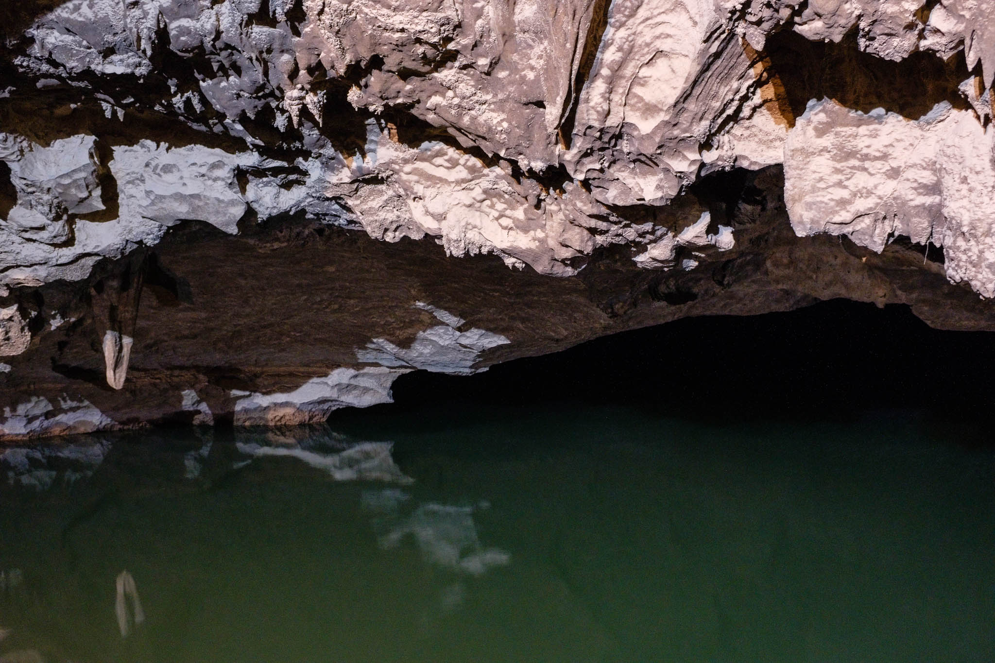
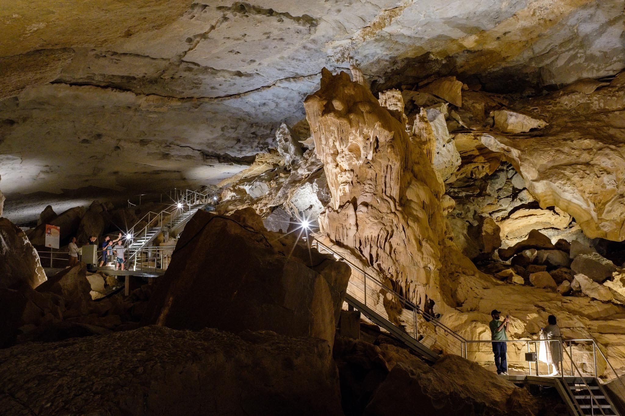
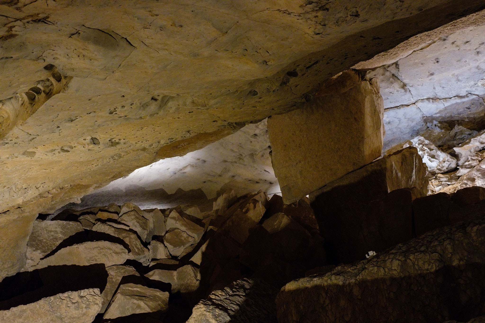
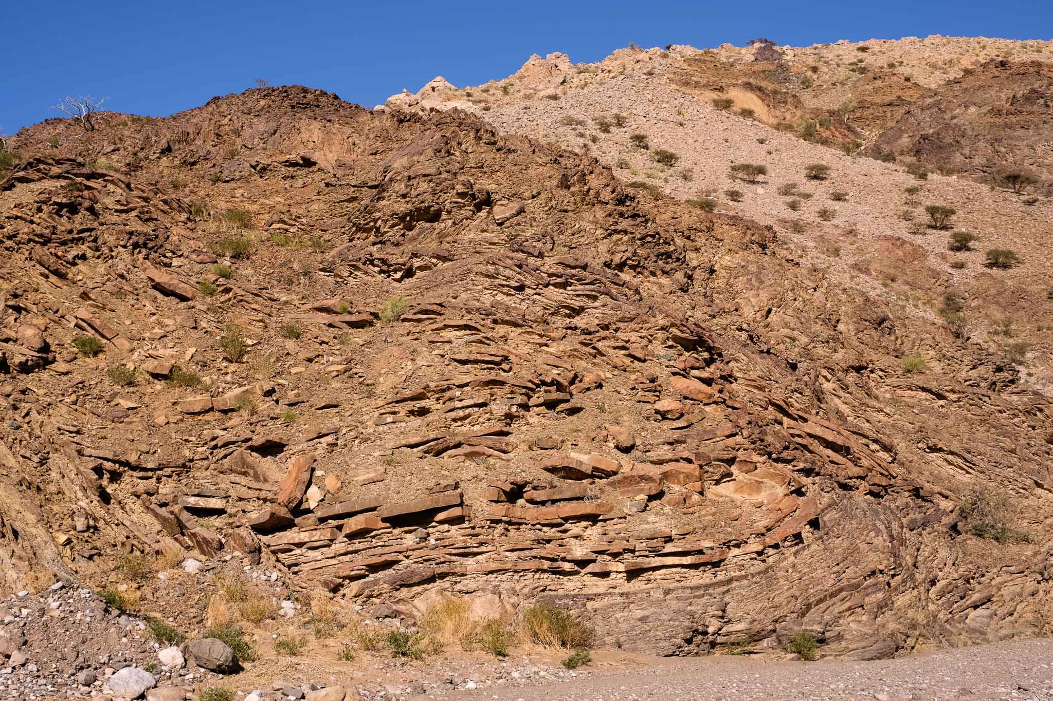
The cave was discovered by locals several hundred years ago, is around 5 km long and is believed to be the longest cave in Oman. It is home to many animal species, including blind cave fish, bats, and others. It is estimated to be over 2 million years old, and has been slowly carved out by water, as it dissolved the limestone rock. Given its sensitive ecosystem, there is a limit to the number of daily visitors, but you can plan and book your ticket online. Once inside the cave, you follow a path which is about 800 m long, and that allows you to admire the many rock formations, including the famous “lion”. The cave complex is much larger than the area open to the public; in fact, the cave extends for several km, including a few lakes; the path takes you close to the first lake, which is framed by complete darkness as it disappears into the distance. 

It is possible to take photos inside the cave, without the use of flash. Light levels are low, but still I managed to come away with good photos, including wide views taken with the phone. Pay attention to the different types of illumination and lighting, which have been chosen to enhance specific features and formations. As a geologist, I enjoyed this visit very much, and highly recommend it. There is also a small geological museum in the main building, which describes the geological history of Oman and the development of the cave, complete with many rock samples. 

General view near the entrance (Samsung S24).
Inside the cave, wide view (Samsung S24).
Small lake.
Stalactites.
Hanging.
From above.
Stalactite.
Trying to connect.
The Lion.
Rock curtain.
Into the deep.
Hall of imagination.
Keystone.

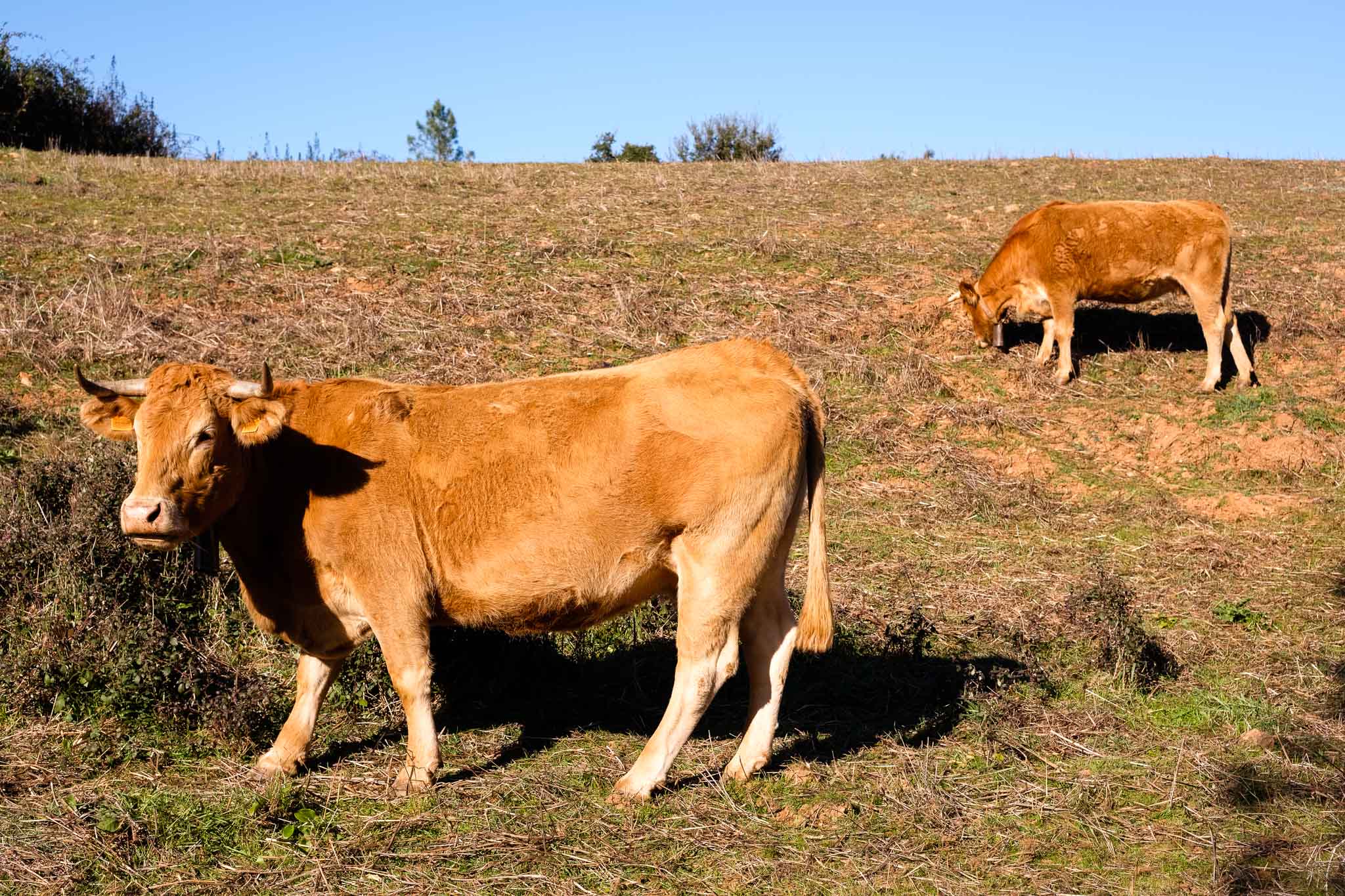
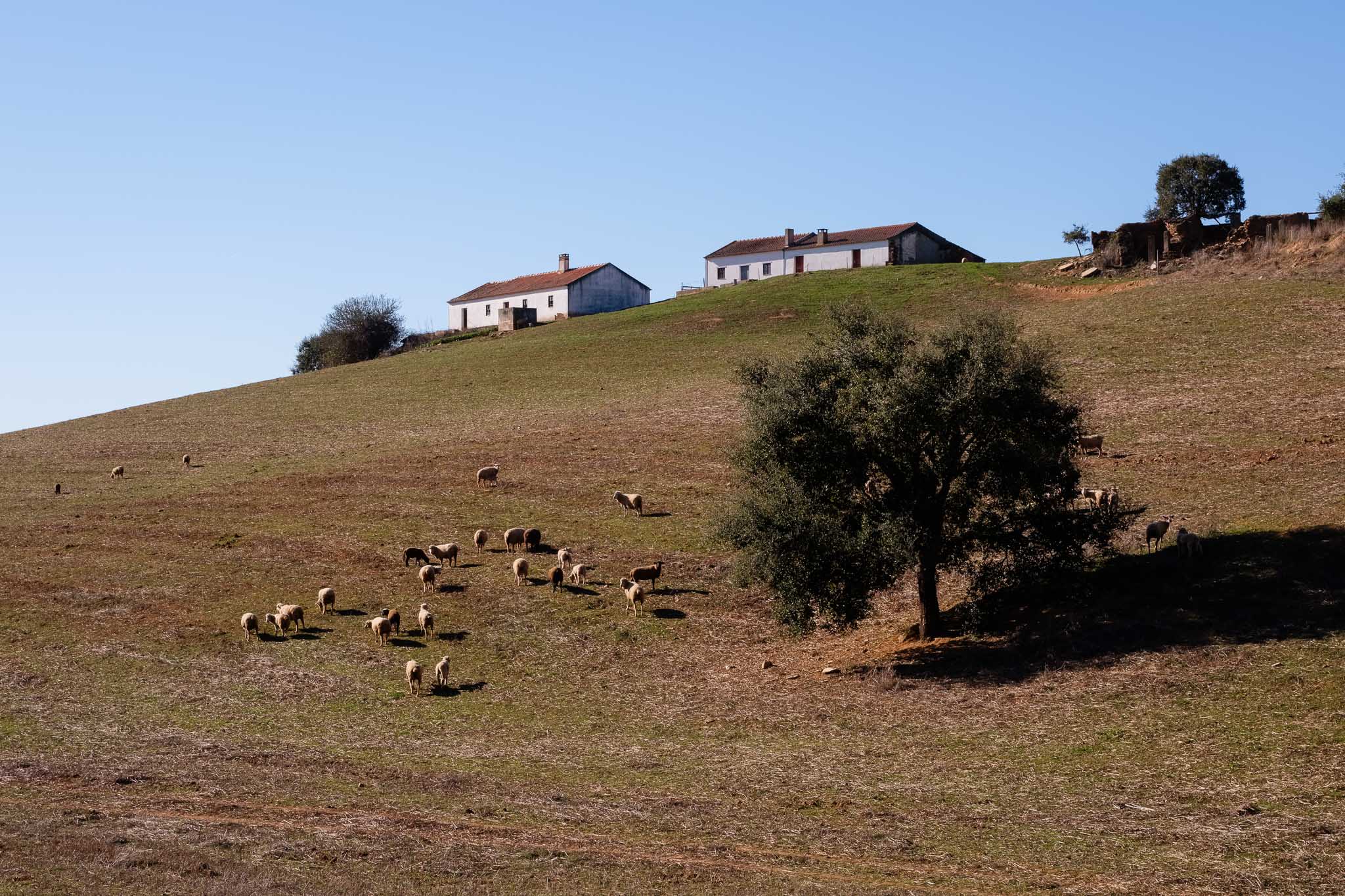
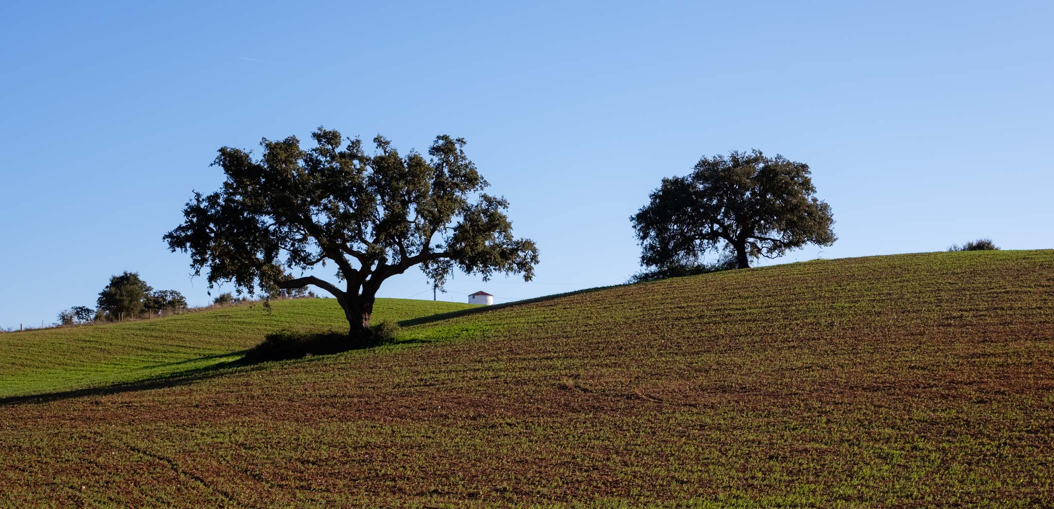
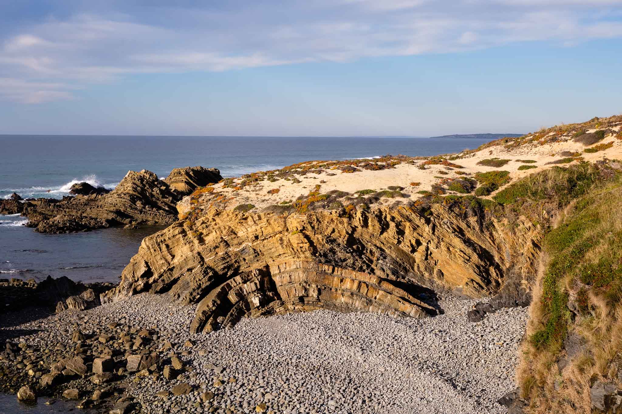
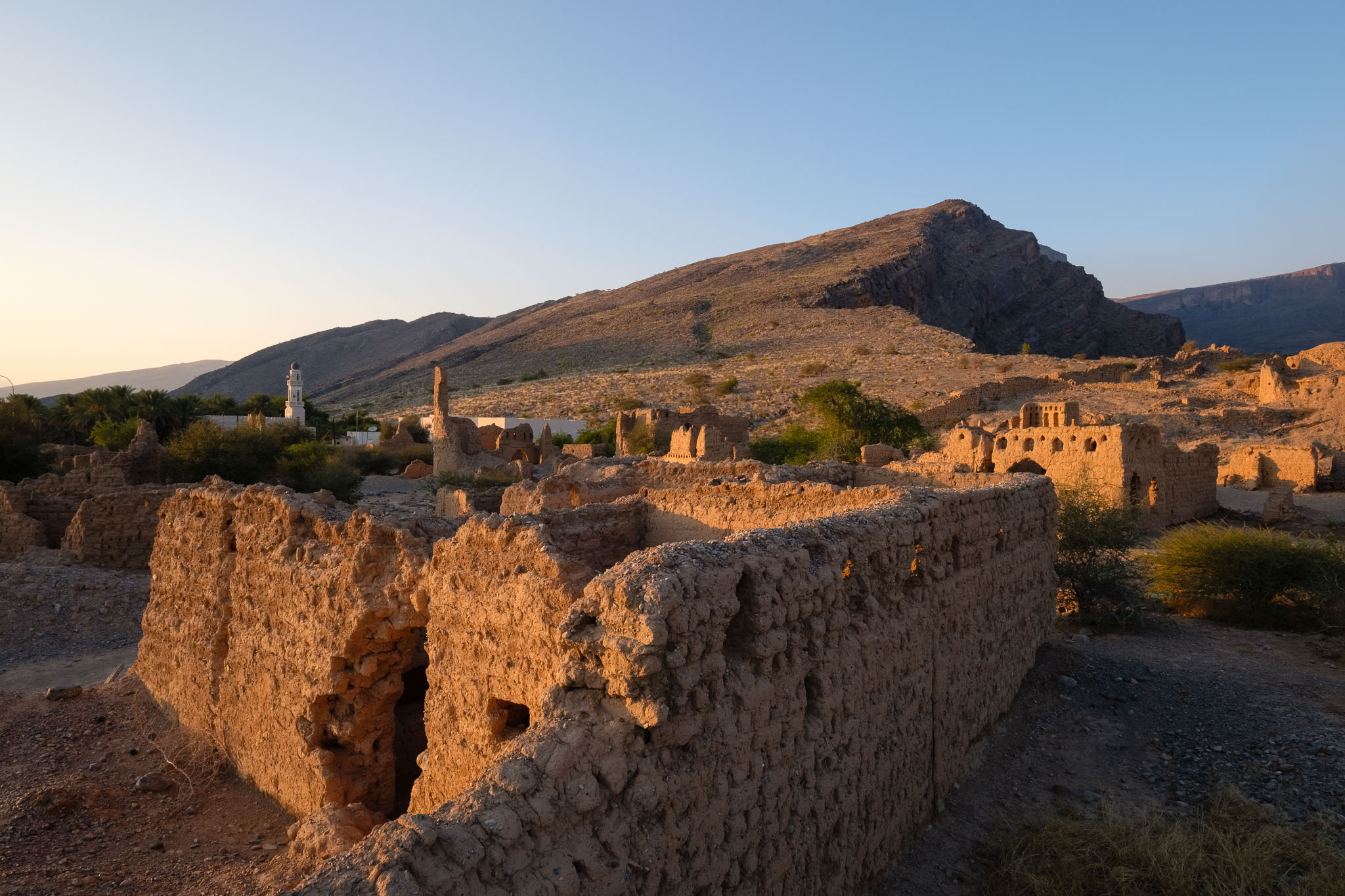
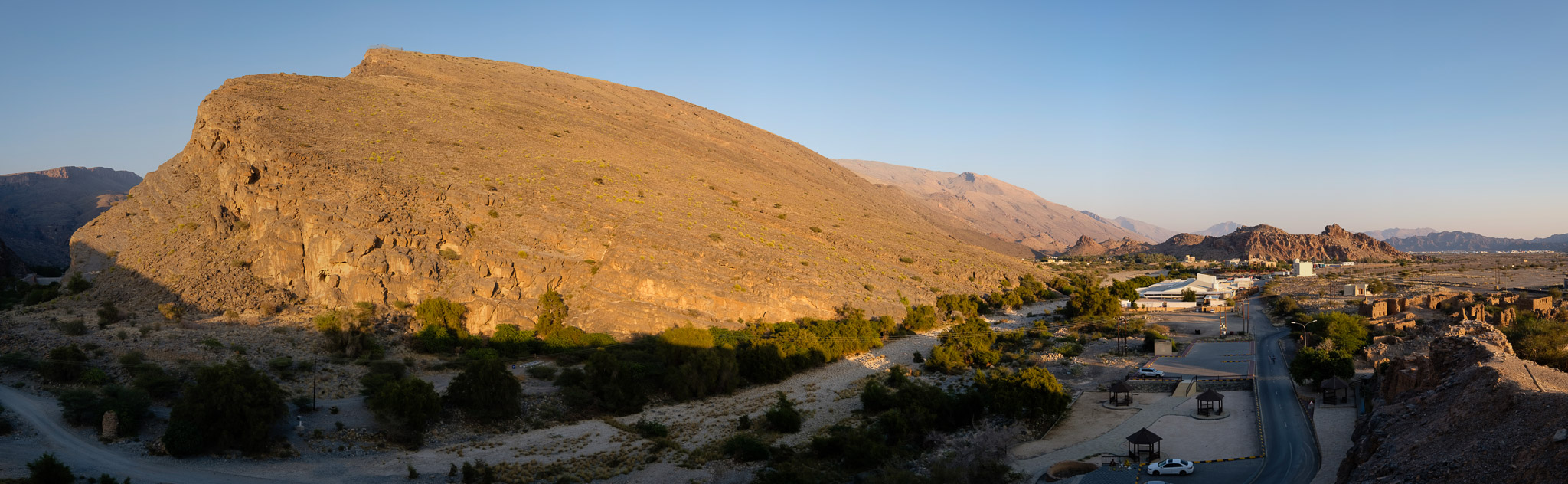
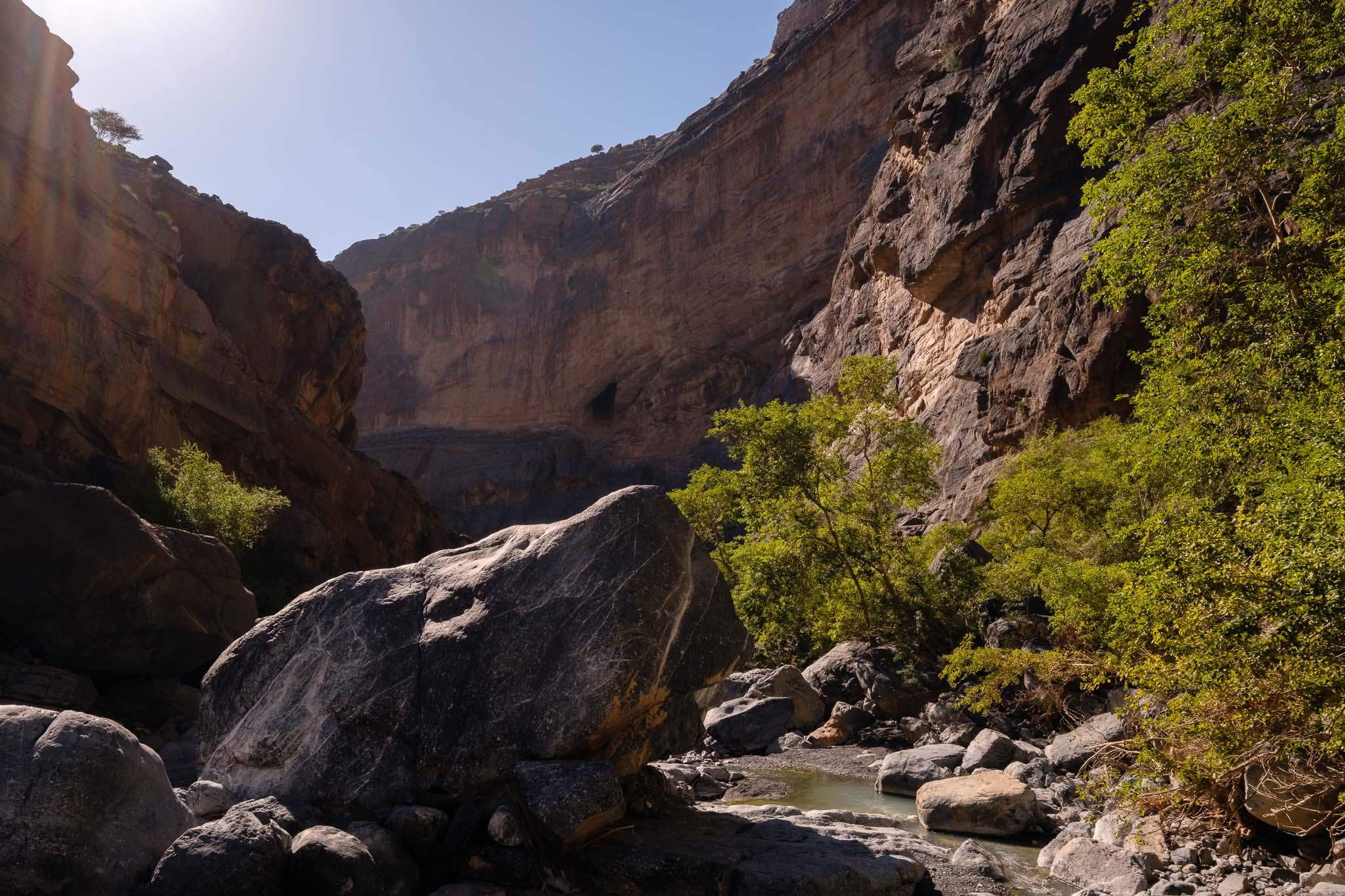
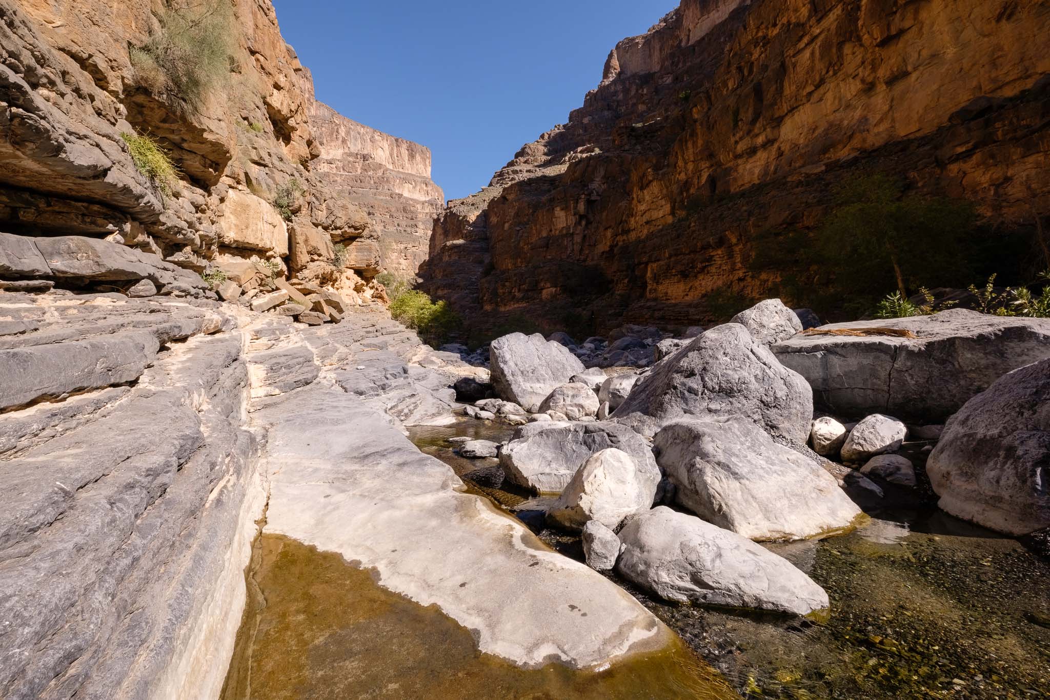
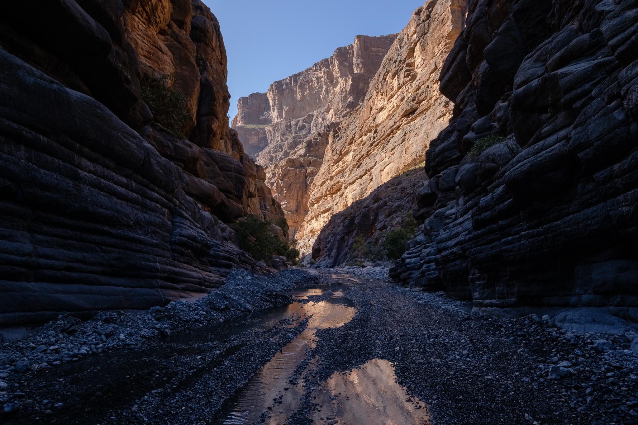
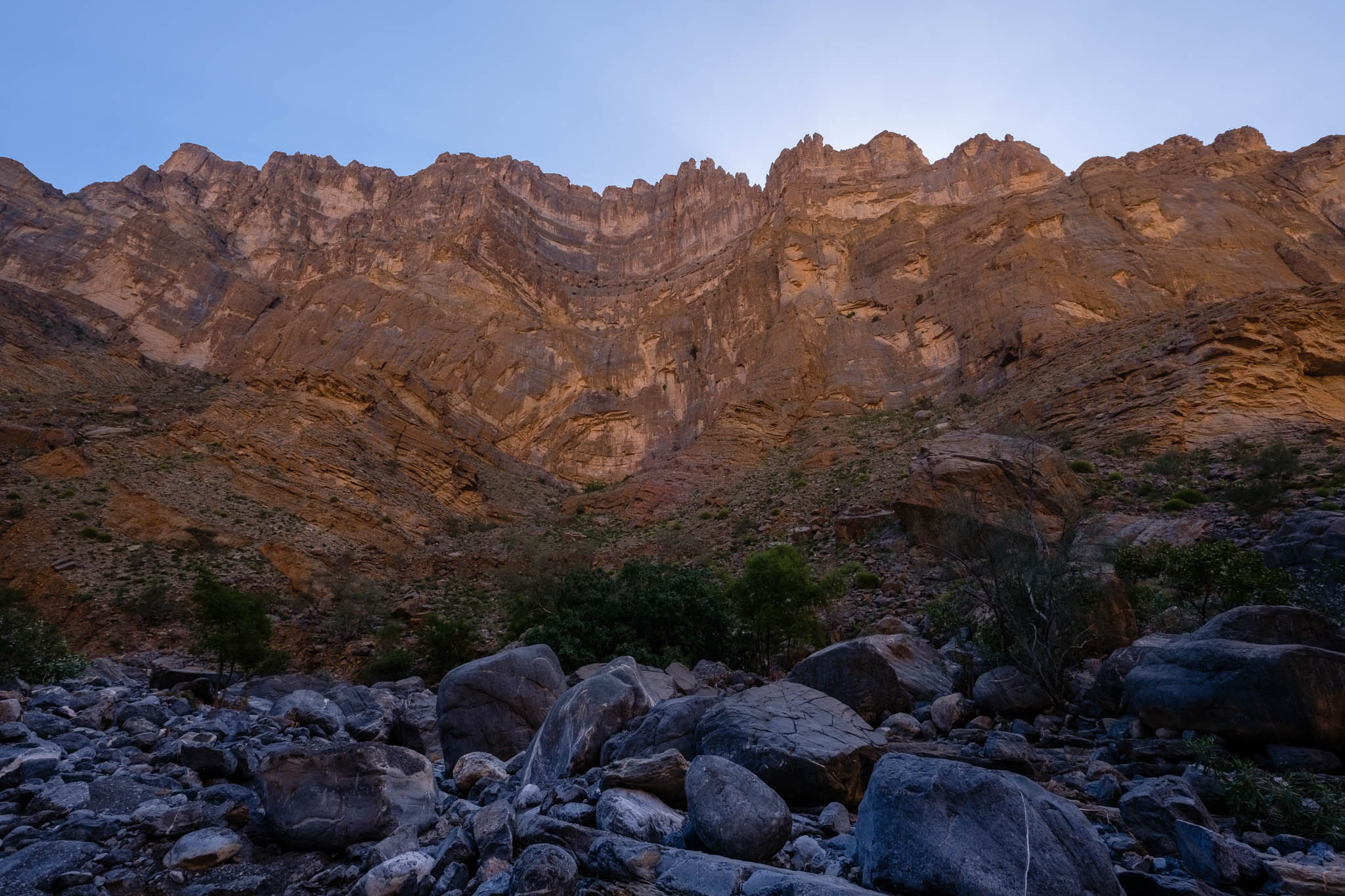
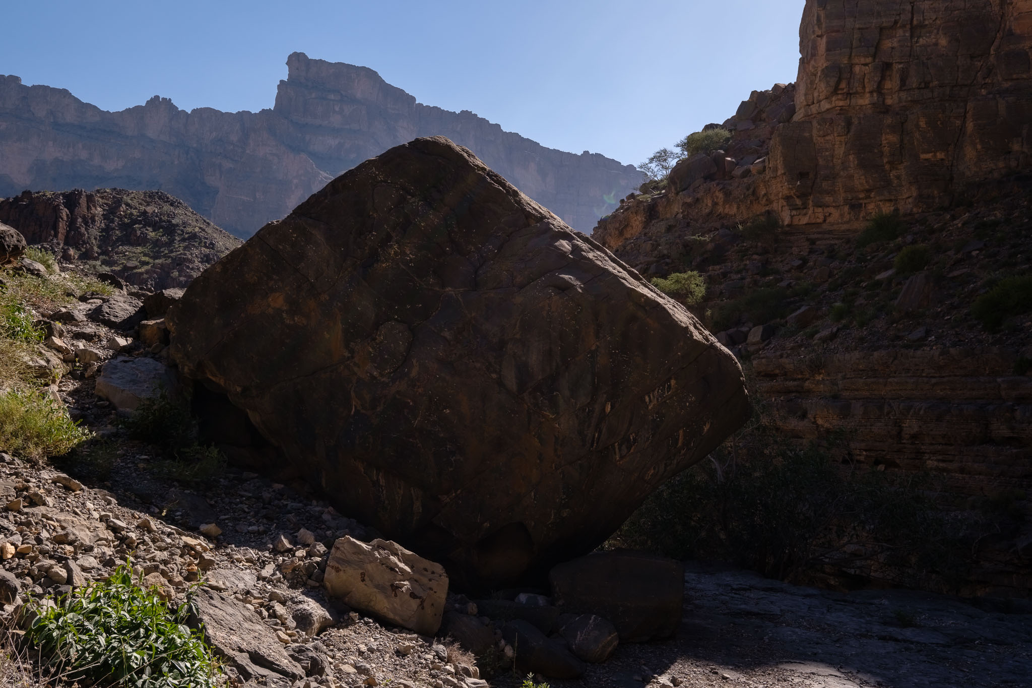
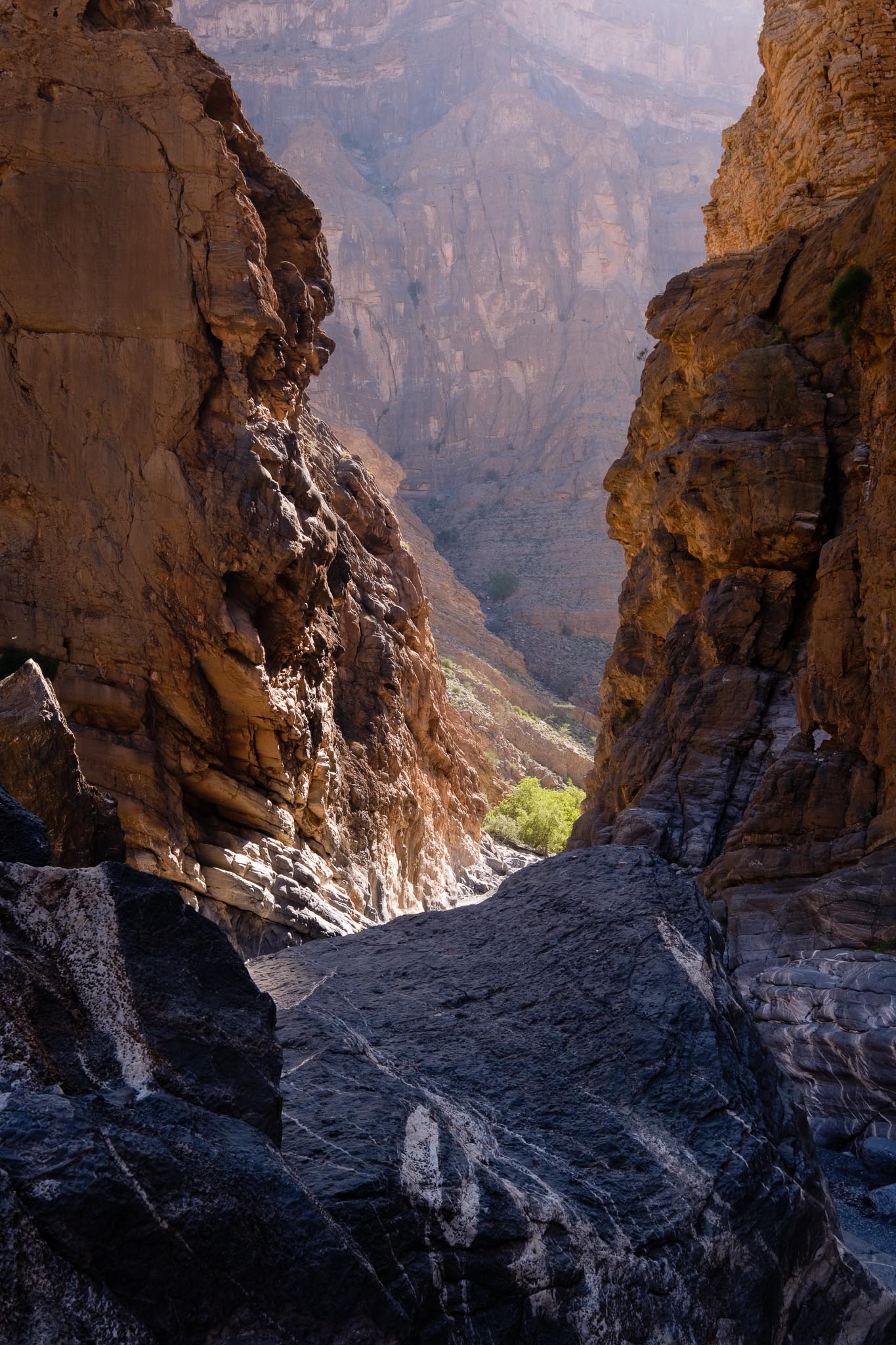
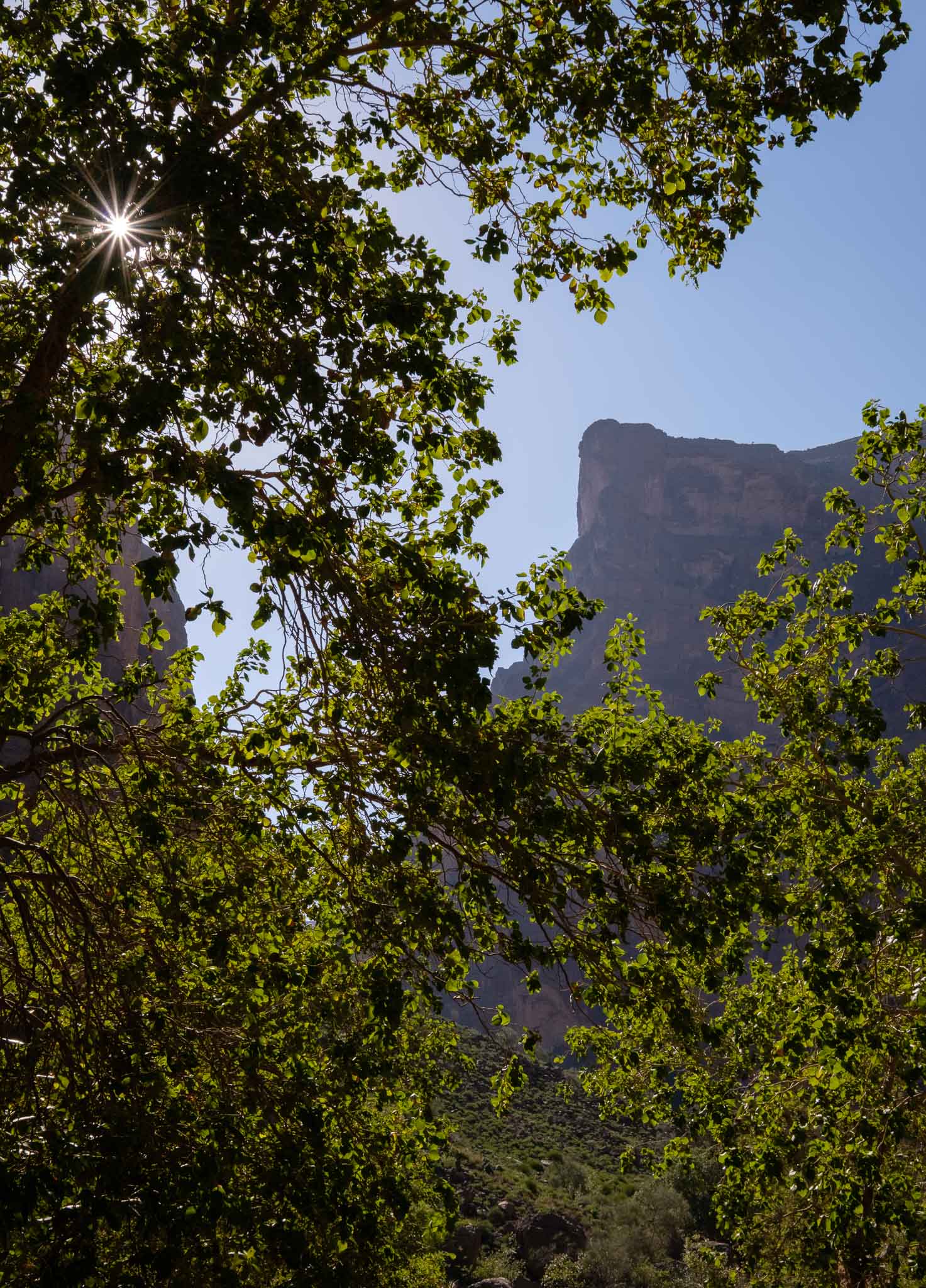
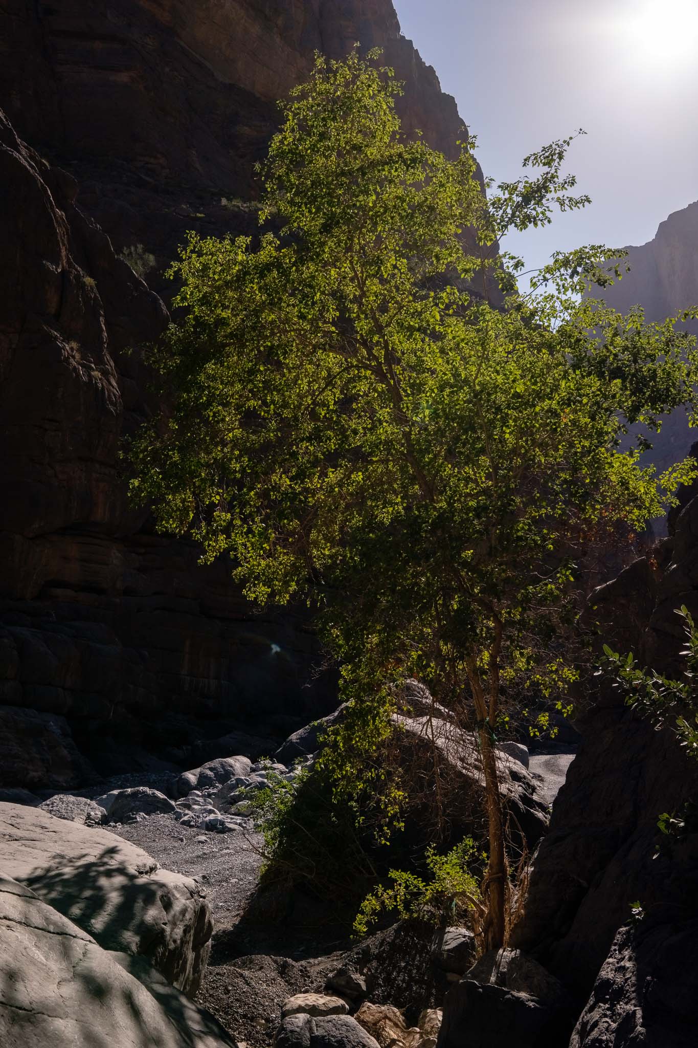
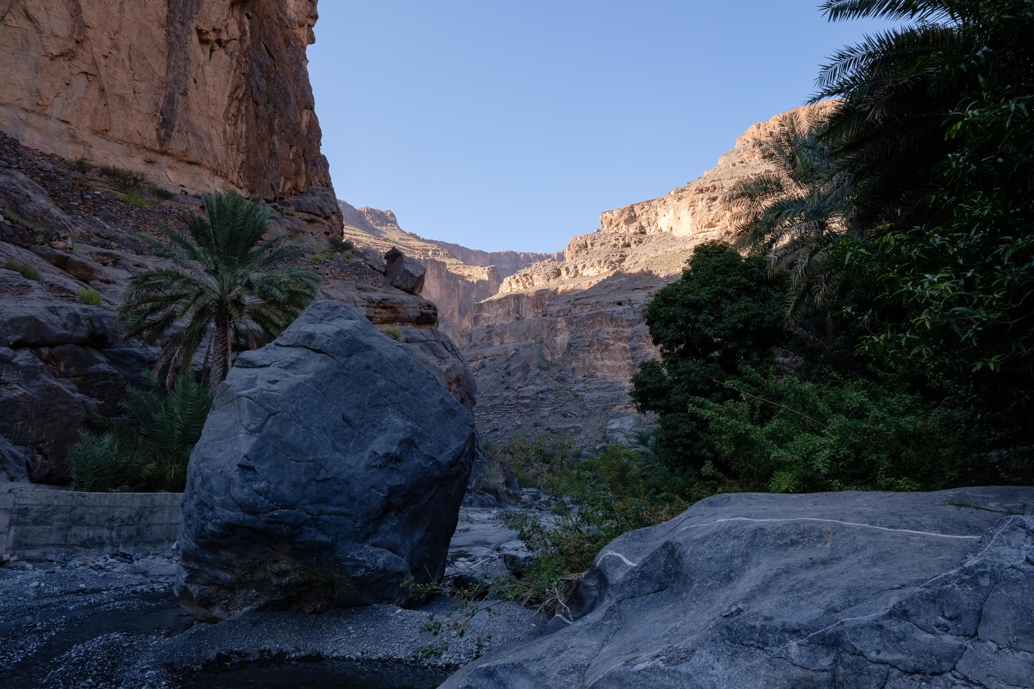
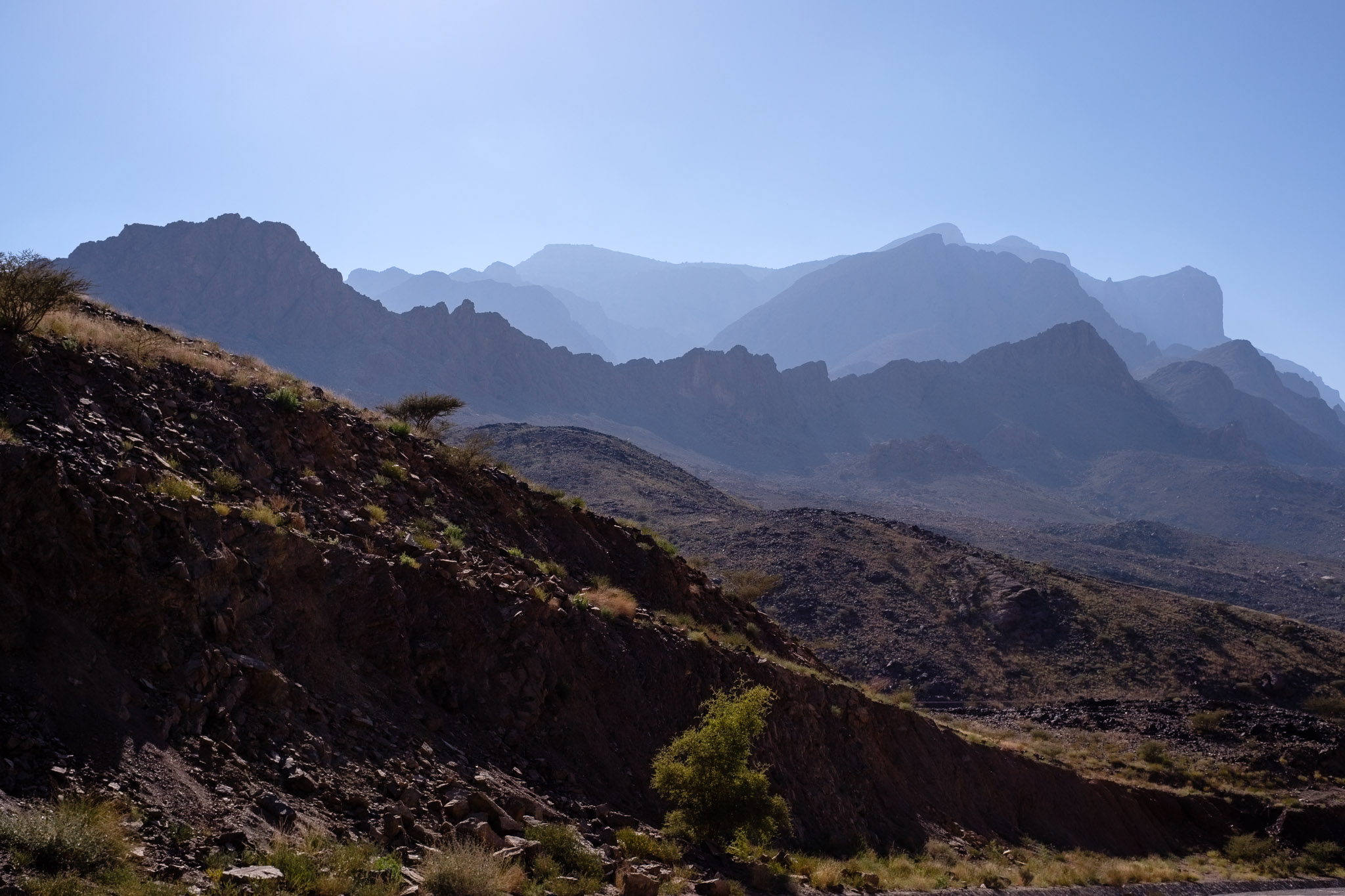
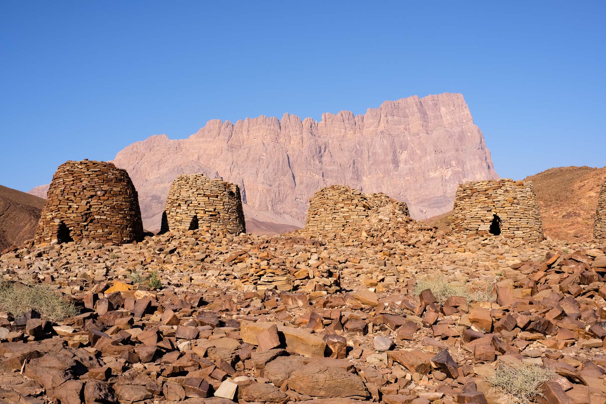
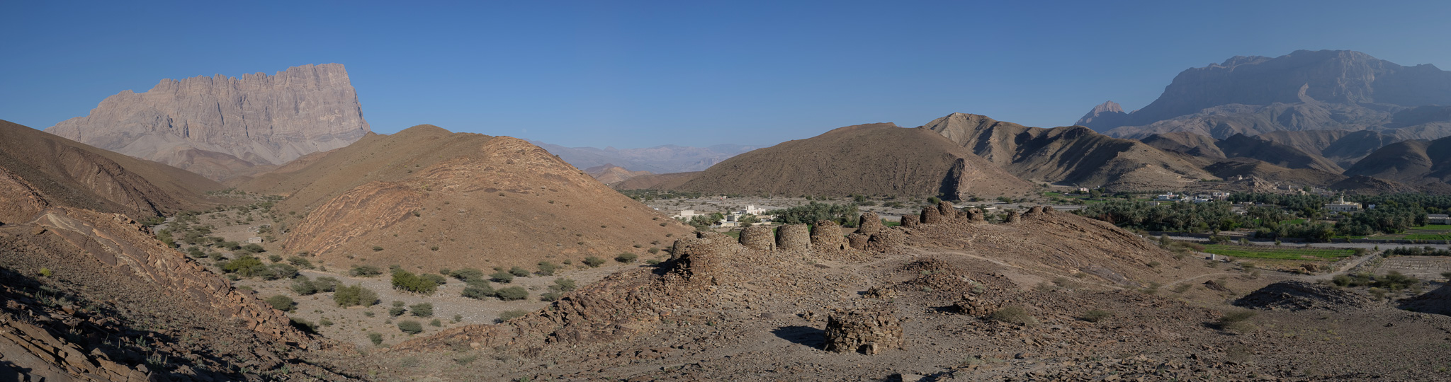
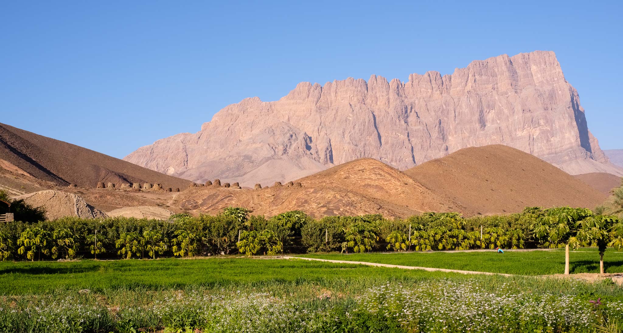
Once the visit was finished, it was time to have lunch, so I found some shade in a nearby wadi and had a nice picnic. The weather in January has been excellent, with lower temperatures and good visibility, without the typical heat haze obscuring the mountains. The plan for the afternoon was to drive to the next stop of my trip, the Al Ayn Beehive Tombs near Jebel Misht. I visited the place several years ago and remember being impressed by the scenery, so I was looking forward to returning.  Jebel Misht is famous for its peculiar shape, rising prominently from the surrounding plain like a ship’s bow. 

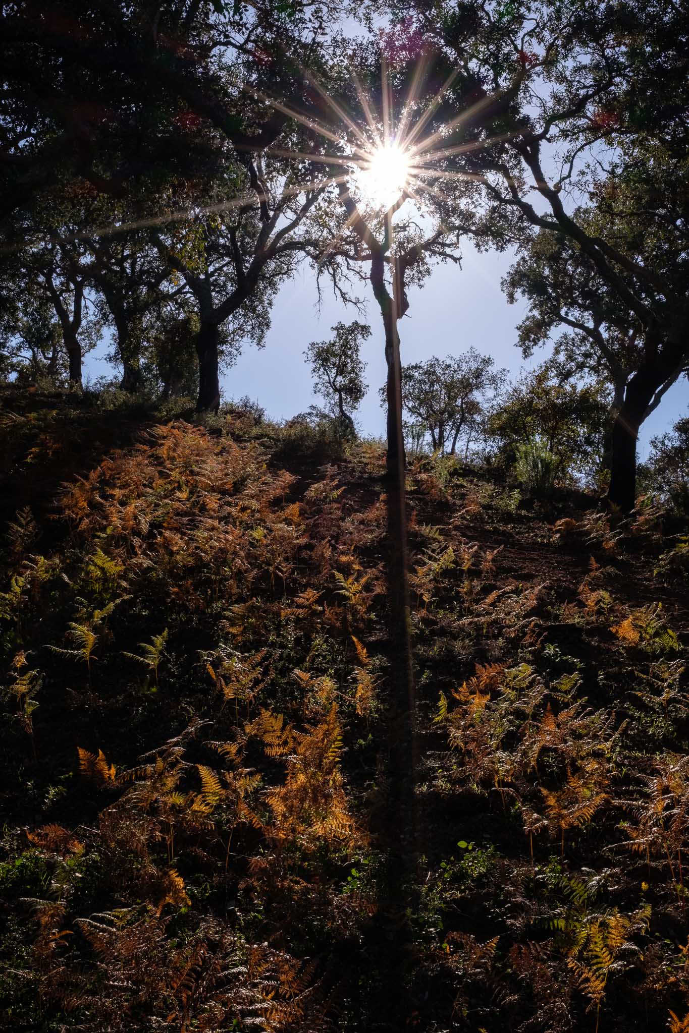
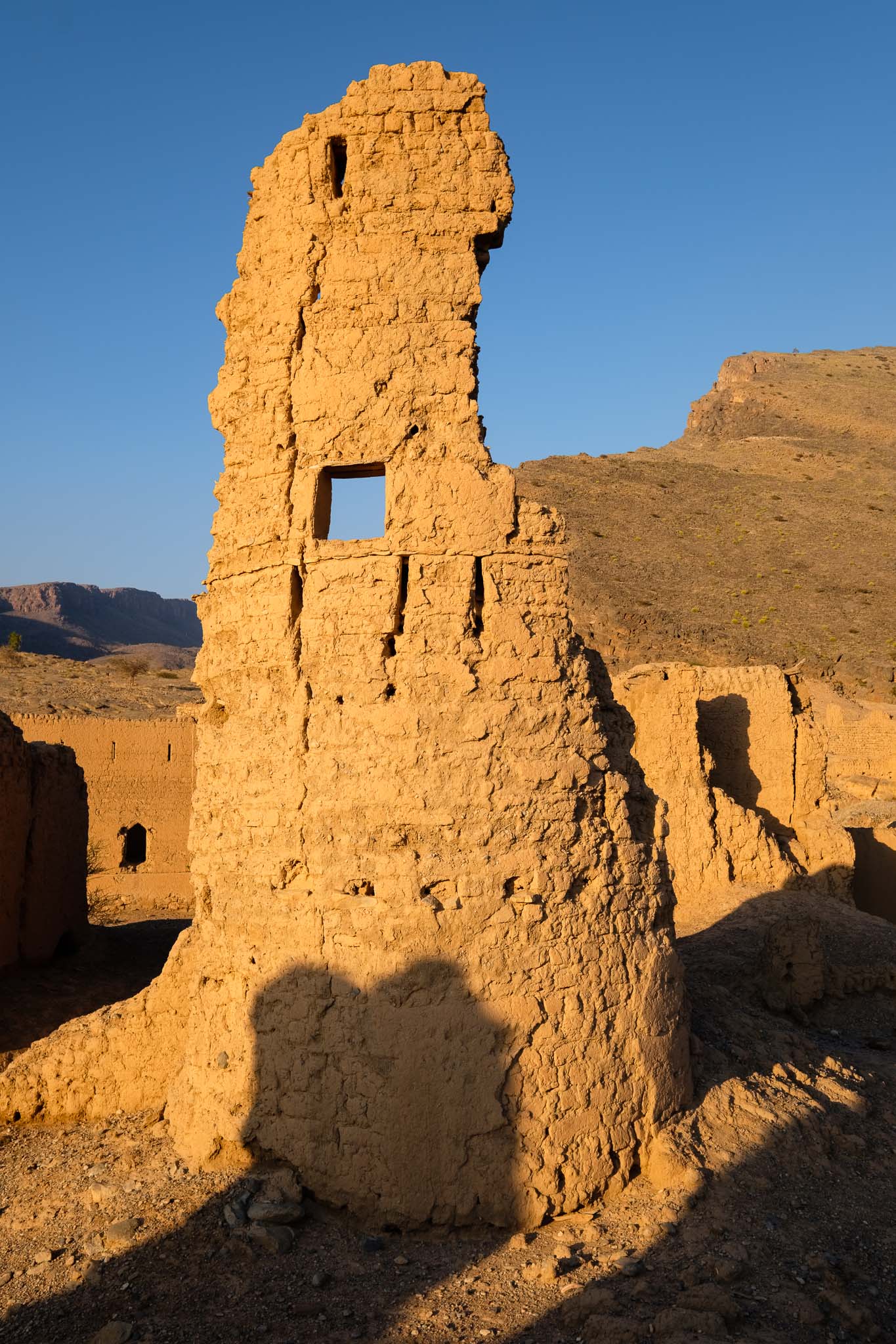
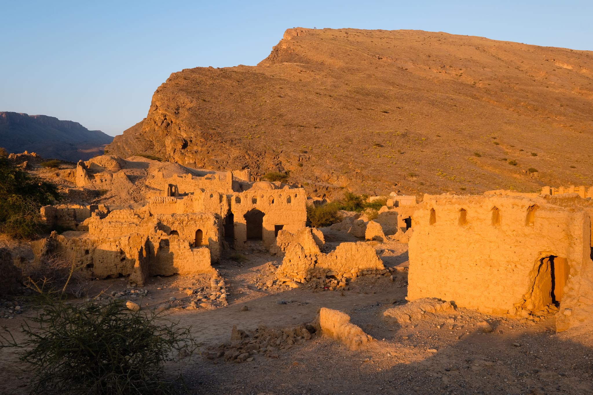
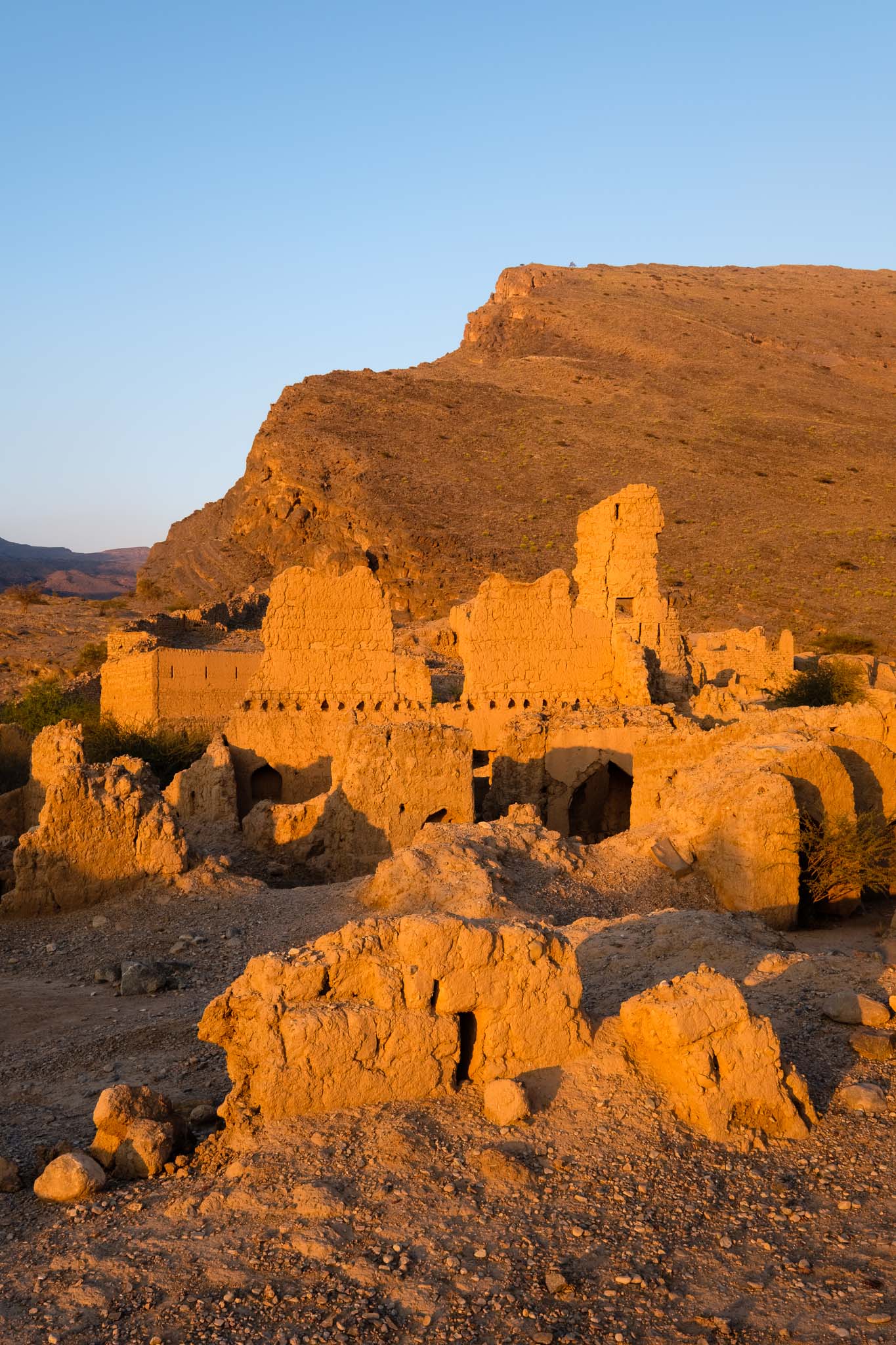
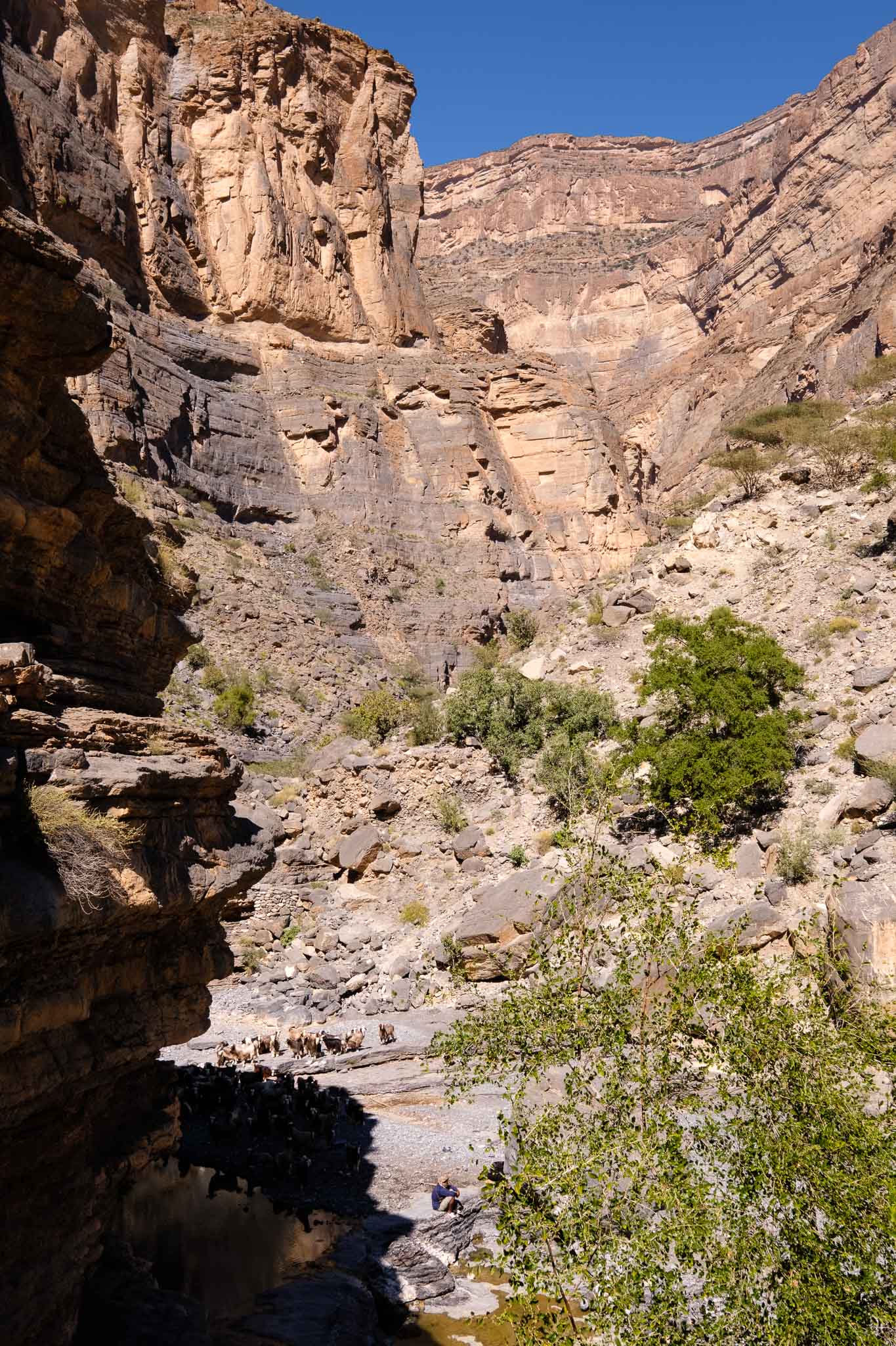
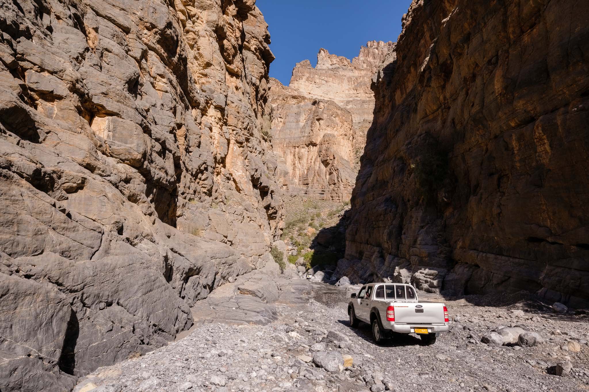
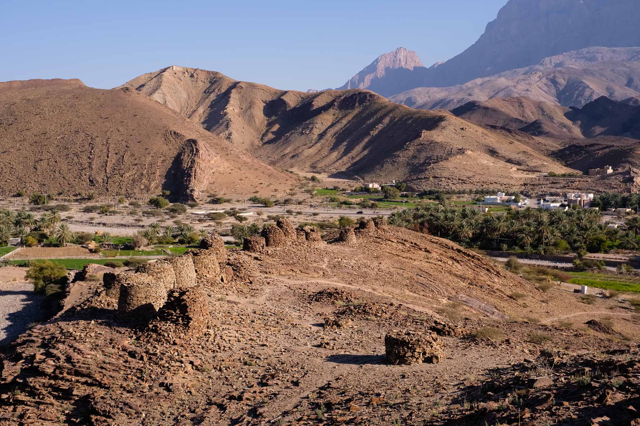
To get there, I chose to drive along a scenic gravel road a few km after Wadi Nakhr, crossing a couple of hills and valleys. I stopped a few times to take some photos and enjoy the landscape and the quietness. After some twists and turns, the road finally descends into a large plain, where it connects with the main blacktop road to Wadi Al Ayn. Soon it is possible to admire Jebel Misht, and after a while you will see the beehive tombs about 200m from the road. These are located along the ridge of a hill, with Jebel Misht as backdrop. This archaeological site was declared World Heritage by UNESCO in 1988, and it has been dated to the 3rd millenium BC. Copper and stone (diorite) have been extracted from the surrounding mountains for thousands of years, with evidence of trade with other regions. 

Receding mountains.
Contorted.
Watch tower.
Jebel Misht panorama.

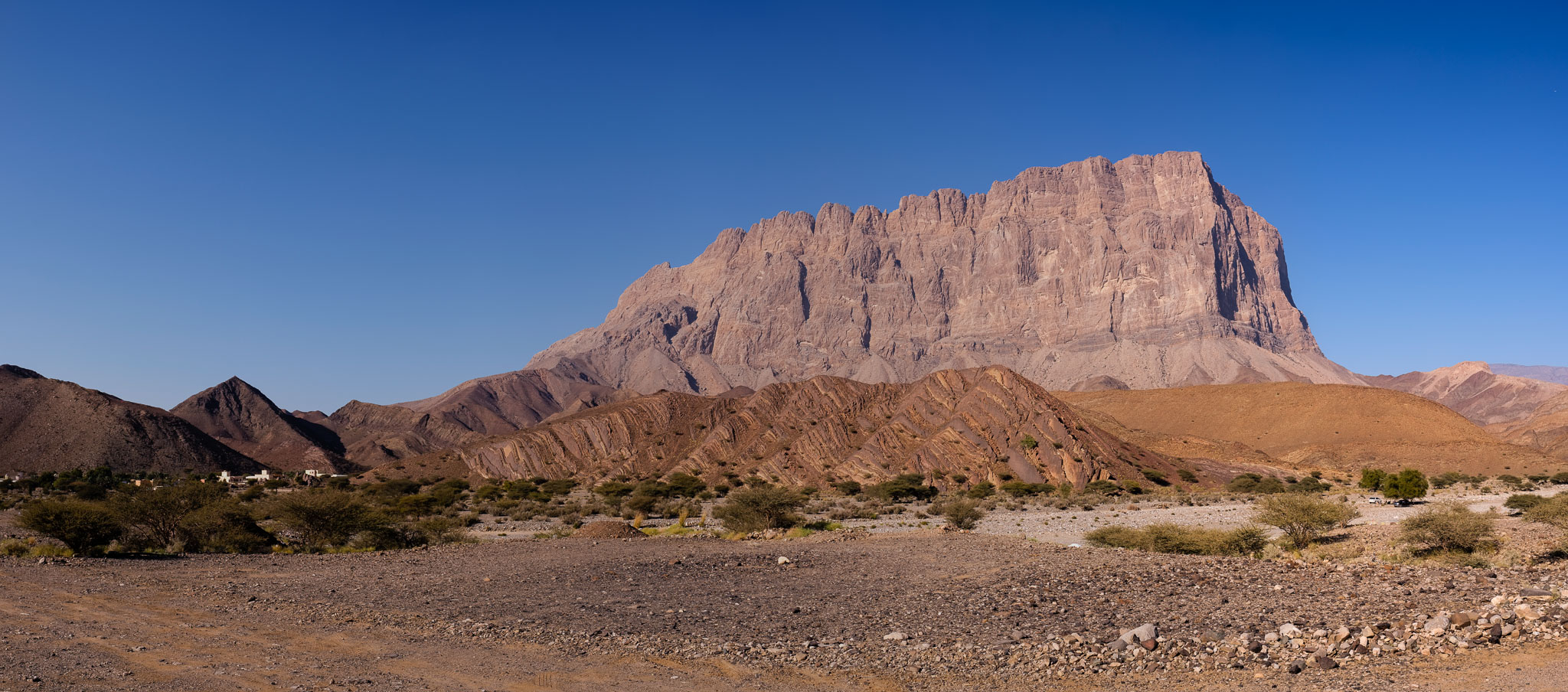
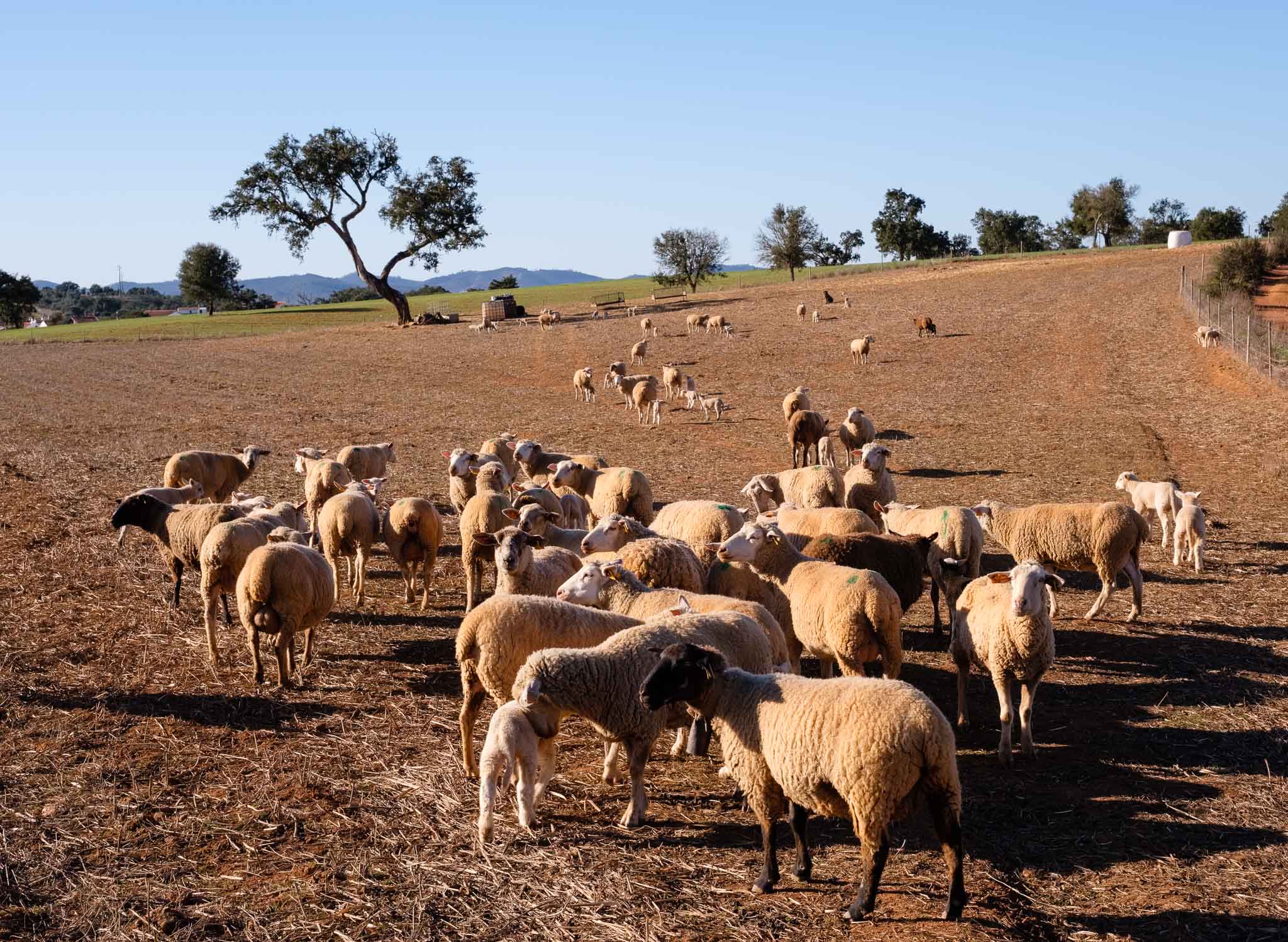
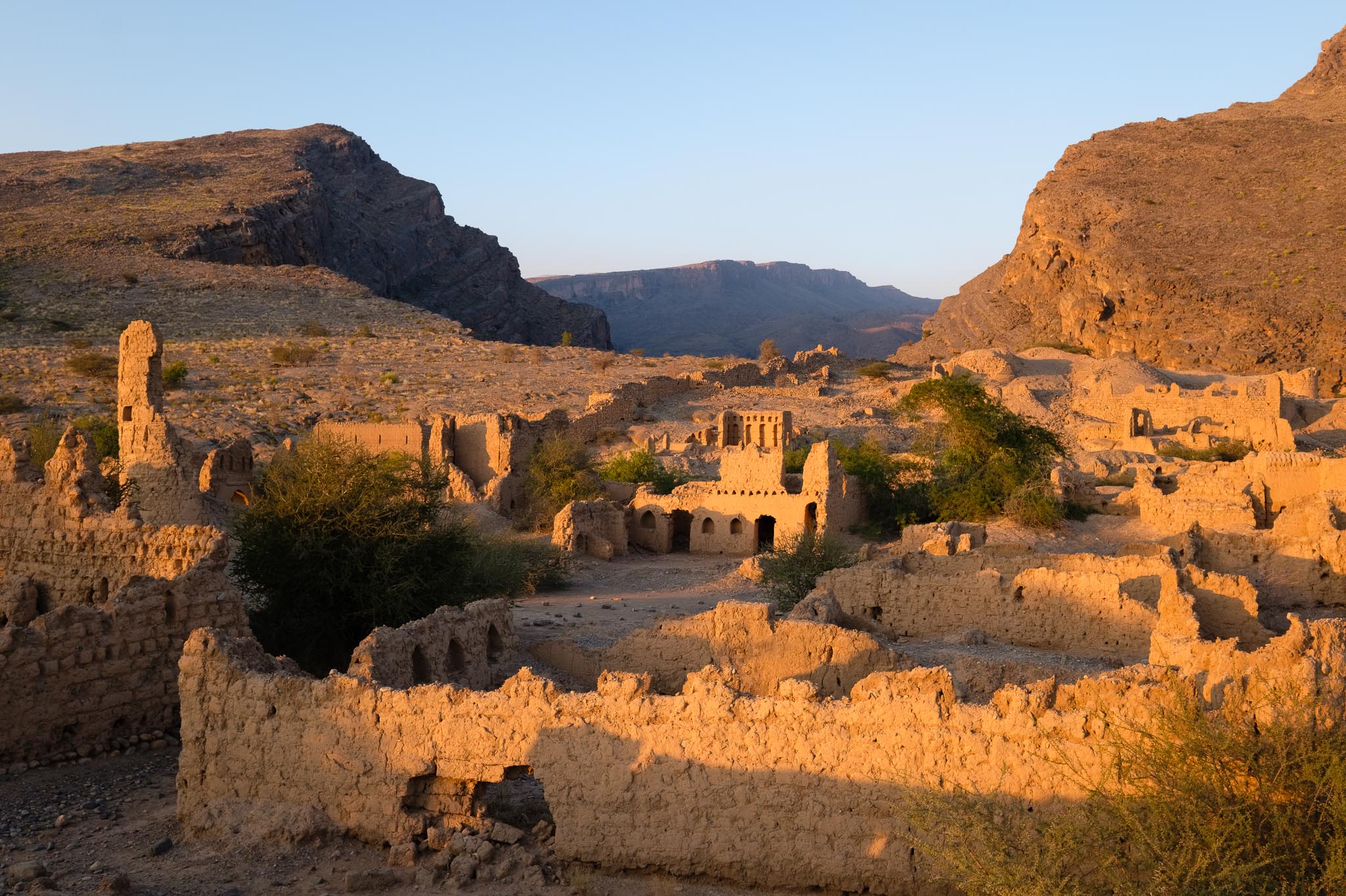
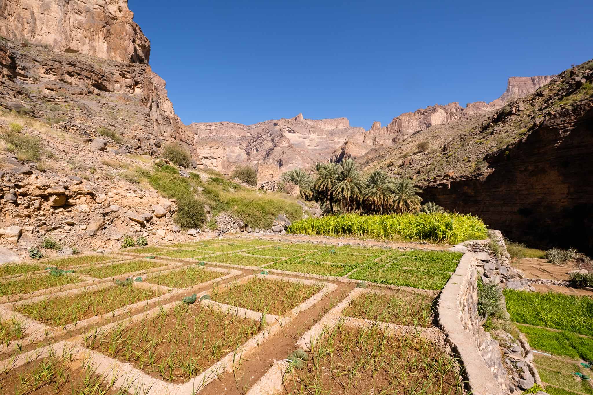
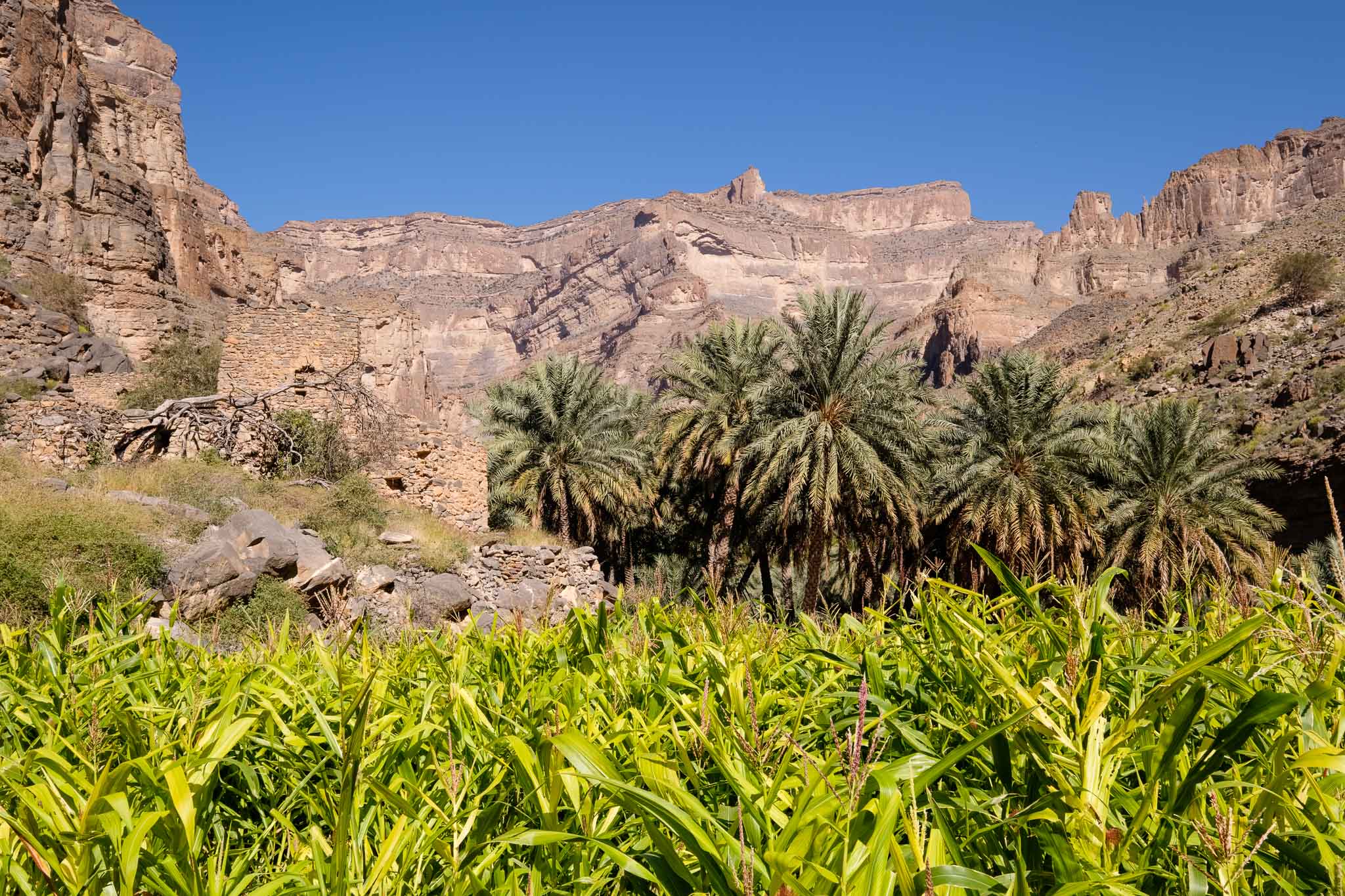
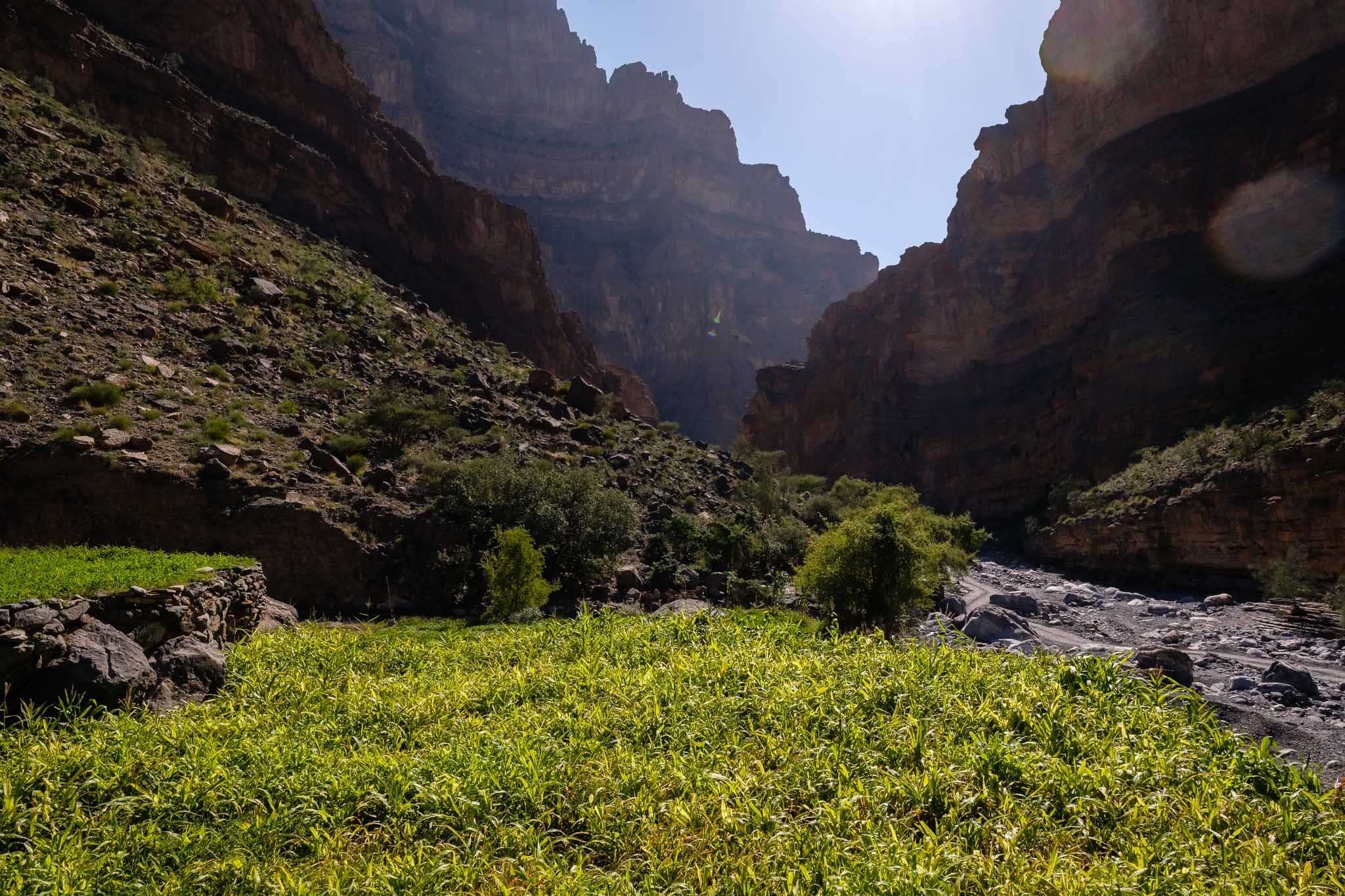
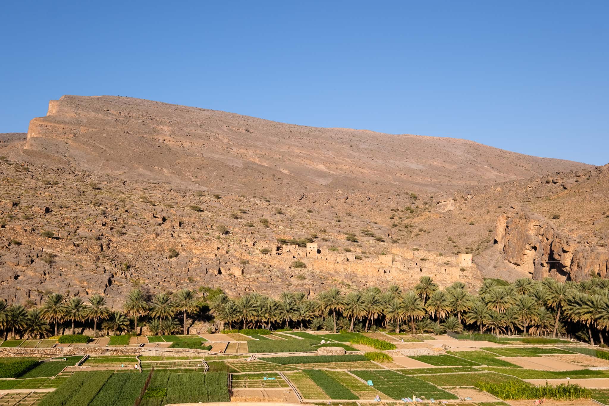
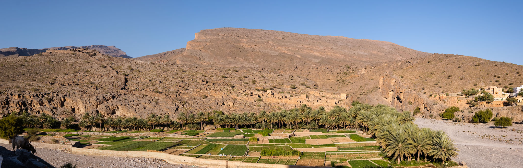
I parked the car in the wadi and made my way uphill towards the tombs. The scenery is impressive, and I walked around for quite some time, feeling transported back in time. Today, we can see the nearby small village and the green farms; probably the setting was not very different 5,000 years ago, with settlements in the valley, and with more abundant rain? One thing I am sure of is that our ancestors already admired Jebel Misht, as much as we do today. 

Beehive tombs and Jebel Misht.
The tombs and the surrounding landscape.
Panoramic view.
Scenery.
Roadside panorama.

All photos in this article were made with my Fujifilm X-T5 camera and Voigtlander X 27mm f/2 lens, complemented with my phone’s wide-angle lens module (inside the cave). I also made many overlapping images with the purpose of assembling them in panoramas later. 

Back to Southwest Portugal’s Coast for Christmas

In December 2024 I took a couple of weeks vacation and went to Portugal. I had the opportunity to spend some time with the entire family, which is always good. I also spent a few days in Longueira, in the SW coast of Alentejo; the weather was cold but sunny, so excellent for trekking. Thus, one fine morning we decided to walk along the Nossa Senhora das Neves trail, which is part of the vast Rota Vicentina network.

This is my wife´s favorite trail, and indeed it crosses a beautiful rural landscape. I have already written several articles about this trail, so this time I will only share a few photos.

Grazing.
Along the trail.
Sun burst.
Sheep.
Rural landscape.

Another photo walk I did was along the coast, between Almograve beach and Lapa de Pombas fishing harbor. The late December light near sunset was wonderful, bathing the coastline in golden tones. The low tide was a bonus, revealing the spectacular geology of the area. Almograve is famous for its sunset, and it is easy to see why.

Local cat at Lapa de Pombas enjoying the sun.
Folded rock formations.
Golden light.
Coastal dunes.
Almograve sunset.
The magic of sunset.

It was great to spend some time back home, and be able to take a few photo walks in the southwest.

The Tanuf ruins, Oman

The village of Tanuf is located about halfway between Nizwa and Bahla. The name is instantly recognizable in Oman due to the drinking water brand that is bottled nearby, sourced from the springs in Wadi Tanuf. However, one of the main attractions of Tanuf are the ruins of the old village, often referred to as “Tanuf Castle Ruins”. These are easy to get to and are visible from the main road. Located at the foot of the Jebel Akhdar mountains, they seem to guard the entrance to Wadi Tanuf, which you can also explore further if you have a 4WD vehicle. 

This old village comprises many mudbrick buildings and houses, and was inhabited until the Jebel Akhdar war of the 1950’s. This war lasted between 1954 and 1959 and opposed the Imamate of Oman (interior of the country) to the Sultanate of Muscat and Oman (coastal area). The Jebel Akhdar Mountain, including Tanuf, witnessed intense fighting between the two parties, and these ruins are a stark reminder of the conflict. 

The best time to visit the ruins is close to sunset, when the buildings and the southern mountain face are bathed in golden light. Walking among these old houses and the narrow streets, feels like a window into the past, to a time when modern day luxuries were absent. It is also better to visit during the winter months, when the temperature is lower, and the air is crisper, allowing for a good visibility of the surrounding landscape. I stopped in Tanuf coming back from Wadi Nakr, and spent almost 1 hour there, just walking around and taking photos under the wonderful light. 

Sentinel.
Wall.
Overview of old village.
Framed.
Windows.
Still standing.
Fading light.
Mountain color.
General view.
Golden light.
Jebel panorama.

Wadi Nakhr – inside the Grand Canyon of Oman

The so-called Grand Canyon of Oman is in Jebel Shams, the highest mountain in the country, reaching 3,000 m above sea-level. The canyon is a 1,000 m deep gorge cut into the heart of the mountain, and comprises a couple of wadis, namely Wadi Nakhr and Wadi Ghul. There are several ways to explore the area, including the famous Balcony Walk, a trail in altitude that follows the rim of the canyon, and that affords spectacular views from above. This time I decided to walk in the bottom of the canyon, along the wadi itself, which provides a completely different experience. I did this trek in early December, and I have enjoyed every minute of it; there was plenty of running water, and the cooler temperature was a bonus. 

As with many places in Oman, the Jebel Shams area has become very popular with tourists, but Wadi Nakhr is still relatively quiet. The total distance is about 12 km (round trip), which can also be made in a 4WD vehicle. I prefer to walk, so I recommend leaving the car at the entrance of the wadi, and then simply follow the gravel road. Right at the entrance, there is a picturesque old village; the houses are now abandoned, but the agricultural fields are still well maintained. It is worth it to meander through the palm trees and old mudbrick buildings. After that, it is a leisurely walk, with plenty of small pools, running water, and numerous large boulders; these are a strong reminder of the power of flashfloods that occur periodically during heavy rain. As always, if rain is forecasted, do not venture into the wadi. 

After a couple of km, the canyon starts to narrow down, its walls become taller, and you can fully appreciate the immense scale of the gorge. You will be literally walking inside the mountain range, with all the rock layers telling a geologic story that spans hundreds of millions of years. For most of the way, the canyon will be in the shade, with the occasional sunny section; this makes for an interesting interplay of light, but it can be challenging for photography. I decided to preserve detail in the highlights, thus underexposing the shadows; later I compensated for that when developing the imaging files. For this trip I chose to bring a wide-angle zoom lens, to be able to include the wadi, canyon walls, and sky in the framing. 

Into the canyon.
Small pools.
Light and dark.
Wall.

The trail ends at the head of the canyon, after a small village with a few houses and agricultural terraces. The crisp December air allows an excellent view of the mountain peaks higher up. A few villagers take the opportunity to sell their local products to visitors; colorful carpets weaved from goat’s wool and honey are common. I also happened upon a group of people that were painting the magnificent surrounding landscape. I had my picnic lunch nearby and rested for a while. From here, there is a trail path that leads to the top of the mountain, but it is only for the truly well fit. Perhaps another day… 

Green fields.
Mountain scenery.
Small mosque.
Goats.
Rock pyramid.
Carpets.
Shelter.
Green terrace.
Narrow path.

After exploring the area for a little while longer, I headed back, walking in complete tranquility. The prevailing silence was only disturbed by the wind rushing through the trees and by the running water. In the distant cliffs, you can spot some groups of goats climbing the challenging heights with ease. I increased my pace because I wanted to be out of the wadi before sunset, to make the most of the light on the village at the entrance. My plan was also to stop on the way to Muscat, to visit the old village of Tanuf, but I will write about that in a different piece.  

Edge.
Pebble road.
Against the light.
Transported.
Old village of Nakhr.
Panorama.