Route 15 – another walk in the Rota Vicentina near Odeceixe

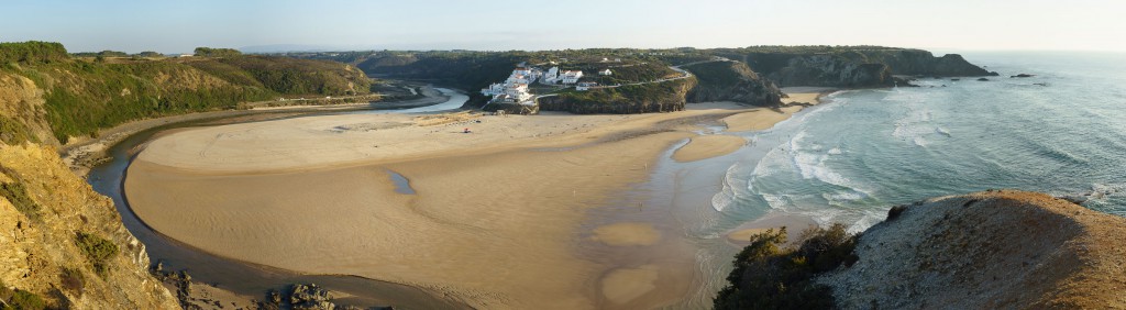
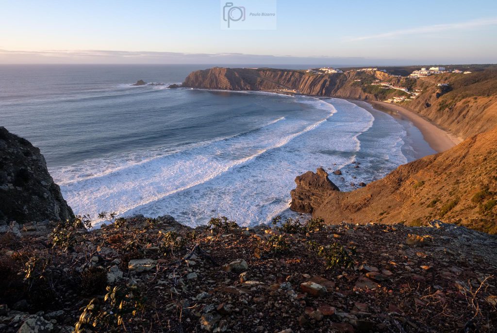
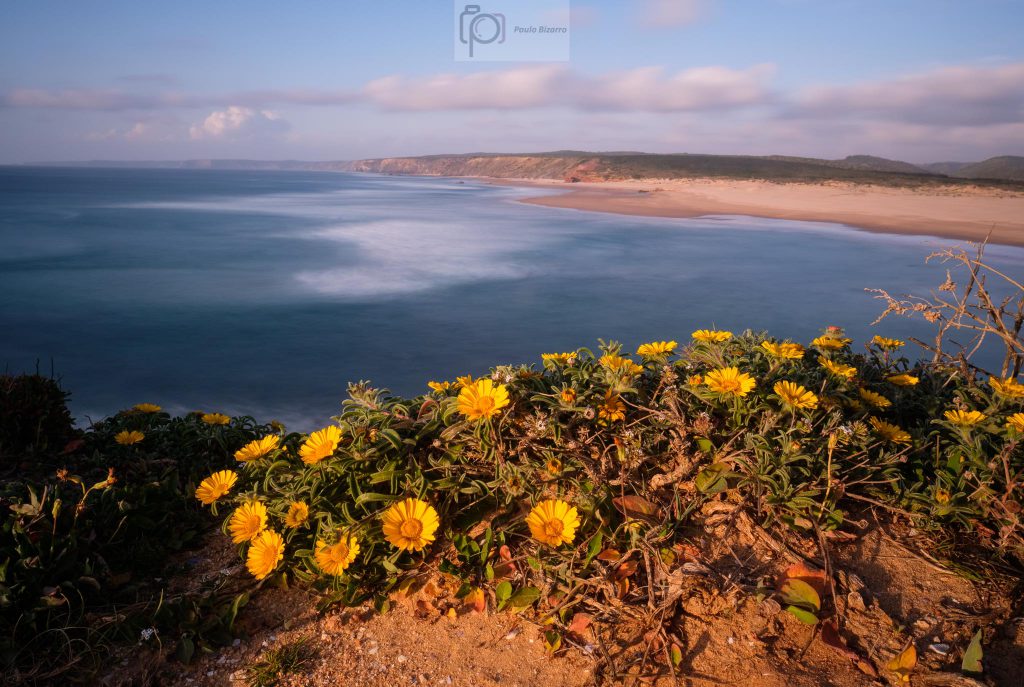
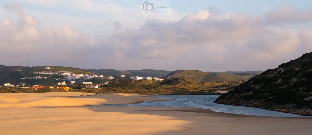
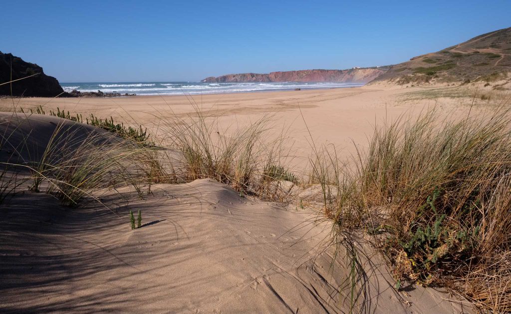
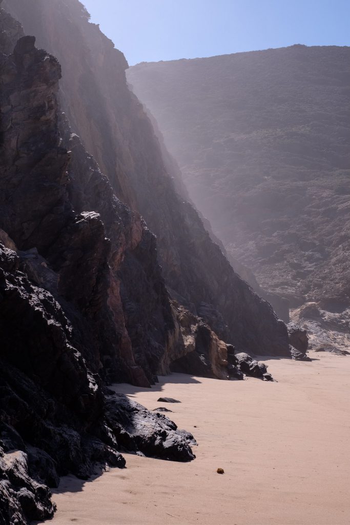
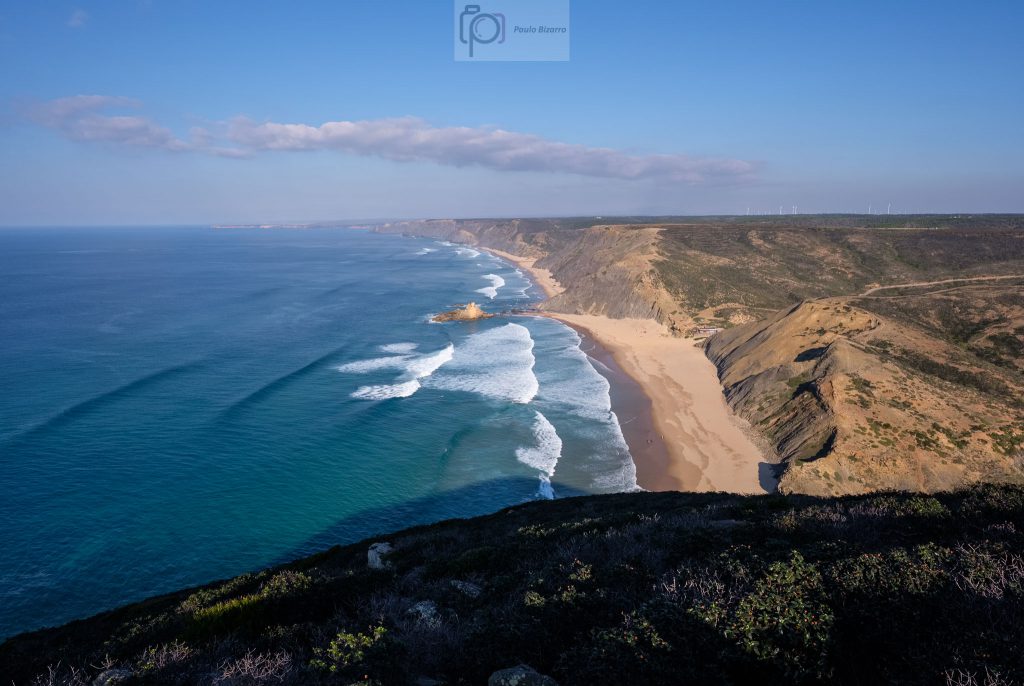
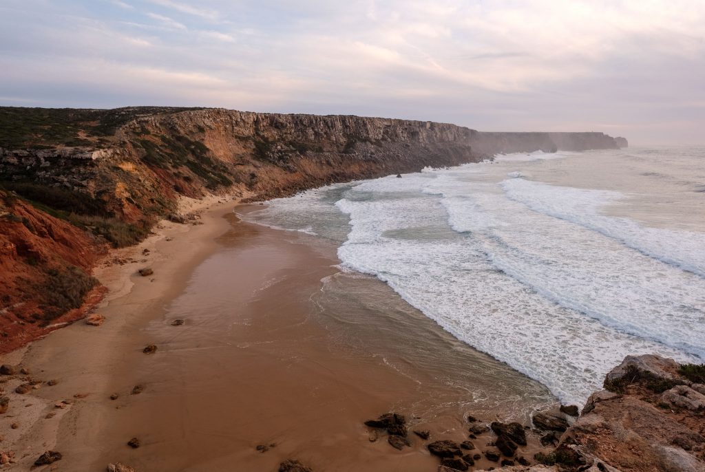
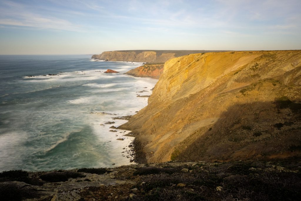
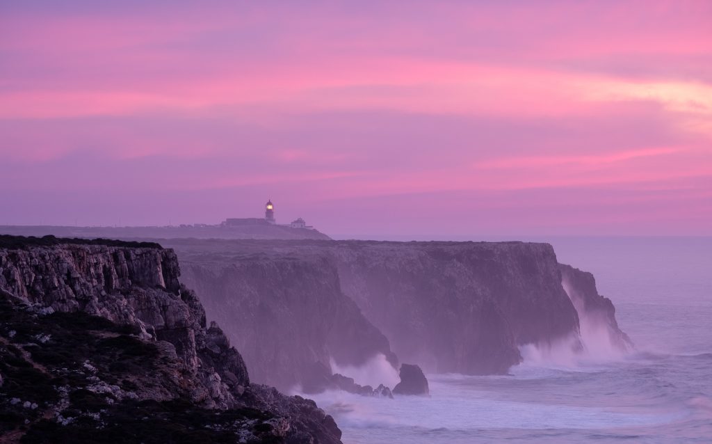
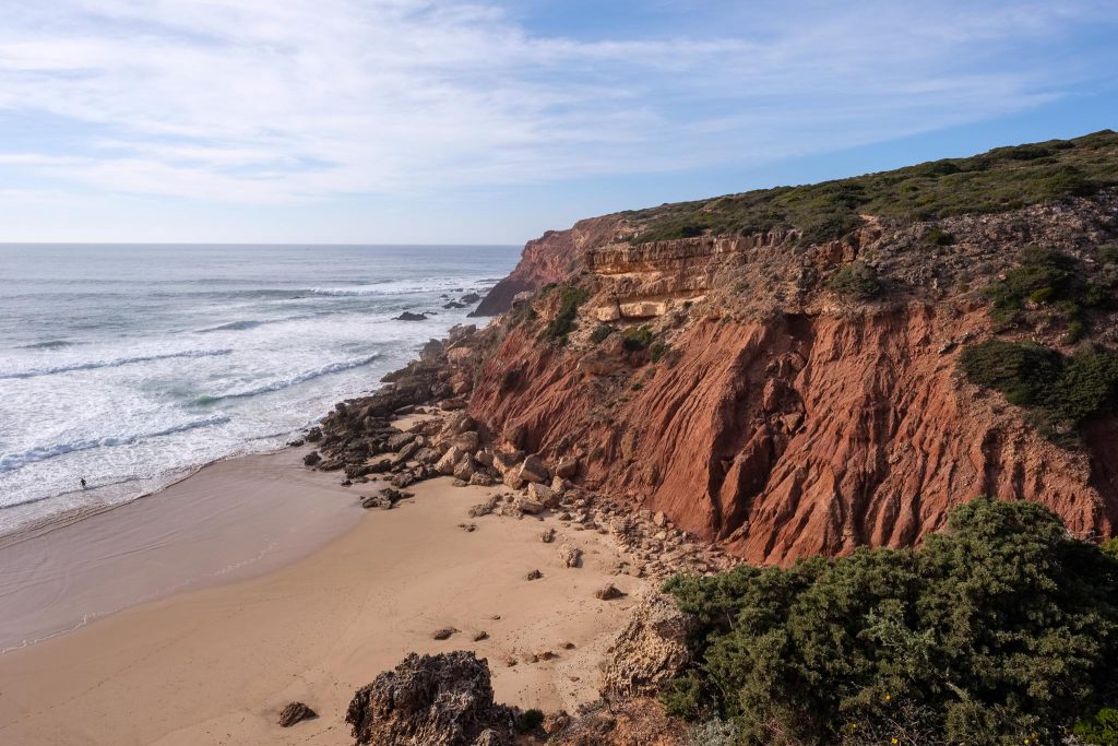
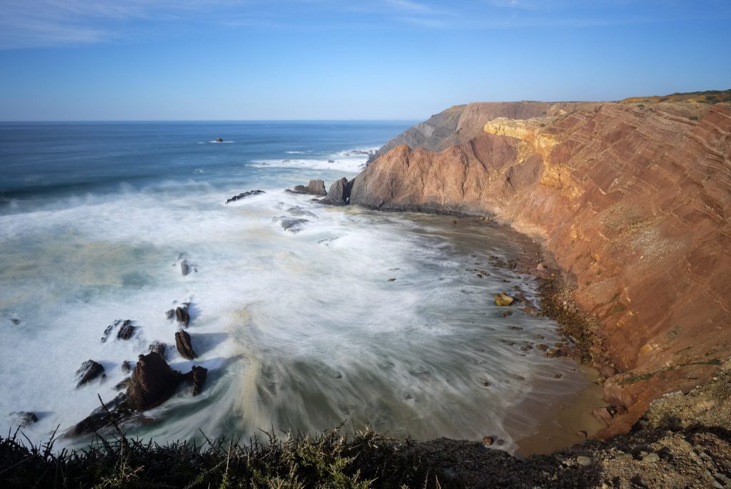
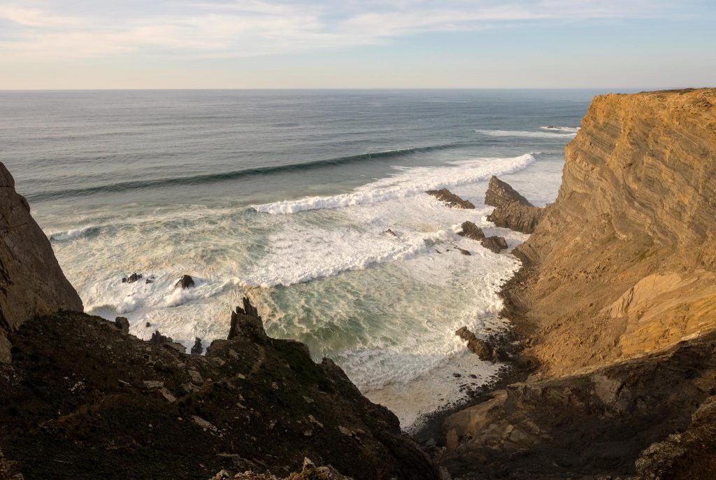
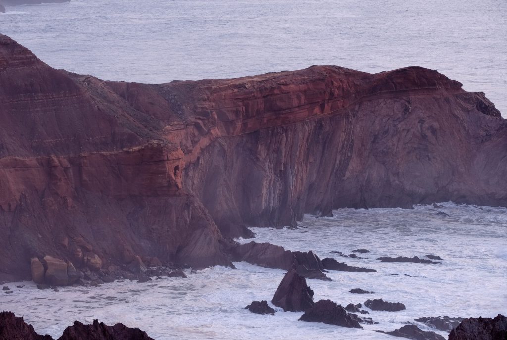
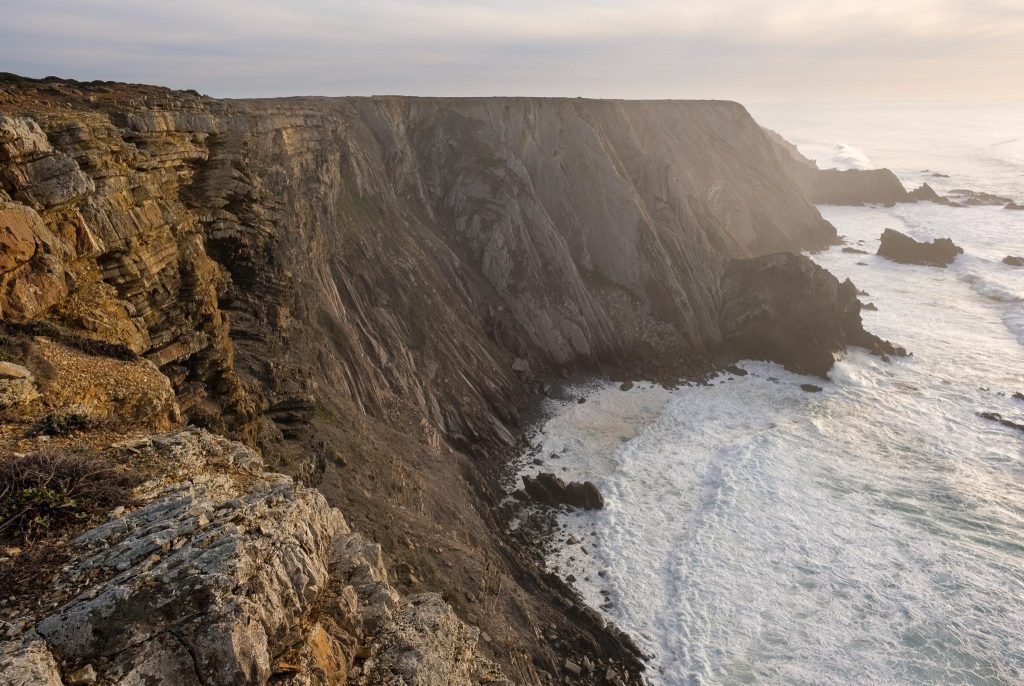
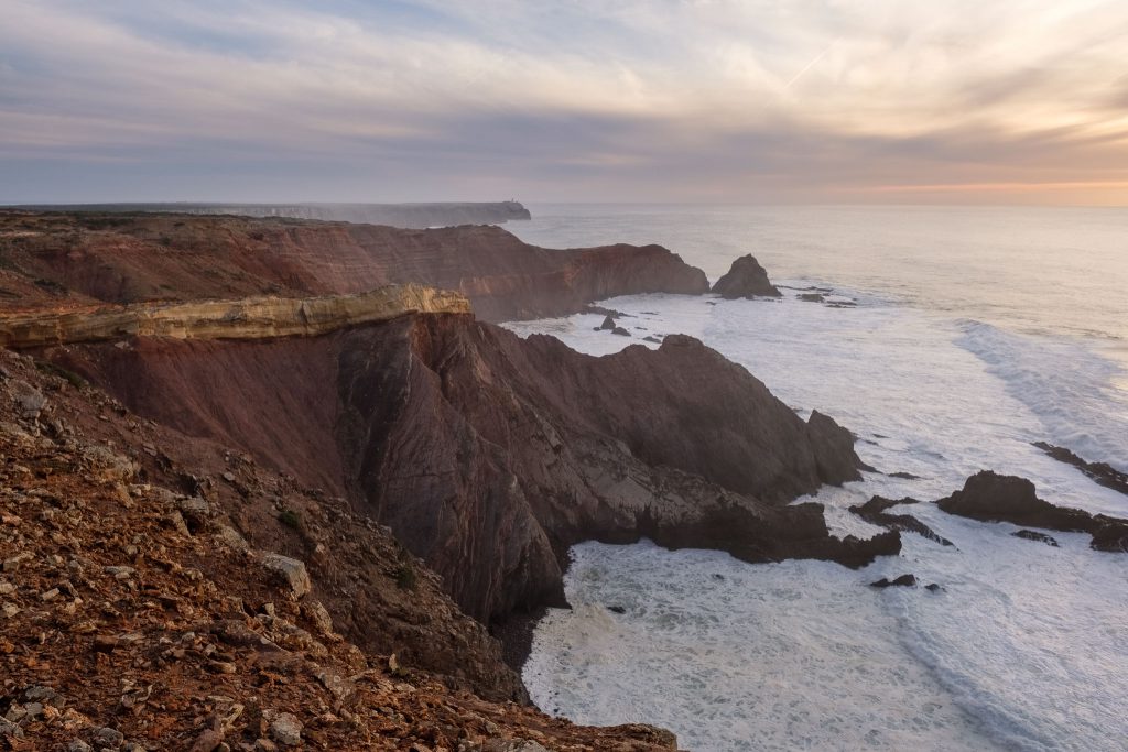
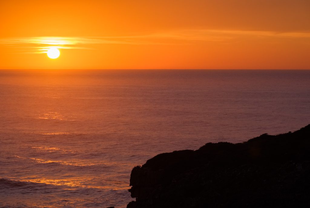
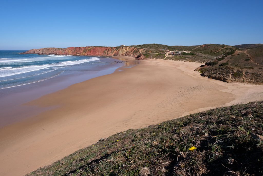
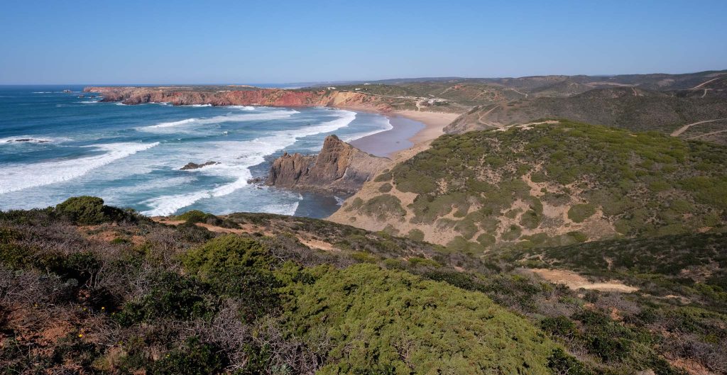
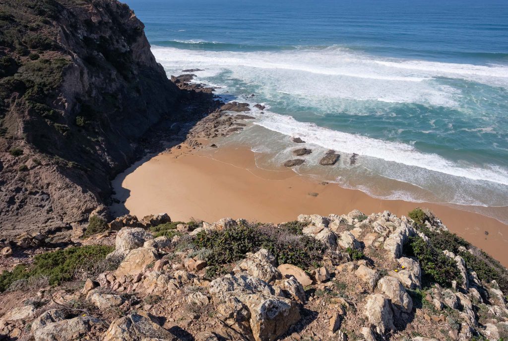
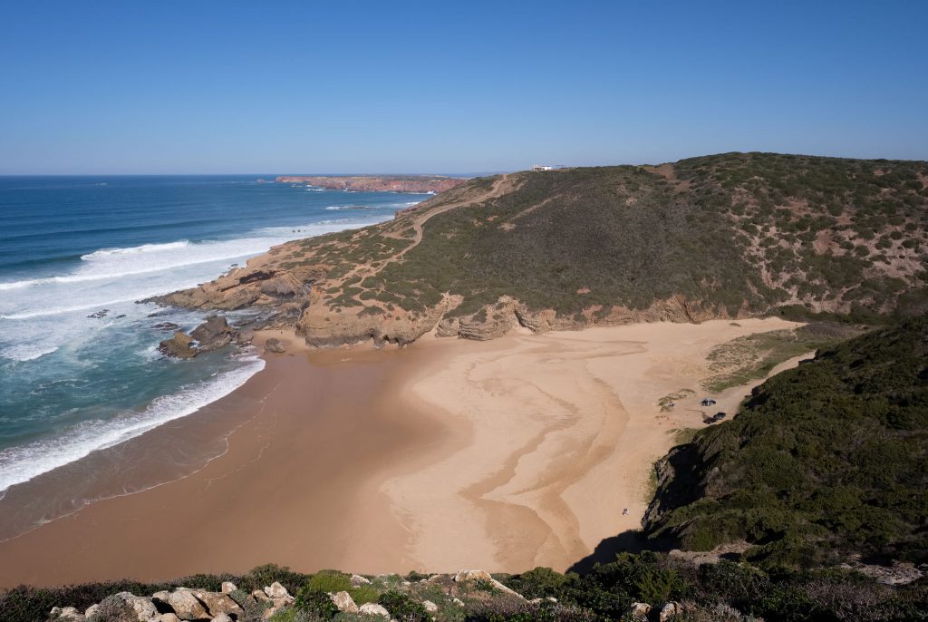
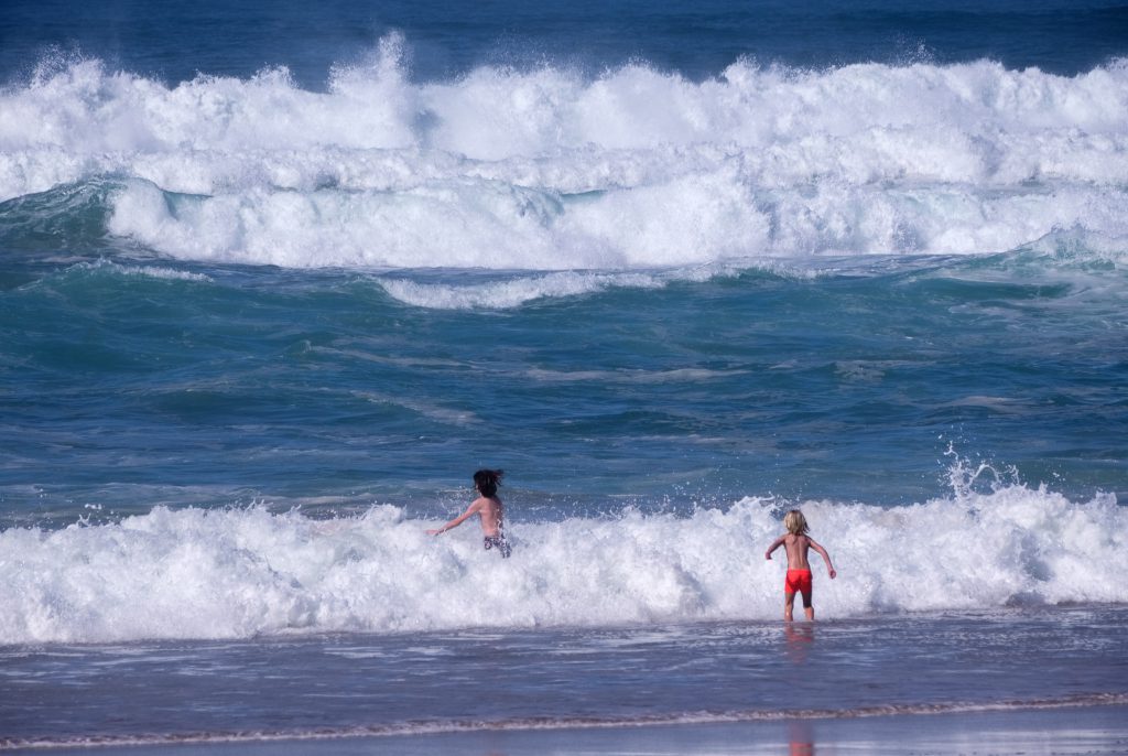
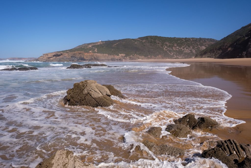
This walk starts in the village of Odeceixe, which is located in the southwest coast of Portugal, in the limit between the provinces of Alentejo and Algarve. It is a companion walk to route 14, which I have described before (see link below). That one was a circular trail that crossed the coastal plateau, reaching the coast and returning to the village along the river Seixe.

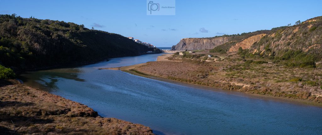
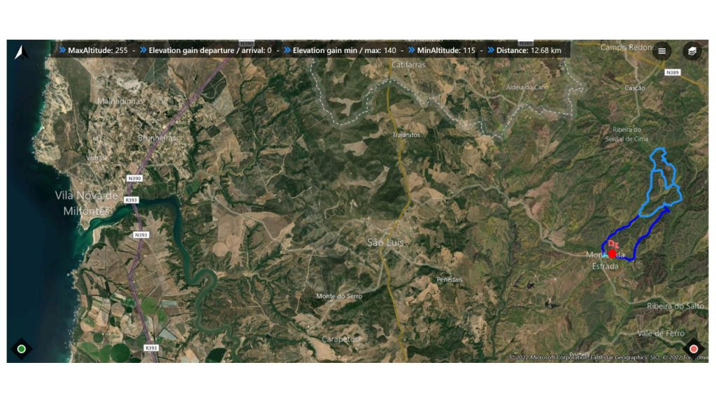
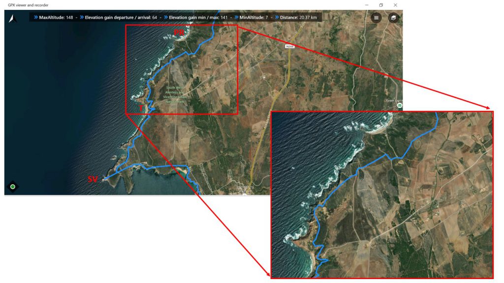
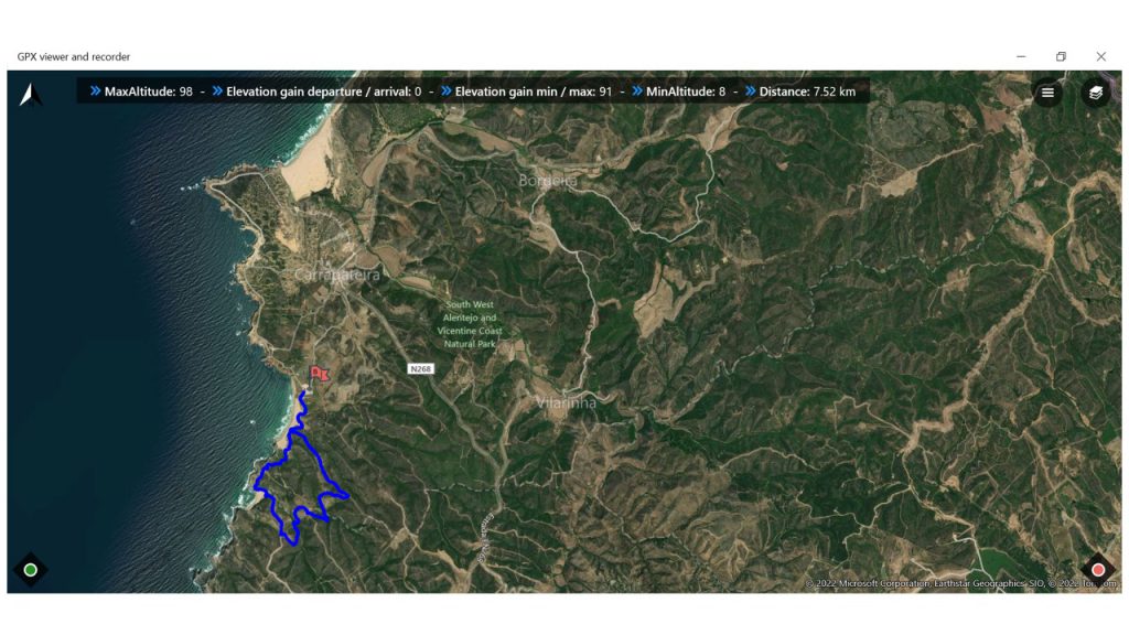
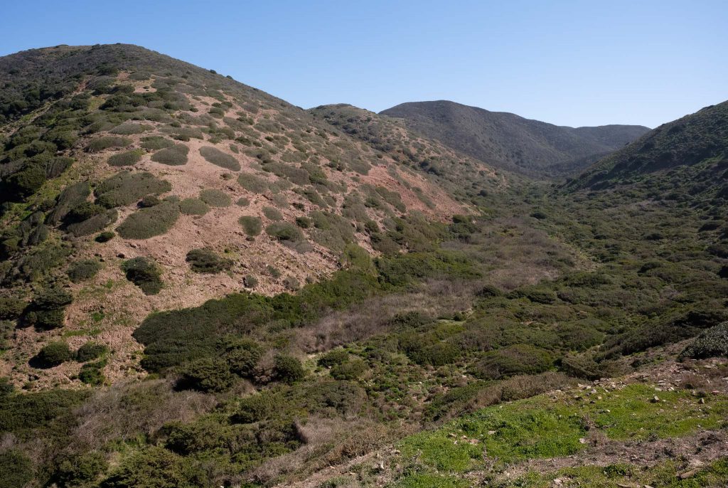
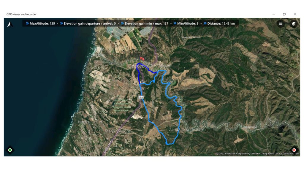
Route number 15 also starts in Odeceixe, but heads to the interior, along hilly terrain, approaching the slopes of the Algarve mountains. This is where the source of the river Seixe is located; in fact, a good part of the trail follows the river valley, as indicated in the map below. The total distance is around 16 km.

Location map for route 15 of the Rota Vicentina.

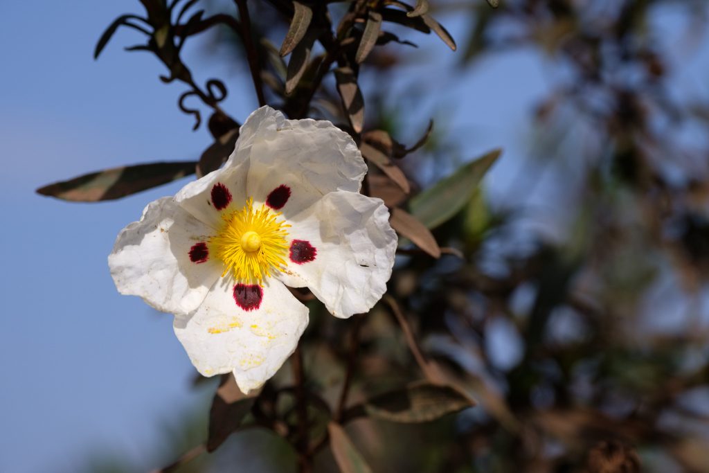
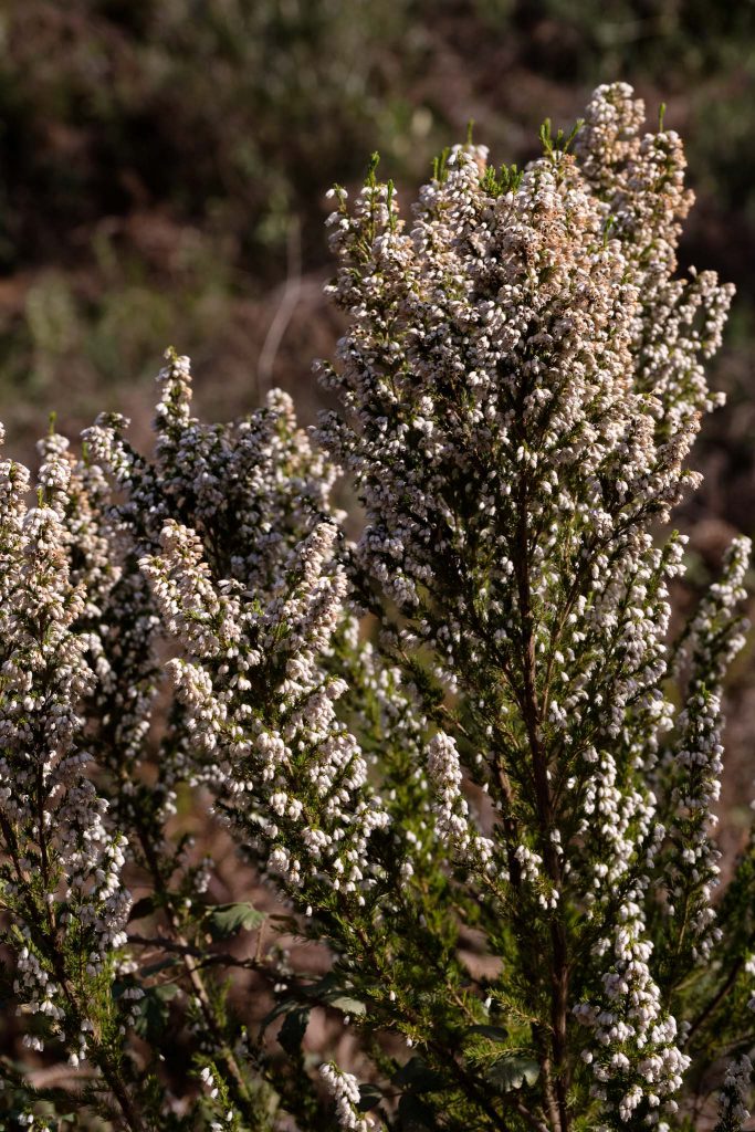
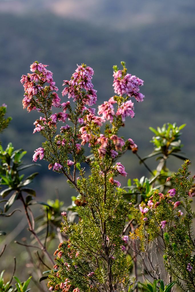
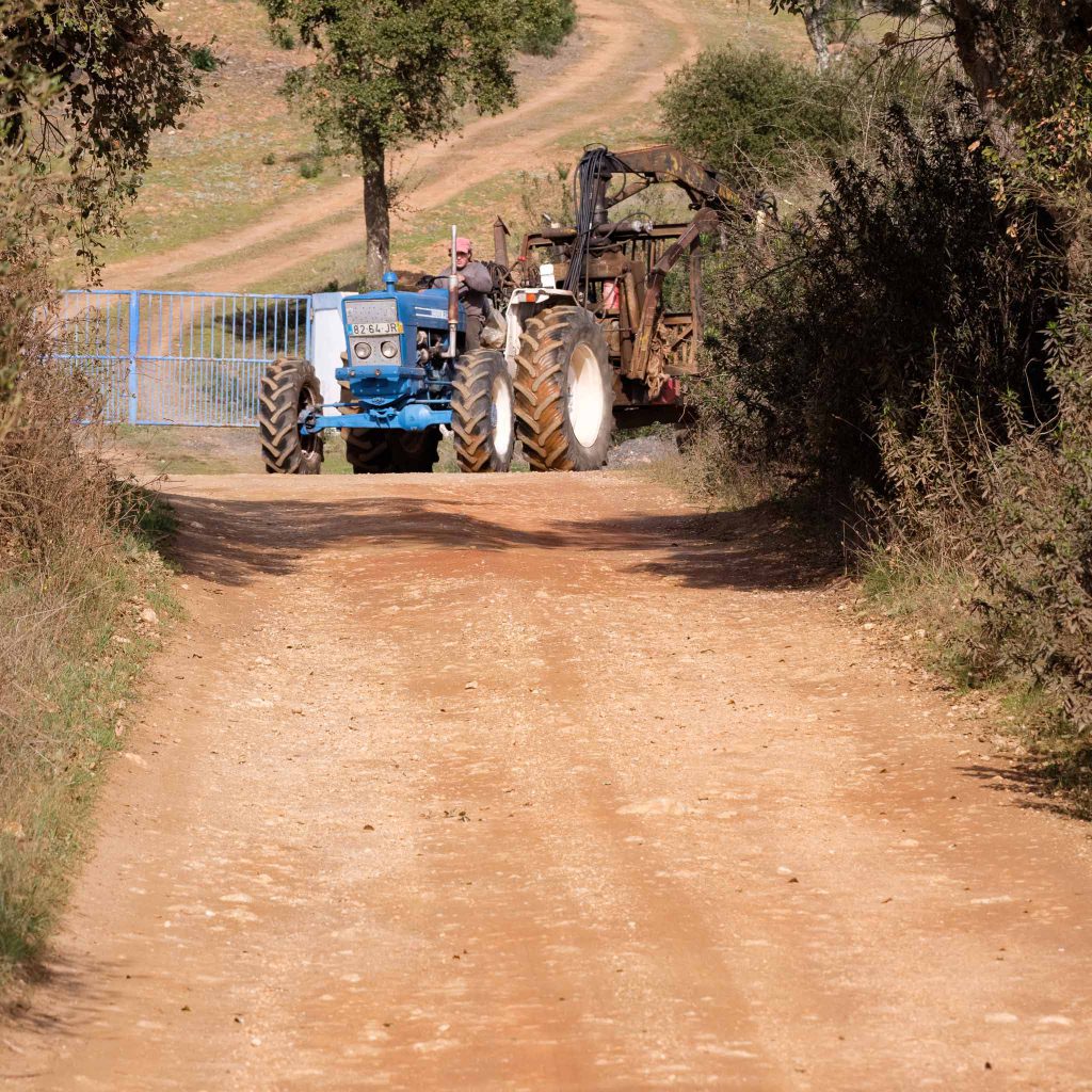
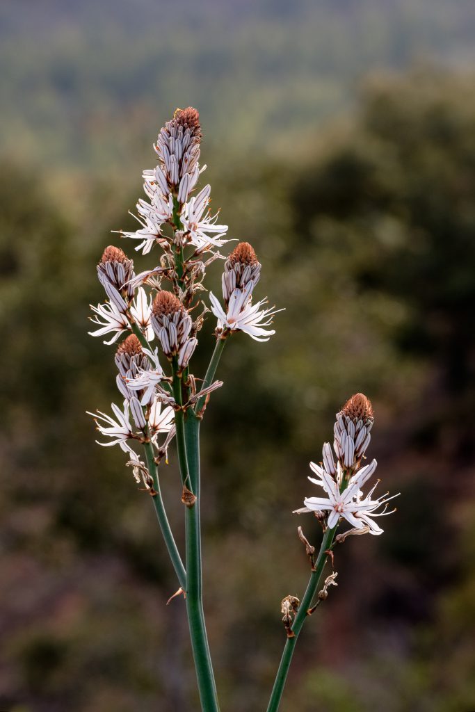
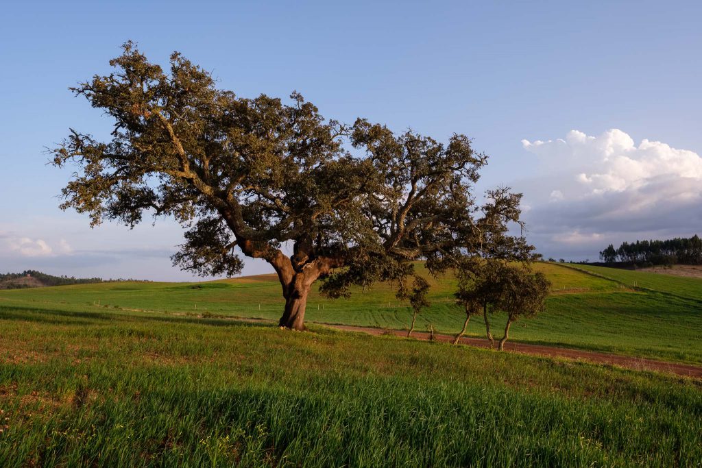
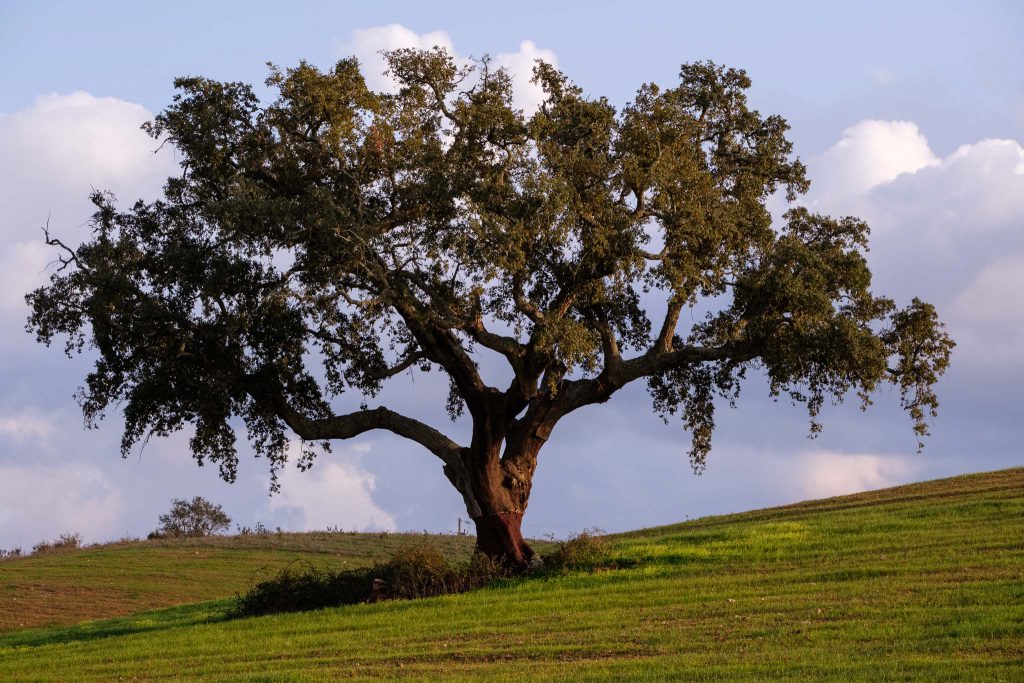
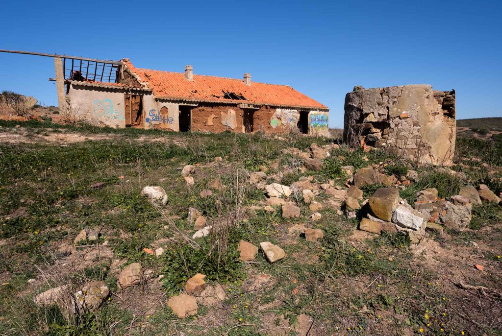
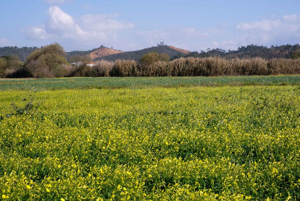
Leaving Odeceixe behind, the trail heads to the South, crossing cultivated land and a few farms. In the beginning of March, there are some fields of flowers announcing the coming Spring.

Yellow.

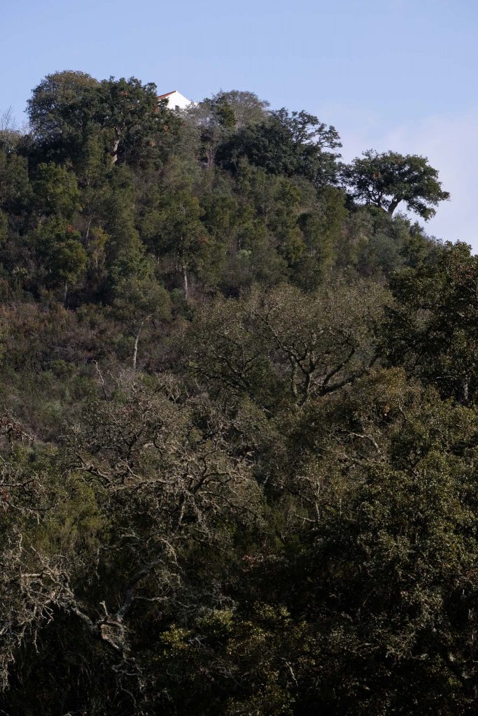
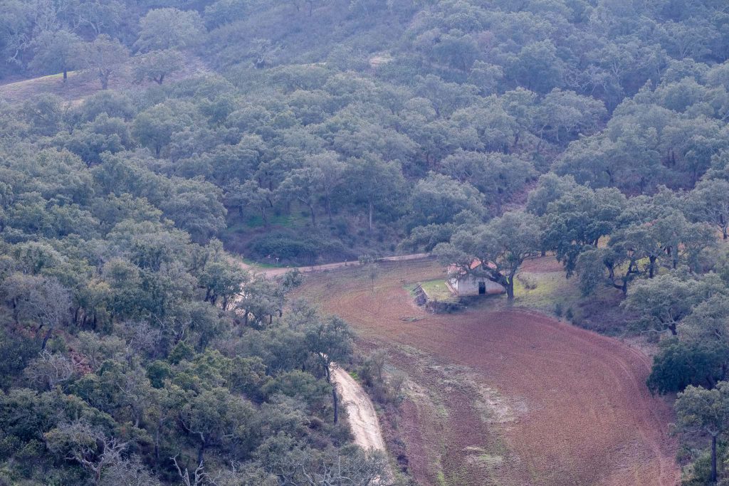
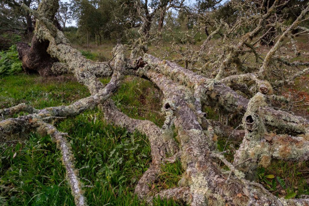
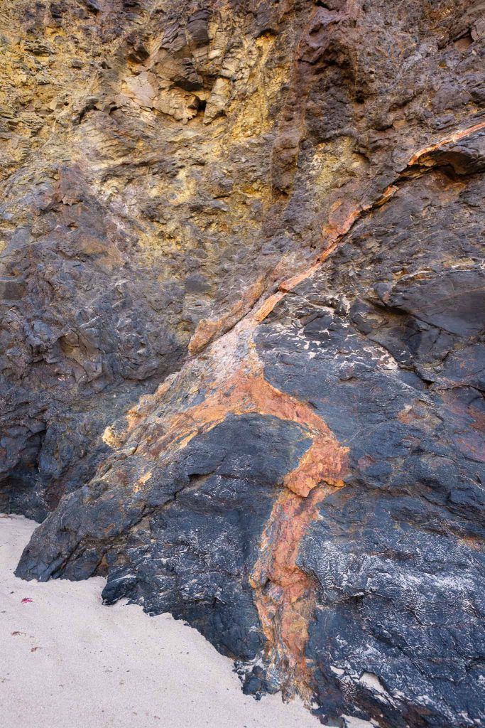
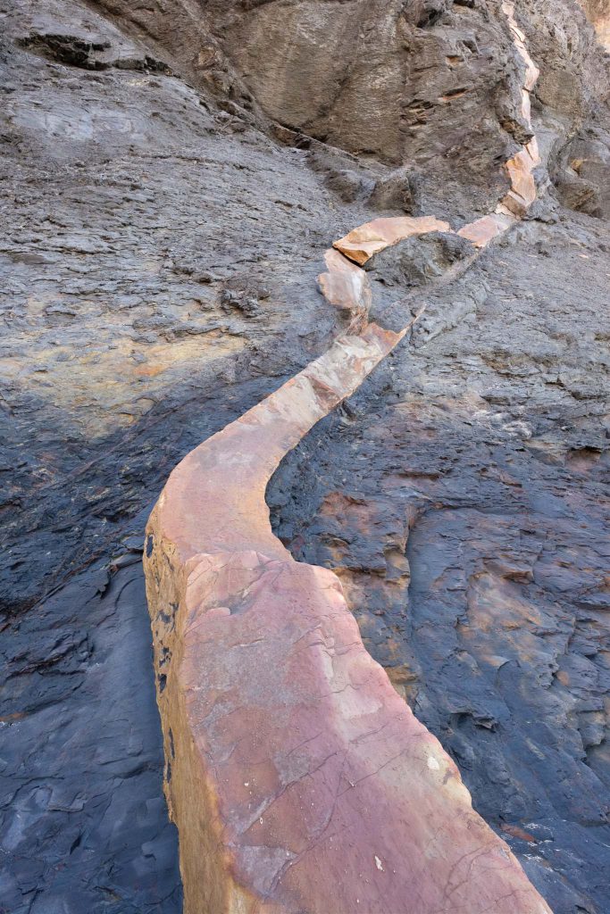
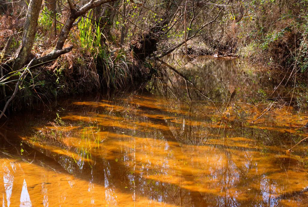
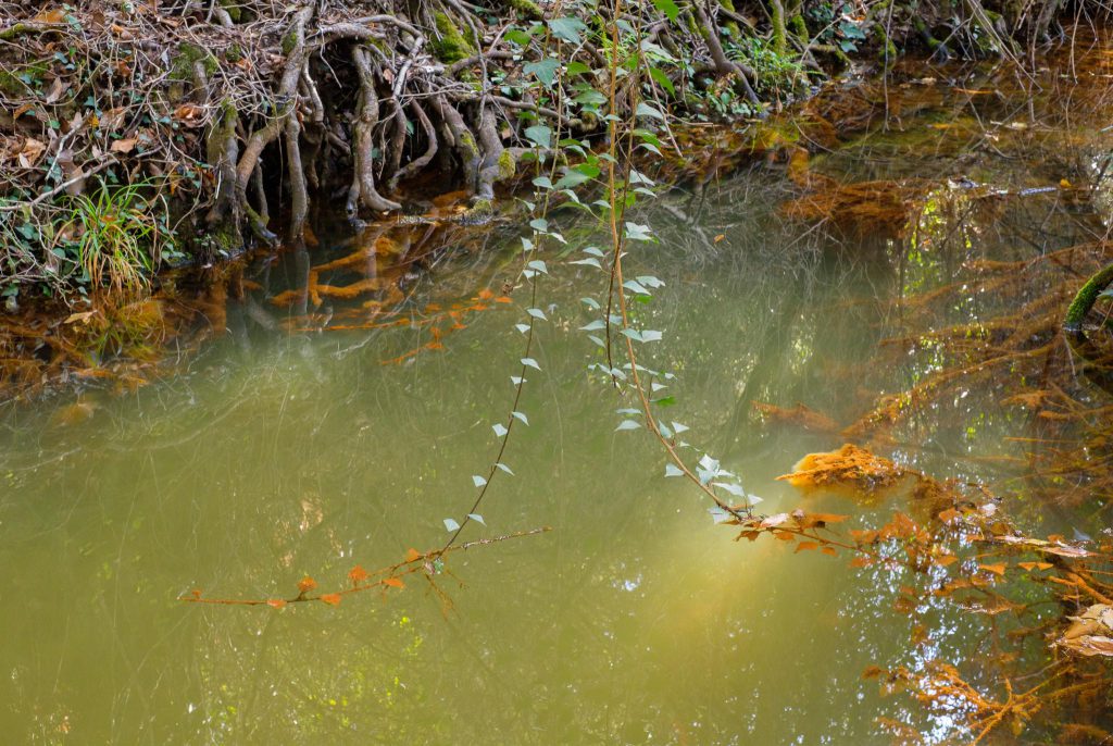
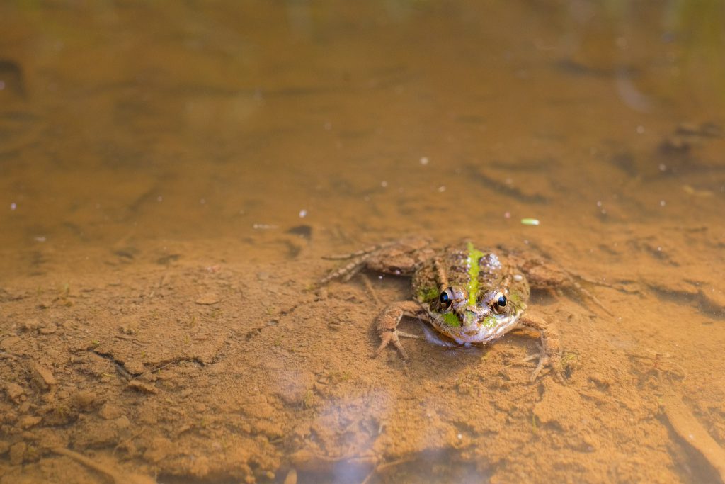
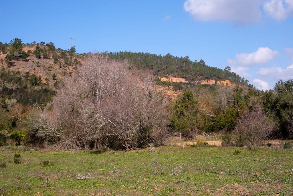
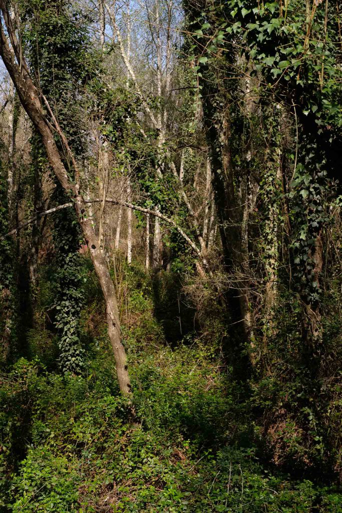
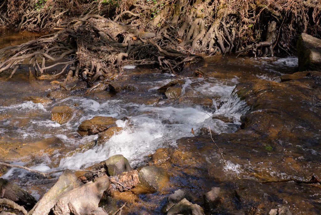
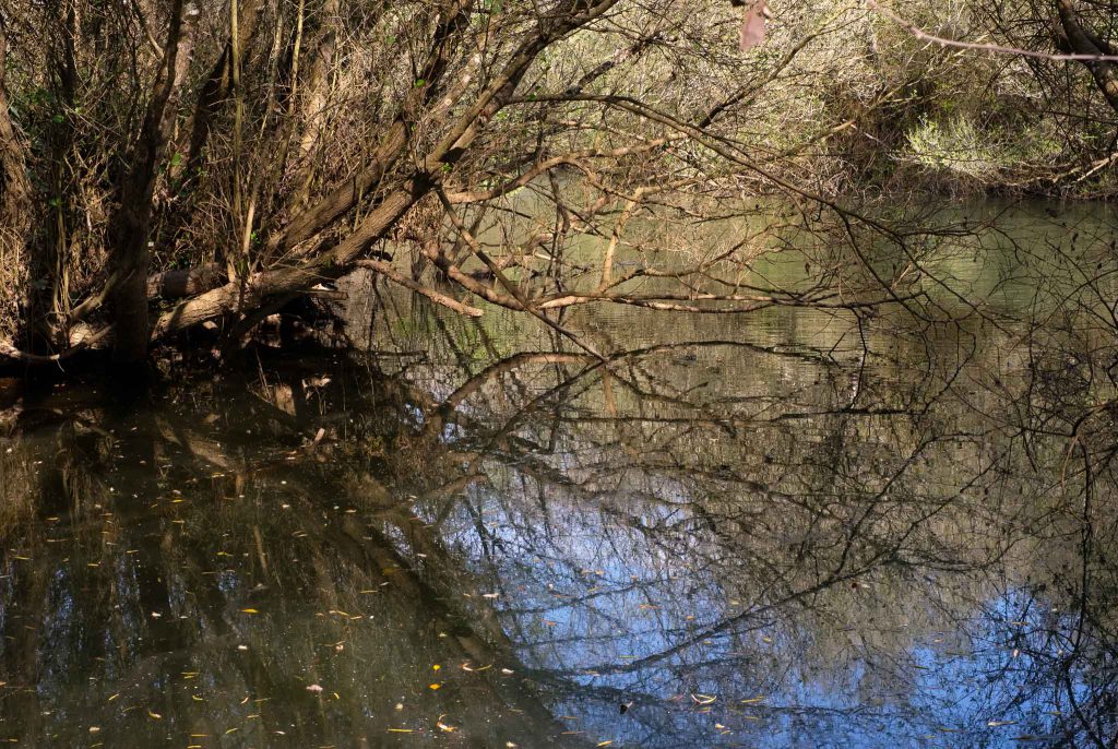
It is an easy walk along the flat plateau, with some pine tree forests along the way. After a few kilometers, the trail starts to descend towards the river Seixe, which makes its way along a narrow valley. This is a wonderful part of the trail, walking close to the running water, and amidst small forests of ash and elm trees. Here and there, frogs jump into the pools.

Along the river.
Roots.
Small frog.

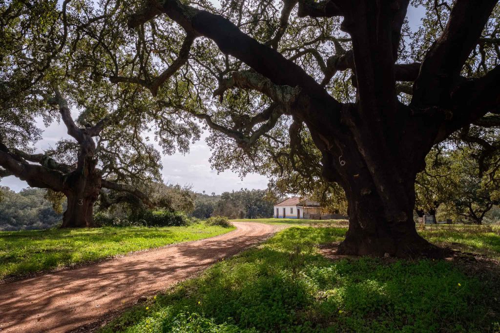
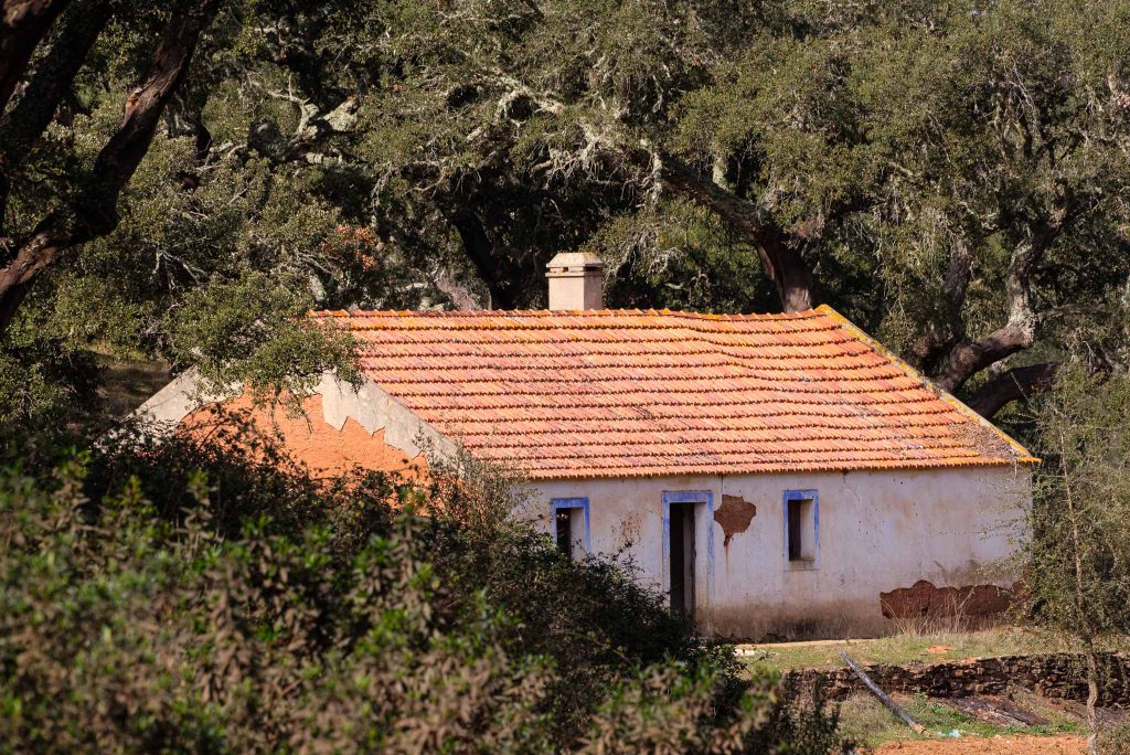
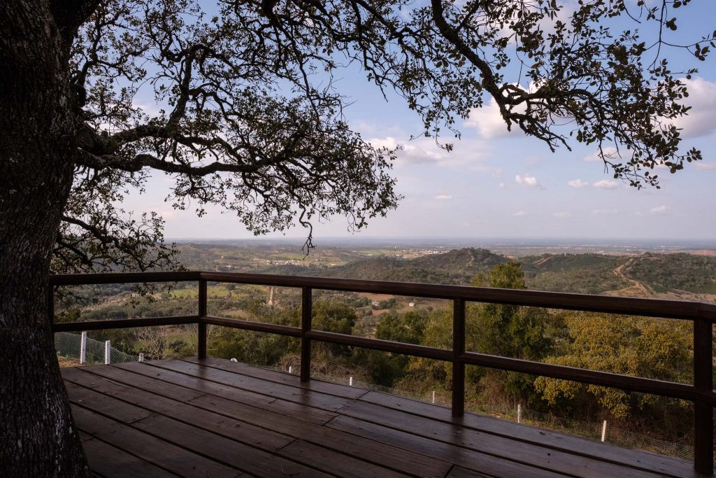
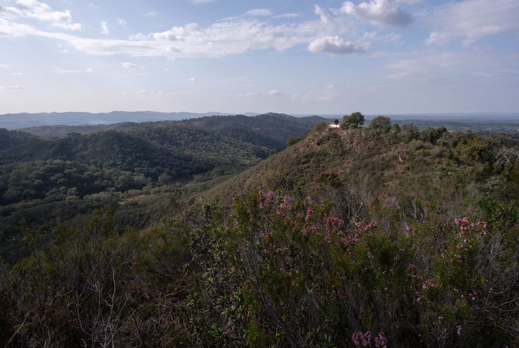
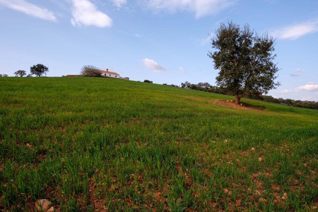
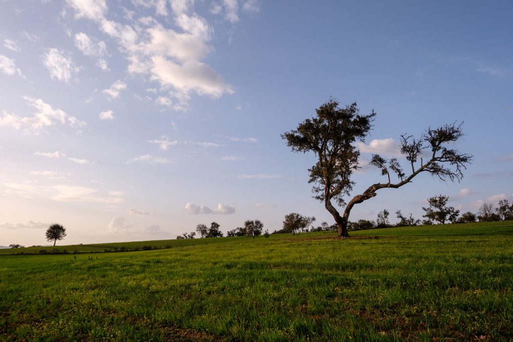
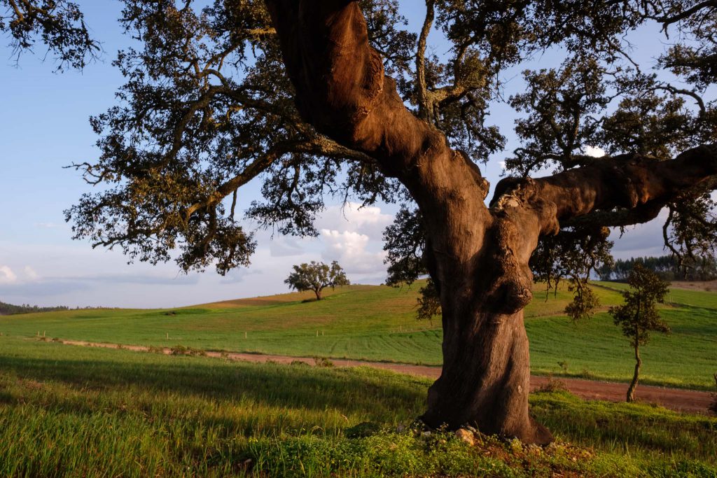
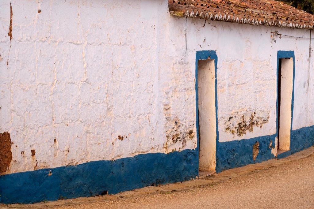
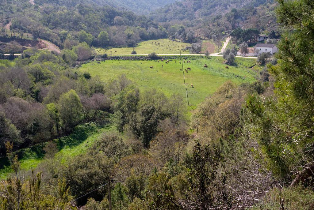
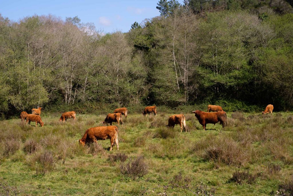
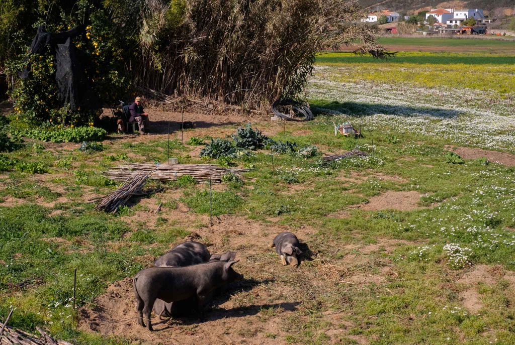
The rest of the walk continues to follow the course of the river, sometimes with a short diversion to the top of the nearby hills. The importance of this small river is clear, especially in the surrounding flat terrain, which is cultivated with seasonal crops and fruit orchards. The water also permits the existence of pasture for grazing animals.

Landscape along the Seixe valley.
Looking down into the valley.
Green maze.
Flowing.
Quiet.
Grazing in the valley.

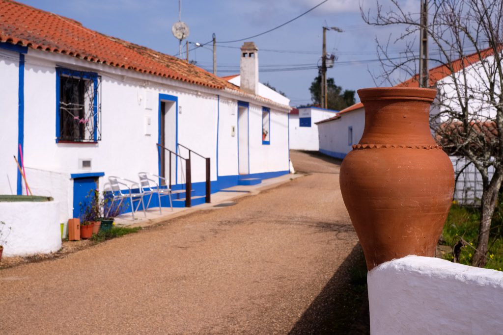
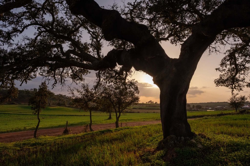
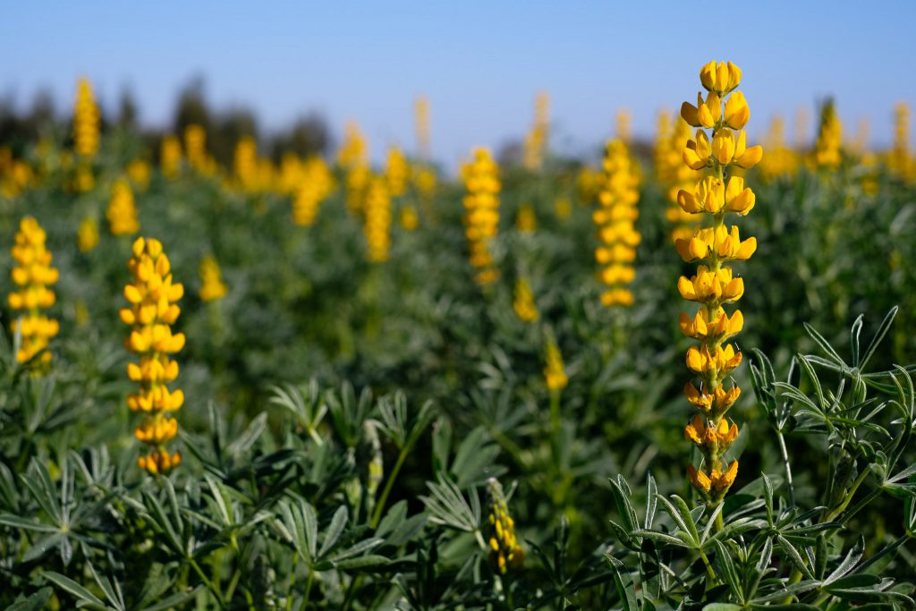
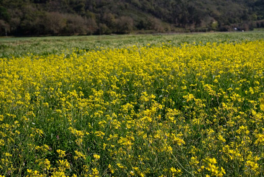
Approaching Odeceixe, the valley becomes wider, and there are more farms along the way. The land is covered in places by yellow rapeseed flowers, and I spend some time making a few photos. During this walk, I only carried the Fujifilm X-Pro3 camera and my trusty 35mm f/1.4 lens, a combination that is flexible enough to cover the different subjects I encountered along the way.

Yellow and green.
Black pigs and farmer.
Landscape near Odeceixe.

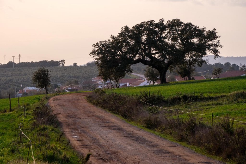
Soon I am back at the starting point, and I rest for a while in a café, where it is possible to taste the local delicacies, which are made with fig, almond, honey and pumpkin. As I mentioned in the beginning, this trail route is an excellent complement to the other path that goes to the coast. Together, they provide a wonderful experience of the region around Odeceixe, which is one of the icons of the Costa Vicentina.

Vicentina Coast – a treasure to experience

The coastal region between Odeceixe and São Vicente is part of the Southwest Alentejo and Vicentina Coast Natural Park, and throughout the years I have written many times about the region. Today I would like to make a visual summary of the main points of interest along this coastline. This comes as a result of the several Rota Vicentina trails that I have been walking in the last few years.

The main reference points along this coastal region are often associated with a few villages and/or nearby beaches. From North to South, we will find: Odeceixe, Aljezur (Amoreira, Arrifana and Monte Clérigo beaches), Bordeira (Carrapateira, Amado, and Murração beaches), Vila do Bispo (Cordoama and Castelejo beaches), and finally Sagres/Cabo São Vicente (Telheiro and Ponta Ruiva beaches). In all of these it is possible to admire wonderful seascapes, which are dominated by tall cliffs that drop precipitously into the azure ocean.

These cliffs are formed by heavily compressed, folded and faulted Paleozoic rock formations with around 300 million years of age. Quite often, it is this geologic complexity that shapes the topography of the coastline. Given the nearby mountains, like Monchique, several small rivers and brooks make their way to the coast, where their estuaries lead to the formation of several of the beaches mentioned above (like in Amoreira, Bordeira, and Odeceixe). What follows is a compilation of photos from these beaches, most of them taken off-season, when the silence and tranquility prevail.

Panorama of Odeceixe beach, shaped by water and wind.
Panorama of the river Seixe looking towards the sea.
Sunset time in Arrifana, where its golden sands are protected by a cove.
Looking South from Arrifana.
Carrapateira beach.
Carrapateira beach and village.
Amado beach.
Amado beach and its red rocks.
Light from above in Murração.
Waves in Murração.
Surfboards in Cordoama.
View of Cordoama and Castelejo beaches from Torre da Aspa, the highest point in the Algarve coast.
Telheiro beach at sunset.
Looking North, with the red rocks of Ponta Ruiva in the middle distance.
Ponta Ruiva.
Fiery sky in Telheiro.
São Vicente lighthouse at the end of the day.

On the trail in route 7 of Rota Vicentina, near Odemira

This circular route is one of my favorites in the Rota Vicentina, and I have written about it several times before (see link below as an example).

A few days ago I spent some time in the region, and I took the opportunity to walk this trail again. Revisiting familiar places is always a challenge when it comes fresh ideas for photos, but I have tried to do so. I decided this time to walk the route in the afternoon, as my previous walks had been in the morning. As such, I was hoping to benefit from some late afternoon light over the local rural landscape. One other difference was that I am currently testing a new lens, the Fujinon 70-300mm. This lens allowed me to isolate some elements in the landscape, such as old houses and the large cork oak trees that are typical of the area. With me, I also had the 14mm wide-angle lens, which was useful to frame the large trees and the hilly landscape.

The weather was nice, already with a touch of Spring in the air. Rain has been very scarce this Winter, but some recent rainfall revitalized the crops that local farmers had cultivated. This turned the hilly landscape into patches of browns and greens. For me, one of the highlights of this trail are the very large cork oak trees that dominate the landscape. Also the view from the Nossa Senhora das Neves chapel, at the top of the hill, is always a must.

Map of route 7 of the Rota Vicentina.

The first half of the walk crosses rural farmlands, with crops of wheat, large cork oak trees, and some abandoned old farm houses. Some plants are in bloom, adding color to the landscape. The sense of tranquility and isolation is strong.

Monte da Estrada village, at the beginning of the trail.
Framed house.
Rockrose flower.
Old farm house.
Heather in bloom. Source of delicious honey.
Pink flowers.

After a few kilometers, the Nossa Senhora das Neves chapel, located in the top of a high hill, becomes visible from the valley below. Soon, the path starts to climb steeply, but the view from the top is well worth the effort. Next to a curve, a farmer drives by in a tractor. It was the only person I have crossed with during my walk.

The small chapel at the top.
Along the way.
Nossa Senhora das Neves belvedere. A good place to rest and enjoy the view.
Hilly landscape, with the chapel in the distance.

I put the 70-300mm lens to good use, zooming in into some distant elements. It is also good for some close-ups o flowers along the way.

Looking down.
White flowers.

The rest of the walk continues to cross farmland, and I photograph a few more houses and interesting trees along the way. The sunset light imparts a different character to the landscape, precisely what I had hoped for.

Spring crops.
Twisted bark.

Just before arriving back at Monte da Estrada, there is a nice cultivated area with scattered cork oak trees, and I spent some time photographing it. I try different compositions, such as isolating the trees in the landscape, or moving up close to better show the characteristic rough and twisted tree trunks.

Rural landscape at the end of the day.
Cork oak tree.
Down to earth.
Cork oak tree in silhouette.
End of the trail.
Lone cork oak tree.
Old house.

I had walked this trail last October, when the fields were all brown and dry. A few months later, it was nice to go back and see the change, with the landscape covered in large part by the green of the cultivated fields. I am sure I will go back to this route in the future, every time it offers something different.

Between Telheiro and Ponta Ruiva in the Vicentina Coast

In the previous post, I wrote about the wonderful route 23 of Rota Vicentina, that connects the beaches of Amado and Murração. Following the road to the South, near Vila do Bispo, there are many other interesting places to visit and photograph, including Castelejo and Cordoama ( see post linked below).

The coastal region between Vila do Bispo and Sagres, to the South of Castelejo beach, continues to be characterized by the same tall cliffs, strong winds and heavy seas. Here and there, small sandy coves hide protected beaches, only accessible by rough roads or by foot. I wanted to visit the area between the beaches of Telheiro and Ponta Ruiva, which are located within a stone’s throw of Cape São Vicente. A general map is provided below for reference.

Location map for the area between Telheiro and Ponta Ruiva beaches.
SV – Cape São Vicente/T – Telheiro beach/PR – Ponta Ruiva beach.

This short stretch of coastline, around 3 km long, holds one of the most famous geomonuments in Portugal. In the Telheiro beach, it is possible to admire a fantastic angular unconformity between the 320 million year old Carboniferous schists and greywackes, and the 200 million year old Triassic red sandstones. The “missing” 120 million years are represented by the unconformity, as the result of the uplift and erosion of an old mountain chain, followed by the deposition of the continental red beds.

Telheiro beach.

I had around 2 hours before the sunset, so I took my time to explore the area, trying to find some good viewpoints over the rock formations and the coastline. The wind was strong, and the cliffs are about 100 m high, so I had to be careful when approaching their edges. I made a lot of photos, as the views to the North and South were really wonderful.

Geological coastline.
Precipice.
Angular unconformity.

After making a few photos of the unconformity, I walked to Ponta Ruiva beach. The name (Red Point) comes from a peculiar outcrop of red rock, which provides a nice contrast with the surrounding formations. Along the way, there are many interesting view points from where to photograph. With the approaching sunset, the quality of the light was improving, bathing the area with golden hues.

Folded rocks are everywhere.
Looking North towards Ponta Ruiva.
Ponta Ruiva.
Geological coastline with the unconformity.

At the end of the day, after returning to Telheiro, I also had the chance to photograph the lighthouse of São Vicente in the distance. Together with the nearby Sagres promontory, this region has a special meaning in Portuguese history and the Age of the Discoveries.

Sunset.
Sunset.
Sunset colors.
Telheiro beach.
São Vicente lighthouse.

It was a very nice way to finish the day, admiring the incessant waves crashing against this majestic coastline. In terms of photo gear, I used mostly the Fuji 14mm wide-angle and the Fuji 70-300mm telephoto lenses. They provide a lot of flexibility, covering both the wide vistas and the close-ups of the distant details.

Along route 23 of Rota Vicentina, near Amado beach

This walking trail connects the beaches of Amado and Murração in the Vicentina coast of southwest Portugal, just south of Carrapateira beach. It is a short circular route, but it crosses some of the most beautiful and characteristic zones of this region, including steep terrain, deeply cut valleys, and wild beaches. A location map is shown below.

Location map for route 23 of Rota Vicentina (in blue).

After parking the car in Amado, the trail crosses the beach in a southward direction. This is a very popular beach with surfers, who frequent it all year round. The beach is large, and has some very colorful red and yellow rocks on its northern cliffs. As a side note, besides the natural beauty of the scenery, there are many interesting geological features to observe along this walk.

Amado beach.
Colors in Amado beach.

The day was sunny, but with strong winds that are typical of this coast. Leaving Amado behind, the trail starts to climb into the surrounding hills. These have a rounded topography and are covered by short vegetation that clings to the rocky soil. Even though it is wintertime, rainfall has been very scarce, so everything looks a bit dry. In fact, this has been one of the driest winters in Portugal since there are records.

Amado beach from the top of the hill.

After a few kilometers, the path meanders up and down through steep terrain, crossing a couple of deeply cut valleys and ravines. Even though we are very close to the sea, the sound of the waves does not carry inland. Before arriving at Murração beach, there is a steep ascent up a narrow footpath, at the end of which lies an abandoned house.

The hills around Murração.
Old house on the trail.

From here it is an easy walk down a rural road to the beach, but I recommend getting off the track for a while, and make your way to the top of the cliff that overlooks Murração. The view over the coast is wonderful, including Murração, Amado, and Carrapateira.

Murração beach.
Murração beach.

As I mentioned before, there are many interesting geological features in the area, especially in Murração. If you can, spend some time in the beach looking at these dark Carboniferous rock formations, that have been folded and compressed about 300 million years ago. Also noteworthy are the abundant volcanic dykes that have intruded these host rocks, and provided an interesting color contrast along the cliffs.

Volcanic dyke.
Volcanic dyke.
Folded and stretched.

This beach is also an excellent spot for a picnic lunch. A few people were also around, even risking a dive in the cold and rough sea. As I was lying down resting for a while, the Sun started to illuminate the vertical cliffs, adding a nice effect of hazy light and local mist.

Braving the ocean.
Misty light from above.
Murração beach.

From here on, it is an easy walk back to Amado, with more opportunities for photos along the way. The sea was rough with some nice waves, so I spend some time trying to catch some in camera. The view looking southward is also very scenic, with the tall black cliffs adding a lot of mystery.

Murração beach.
Waves.
Waves.
Murração beach.

After a while, I was back at Amado beach, where I made a few more photos. On the southern part of the beach there are some interesting sand dunes. You do need to pay attention to the tide if you want to venture closer to the cliffs and tidal pools.

Amado beach.
Amado beach and incoming tide.
Amado beach.

This is another wonderful trail walk that crosses beautiful hilly and coastal regions, that are so typical of the Vicentina coast. It is a short distance, but there are plenty of interesting things to see and photograph. Speaking of photography, for this walk I carried more than my usual Fujifilm kit: 3 cameras and 3 lenses, from wide-angle (14mm) and standard (35mm) to a telephoto zoom (70-300mm). This was because I knew I would use them all, given the variety of subjects. Still, all the gear fitted nicely in the bottom compartment of my backpack, leaving the top compartment for food and drinks.