Zambujeira do Mar – Winter wonder

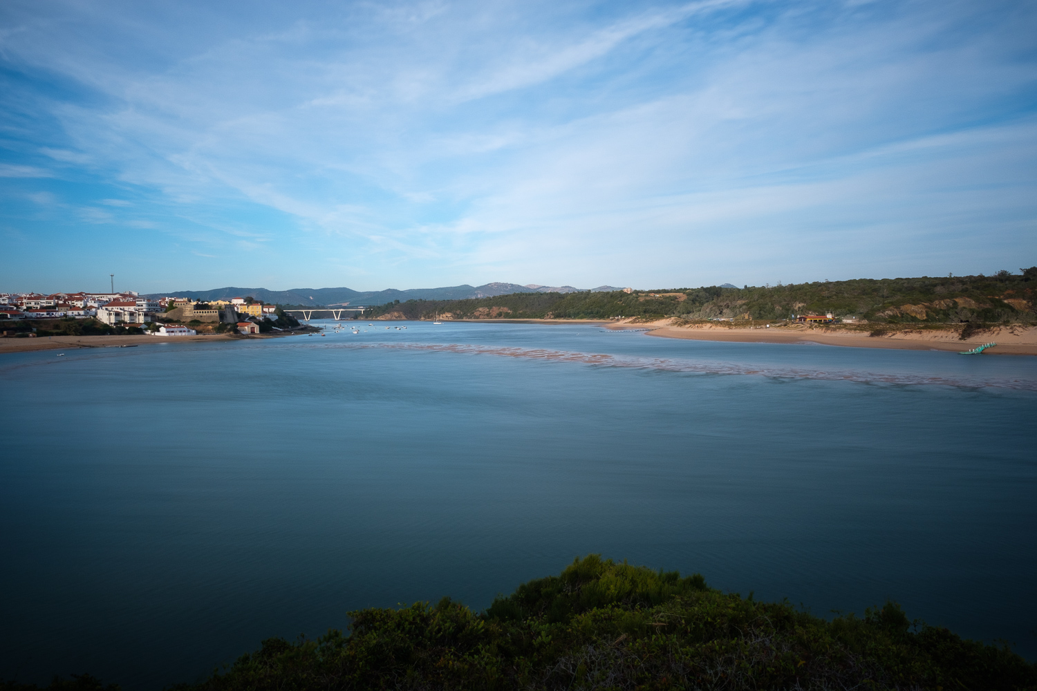
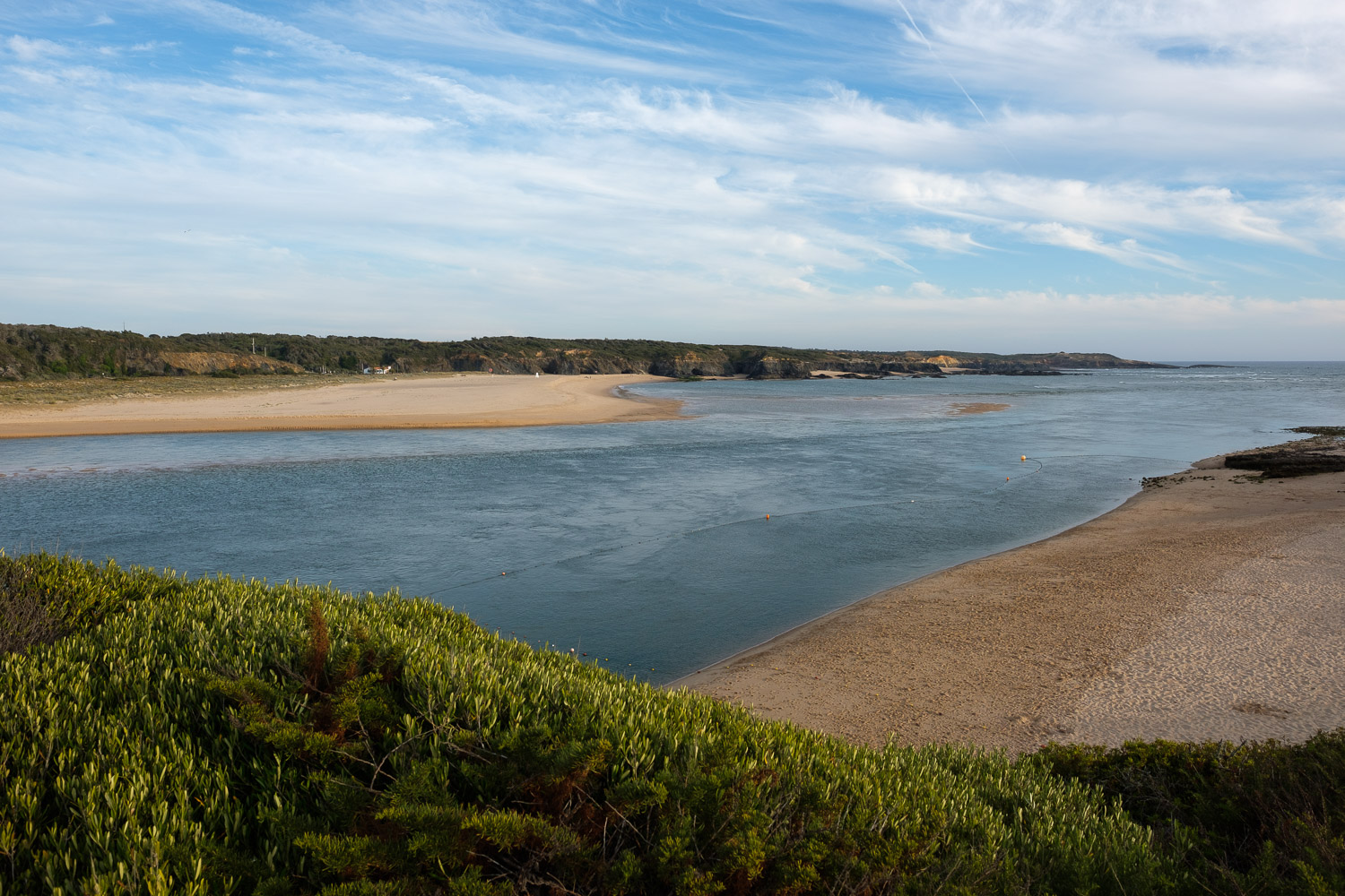
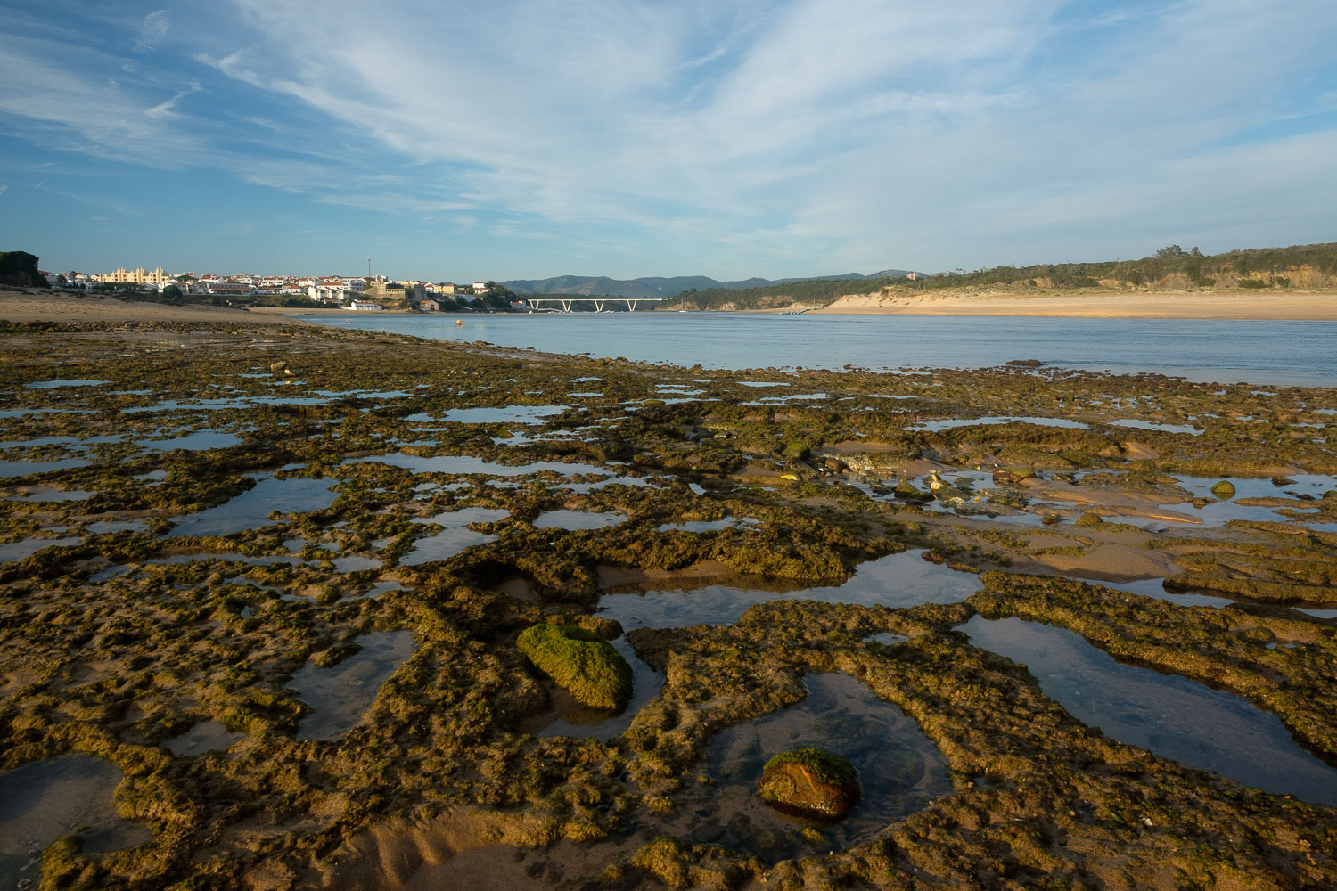
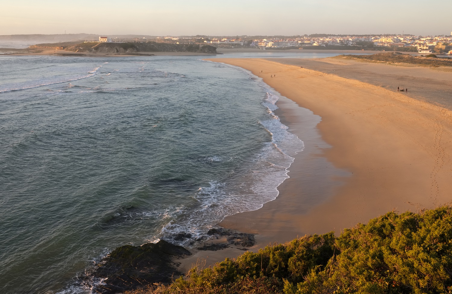
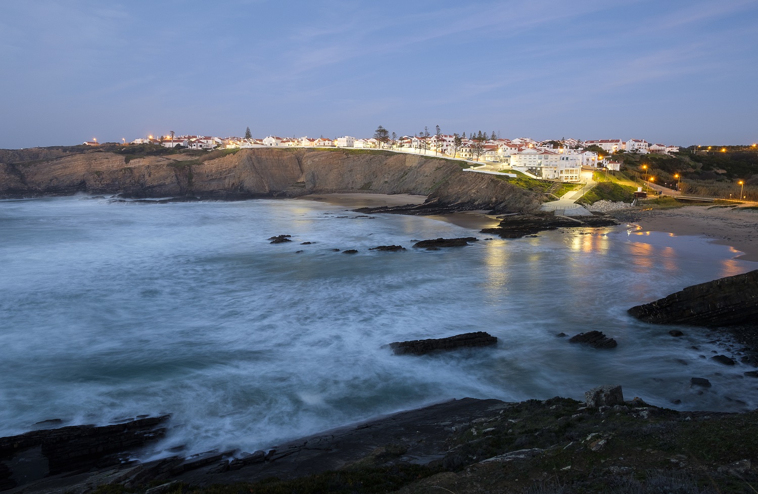
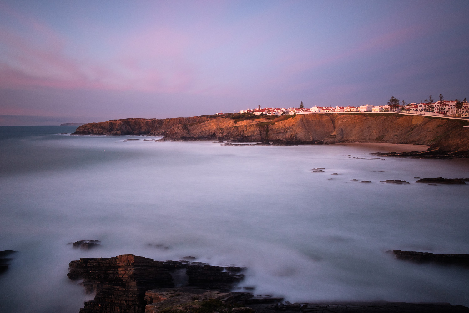
Zambujeira do Mar is a quaint little village located a few km South of Cabo Sardão, in the Alentejo coast. Together with Milfontes and Almograve, it completes the trio of the most famous beaches in the Odemira municipality. Similarly to the other coastal towns in the area, during the Winter there are hardly any tourists or visitors around, which makes for perfect and quiet conditions to visit. During the Summer, the small village receives a significant number of vacationers, plus a dedicated crowd during one of the most famous music festivals in Portugal.

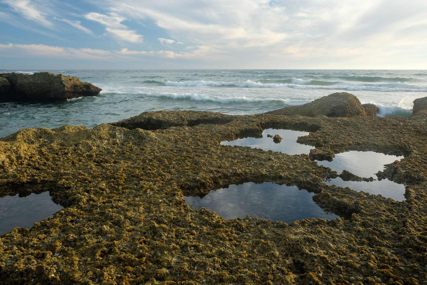
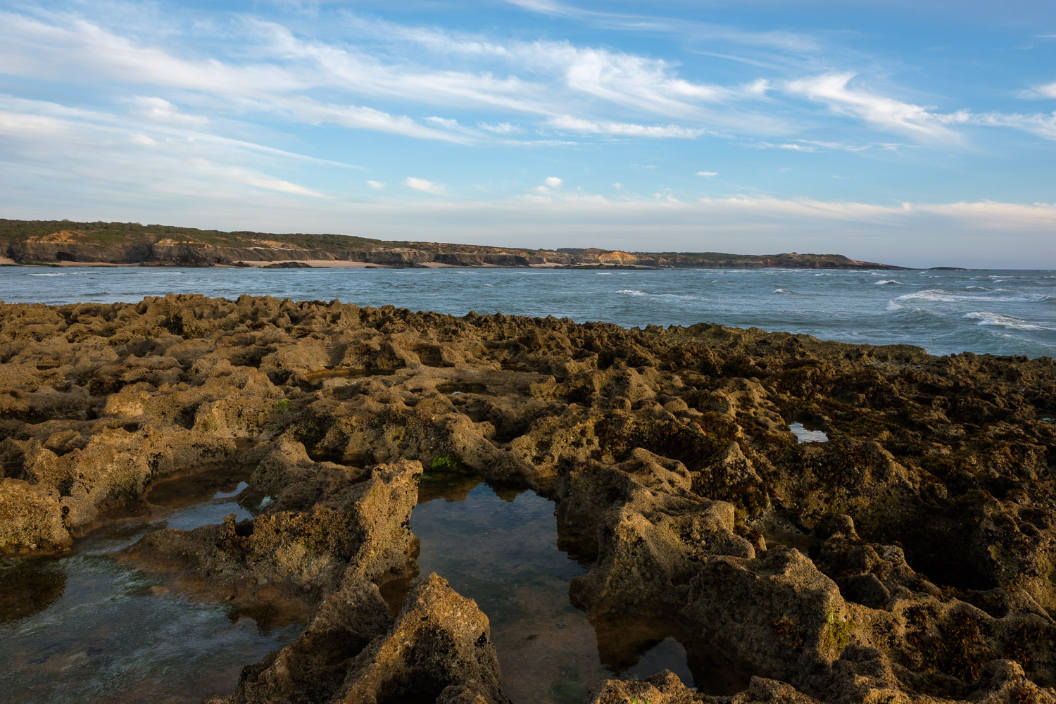
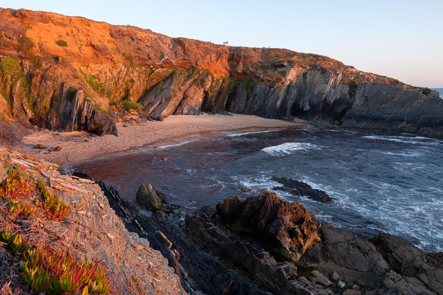
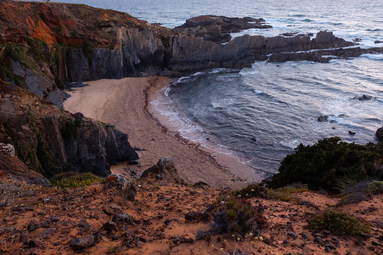
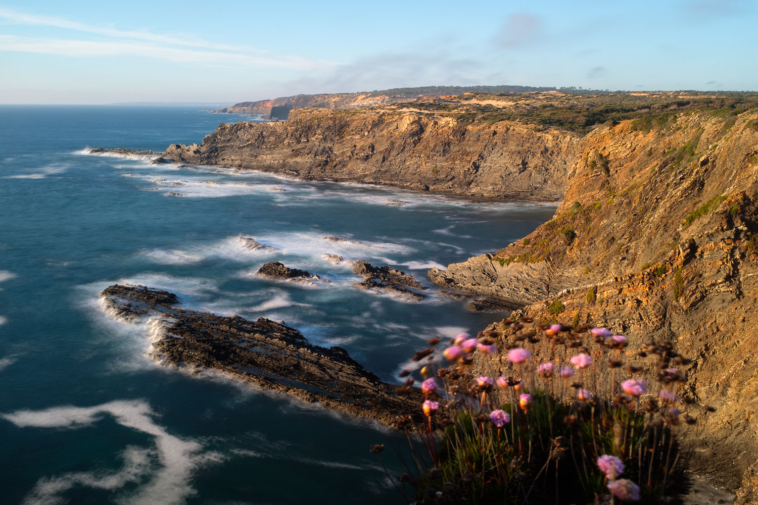
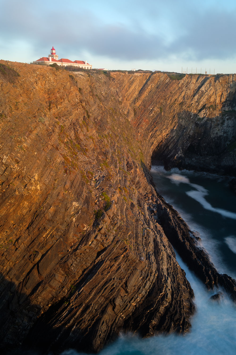
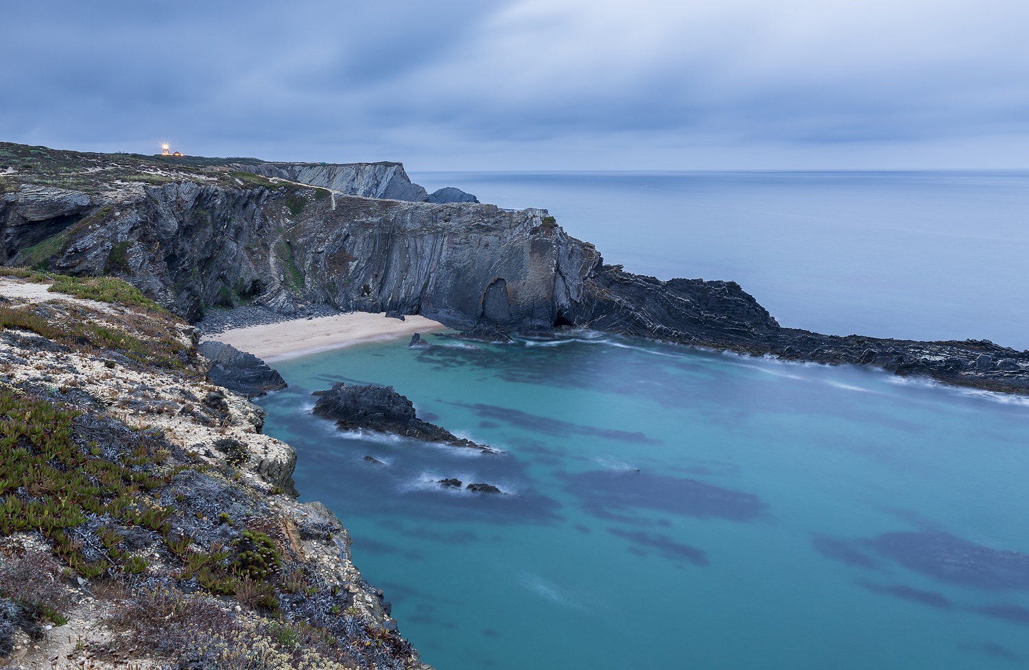
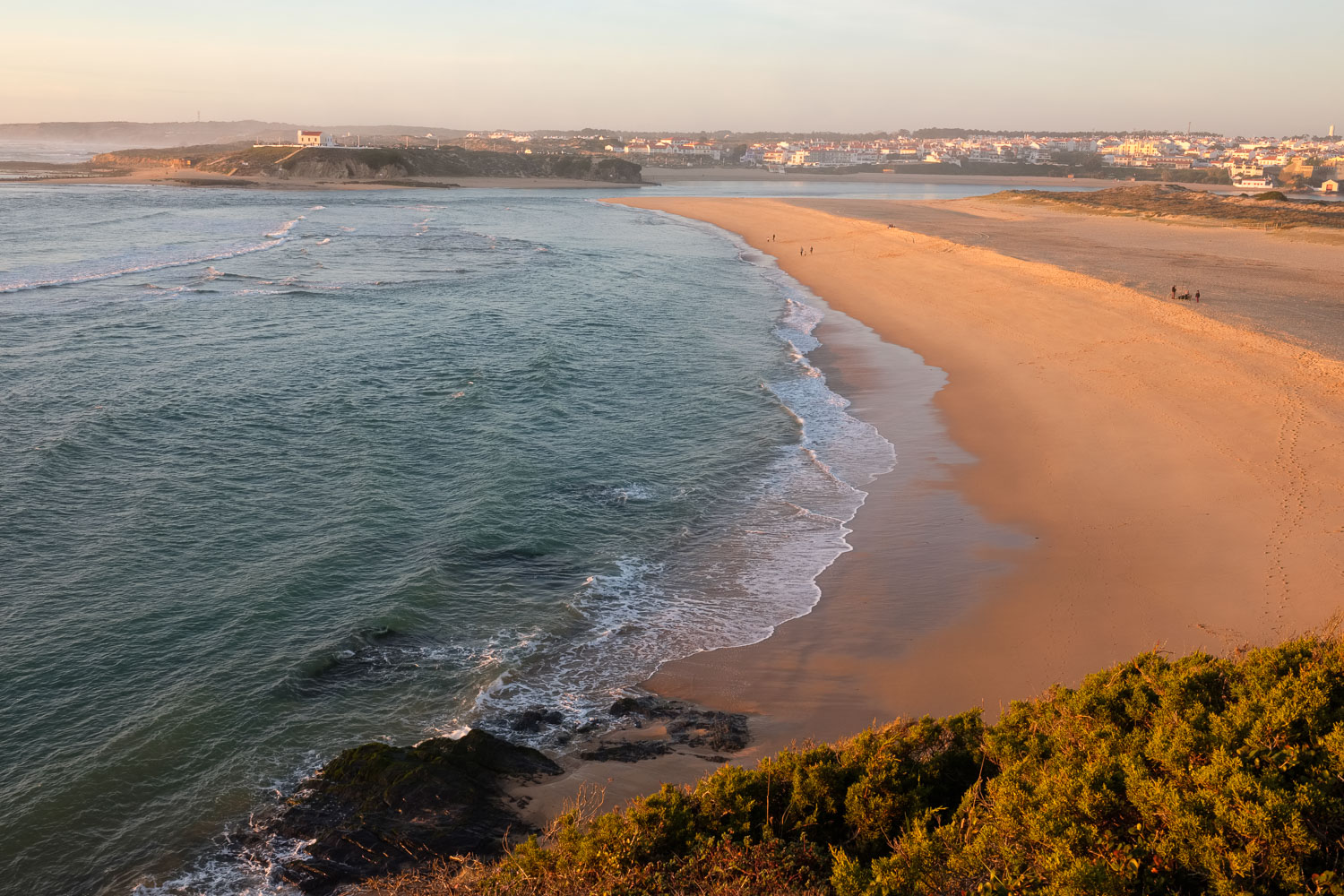
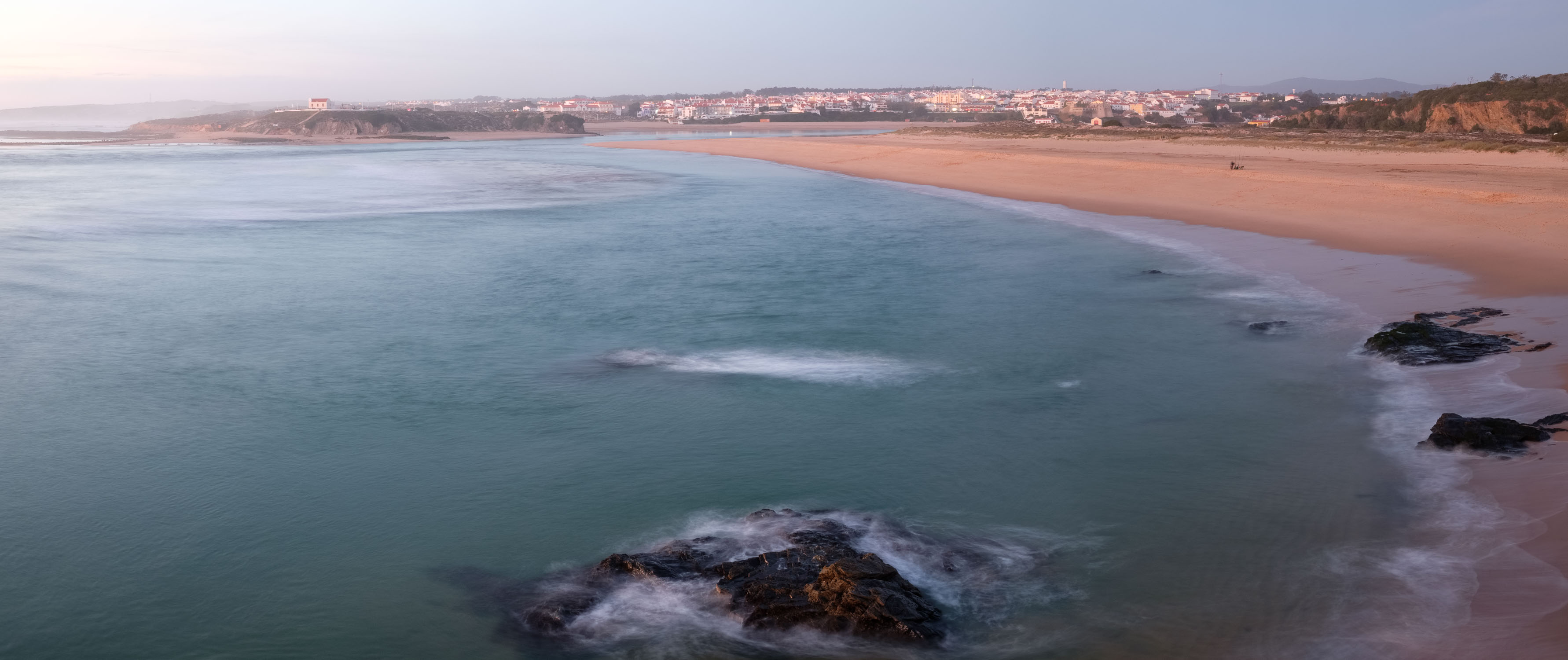
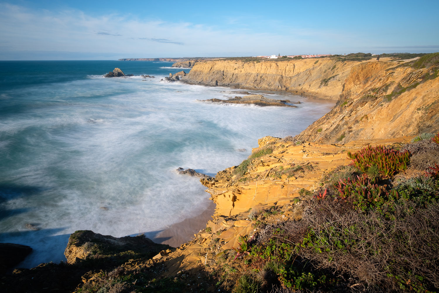
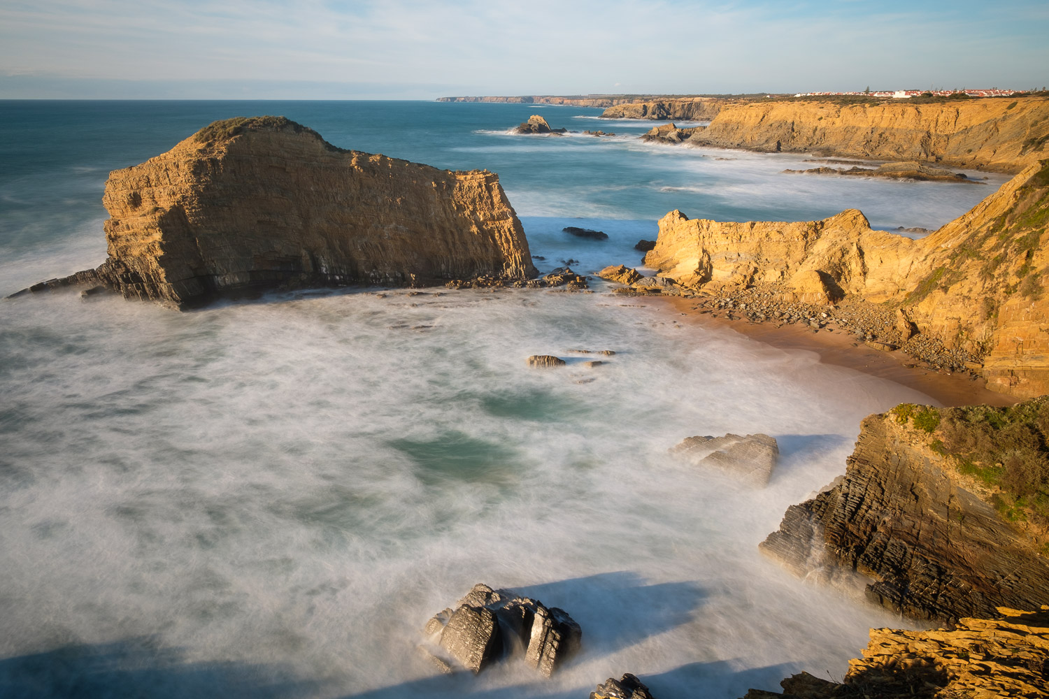
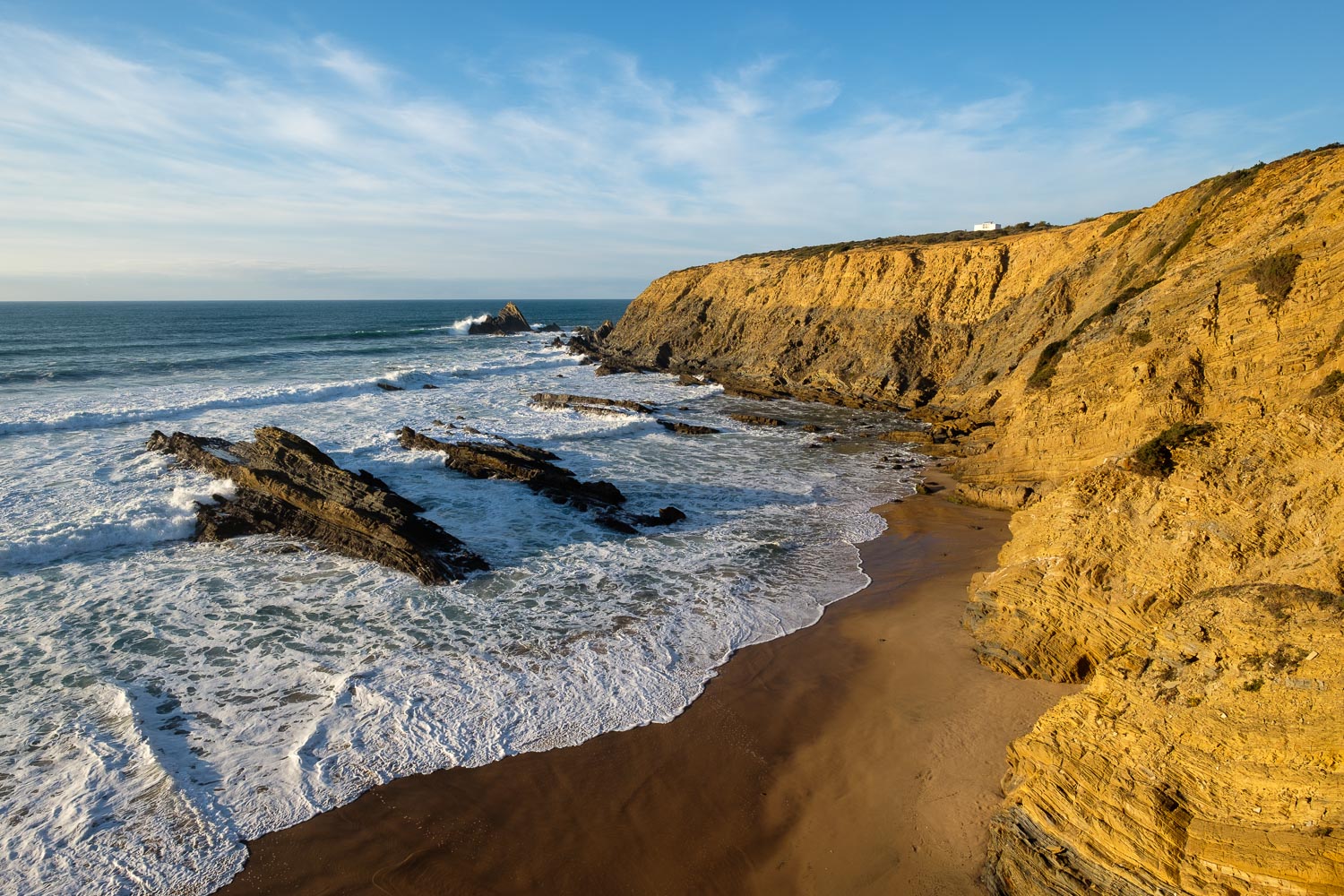
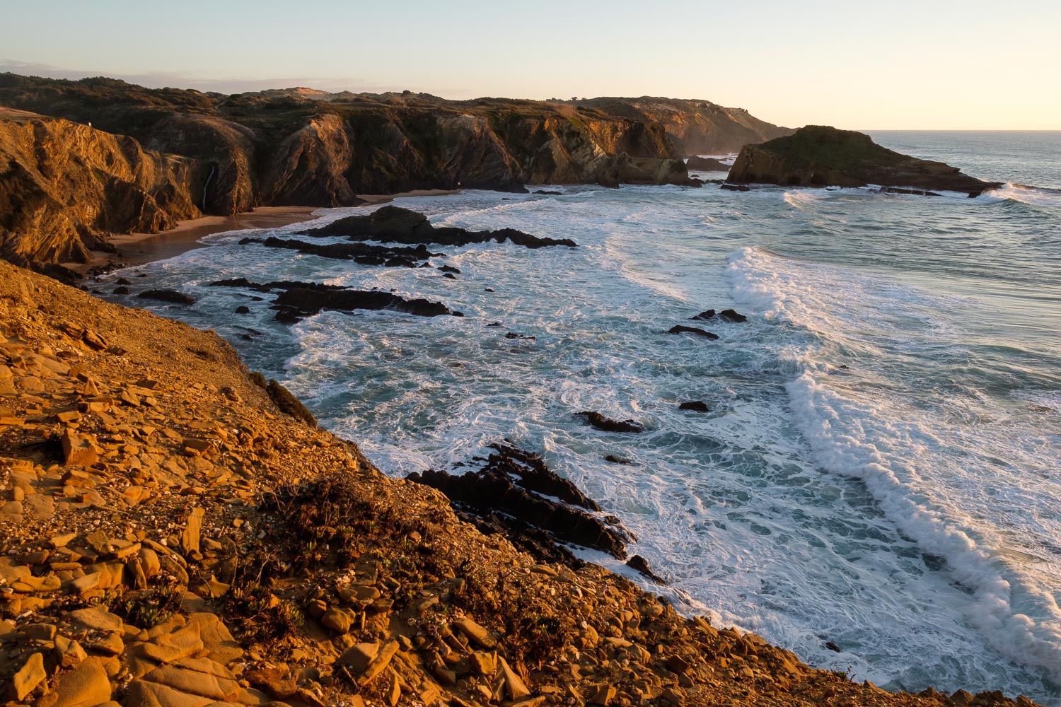
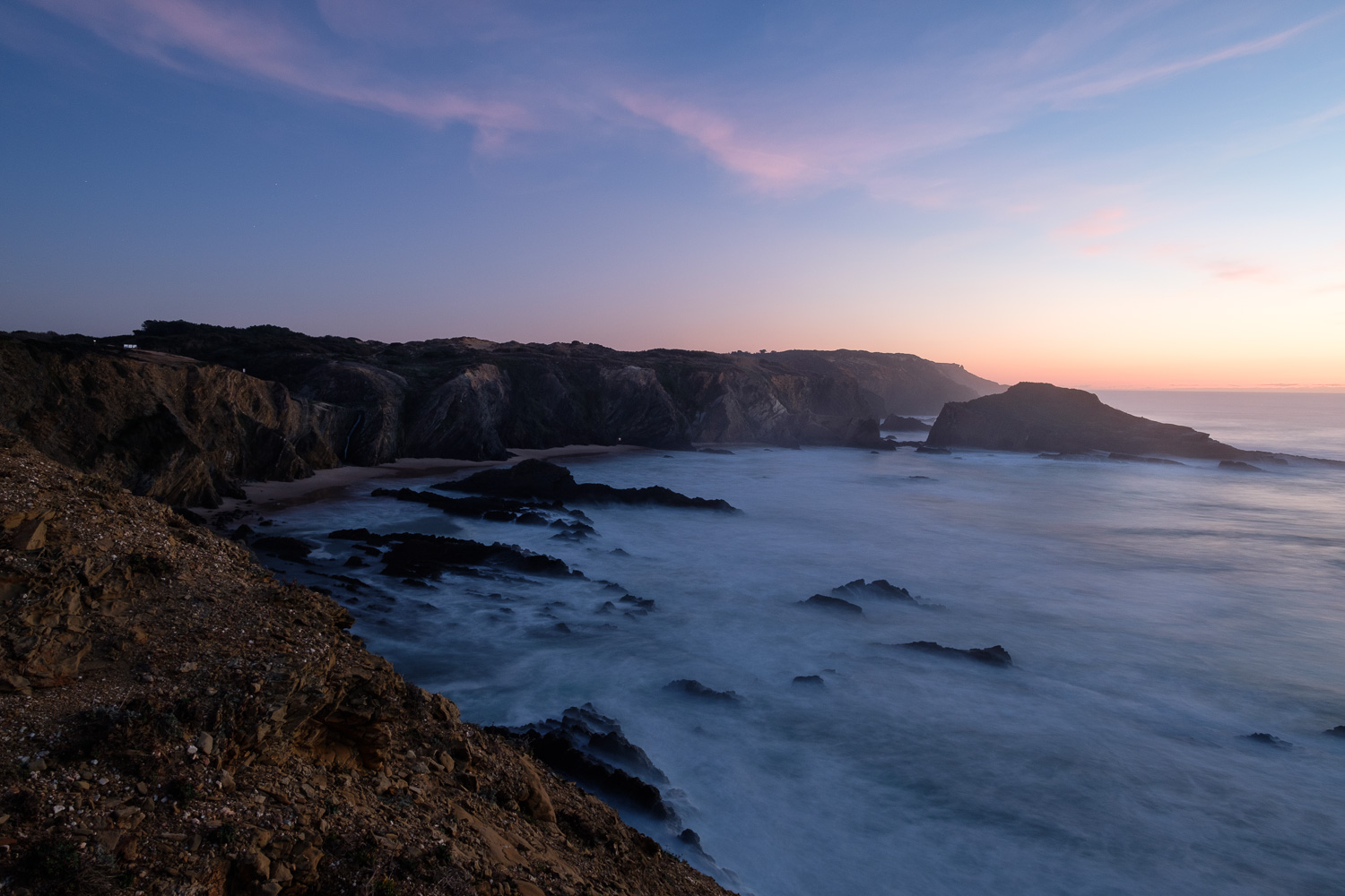
The principal attraction is of course the beach, secluded between rocky spurs, that provide protection against the often rough sea and northerly winds. The topography is familiar to those that know the area – the coast in the region offers a string of several beaches separated by cliffs of Palaeozoic rock formations of variable colour. While in Cabo Sardão to the North the dark rocks dominate, here the prevalent colour is yellow, which makes for a nice contrast with the blue sky and blue green water of the sea.

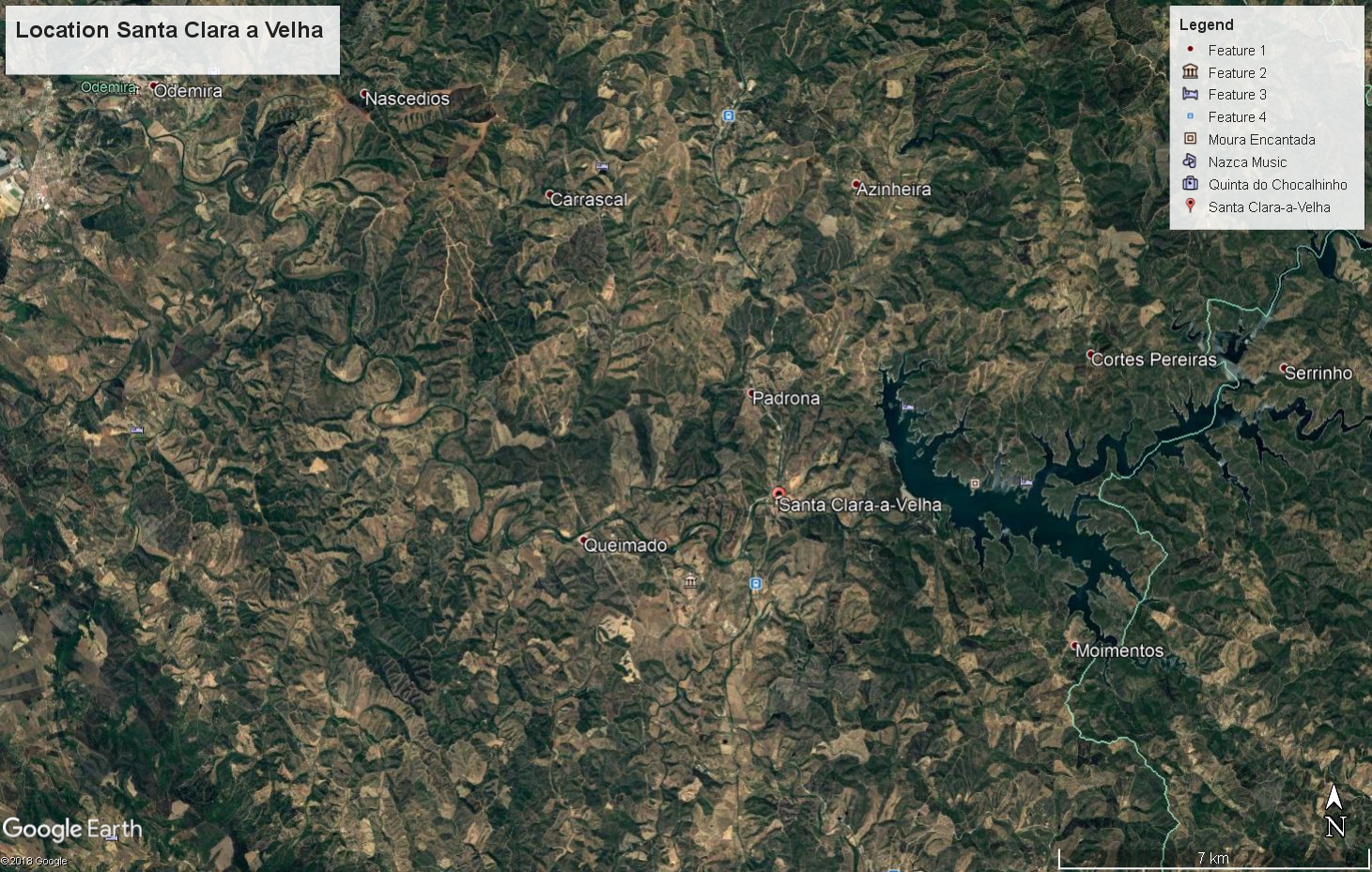
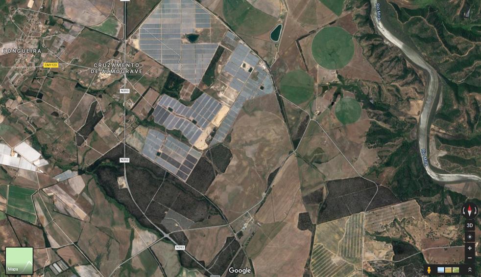
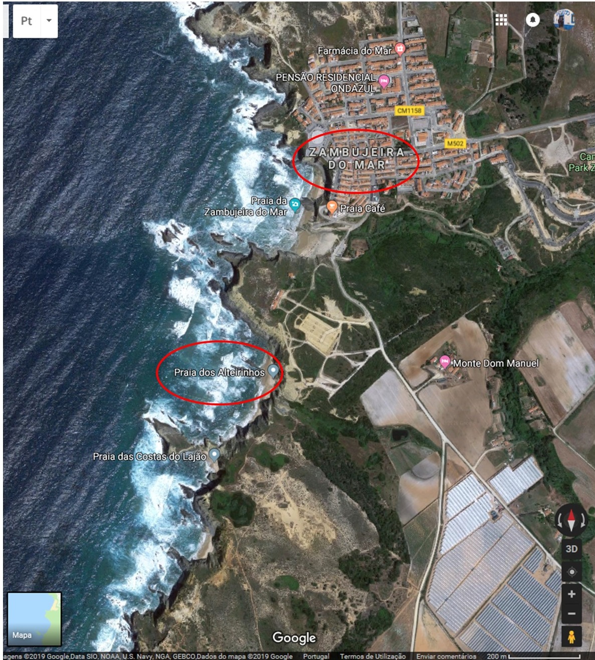
I am preparing an image portfolio of the most interesting locations in Odemira’s municipality, and I was surprised to see that I had very few photos of Zambujeira. I normally shoot more often between Cabo Sardão and Milfontes to the North. This was something I needed to correct, so I arranged for a short trip during the weekend. My plan was to take a walk between Zambujeira and Alteirinhos, the first beach south of the village. You can see the map for a simple location.

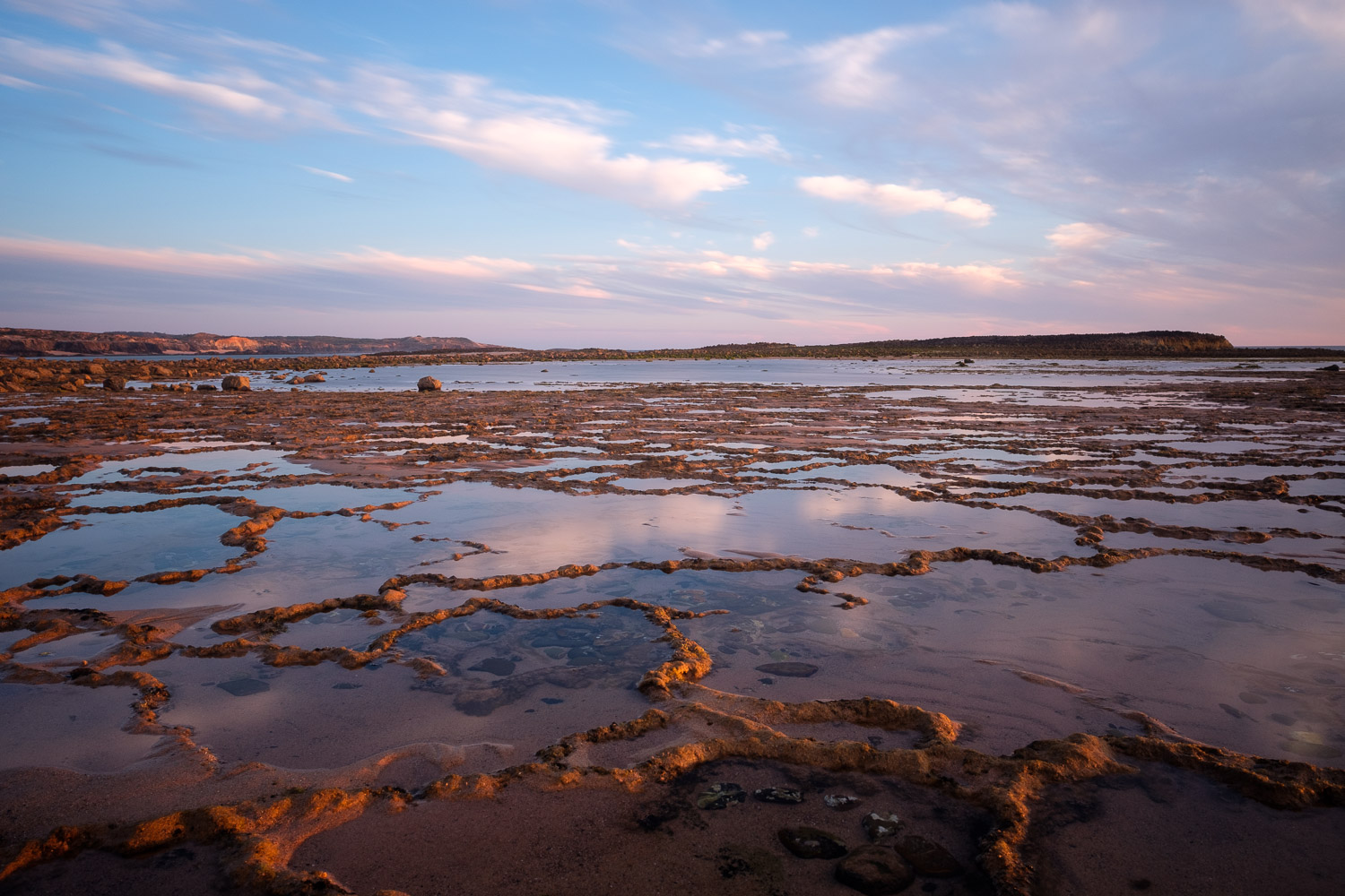
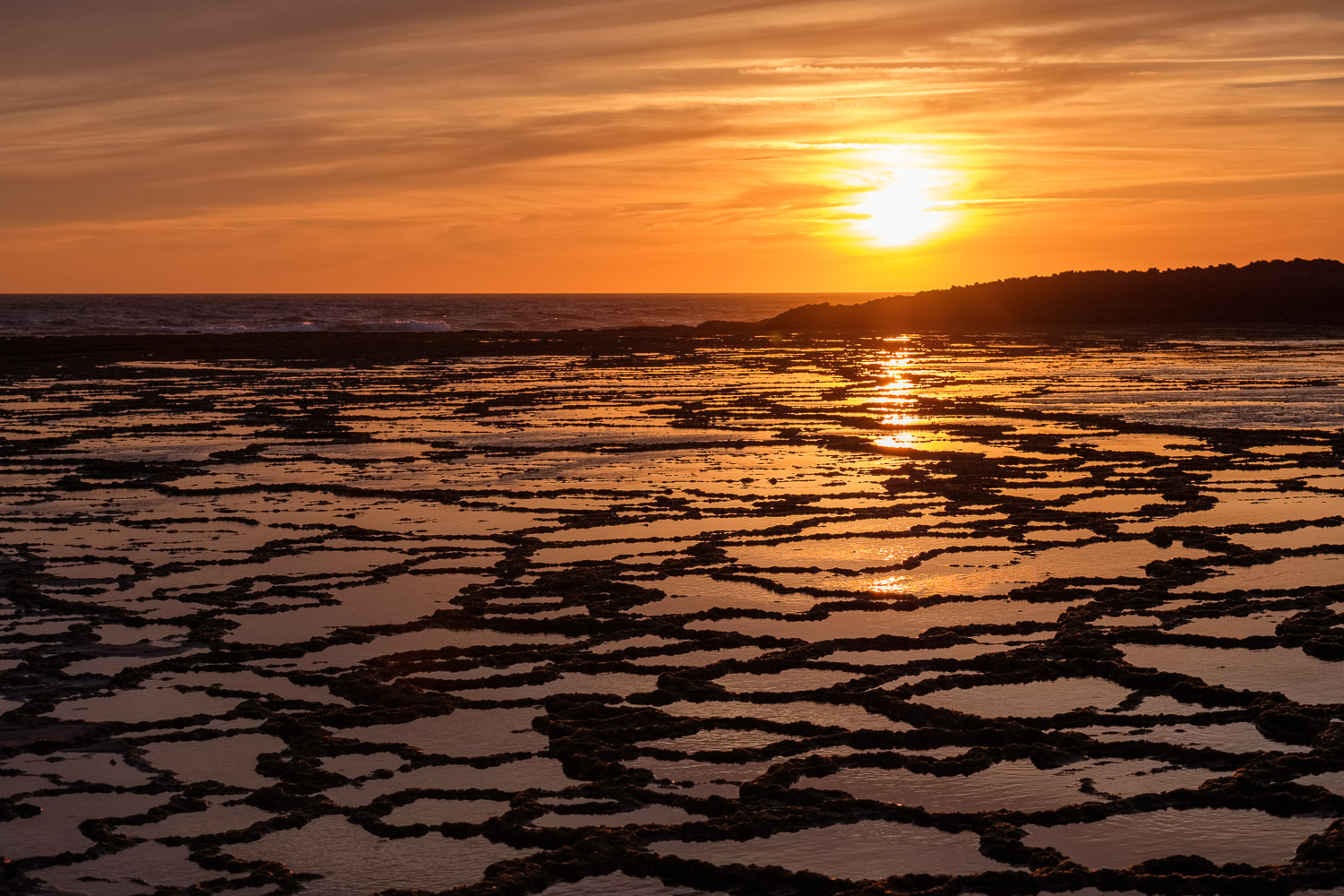
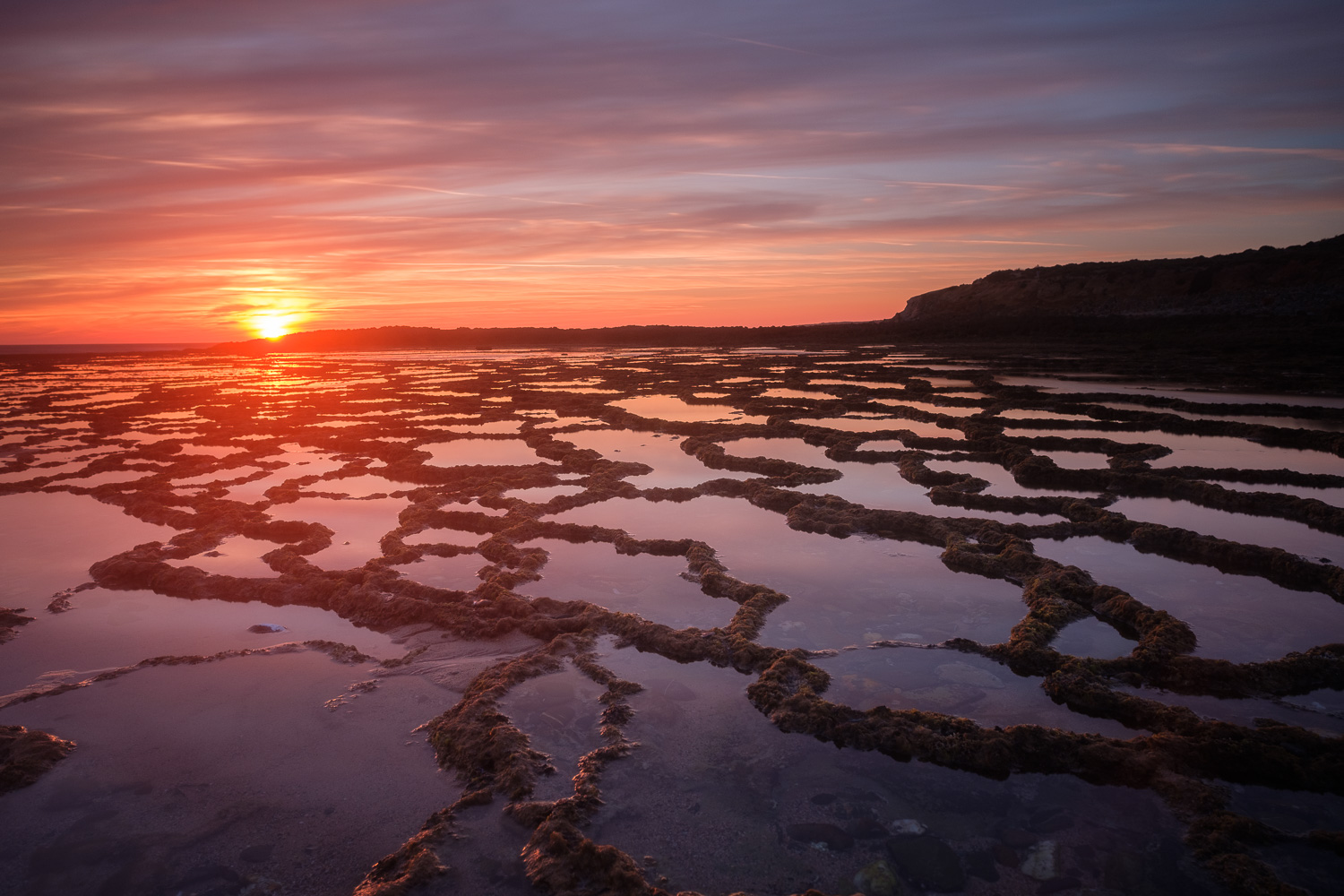
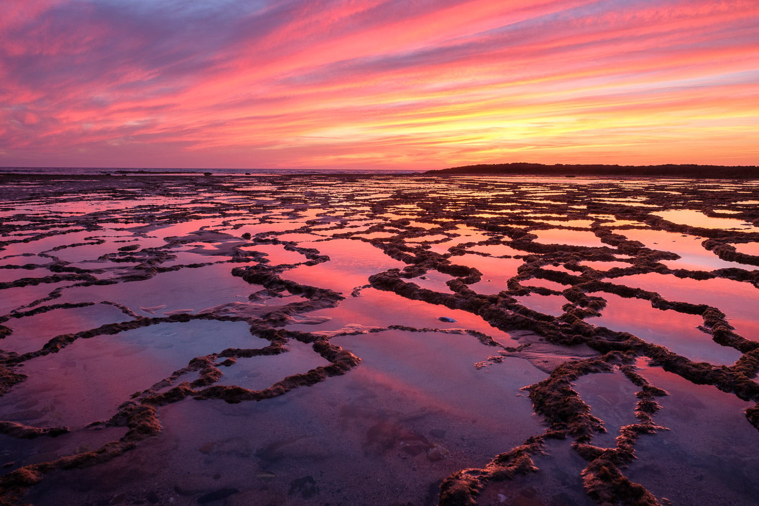
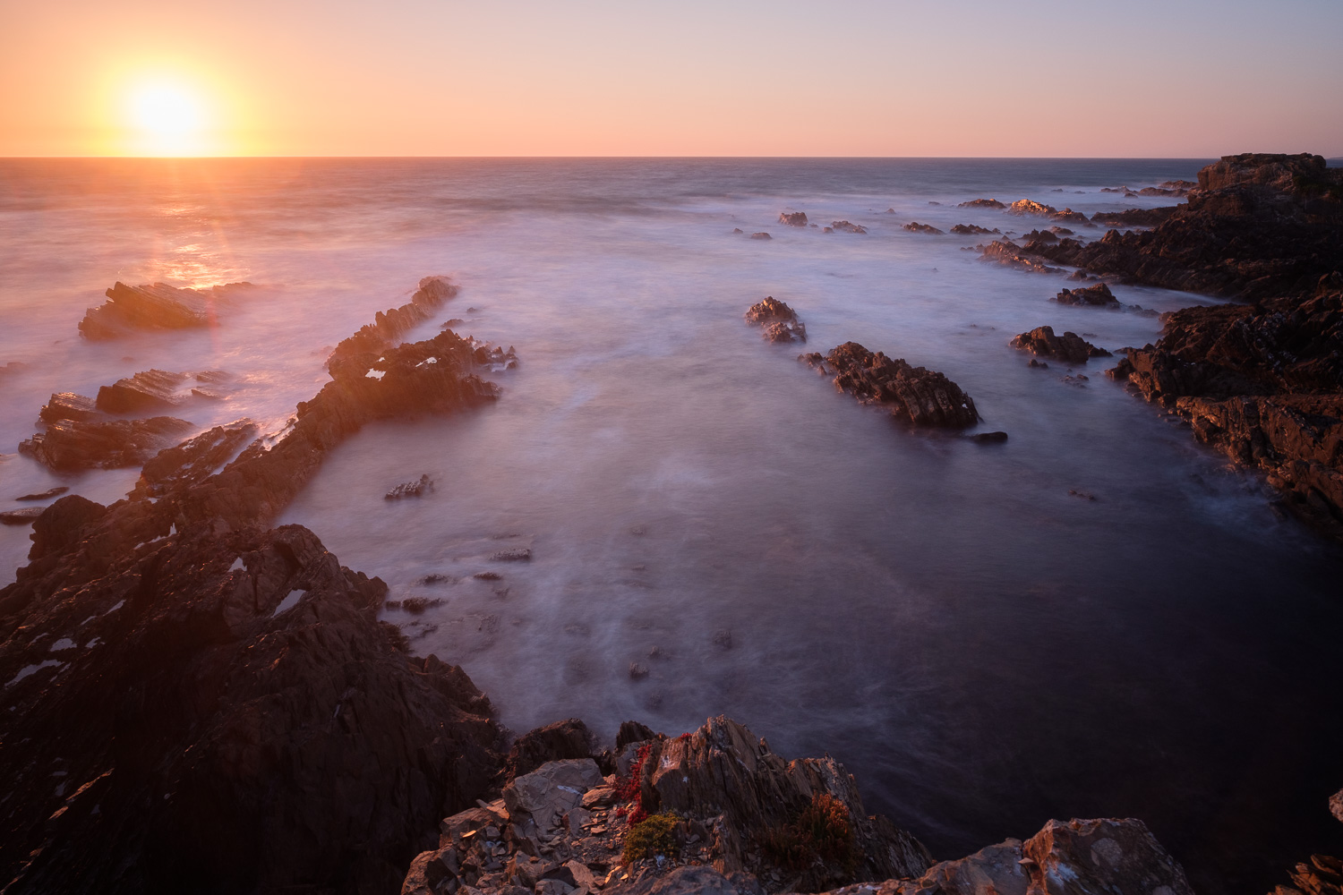
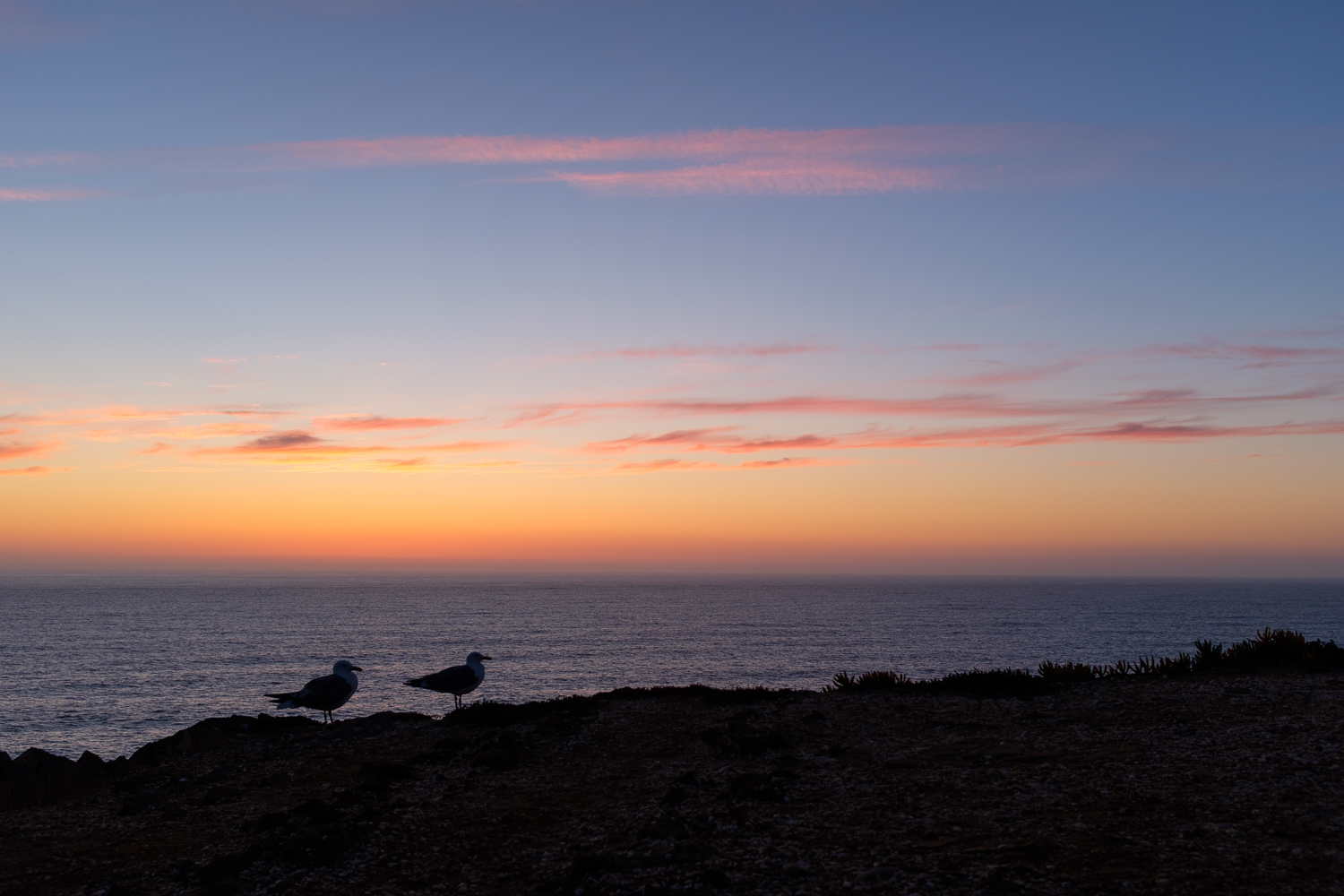
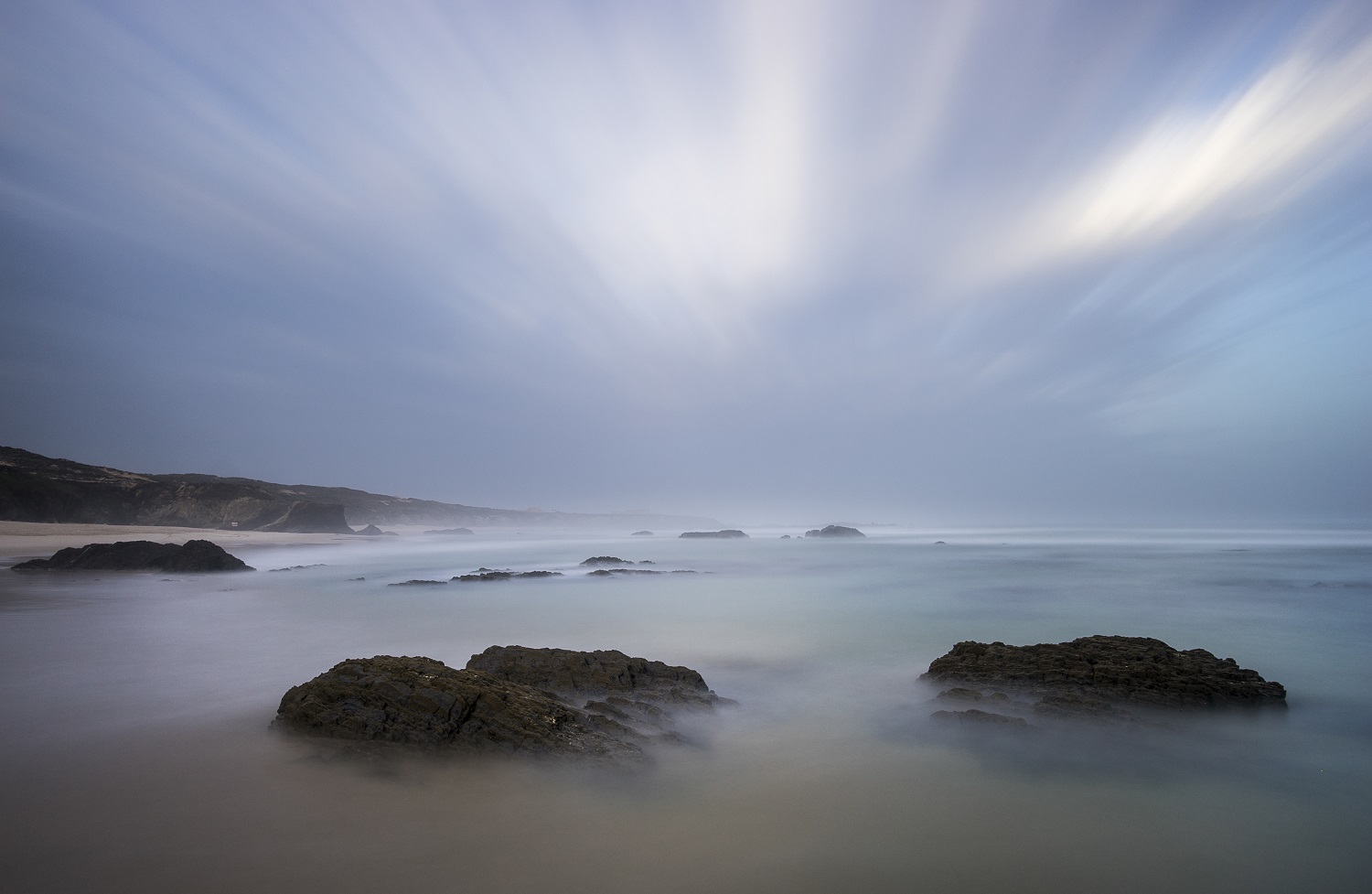
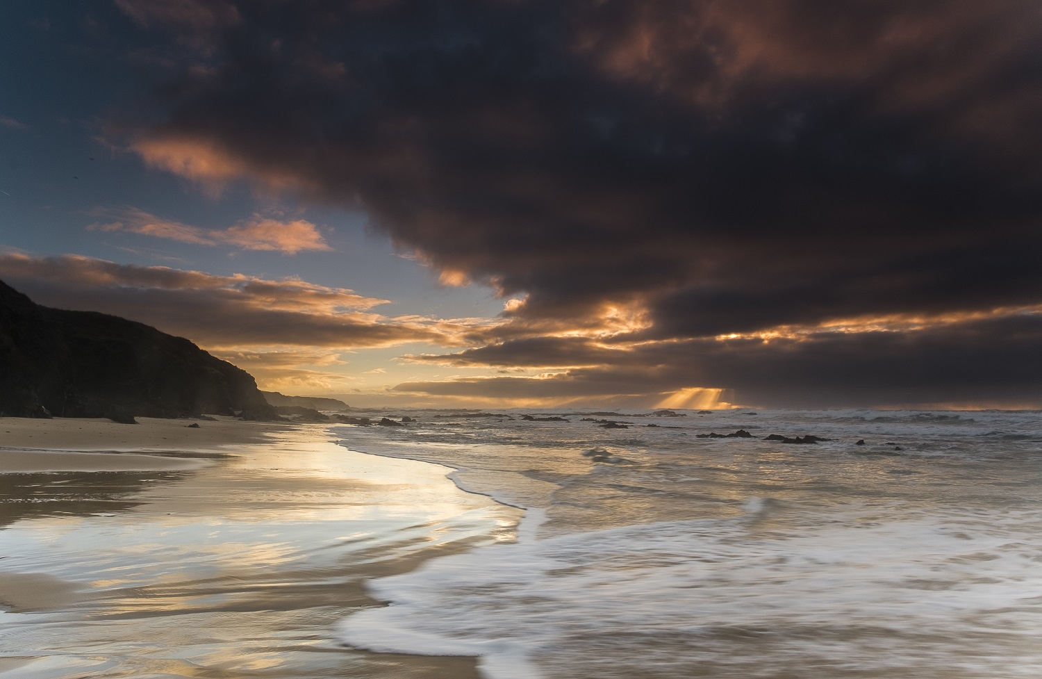
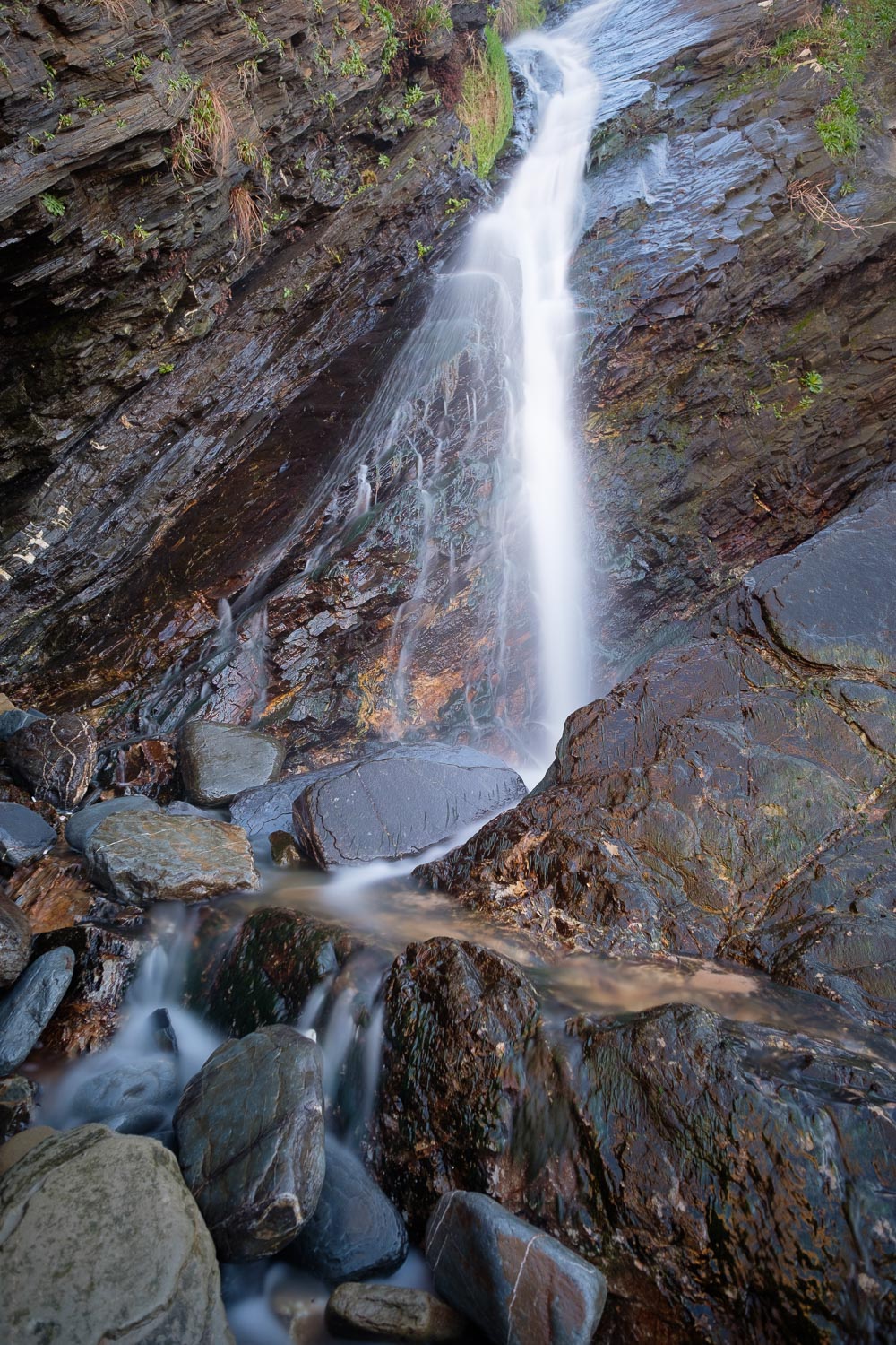
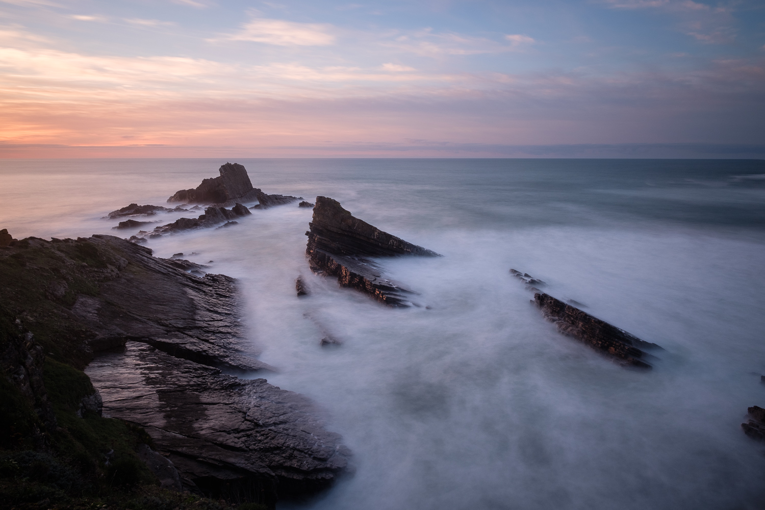
I wanted to photograph during golden and blue hours, that is, around and after sunset. The scenery is beautiful, and suitable for long exposures of the sea against the rough cliffs. It also helped that there were some clouds to provide some colour and interest in the sky. For this trip, I simply took my Fuji kit (Fujifilm X-T2 and Fujinon 14 f2.8 lens) and tripod plus Lee Big Stopper filter. My first stop was at the Alteirinhos beach, where I was surprised to find a waterfall; the tide was coming in, but I was able to set up my tripod and take a few shots, testing several exposure times to see how the water flow would come out. I then spend some time exploring different viewpoints from the beach, and was happy with the results.
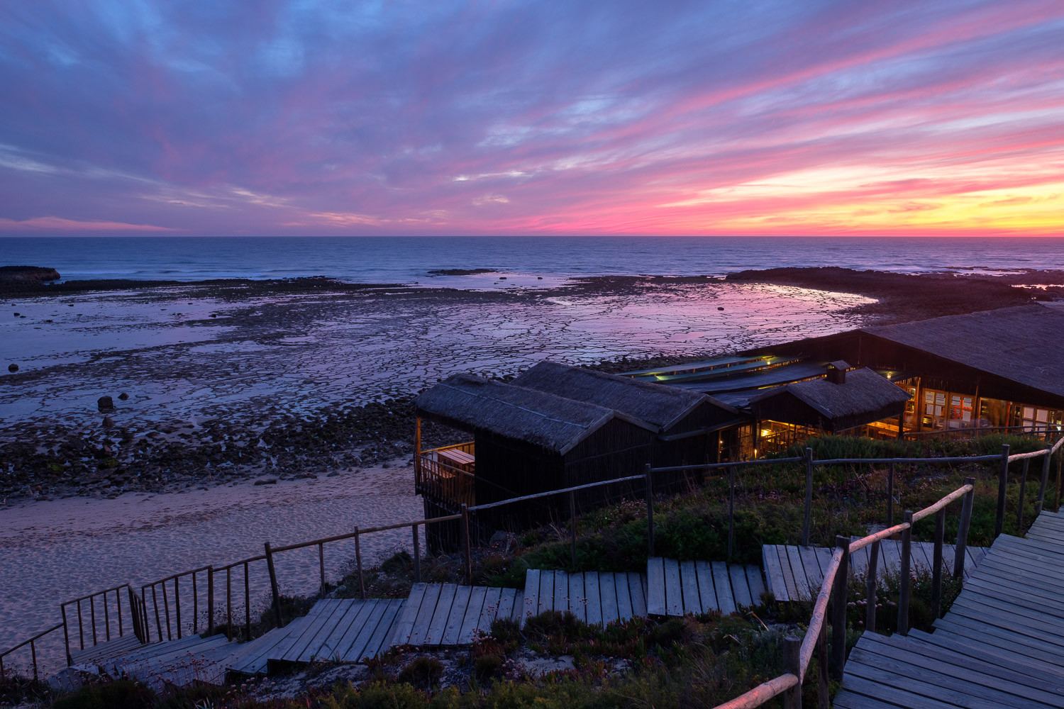
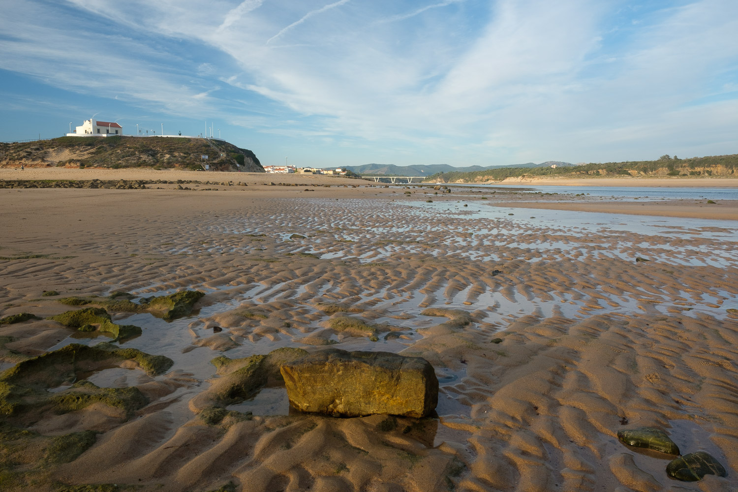
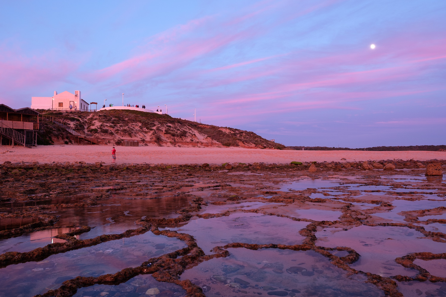
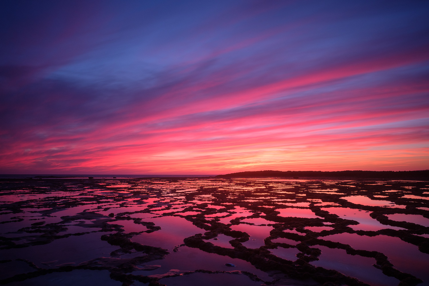
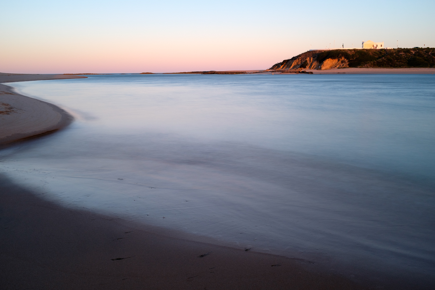
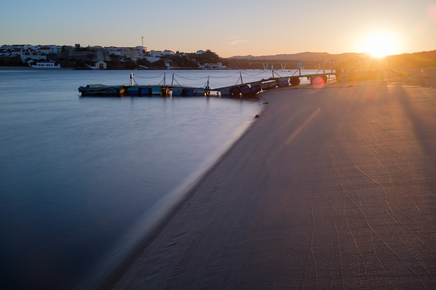
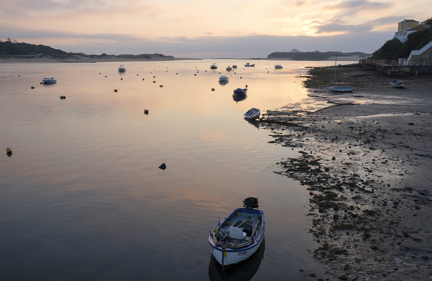
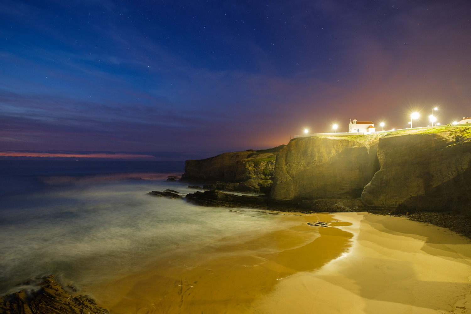
It is easy to loose track of time, and sunset was approaching quickly. I made my way back to Zambujeira, as I wanted to photograph the village and the beach. I shot several compositions and different exposure times, well into the night, as the Moon had risen and was bright in the sky. I ended my trip simply seating near the small chapel of Nossa Senhora do Mar (Our Lady of the Sea), at the top of the cliff, and looking West, into the ocean. A perfect way of finishing a wonderful photographic session.

Location map
Location map
Waterfall in Alteirinhos beach
Alteirinhos beach - looking North
Alteirinhos beach – looking North
Alteirinhos beach - looking North
Alteirinhos beach – looking North
Alteirinhos beach
Alteirinhos beach
Alteirinhos beach - looking South
Alteirinhos beach – looking South
Sunset and cliffs
Sunset and cliffs
Zambujeira do Mar
Zambujeira do Mar
Alteirinhos beach at sunset
Zambujeira do Mar at sunset
Zambujeira do Mar blue hour

Winter landscapes around Odemira, SW Portugal

In my previous post, I wrote about the beautiful walk between Almograve and Cabo Sardão, along the coast of Alentejo. Today, I want to take you a few km inland, on a journey around the municipality of Odemira. More specifically, along the back roads that hug the hills between Odemira and Sabóia.

This area of the interior is characterized by gentle rolling hills, dotted with old farms, where sheep graze amongst cork and holm oaks. Thanks to recent rains, the pasture is green and abundant. The road to Sabóia is quiet, there are hardly any cars on it; it is easy to fall into a driving rhythm that is in synch with the landscape. Driving along, I stopped many times, simply to slow down and experience the peacefulness of the place,  slowly composing my photos. No need to rush!

I simply walked around the area, trying to find the best vantage point to photograph a farm house surrounded by the trees and green fields. At the start of the trip, the sky was cloudy and grey, therefore not very interesting in terms of a typical landscape shot. So I concentrated on more intimate shots, of trees and grassland. The grass was particularly interesting, with vivid greens due to the rains.

My destiny for this trip was the small village of Sabóia, whit its interesting train station. Unfortunately, Portugal has not invested in the railways for a very long time, and that shows. The Sabóia station looks, and feels, like time has stopped; it has some beautiful azulejo panels depicting the village of Monchique in Algarve, and these are well preserved. But, similar to many other train stations in Portugal, it is deserted; I wonder what to do if I wanted to buy a ticket, as the building is closed…

The main building, and the surrounding supporting ones, are in dire need of a paint job, as a starting point. I walk around, no soul to be seen; nearby, I hear a tractor, someone is tending to the fields. Many houses in the vicinity of the station are abandoned. Looks like a ghost town…

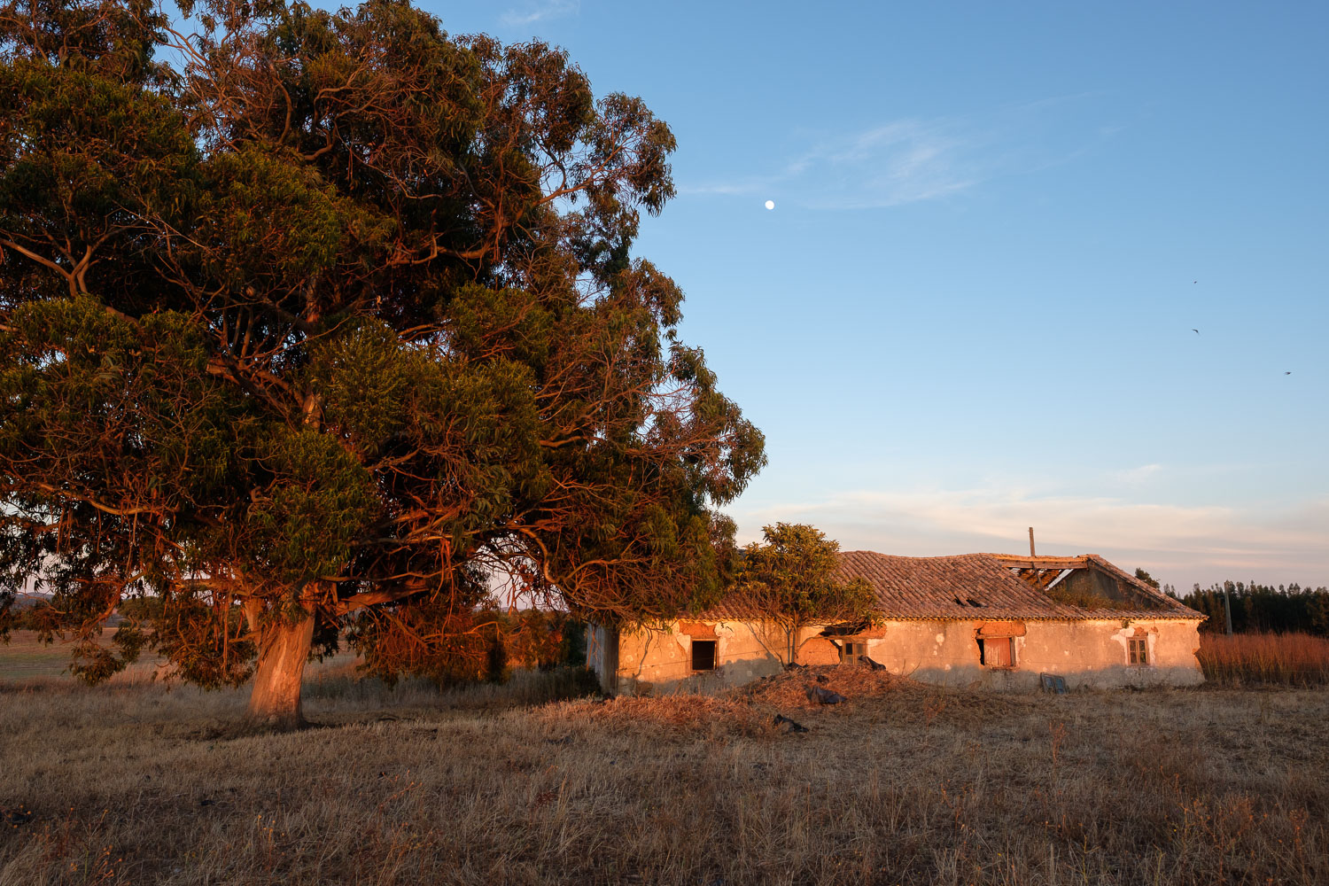
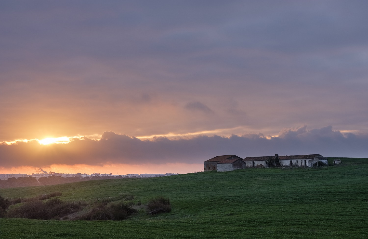
On the drive back, sometimes the sun breaks the cloud cover, and I wonder if I am lucky enough to still have some more interesting light at sunset. There is this farm house that I have been trying to photograph at sunset for quite some time; maybe today I think? Sunset in December is around 5.30 pm, so I need to hasten.

And indeed I am lucky, during sunset, the light is wonderful, and I bag the photo I wanted. A nice and inspiring way to finish a wonderful day in this area.


Farm at sunrise
Farm at sunrise
Tree and grass
Tree and grass
Looking
Looking
Farmland
Farmland
Winter fields
Winter fields
Station art
Station art
Abandoned
Abandoned
Parked
Parked
Support
Support
Waiting for the train
Farm at susnet
Farm at susnet


Between Almograve and Cabo Sardao

The trek between Almograve and Cabo Sardao, which is about 8km long, is part of the much longer (around 180km) “Rota Vicentina”, or Vicentina Trail. I recently had the opportunity to re-do this small walk, and took a few photos along the way, of course!

The date was late December, just after Christmas, a quiet time, and as a consequence I was the only one doing the walk. Especially during Spring and Summer, it can be busy. The trail is an easy one,  and affords great views of the coastal sand dunes, dark rocky cliffs, and the azure sea. The only sounds are the ones coming from the crashing waves, the sea birds, and the wind.

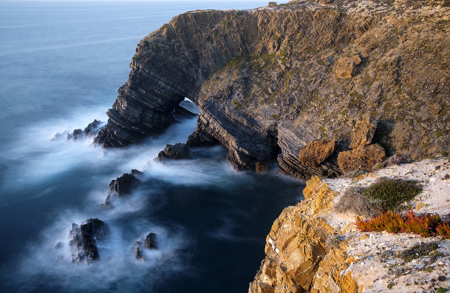
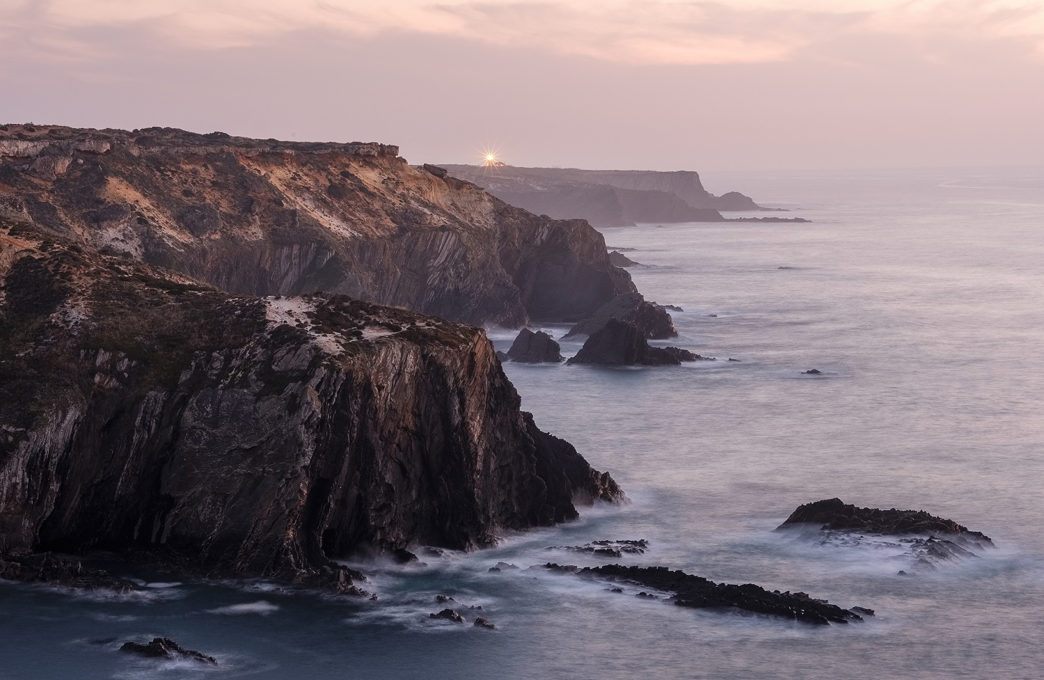
It often pays off to go a bit off the trail, and explore the small inlets and coves along the way. There are many photo opportunities along the way; I walked the trail in the afternoon and waited for the sun to set, to have some high quality landscape light. The scenery is beautiful, with dark rock formations emerging from the sea like menacing spurs, in plain contrast with the blue sea, white foam, and golden dunes. I spent some time playing with long exposures, to capture the interplay between the elements.
In some places, the dunes have been fossilized and display a rusty colour, thanks to the presence of iron oxide cements. In some other instances, the dunes are replaced by hardened calcrete soil, where the water has carved some round pot holes; in these, it is common to find some plants perhaps trying to get some shelter from the wind. Of course the birds are present all along the trail, particularly seagulls. In the distance it is also possible to see nests that belong to storks.
In the last couple of km it is possible to start seeing the lighthouse of Cabo Sardao in the distance, 70m above sea level. The coastal cliffs at sunset become enveloped in the winter haze, and the light in the lighthouse comes up precisely at sunset. It looks tiny in the distance, like a beacon marking the end of my journey.


Winter warmth
Winter warmth
Contrasts
Contrasts
Scars
Scars
The arch
The arch
The way down
The way down
Small life
Small life
The distant light
The distant light
Dawn
Dawn

Arrifana during Winter time

The Arrifana beach is one of the most famous in the Vicentina Coast of southwest Portugal. It is located close to the historic village of Aljezur. Thanks to its configuration in a crescent shape, protected between two rocky promontories, the beach offers some great waves. No wonder there are several local surfing schools that are active all year round.

Arrifana is one of my favourite beaches in Portugal; I visited the first time in 1988, and fell in love with it. To arrive at the golden sand, one has to descend along a hair pin road; it is a slow approach that allows great views of the beach. The entire coast south of Aljezur is dotted with (still) peaceful and wild beaches, all the way until the Cape of Saint Vicente, of Age of Discoveries fame. The coastline is made up of rugged tall dark cliffs, in sharp contrast with the sand and deep blue sea water. Due to its general exposure to the Atlantic, it is normal to have some rough seas and strong northerly winds.

I recently decided to make a small trip to Arrifana, scouting for new possible photo locations, taking advantage of the increasing number of trekking routes in the area. Also, in early December, the place is much more quiet, and the light has a different character.

On the beach, I only had for company some surfers, and their nice dogs. Great place for a picnic, reading a book, and strolling around beach combing! I took some nice photos, using my trusty Fujifilm X-PRO2 and small 23 f/2 lens, a perfect combination for such relaxed occasions. At the end of the day, from the northern view point near the old castle ruin, I took a few shots that later were assembled as a panorama. I also came back with ideas for future trips in the area, that are in the plan for 2019!

Happy New Year, full of health and photo opportunities!

Going surfing
Going surfing
Waiting
Waiting
Low tide
Low tide
Style
Style
Arrifana - Panorama
Arrifana – Panorama


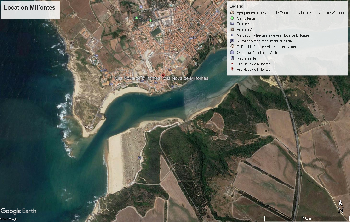
Autumn sunset in Milfontes

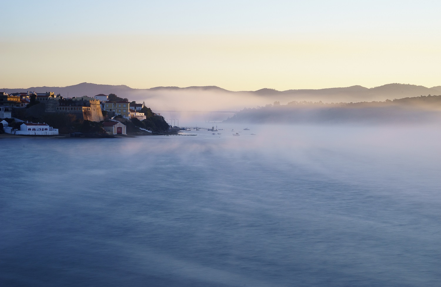
If you decide to spend some days, or simply visit, Milfontes during the Summer, you may think that it is a very busy place; negotiating the beach going crowds can be challenging, particularly in August. Even then, the little village at the estuary of the river Mira, in Alentejo, will surprise you with many interesting rewards, thanks to its beauty, pristine beaches, and friendly inhabitants.
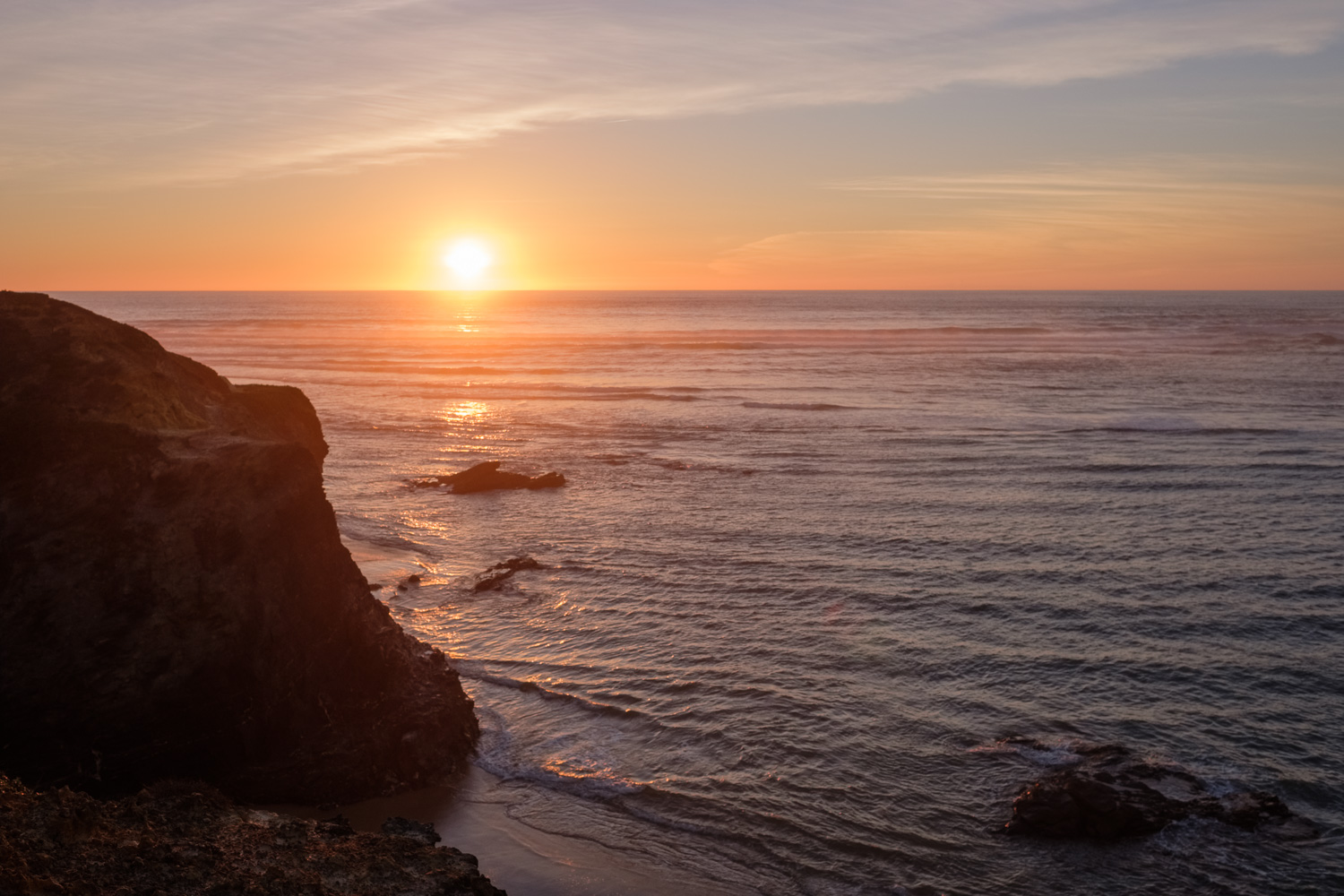
However, it is outside of the busy season that Milfontes provides the best and most tranquil experiences. Enjoying the many treks both inland or along the coast; boarding a boat trip upriver along one of Europe’s least polluted rivers; or simply watching a sunset. Such are the simple but nice things to do in a quiet November afternoon. Recently, a short wooden walkway has been built along the northern margin of the river, just beneath the Castle; this allows easy access to the river, especially during low tide.
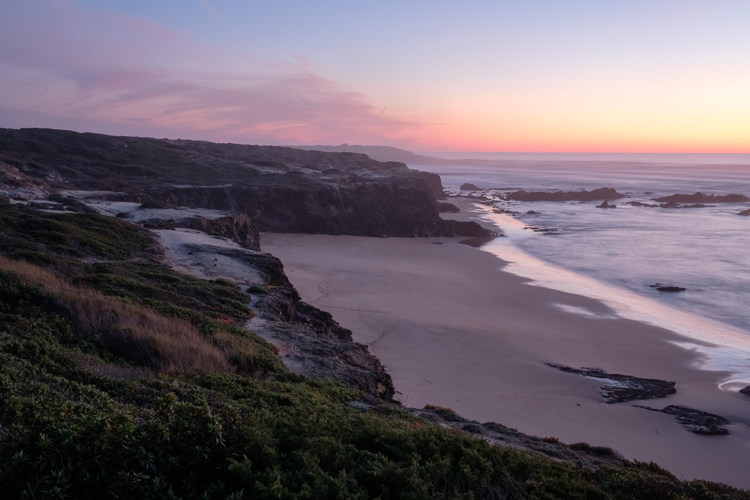
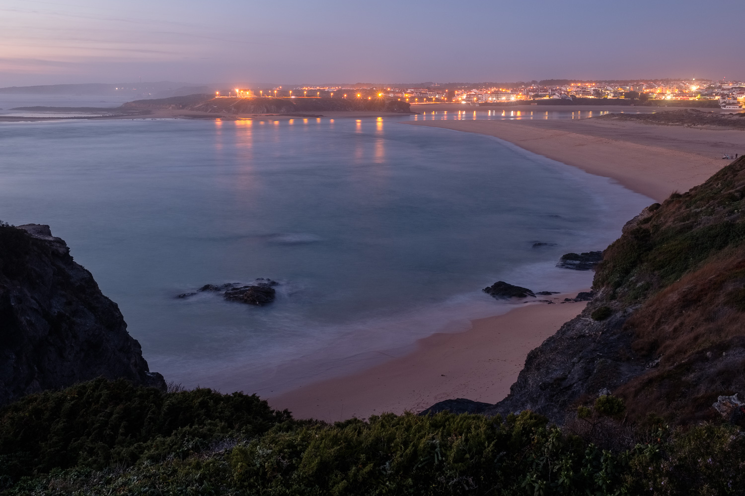
Such was my plan during my last visit a few days ago, that is, simply walk along the margin of the river, between the few boats that were ashore, and a couple of fishermen. At least one of the boats has been sitting there since 1998, when I first photographed it; now it is all but falling apart. Time almost seems to stand still, with the quiet waters reflecting the colours of the setting sun, and a few paddlers returning to the pier before nightfall. I just sit still, with the water lapping against the pier and the nearby boats, while the sun finally sets in the horizon, thus ending another day in the village that has earned the appropriate nickname of “Princess of Alentejo”.

Boat at low tide
Boat at low tide
Old and rusting
Old and rusting
Catching bait
Catching bait
Peaceful
Peaceful
Colourful pair
Colourful pair
Paddling
Paddling

Trekking in Troviscais, Odemira

The municipality of Odemira, in the coastal Alentejo region, is rich in trekking possibilities. In later years, an effort has been made to increase the number of sign – posted pedestrian circuits, which allow the visitors to get acquainted with a unique countryside. Odemira offers the possibility of experiencing the interior mountainous areas (or Serras) in close contact with the coastal regions. This brings together a very peculiar heritage and ways of living, as the local population masters both farming, animal husbandry, and fishing, for example.

In this instance I am going to write about a trek I recently made near the small village of Troviscais, well inside the mountainous countryside. This circuit is labelled as PR3 ODM, is 11.5 km long, and is categorized as “difficult” due to the topographic profile (from 200m high to 0m, and back to 200m).

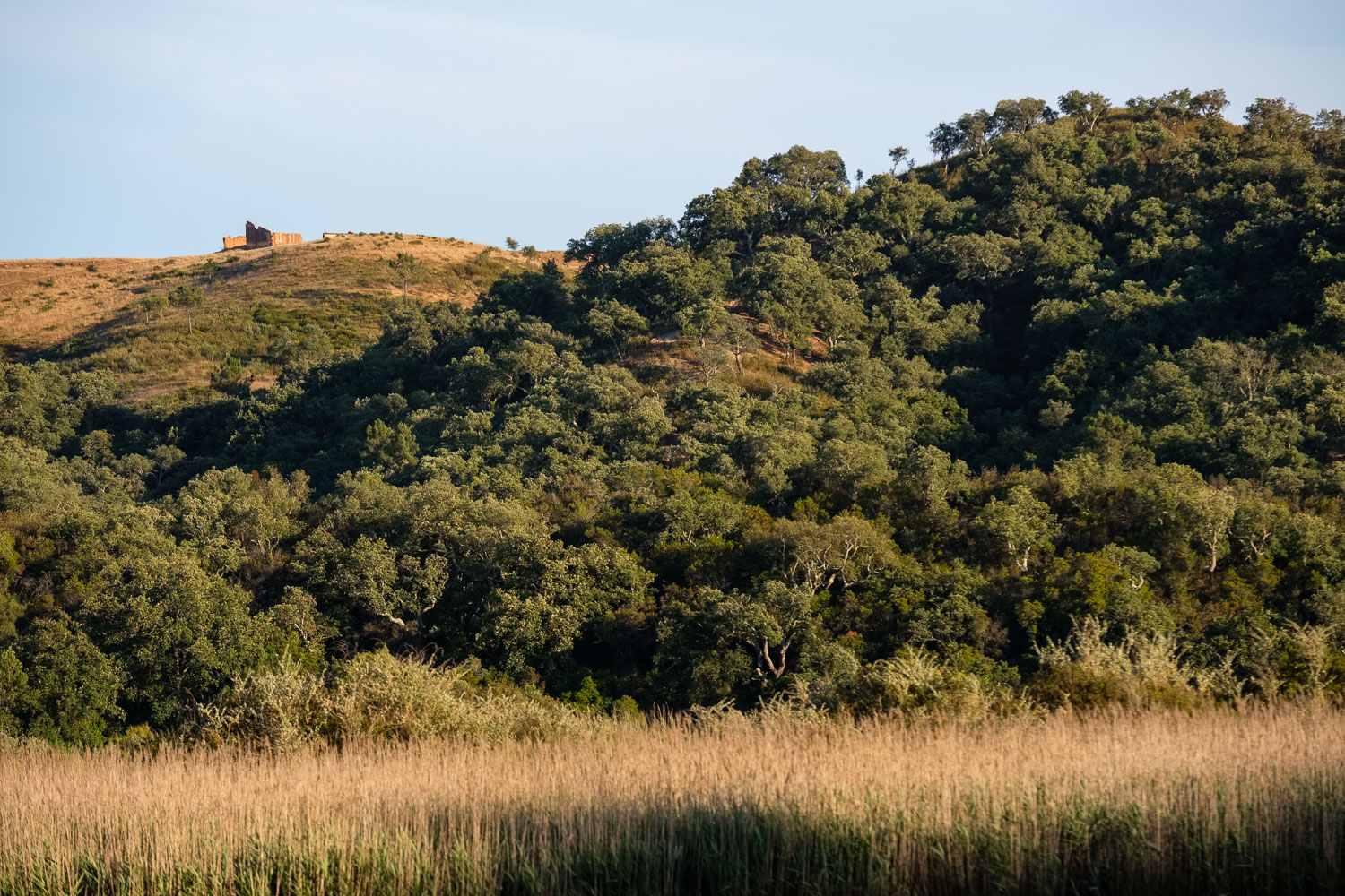
The trip starts in this village, which is surrounded by cork oak and holm oak fields, interspersed with oaks that provide the acorn feed for the famous porco preto breed (black pig). This type of Mediterranean farming landscape is being revitalised, in opposition to the vast plantations of eucalyptus trees, which are less fire resistant. They also provide the sort of smaller scale production that is typical of the local communities.

It had rained the previous day, so everything looked fresh and with vivid colours. The path starts to climb towards the highest point of the trek, which offers great views to the southern Serras, climbing in the haze towards Monchique (at 900m altitude) in the hazy distance. Somewhere nearby, peaceful cows graze in the pasture. One of the most interesting parts of the trip starts as we begin to descend towards the river Mira; this is a less used part of the rural path, taking us into a genuine Mediterranean wood, with abundant oaks and Arbutus trees. The latter hold abundant red and orange ripe fruits, which are very photogenic and tasty! The arbutus fruit, called medronho in Portuguese, is locally used to make a special aguardente, or brandy.

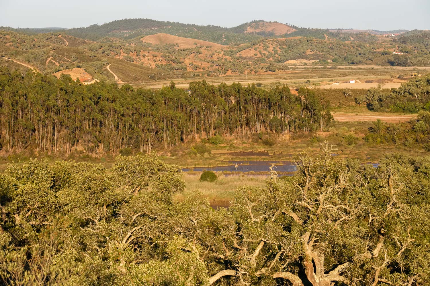
At the final approach to the river Mira, the path becomes more elusive, as it winds its way around several lagoons where oysters are cultivated. This is part of a recent (2013) project that reactivated an important activity from the 1960’s and 1970’s. Most of the cultivated oyster is from Japanese origin, the Cassostrea gigas. Yearly production is around 1,000 tonnes, and most of it is exported to France. It is interesting to see how the water from the river is diverted into artificial lagoons. The silence is only perturbed by the cries of the birds; by the way, this is a prime area for bird watching, with several species of migratory birds, such as the pisco-de-peito-azul (bluethroat). This stretch along the river is indeed one of the highlights of the trek, and is a great place to picnic, as we are halfway along the trip.

From the river, the path starts to climb again, crossing some ruined and abandoned houses, but also some new ones that are hidden in the woods. As we climb, the views over the river valley are beautiful. From this place, it is a straight walk back to Troviscais, under menacing and brooding skies that promise thunder and rain. Luckily, they were just that (menaces), and we managed to reach Troviscais as dry as we had left in the morning.

For those wanting to visit the area, below is the link of the website that describes the trek, and from which more information can be obtained. This is a highly recommended trek, with plenty of interesting things to see and experience, well in the heartland of the region of Odemira. A fine example of “country and farm life near the coast”. It is part of the longer Rota Vicentina, a network of treks that hugs the entire coastline of SW Portugal.

Finally, in terms of photographic gear, I travel light these days, and only took with me the following: Fuji X-Pro2 with 23 f2 lens; Fuji X-H1 and 56 f1.2 lens. Nothing beats the combination of a wide lens plus short telephoto lens.

http://pt.rotavicentina.com/etapa-troviscais-ao-mira-2610.html

Near the start
Near the start
Over the hills and beyond
Over the hills and beyond, looking South
Arbutus fruit
Arbutus fruit
Half way through
Half way through
Oyster cultures
Oyster cultures
The river Mira
The river Mira
Ruined house
Ruined house
Abandoned
Abandoned
View over the Mira valley
Typical house
Typical house
Leaden skies
Leaden skies
Brooding storm
Brooding storm

A lazy afternoon stroll

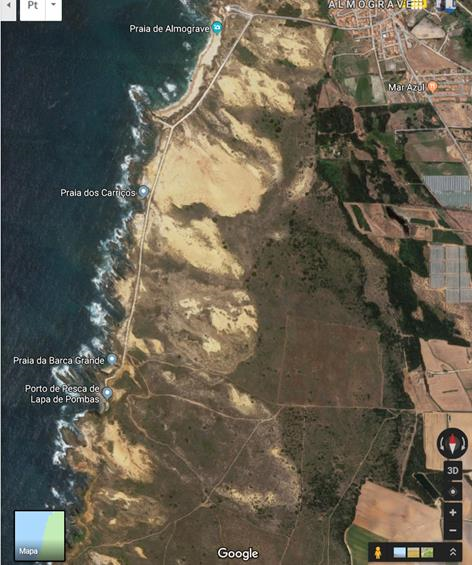
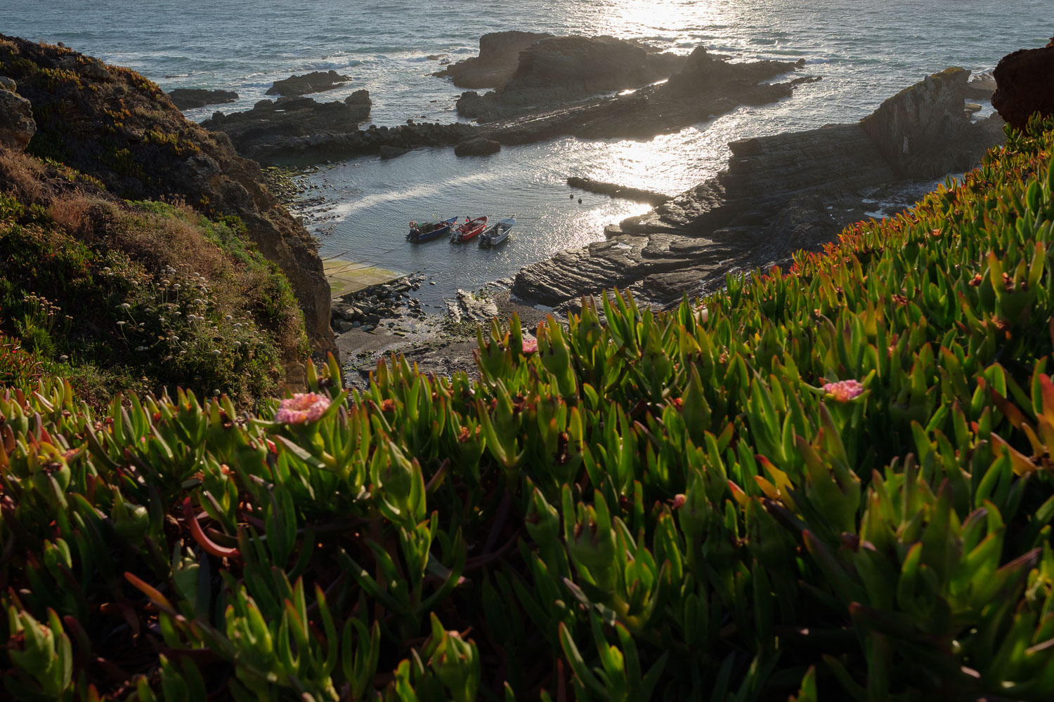
The distance between Almograve and Lapa de Pombas is not big, at 2 km. There is even a dirt road along the coast connecting the beach with the small fishing inlet. It makes for a perfect lazy afternoon walk, admiring the beautiful coastline, where the cliffs are constantly being carved by the action of the sea and the wind.

The light during Autumn is always special, and after some recent rains, the colours of the sand dunes, rocks, and cliffs had seemingly taken a new life. Deep blue skies with some clouds and haziness also created some interesting light against the mist coming from the waves.

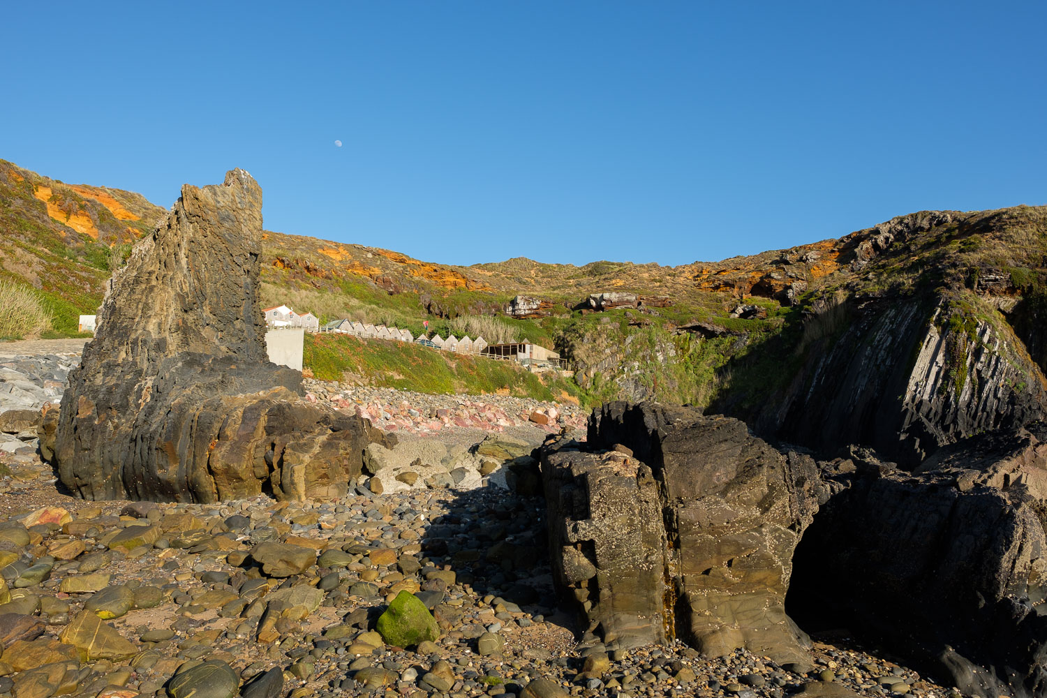
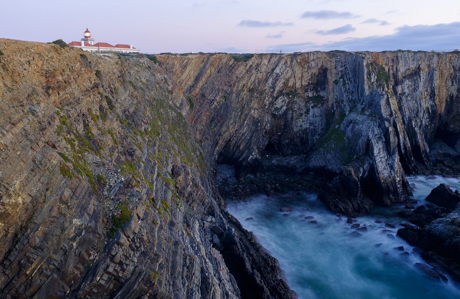
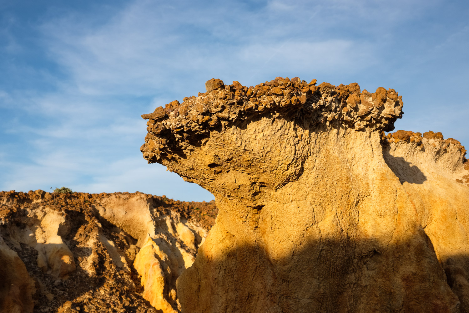
Gone are the summer crowds, so it is possible to enjoy the quietness of the place. There are the occasional fellow strollers, or fishermen trying their luck on the cliffs. This stretch of coastline holds many small coves, where often the geology controls the topography with abundant folding of the Palaeozoic rocks. As time passes by, erosion simply carves the rock and reveals the inner structure of the landscape in numerous folded strata. These make for very interesting shapes and textures, which are enhanced by the sidelight illumination.

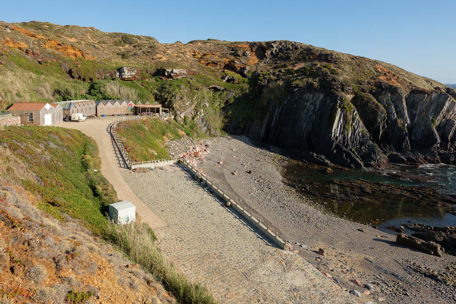
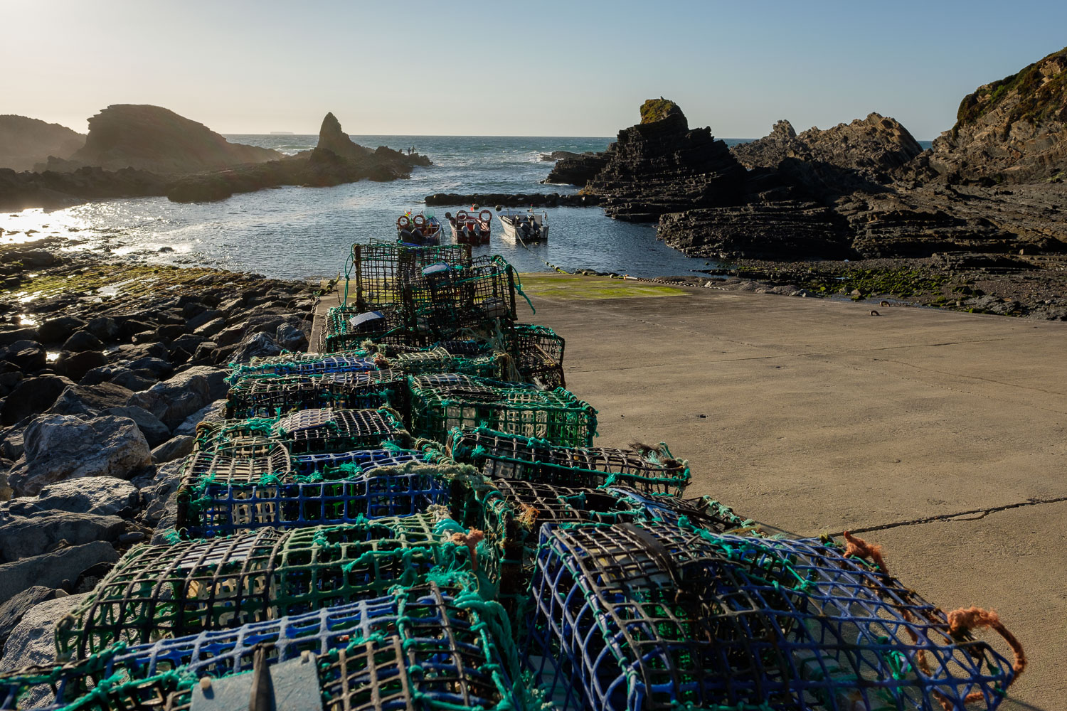
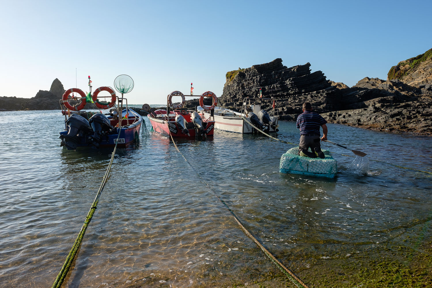
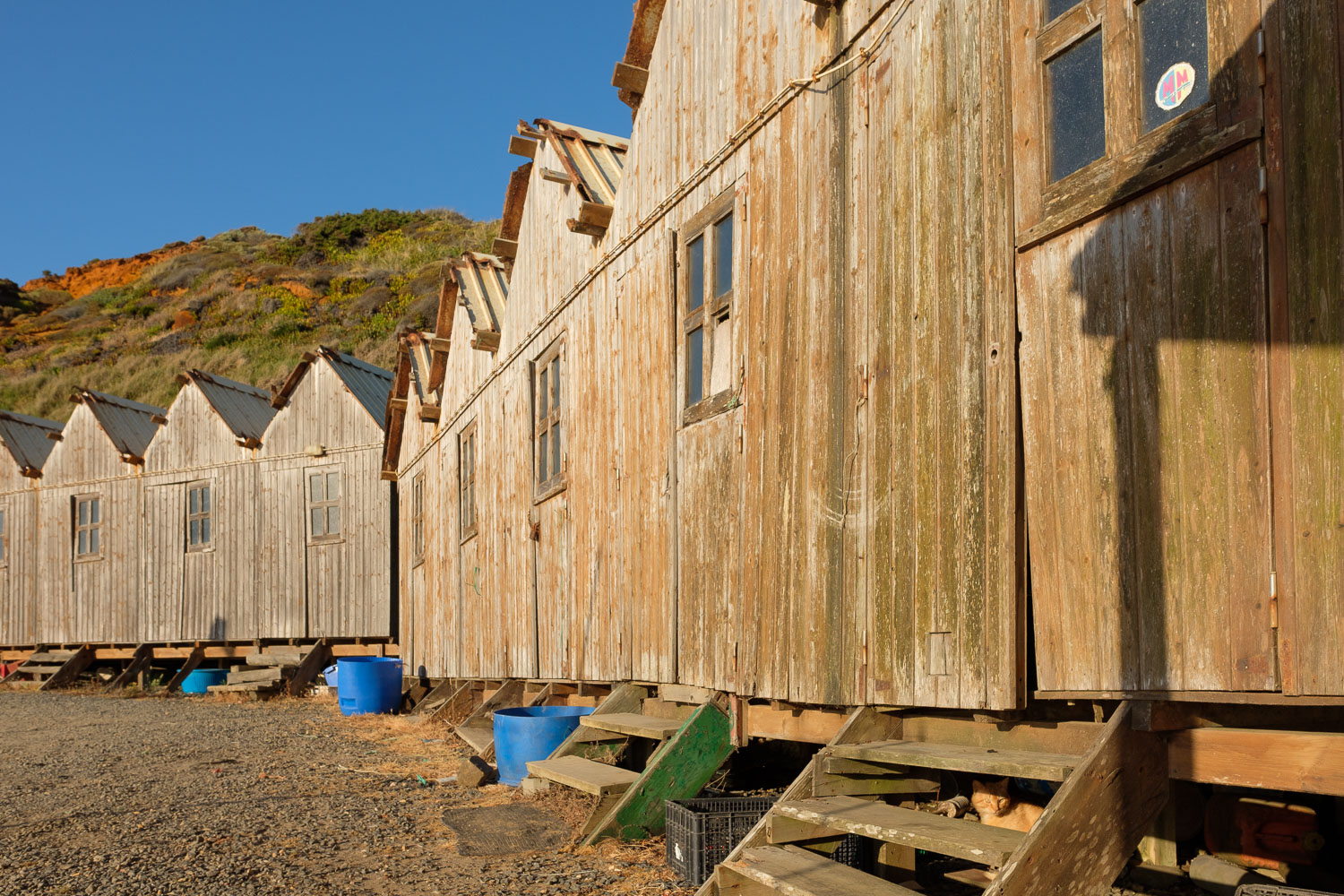
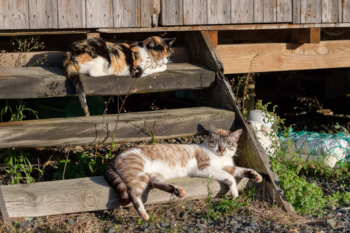
Lapa de Pombas is a very simple and small fishing harbour, that holds maybe a couple of boats and some wood huts. The place was eerily quiet, with a spring nearby providing fresh water, plus some cats lazing in the steps and enjoying the warm sunshine. The aroma of the peppermint is pervasive – it is used in a local fish soup, adding a special taste.

Even though I know this part of the coast like the palm of my hand, every time I visit, it always provides something new. Otherwise, simply enjoying the peacefulness and beauty of the place is more than enough to recharge our batteries and lift our spirits. Is there a better way to finish the day other than admiring the setting sun while seating on the cliff, perhaps with a drink?

Lazing on the sun
Lazing on the sun
Cliffs and sea
Cliffs and sea
Rusty colours
Rusty colours
Fishing and reading
Fishing and reading
Dunes
Dunes
Geology
Geology
Hazy light
Hazy light
Coastline
Coastline
Along the coast
Along the coast
Waves and sunset
Waves and sunset
Fall light
Fall light
Sunset at Almograve
Sunset at Almograve

Serra da Freita – a trip with Fujilm X – Pro2

Taking advantage of a bank holiday, I have recently visited the Serra da Freita region, in northern Portugal. This has been in my “to-do” list for quite some time, as the area, albeit small, is rich in cultural, geological, and landscape heritage. The rugged terrain, made of granite, quartzite, and schist, has been settled by Man since pre-historic times; today, many of the isolated and picturesque small villages are deserted, or only have a small number of (old) inhabitants. People have left for better jobs in the coastal cities.

Despite this, the local municipalities are making strong efforts to renew the region, based on its core attractions: local culture, natural & historical heritage, trekking, gastronomy, are key elements that concur for a unique experience

I planned my visit around two of the main attractions in the area: Passadiços do Paiva and Arouca Geopark. You can learn more about them here: http://aroucageopark.pt/en/

The Paiva river is one of the least polluted in Europe, and now it can be appreciated at close range by walking along the Passadiços, a wooden walkway 8km long that is quite popular. It is part of the Arouca Geopark, a network of a dozen or so spots that provide a unique insight into the early (Palaeozoic) history of our planet.

The surrounding countryside and landscape are a feast to the senses, with the sounds, smells, and large mountain vistas that are visible at each turn of the twisting roads. The road network is more than adequate, and traffic is scarce. Sometimes, after another turn, a small village, no more than a dot in the landscape, appears similarly out of nowhere. Such was the case, for example, of Manhouce, a small rural village that in recent years has become famous thanks to some local traditional music. Just seeing the corn cobs drying in the sun along the road, the granite – built houses, feels like going back in time.

I experienced some of the most beautiful landscapes of my life in front of the Frecha da Mizarela, the highest waterfall in Portugal. To fully capture the scenery, I decided to shoot several frames, to be later stitched. That day would end at the top of Serra da Gralheira, basked in the golden light of the sunset.

In terms of photographic gear, for this trip I wanted to keep simple, so I only carried one camera with one prime lens, i.e. the Fujifilm X-Pro 2 and 23 f/2 lens. This is a high quality and small package, that I carried in my backpack, together with food, drinks, and travel tripod.

In front of Mizarela waterfall
Giant trilobites in Canelas museum
Passadicos do Paiva
Passadicos do Paiva
Monastery Sao Cristovao Lafoes
Local produce
Local produce
Local company
Local company
In the forest
In the forest
From above
From above
Sunset
Sunset


Foggy coastline

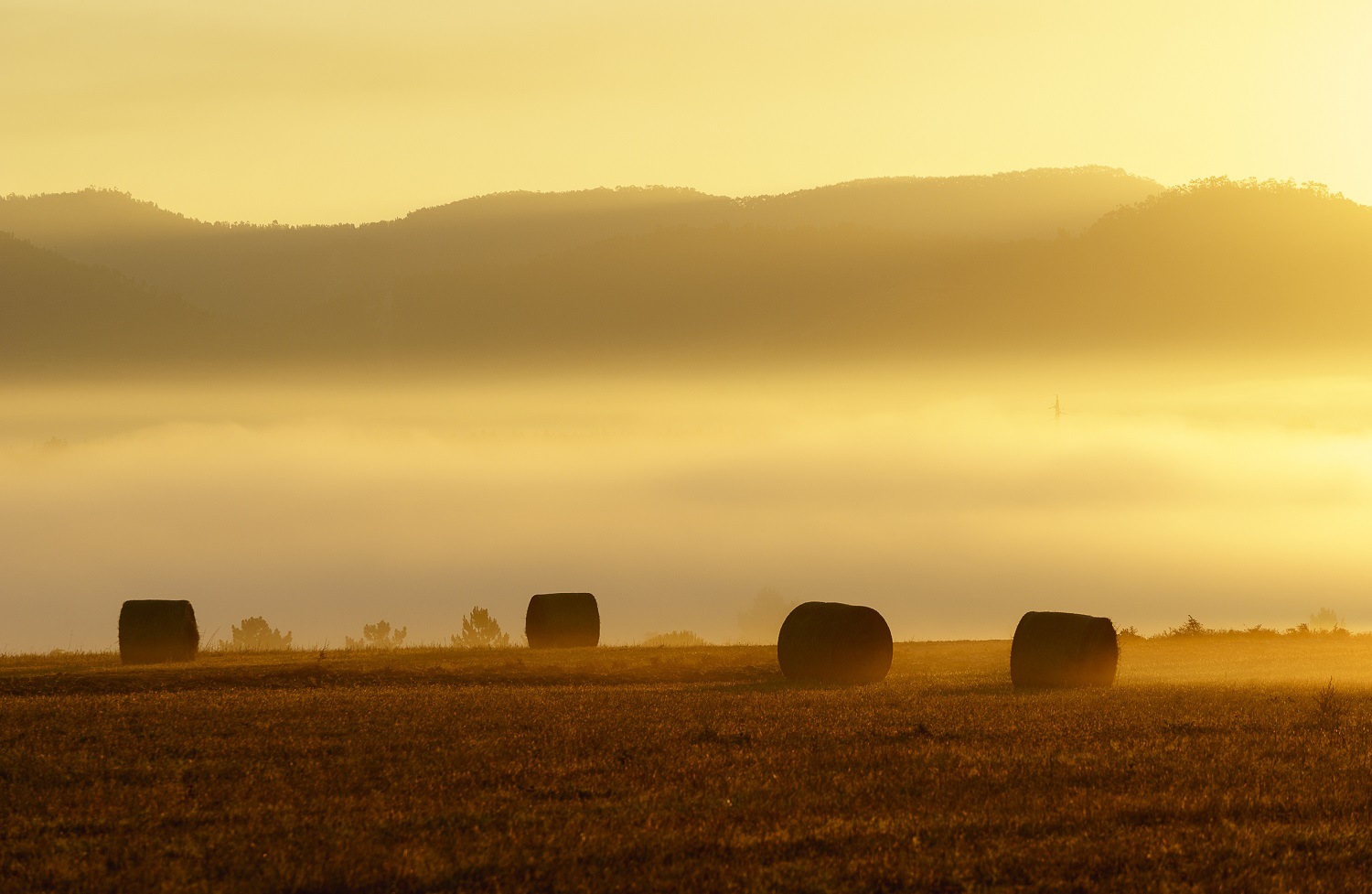
No matter how often you visit and photograph one place, there are always new opportunities to find out and explore. This adage was proven true once more when I visited an old familiar area of mine, the Southwest Coast of Portugal, specifically near Cabo Sardão. I was in the area for my annual summer vacation, when the day dawned a bit foggy.

Such foggy spells are recurrent in the coast, and normally clear out later in the morning. With this expectation in mind, I set out to take some photos of the nearby fields, with typical houses, hay bales, and grazing cattle. The yellow colour of the field provided a nice contrast with the fog, while covering the scene with some mystery.

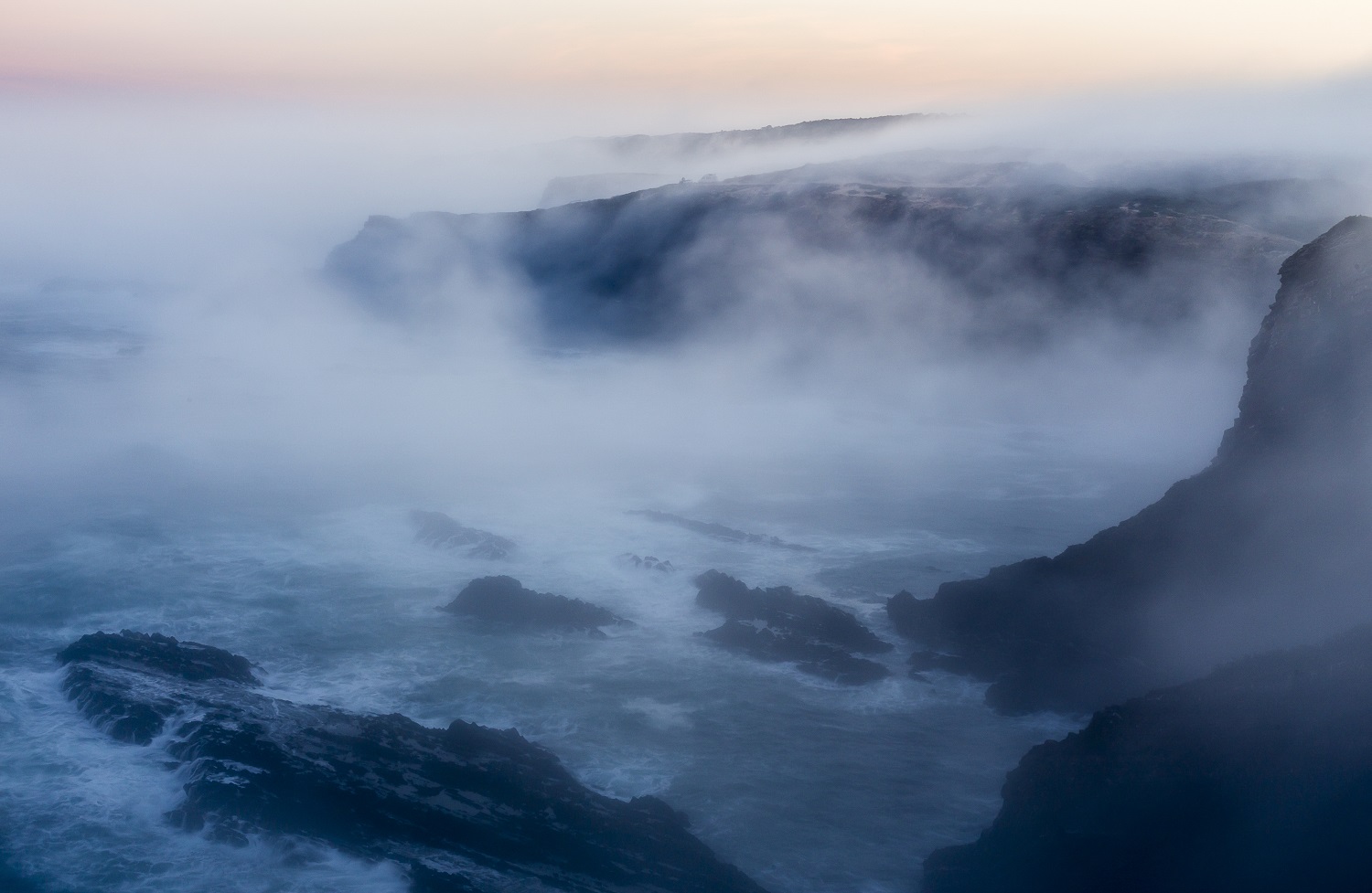
As the day evolved, it became clear that the fog was there to stay; in fact, it lasted to nightfall… therefore, I changed my plans (which entailed going to the beach) and went out on a short trek near Cabo Sardão, where the cliffs, sea, and fog, hopefully would result in interesting and different photos. I walked the area until sunset and was rewarded with a new take on a familiar landscape, where the fog played a central role; now and then, it would become somewhat weaker, allowing glimpses of the cliffs entering the sea in the distance.

For those wanting to visit this place, it is worth mentioning that care must be taken when accessing some of the best viewpoints, as they are normally at the end of rocky spurs, with precipitous drops nearby. Especially with fog, the rocks may be slippery.

As I mentioned above, there are many interesting subjects; one of them, which opened due to the fog and the soft, low contrasting light, was the numerous rock formations and erosional features present in the dunes. Some of the dunes are consolidated with ferruginous materials, which highlights the red colours. The soft sky light results in a natural enhancement of the colours, like a natural saturation slider.

I played around with both wide angle and telephoto compositions, trying to convey the ruggedness and mystery of this stretch of coast, which is beautiful. Hope you like the resulting images.


Grazing, Longueira.
Grazing, Longueira.
Sunrise
Sunrise, Longueira.
In the distance.
In the distance.
Fields.
Fields.
Pre-historic.
Pre-historic.
On the verge.
On the verge.
Cliffs and beach.
Cliffs and beach.
Elements.
Elements.
Low tide.
Low tide.
The cube.
The cube.
Iron rivulet.
Iron rivulet.
Remnants.
Remnants.
Going down.
Going down.
Inlet.
Inlet.

London – some black and white photography

I recently went to London for some well deserved vacation time with the family. It is a fantastic city, full of photo opportunities and truly a melting pot of cultures. When I go back to places that I know well, which is the case, I tend to keep it simple in terms of photo gear; in this case, one camera plus one lens, a 35mm f/1.4.

Being London, the weather was often overcast, but with some clearing of skies towards the end of the day. I wanted to concentrate on the margins of the Thames, with the new booming architecture mixing in with the old, plus the new establishments along the river. Plenty of interesting points, offering new views over some classic locations.

With this plan in mind, I made most of my photos with the plan to ending with some interesting black and white images. I am continuously amazed by the power of the available computer tools to extract the most of the files. Of course, simply converting a colour file to black and white is no magic recipe for an interesting photo; if the elements for interest are not there, they will not appear out of the blue.

In some of the photos, the combination between clouds, sky, buildings and light turned out to be very good, and I am pleased with the results I got in the end. Below are some of the photos of the trip.

Reflected
Reflected
Parliement
Parliament – with the famous tower and clock under wraps, I opted for a different view.
Park sunset
Park sunset – good light at the end of the day.
Tidy
Tidy – traditional river activity with modern background.
Scale
Scale – using bridges to provide some depth and dynamism.
Eye panorama
Eye panorama – can not avoid the Eye, really. It’s a great ride too.
Greenwich panorama
Greenwich panorama
Shard
Shard