The plan for the third day of our trip was to walk the trail between Lagoa Comprida and Covão dos Conchos, in the heart of the mountain. After breakfast, we drove to the town of Seia, from where it is easy to reach the starting point, via the village of Sabugueiro. The weather was overcast, with a heavy cloud cover. Our concerns were confirmed once we reached Sabugueiro, which was enveloped in fog. Given that the trail route is at an altitude in excess of 1500 m , the presence of fog was bad news.
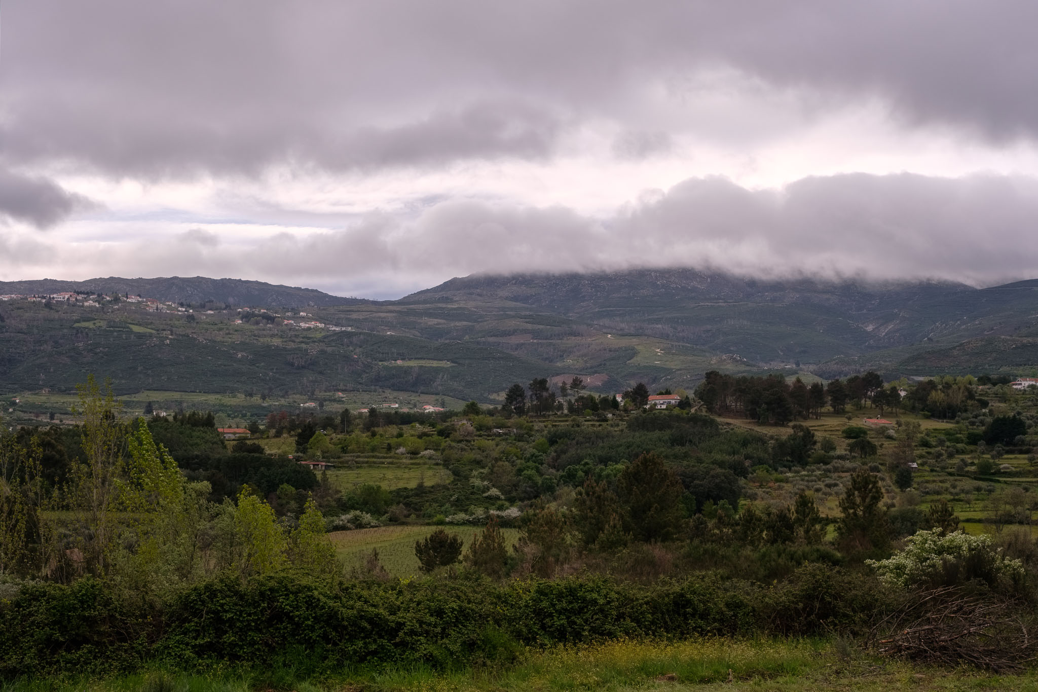
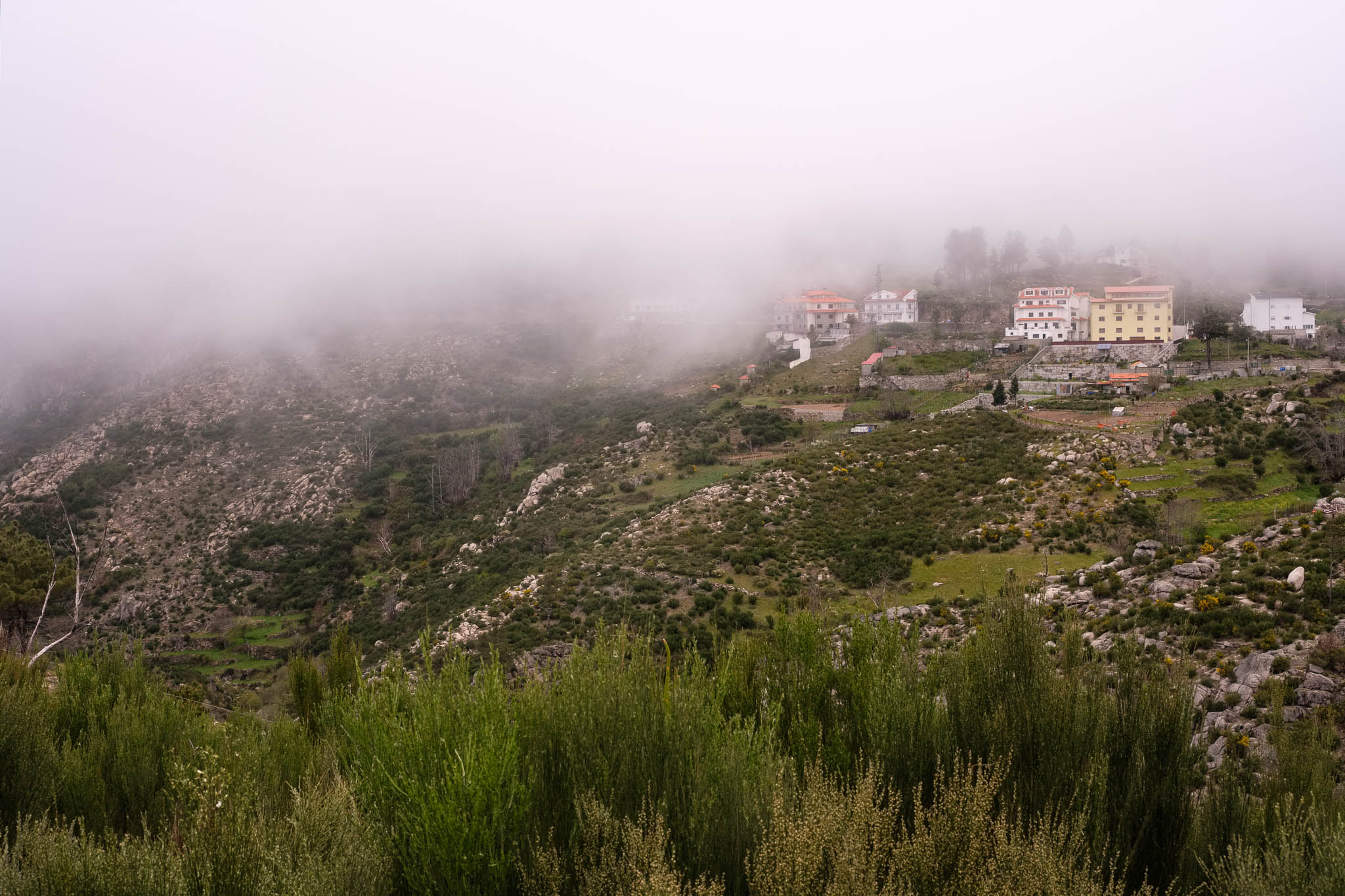
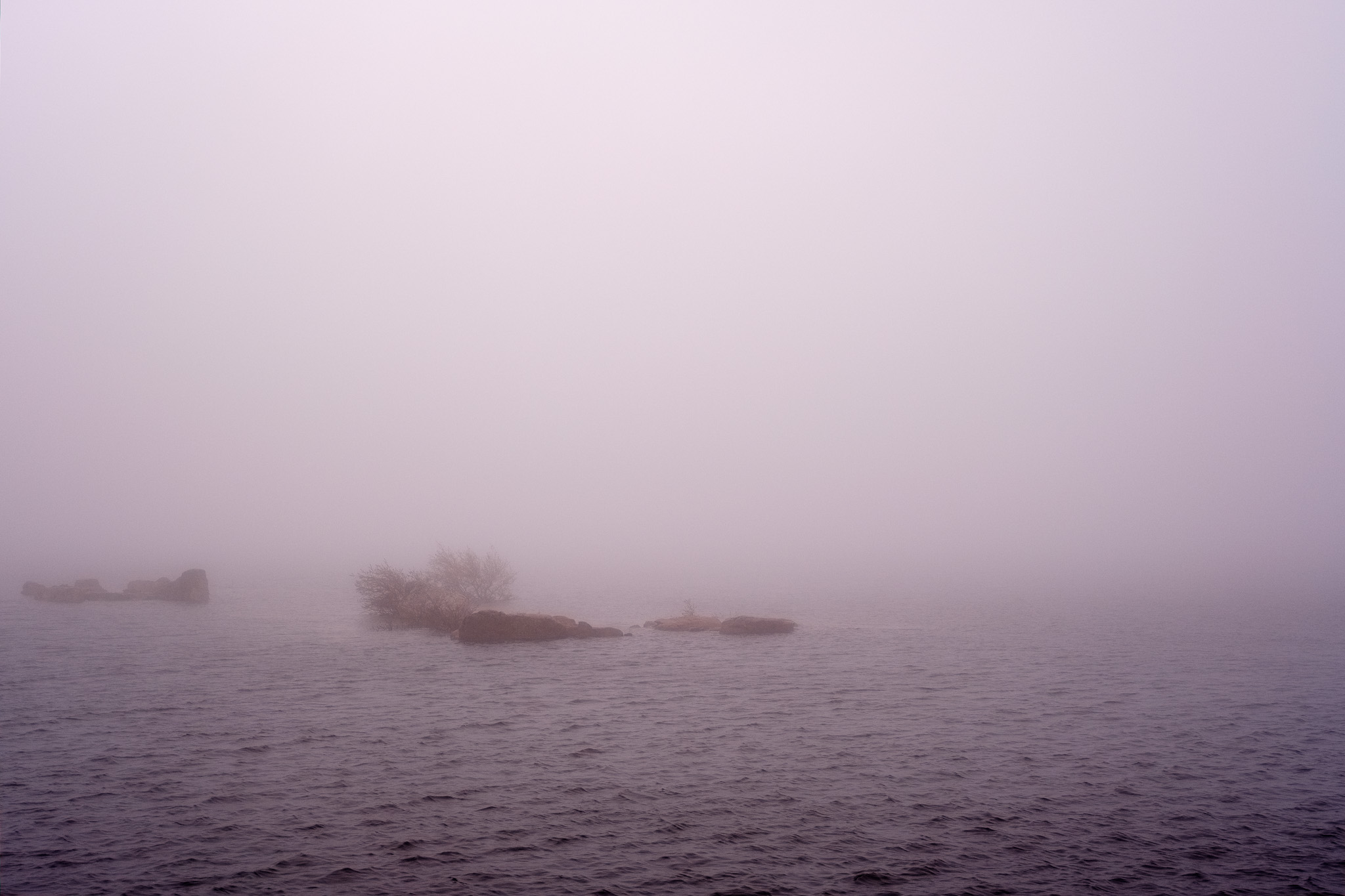
Still we persisted and continued driving up the road. When we arrived at the Lagoa Comprida, a lake created by a dam, the visibility was near zero. The wind was strong and freezing, and in such conditions, we decided not to walk this trail. Even though the path was easy and we had the GPS track, there was no point in doing it. I walked around for a while and took a few photos of the landscape in the fog.
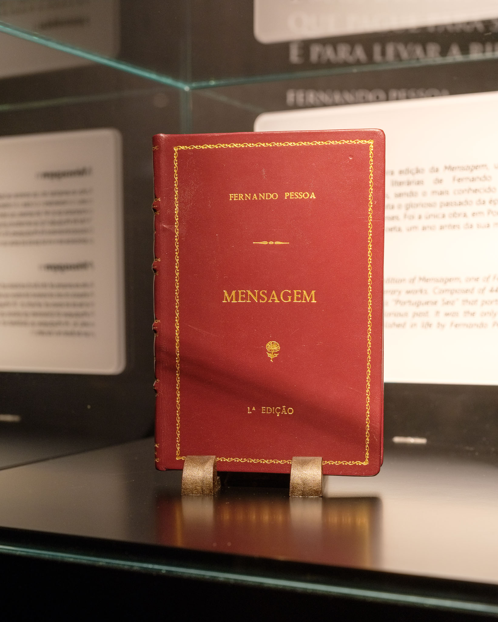
We drove back to Seia and quickly devised an alternative plan for the day. Fortunately there is no lack of interesting places to visit, given the abundance of historical villages in the region. In Seia itself, we visited the Bread Museum, which tells the story of bread and its importance since pre-historic times. In the area assigned to poetry and literature about bread, there is a corner dedicated to Fernando Pessoa, the great Portuguese poet of the 20th century. There is even a rare first edition of his book “Mensagem”, the only one that was published while he was still alive. The book is displayed on top of his writing desk, together with a coffee cup from Brasileira, his favorite coffee house in Lisbon. It was interesting to find these rare pieces in a museum outside of a large city.
From Seia, we decided to visit a few other historical villages, such as Castelo de Linhares da Beira and Celorico da Beira. Near Celorico, another interesting place is the pre-historic necropolis of São Gens.
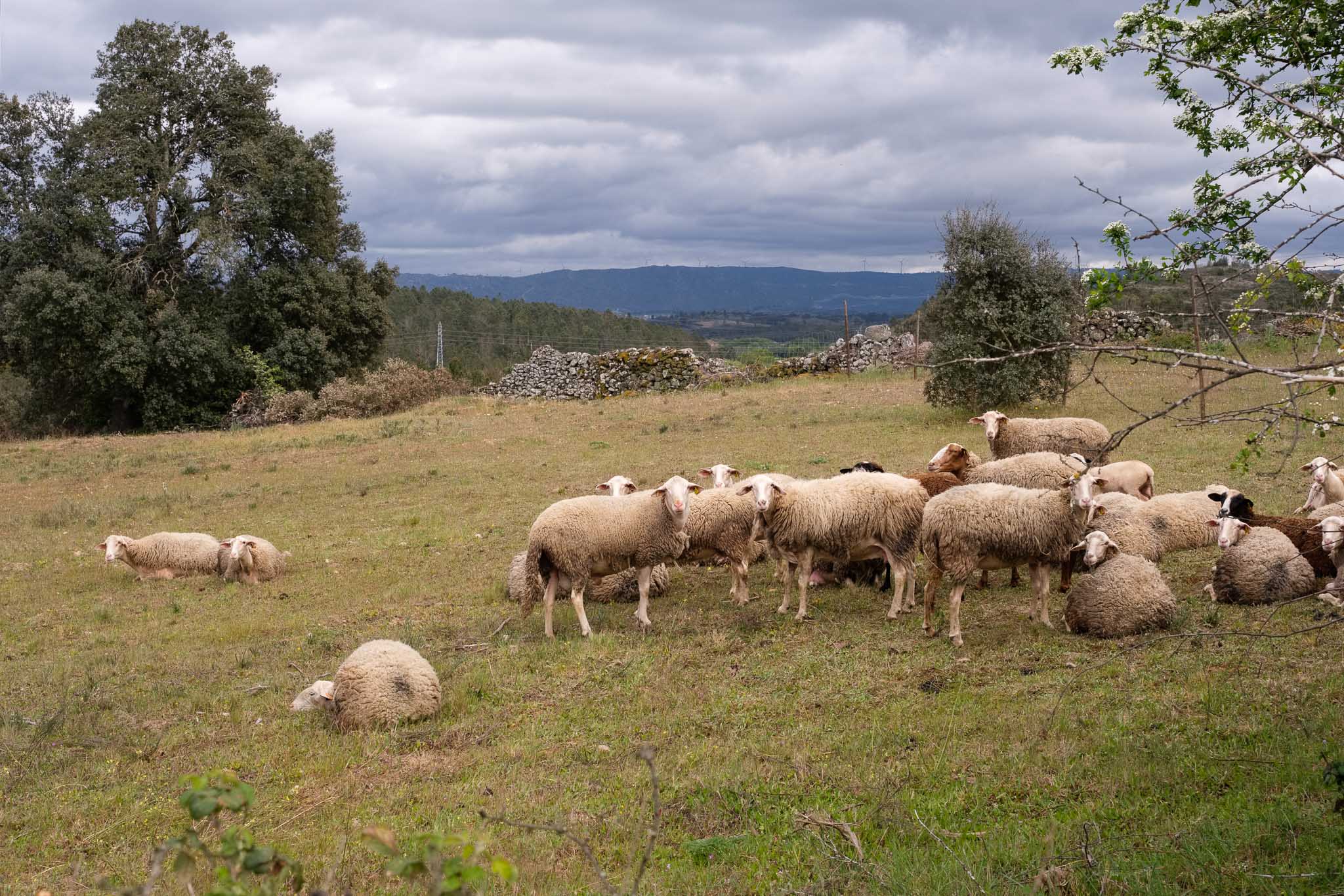
The weather continued to be cold and dark, which actually suited the character of the landscape and the constant presence of granite. Arriving in Castelo de Linhares da Beira, the silhouette of its castle dominated the surroundings.
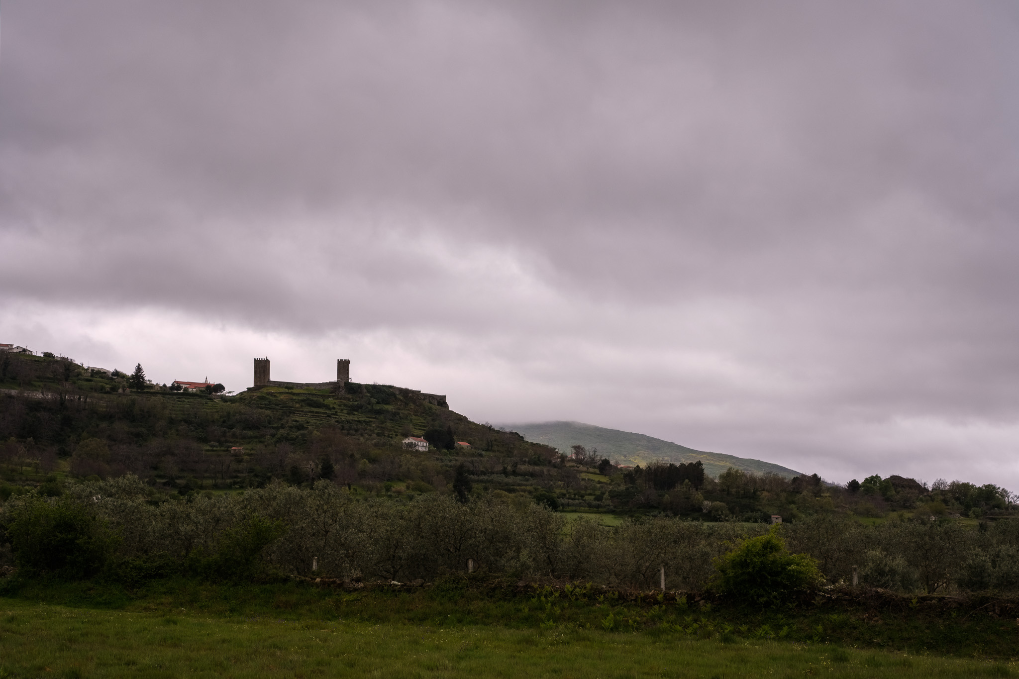
As with all villages in the region, the history of Linhares is lost in the mists of time. The first settlement in the top of the hill is dated from around 850 b.C., before the Roman occupation of the territory. Then came periods of occupation by the Visigoths and Arabs, before the Christian reconquer. In 1169 a.C. King Afonso Henriques grants the village its first charter. We have a quick picnic lunch in the nearby woods, and then proceed to walk along the narrow streets, where the wind blows and the rain starts to fall.
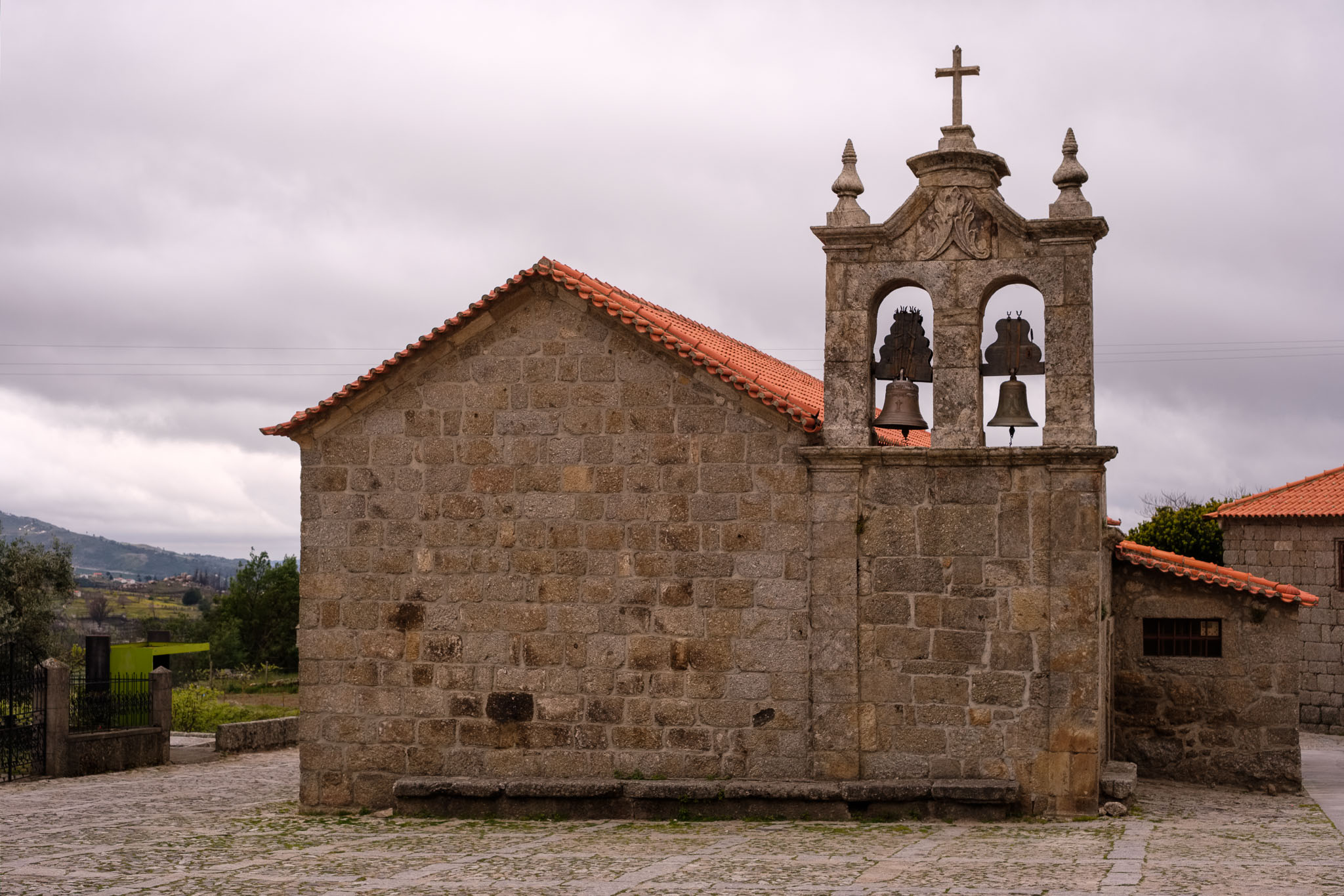
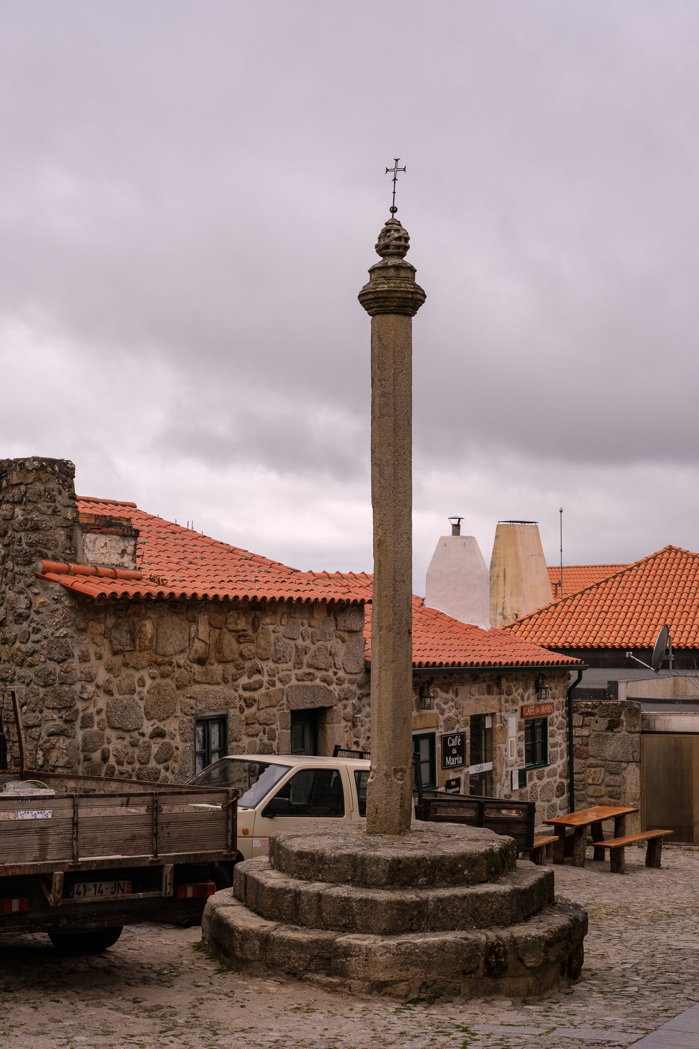
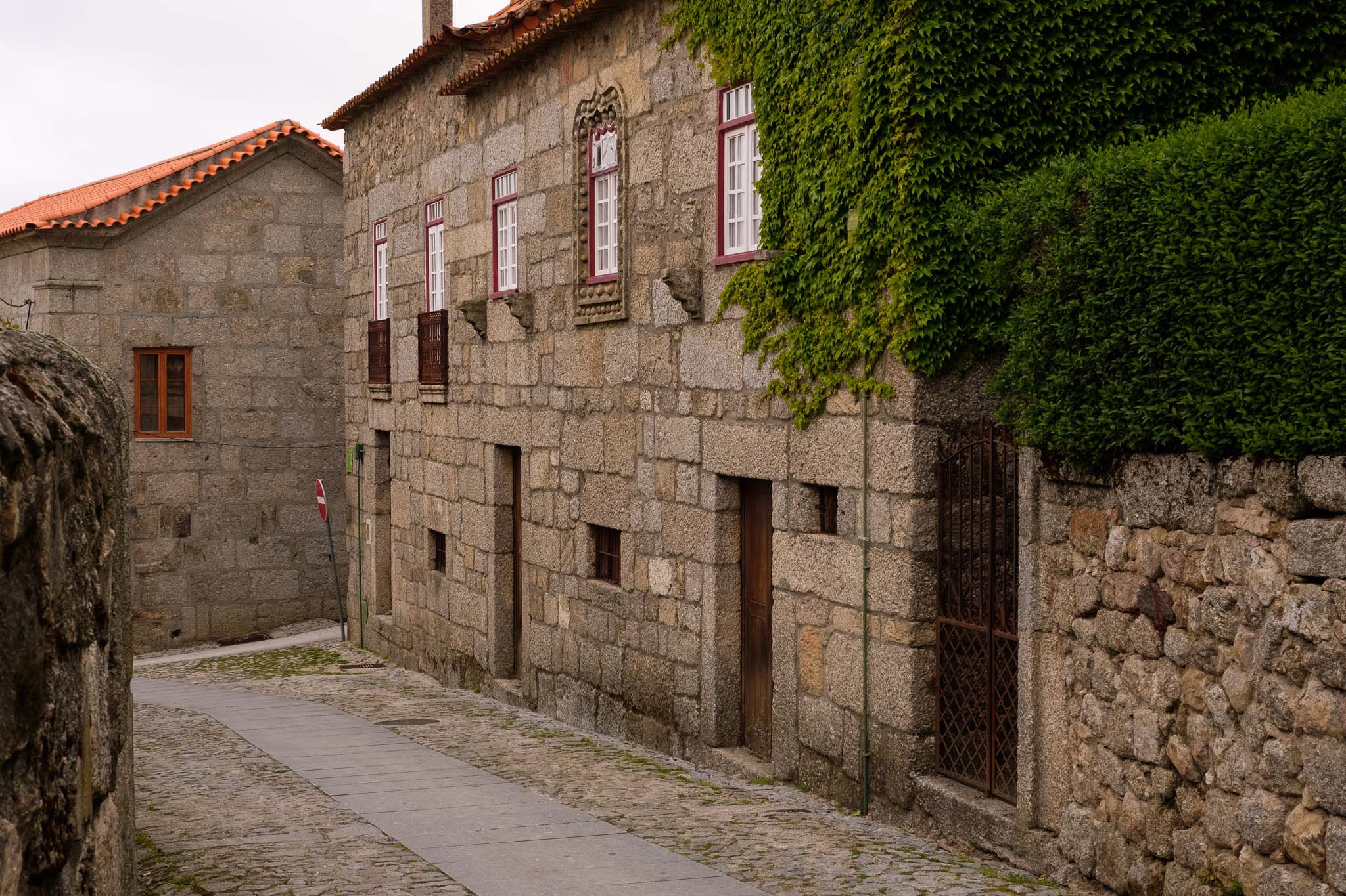
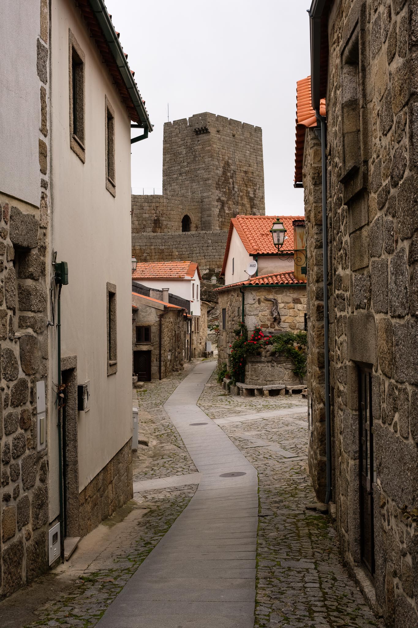
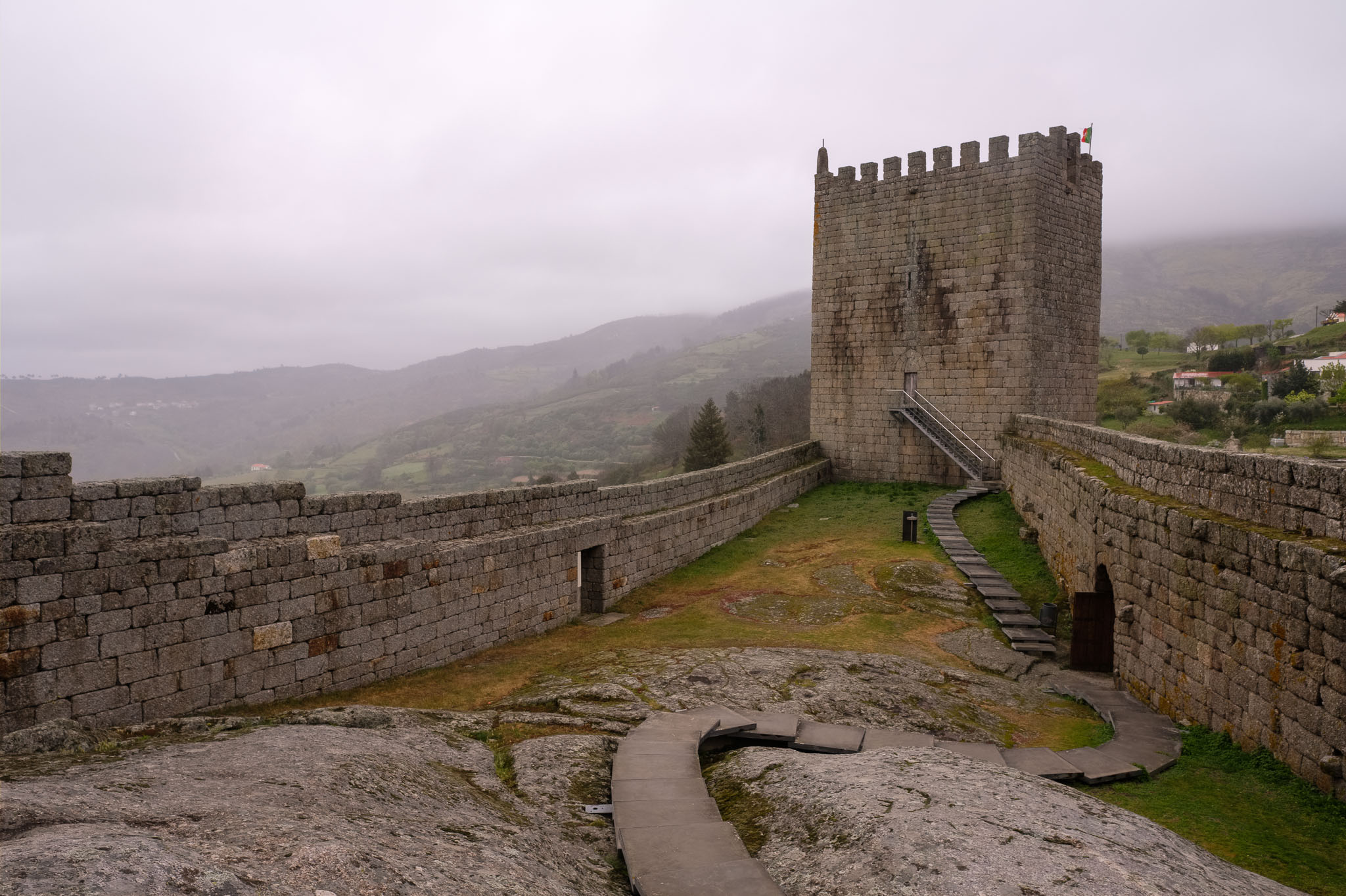
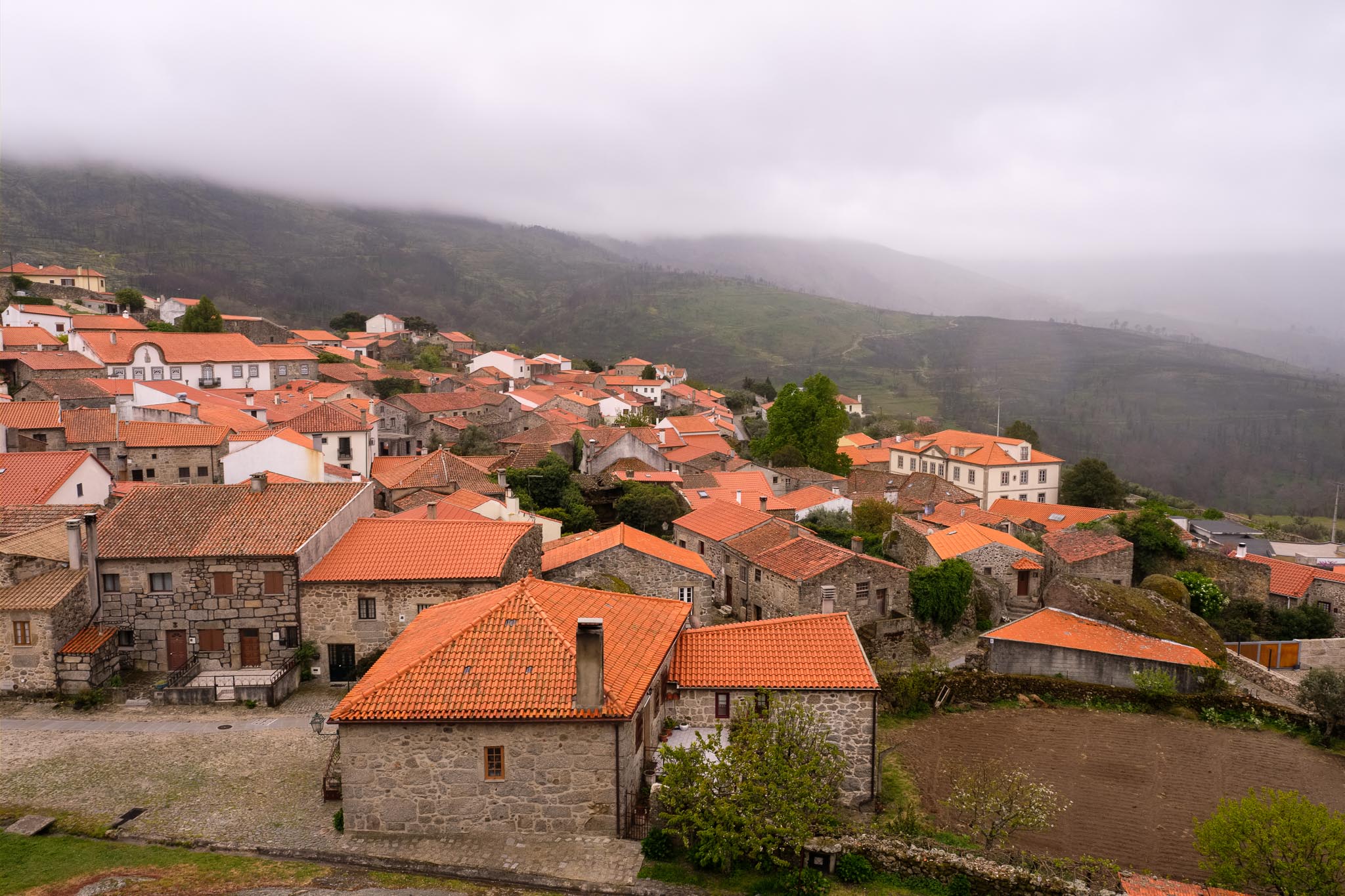
This village, as many others, only comes to life during the summer, when the emigrants return to spend their vacations. For now, it seems like a ghost town, but the weather is also not inviting to go out. Linhares is also famous for hosting paragliding events, which makes sense, given its location in altitude and favorable wind conditions.
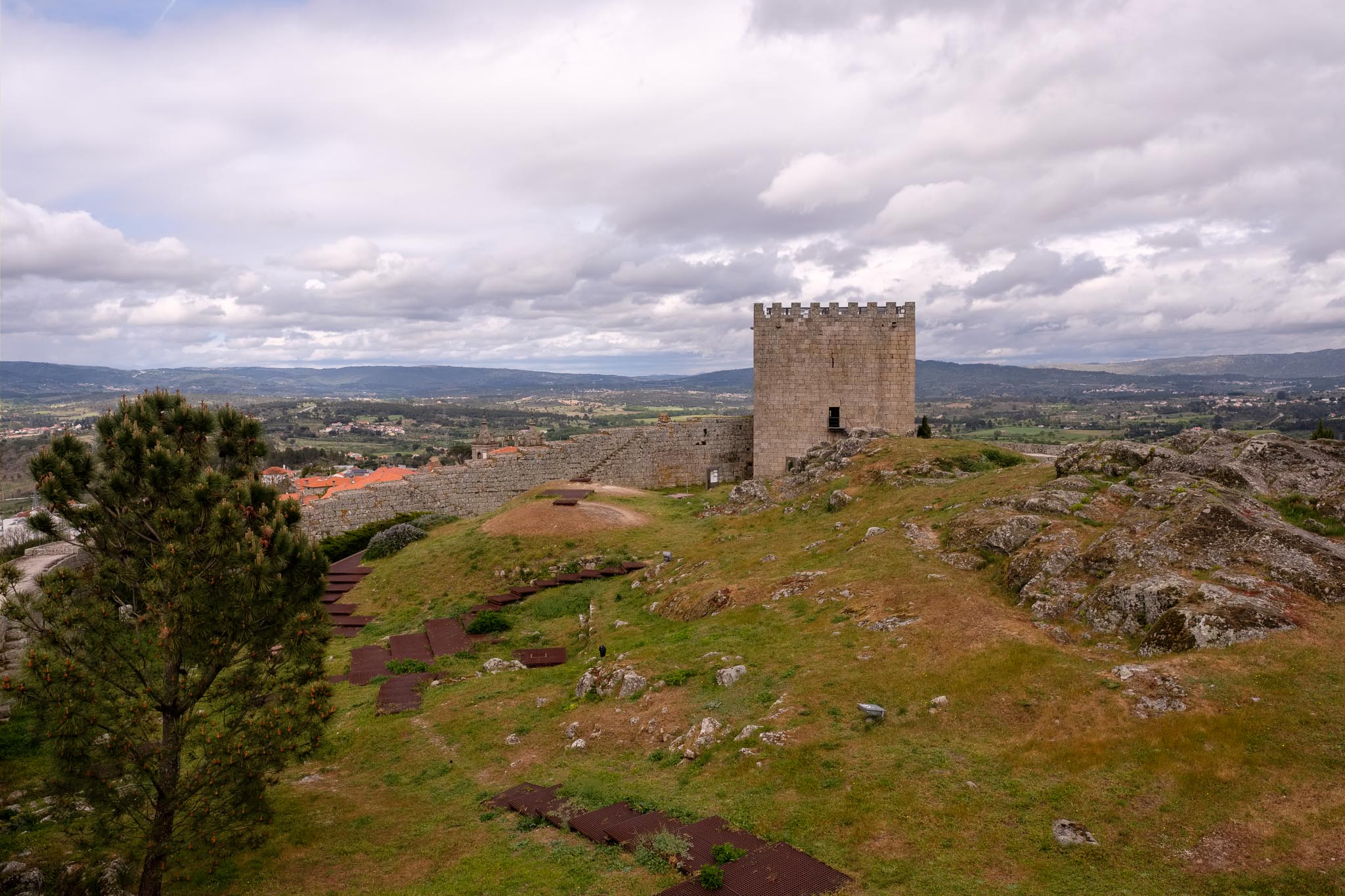
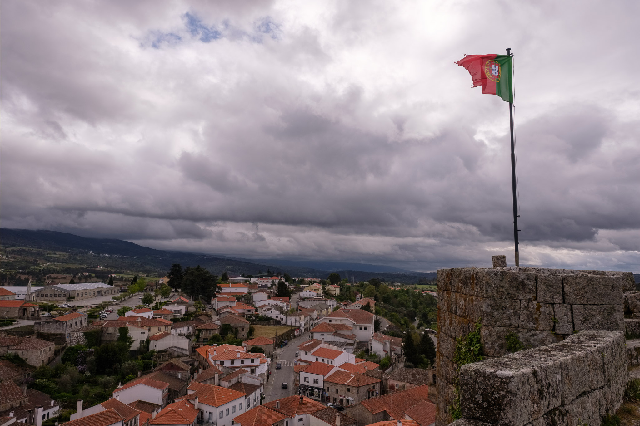
From Linhares to Celorico da Beira is a short drive. Celorico is considered the capital of the Serra cheese, a regional product that is quite famous. Therefore, a visit to the “Solar do Queijo”, in the main square near the castle, is mandatory. There, you can learn about how this delicacy is made, and of course buy it in the local shop. As with Linhares, the history of Celorico also starts in pre-historic times, with successive occupations by Romans, Visigoths, Arabs, and Christians. It is worth visiting the castle and admire the views over the Mondego river valley and the succession of mountain ranges towards Spain. With the advance of the afternoon, finally a little bit of sunshine starts to come through.
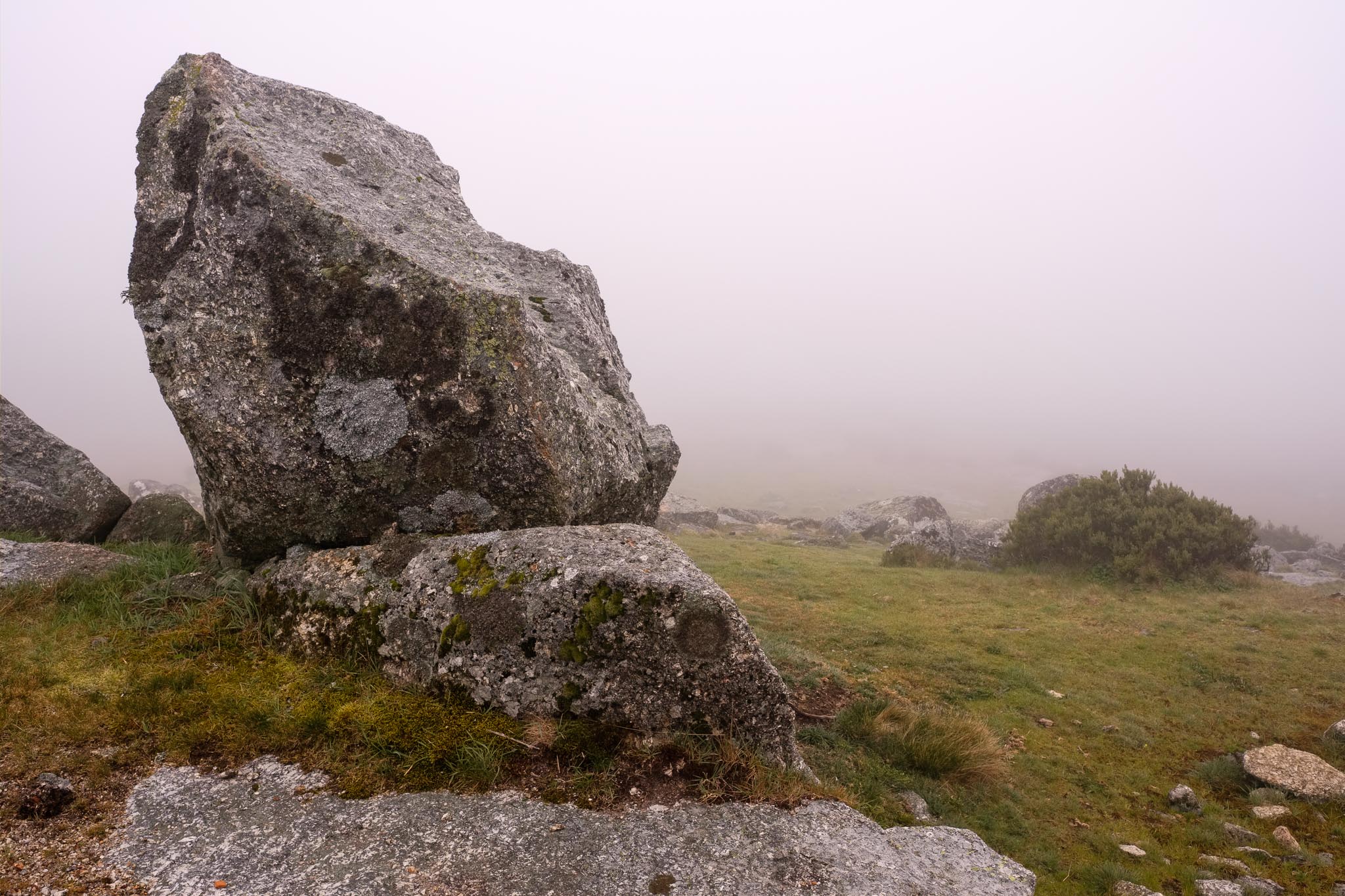
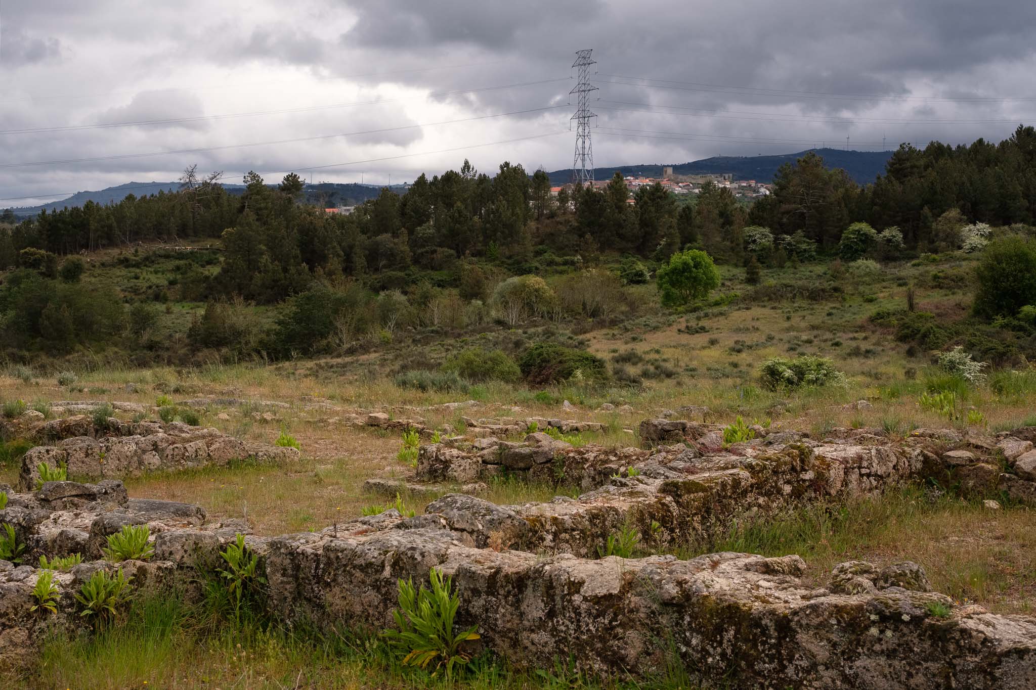
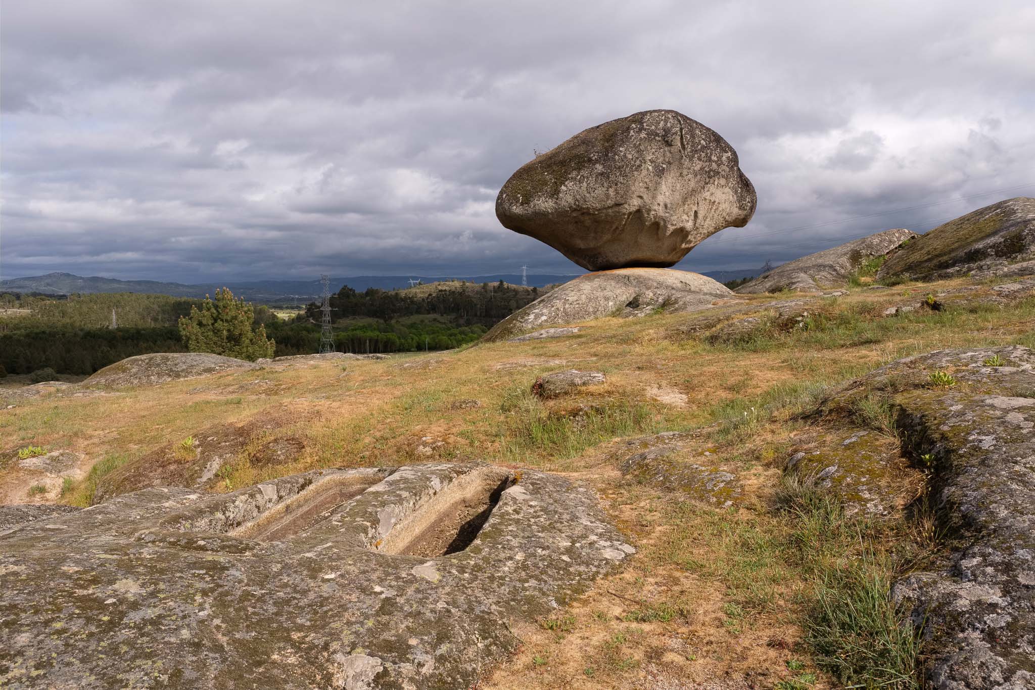
Near Celorico there is a very interesting place to visit, which is the necropolis of São Gens. Located in the granitic plain, this is a location where evidences of human settlements have remained until the present day. These include 7000 years neolithic tombs, and remnants of Roman and medieval houses. These are close to a geological monument that consists of a granite block in precarious equilibrium on top of another one. The combined effect of meteoric agents has resulted in the erosion of the bottom of the granite block, creating this particular peduncular shape. I walk around taking some photos, having to wait here and there for the sun to break through the clouds. When that happens, the light acquires a dramatic character, illuminating my subjects against a dark menacing sky. It is easy to imagine our ancestors living in this area, perhaps also admiring and wondering about how this granite shape was originated.
With the end of the day approaching, we had no regrets about cancelling the trail from our original plan; with a region so rich with cultural and historical routes, it is easy to find interesting places to visit and experience.