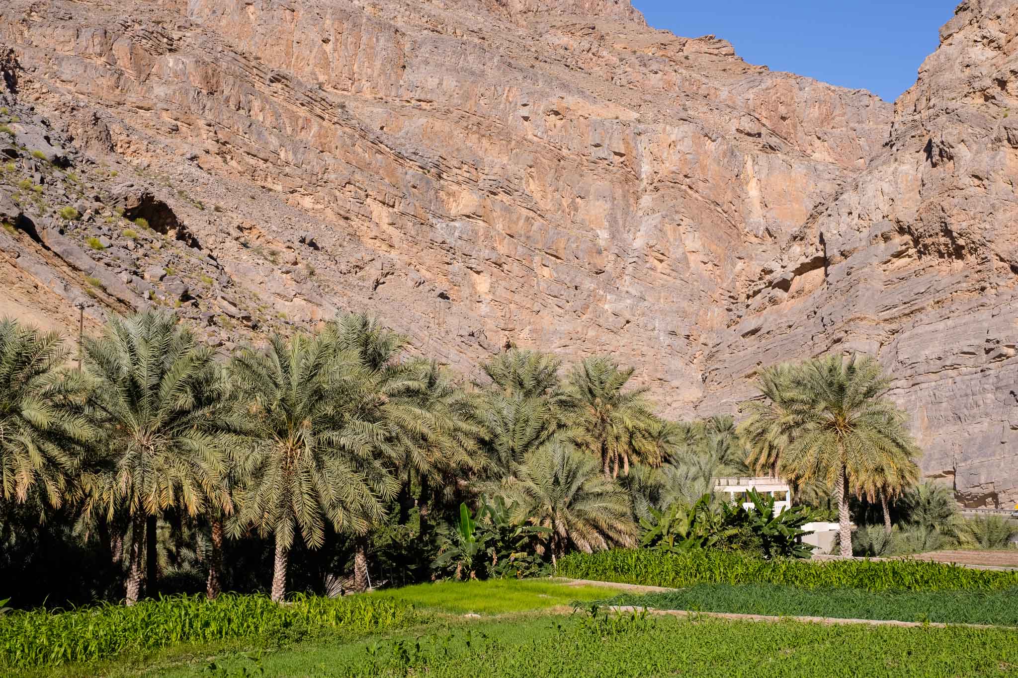
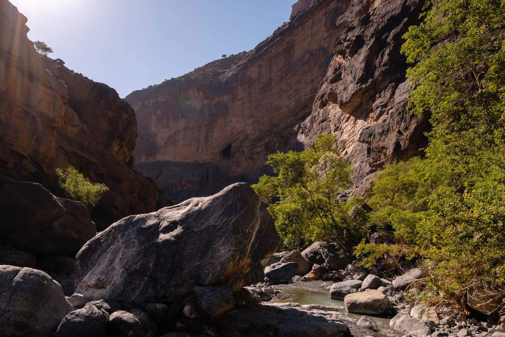
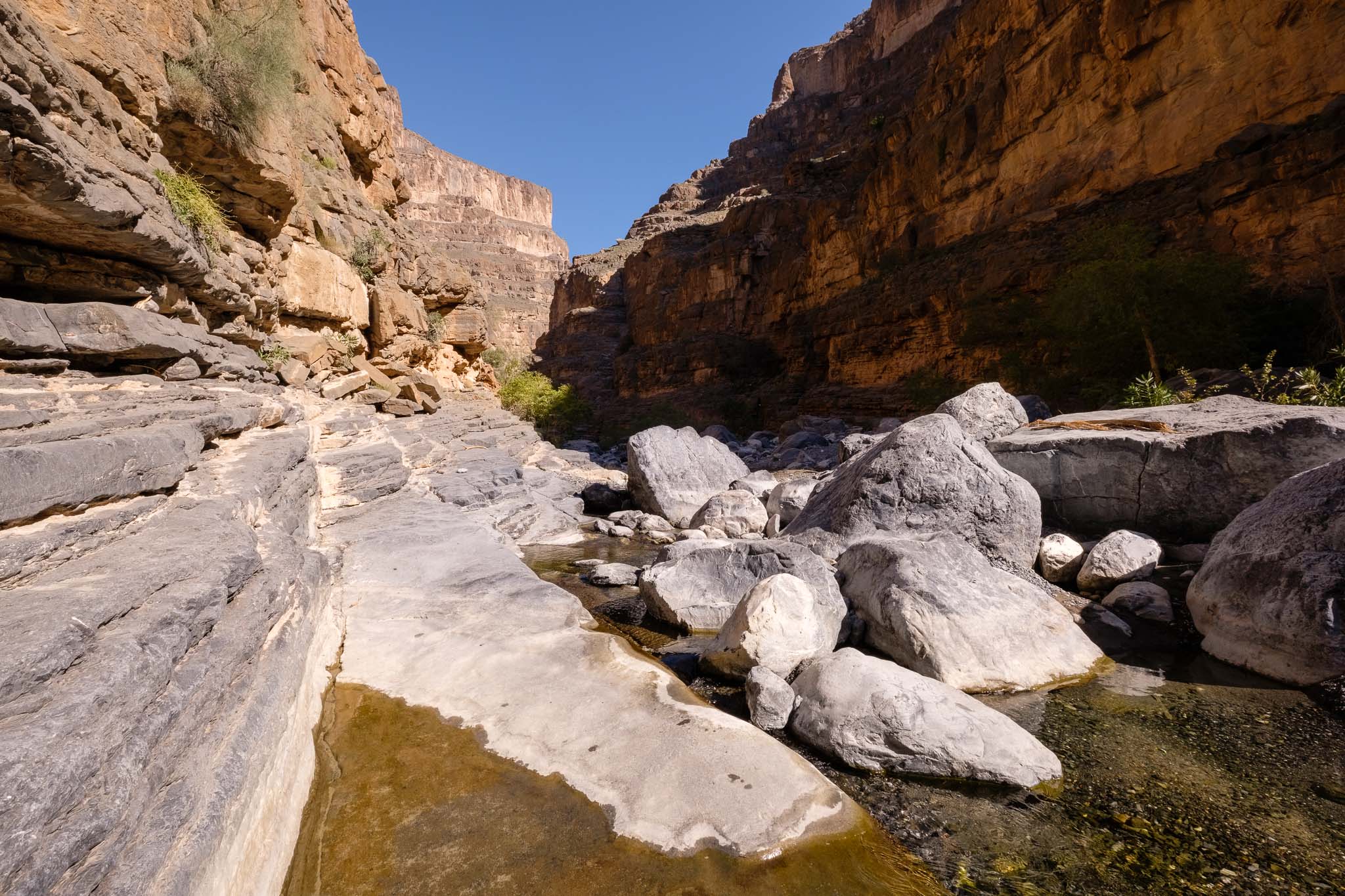
The Jebel Shams Mountain is home to some of the most beautiful landscapes you can find in Oman. It takes several trips to fully explore the region, which can be done via a handful of trails. You can walk along Wadi Nakhr, an easy going walk that takes you through the middle of the mountain, that I have described before:
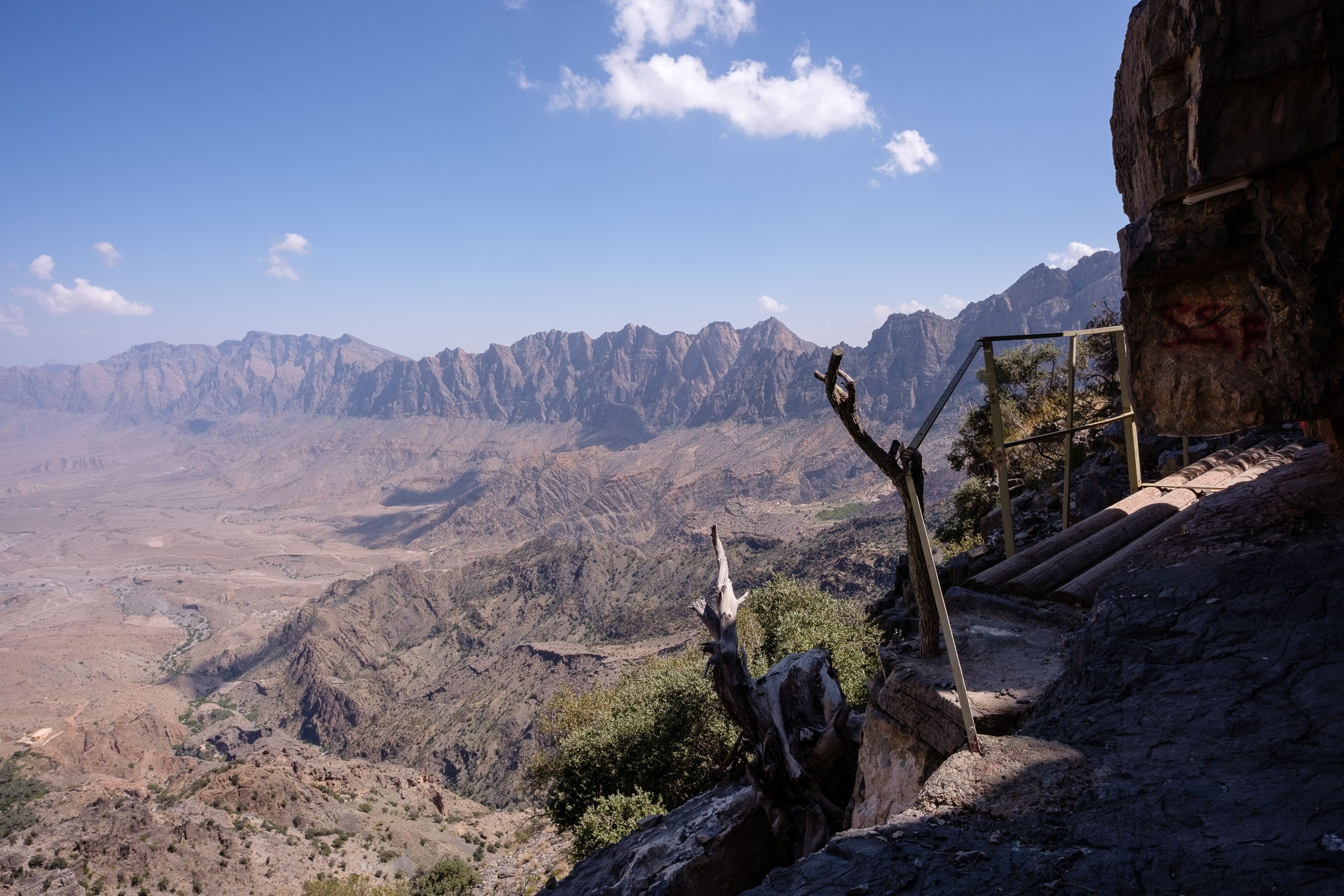
And you can drive all the way up to experience one of the most famous trails in Oman, the so-called “Balcony Walk”. I have recently spent one weekend in Jebel Shams to walk along this old donkey trail, which follows the western rim of the mountain, with fantastic views over Oman’s Grand Canyon. I walked this trail before, in 2006, so I was keen to go back nearly 20 years later. I carried with me the Fujifilm X-T5, with the Fujinon 14mm f/2.8 and 70-300mm f/4.5 – 5.6 lenses. Plus my trusty tripod.
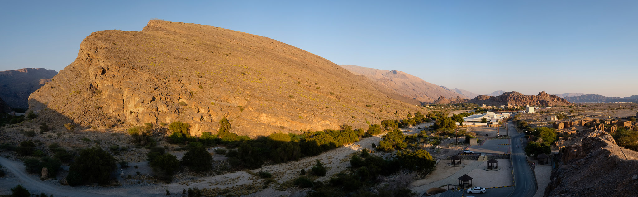
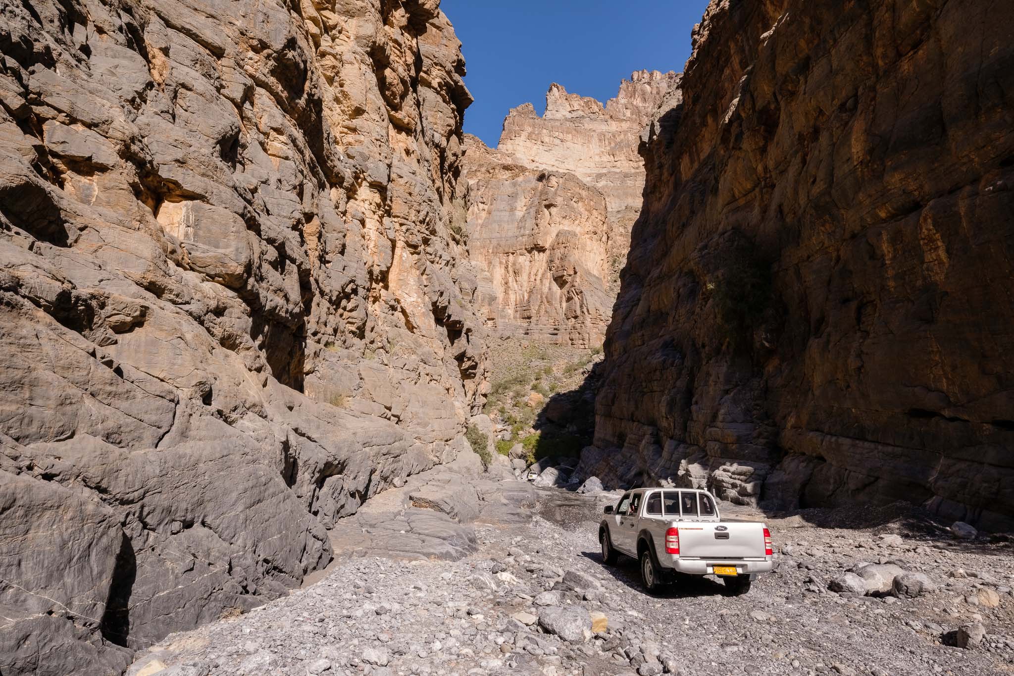
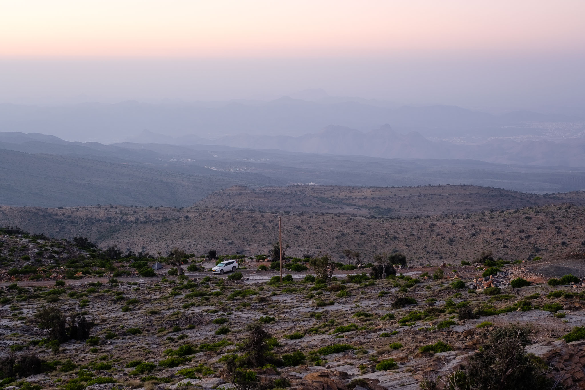
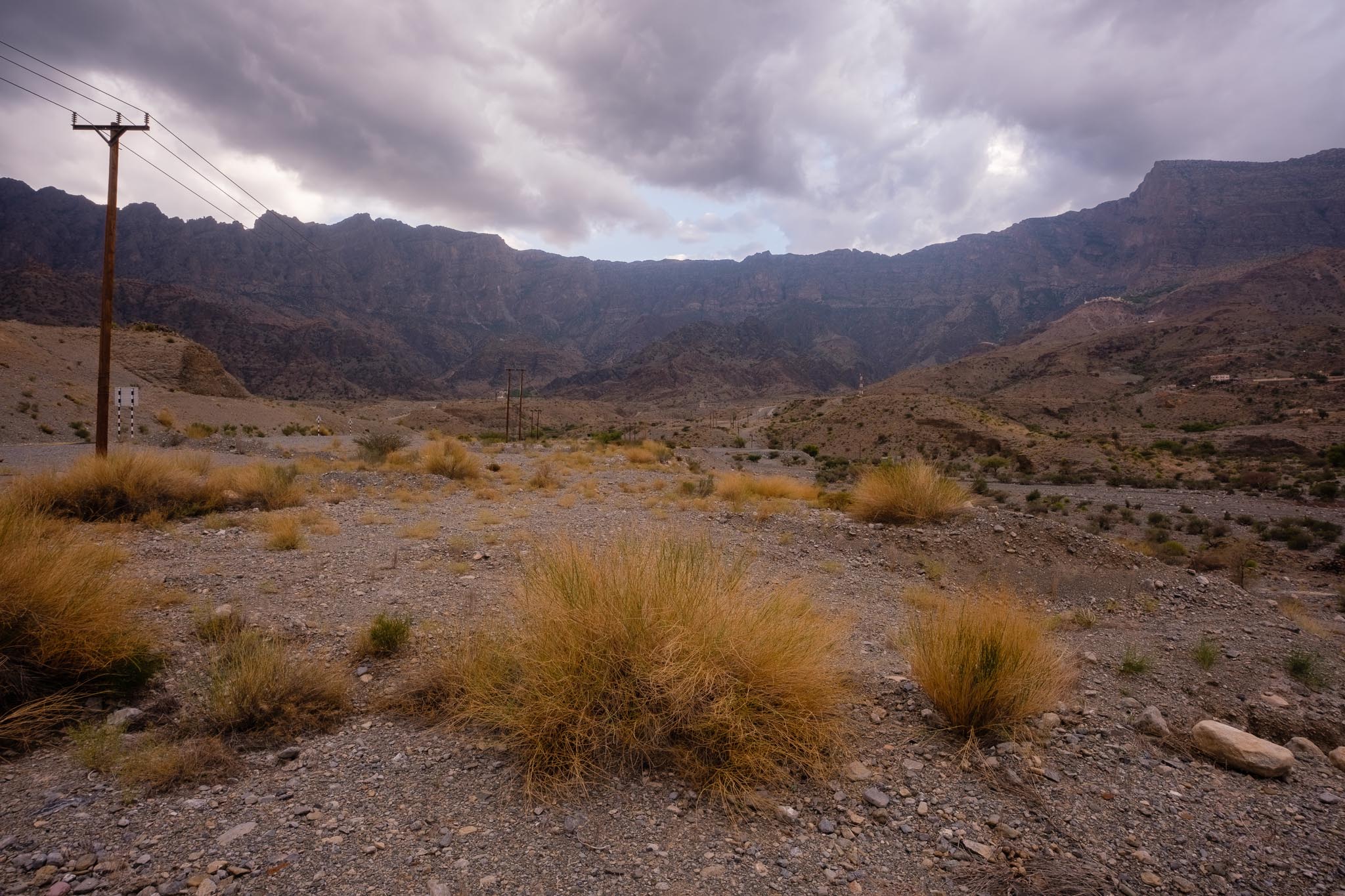
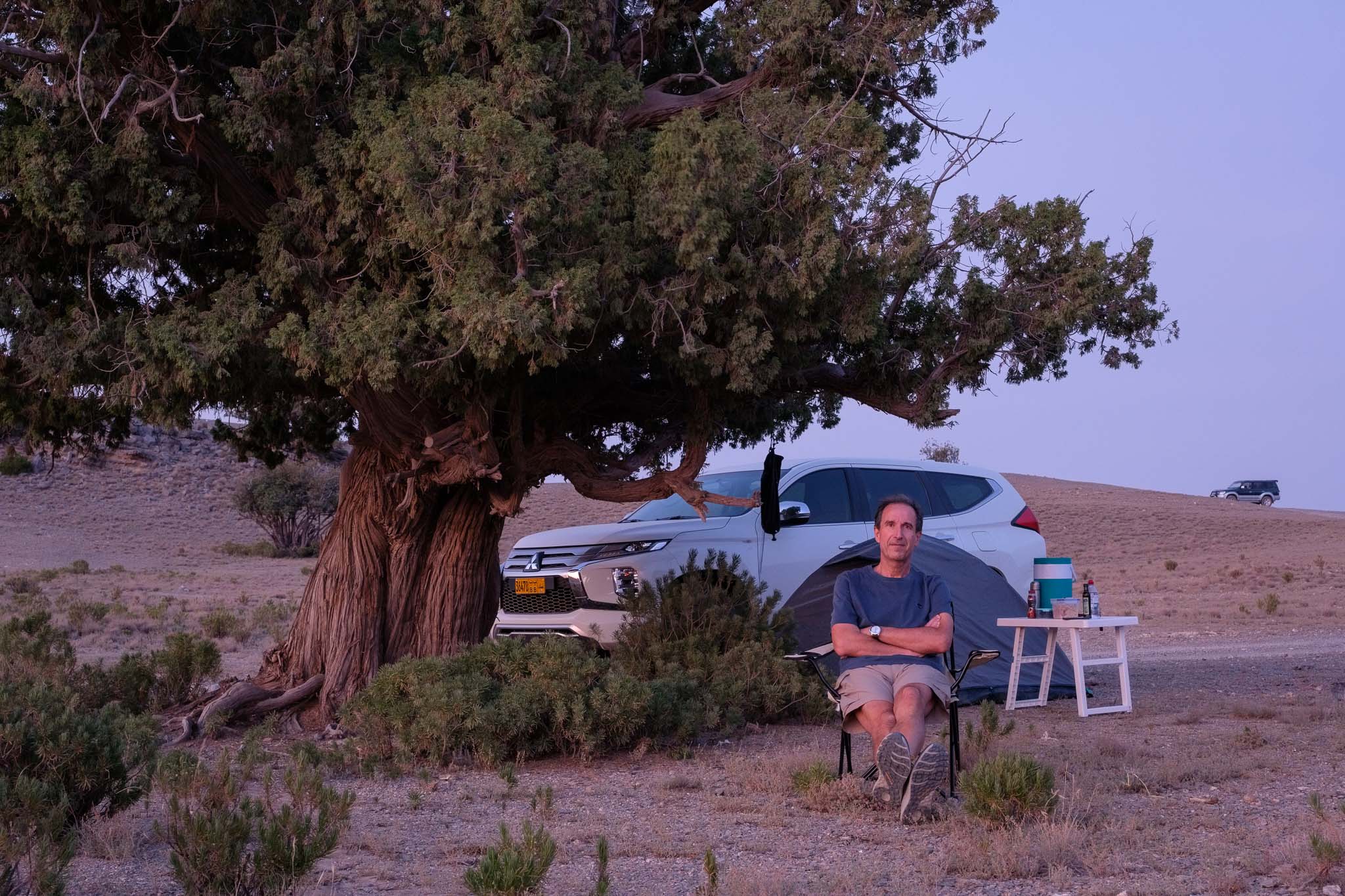
The drive between Muscat and Jebel Shams is an easy one, passing through Nizwa, Tanuf, and Hamra. From Hamra, it will take about 1 hour to reach the top, mostly through a graded road that is perfectly safe, as there are no steep inclines or hairpin turns. You will be climbing the southern flank of the mountain, which is much gentler compared to the northern one. As it is end of January, the weather is cold, with maximum temperatures usually a good 15 degrees centigrade lower than in the plains below. I was camping for one night, so I came well prepared with warm clothing. At 2,000 m above sea-level, freezing temperatures are common in the winter months.
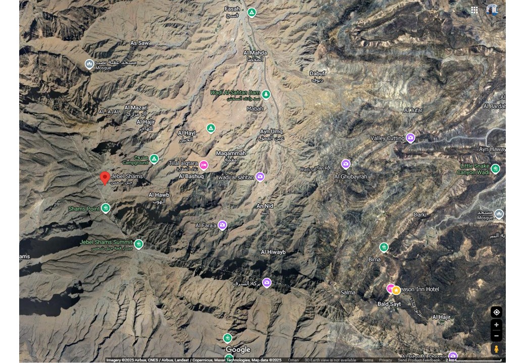
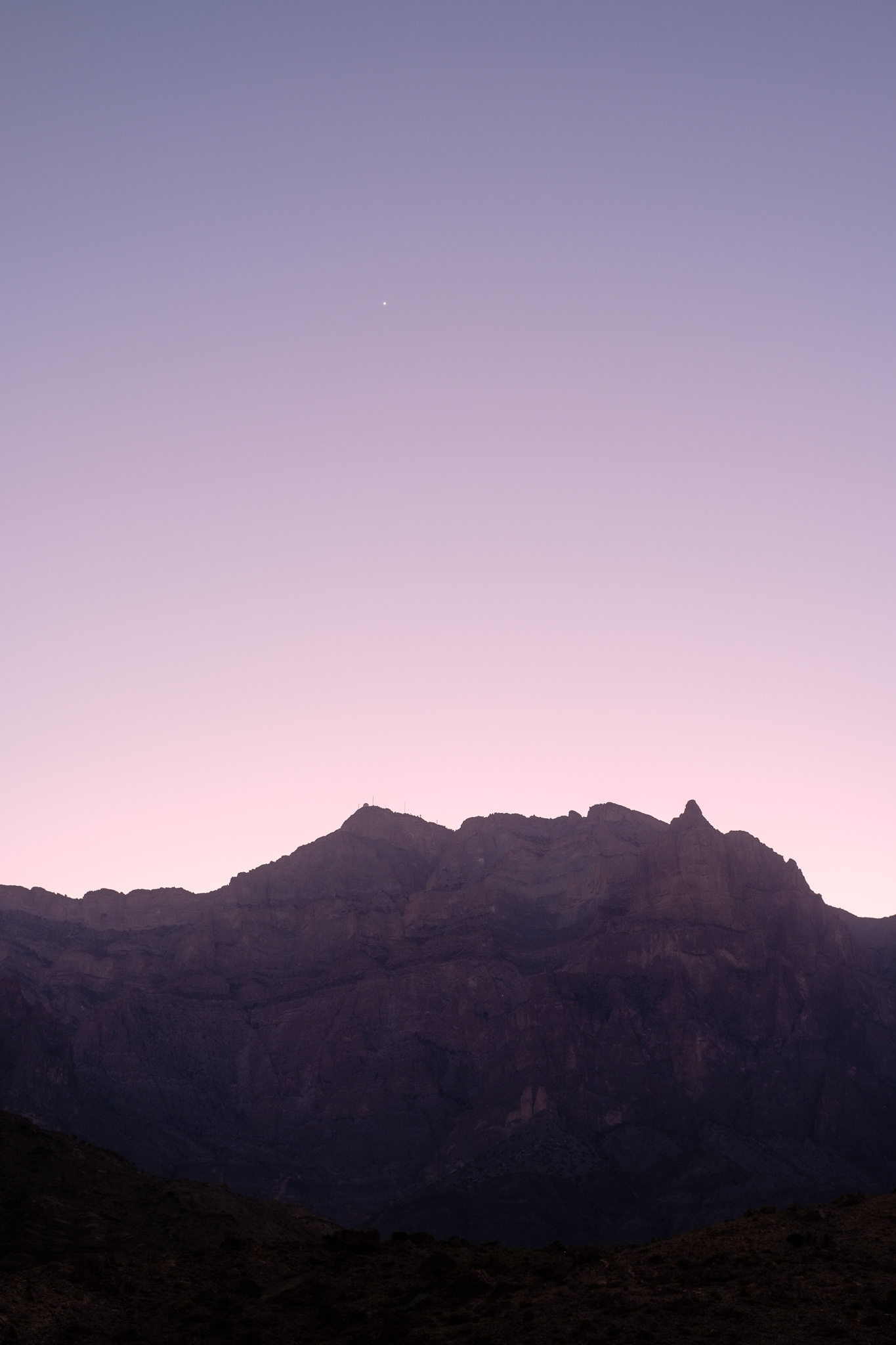
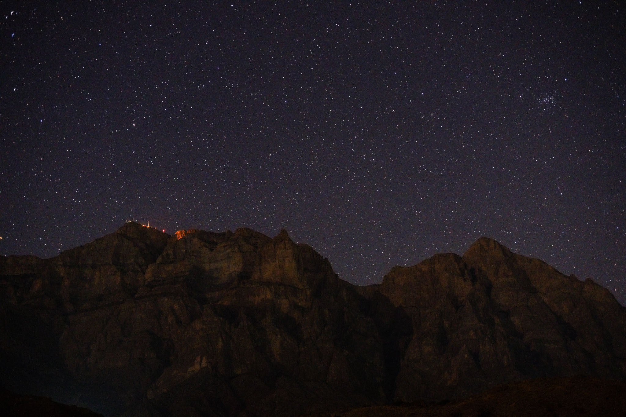
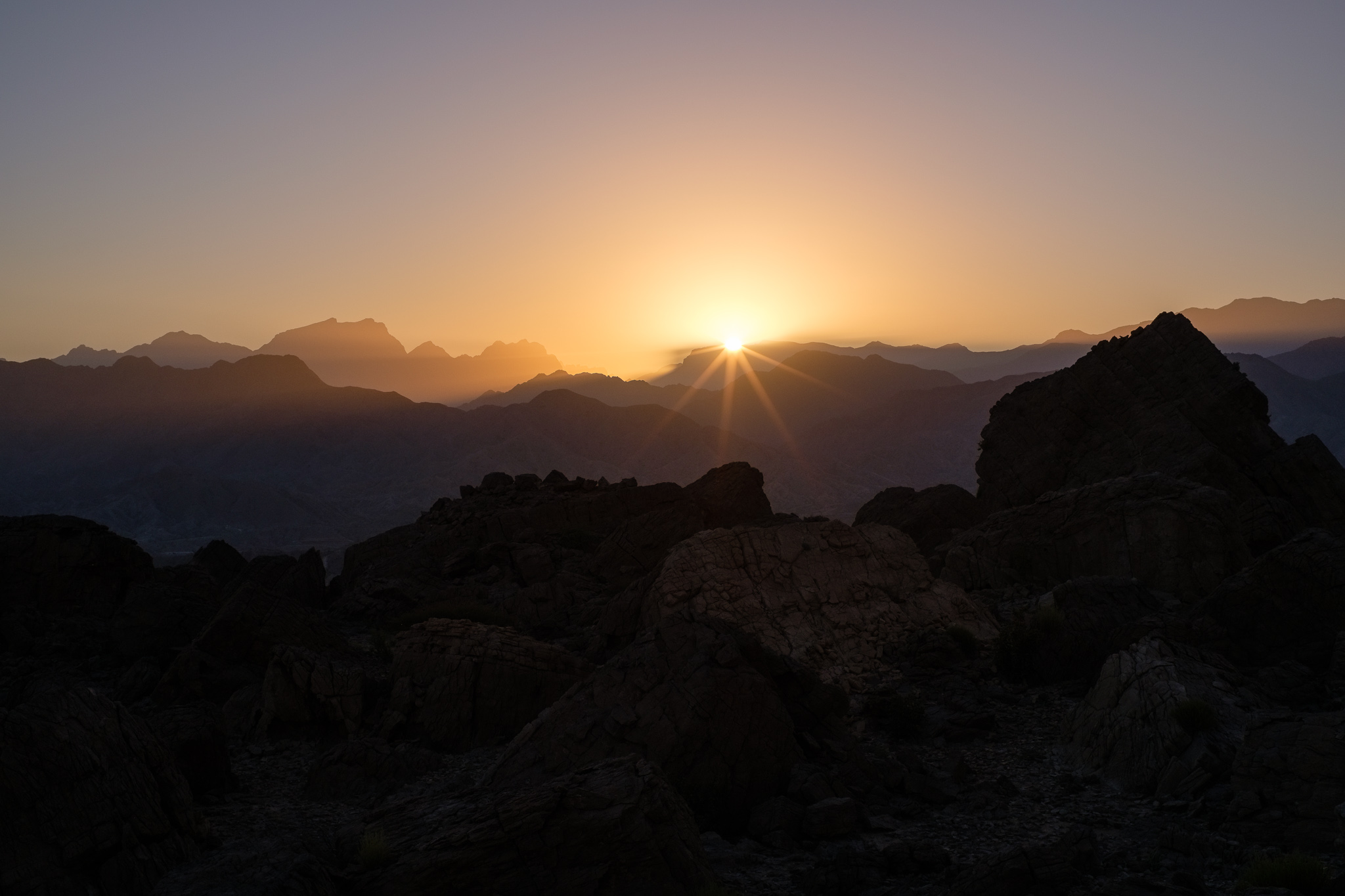
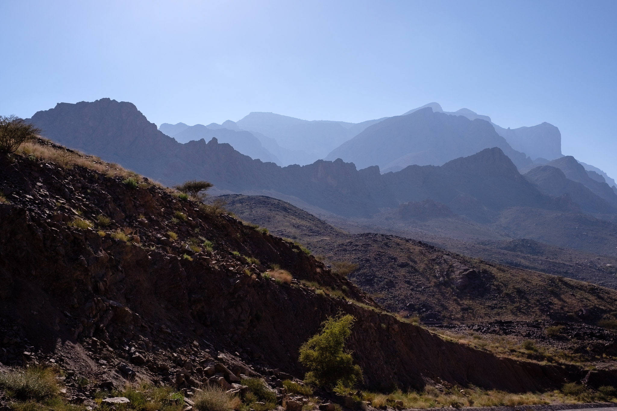
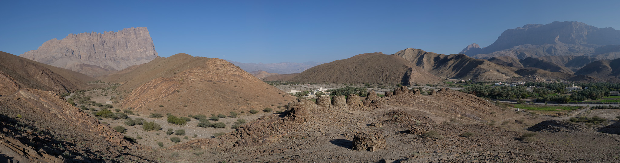
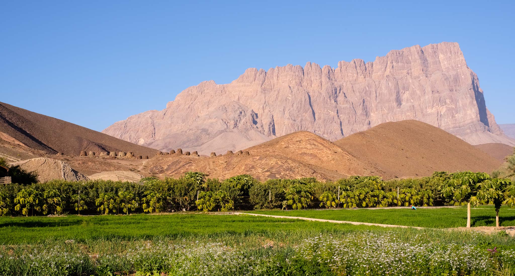
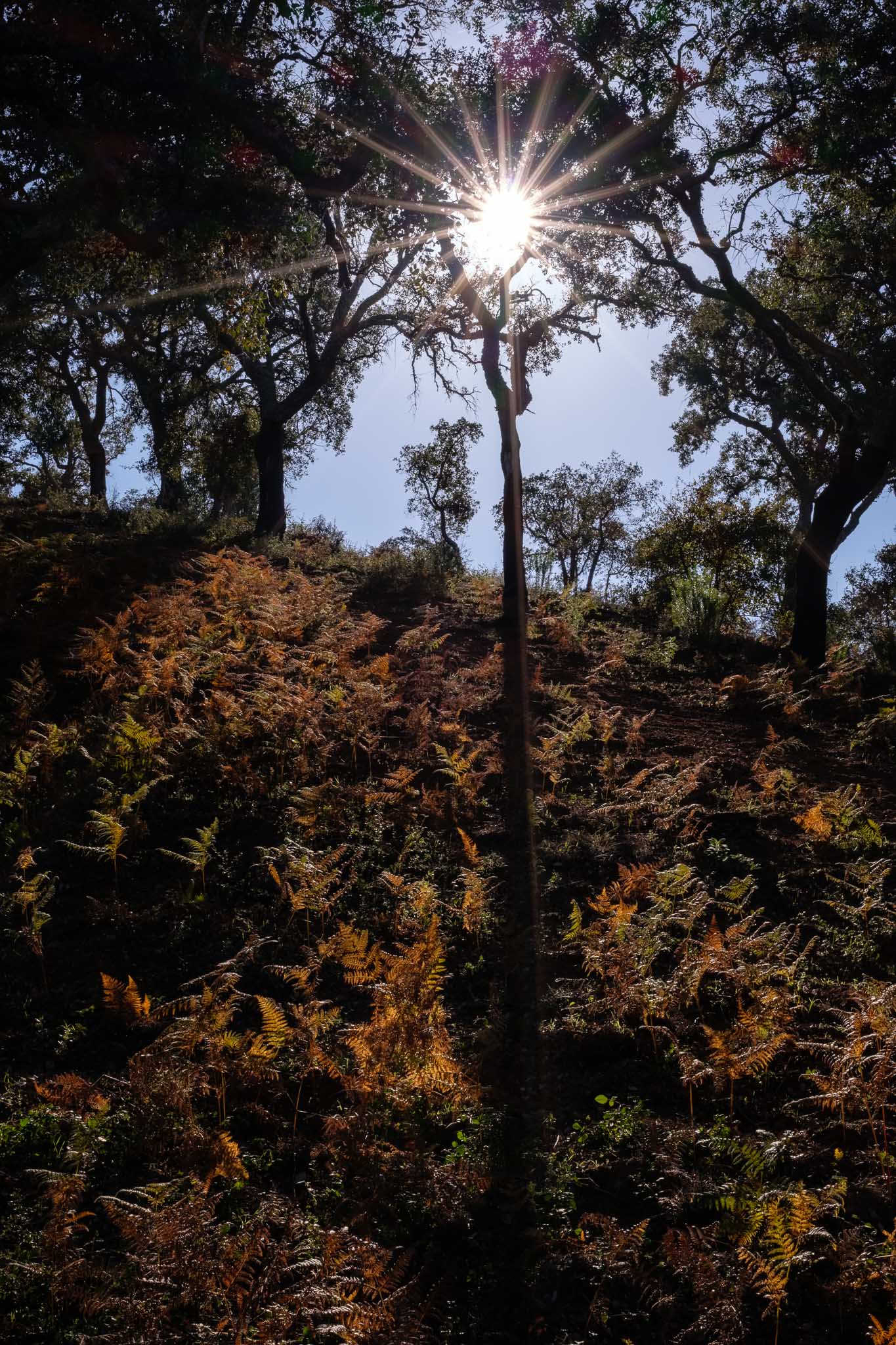
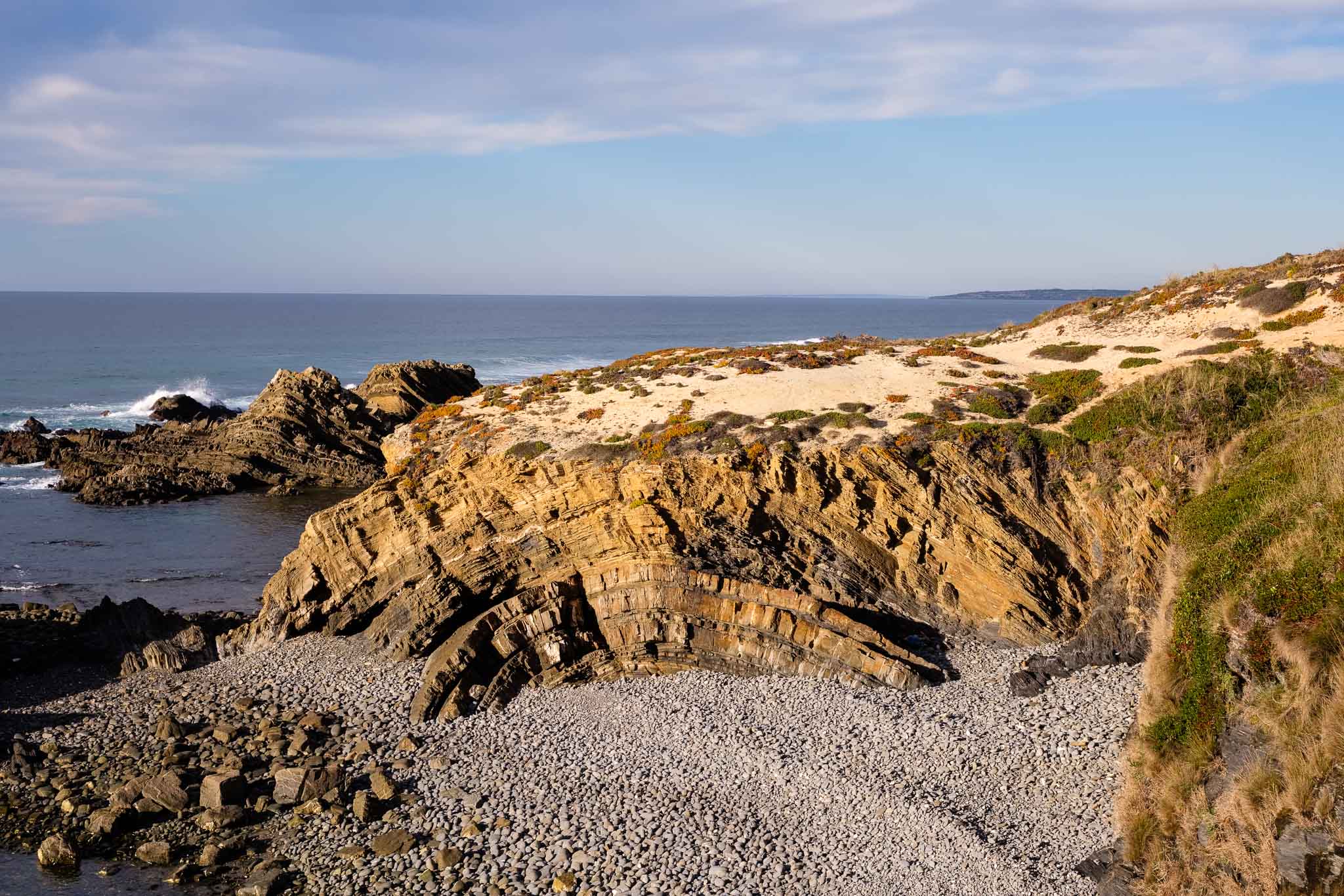
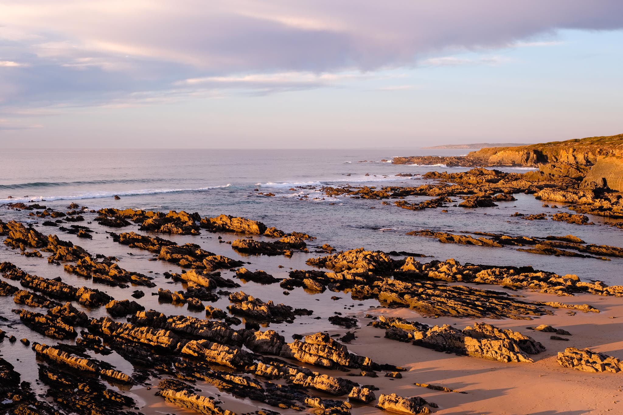
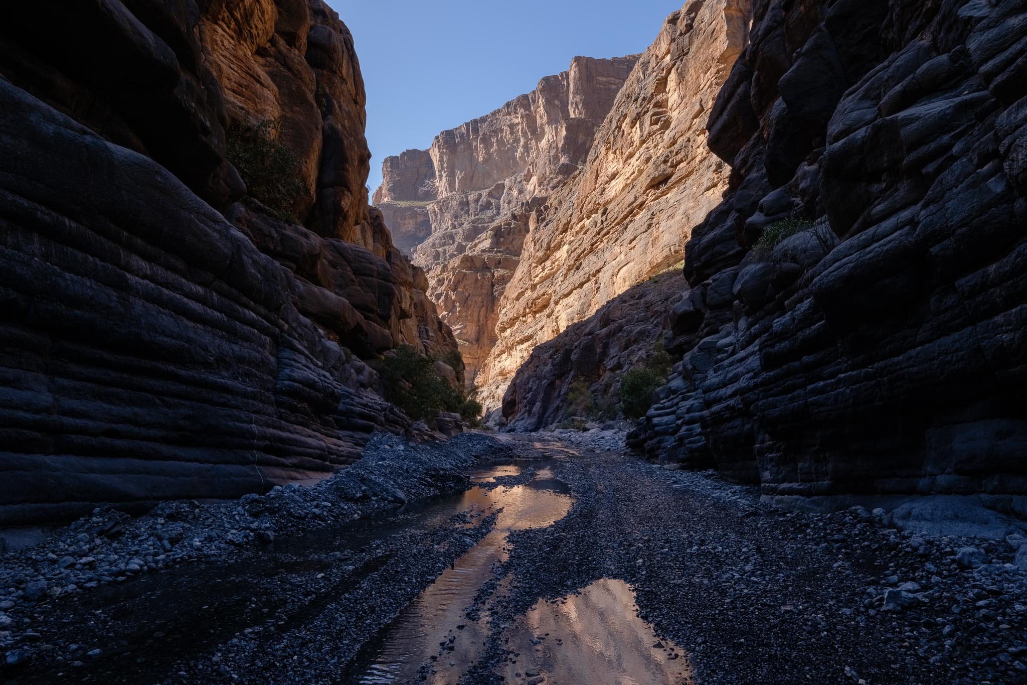
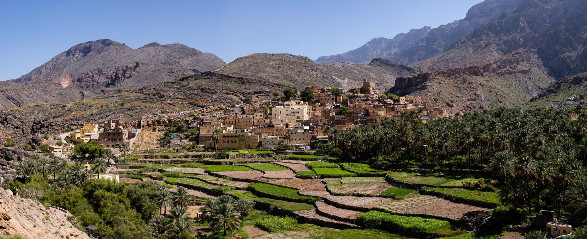
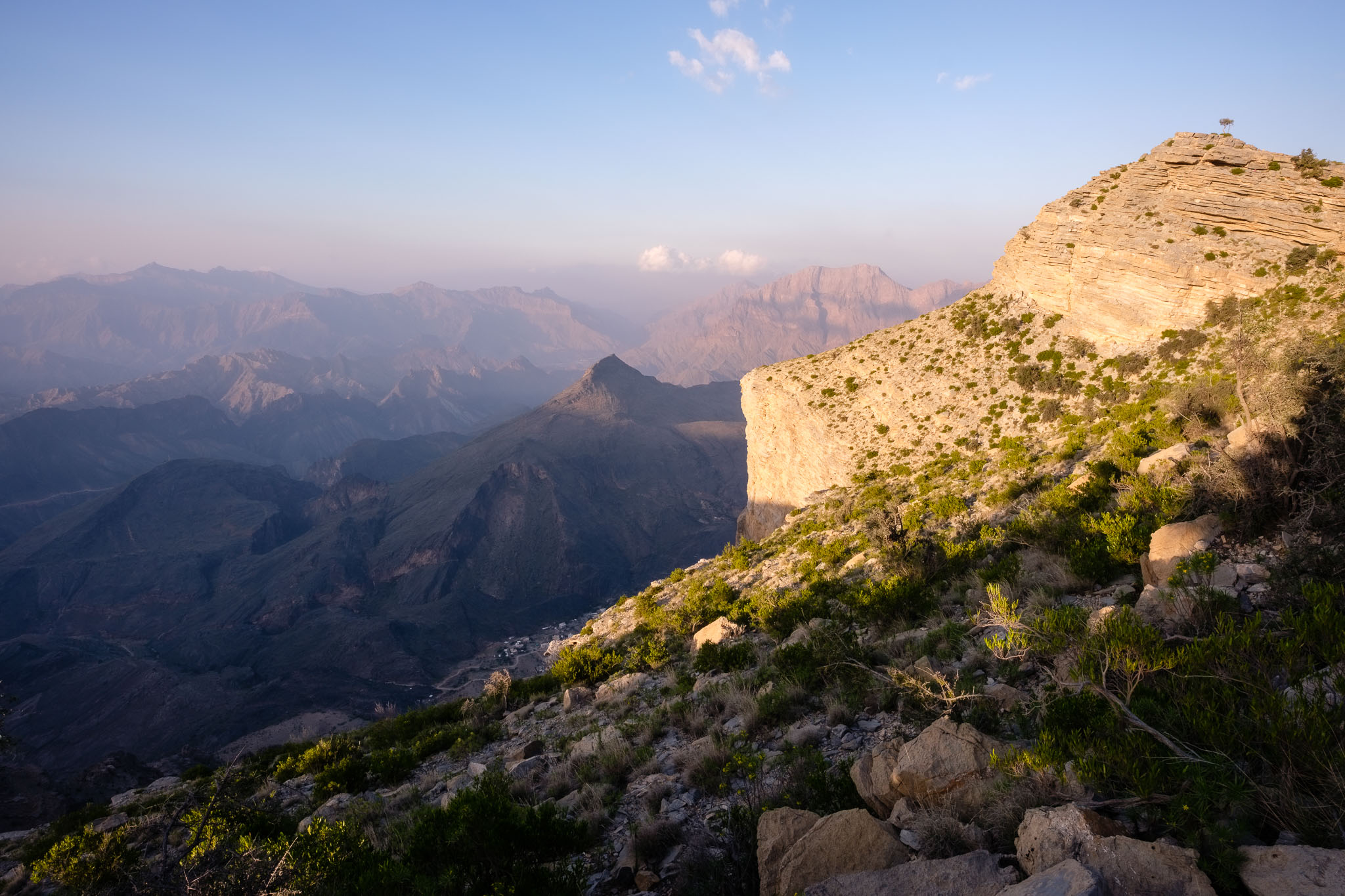
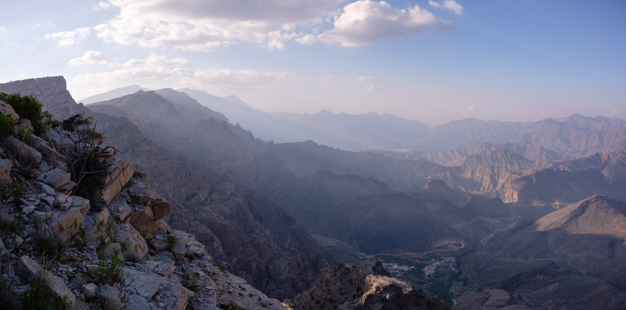
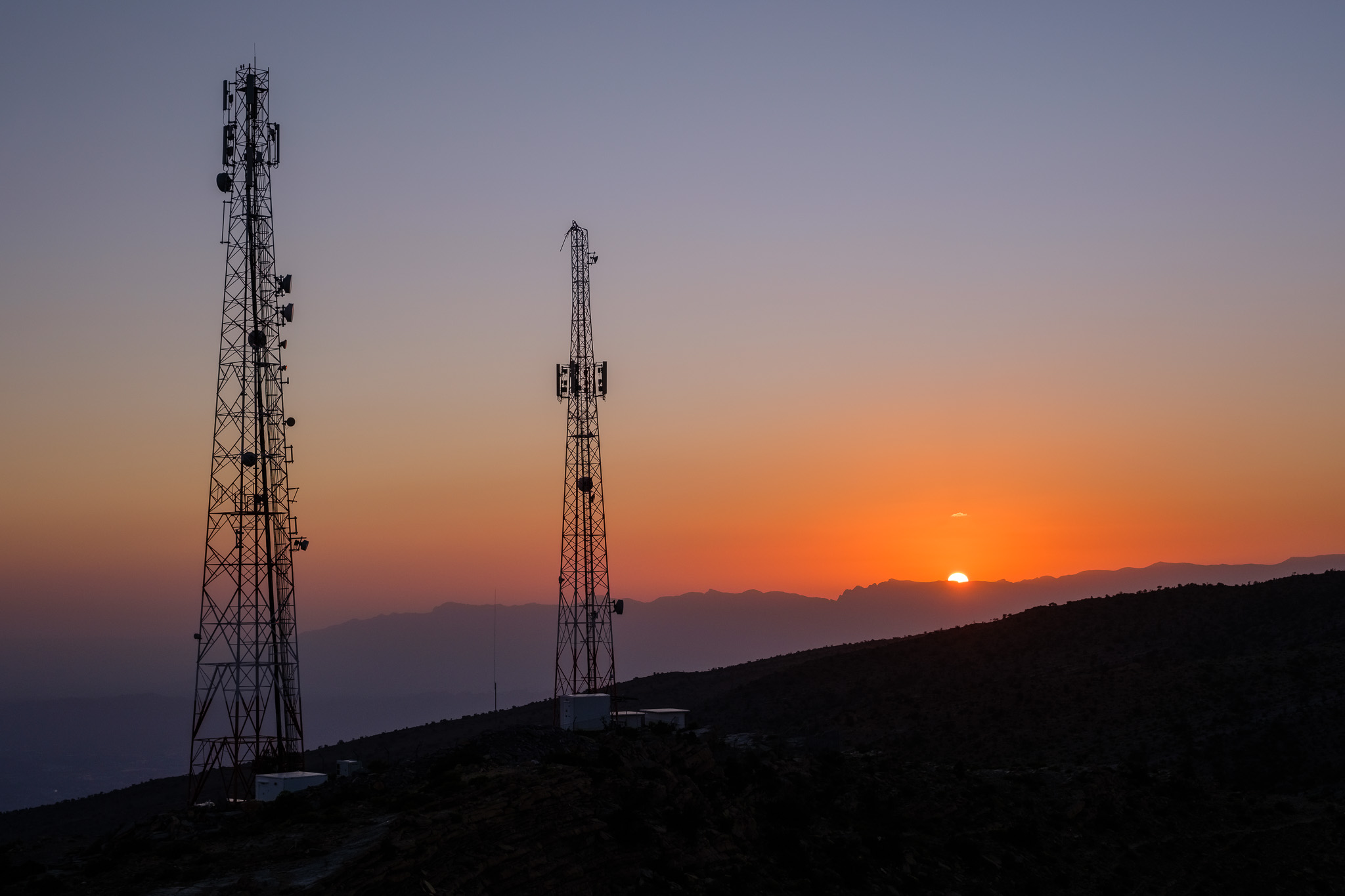
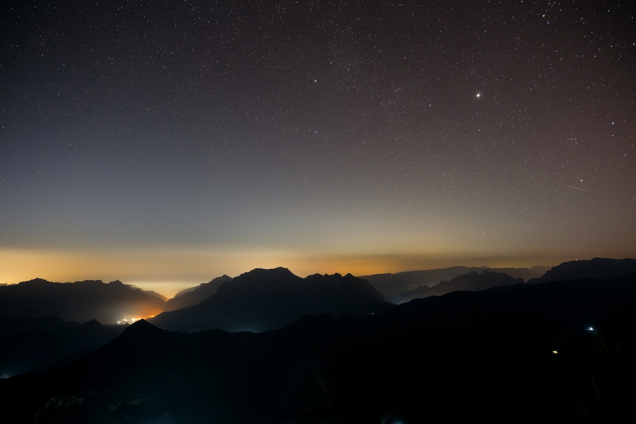
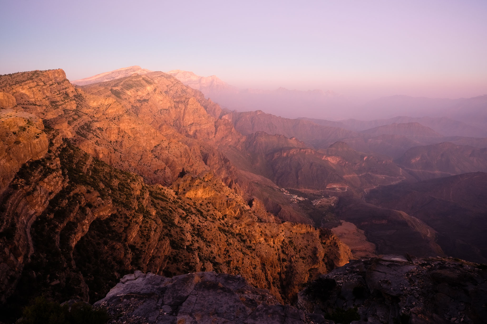
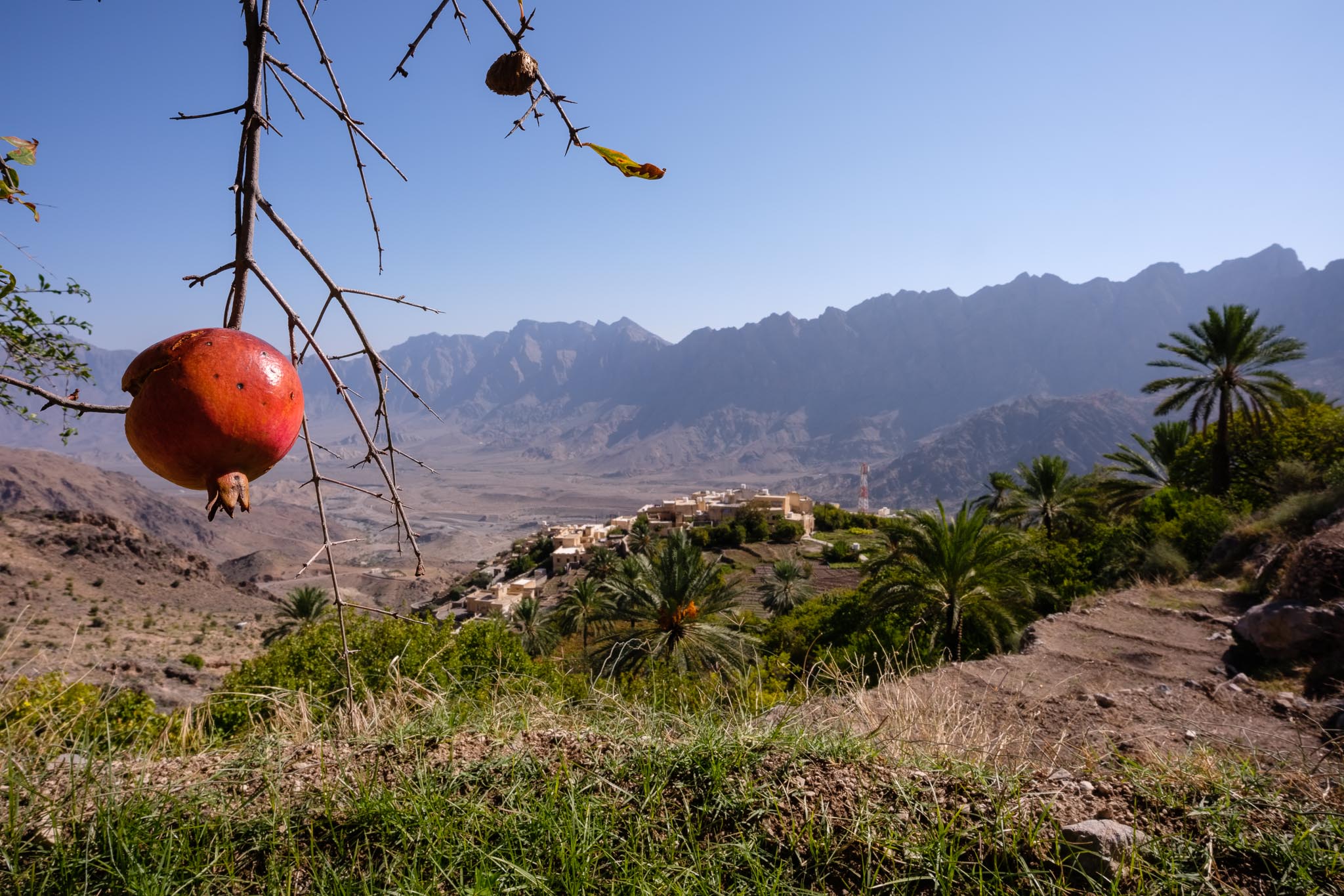
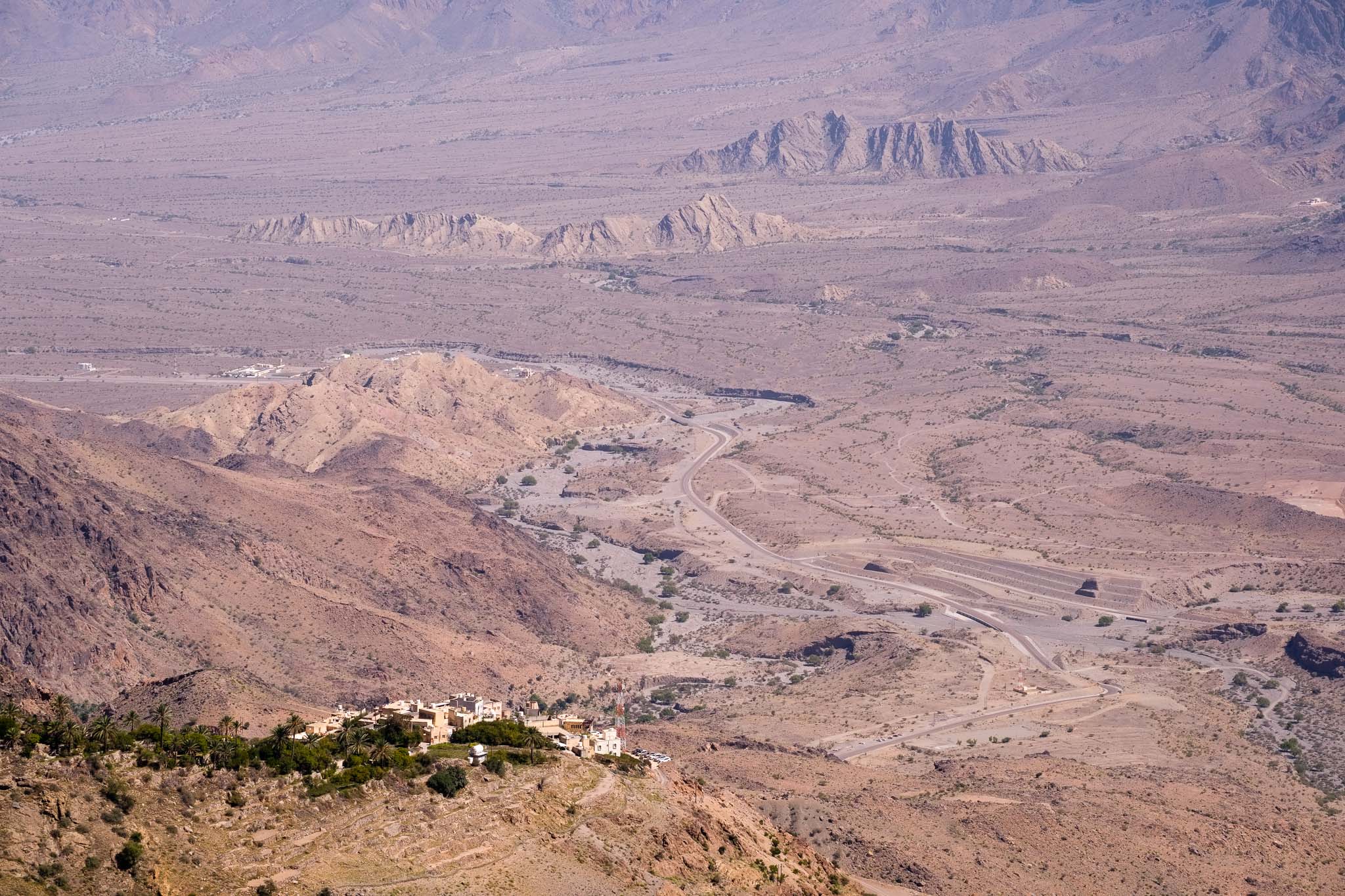
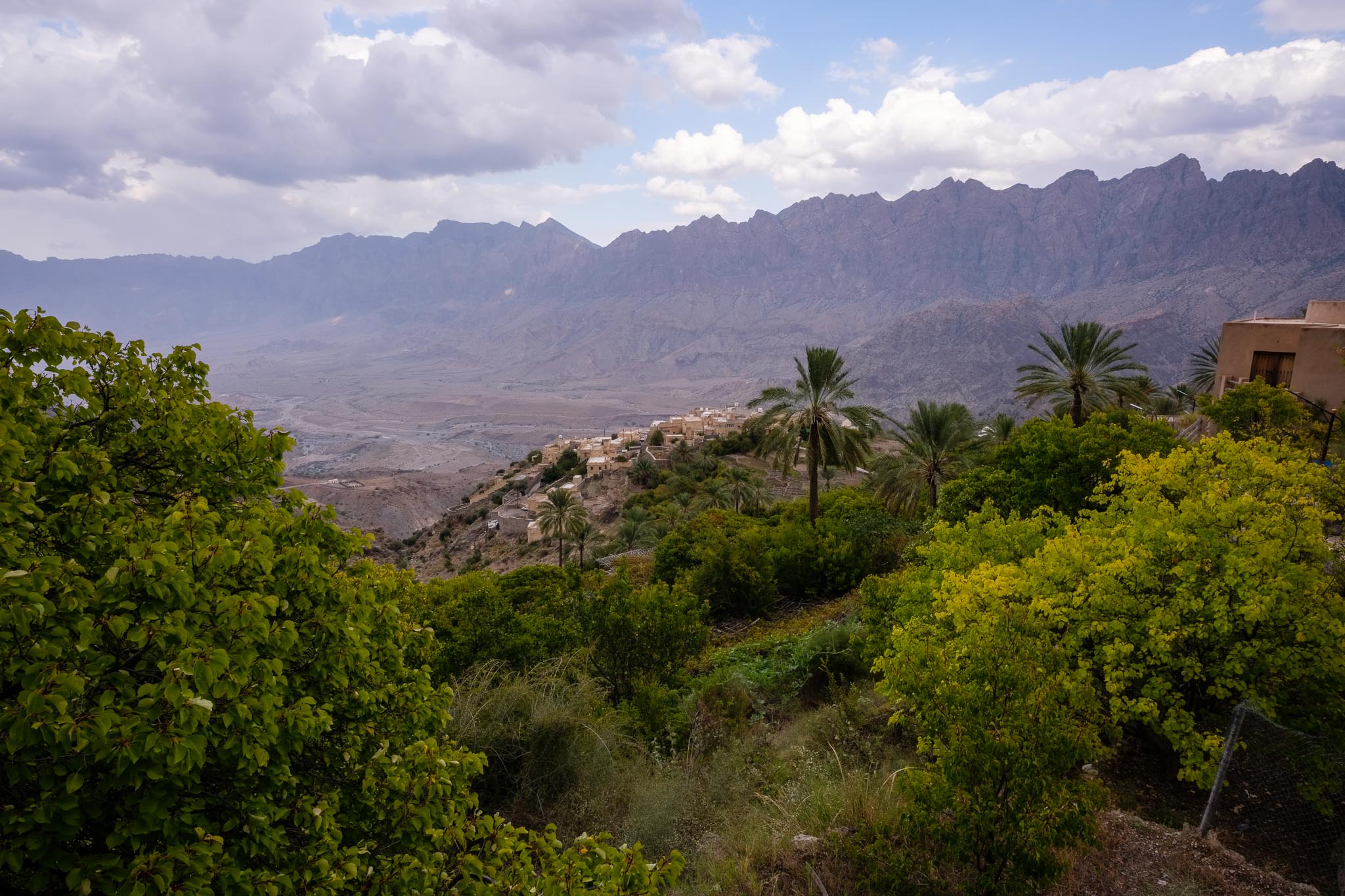
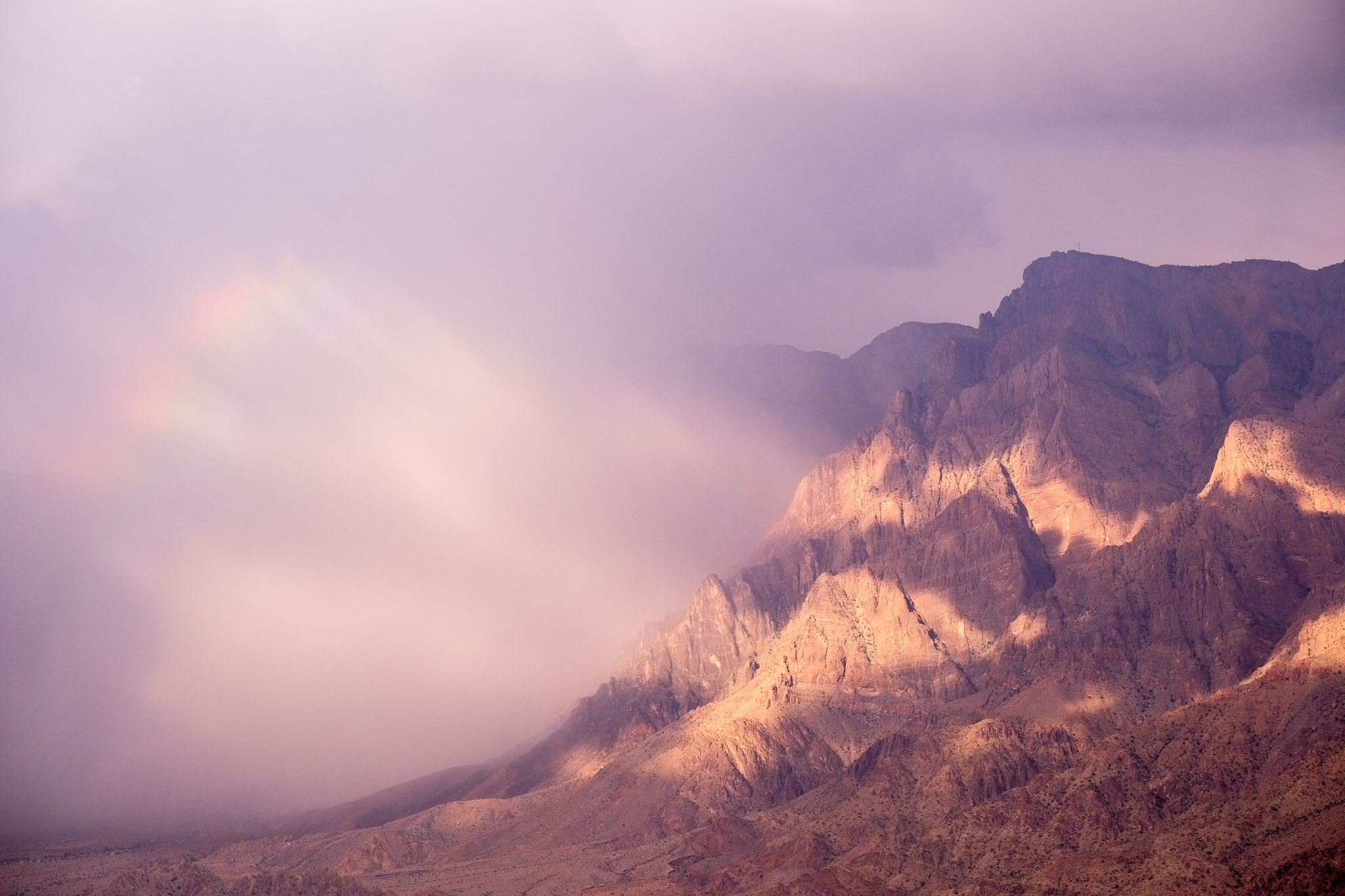
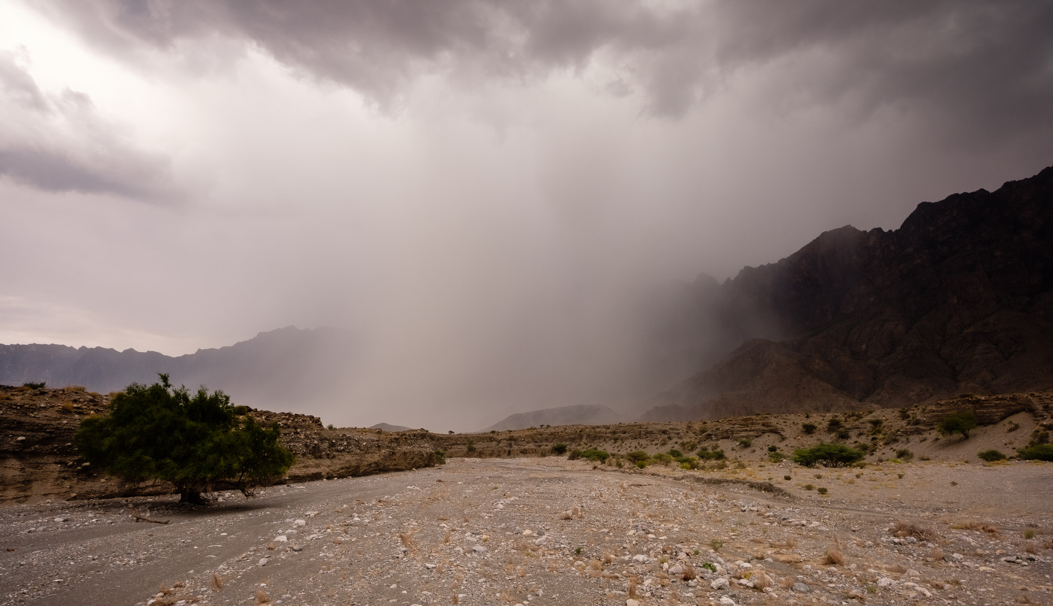
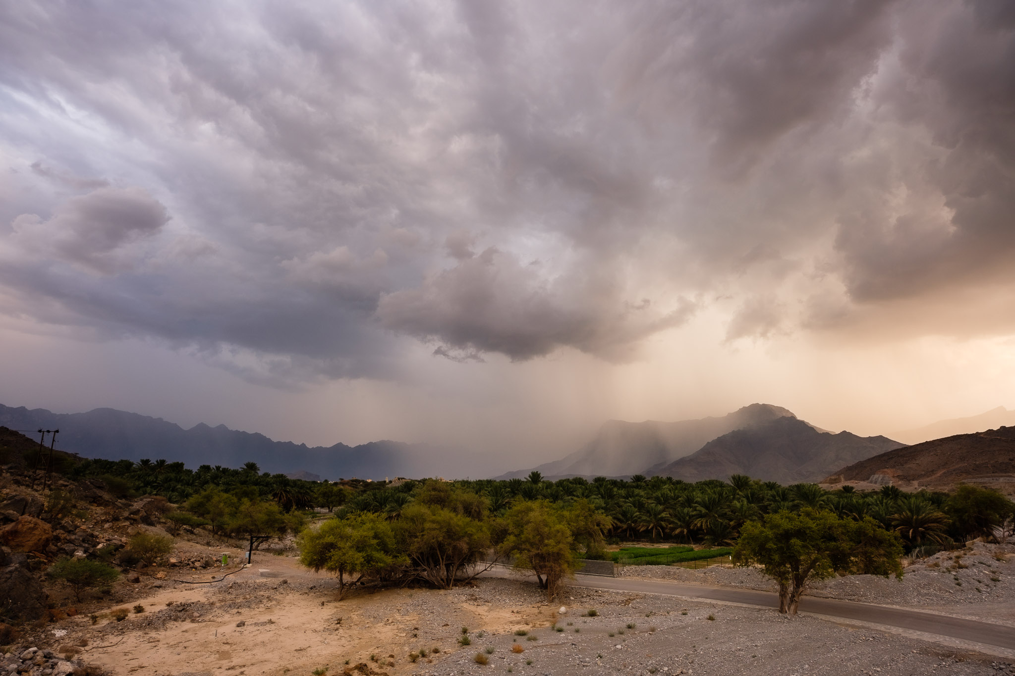
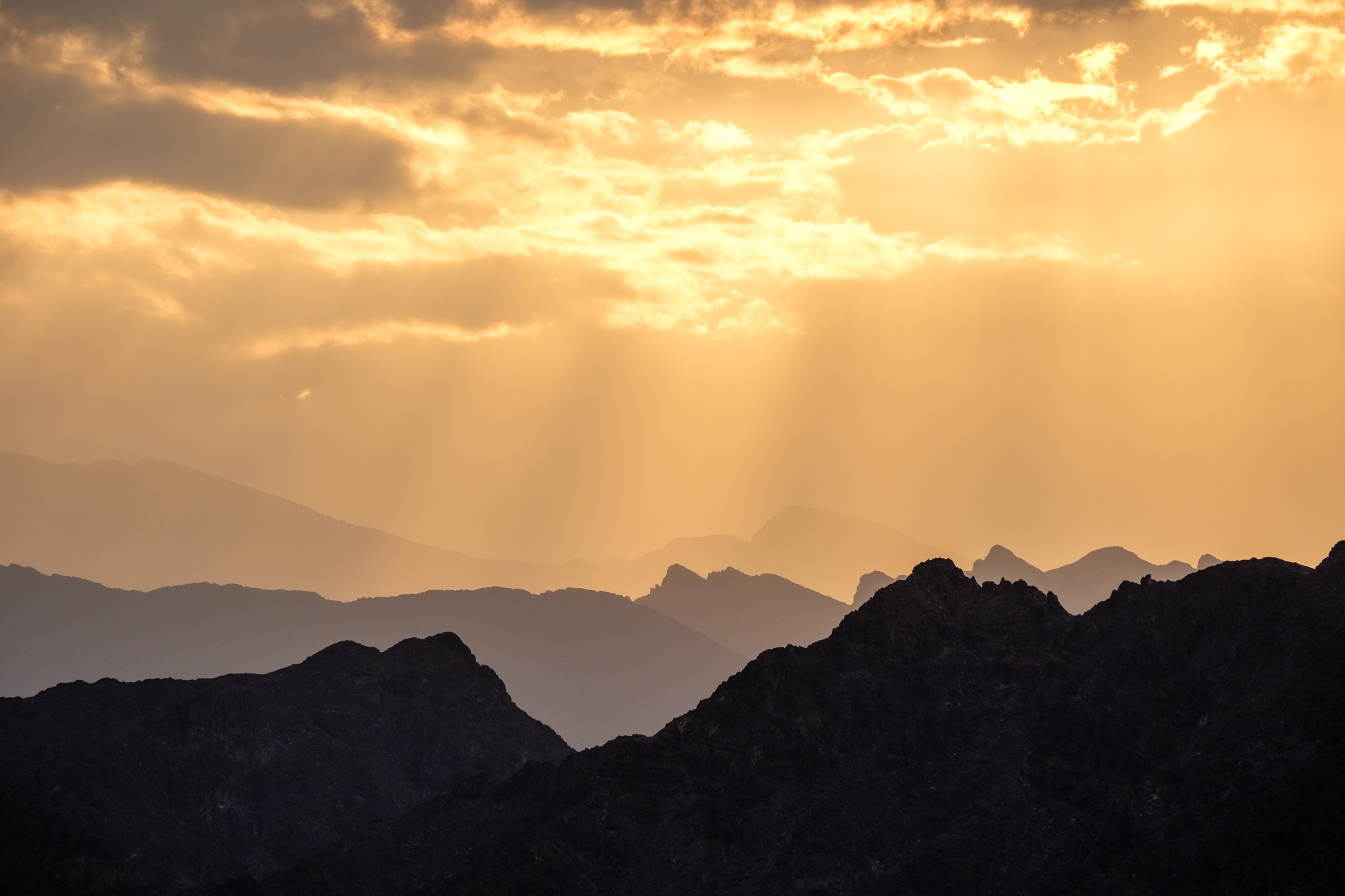
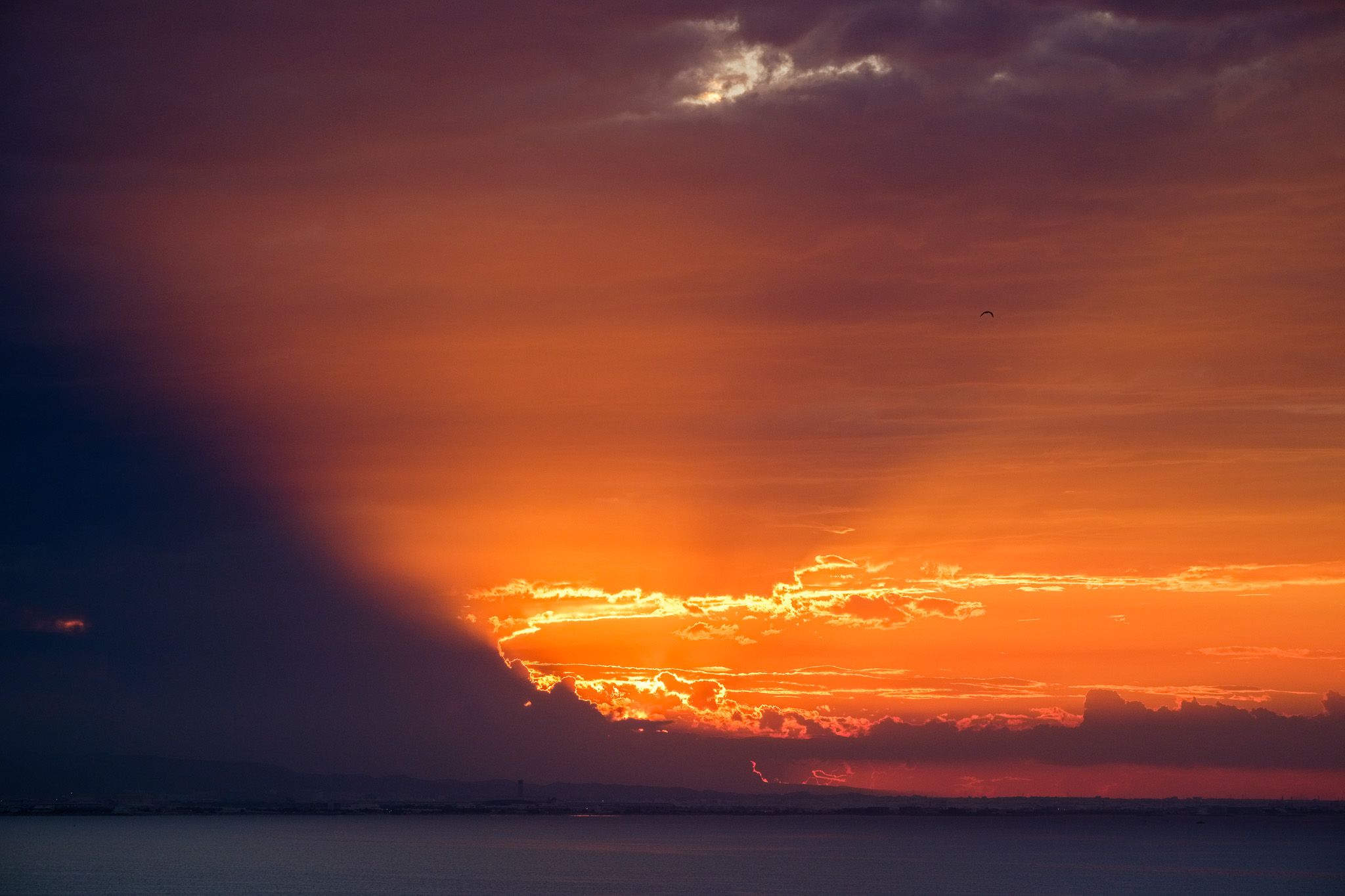
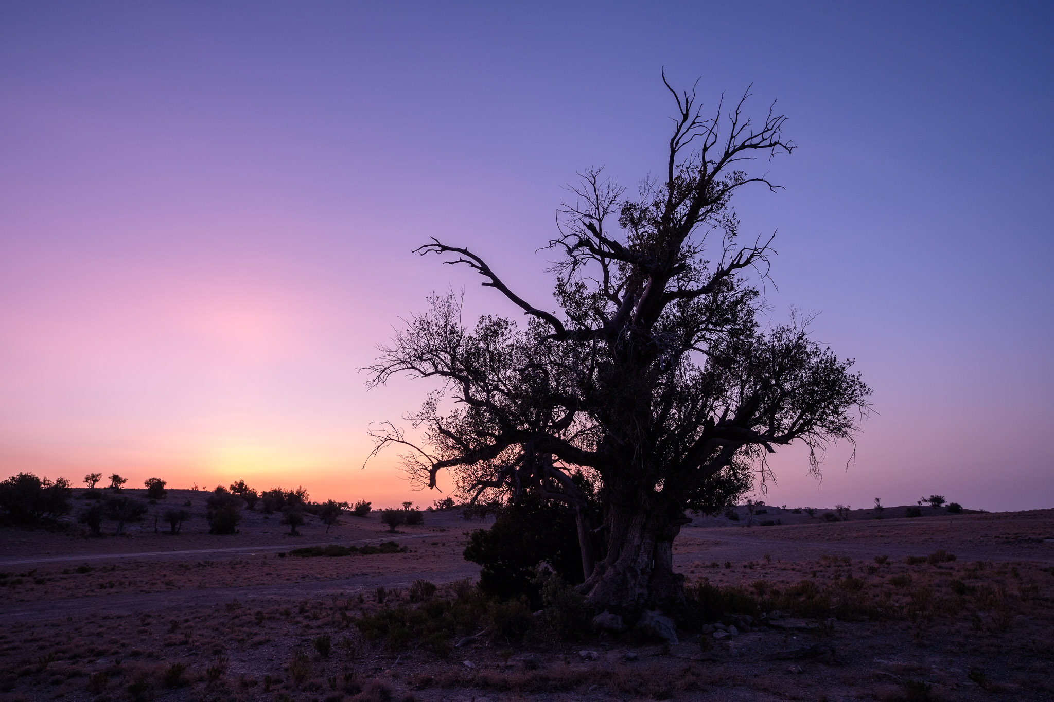
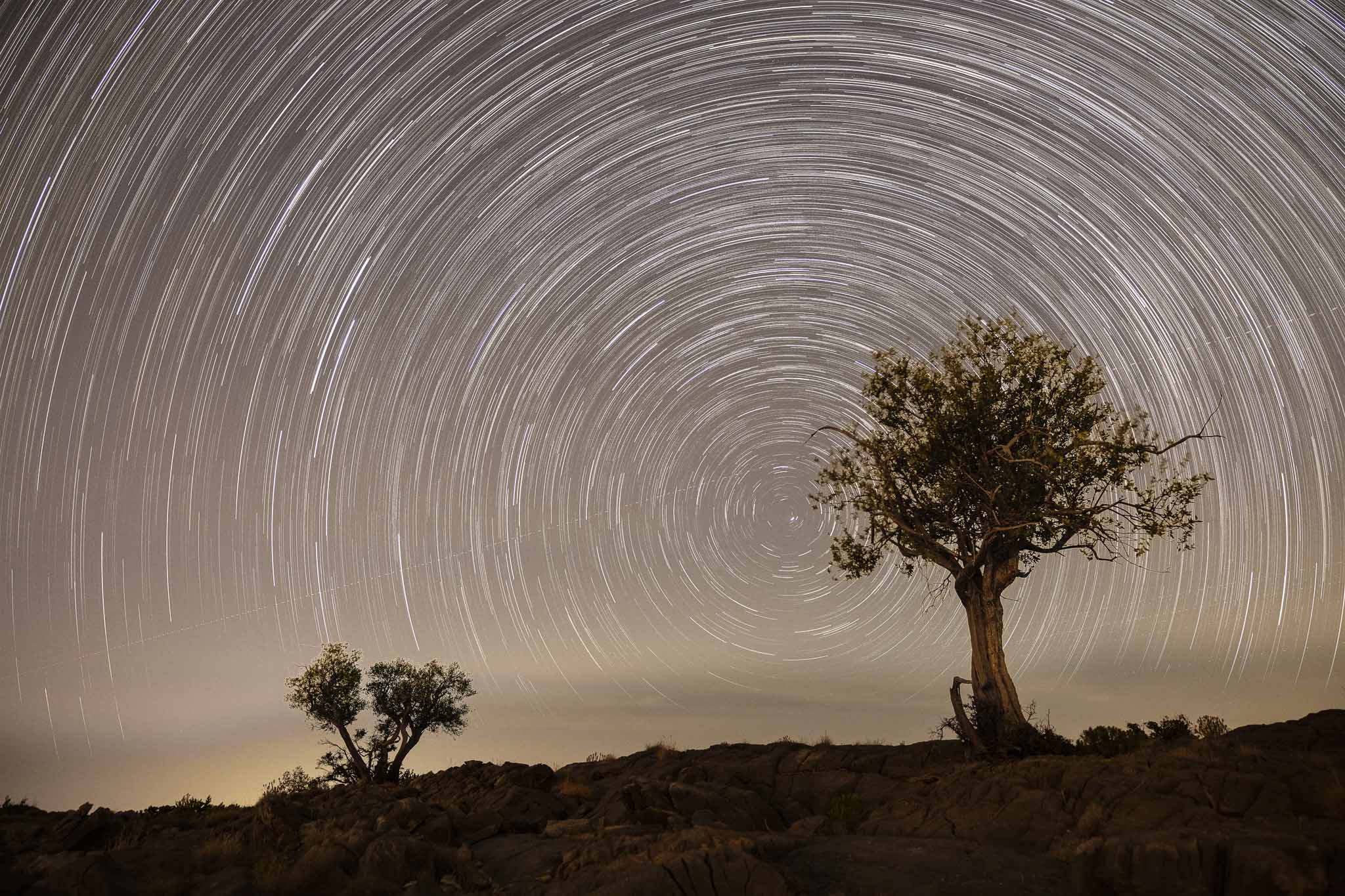
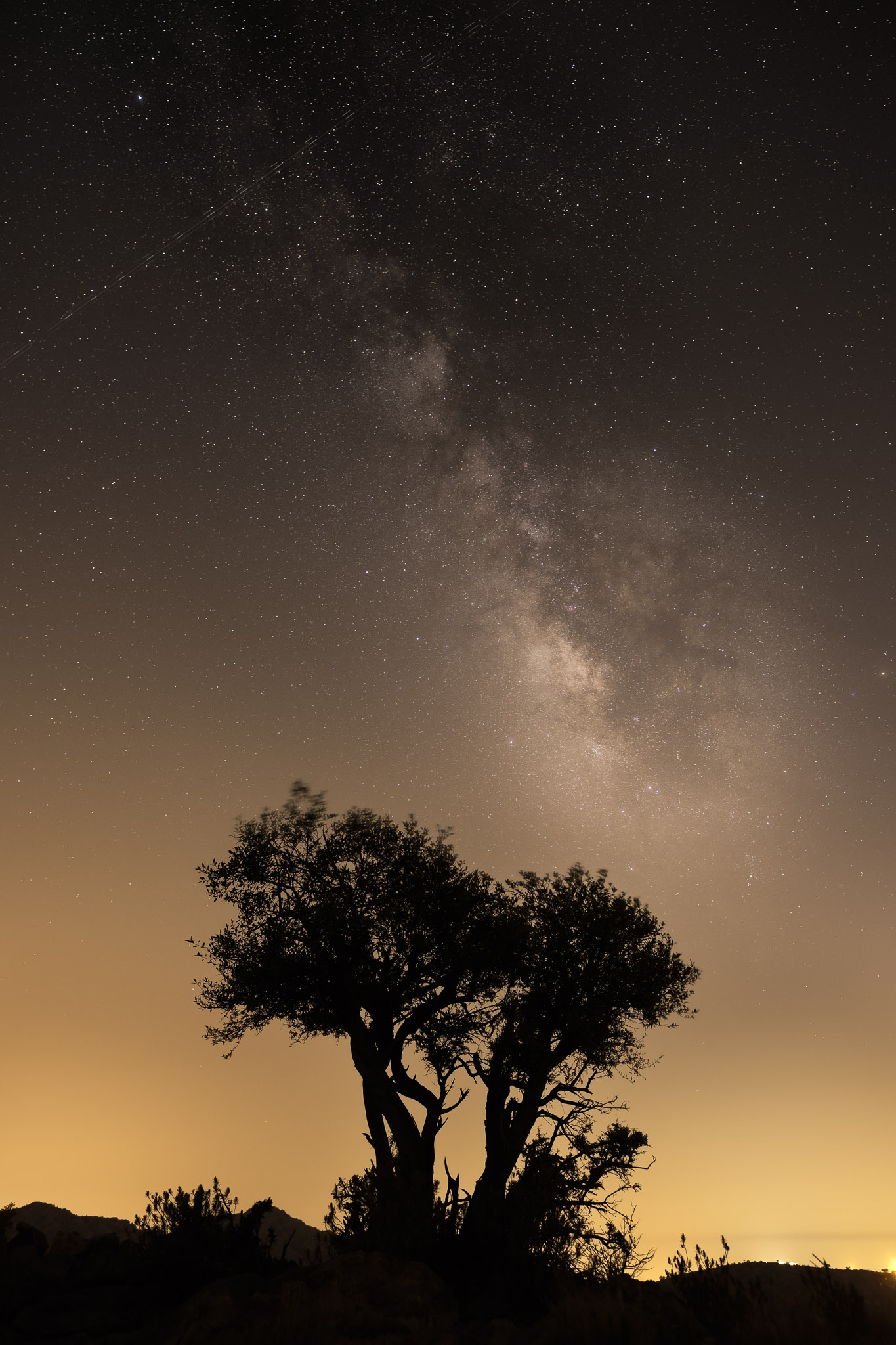
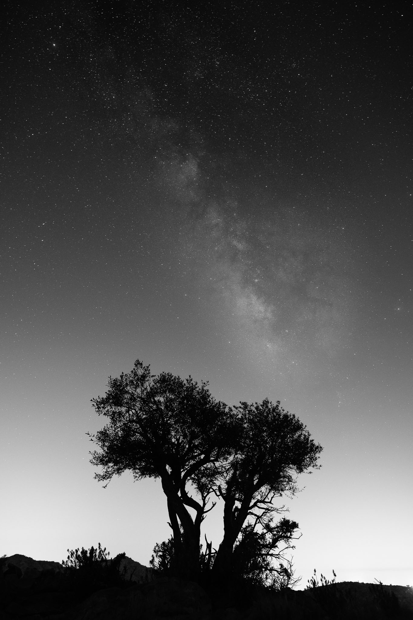
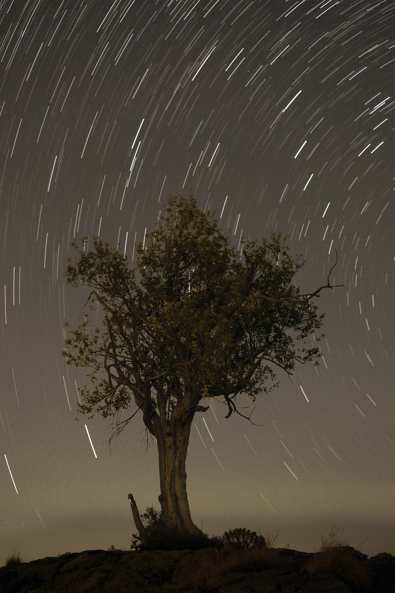
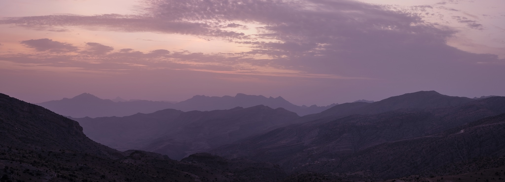
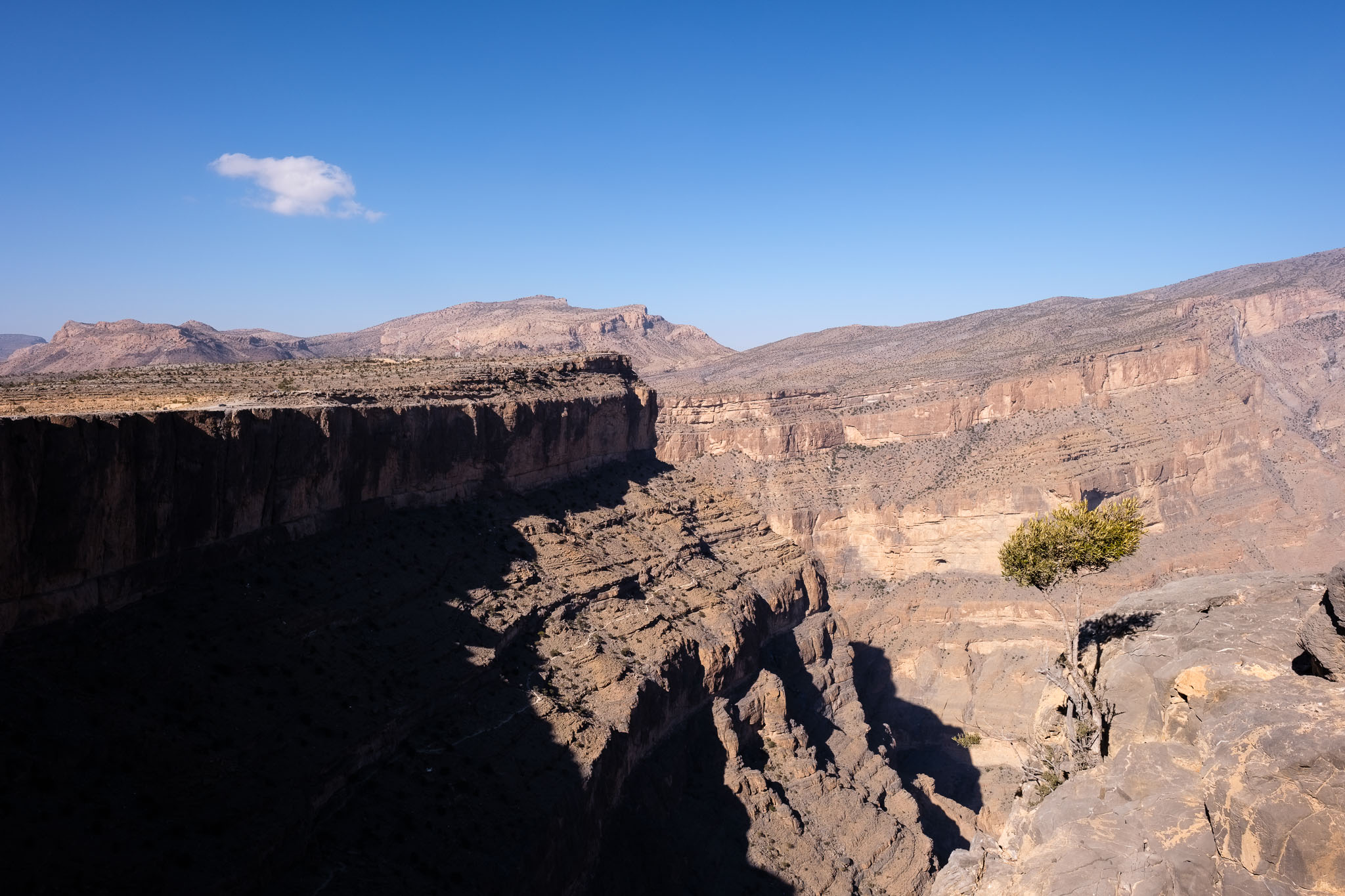
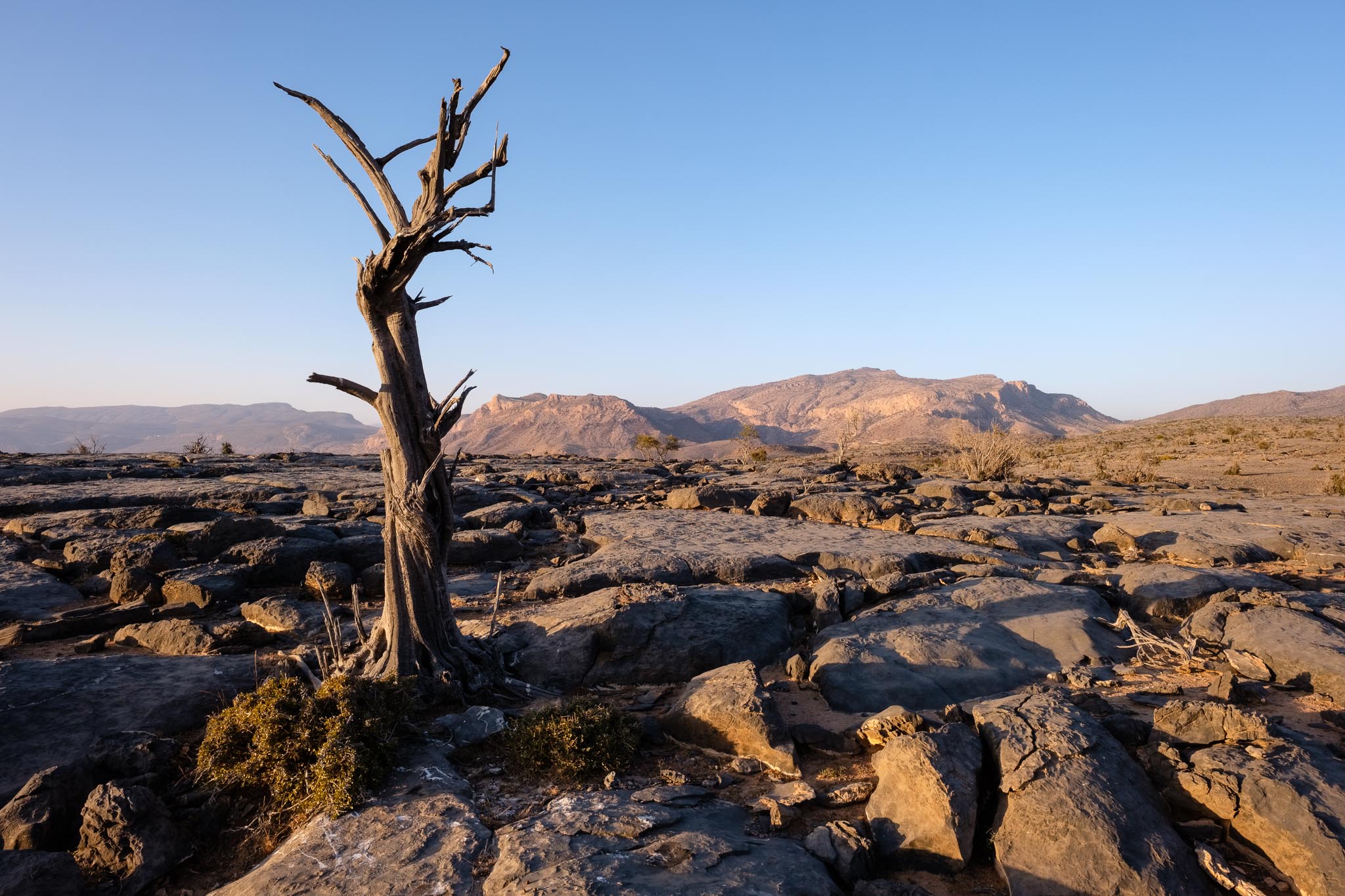
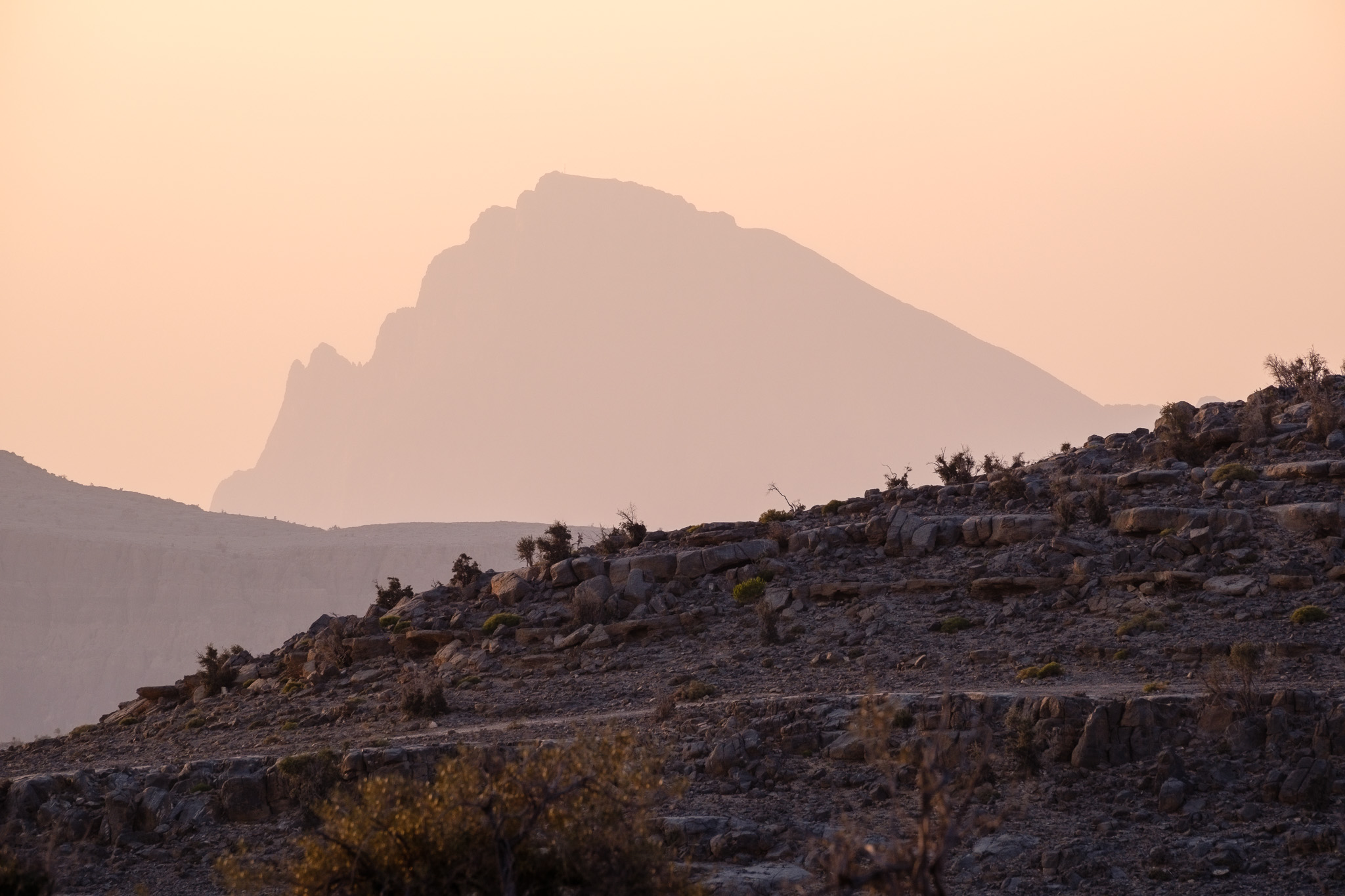
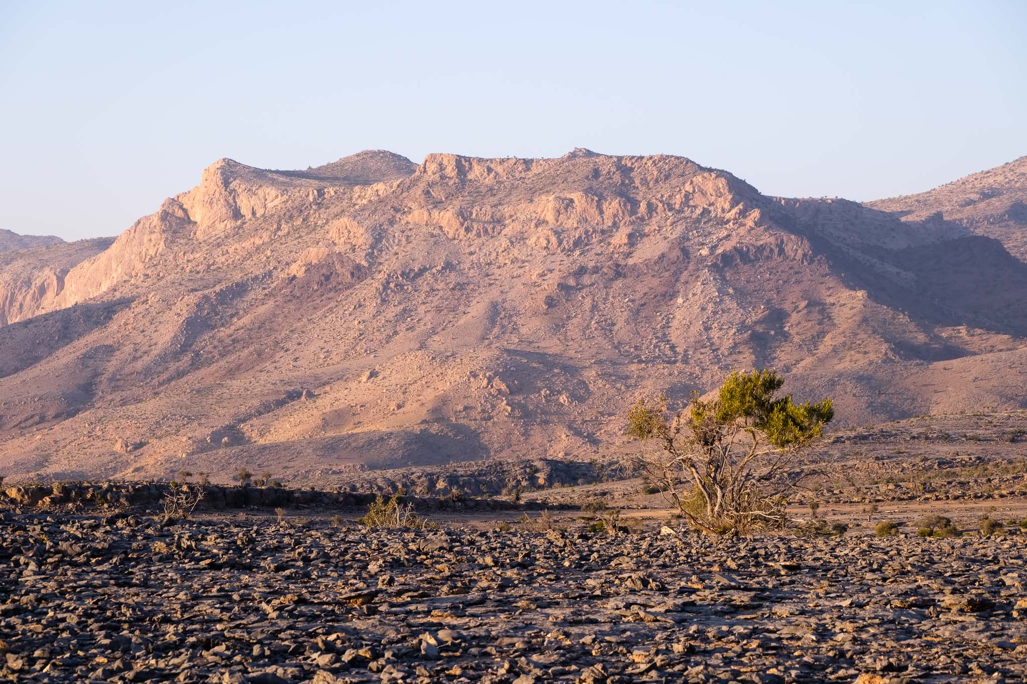
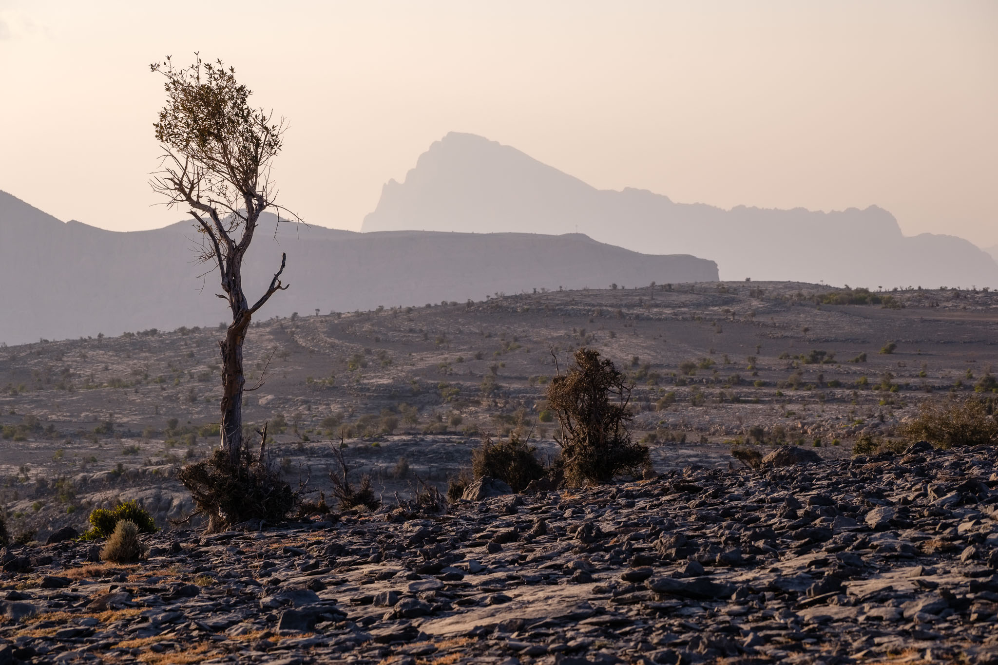
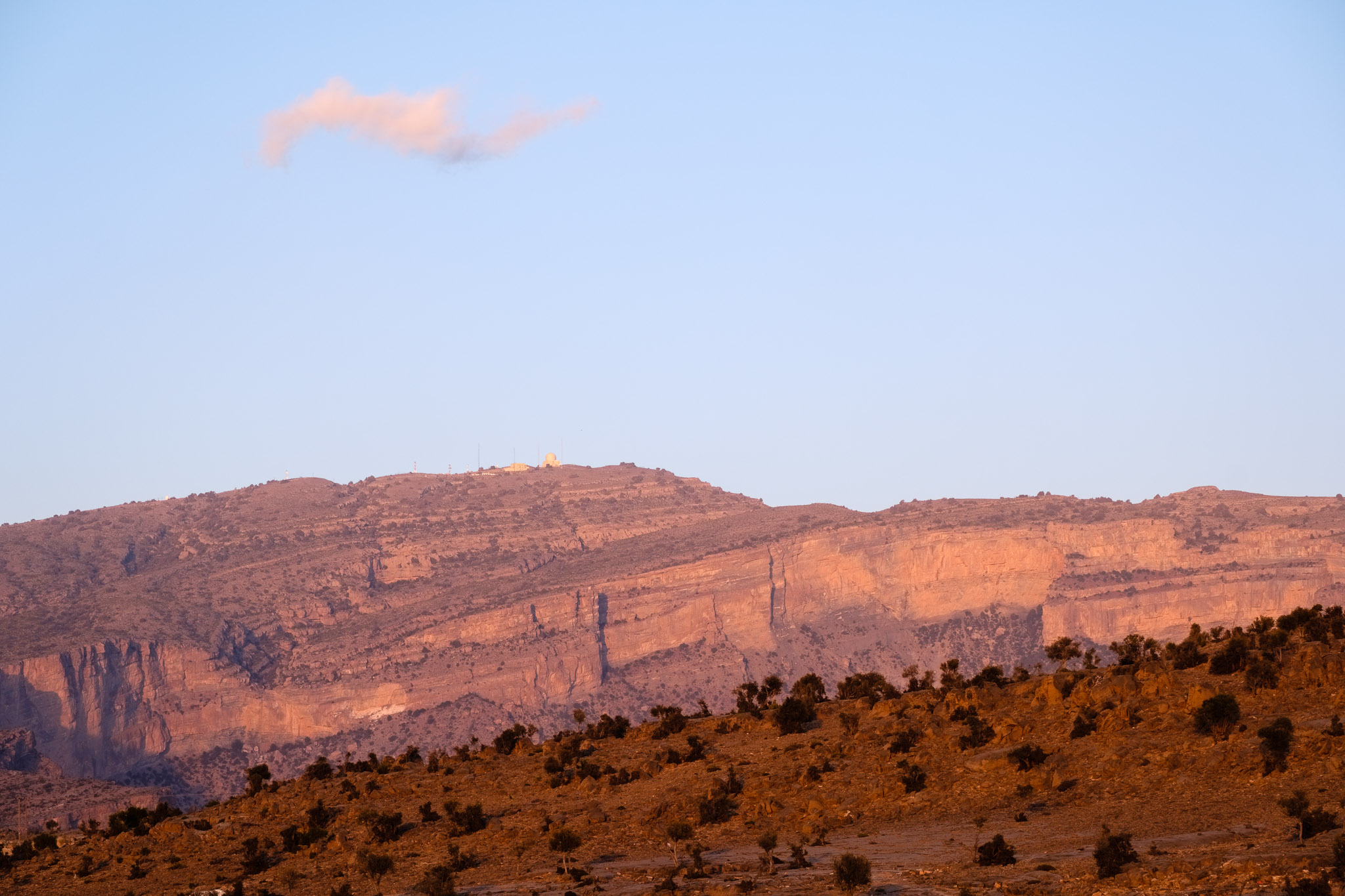
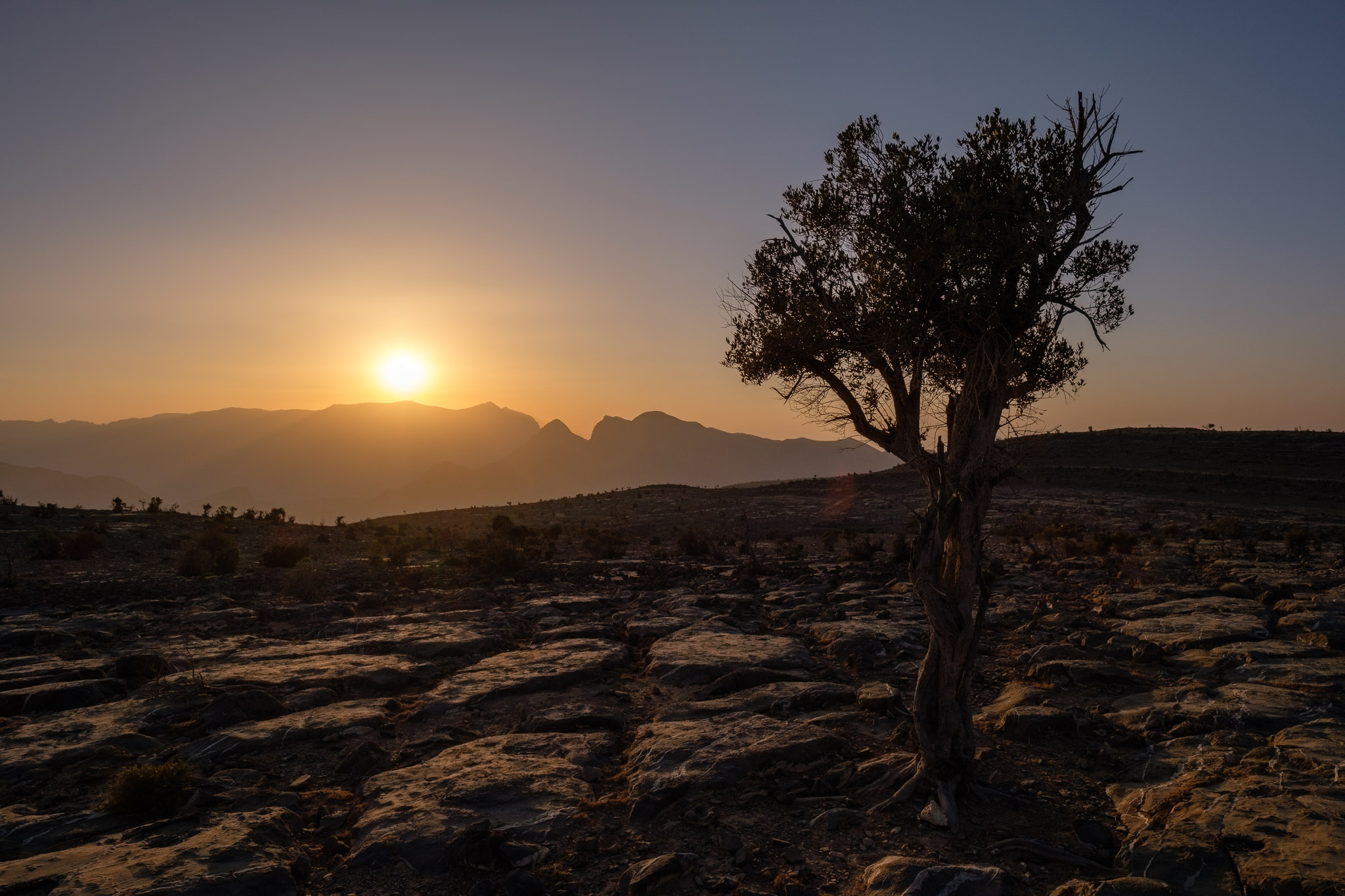
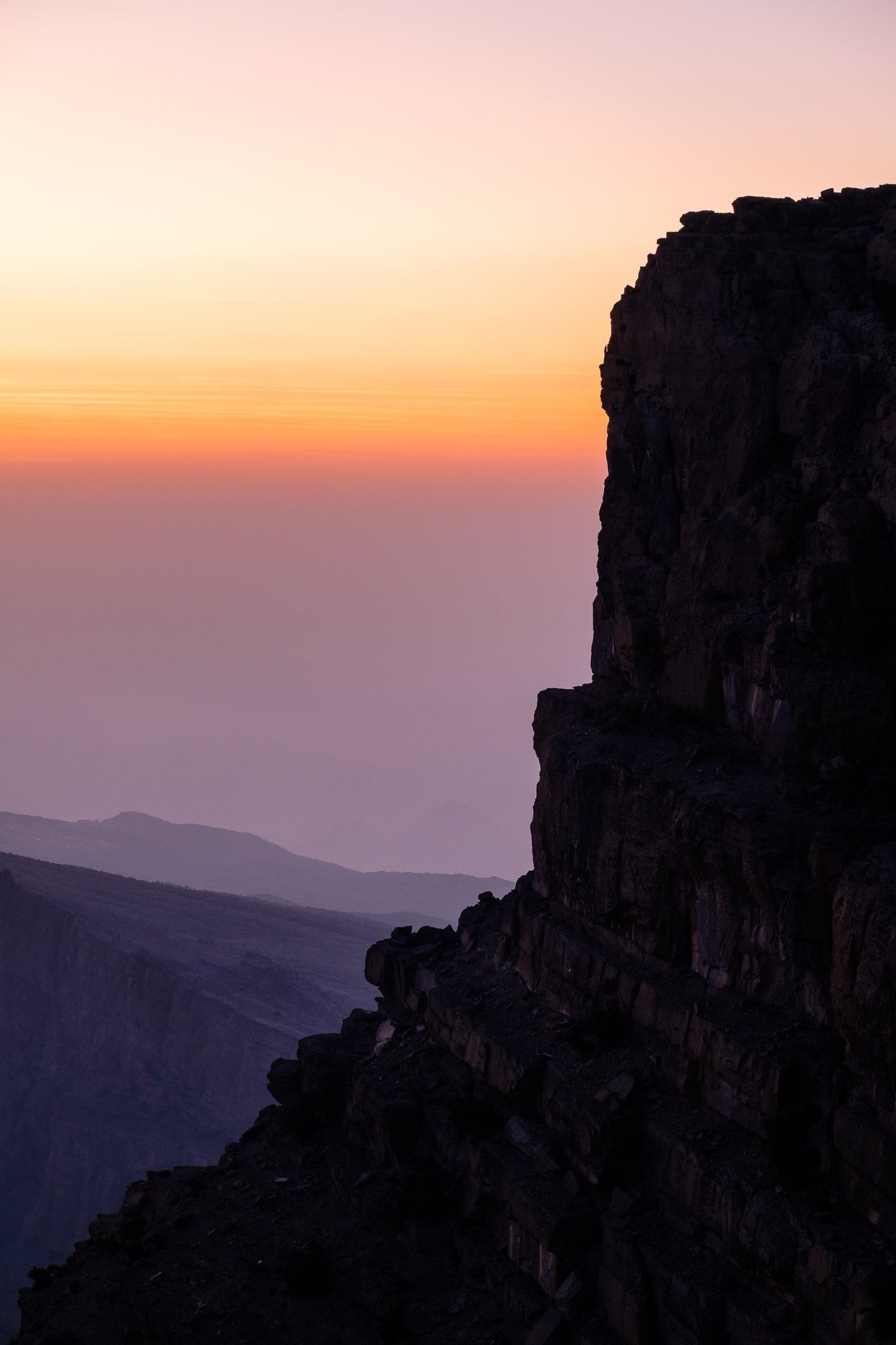
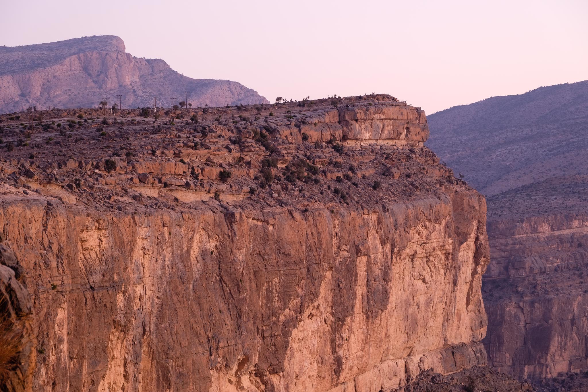
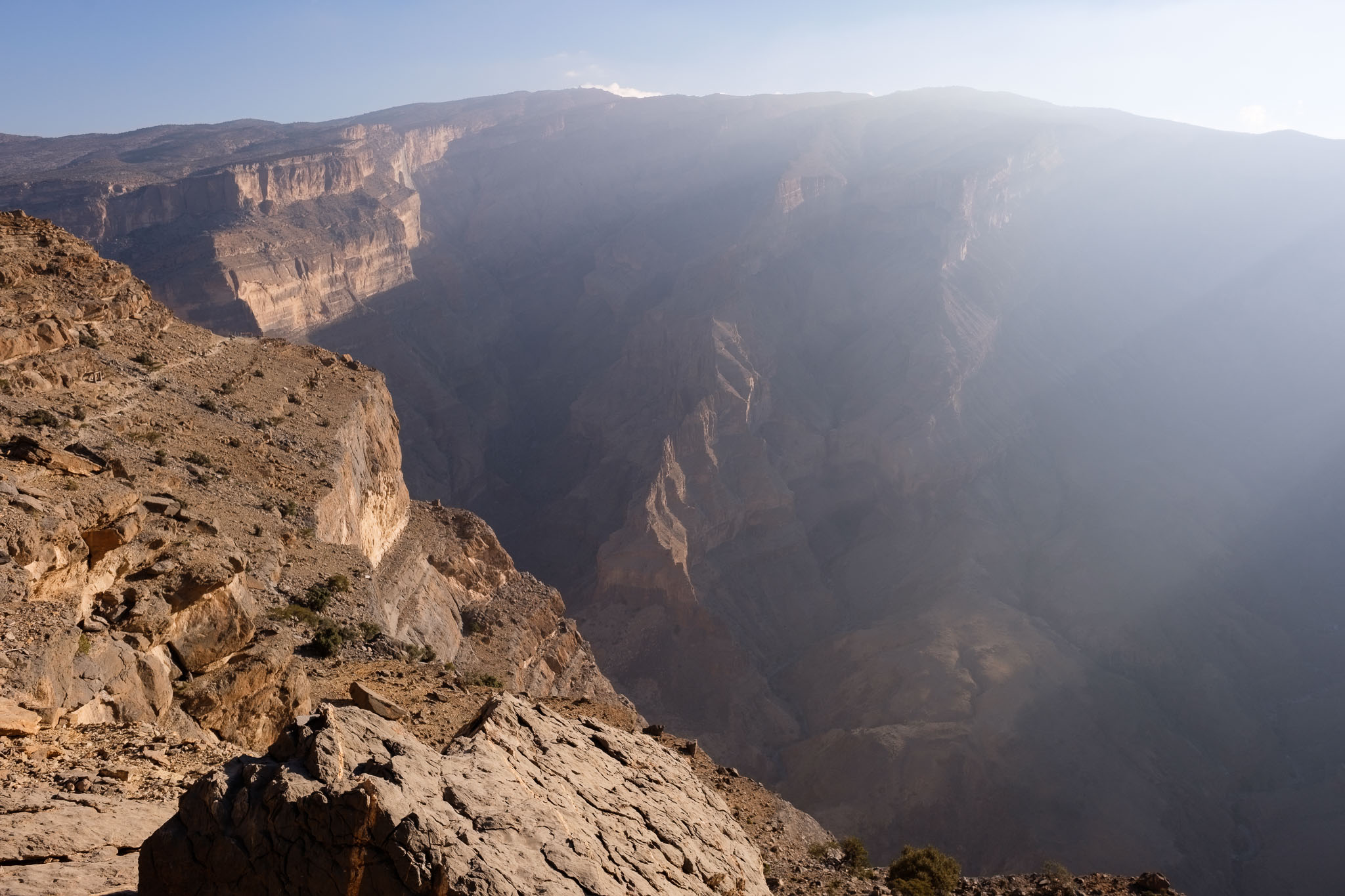
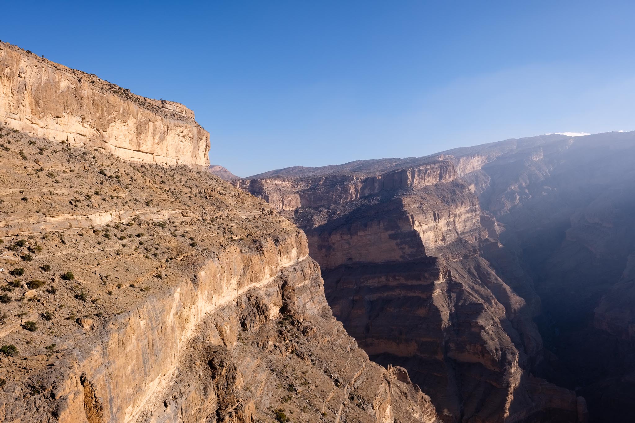
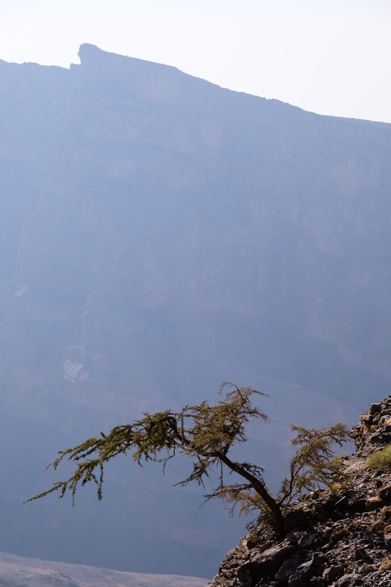
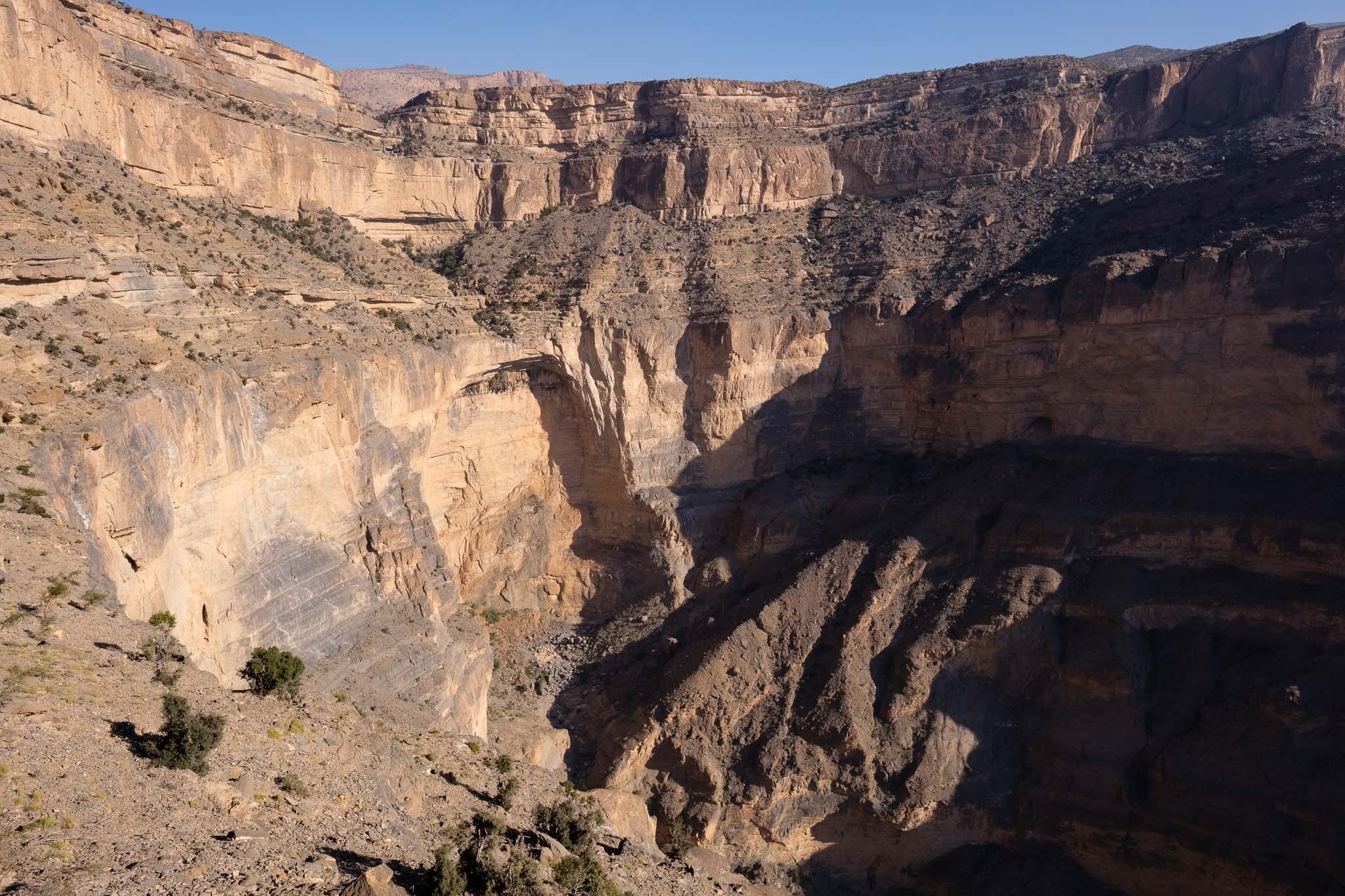
Compared to 20 years ago, things have changed a bit, there are now a couple of resorts, so camping is not required anymore. Still, that is my preference, as I want to fully enjoy the quiet isolation and the mountain environment. I chose my campsite location to be close to the edge of the canyon, with a fantastic view over the entire Jebel Shams. I recognized the radar installation and antennas on the other side of the canyon, built at the highest point. After setting up my tent, I walked around the area until sunset, taking photos of the Grand Canyon, which is impressive. I was looking down into Wadi Nakhr 1,000 m below, and I was able to recognize a couple of villages from my previous walk in the wadi. I could also see the narrow trail that I would be taking the next day, seemingly a thin trace on the side of the mountain. The visibility was great, thanks to the absence of haze.

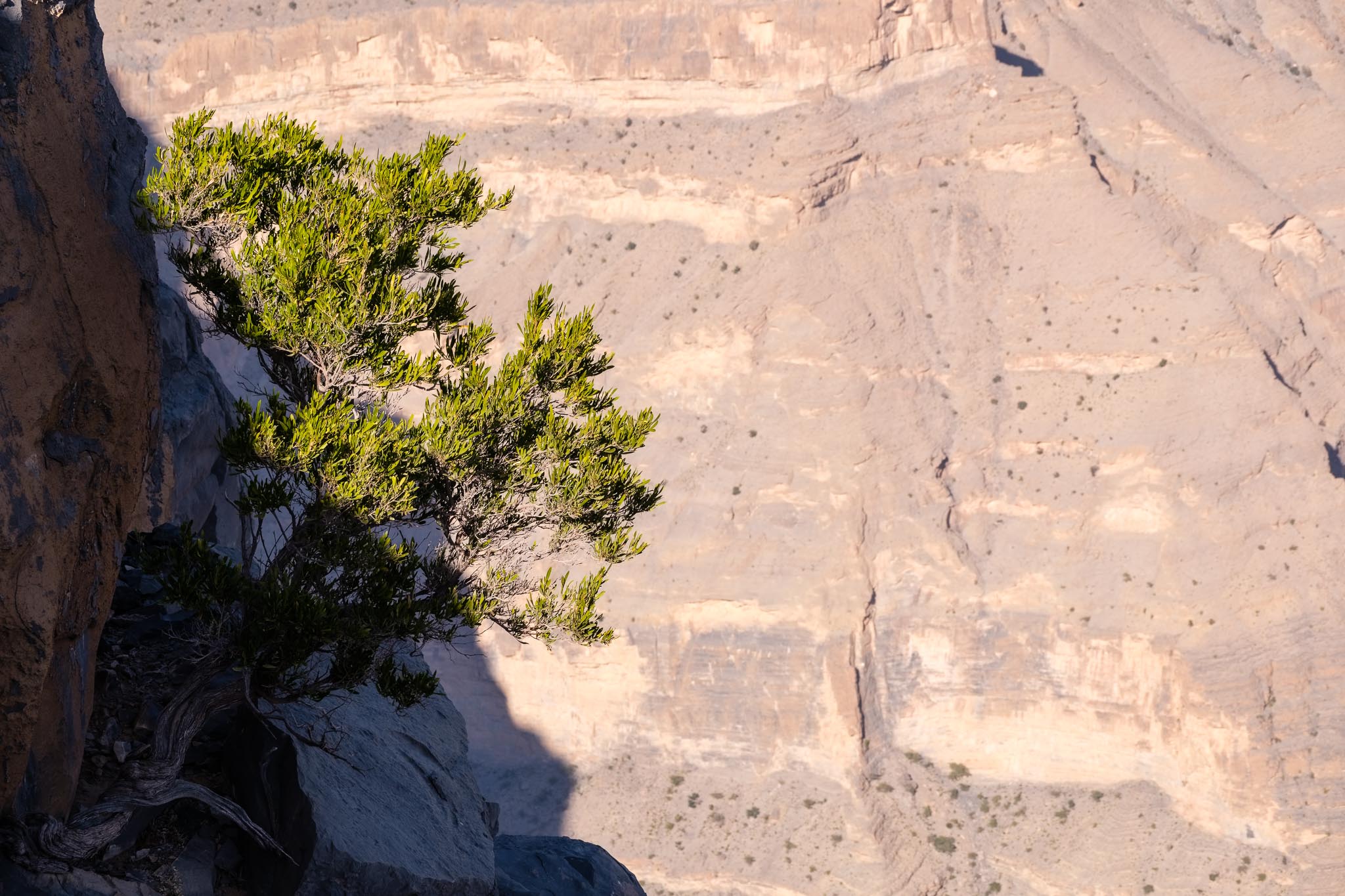
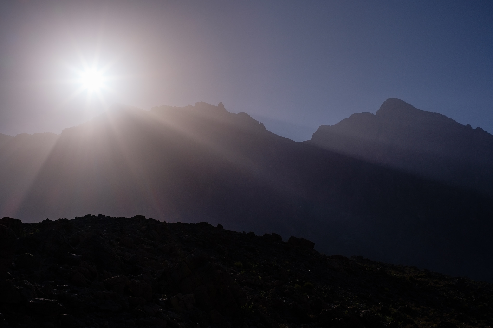
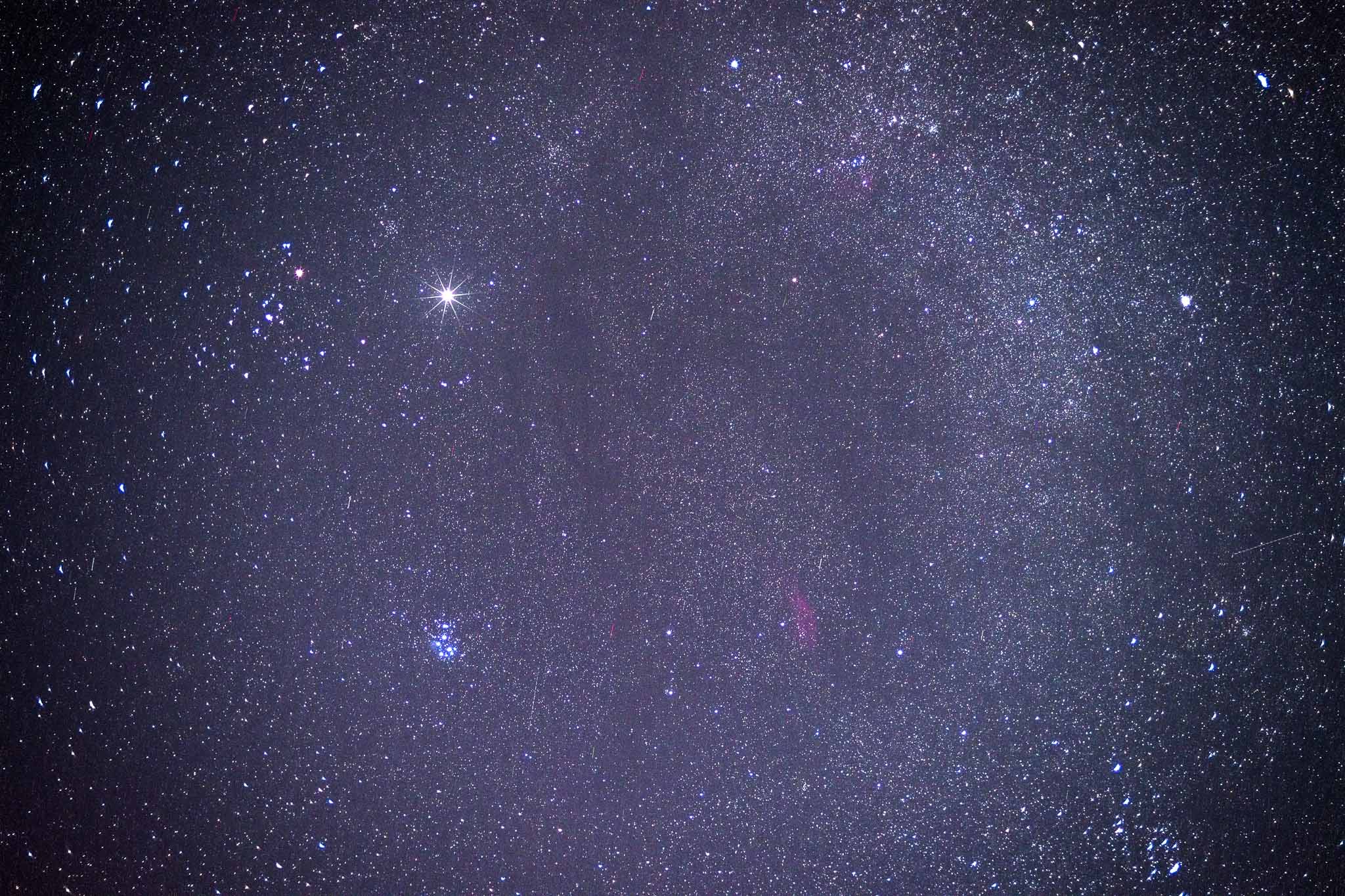
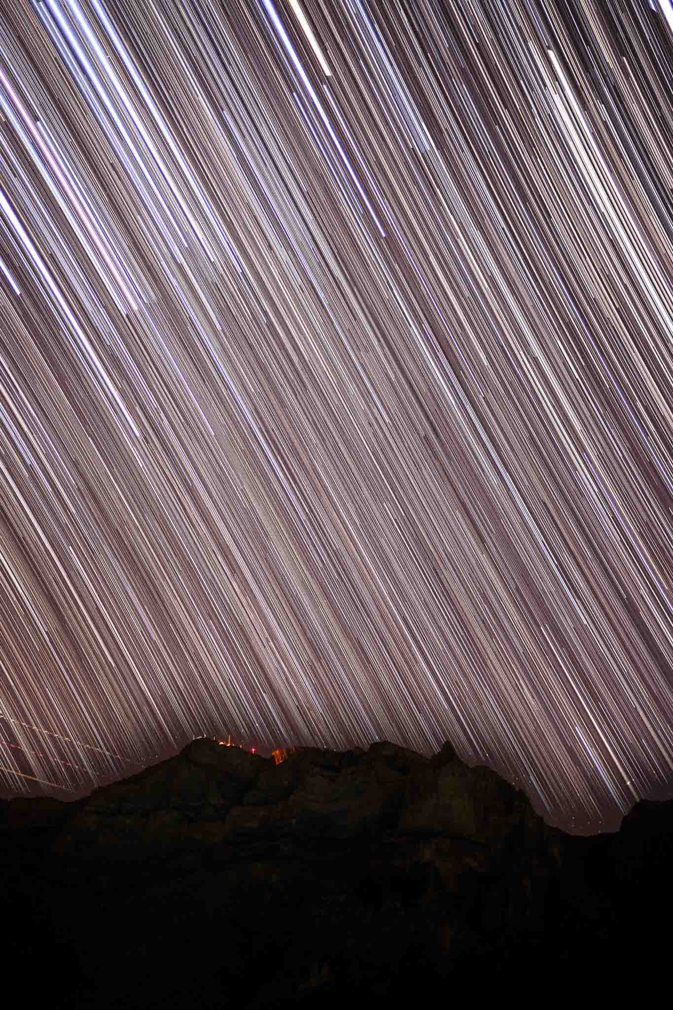
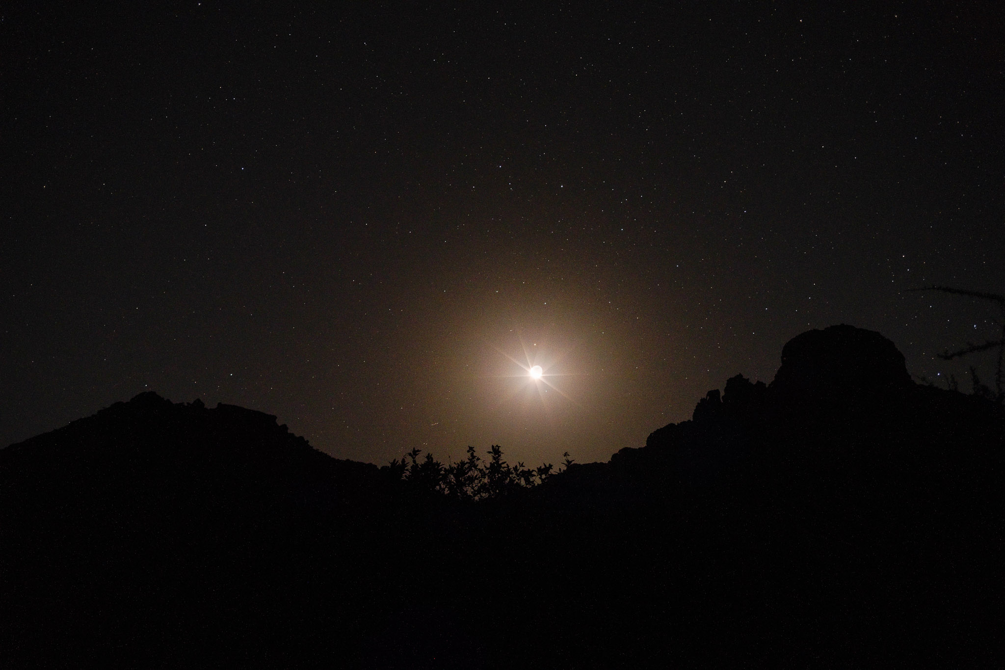
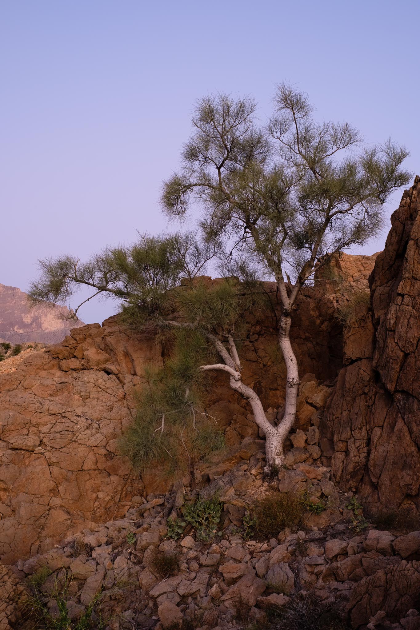
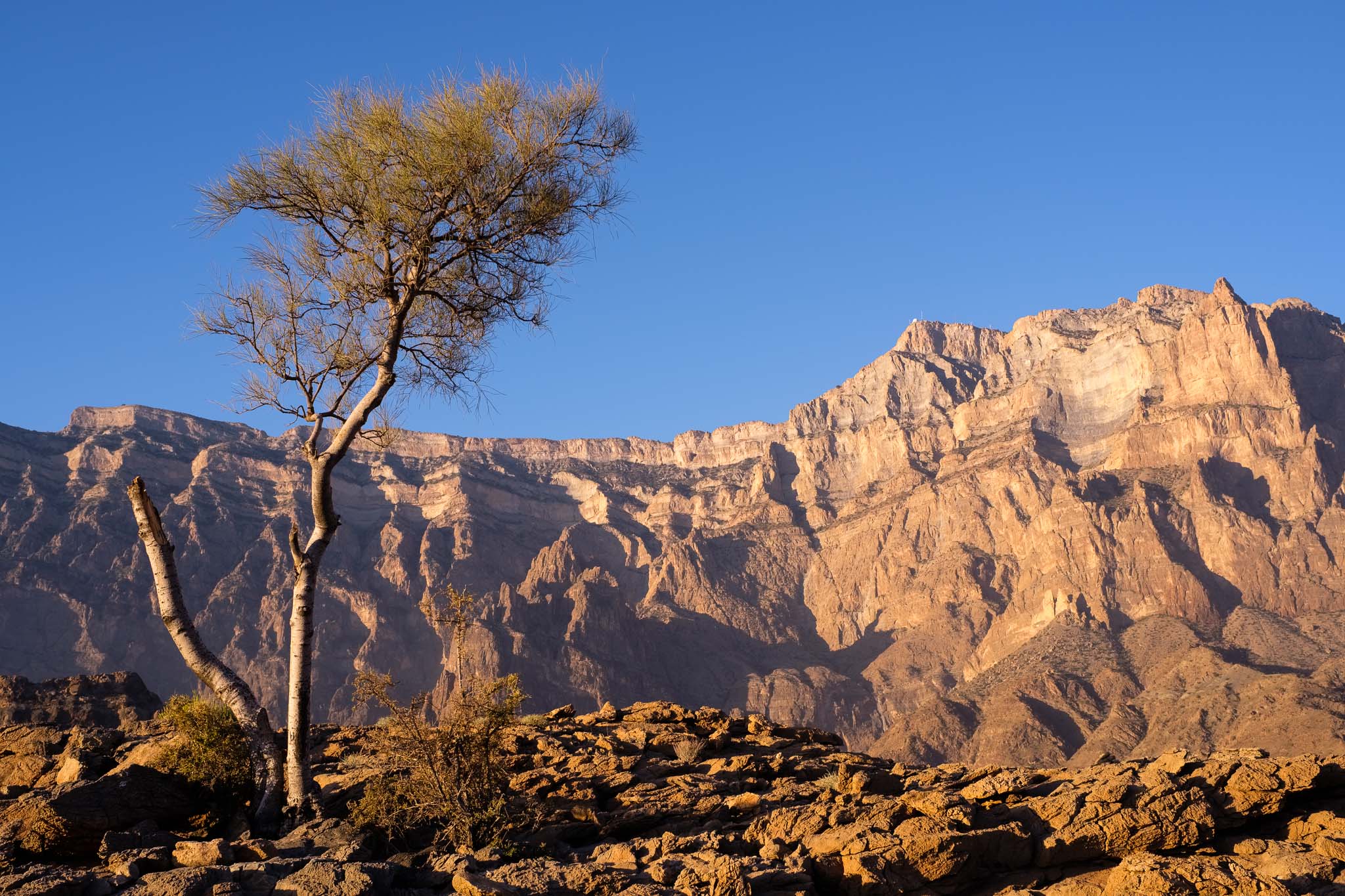
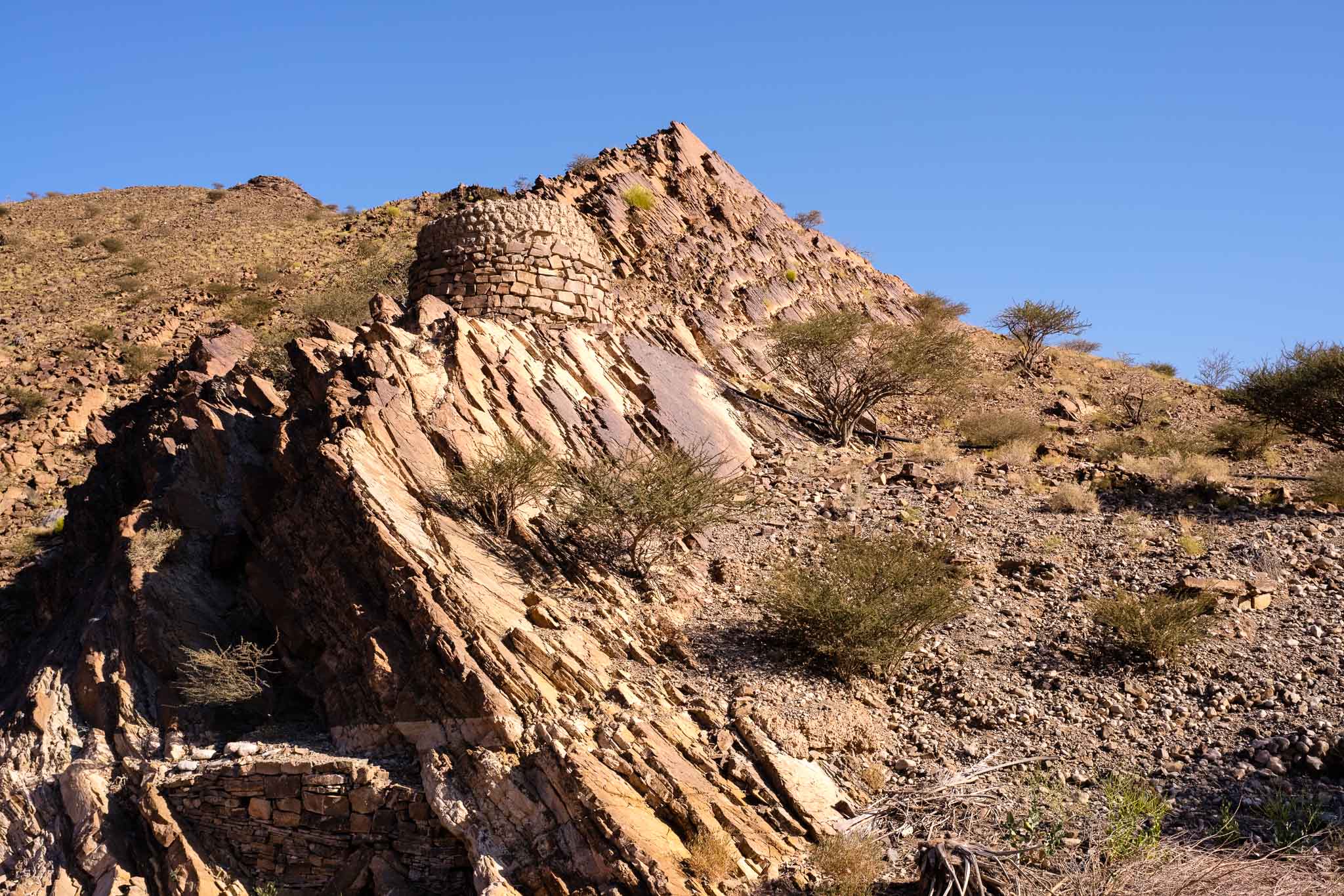
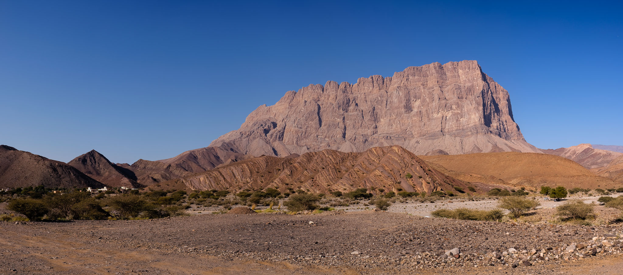
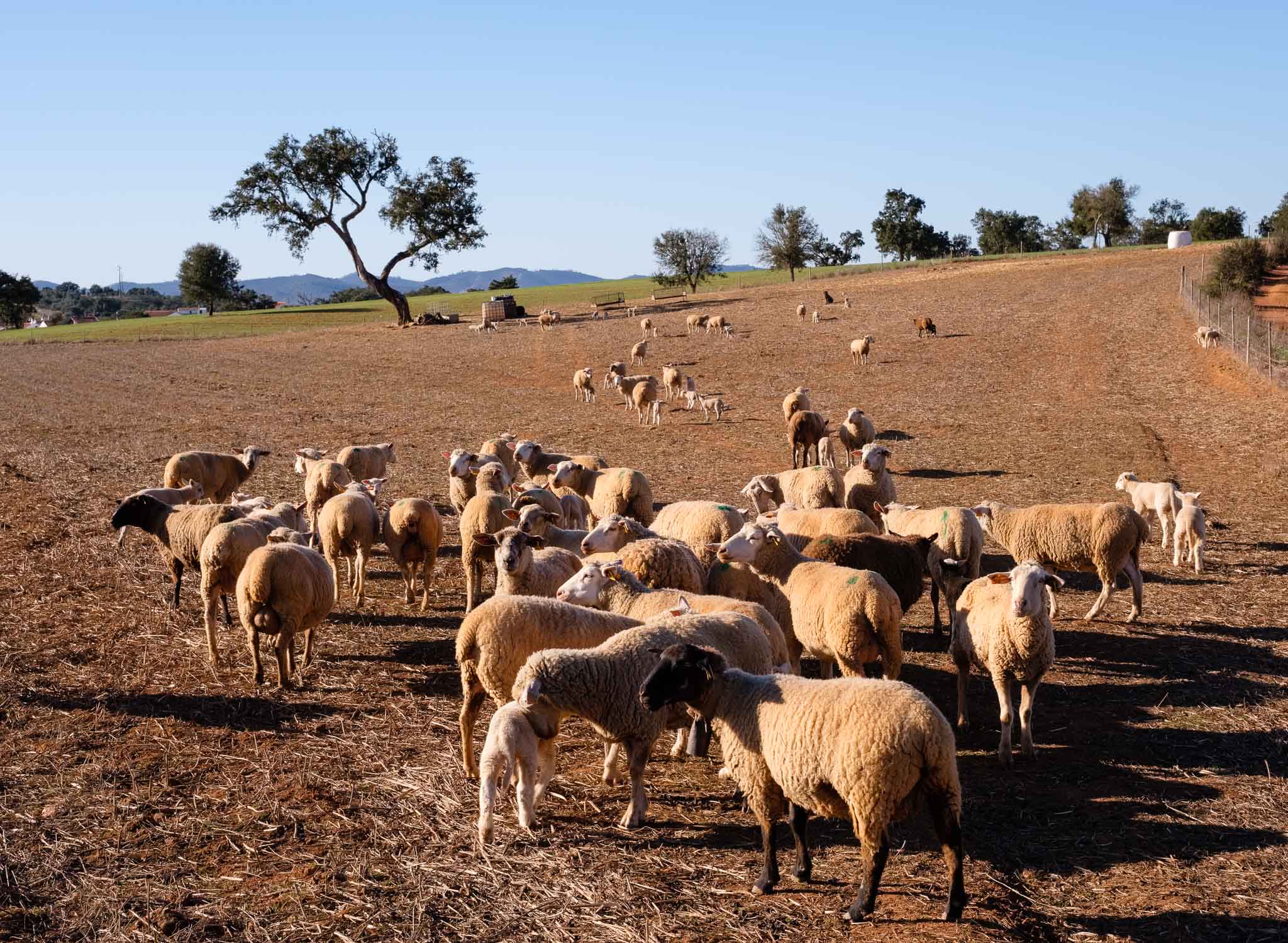
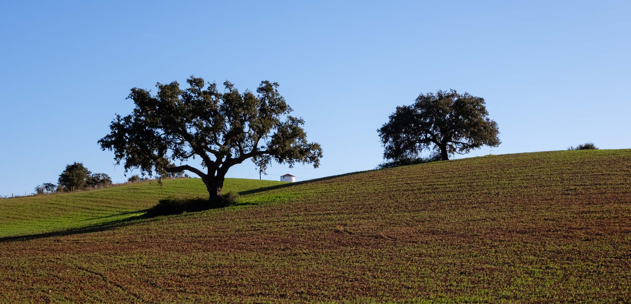
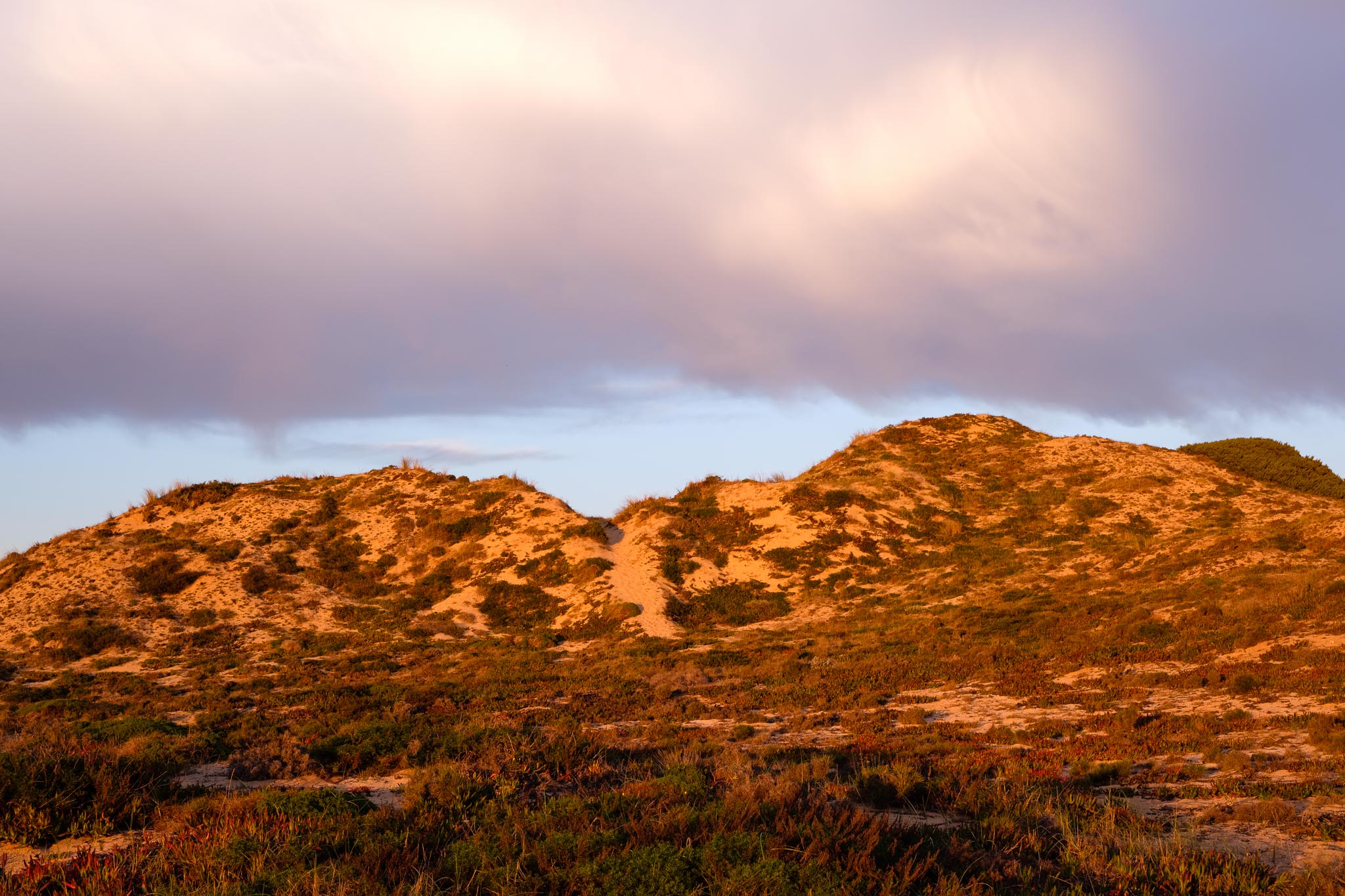
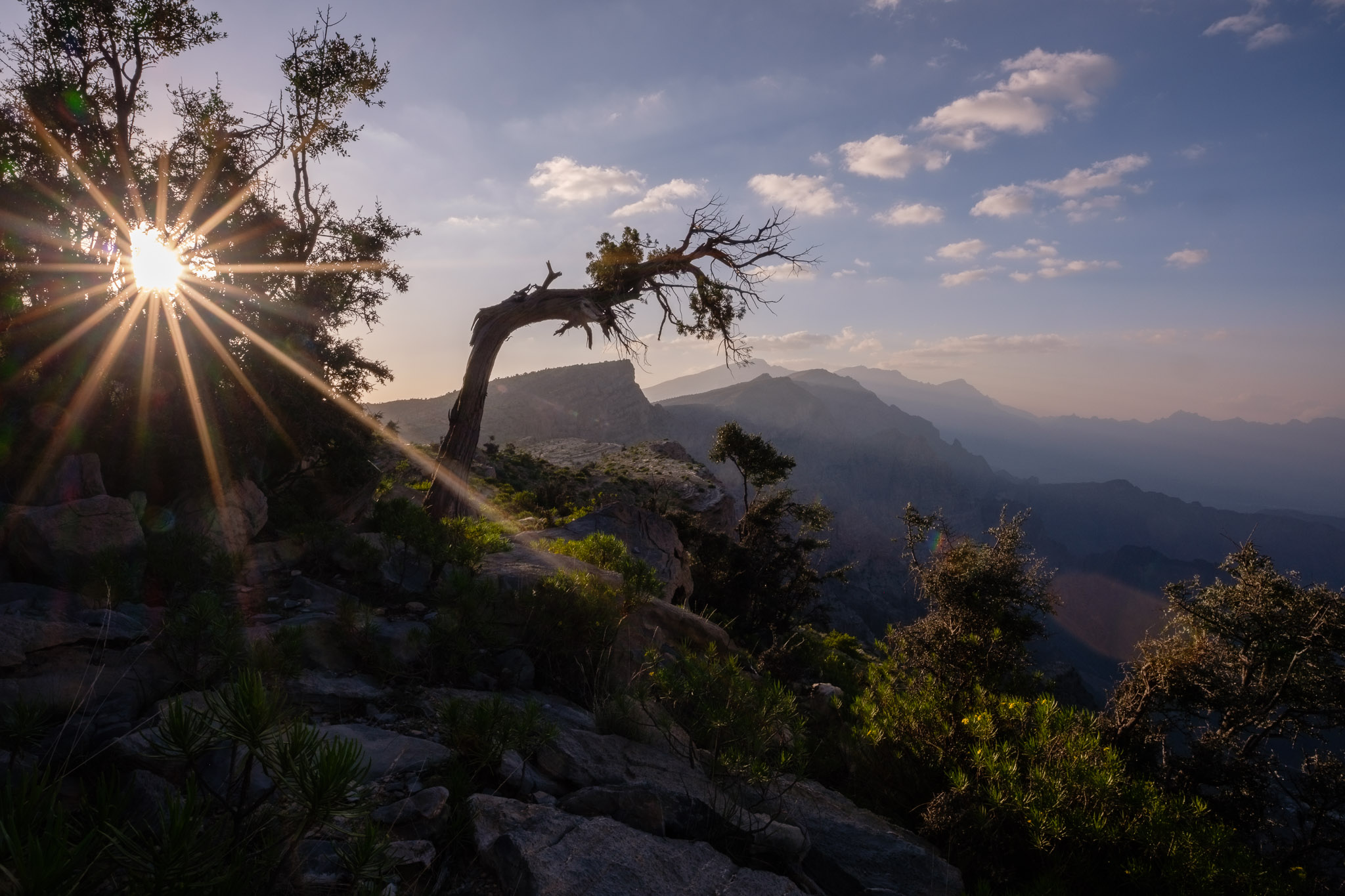
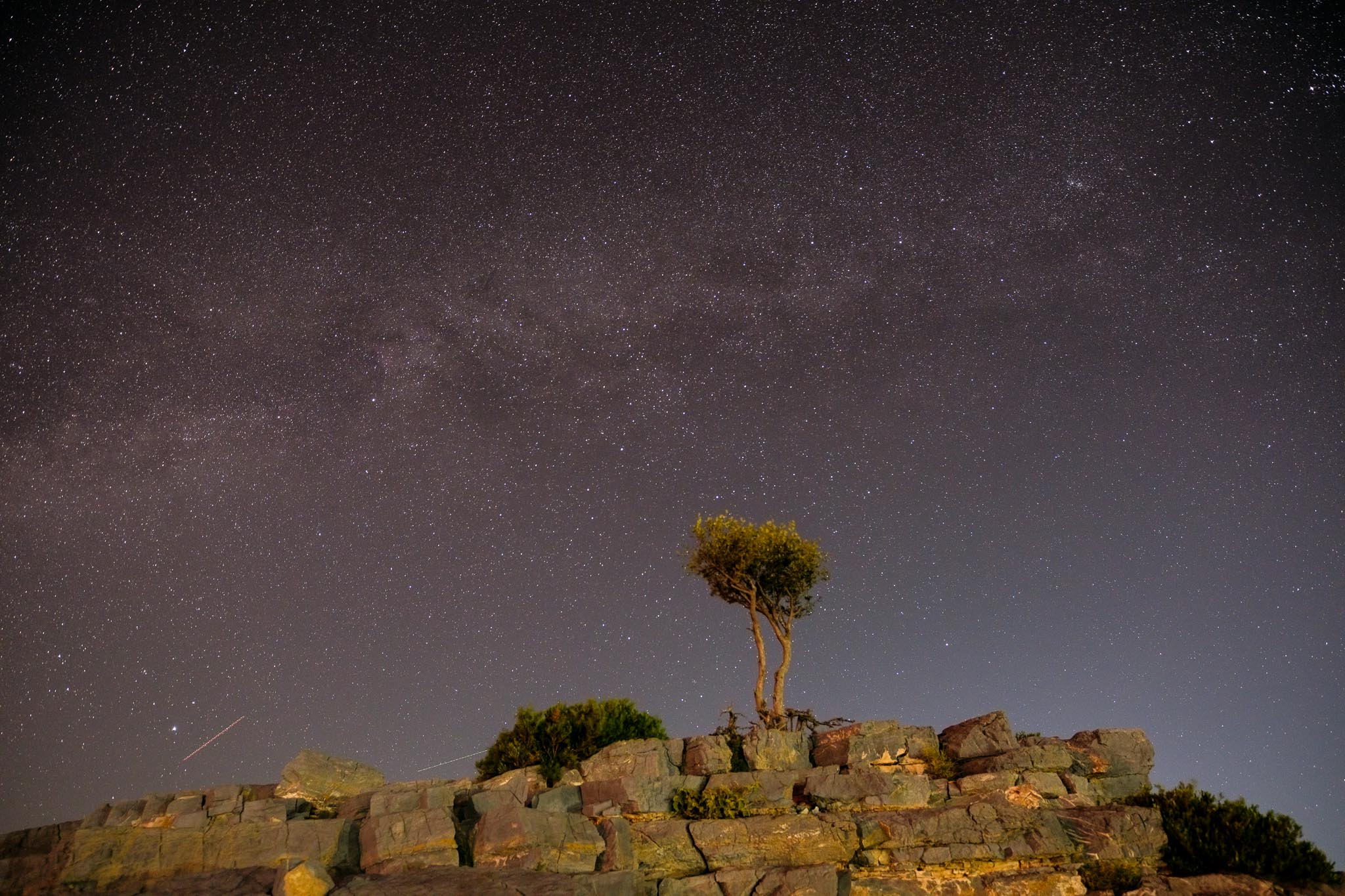
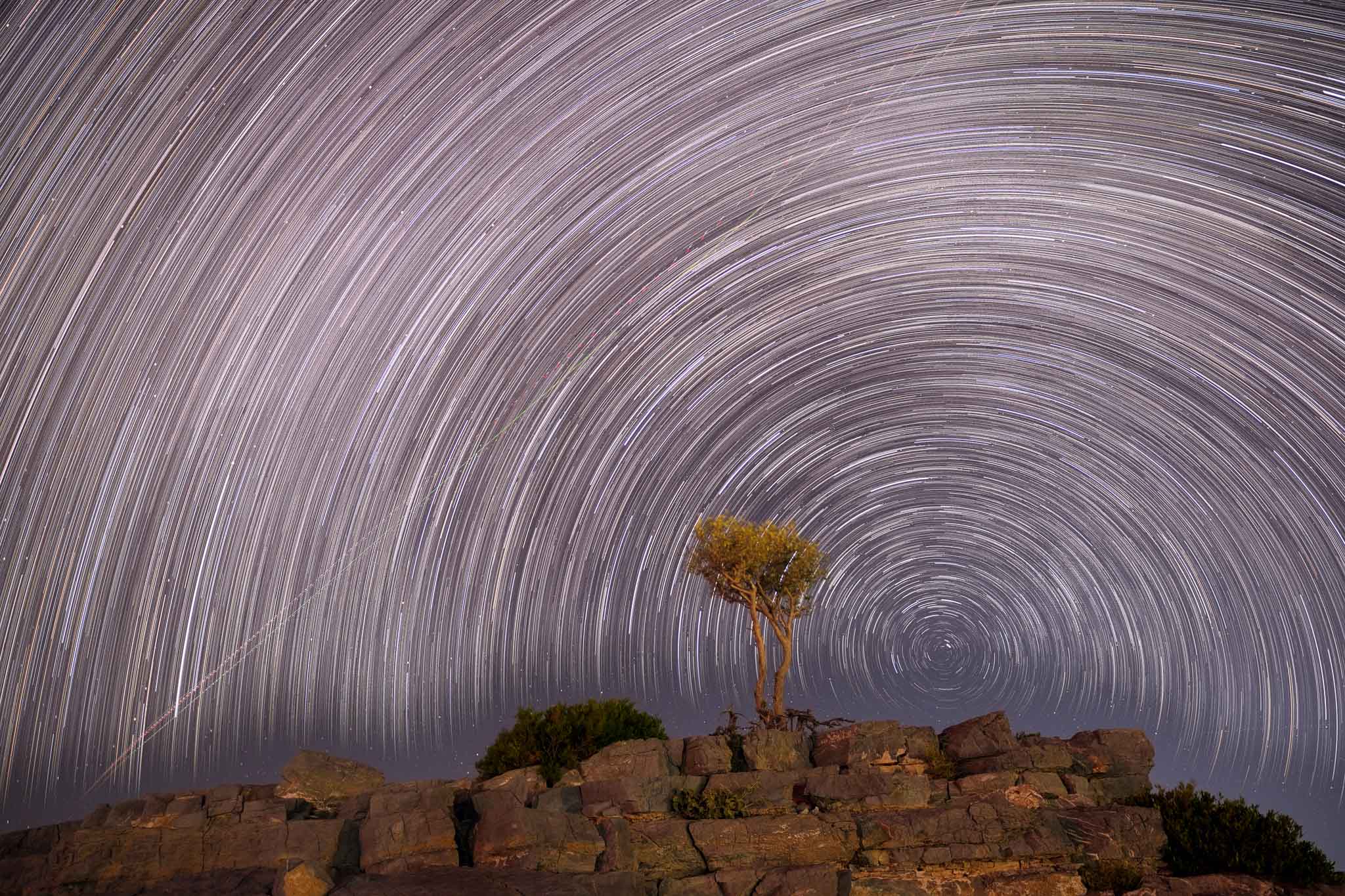
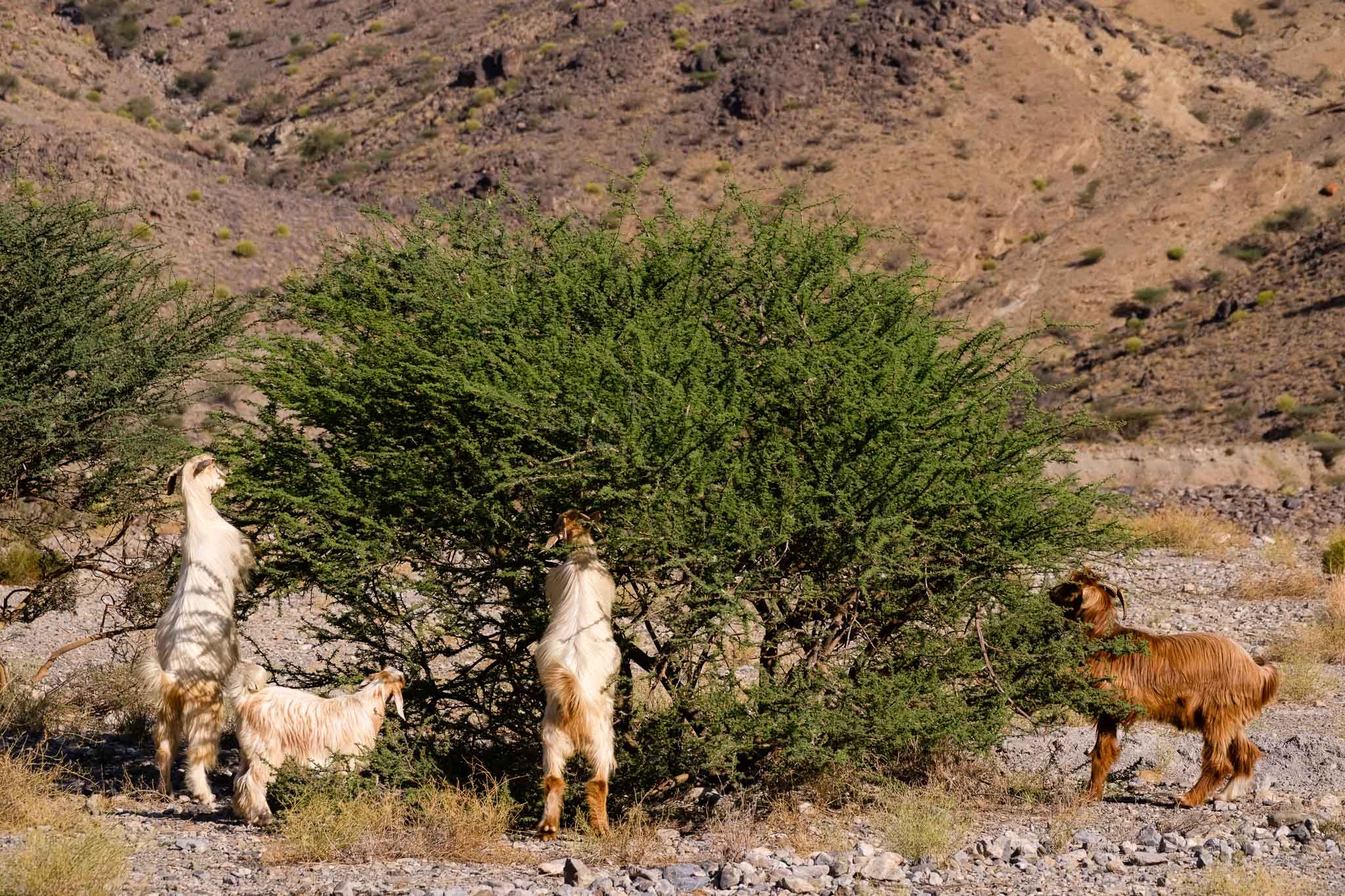
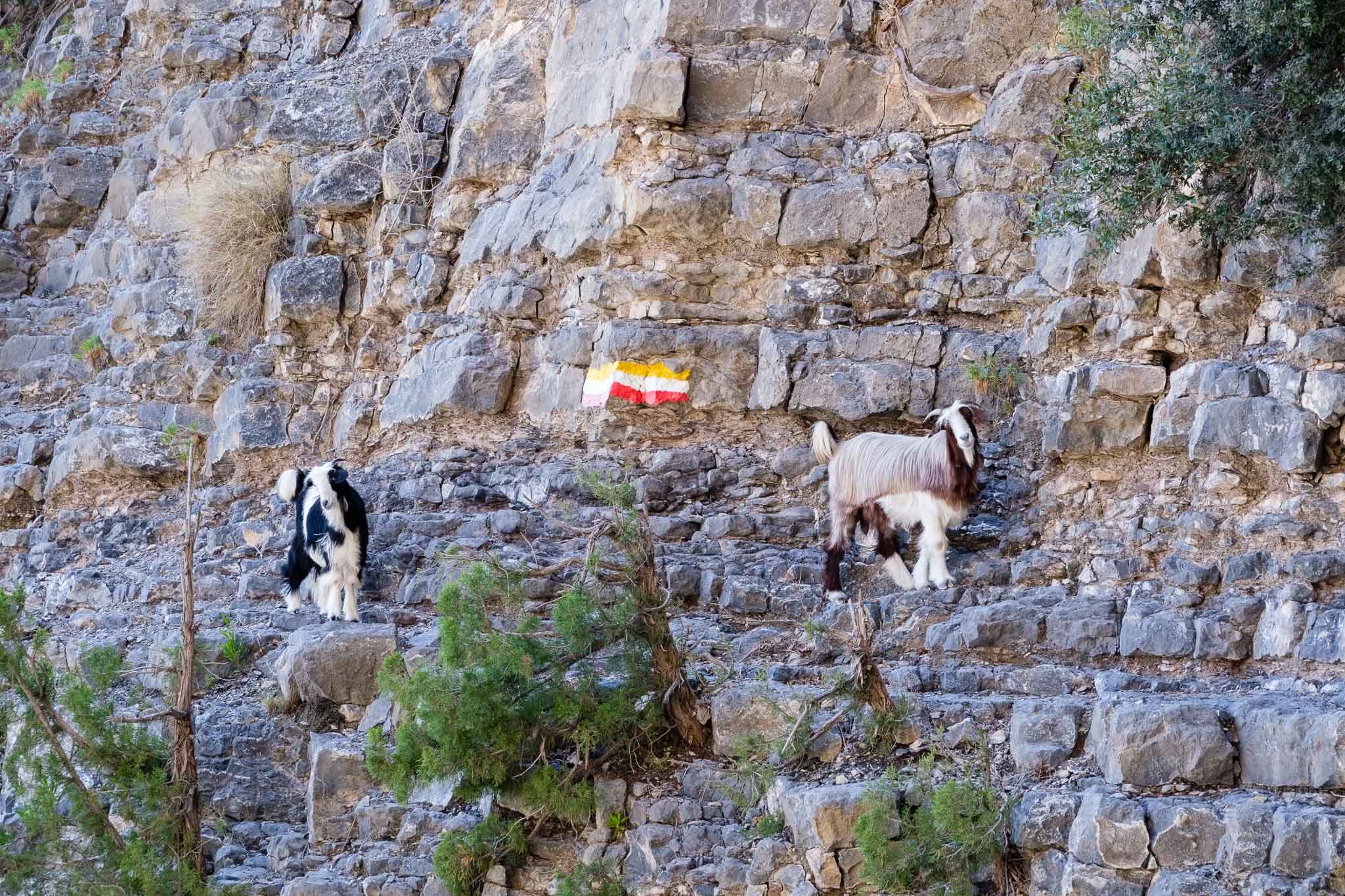
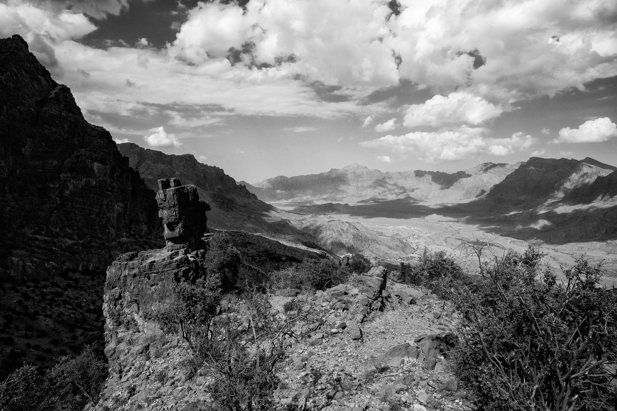
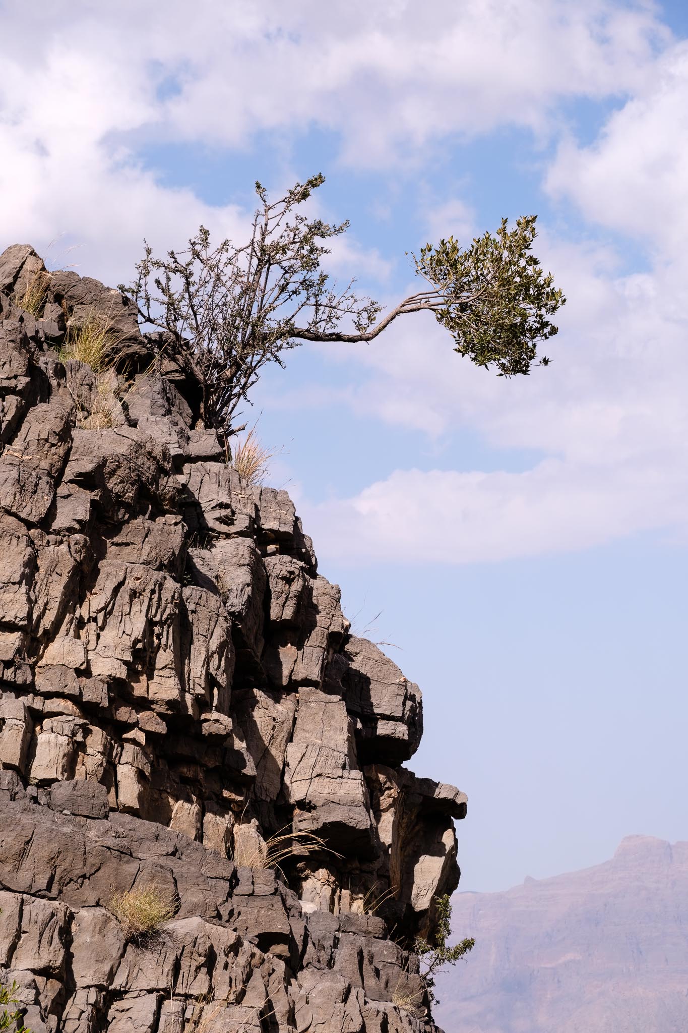
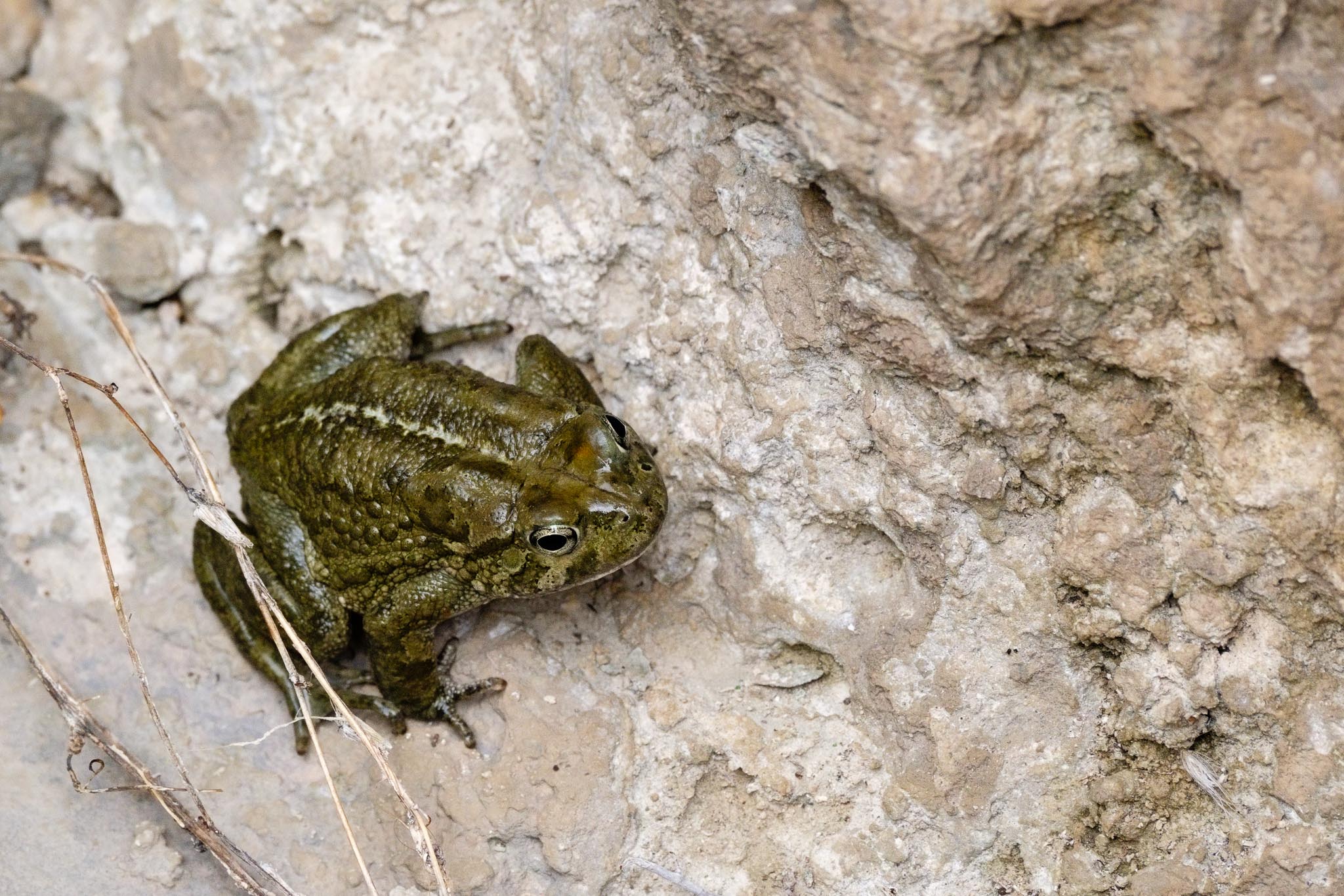
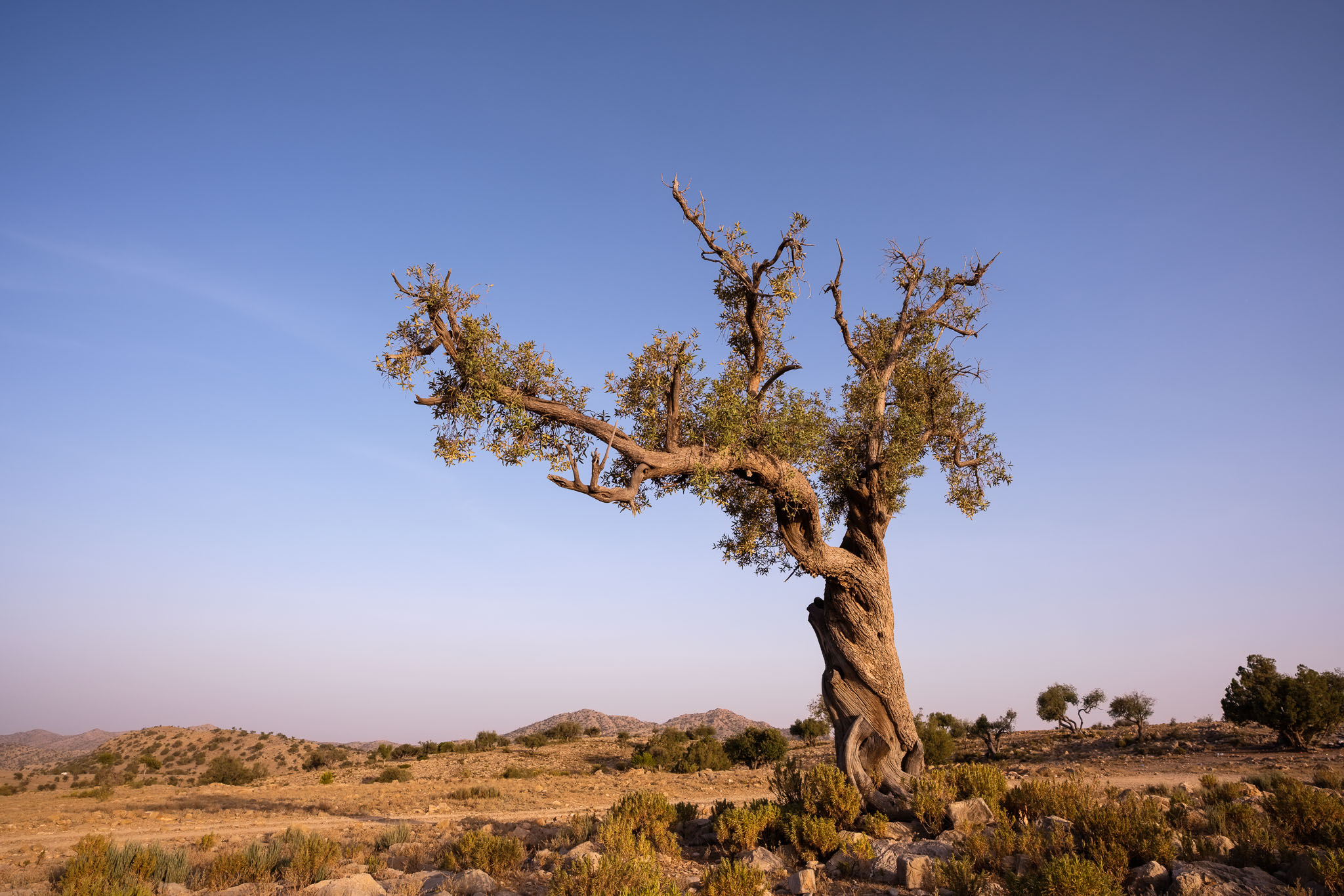
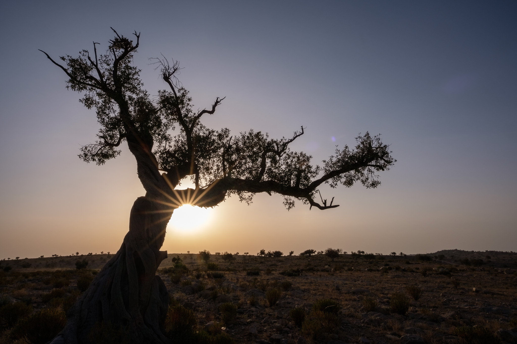
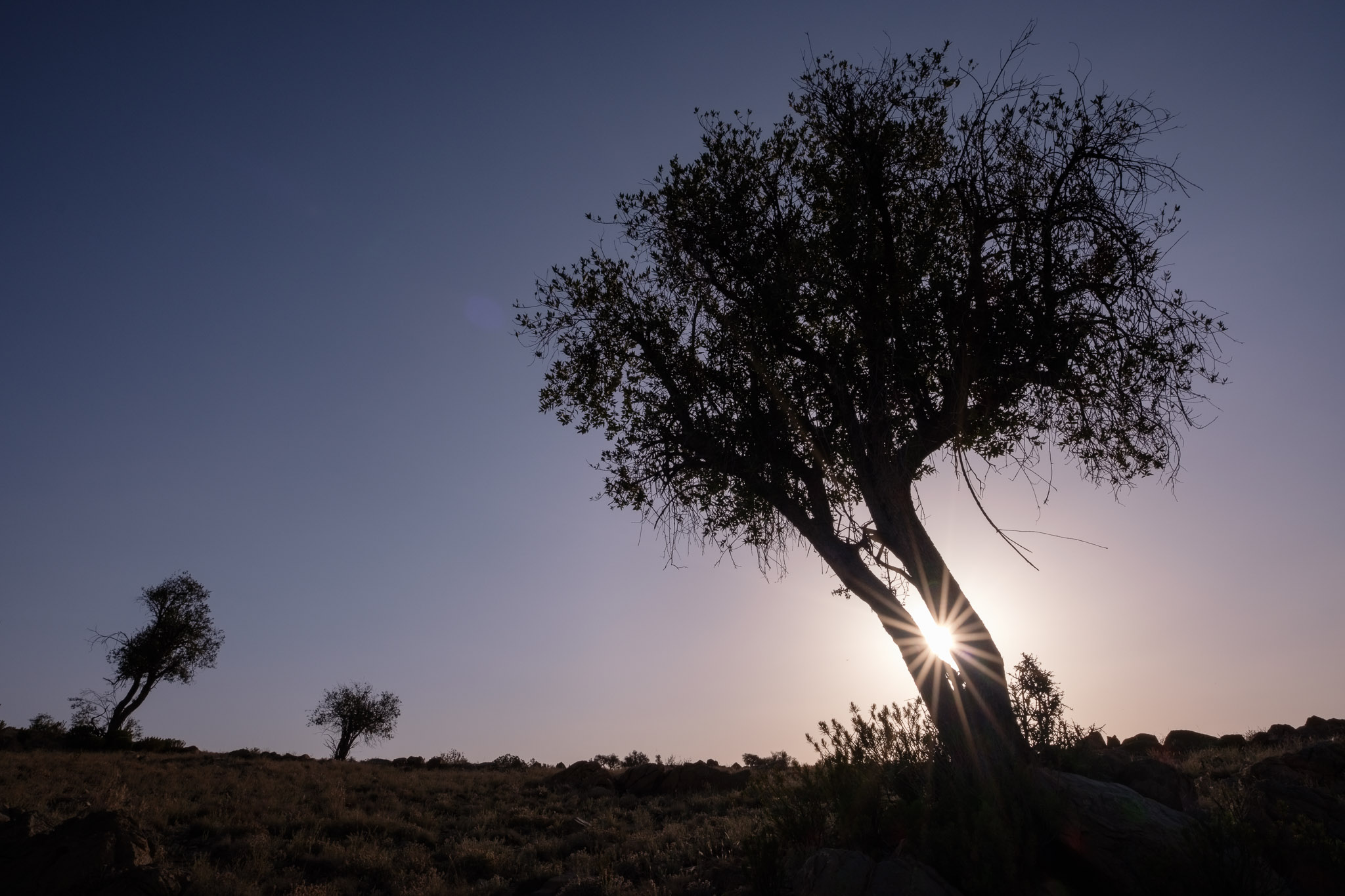
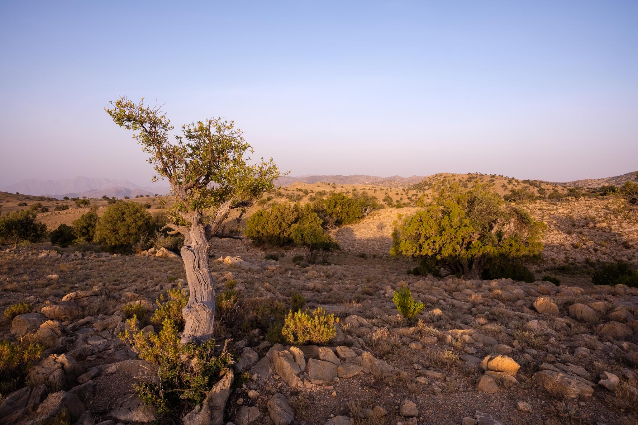
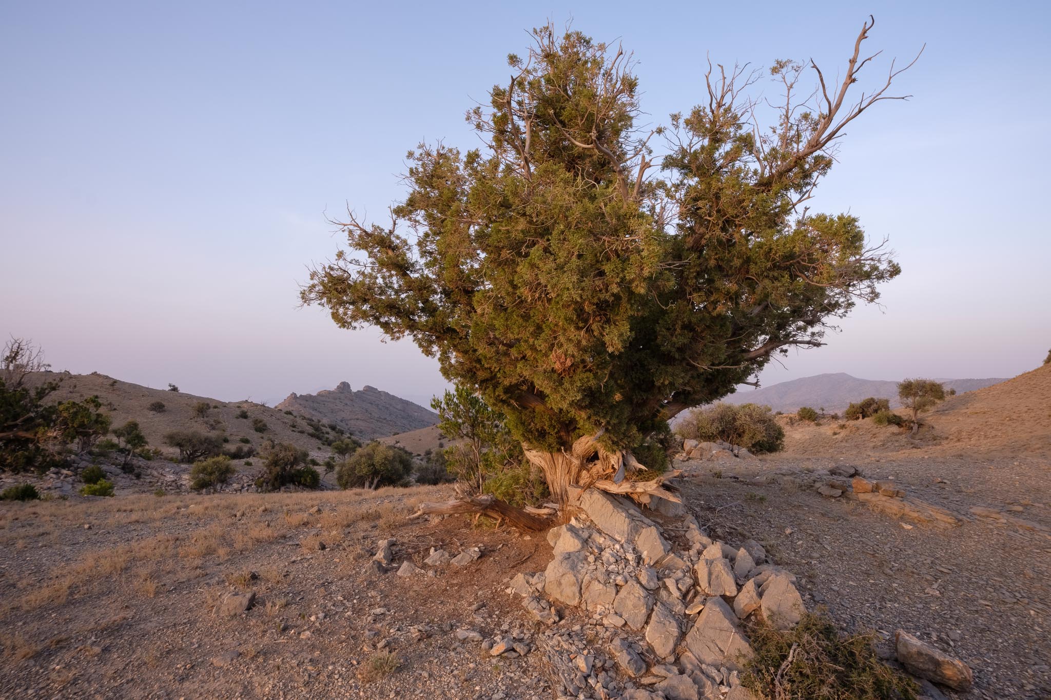
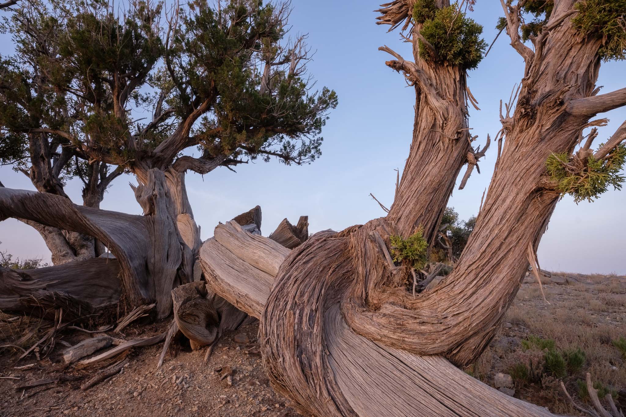
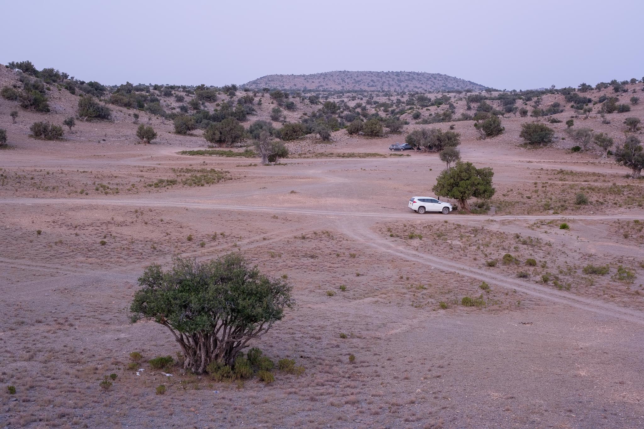
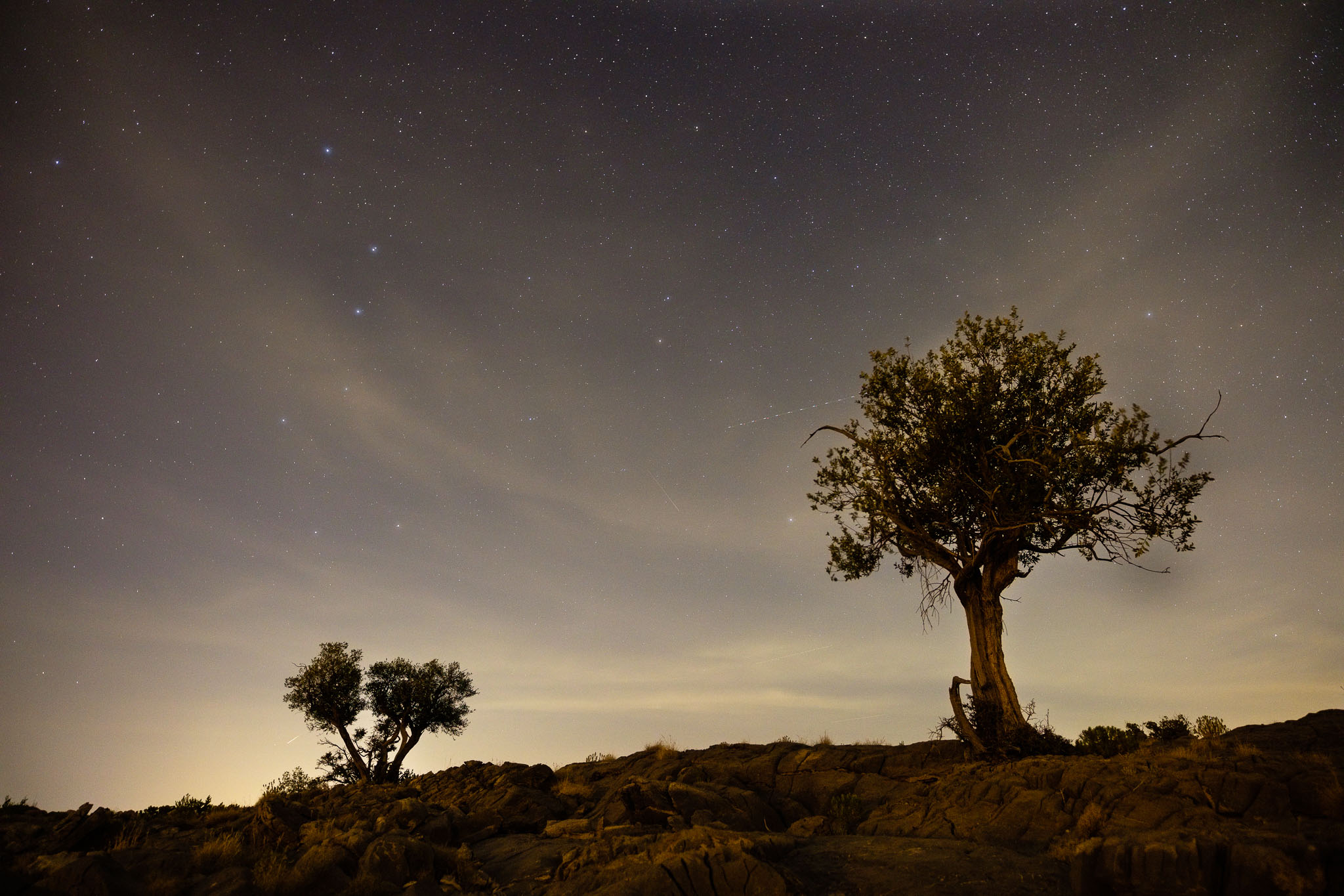
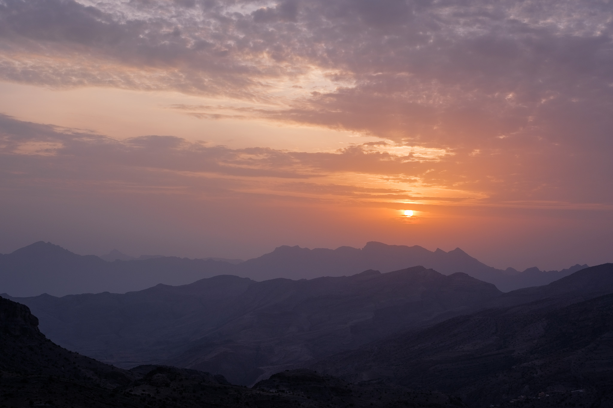
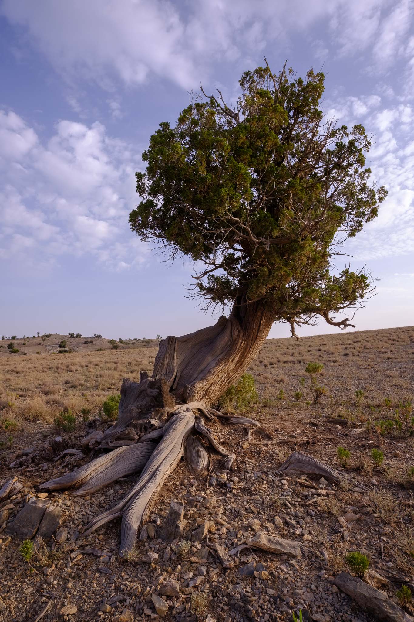
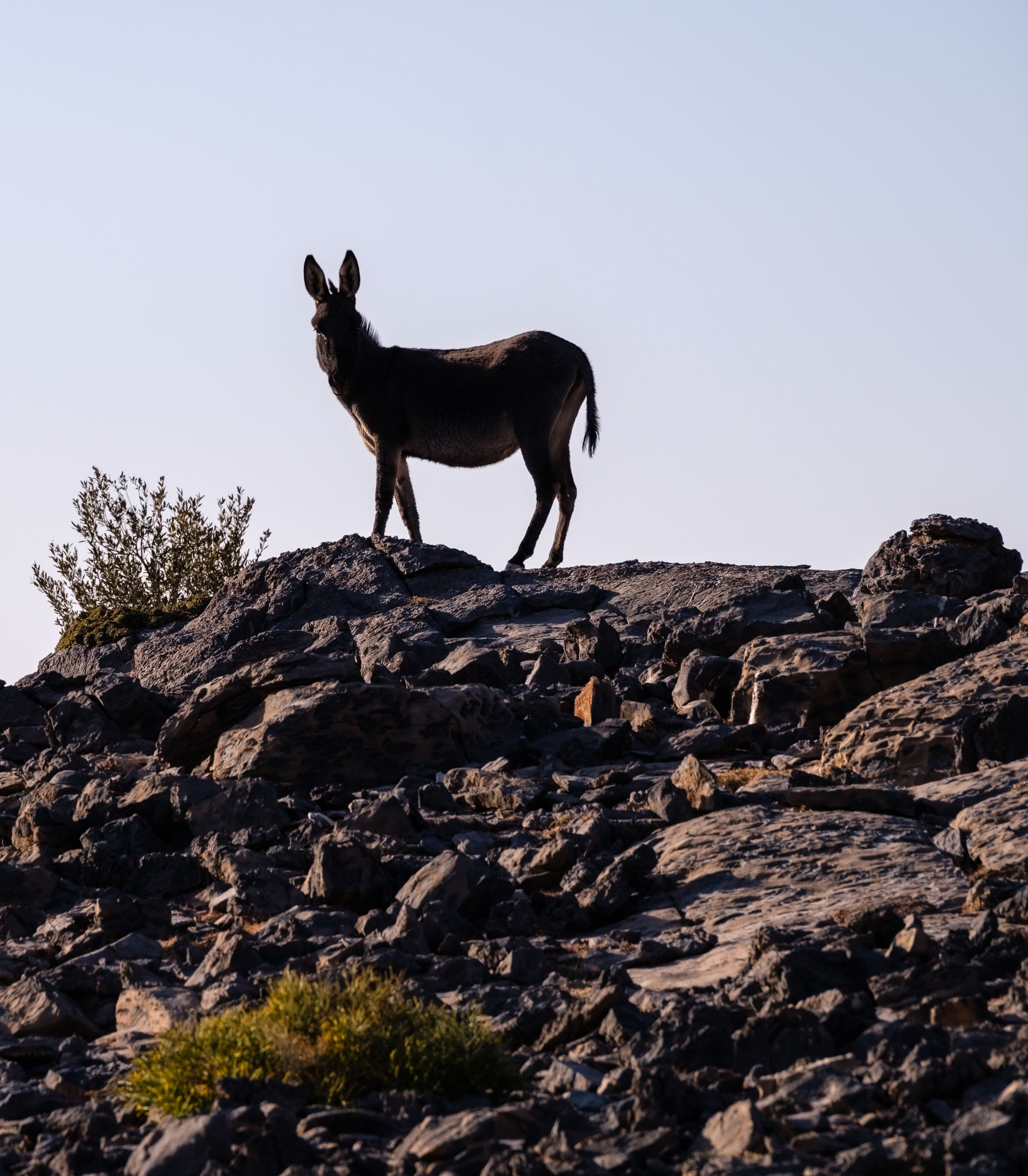
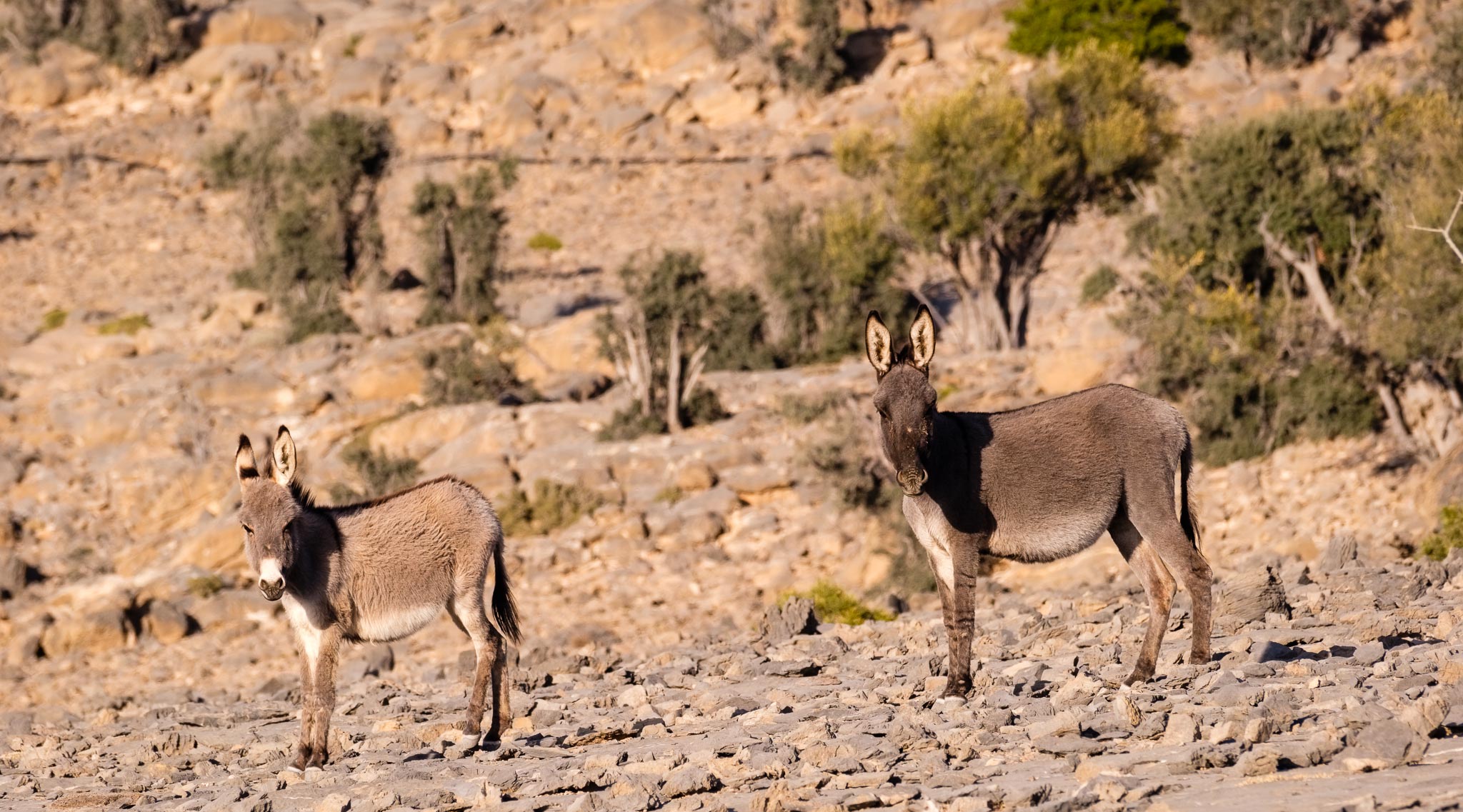
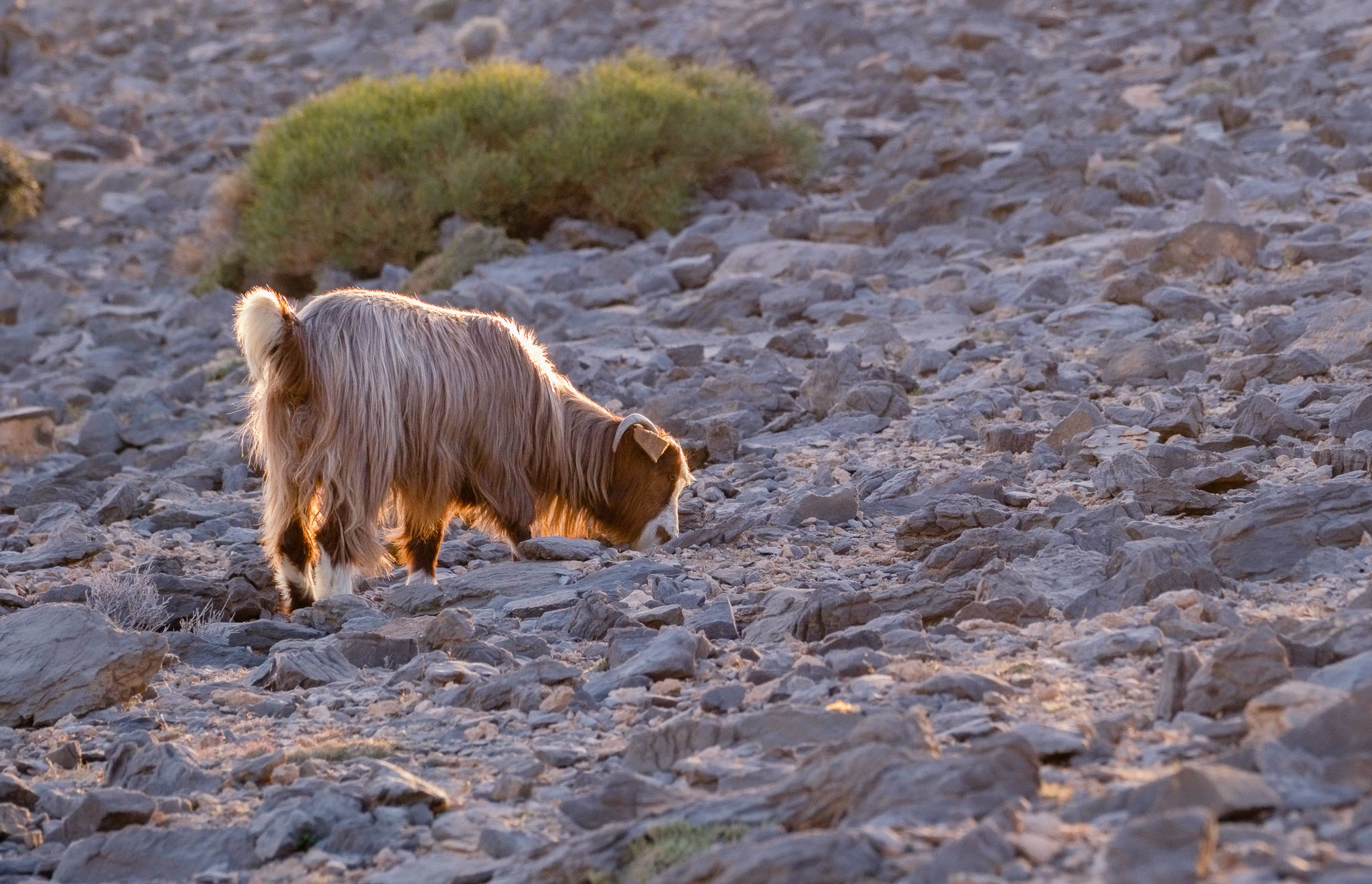
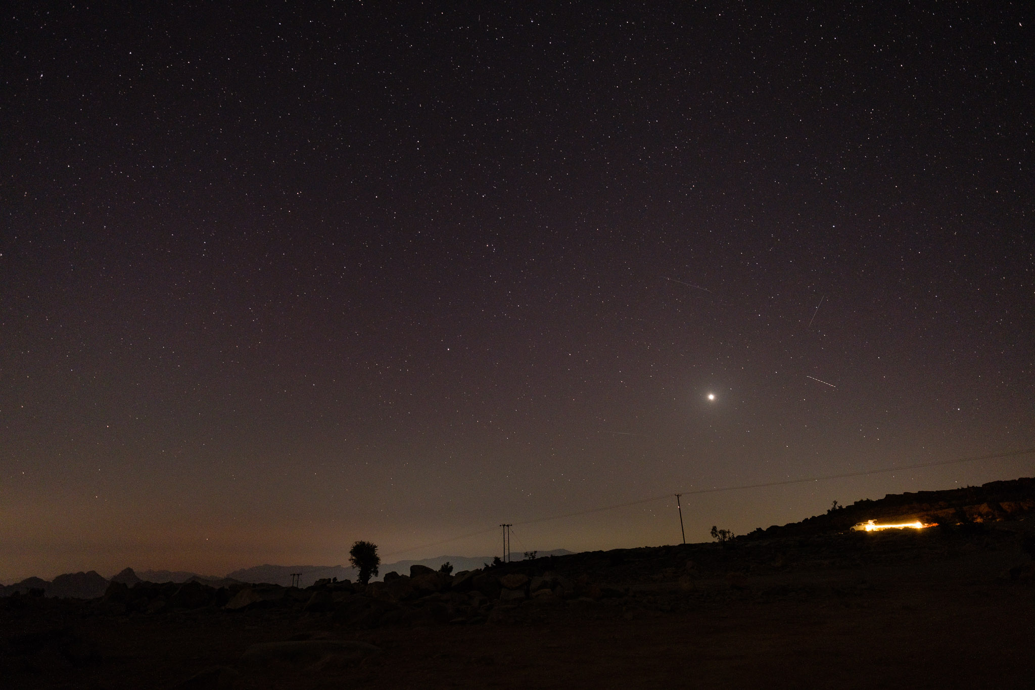
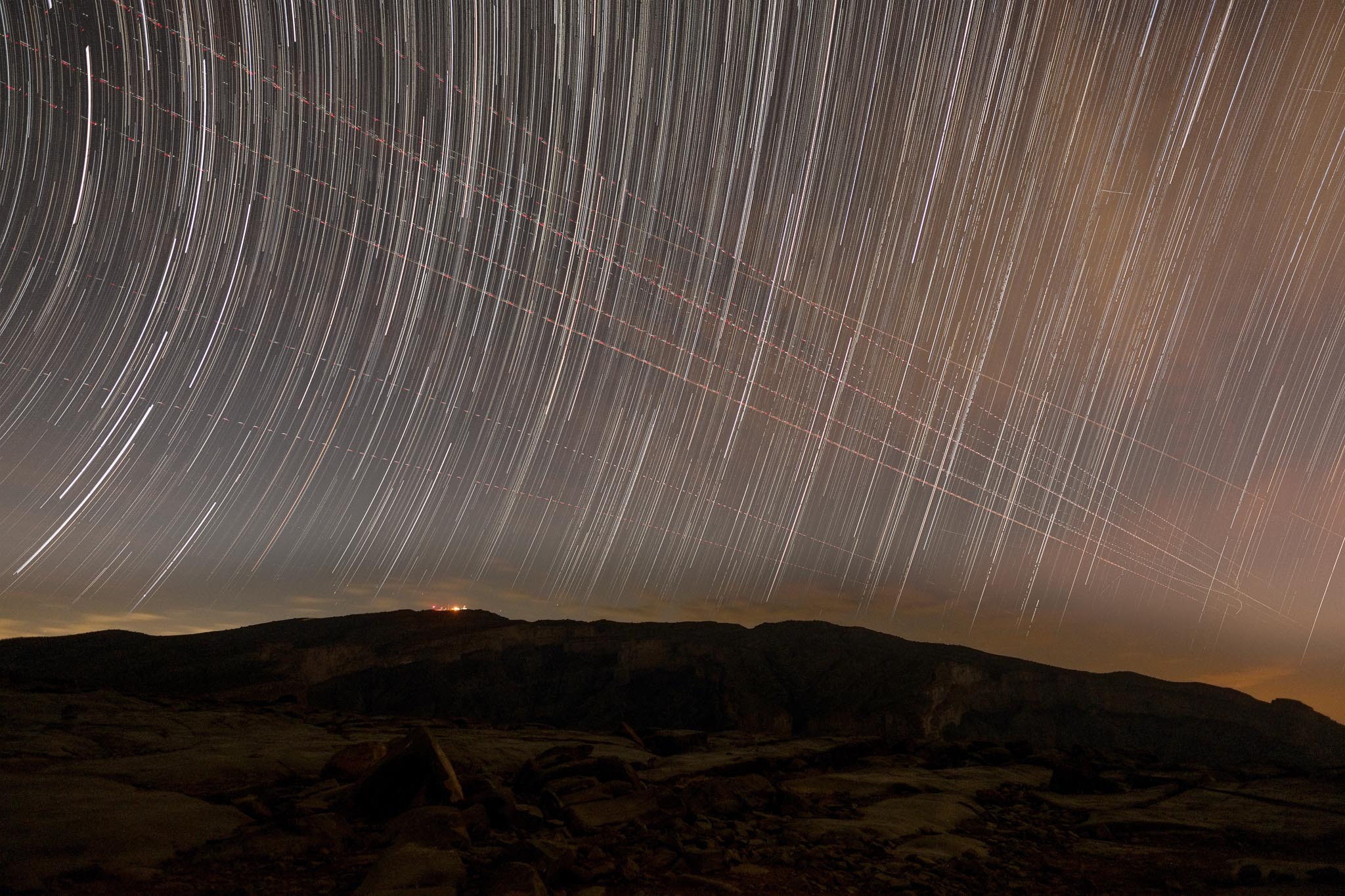
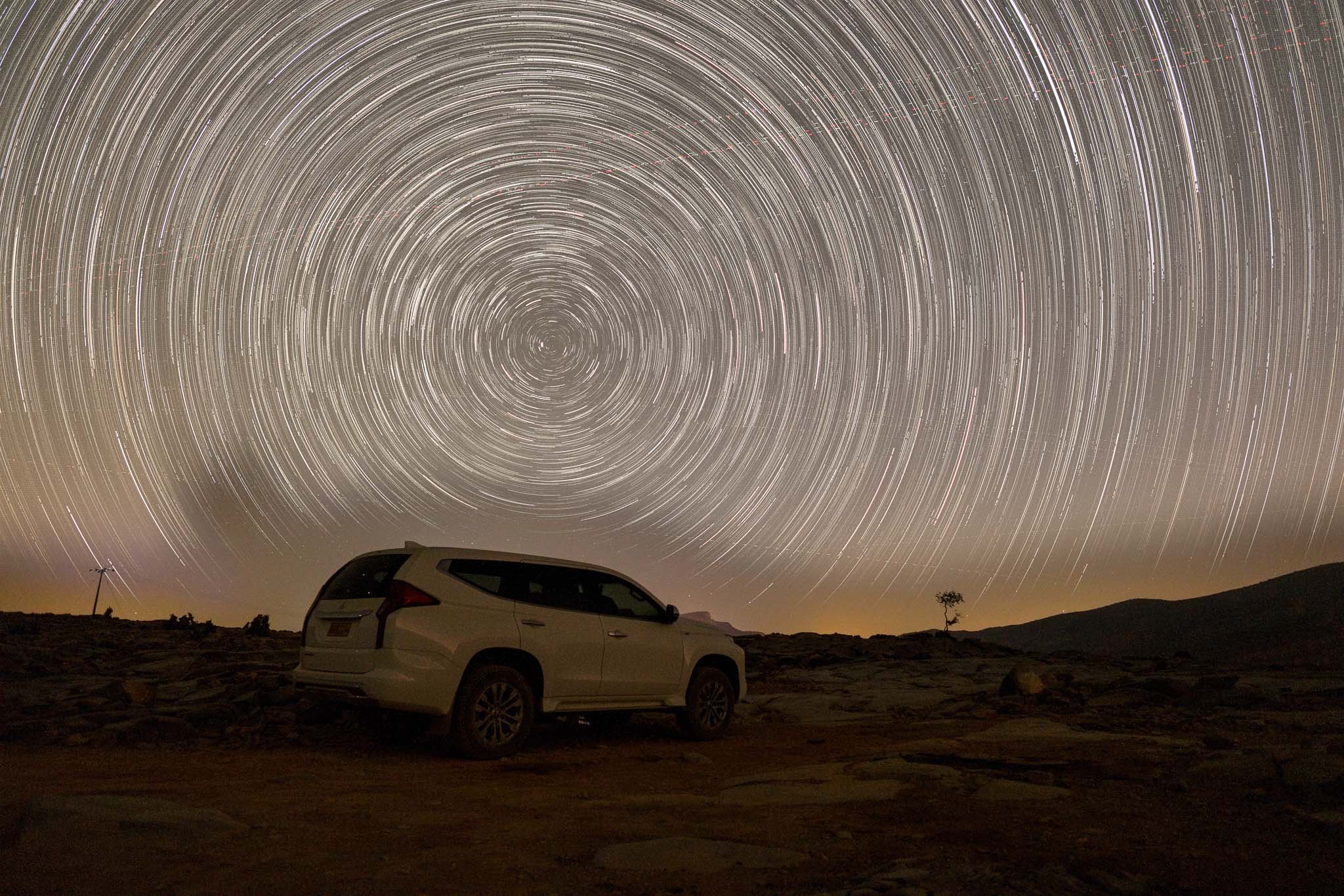
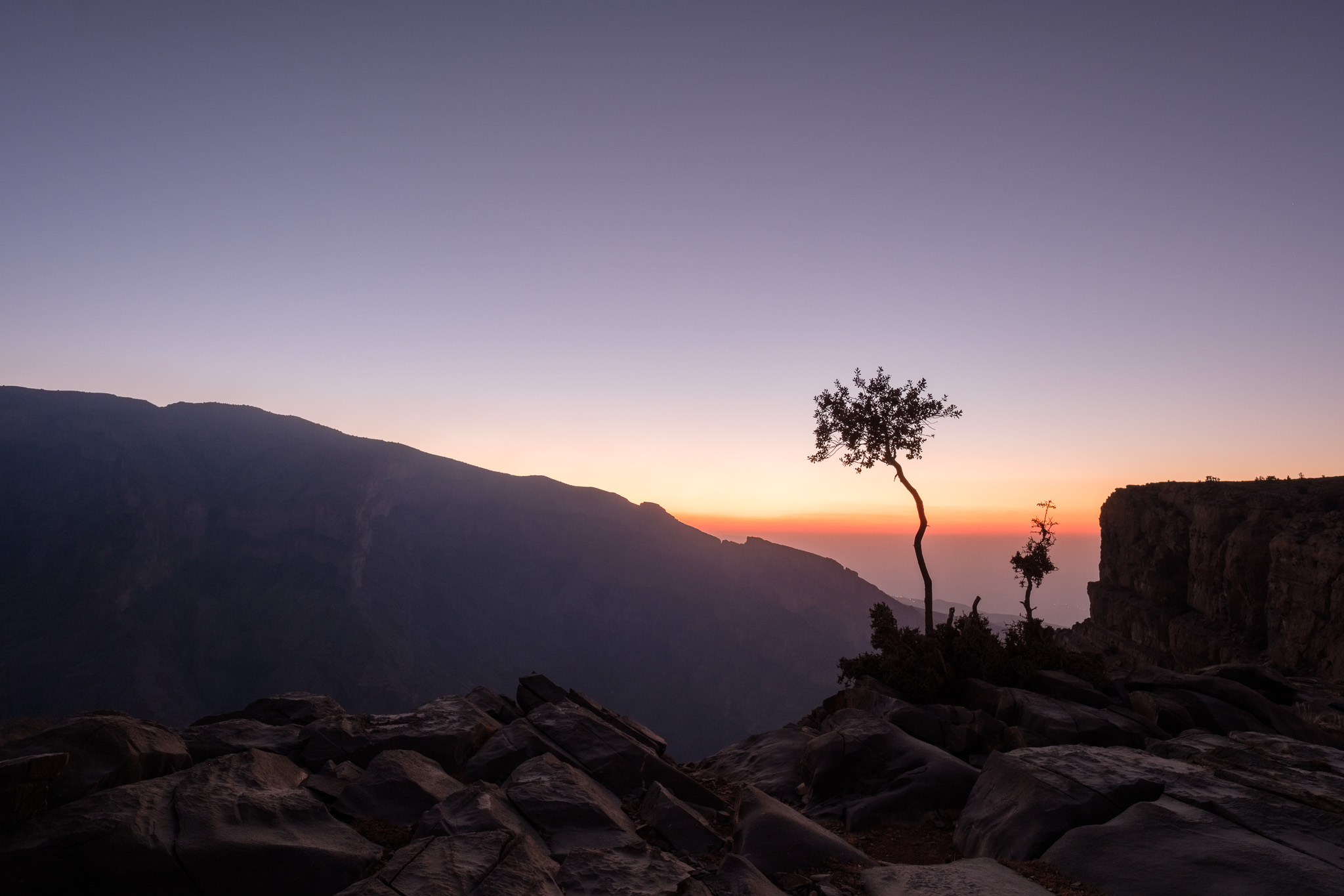
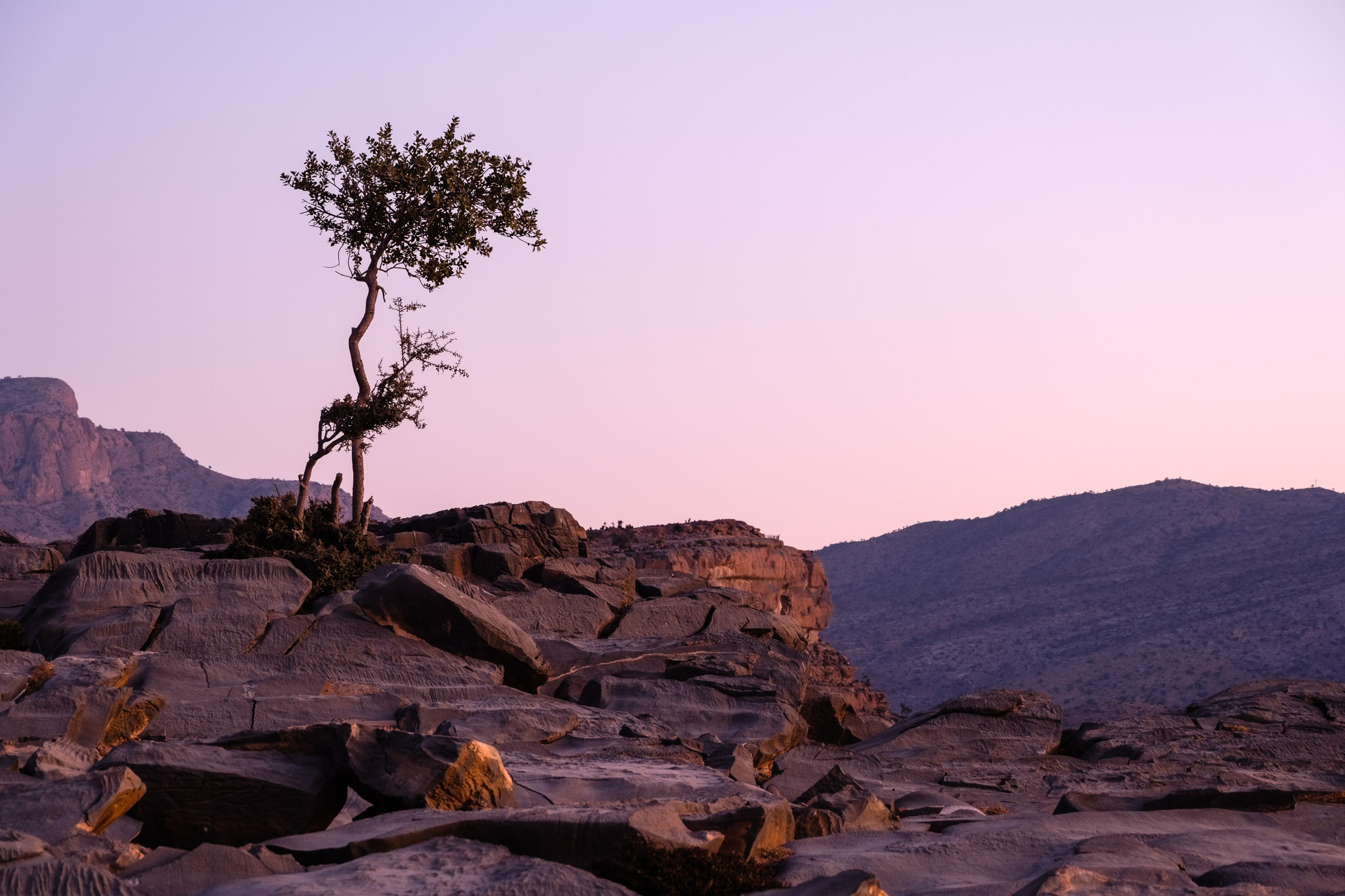
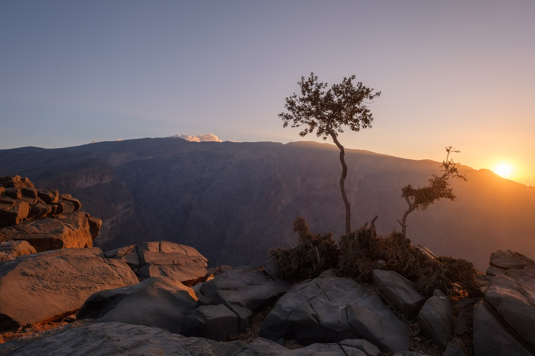
Walking around the plateau there are many other interesting subjects to photograph; the landscape is barren, dominated by rocky outcrops, isolated olive trees and bushes, and with the surrounding tall peaks in the background. One of those peaks is the famous Jebel Misht, with its peculiar raised triangular profile. I had a brief encounter with some wild donkeys, goats, and spotted some birds of prey hovering in the sky. After sunset, I returned to my camping spot to have a meal and prepare for the night photography session; it was new moon, so I wanted to benefit from the darkness. As expected, the temperature dropped quickly, so I put on an extra layer of warm clothes and gloves. I set my camera and lens on the tripod, programmed the interval timer to do its job, and then went to sleep.
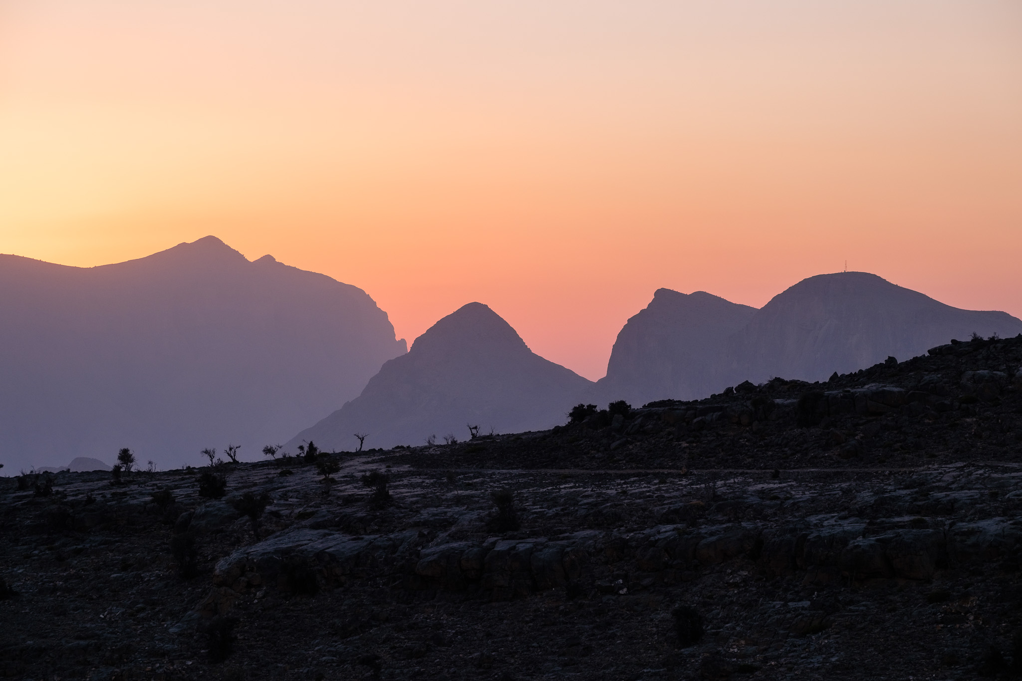
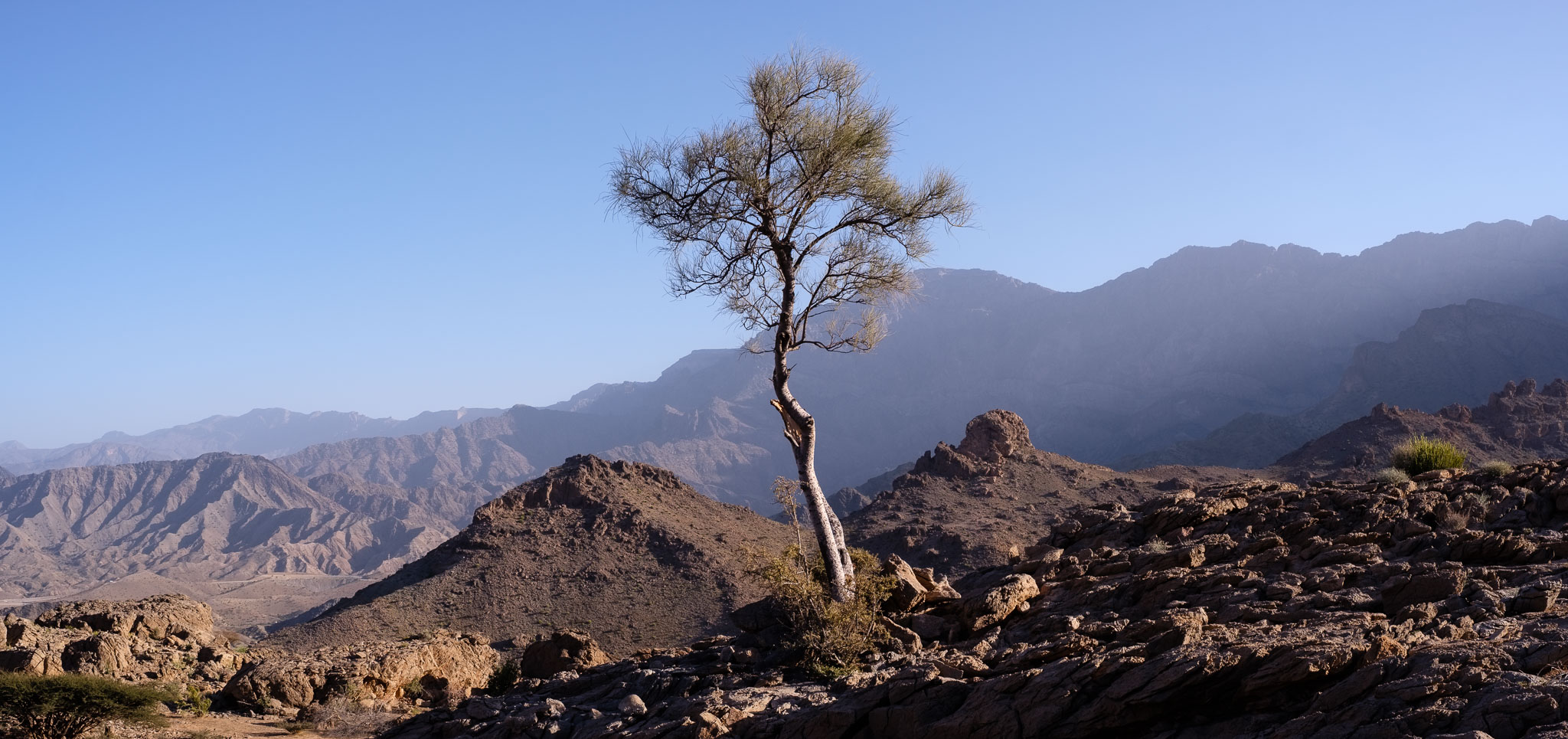
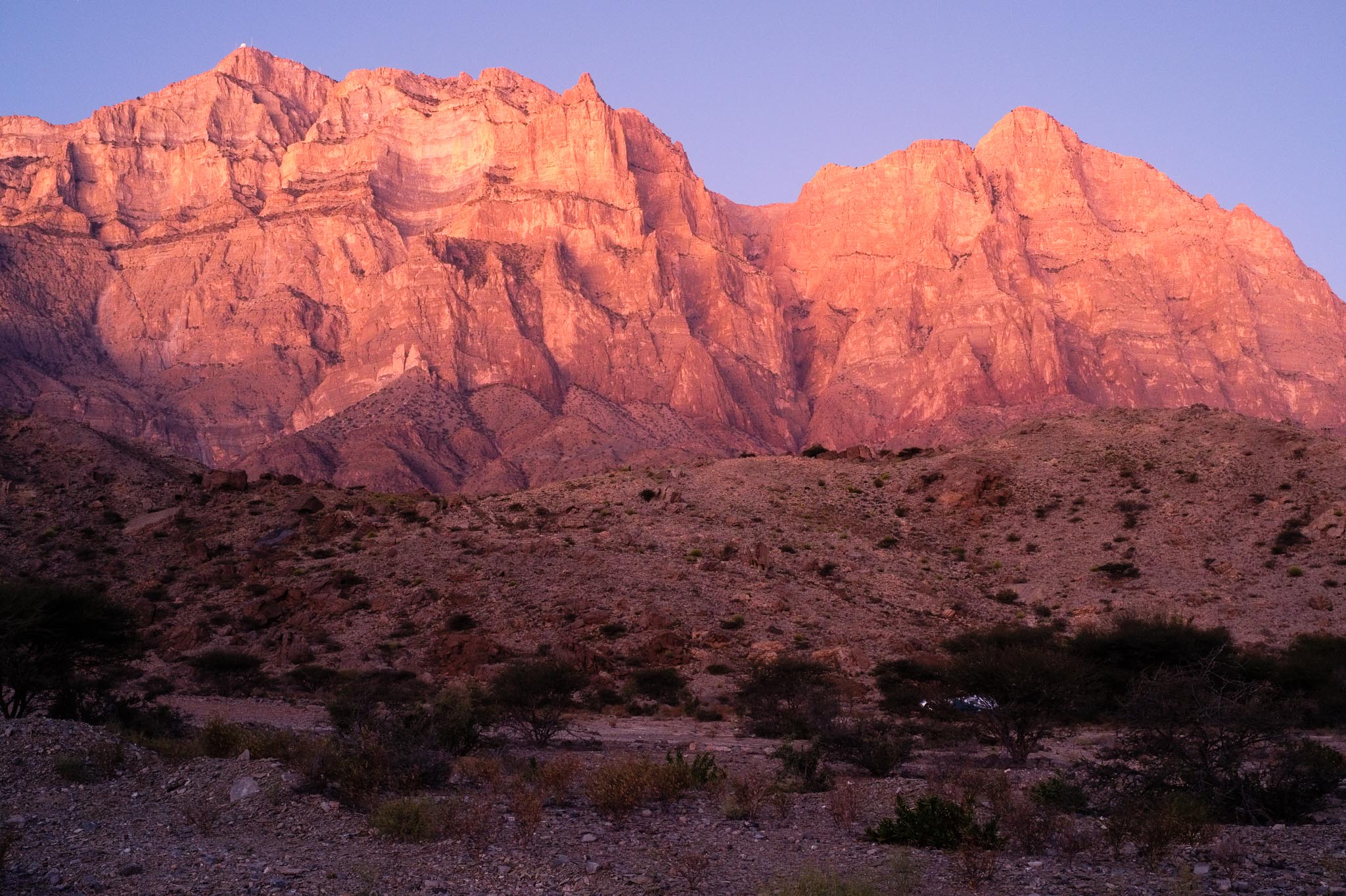
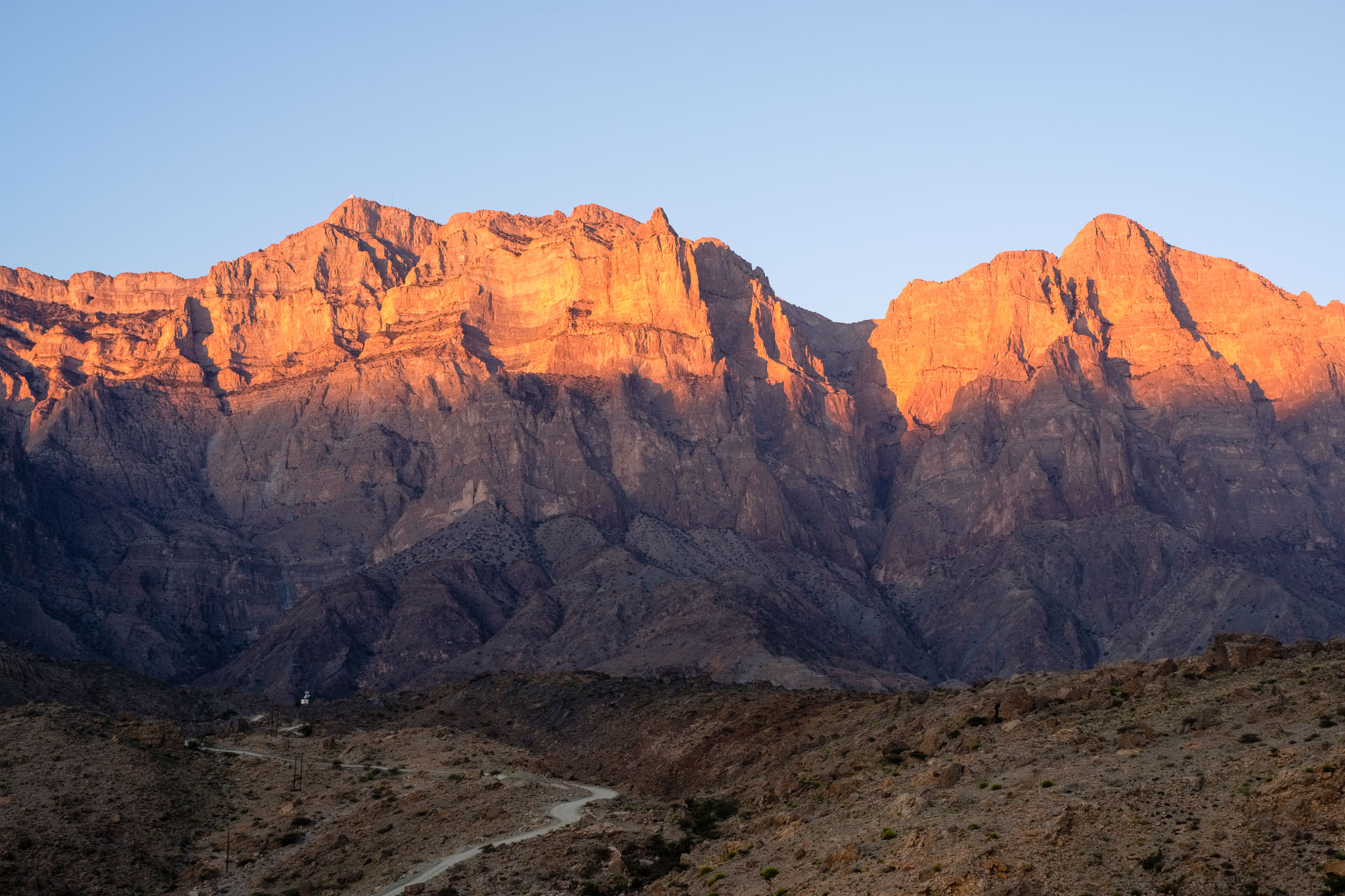
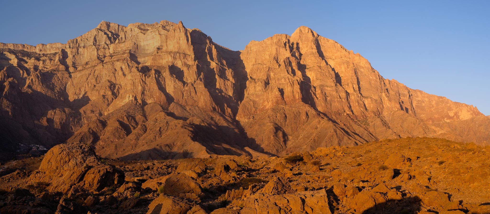
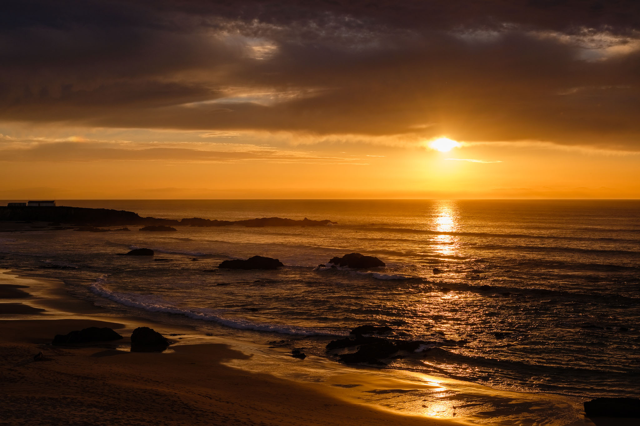
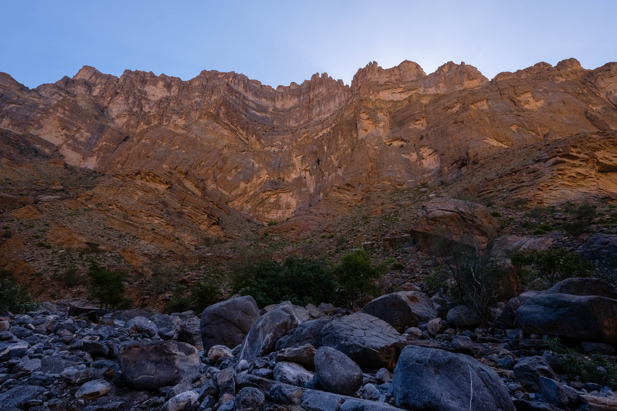
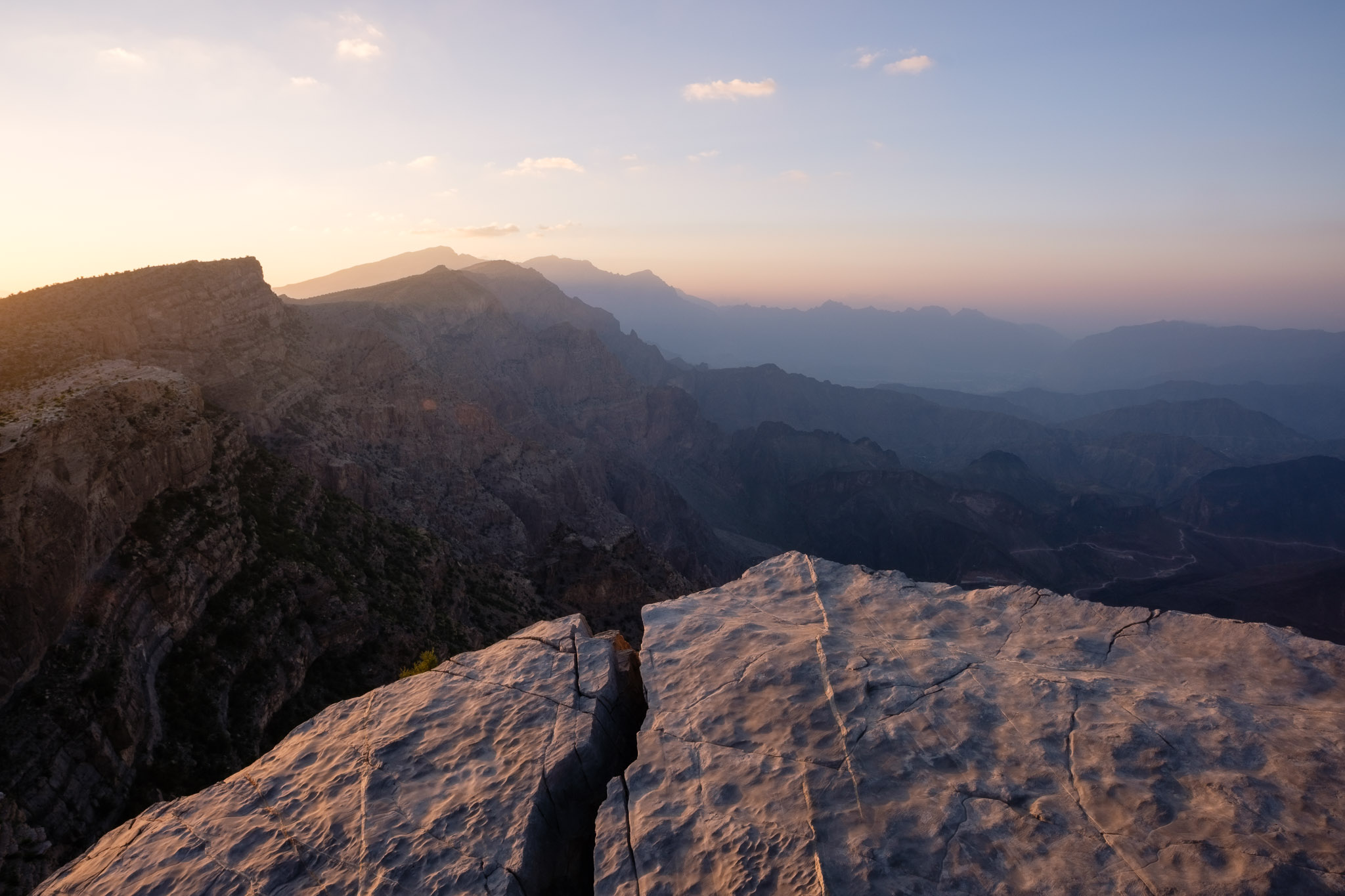
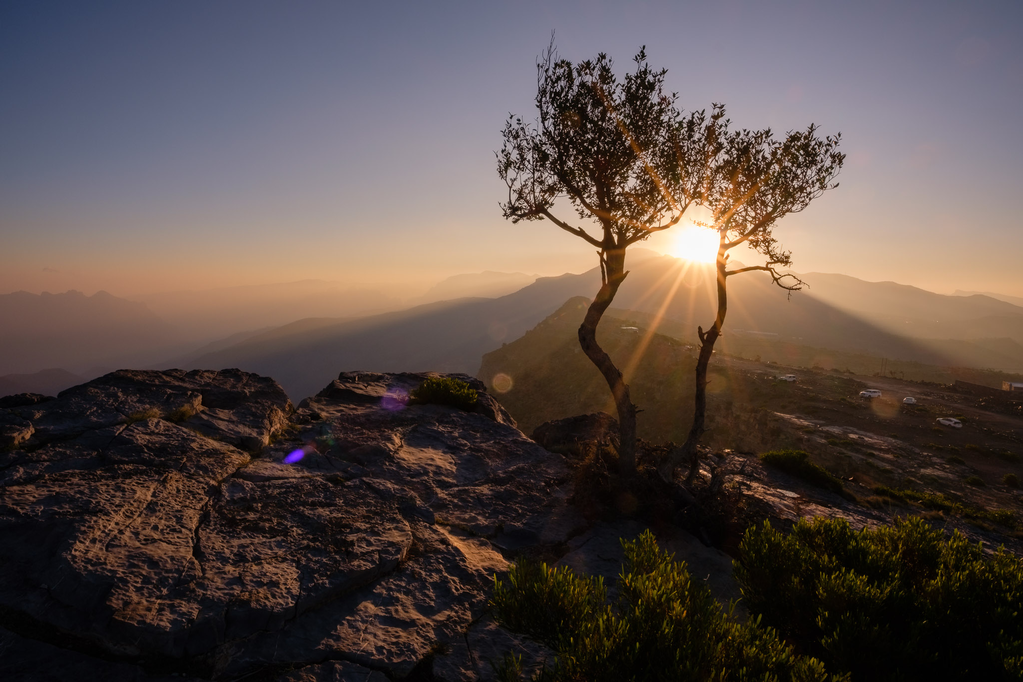
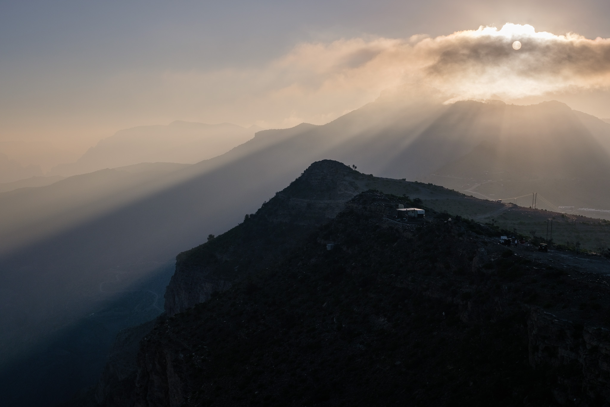
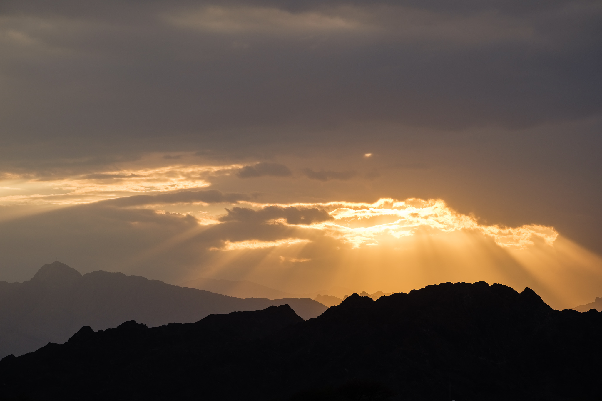
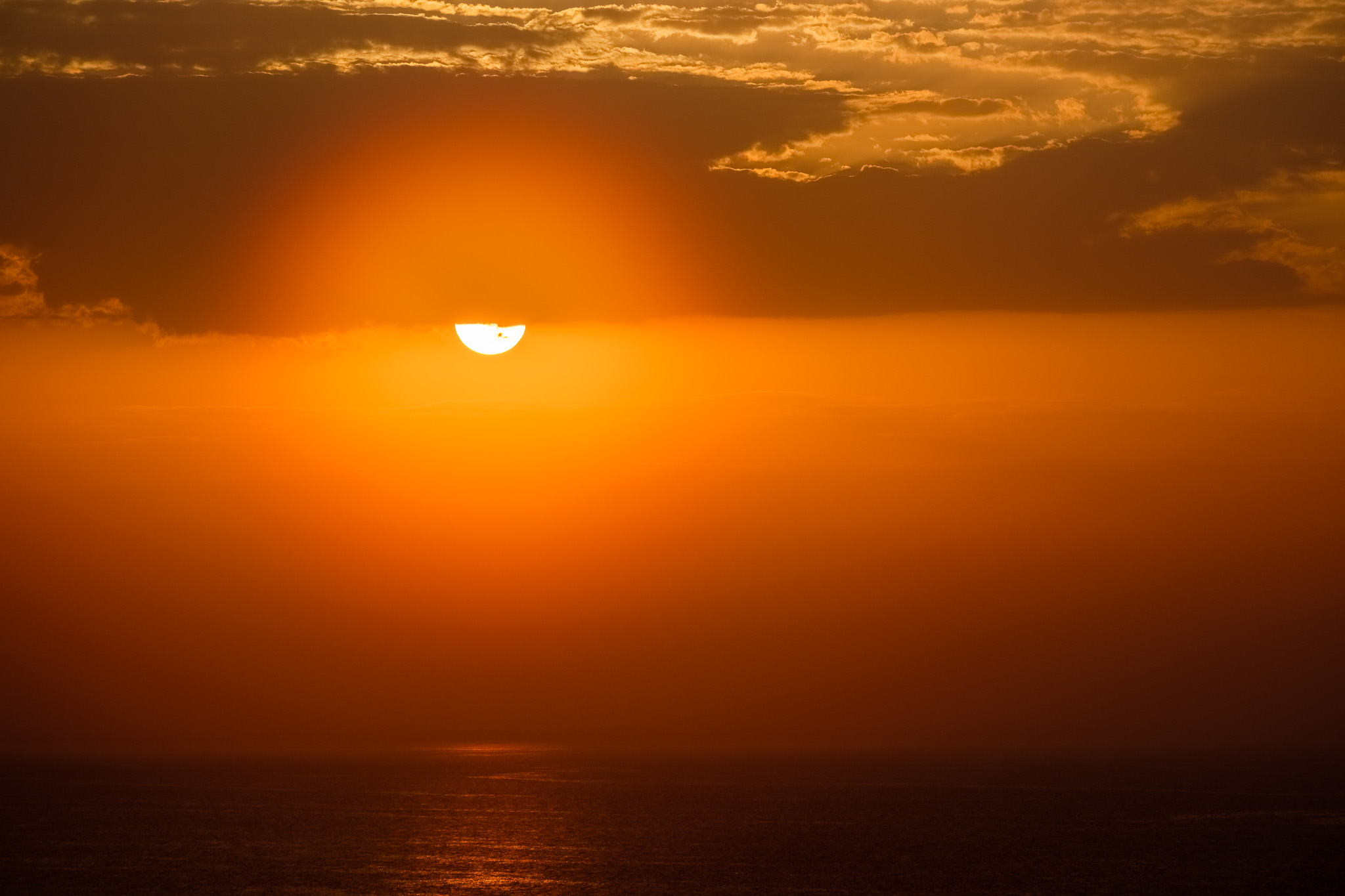
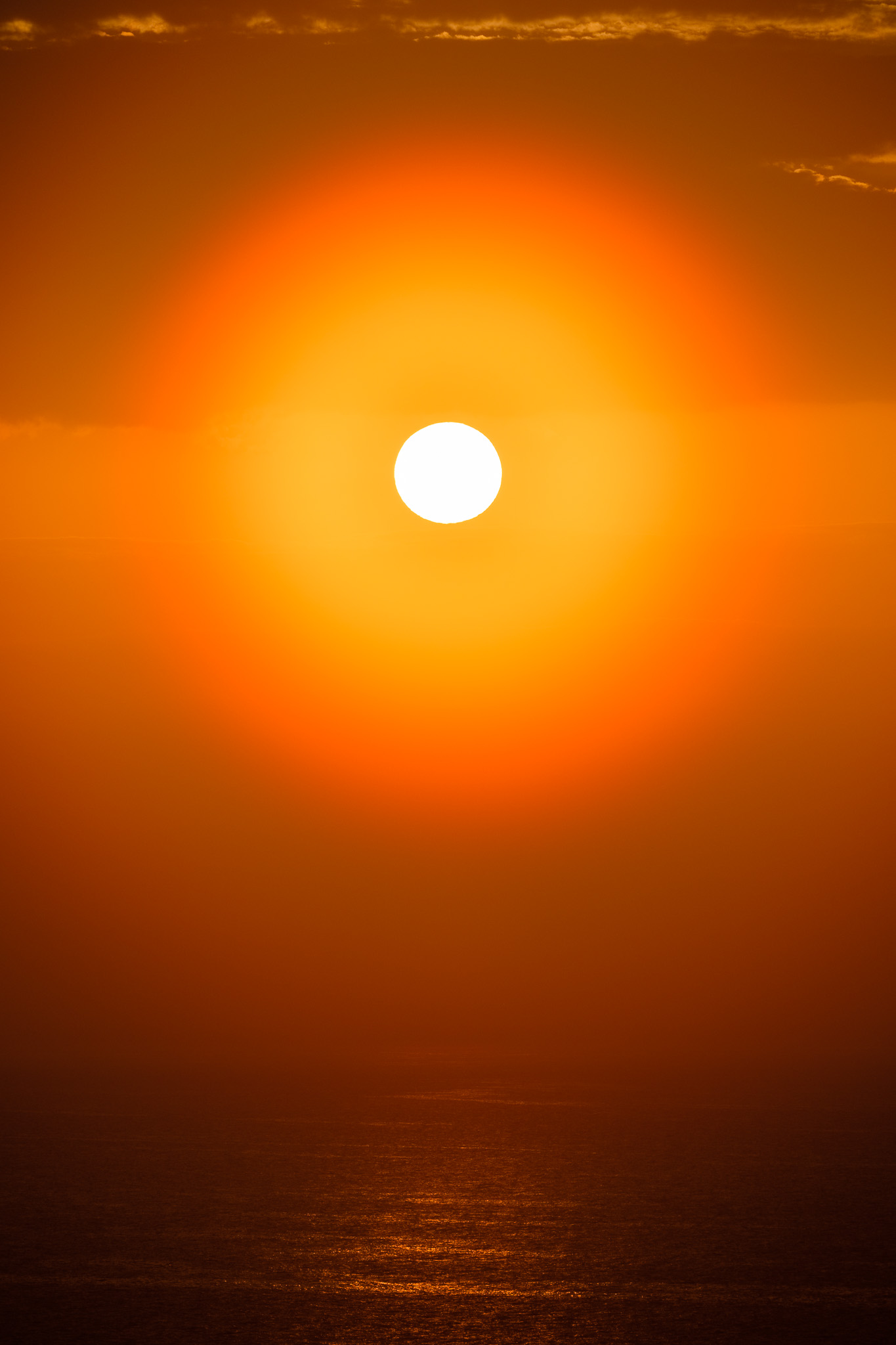
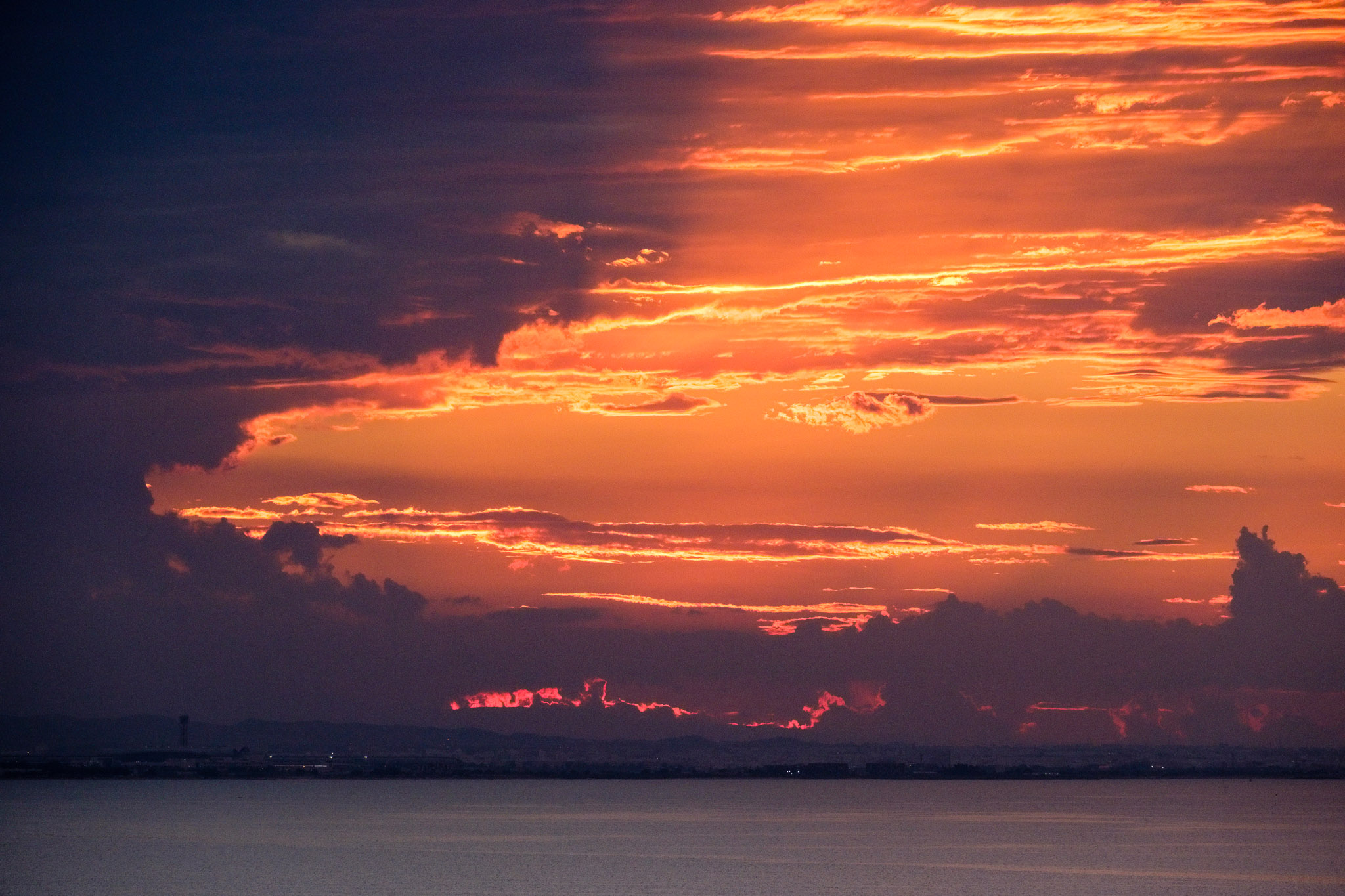
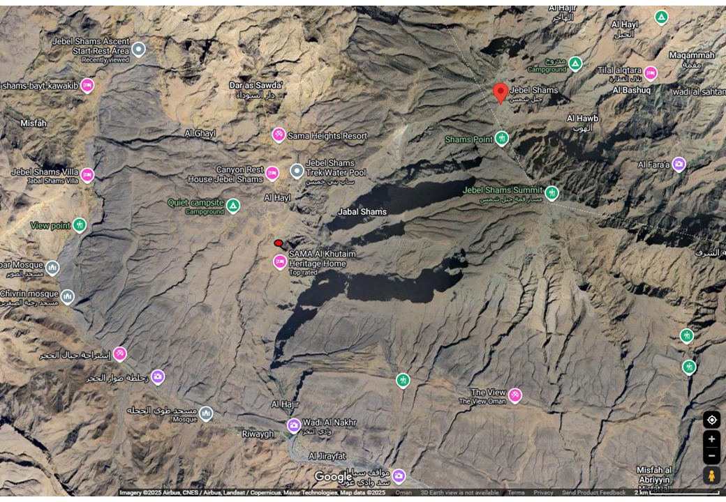
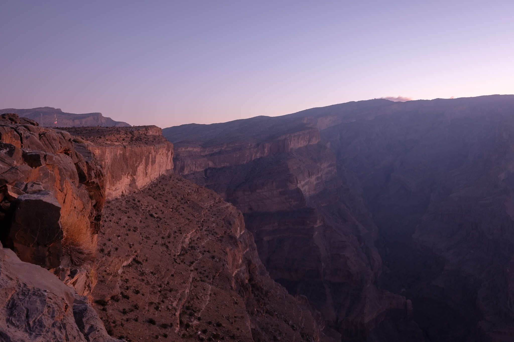
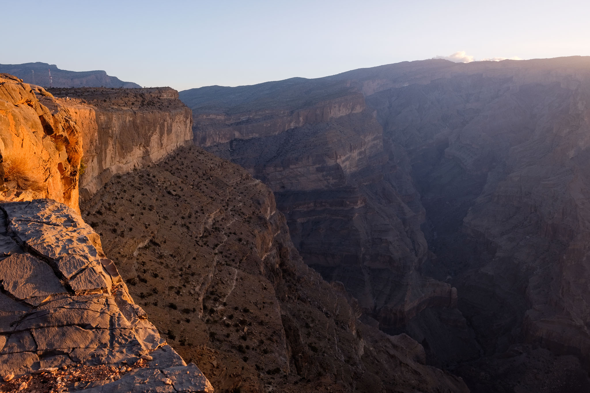
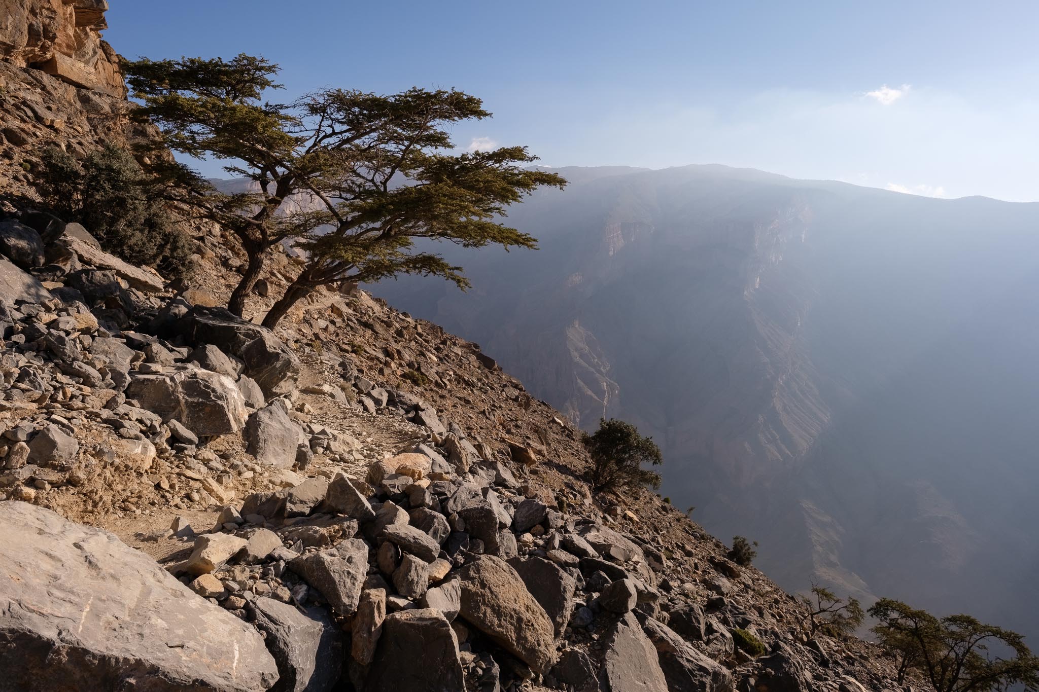
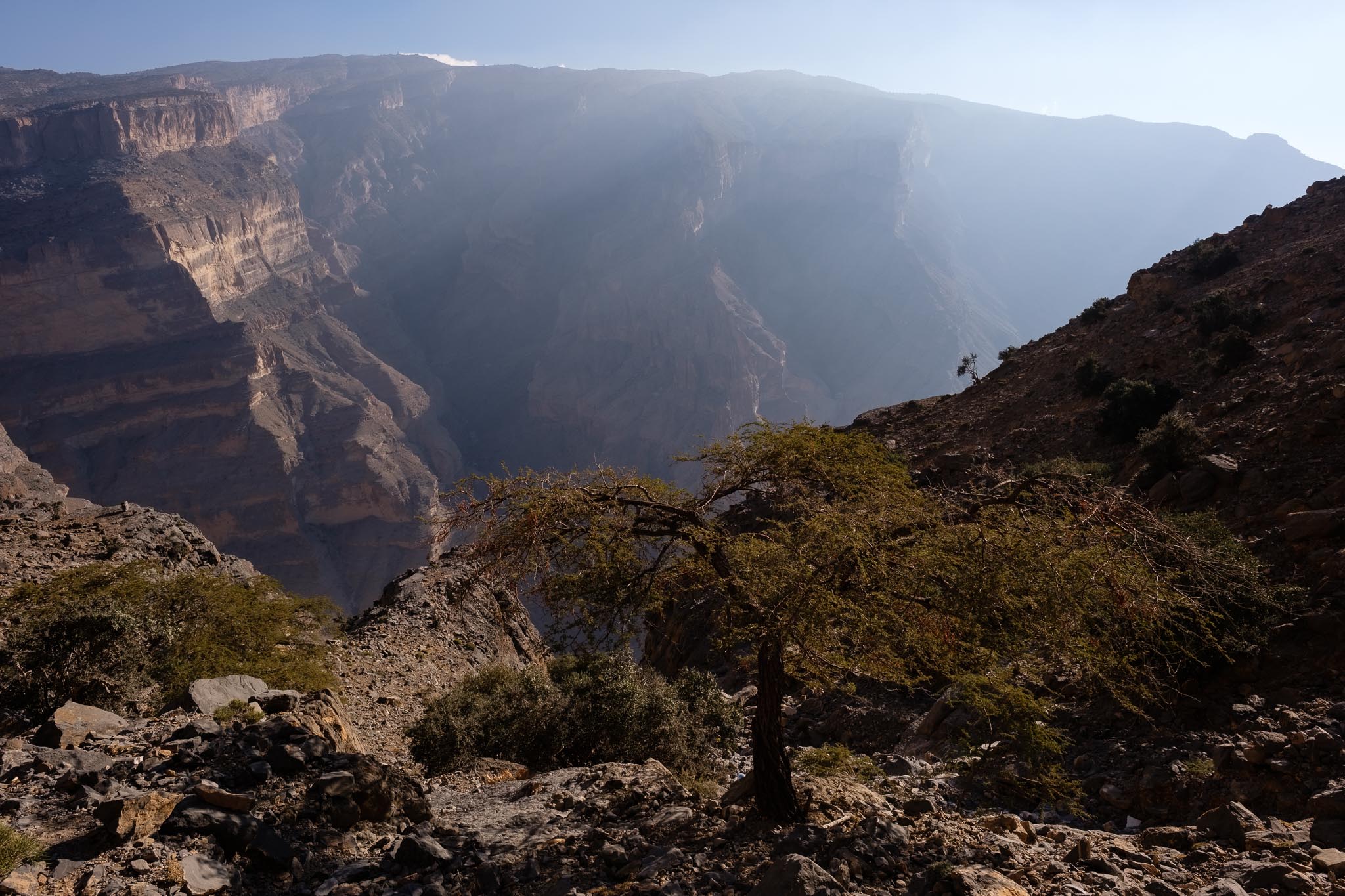
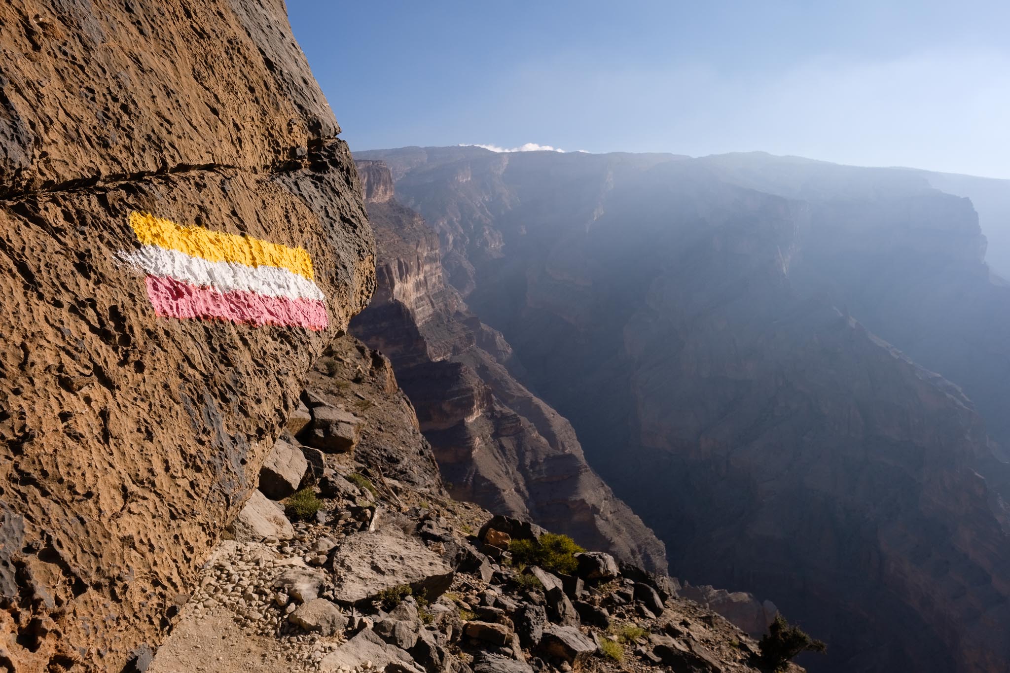
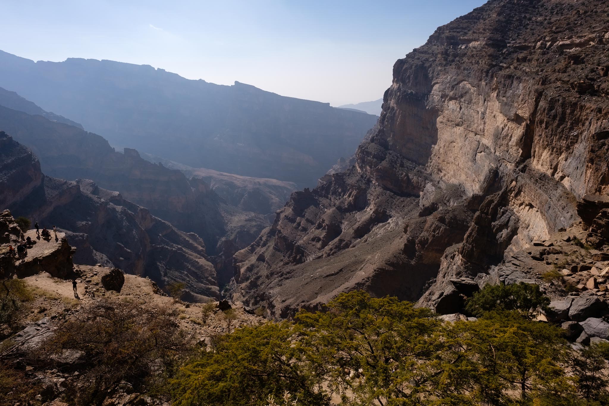
I woke up before sunrise as the first light of the day illuminated the mountain range, in an unforgettable display. After having breakfast and packing up the camping gear, I drove the short distance to the beginning of the Balcony Walk trail, in the village of Al Khitaym. As I said before, this is not a difficult or technical walk, with a total round-trip distance of about 8 km and approximately 350 m of elevation gain. Even though it is a safe walk, it is an old and narrow donkey trail that connected Al Khitaym and As Sab villages, below the rim of the mountain. If you are afraid of heights, make sure you are comfortable with it. I chose to do this walk in the early morning because this side of the canyon would be sunny, with better light for photography. In the afternoon the trail will be under shade, which might be preferable if you visit during the warmer months.
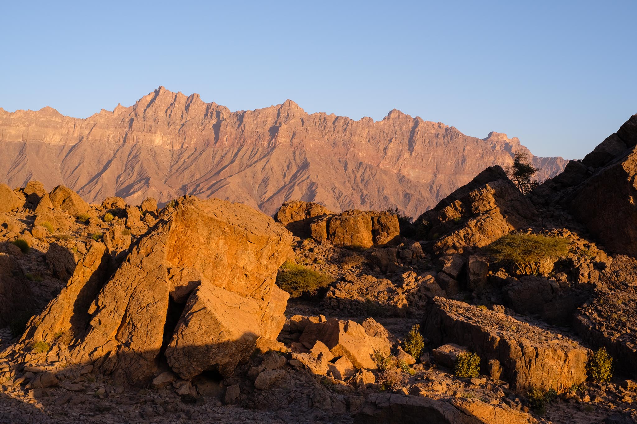
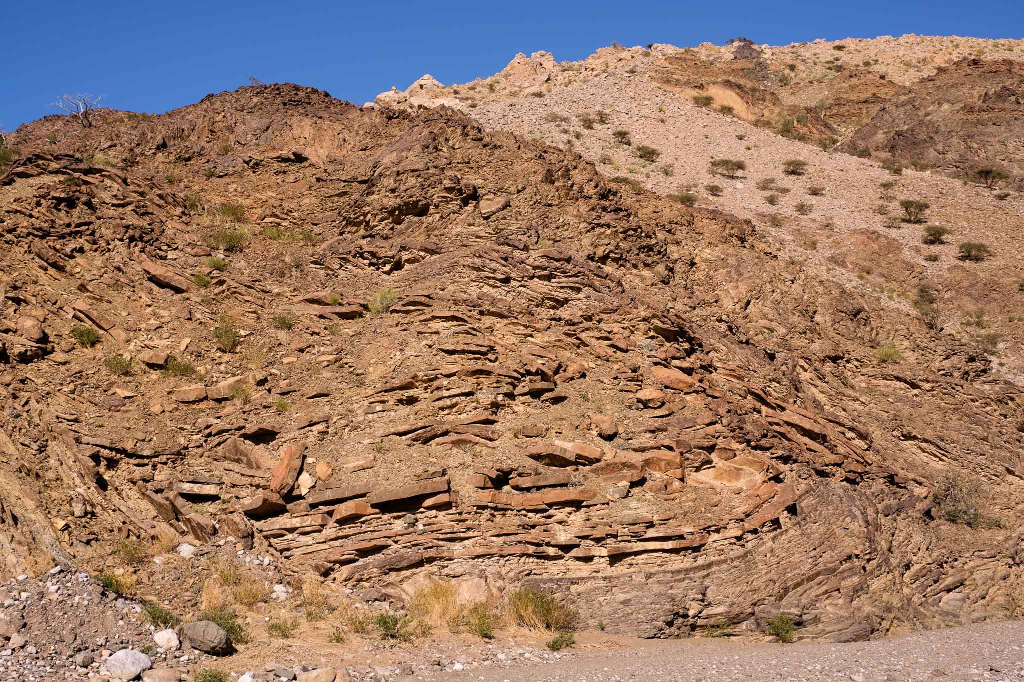
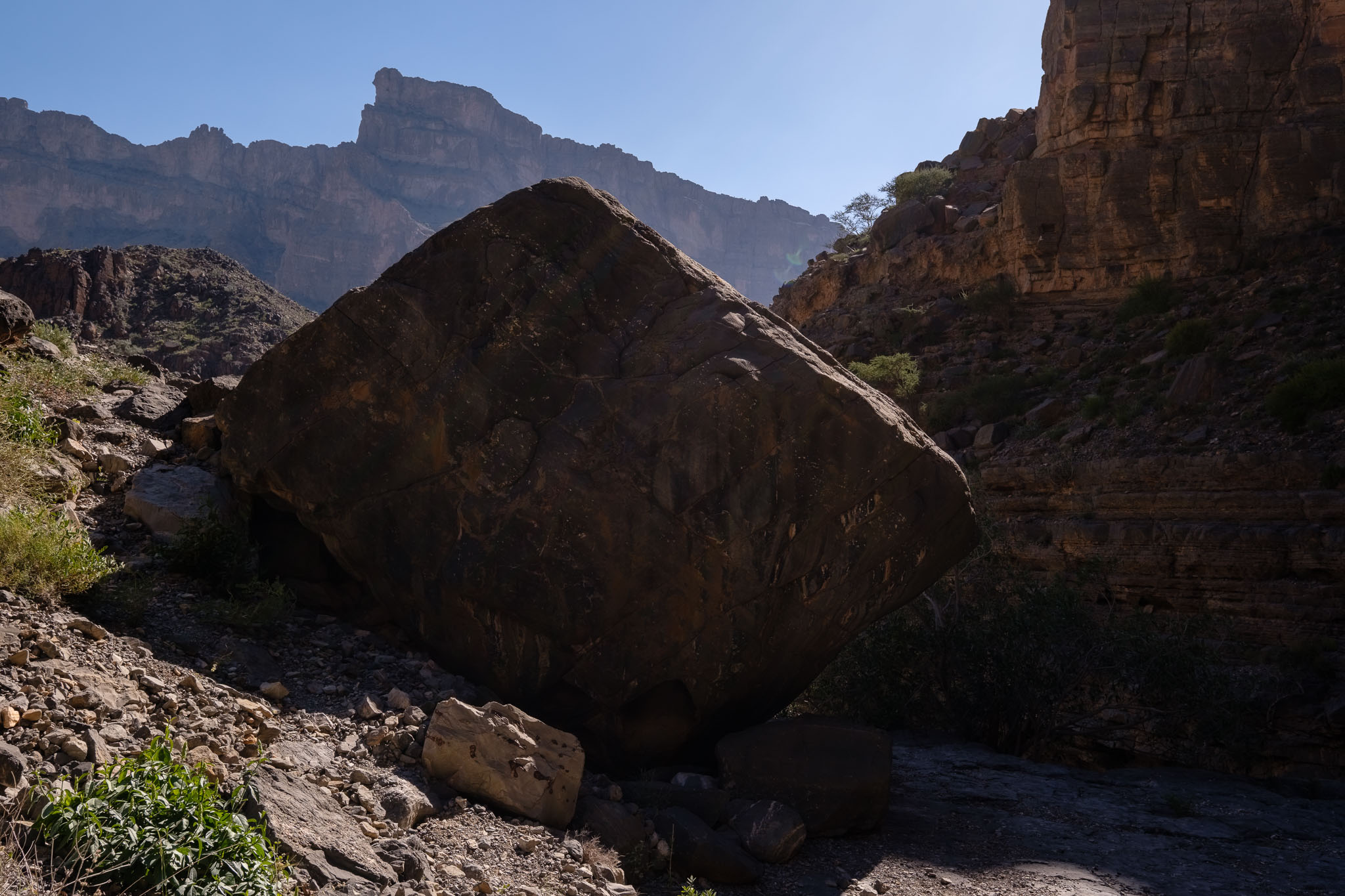
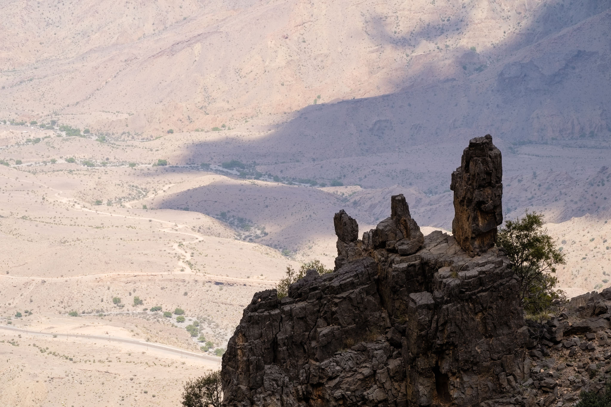
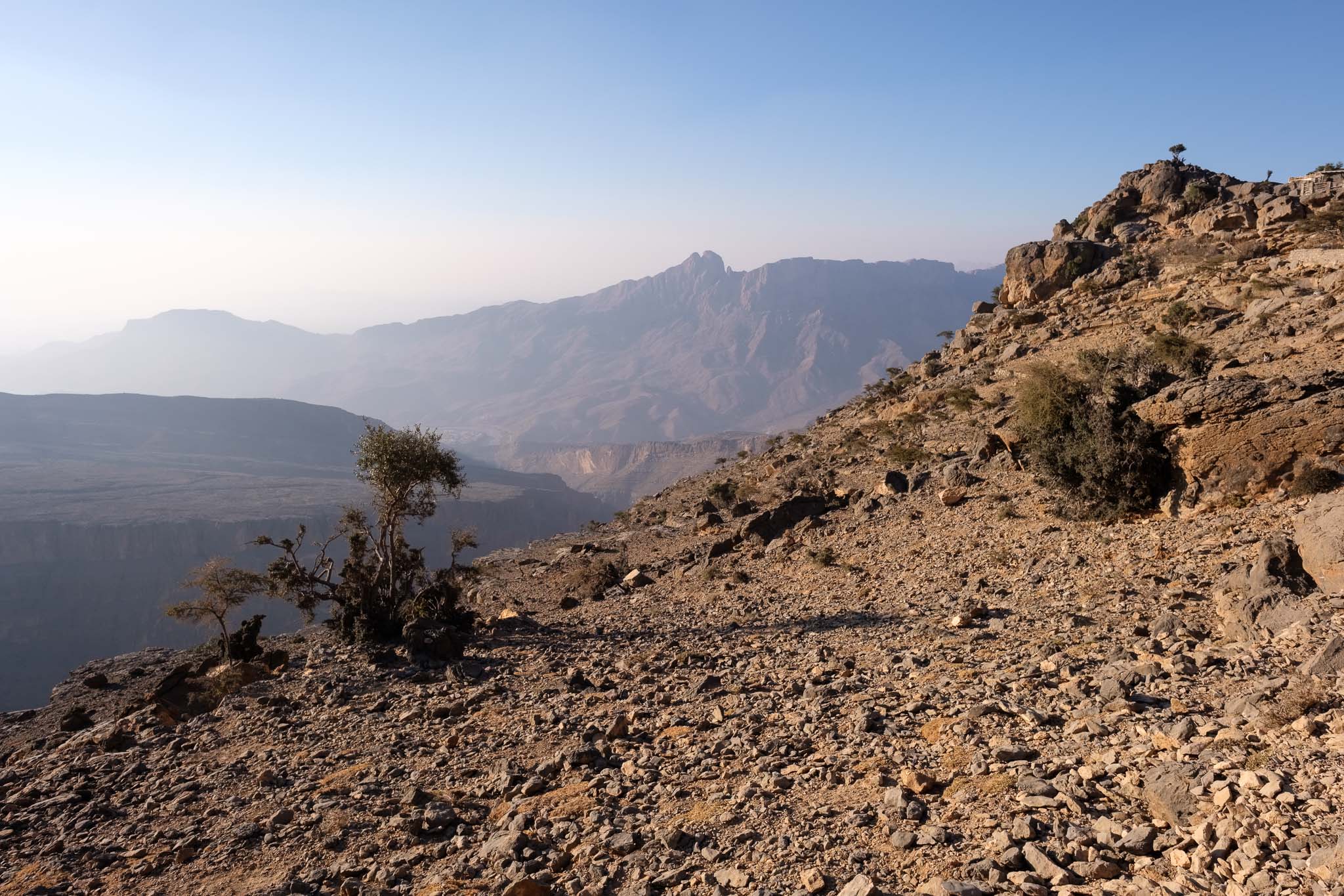
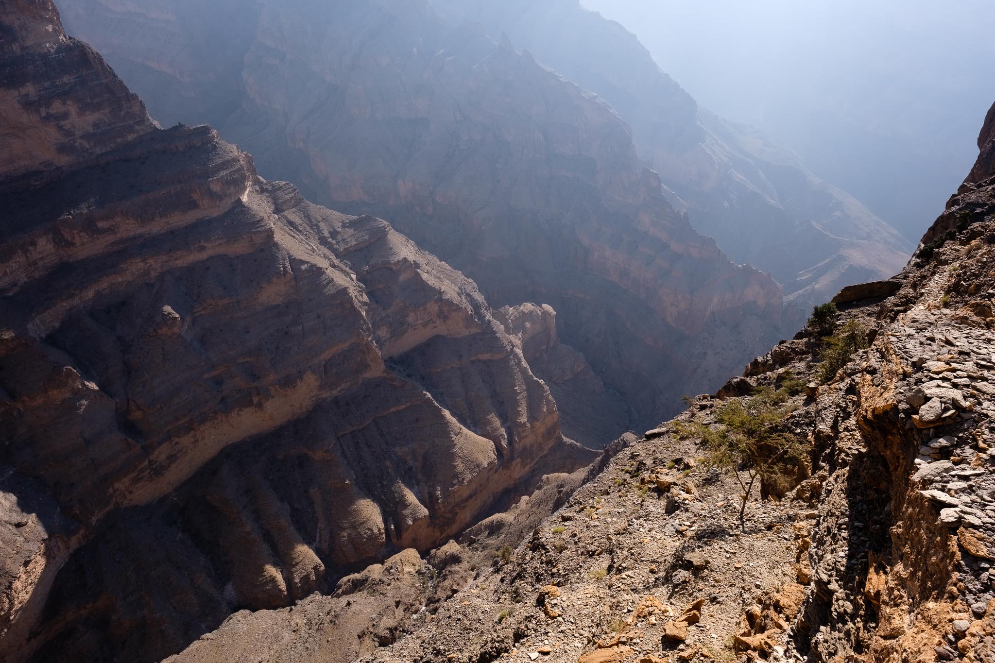
The path follows the gentle slope of the rock layers downhill, and I stopped many times for photos, as the vistas are incredible. Looking up, I recognized the spot where I had been taking photos the previous day, at the top of a massive rock formation. Admiring the canyon from the rim is a great experience, but walking this trail, below the rim, makes you feel like you are really part of the landscape. This is a popular walk, so soon I was meeting other fellow trekkers, even this early in the day. The path is narrow, but there is enough space to accommodate other people, so you can walk at your own pace and stop when and where you wish without any problems.
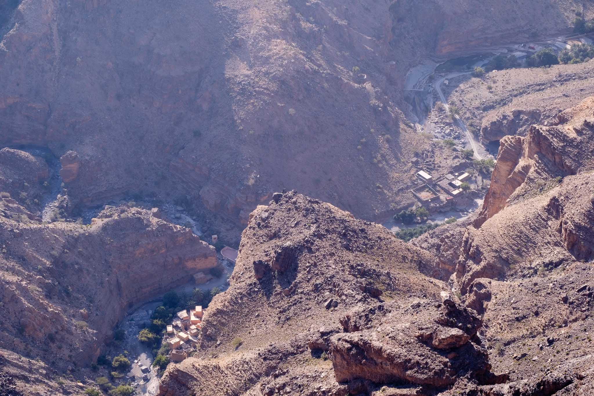

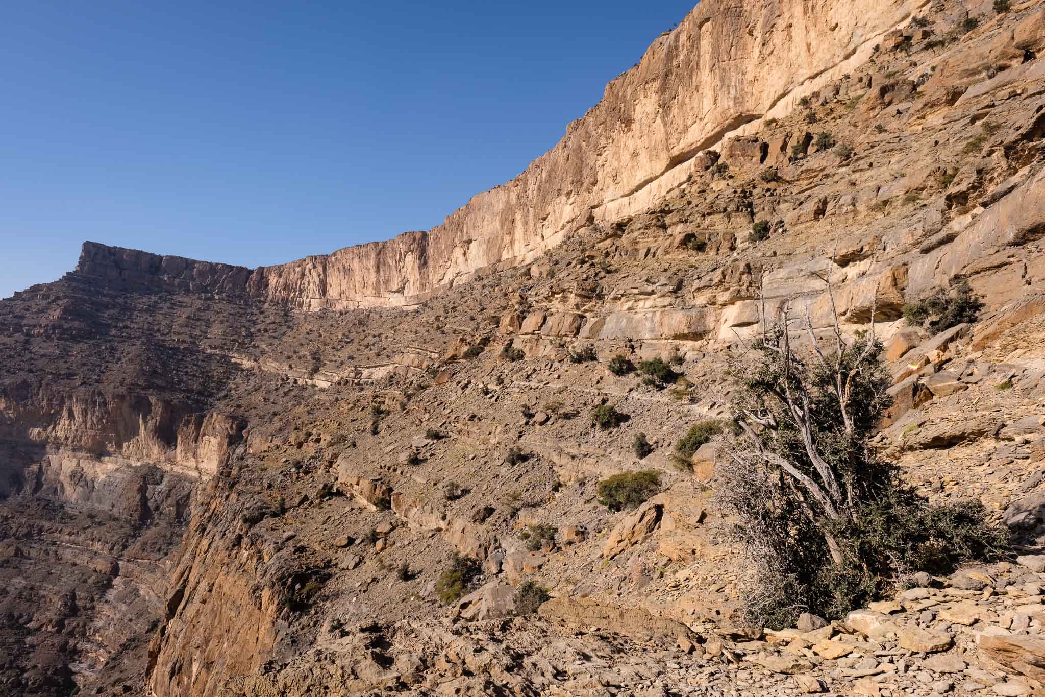
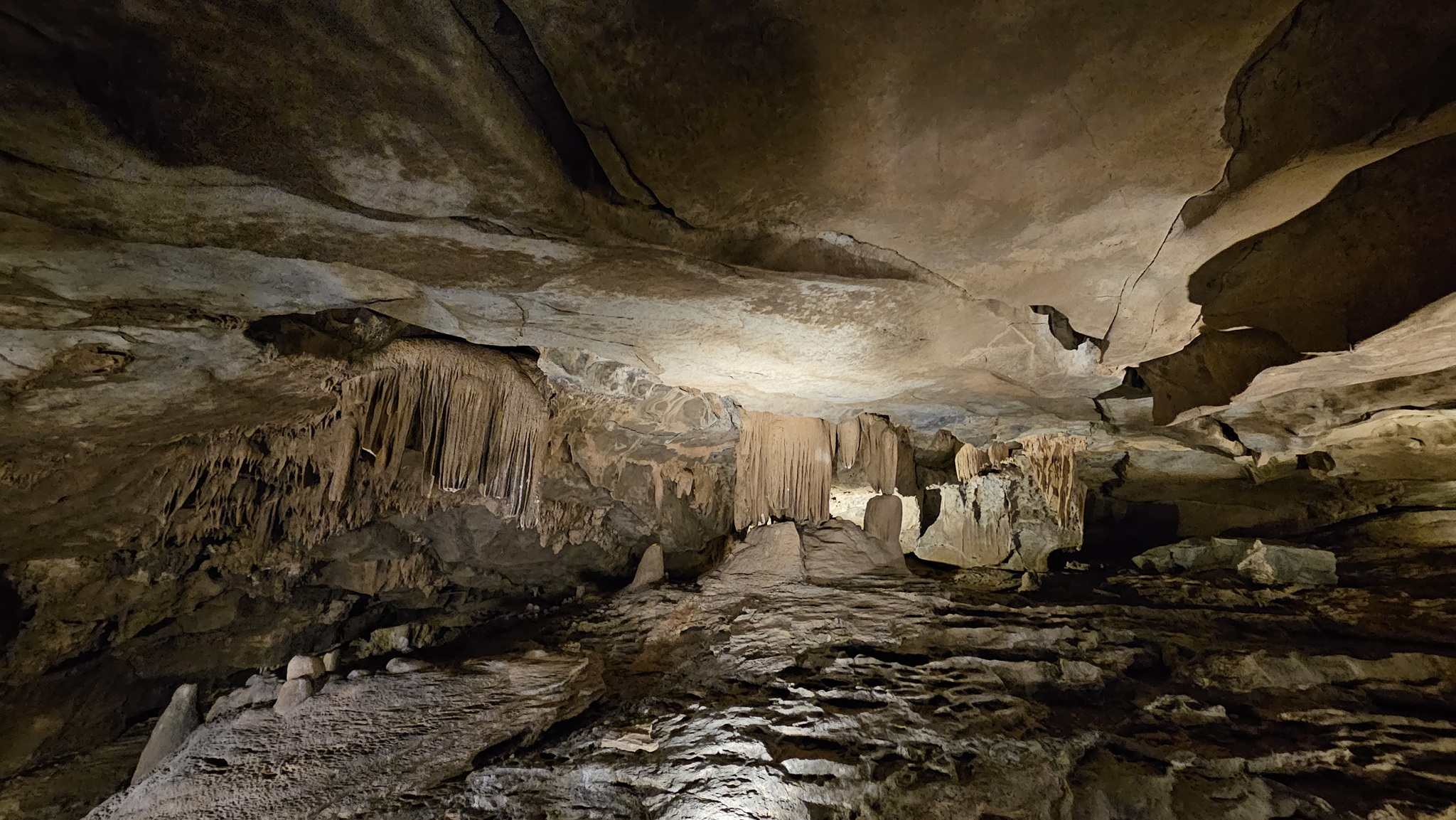
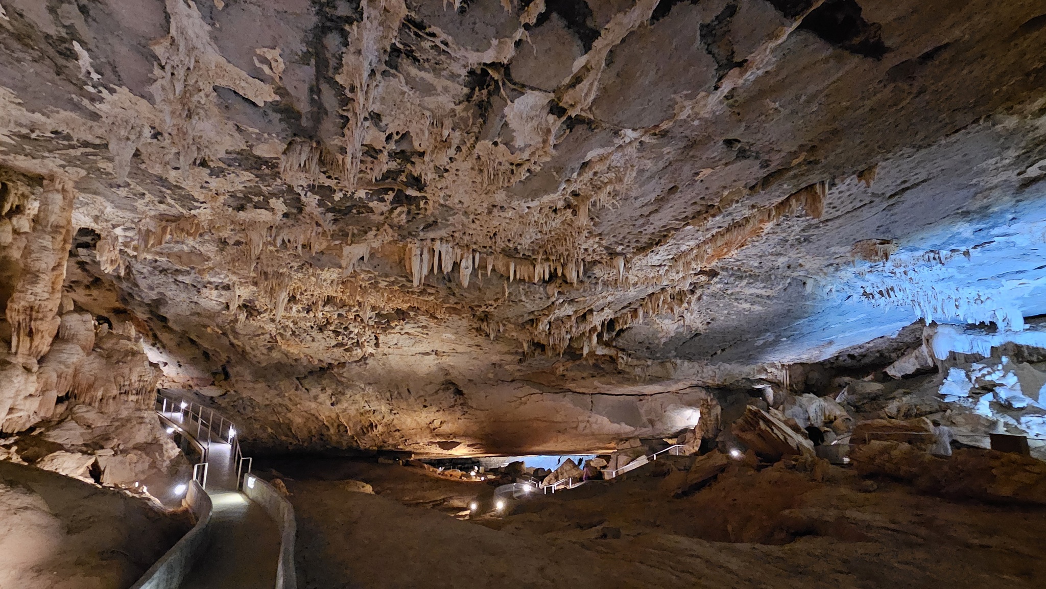
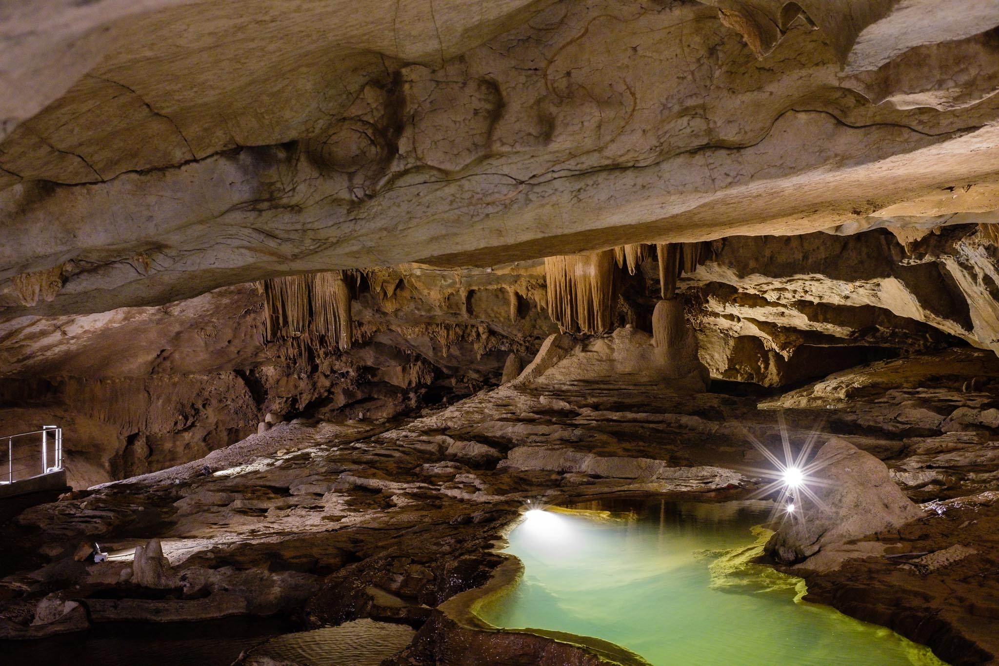
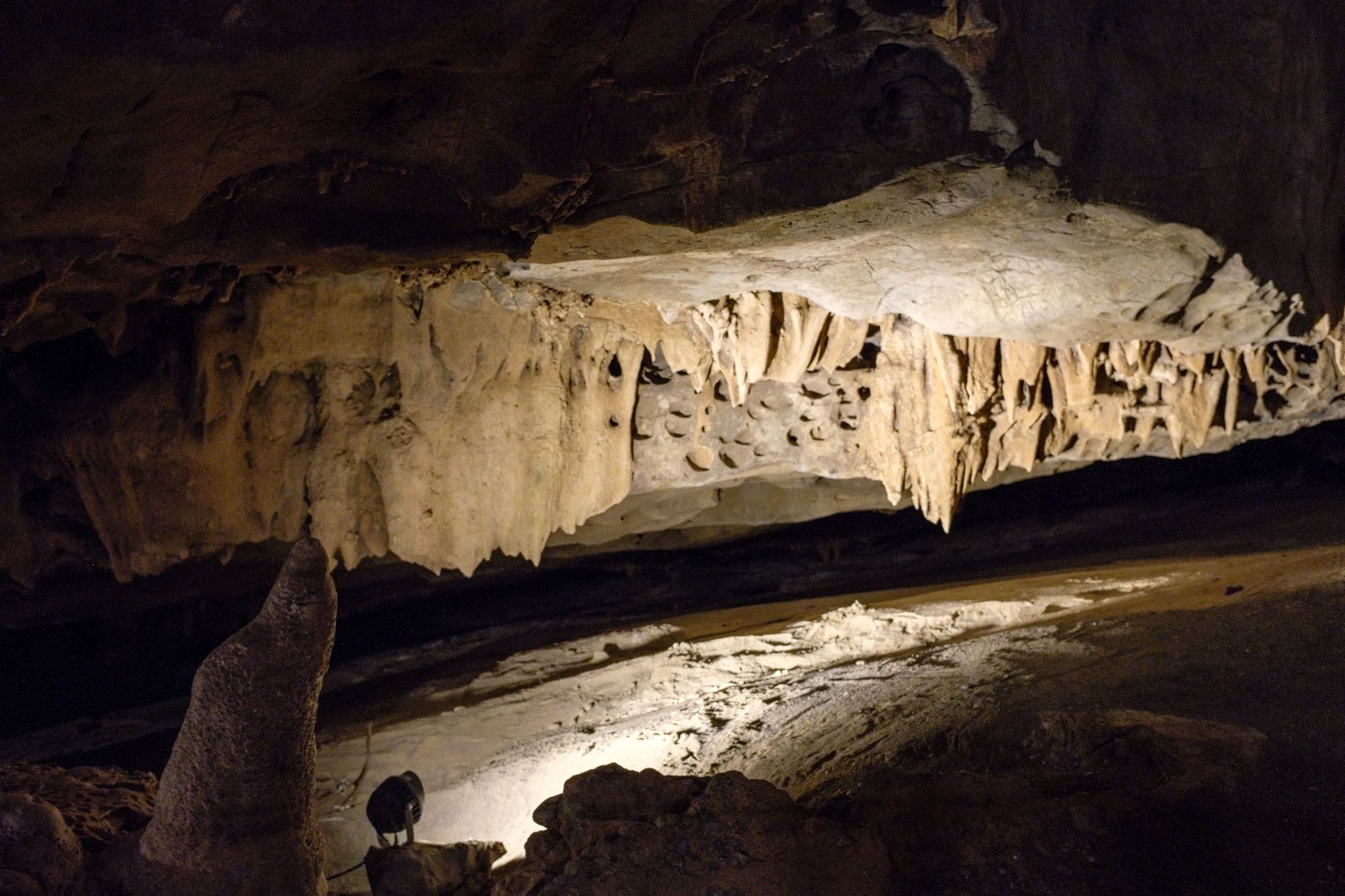
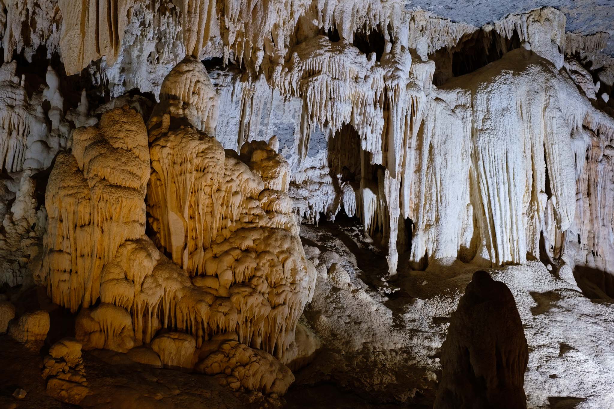
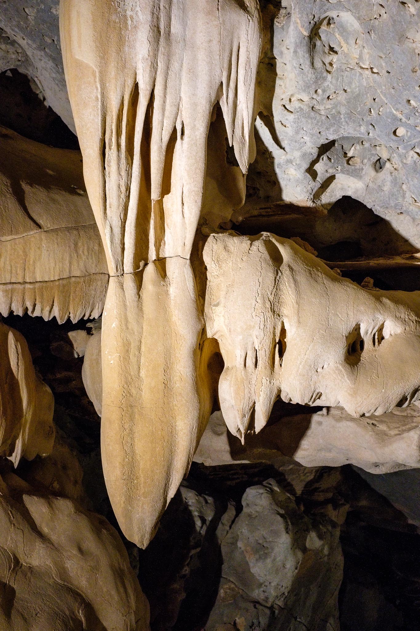
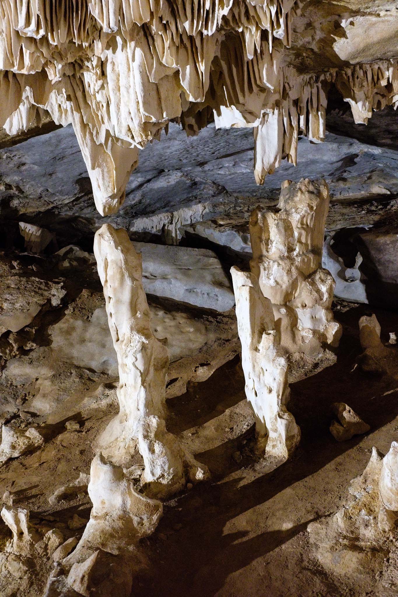
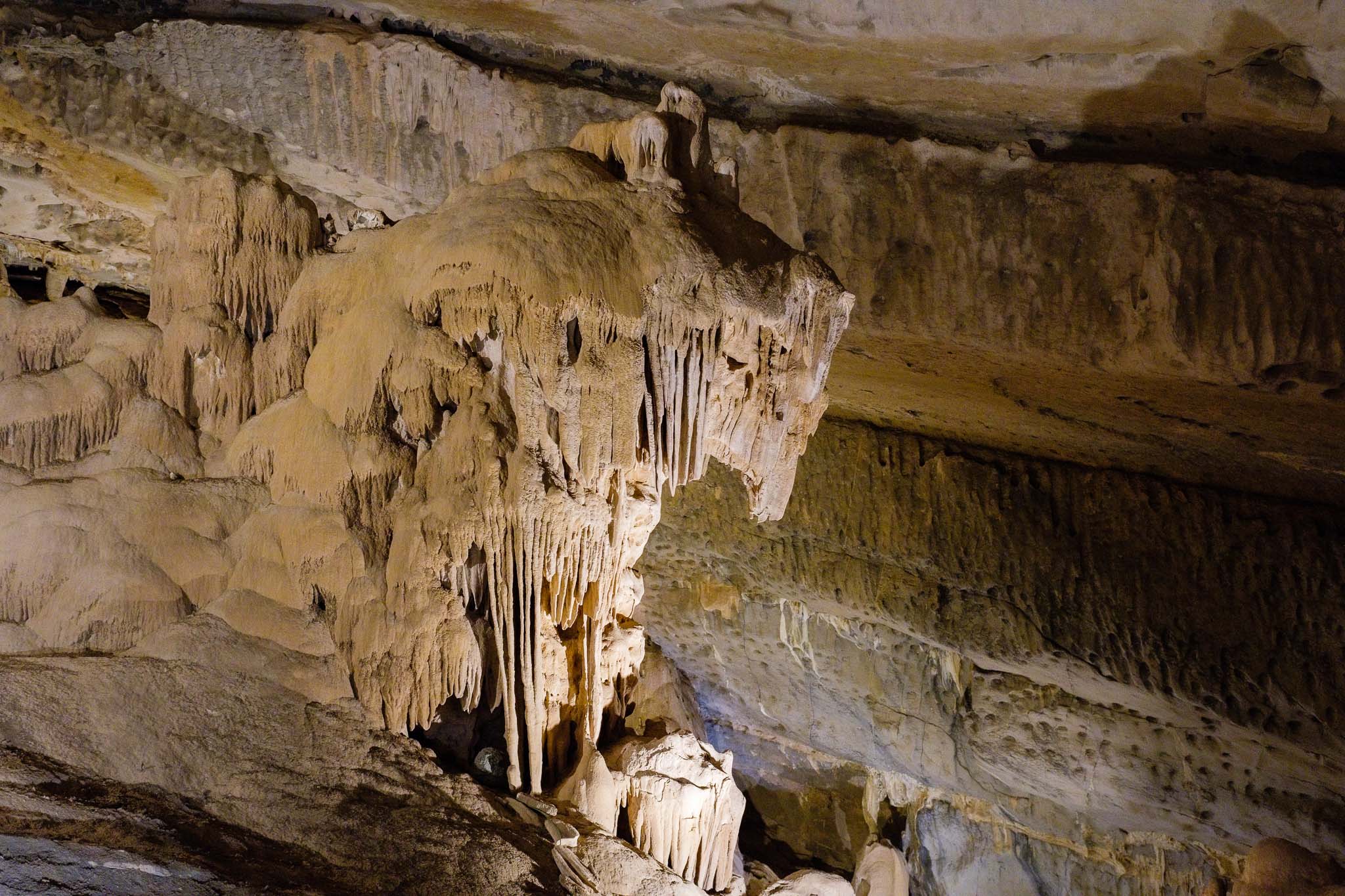
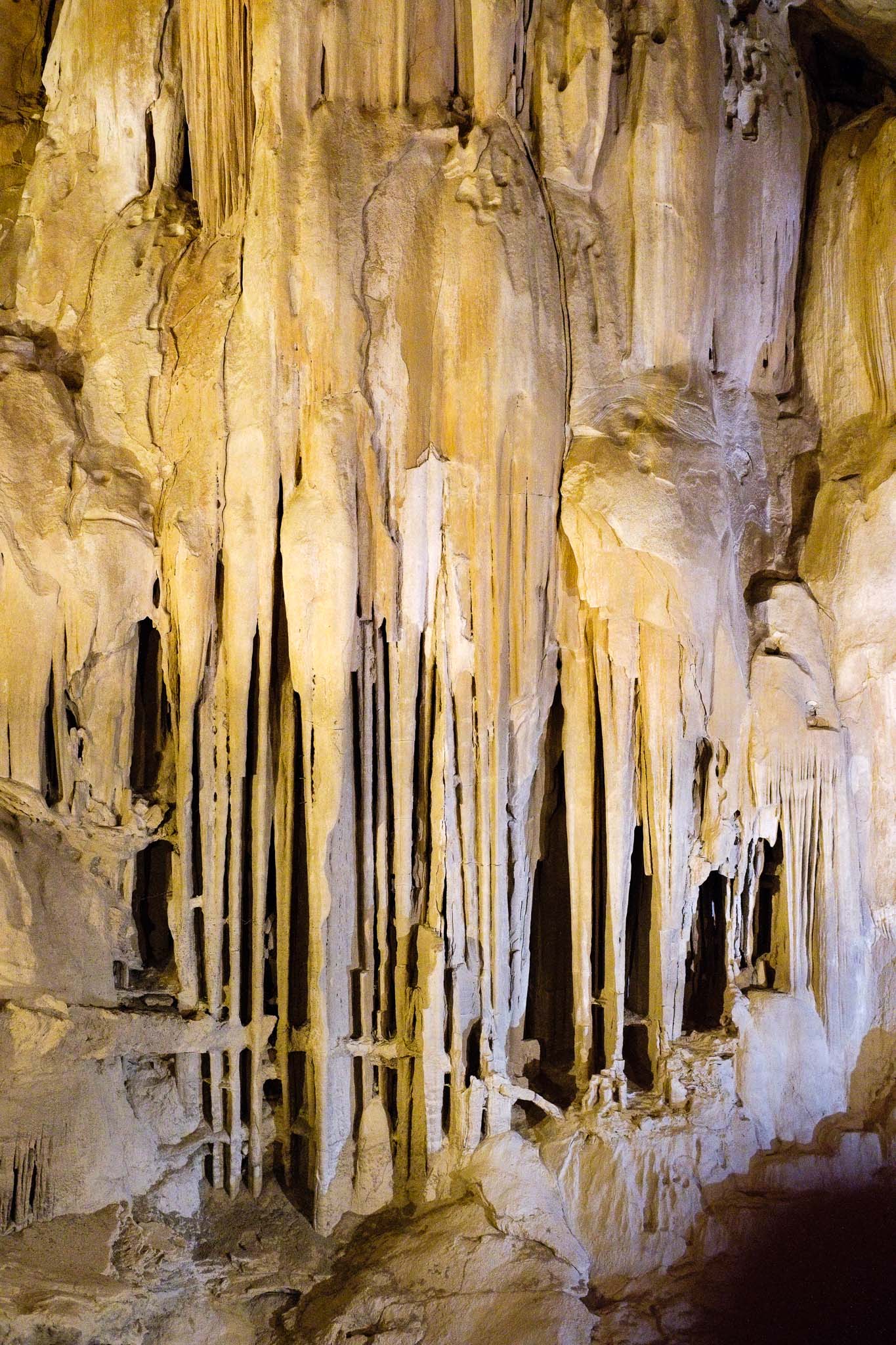
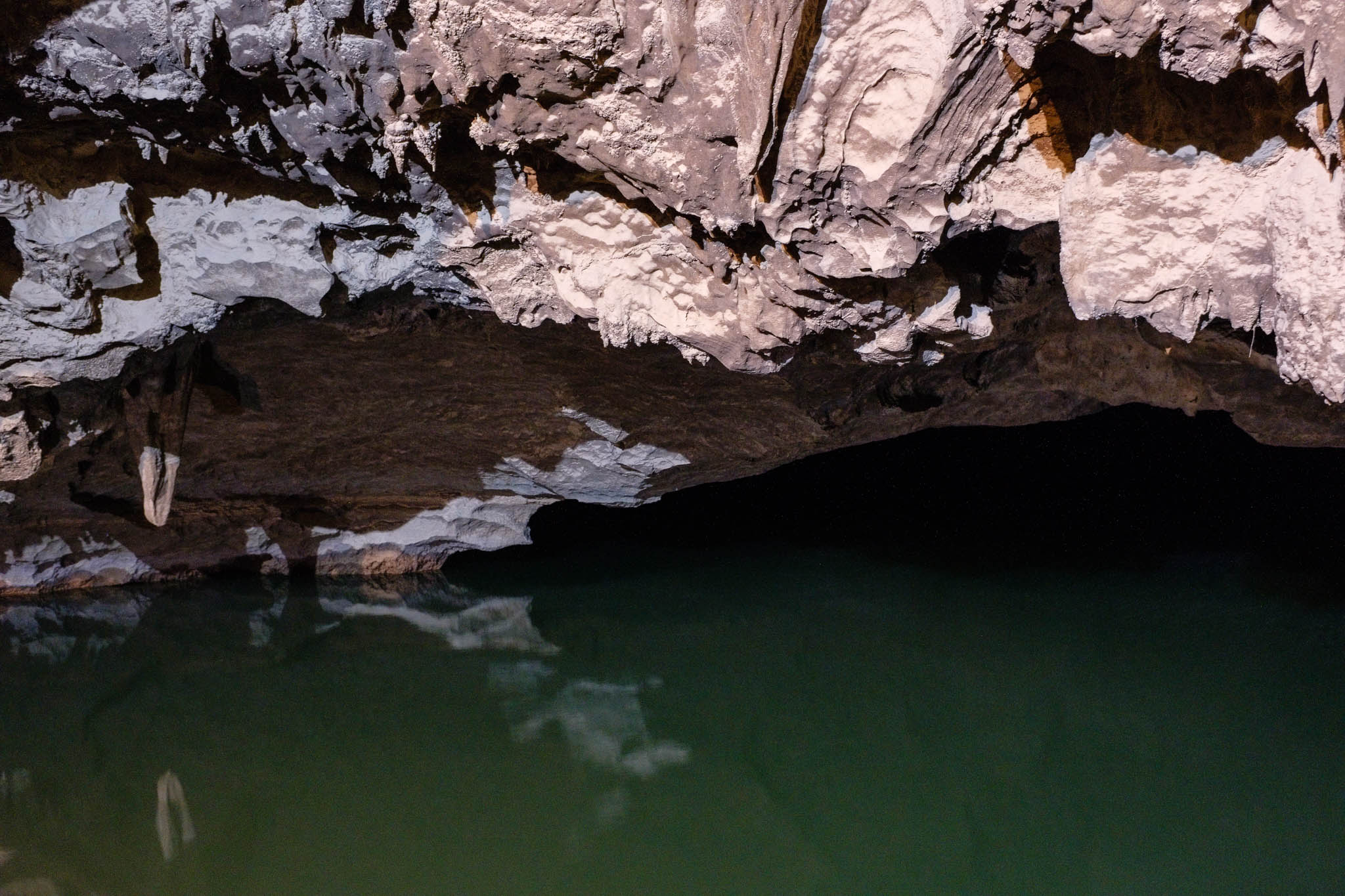
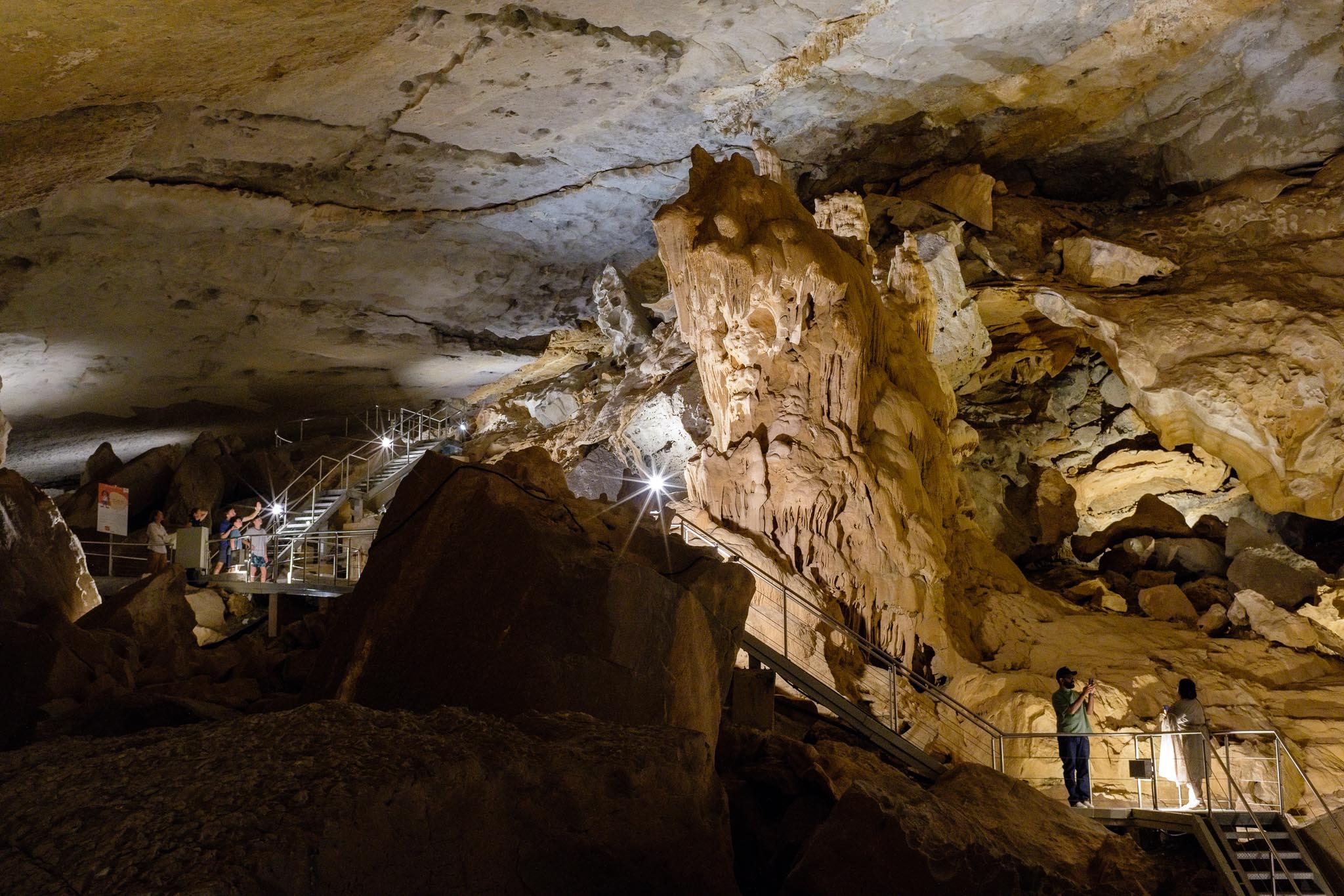
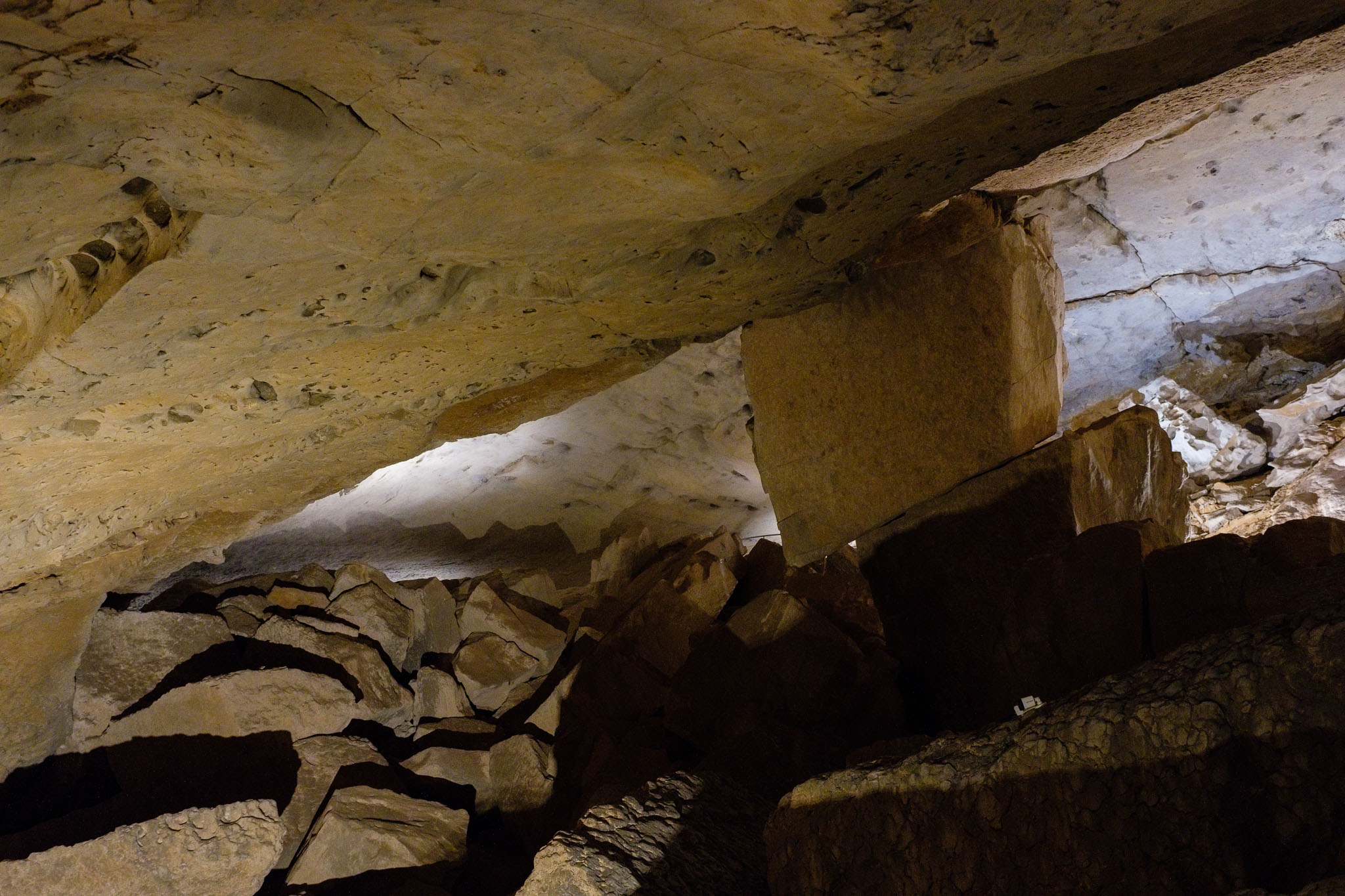
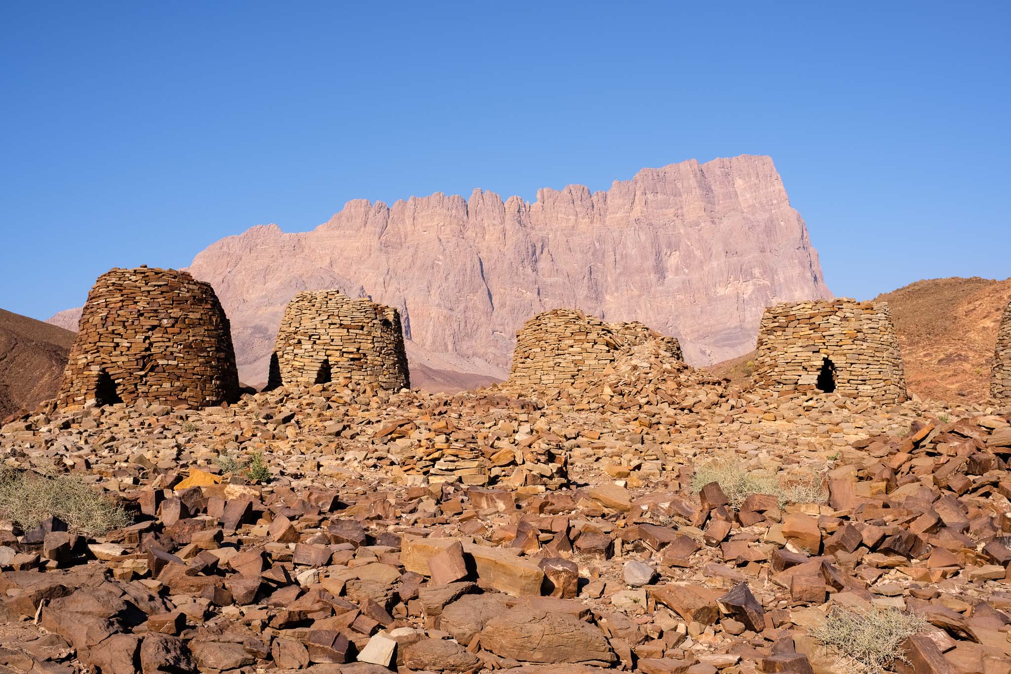
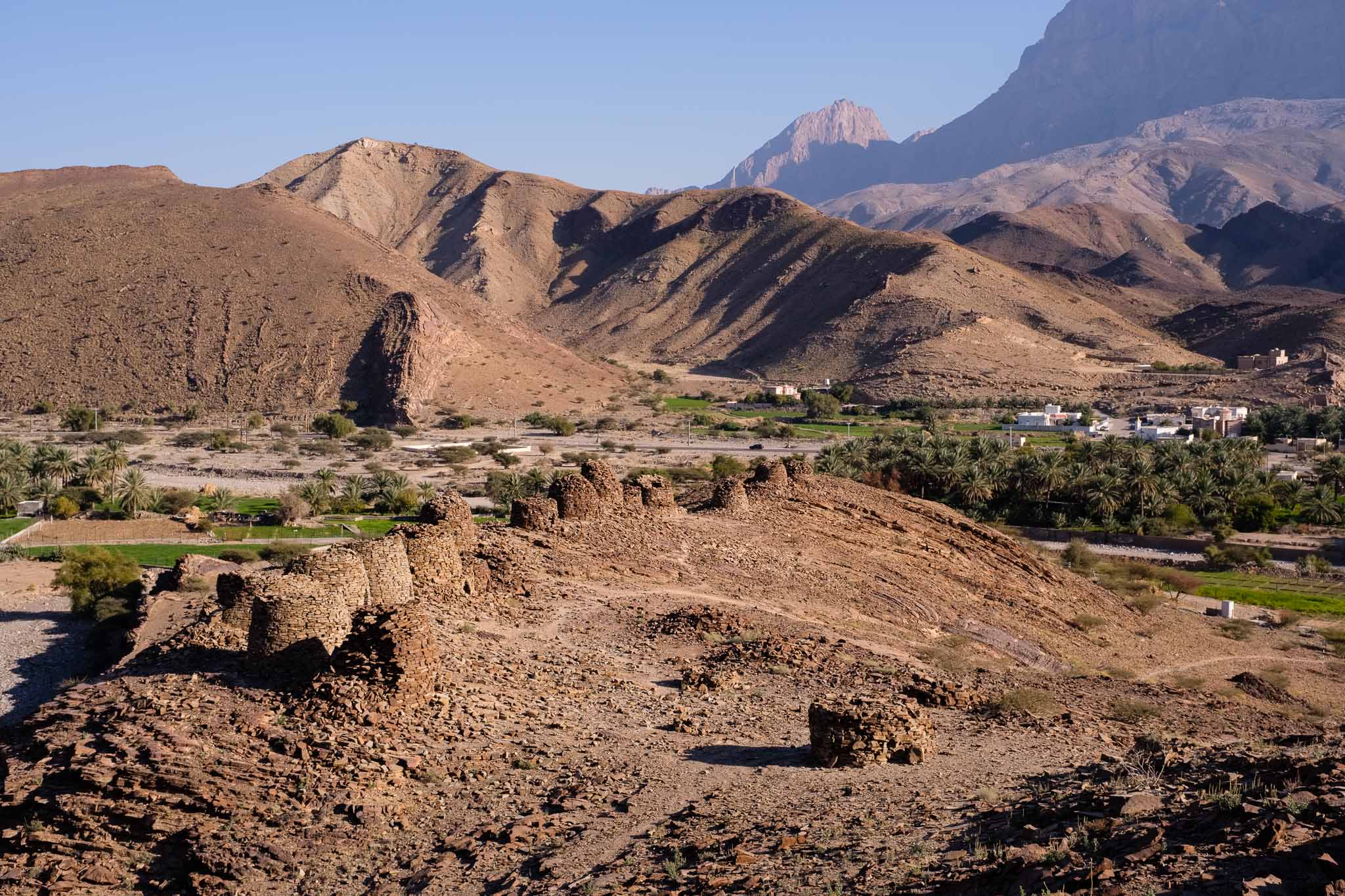
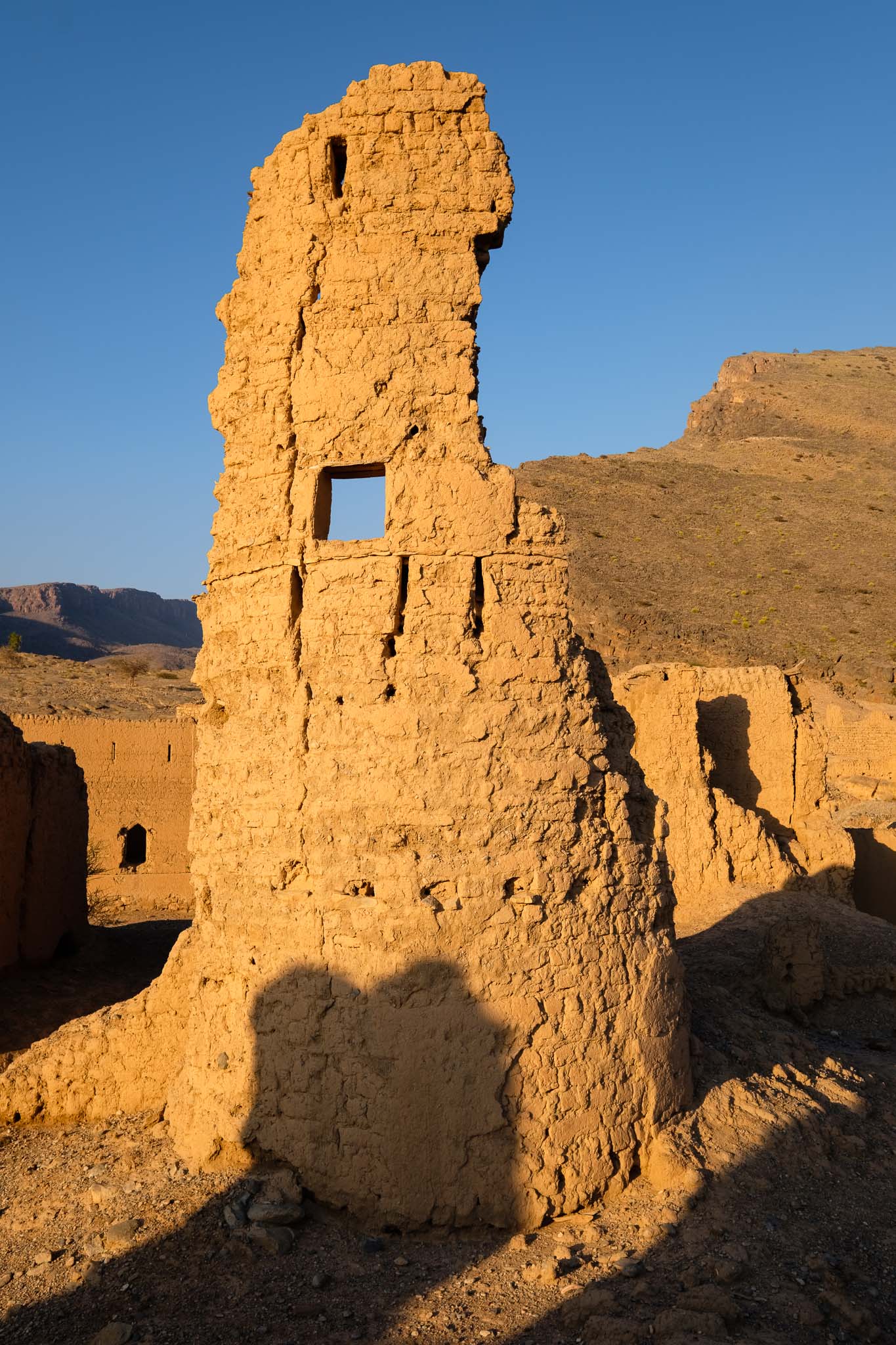
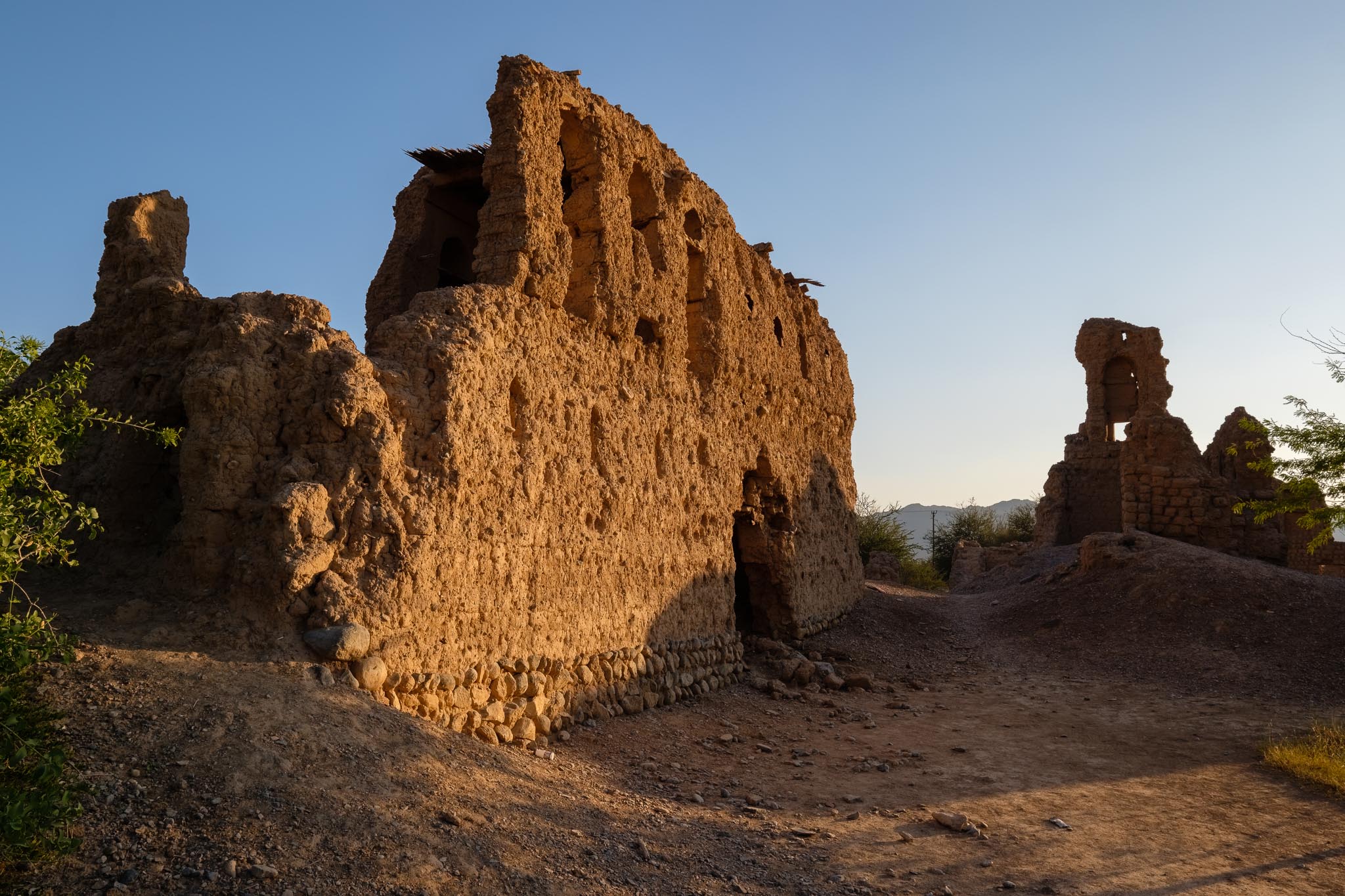
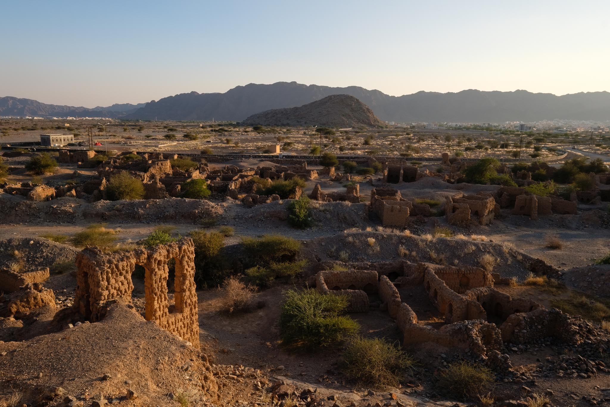
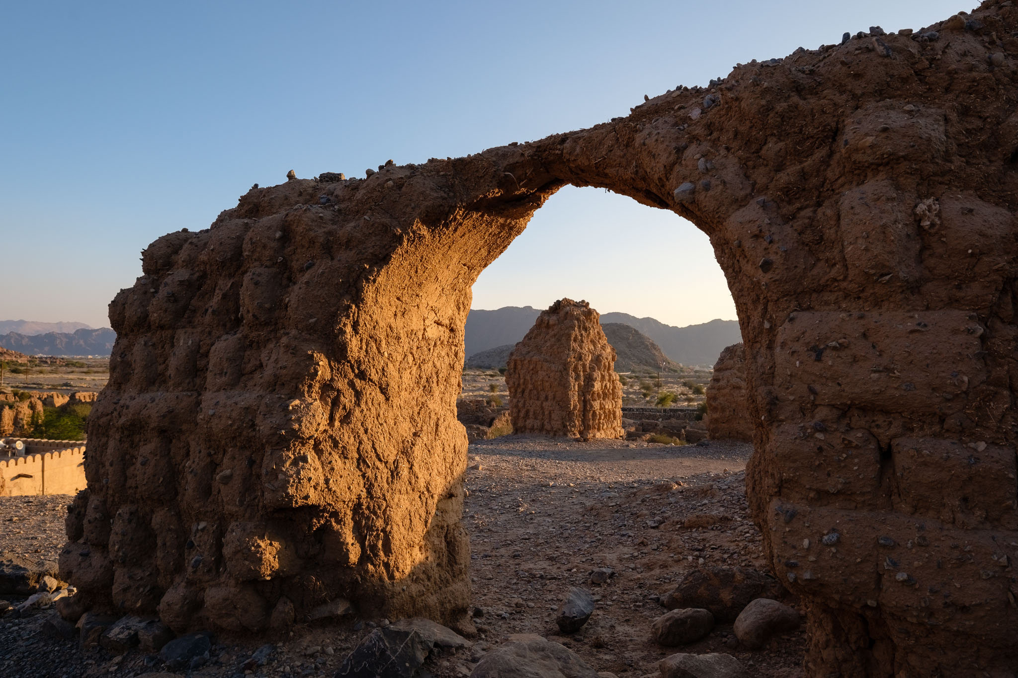
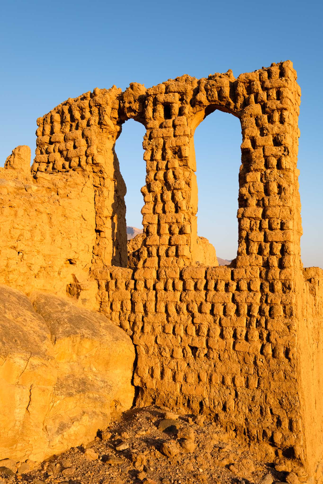
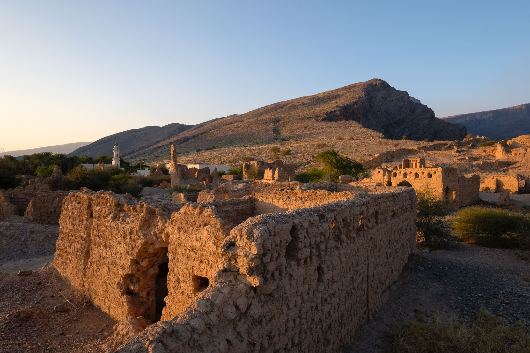
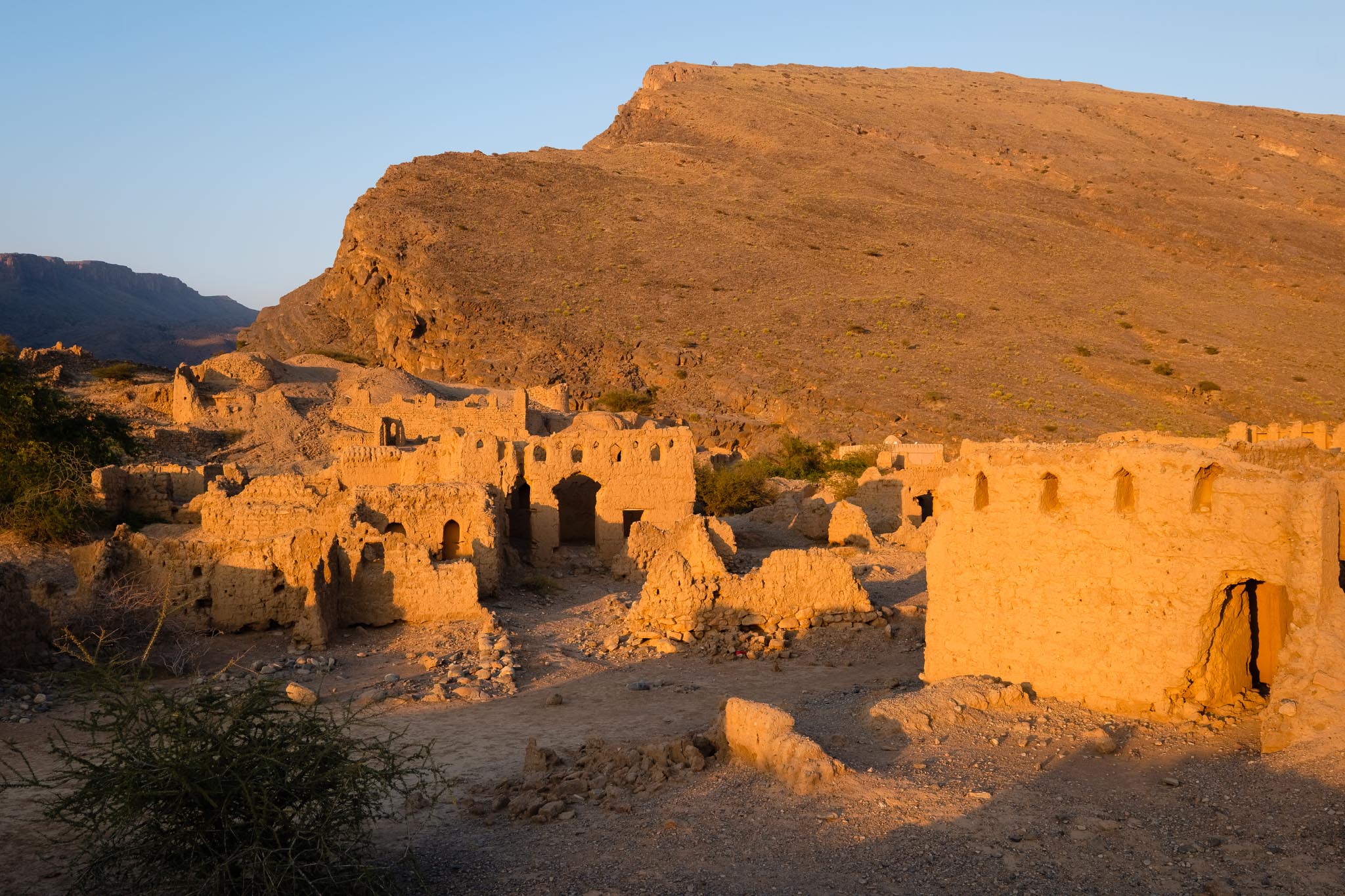
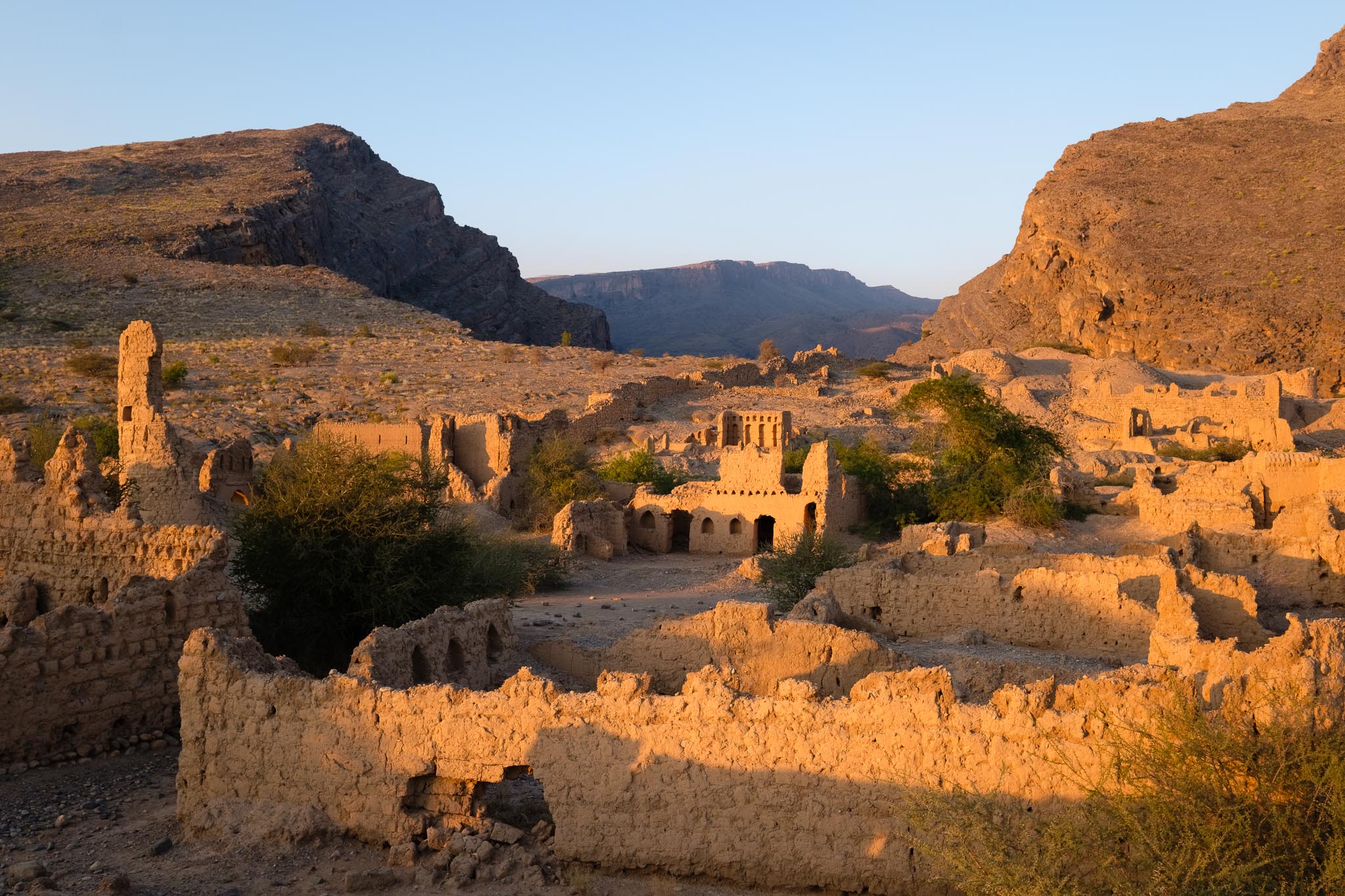
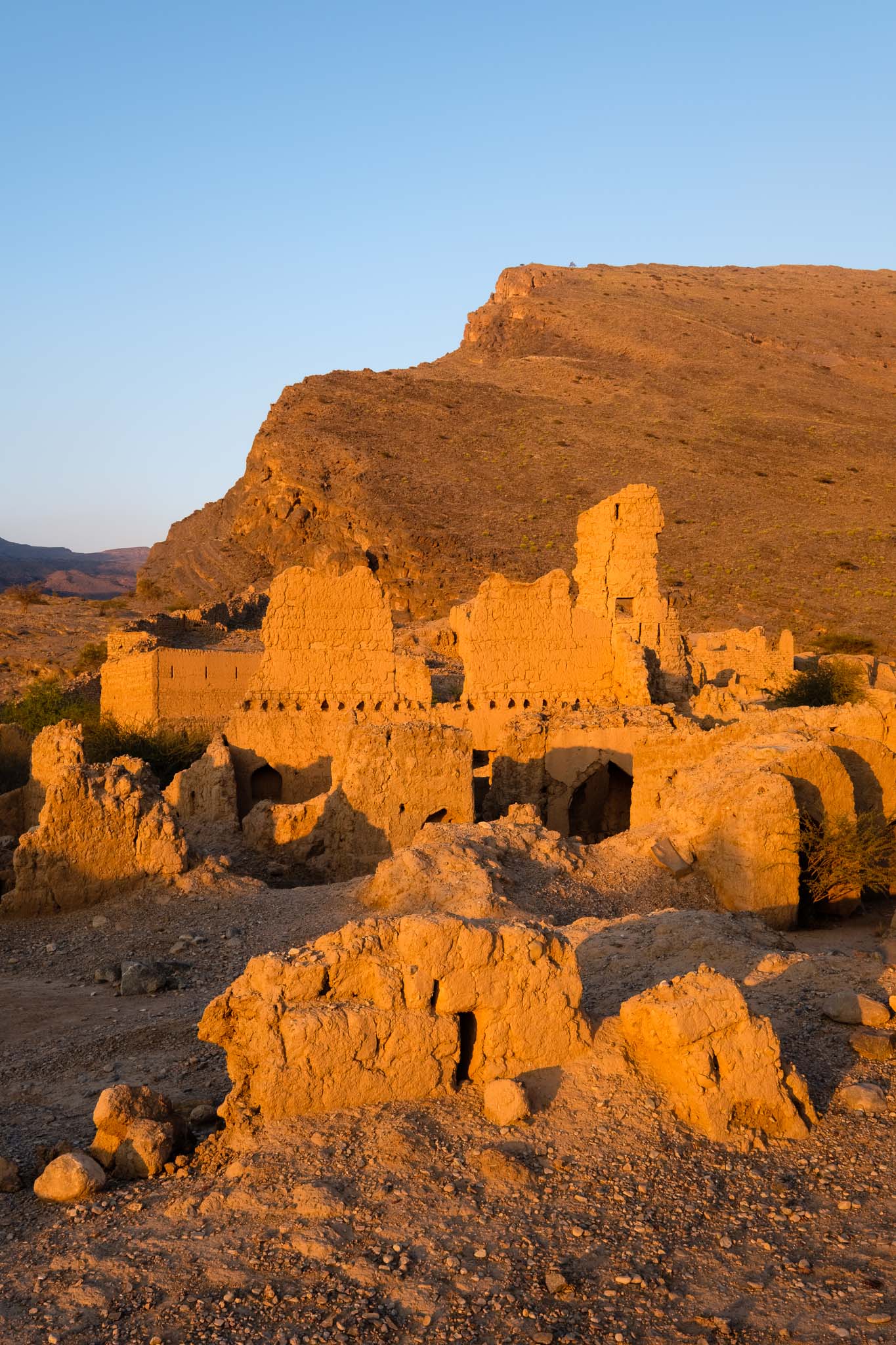
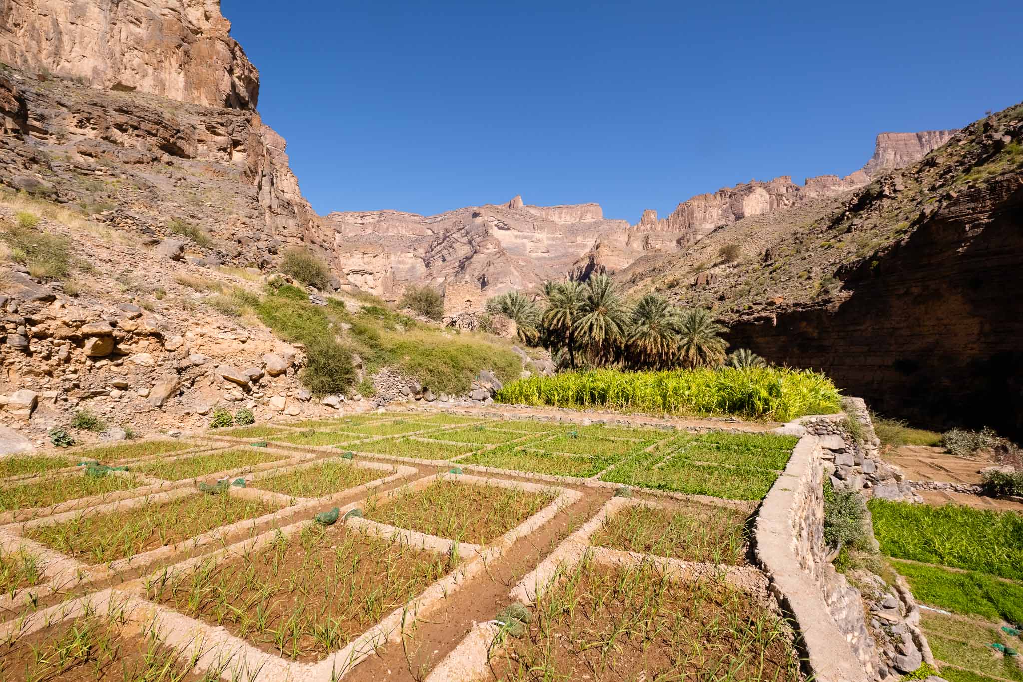
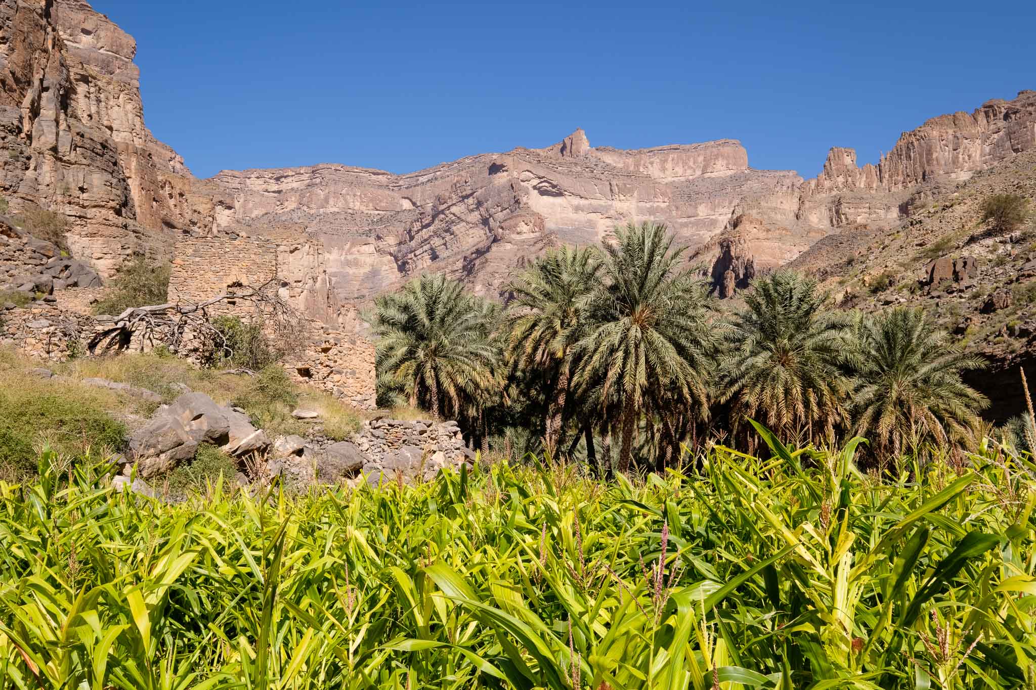
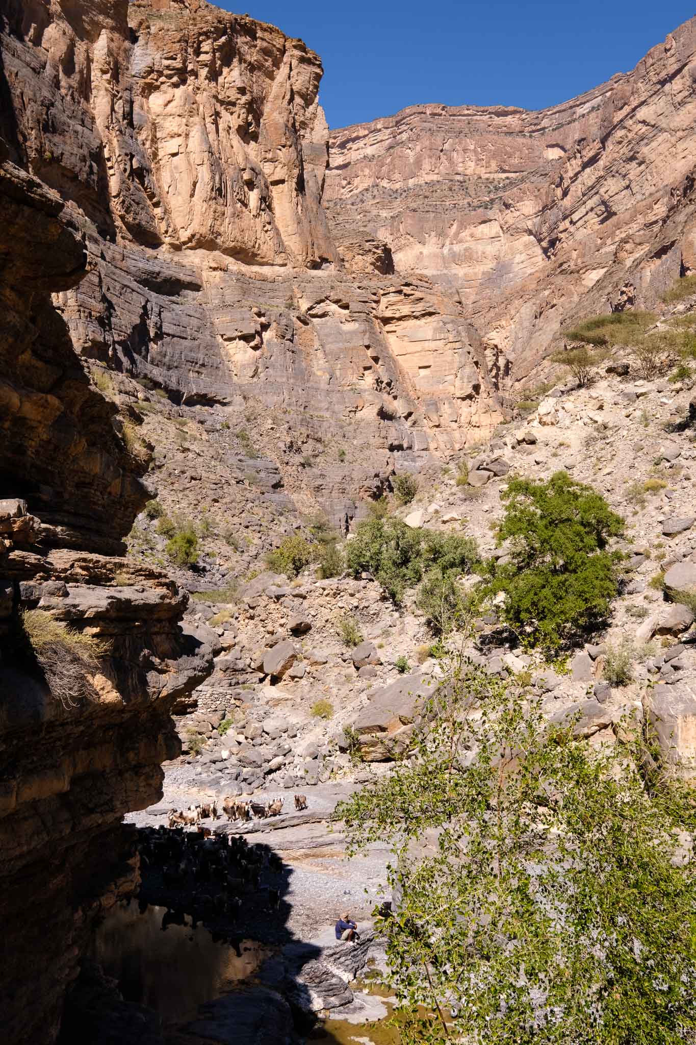
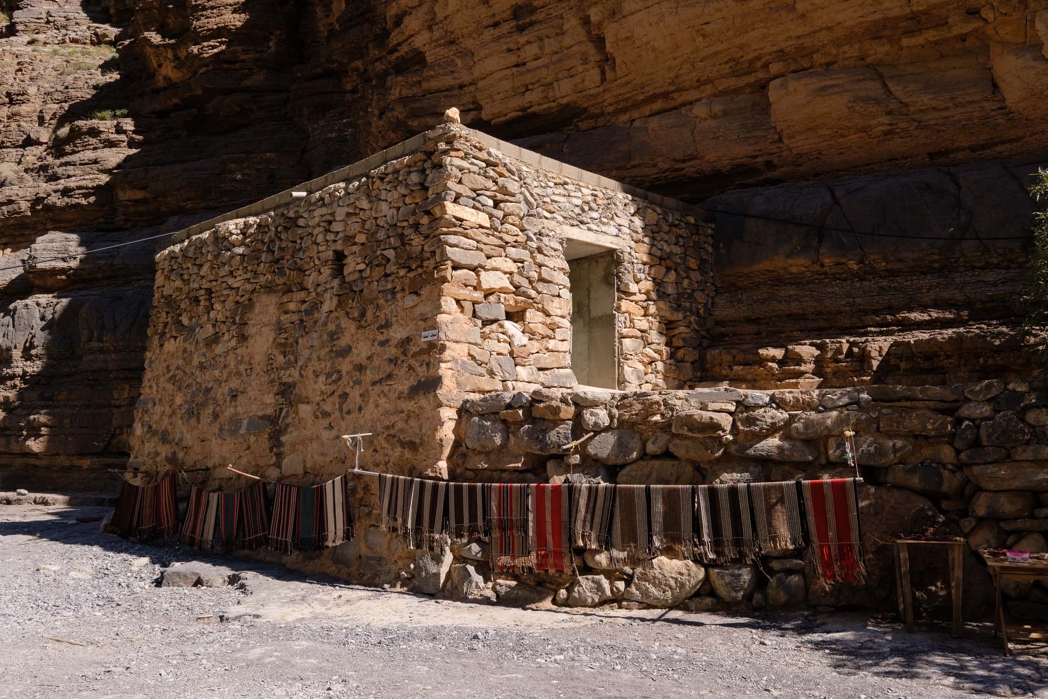
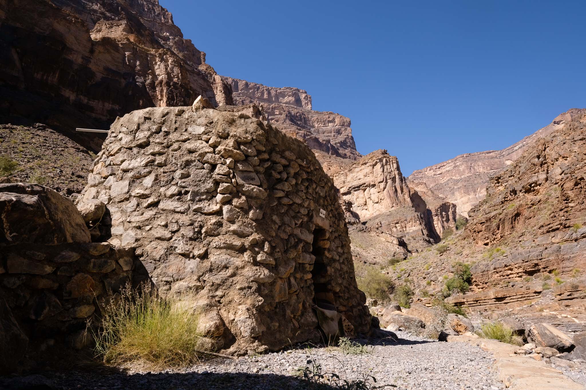
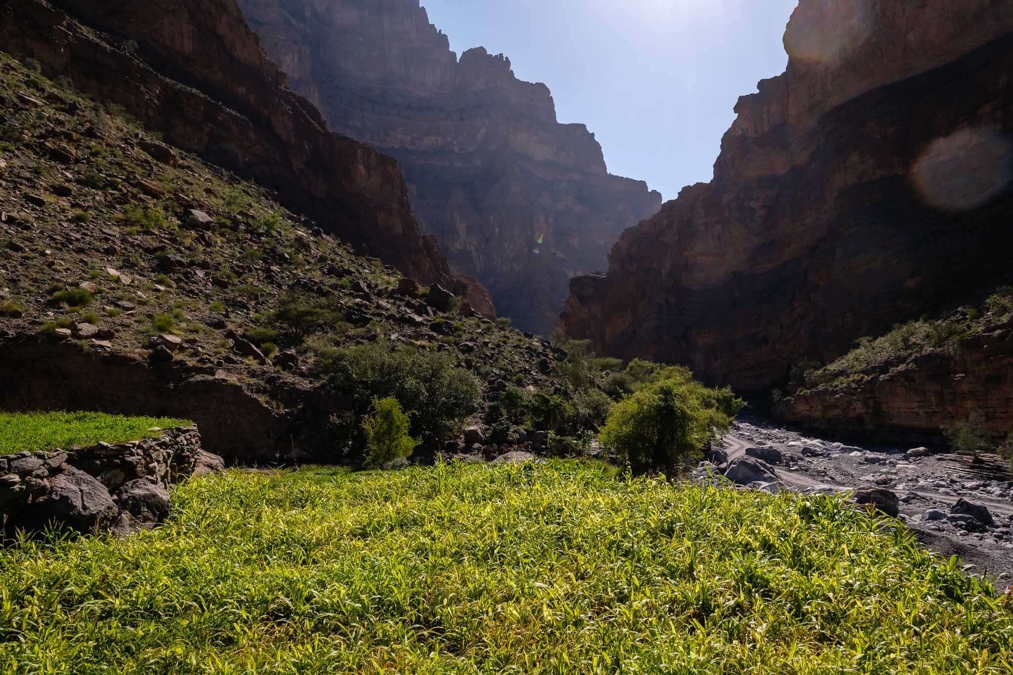
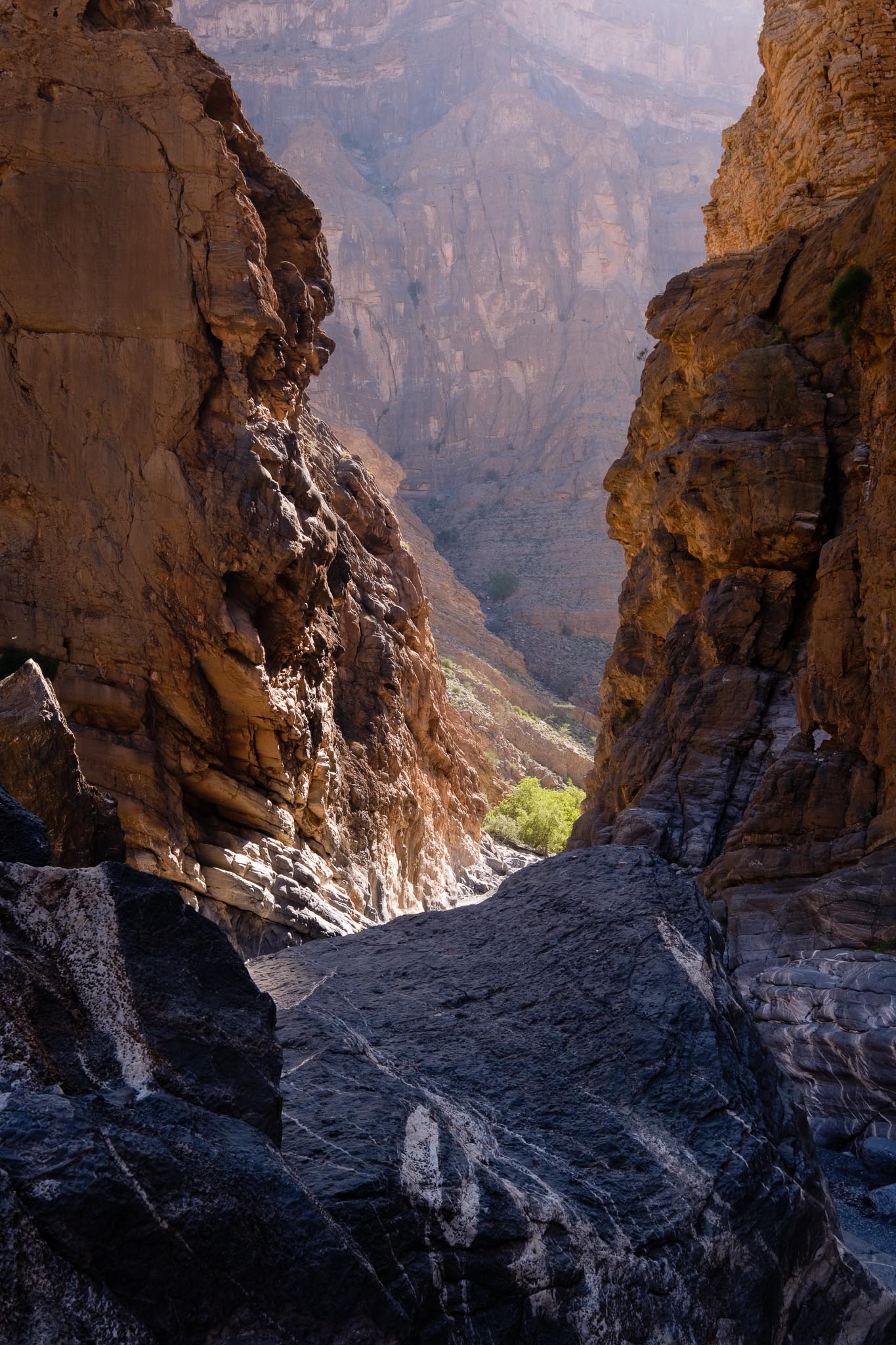
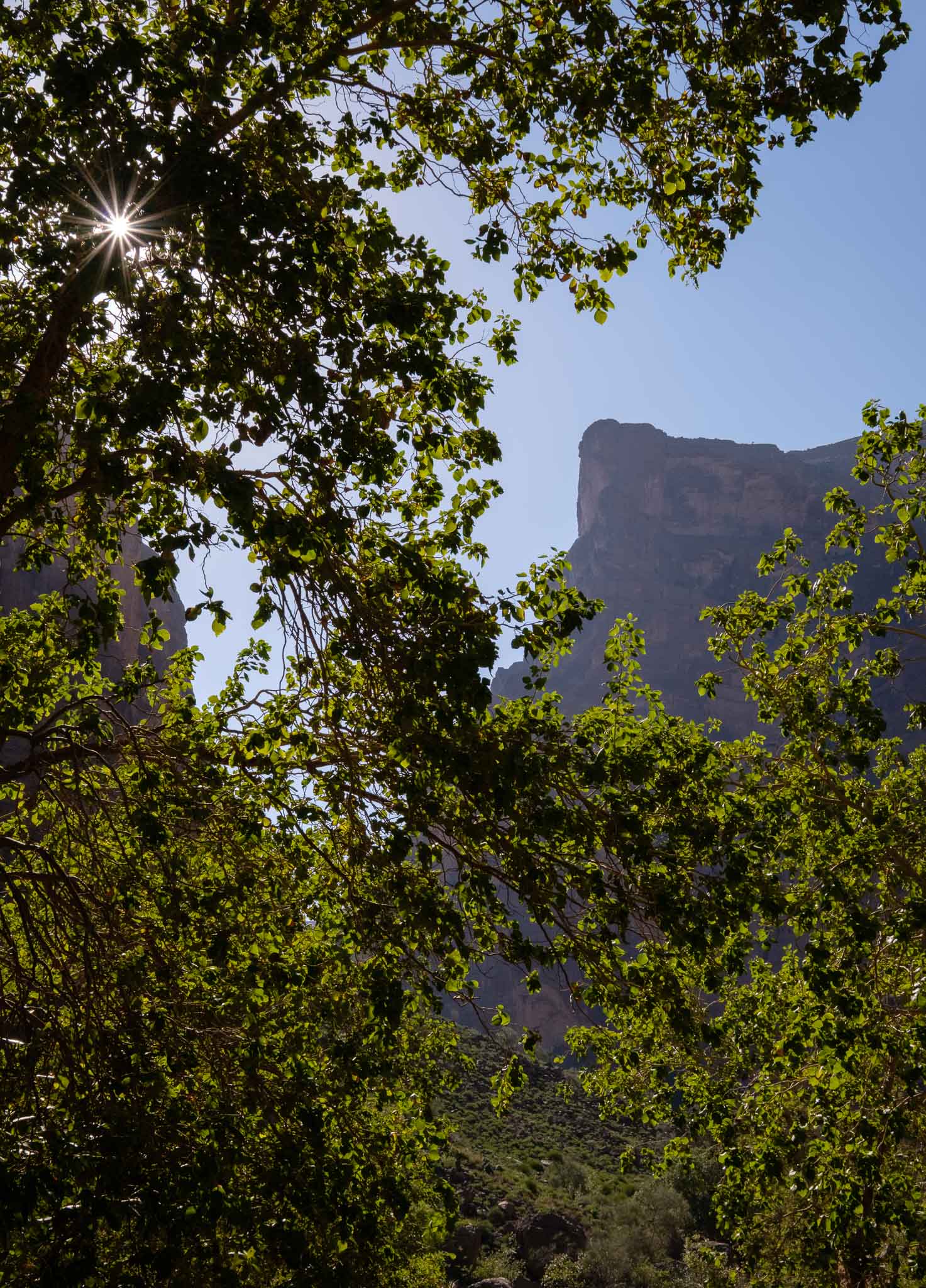
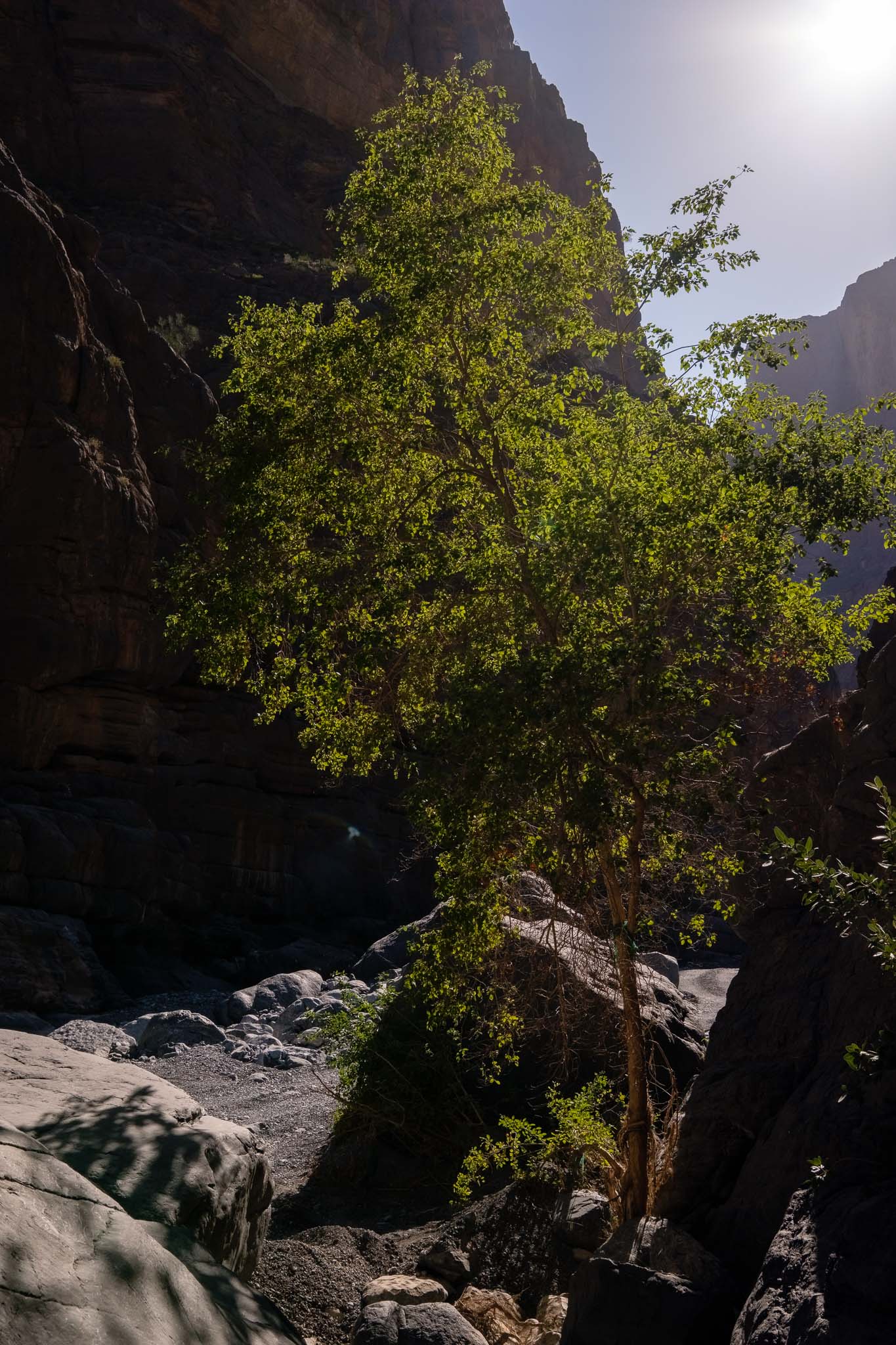
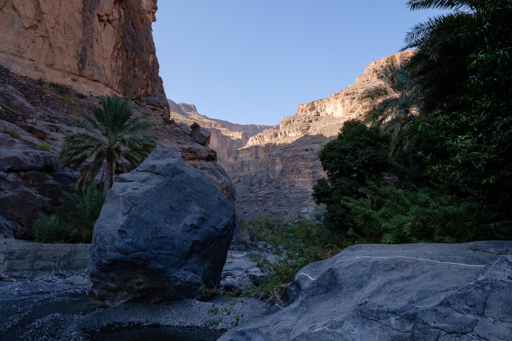
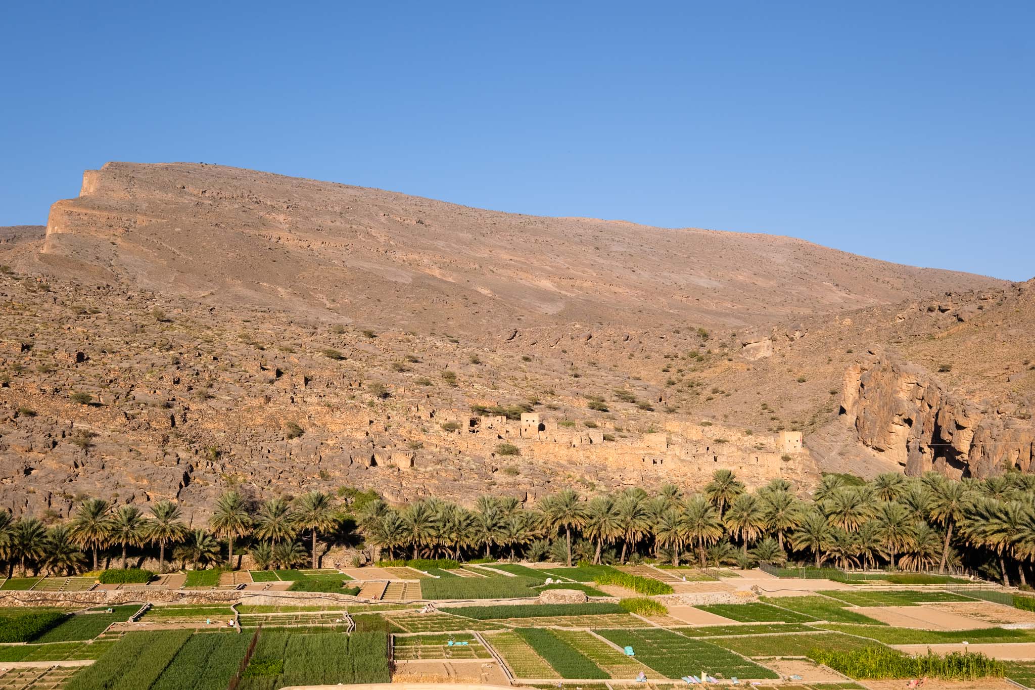
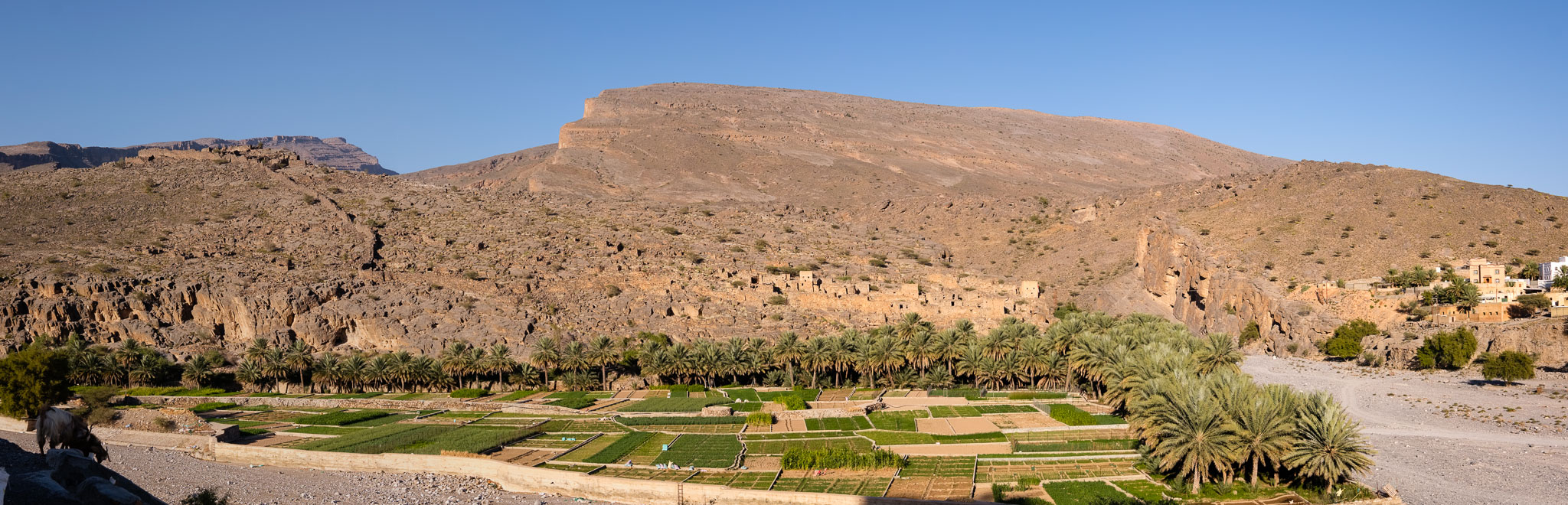
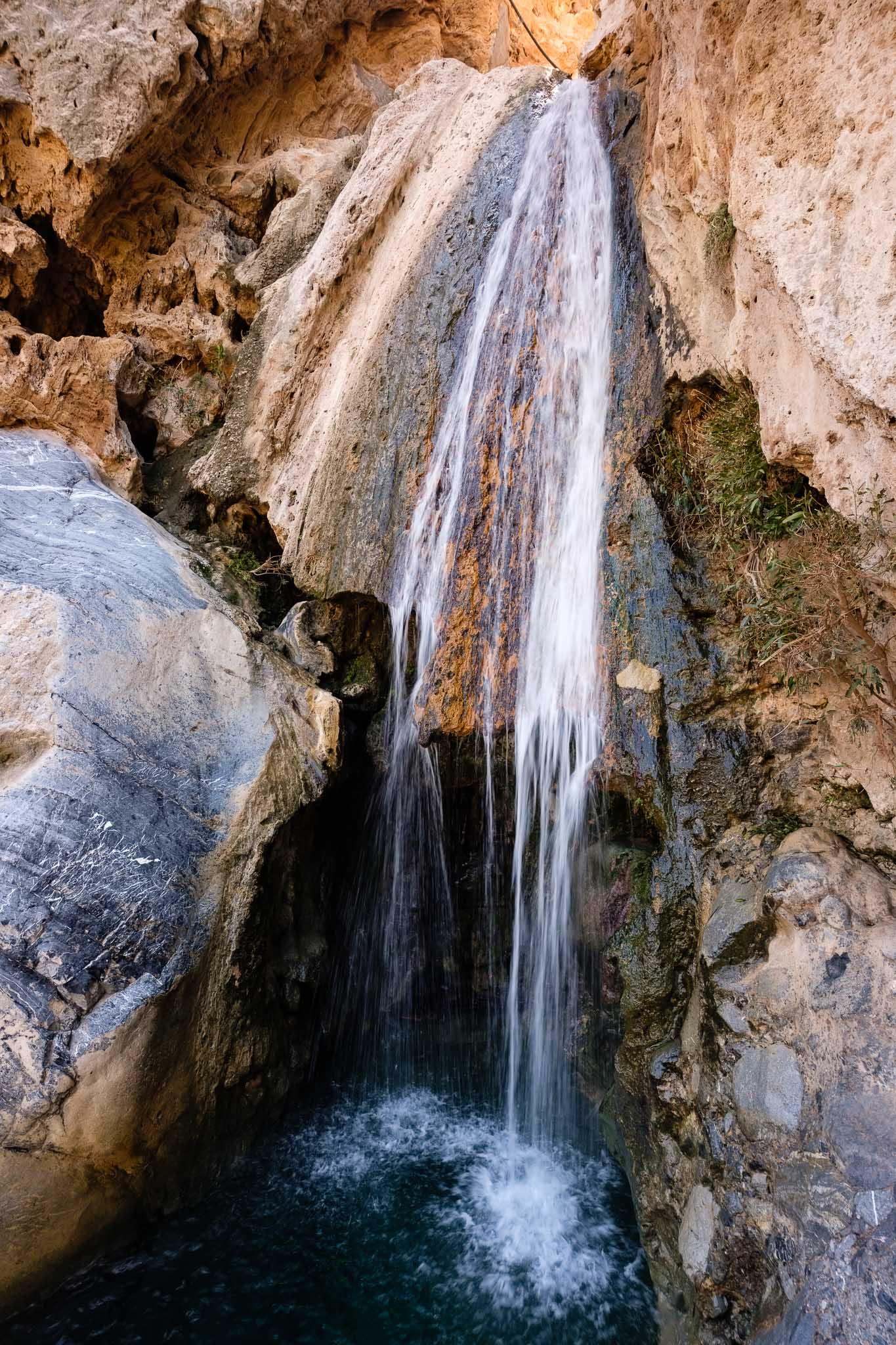
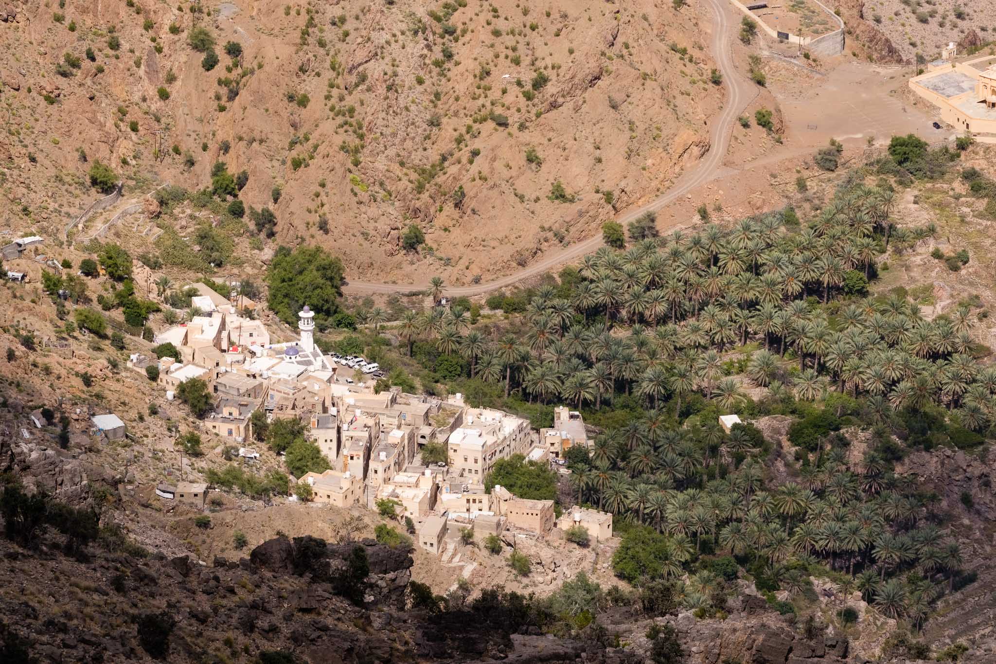
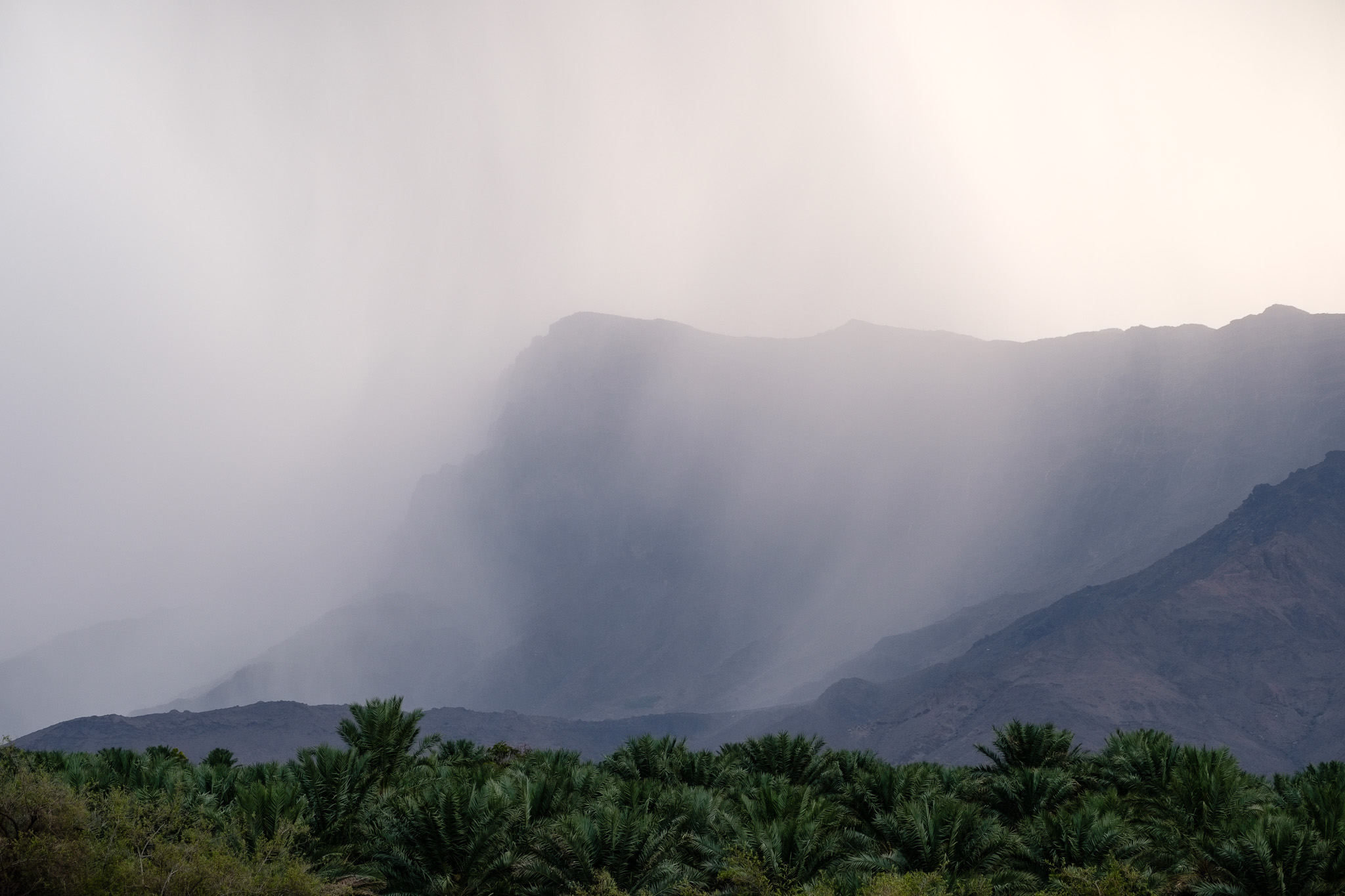
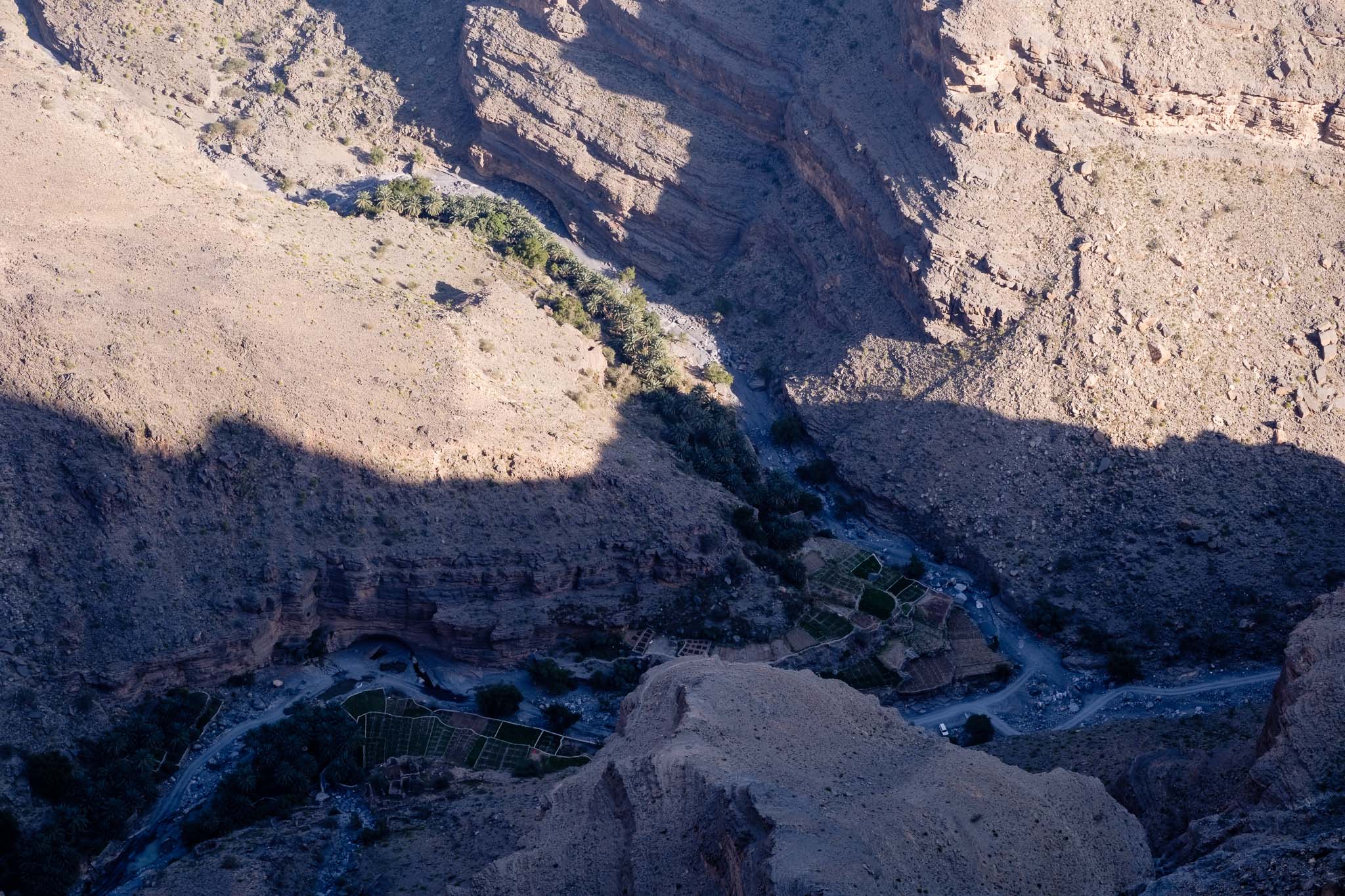
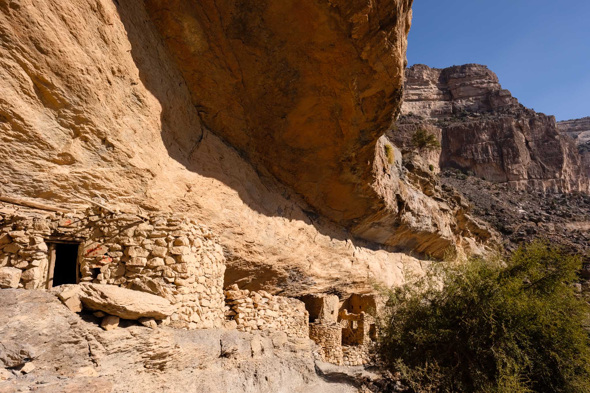
Continuing my walk, after a while I reached the abandoned houses of As Sab. These were built under a rock overhang, and one can only wonder at the skills of its inhabitants, who also built the nearby farming terraces. The sense of isolation is impressive. The terraces were built where the two sides of the canyon come together and seem to be literally hanging from the steep mountain face. Below them, an enormous erosion feature has carved what looks like a scar on the rock face. After reaching the terraces, I stopped for a rest under welcomed shade; even with the cold temperature, walking under the sunshine will make you warm. Normally, for most people, the trail will end here but is possible to walk a bit further to reach a secluded cave and lake. To get there, it is necessary to follow a path that climbs around a few boulders, and which is signaled only with some white paint markers. I reached the cave and the lake after about 10 minutes and rested under the shade for a while.

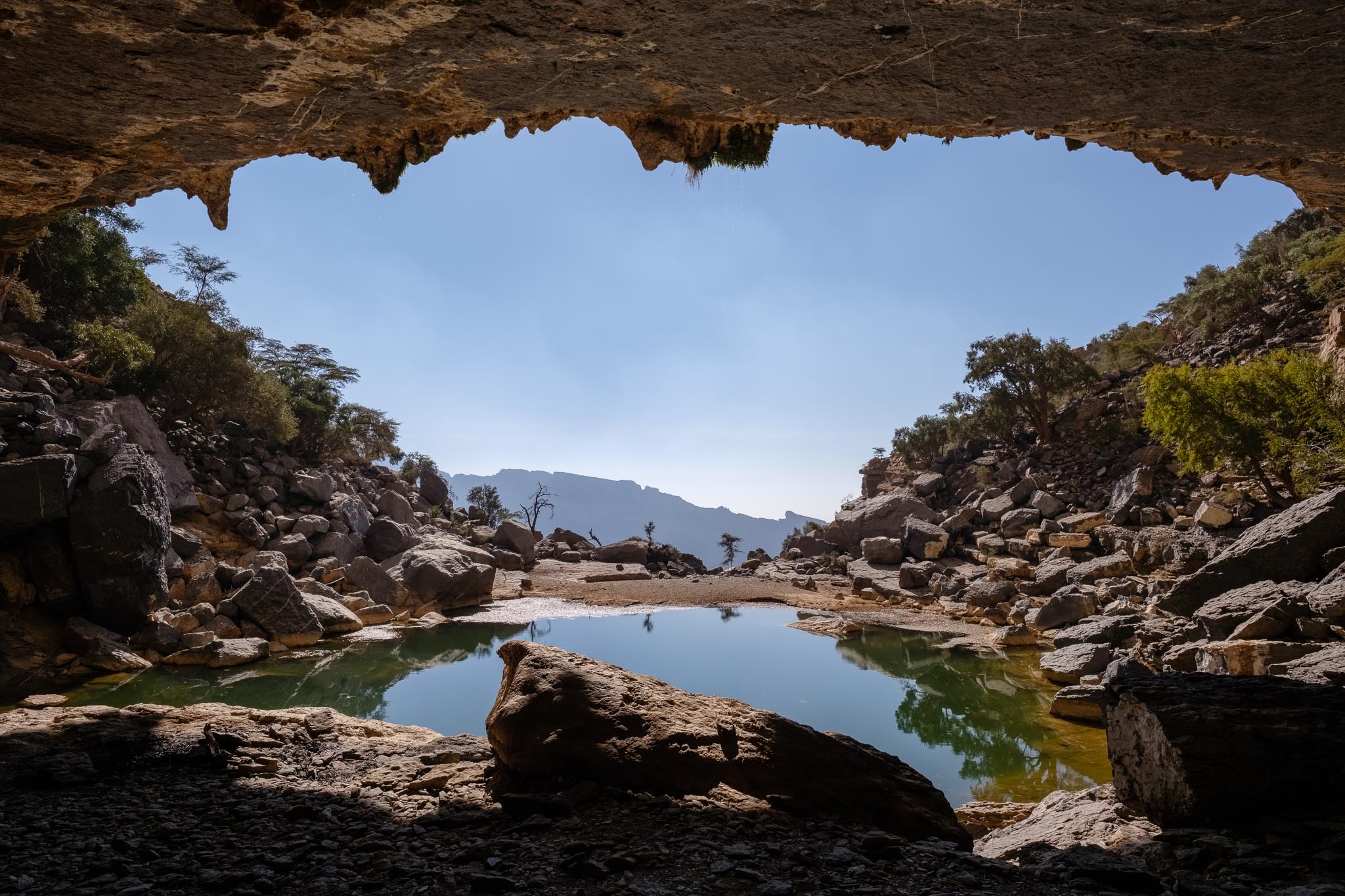
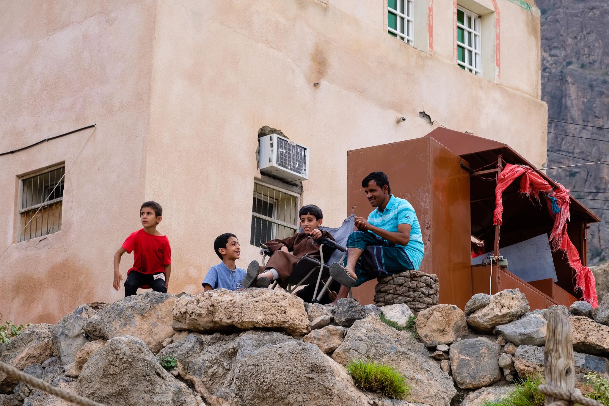
A group of Omanis from Hamra was already there, and they asked me to join them; this is typical Omani hospitality, and soon we were sharing our stories and food, including coffee, dates, and fruit. A welcomed and healthy snack after a 2-hour walk. It was nice to sit under the shade of the cave, looking outside into the lake and the mountain. There are even a few stalactites and stalagmites to admire. When it rains, a waterfall runs over the entrance, in what must be a wonderful sight.
It was time to return, so I made my way back to the trail. Now it was uphill all the way, but still with a gentle slope. I noticed the trail was busier at this mid-morning time, which is normal. After an uneventful trek, I was back at the village and my car. This had been a wonderful weekend in Jebel Shams. The magic of the mountain has not changed one bit in 20 years.