This small essay describes another wonderful trail that is part of the Rota Vicentina network in southwest Portugal. This time, I have walked route 17, a circular path that starts near the village of Carrascalinho, which is located close to the small towns of Maria Vinagre and Rogil. The walk is of moderate difficulty, mainly because it is 14 km long and crosses a hilly countryside that buttresses part of the Algarve mountain range. The following figure shows the location map.
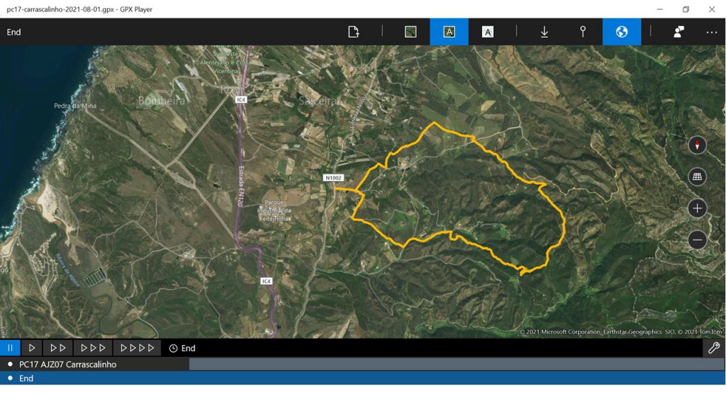
All the details can be found in the ensuing link.
https://rotavicentina.com/trilhos/carrascalinho/
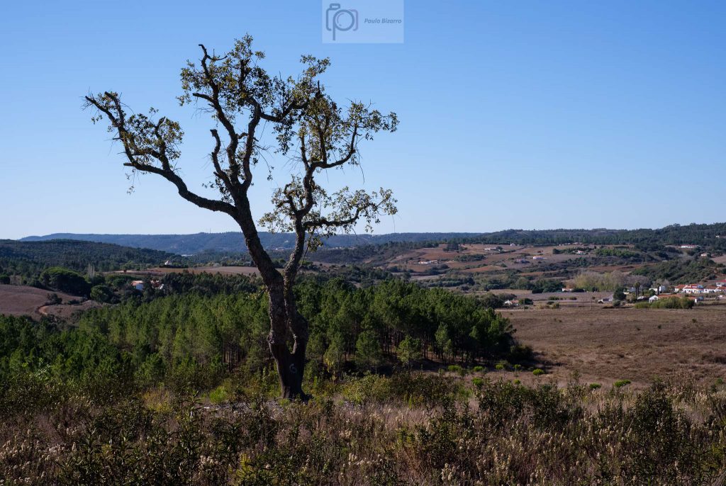
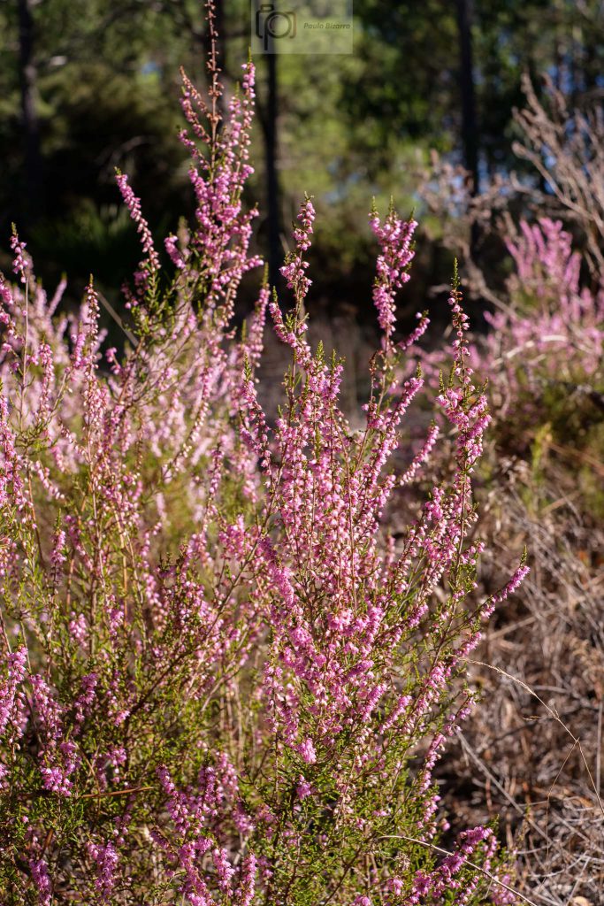
This route is already inside the Algarve province, which is normally associated with sunny weather and golden beaches. Here in the western coast, the beaches are sunny, but the influence of the Atlantic ocean is stronger, with stronger winds. It was my first time walking this route, and what attracted me was that its path goes through the interior of the region, touching the mountain range of the Algarve. This is probably one of the most less-populated areas of Portugal, where some remnants of the Mediterranean flora still resists against the onslaught of the intensive eucalyptus growth. There are large areas of cork oak trees, pine trees, heather, and arbutus. Some of these cultivations are essential to the local economy, to produce the famous honey (from heather and arbutus) and the arbutus brandy. As usual, I carry a minimum amount of photo gear. This time I decided to take along only the Fujifilm X-Pro3 with the 35mm lens. A standard lens is a good choice for general photography.
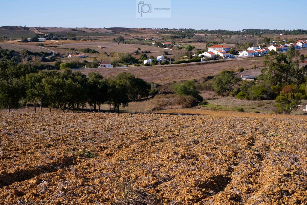
The initial part of the route crosses some farmland, followed by a large pine tree forest.
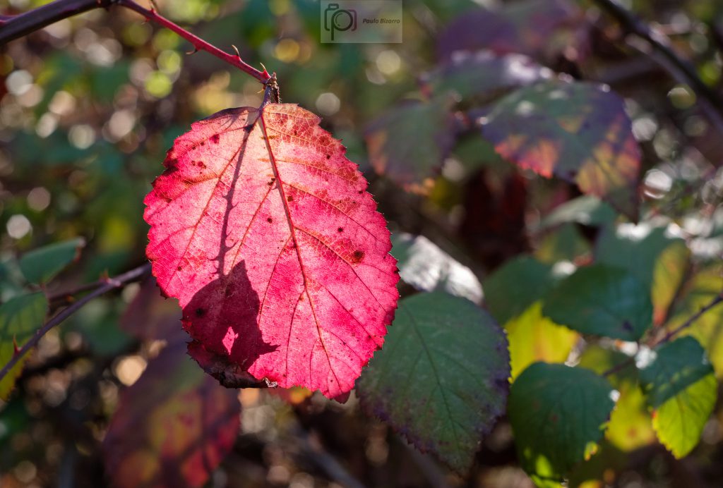
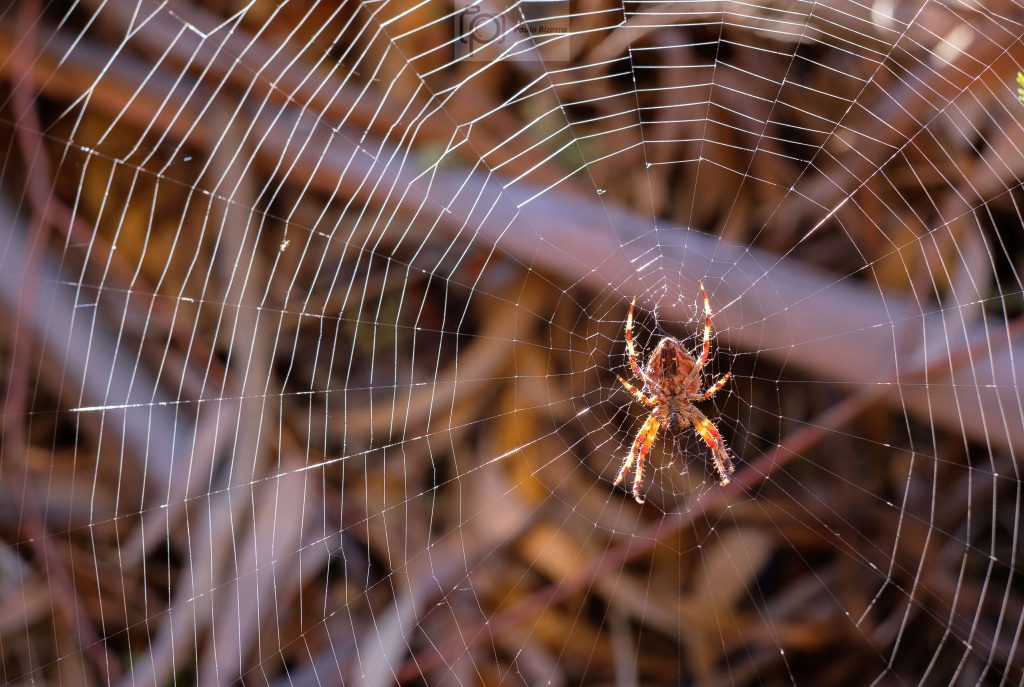
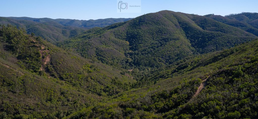
After a few kilometres, the terrain becomes more rugged, as it approaches the mountains. The weather is very nice, with a slight breeze and a deep blue sky. Along the way, it is possible to spot some Autumn colour, and even a spider waiting for its next meal.
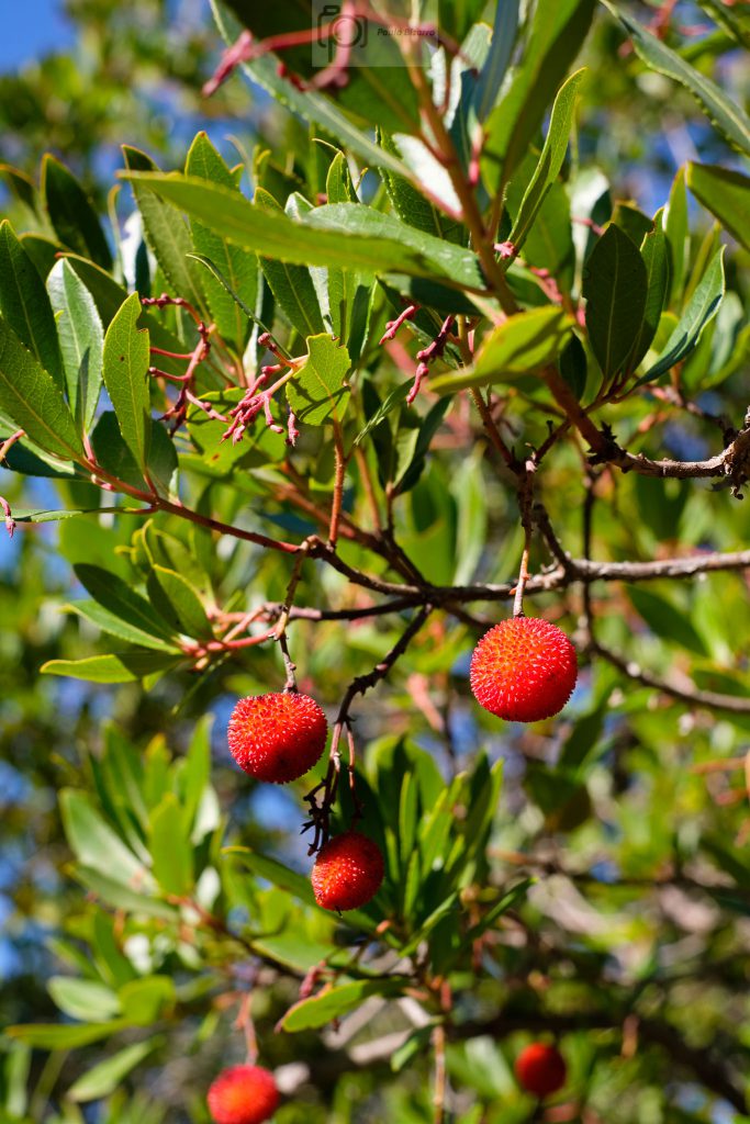
The arbutus shrubs become more abundant, and this time of the year the fruits are ripe, displaying their typical orange and red colours. This fruit is very important for the local farmers, especially for making brandy, which fetches high prices.
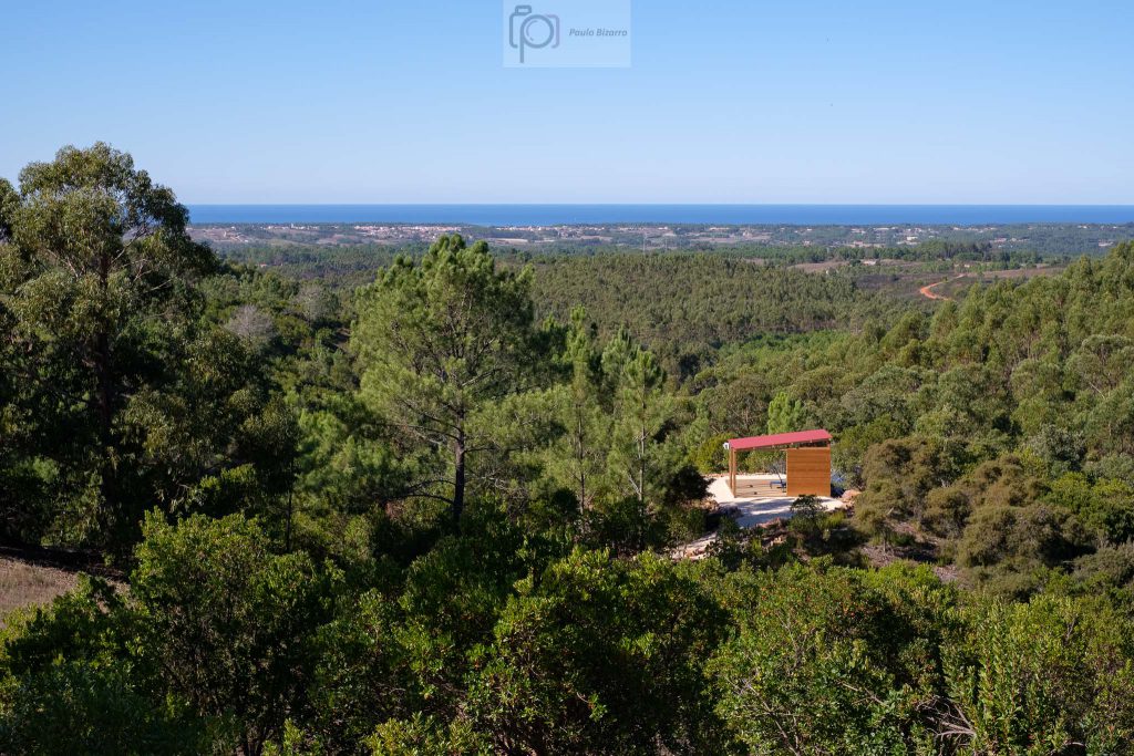
The highest point along the way affords a panoramic view over the entire region. To the west, there lies the ocean, whereas the rest of the view is dominated by the rugged mountains that are covered in green. This is a nice spot to rest and have a picnic lunch.
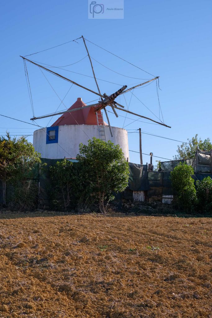
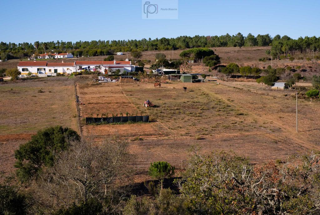
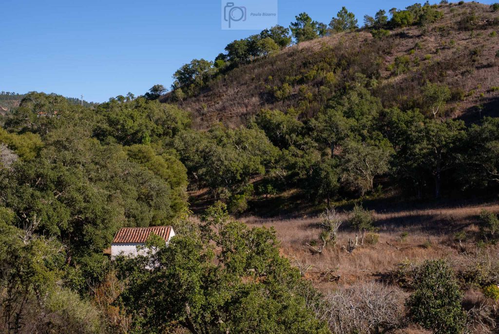
From this high vantage point, the rest of the trail starts to descend, crossing a few isolated settlements and farms. The silence is pervasive, being only disturbed by the wind and the occasional bird song. Thus far, I have not seen any other person.
This part of the walk is easy, and soon our starting point is visible again. This was another wonderful route, that crosses a beautiful region that is often disregarded in favour of the more popular coastal area. Even though it lies a mere stone throw’s away from it.