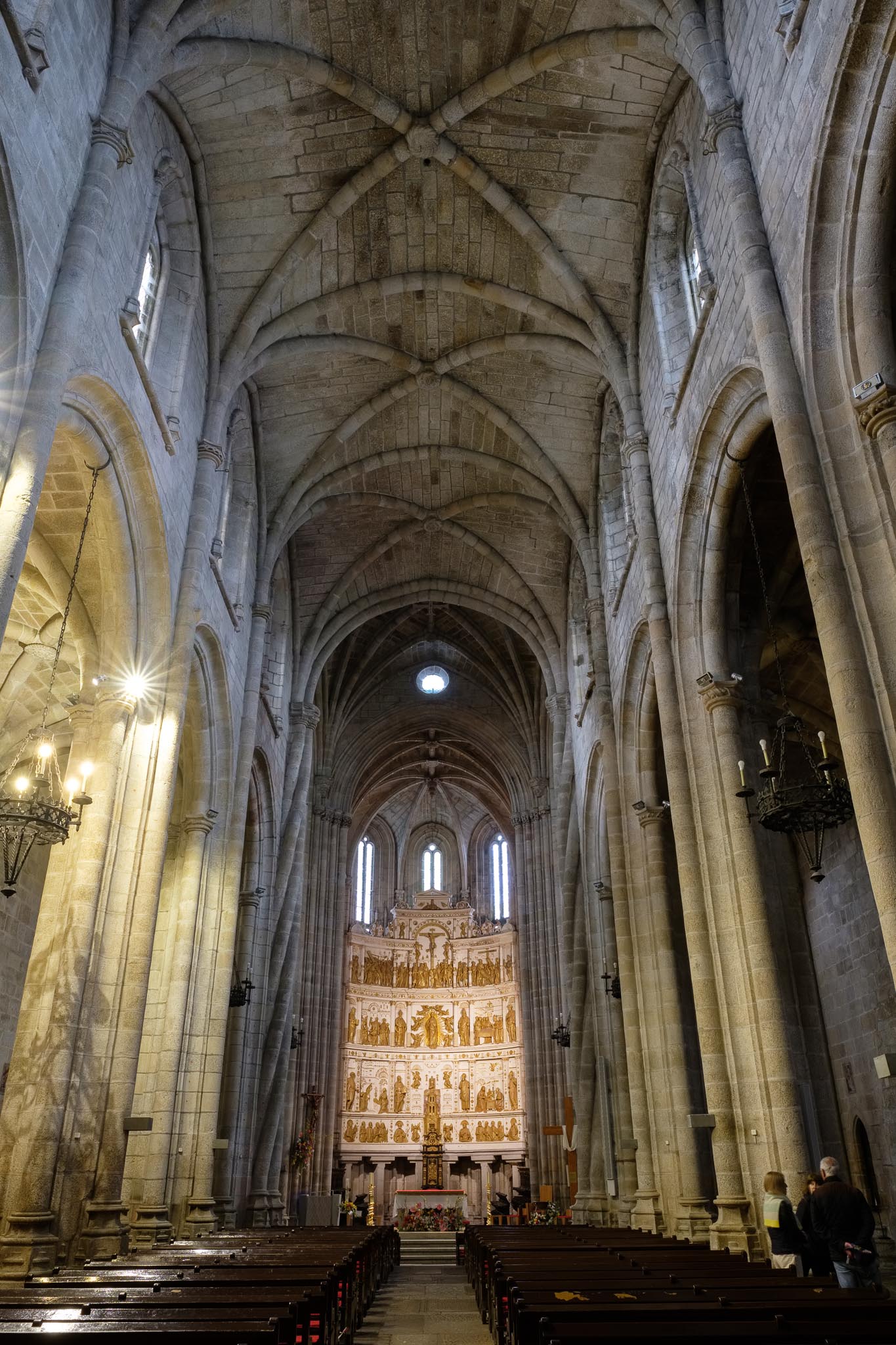
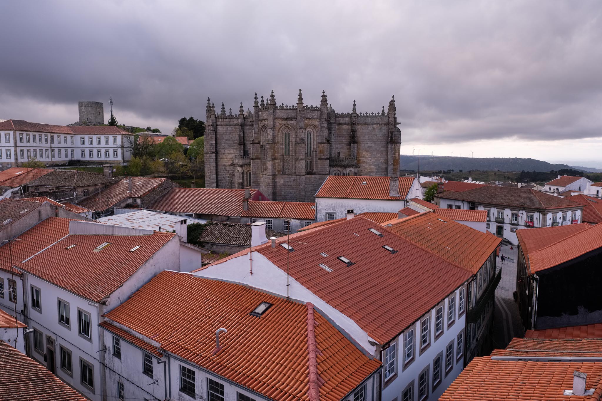
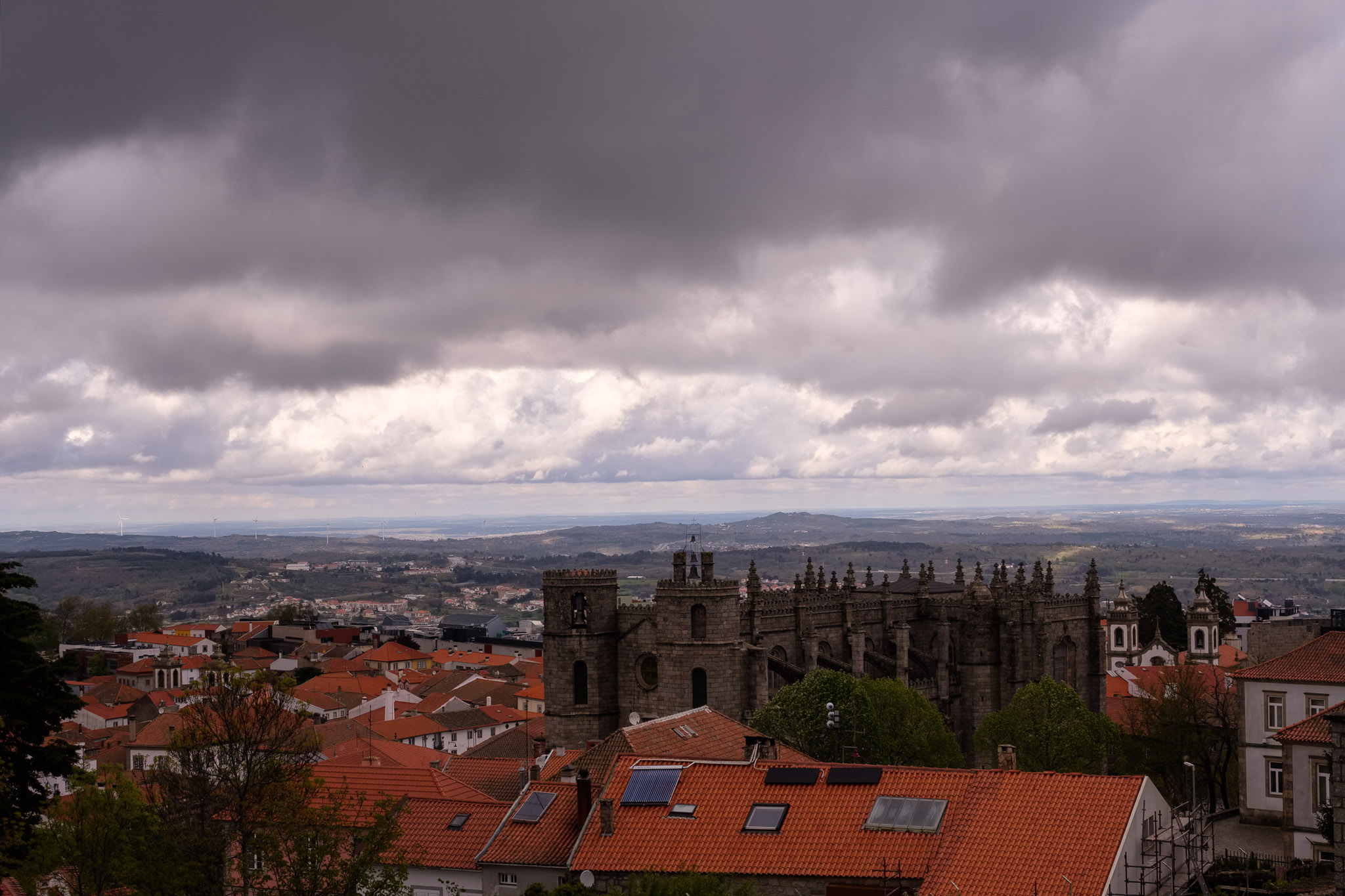
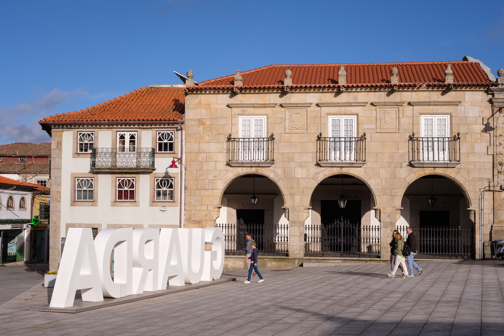
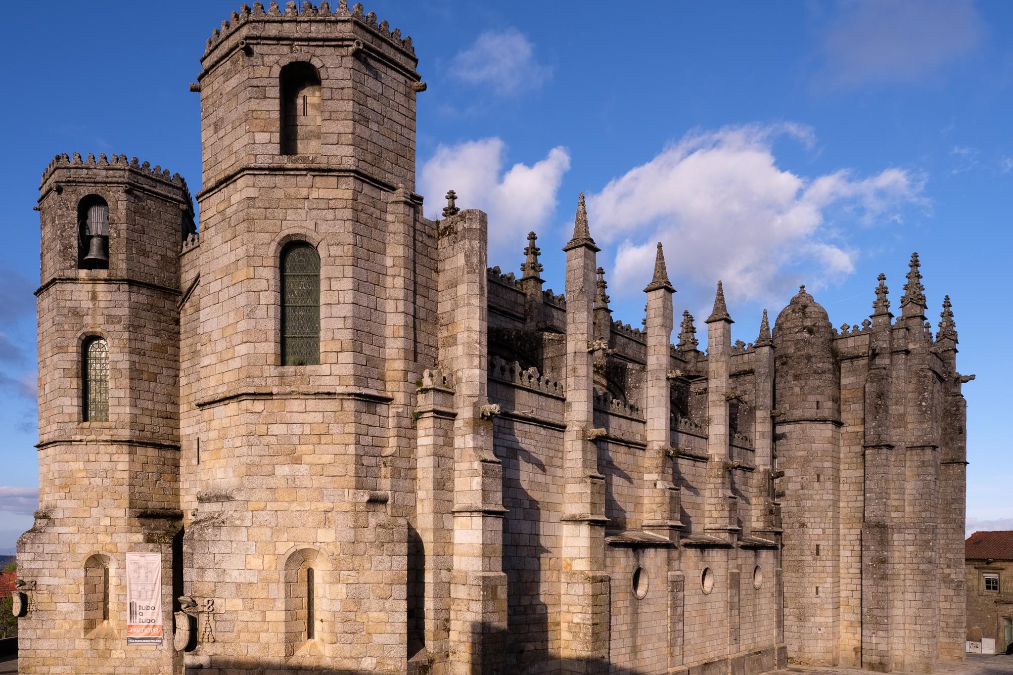
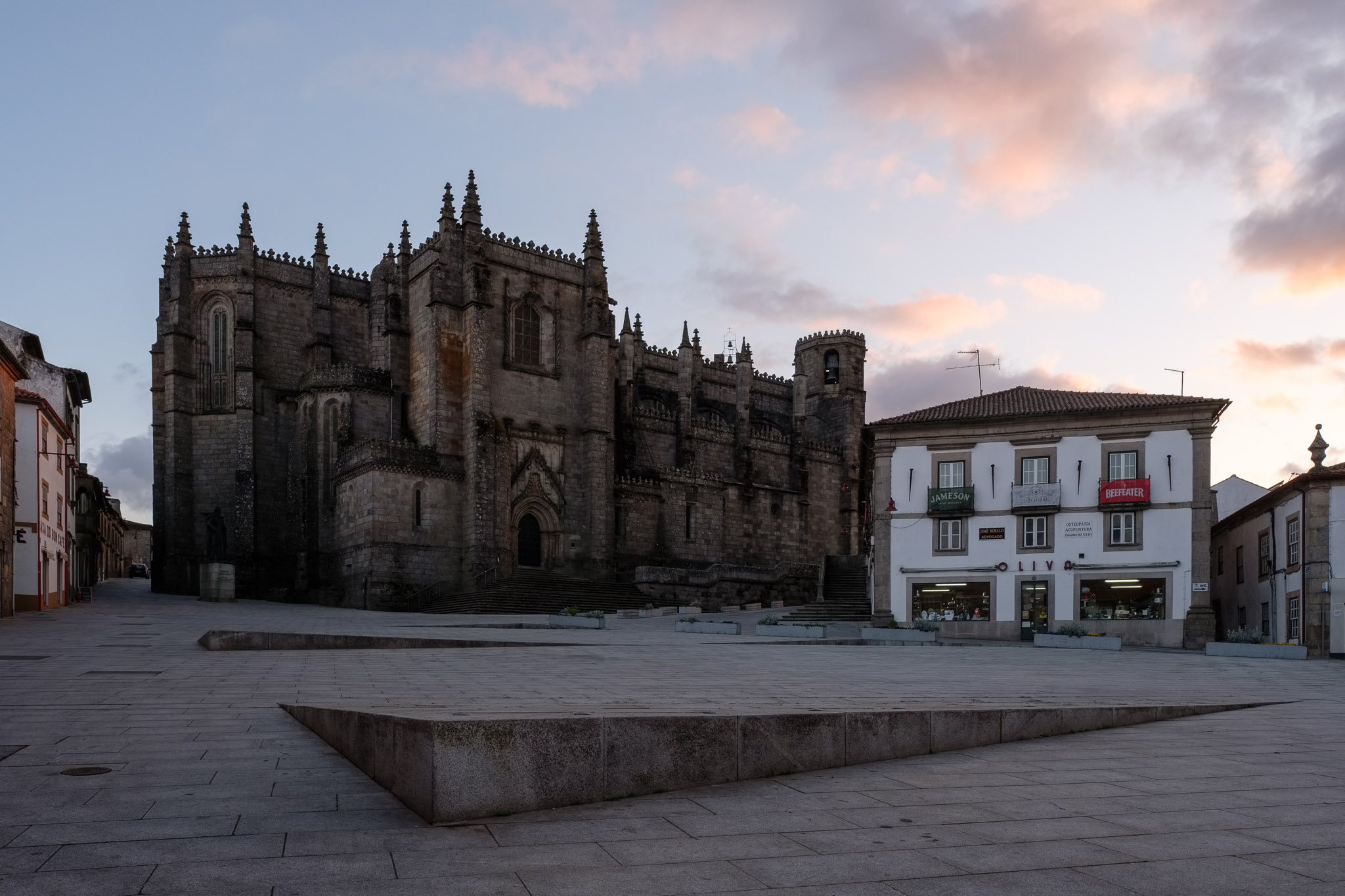
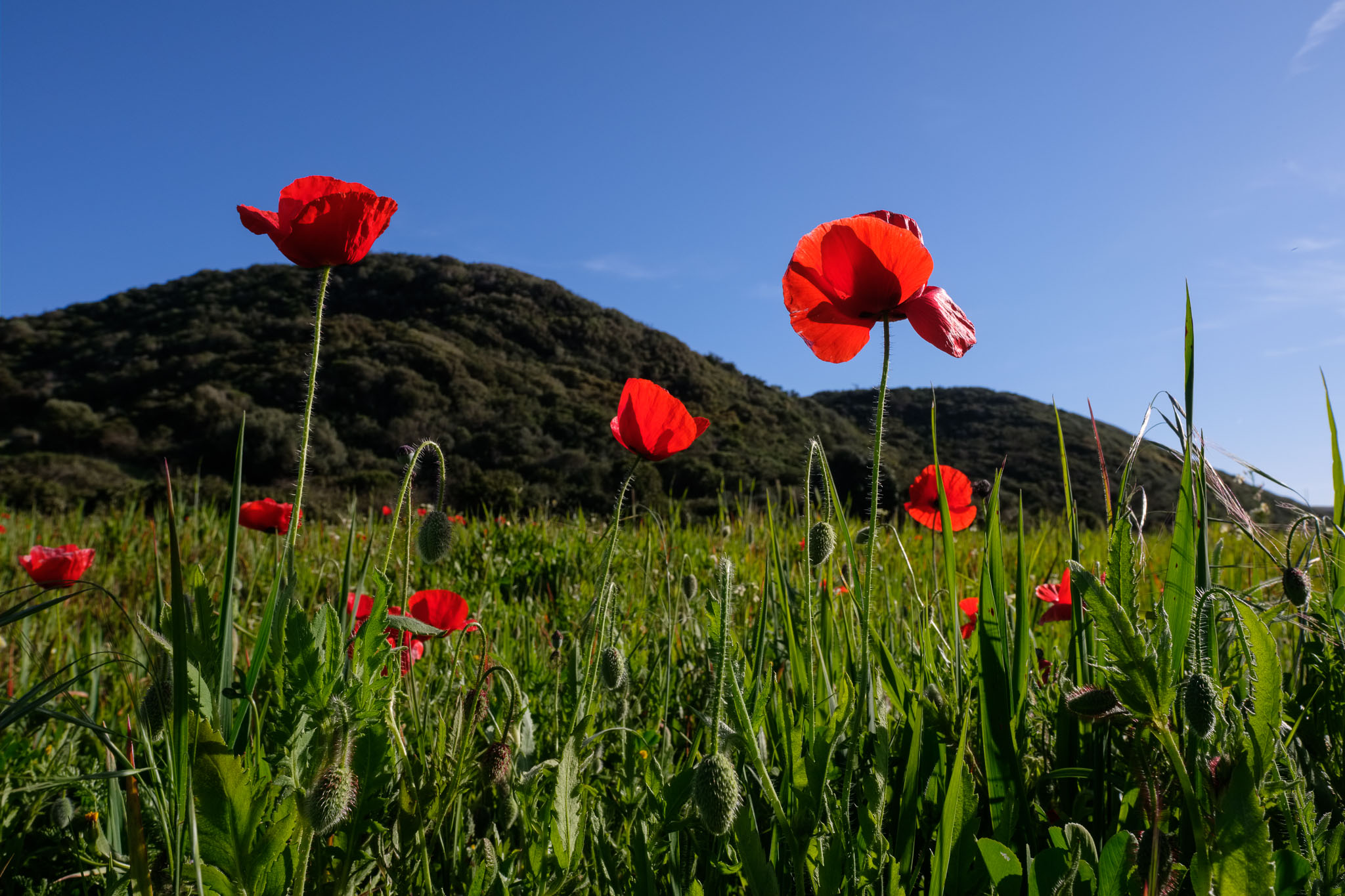
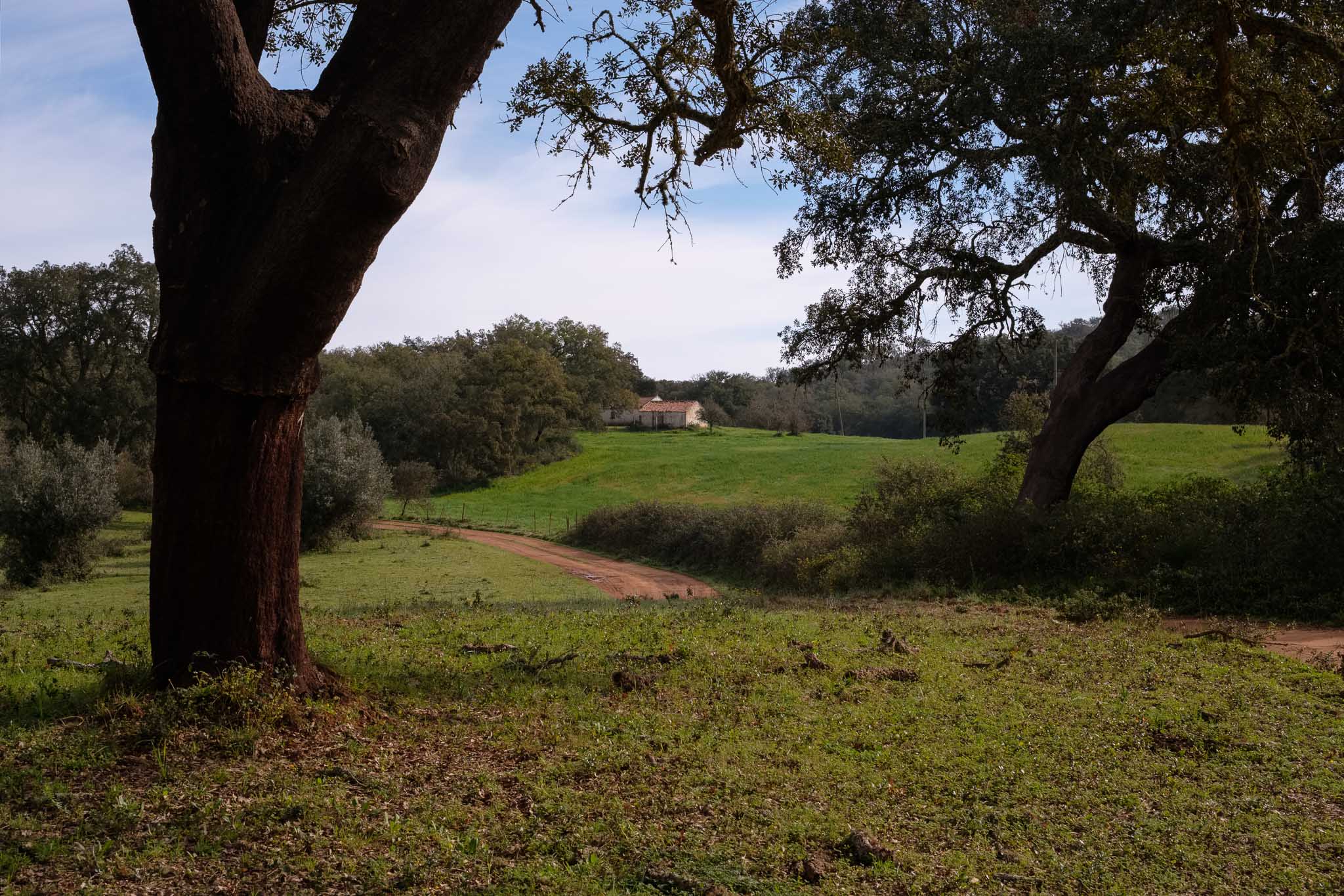
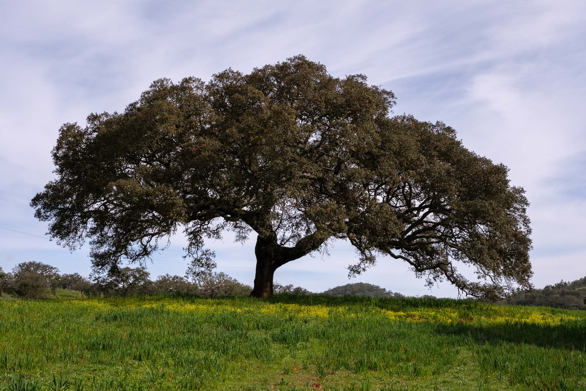
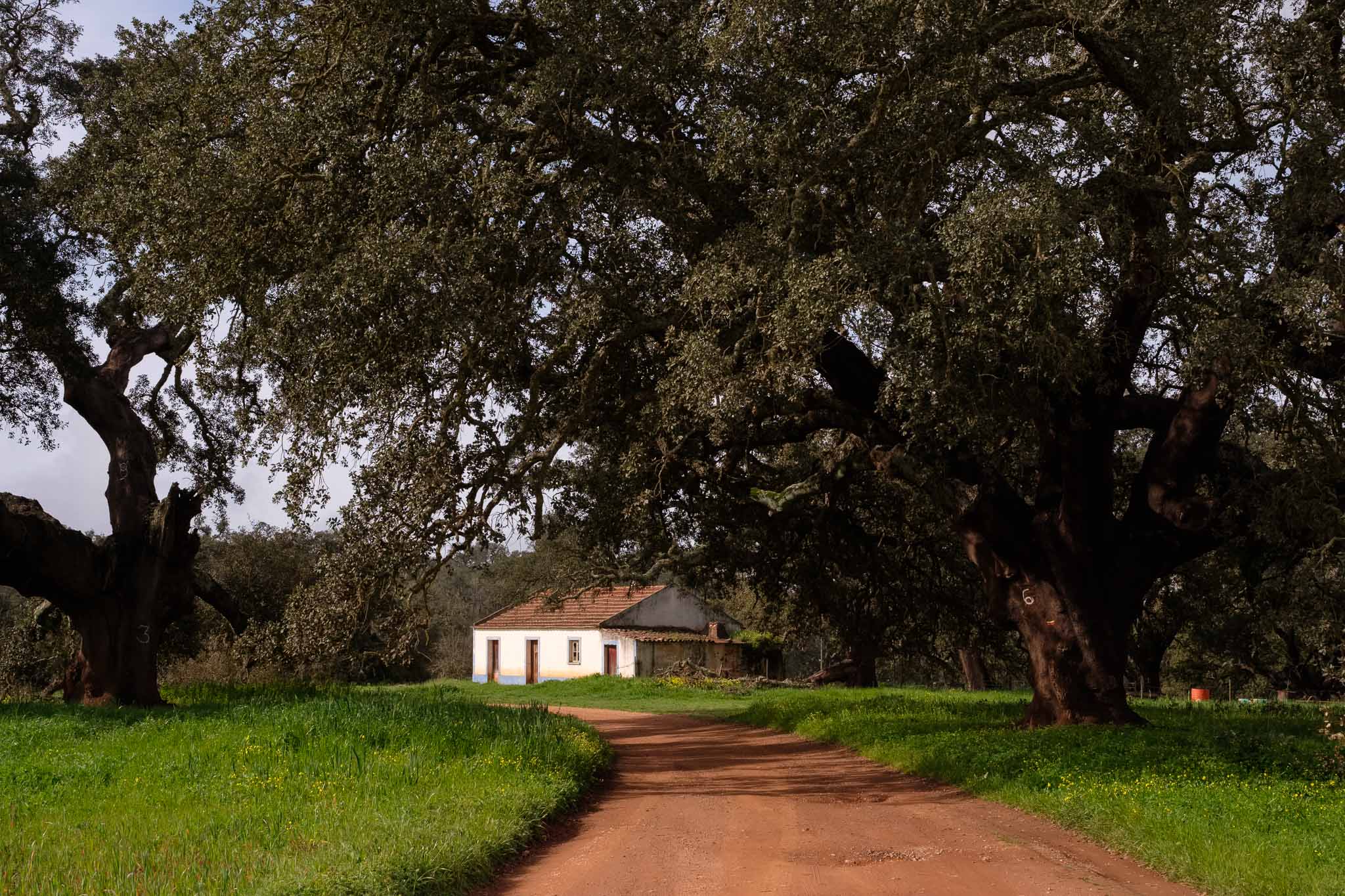
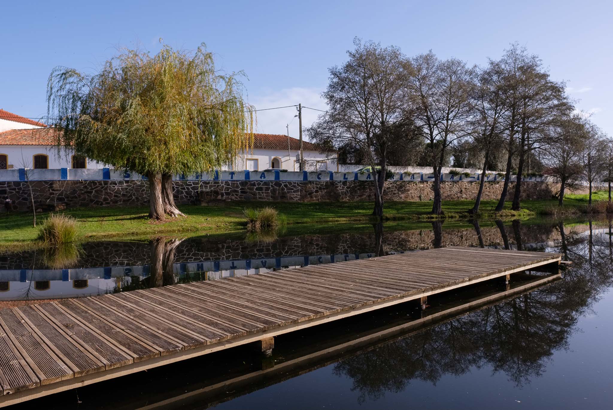
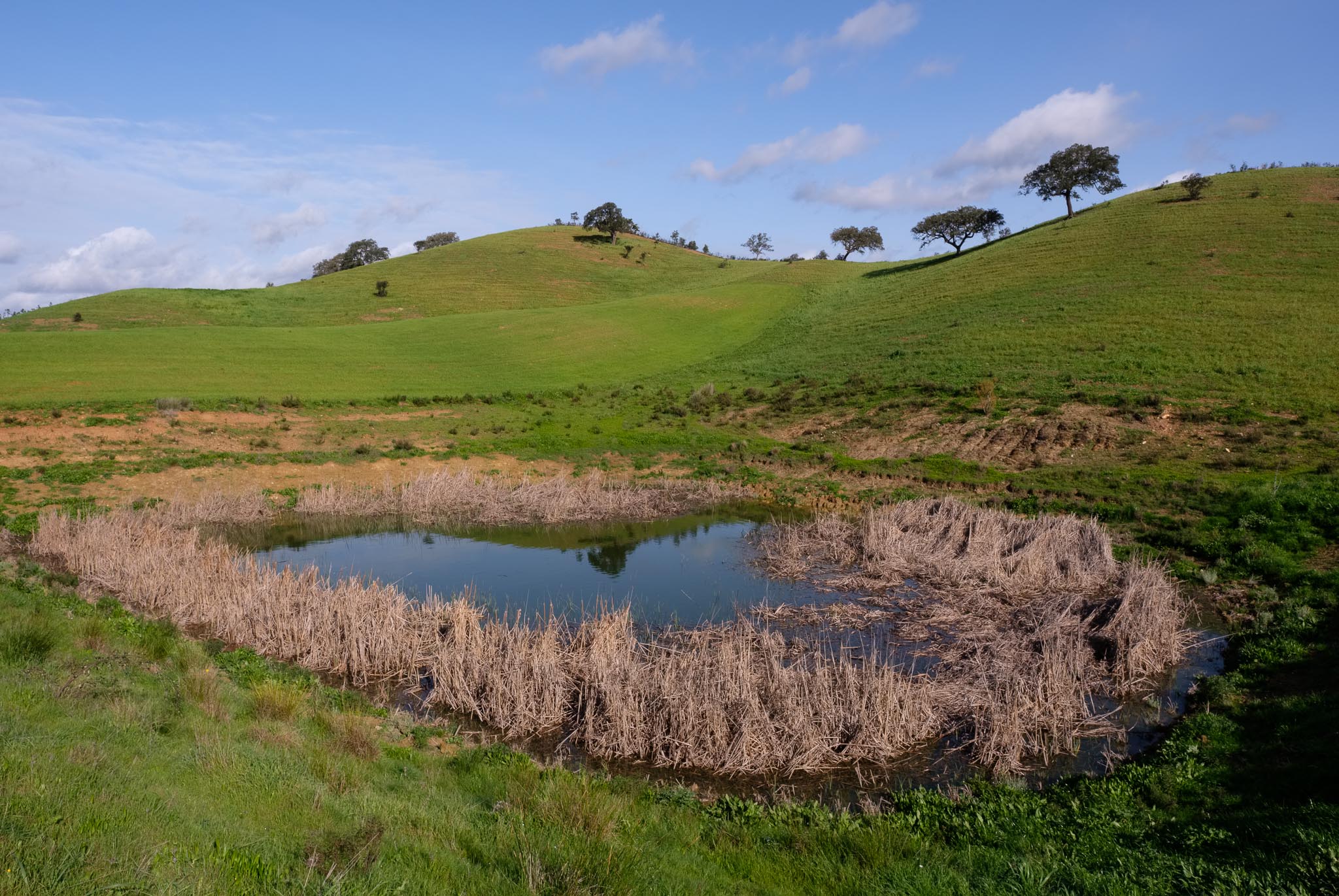
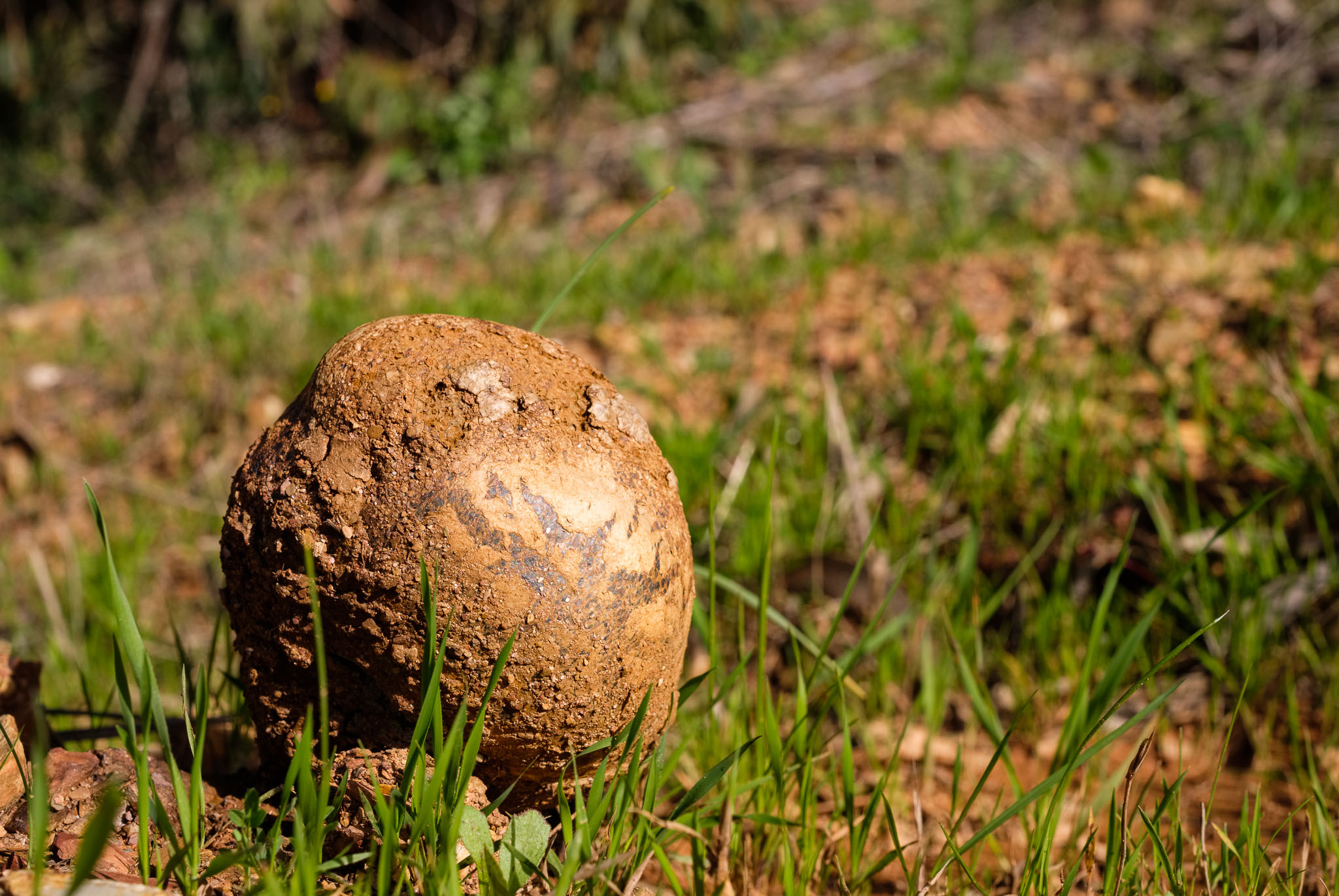
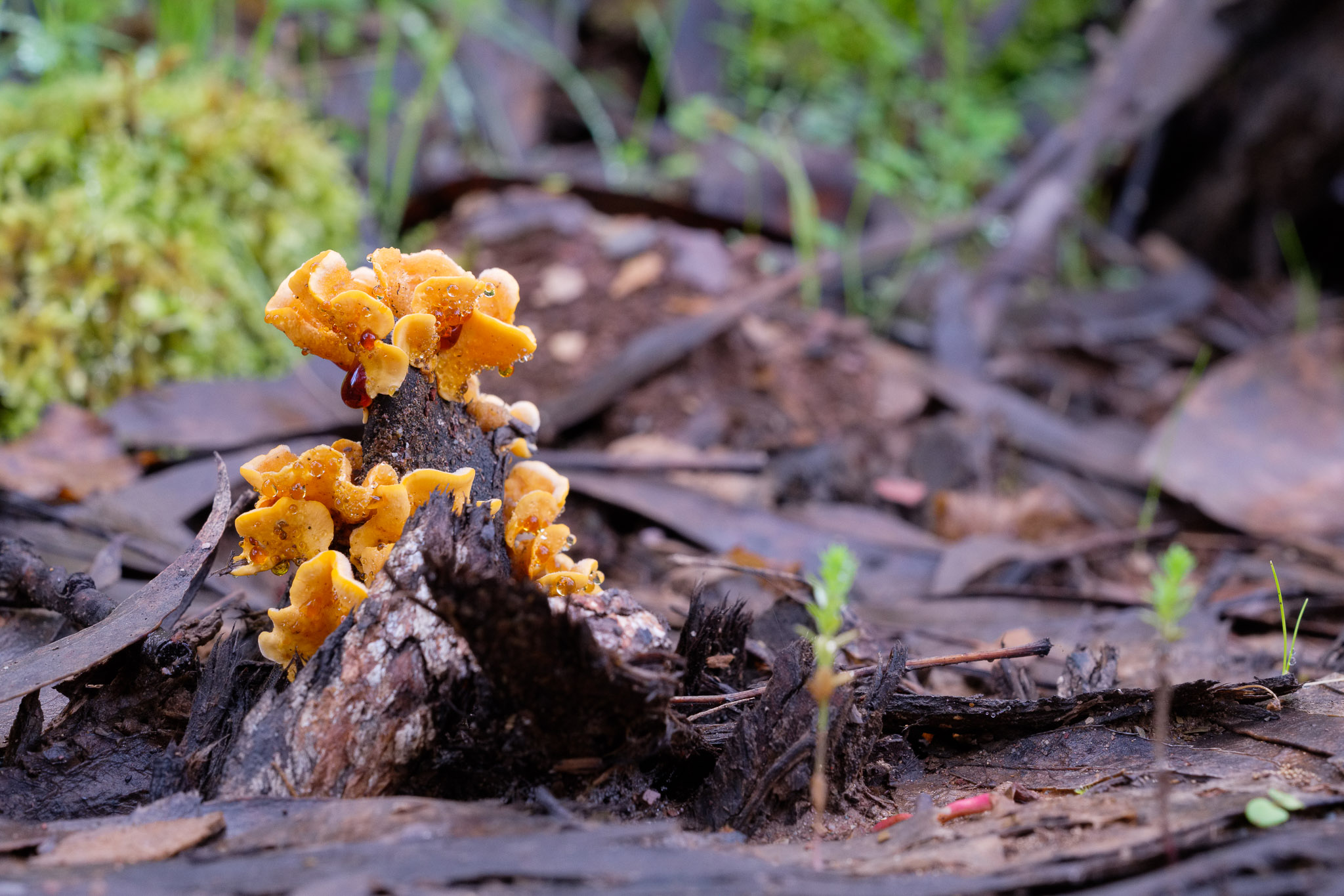
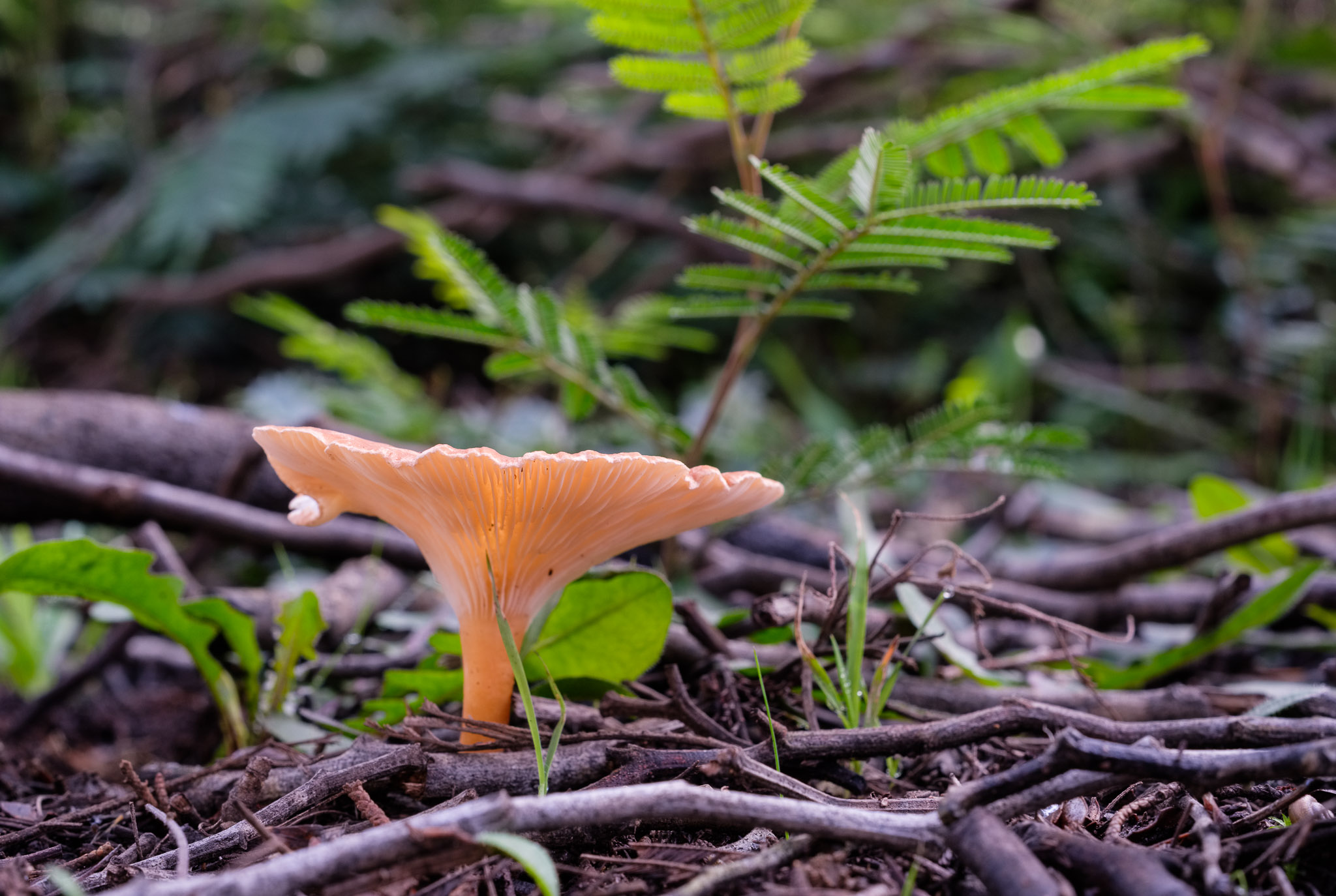
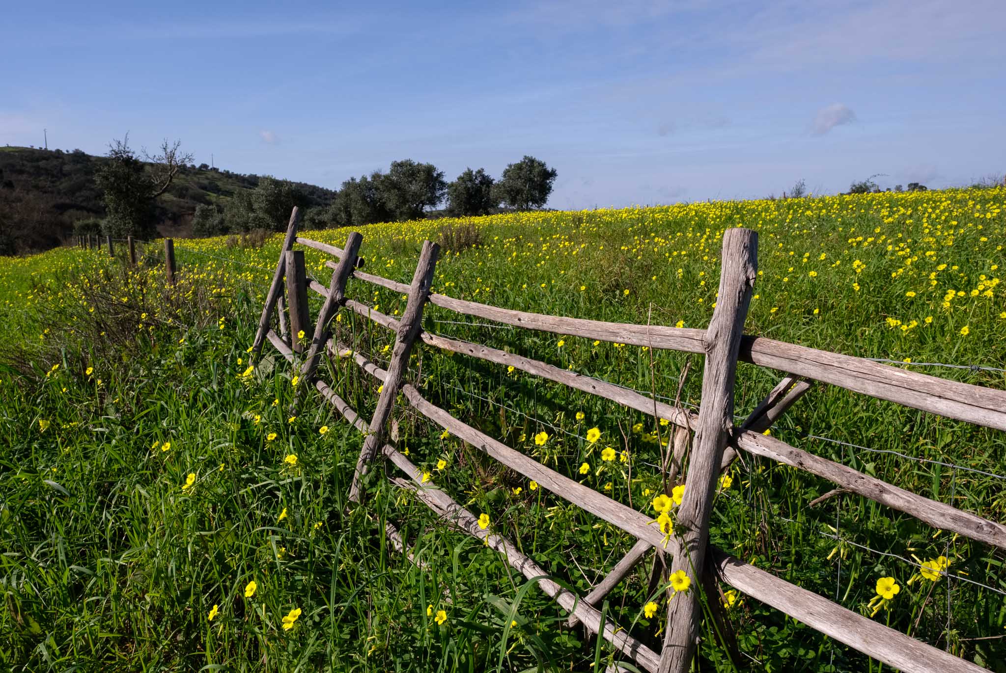
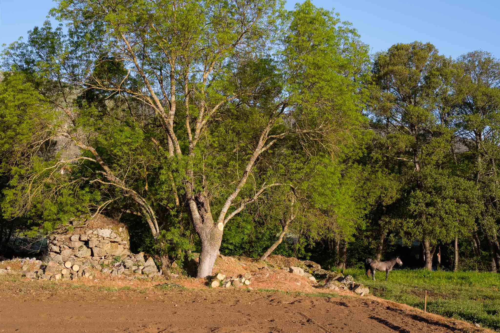
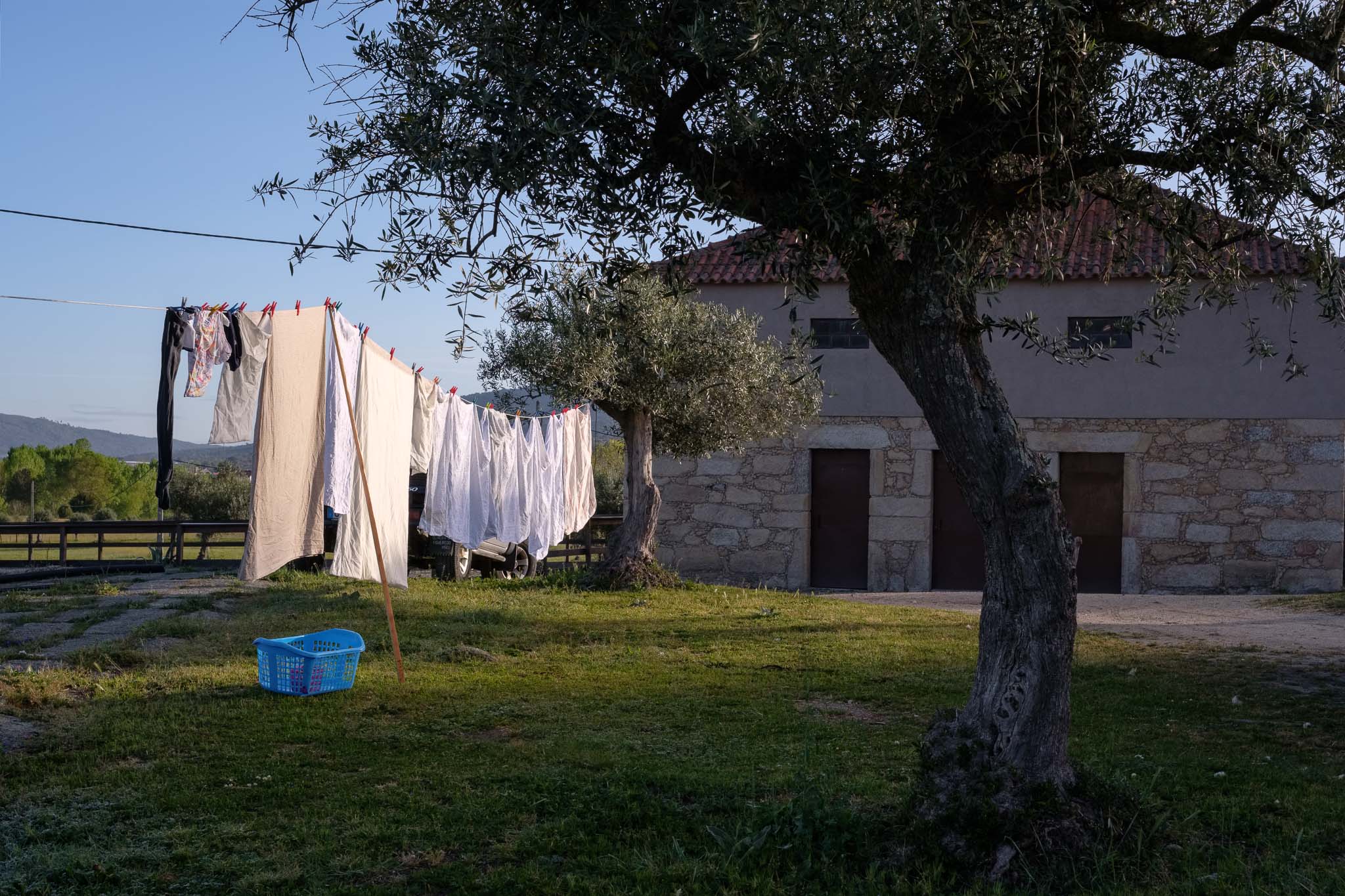
The second day of this trip to Serra da Estrela was dedicated to do the walk in the Mondego river walkways (Passadiços do Mondego). I woke up before sunrise to explore a little bit around the place where we were staying, a local farm in the village of Cavadoude, near Guarda. The morning was cold and breezy, with the ground covered in frost.

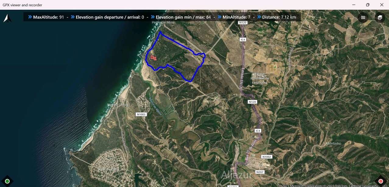
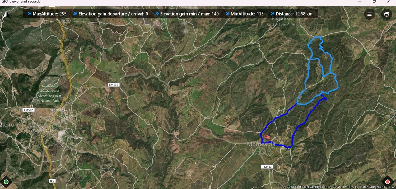
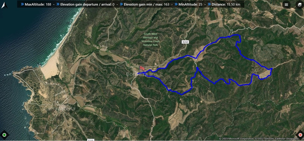
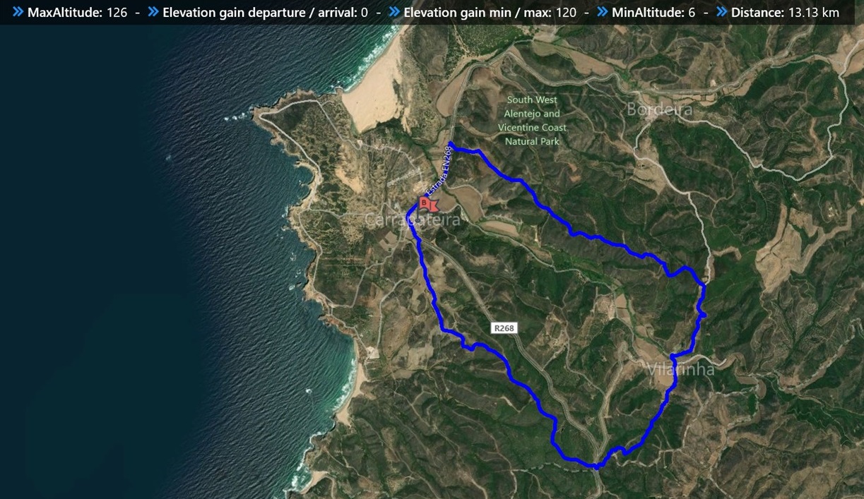
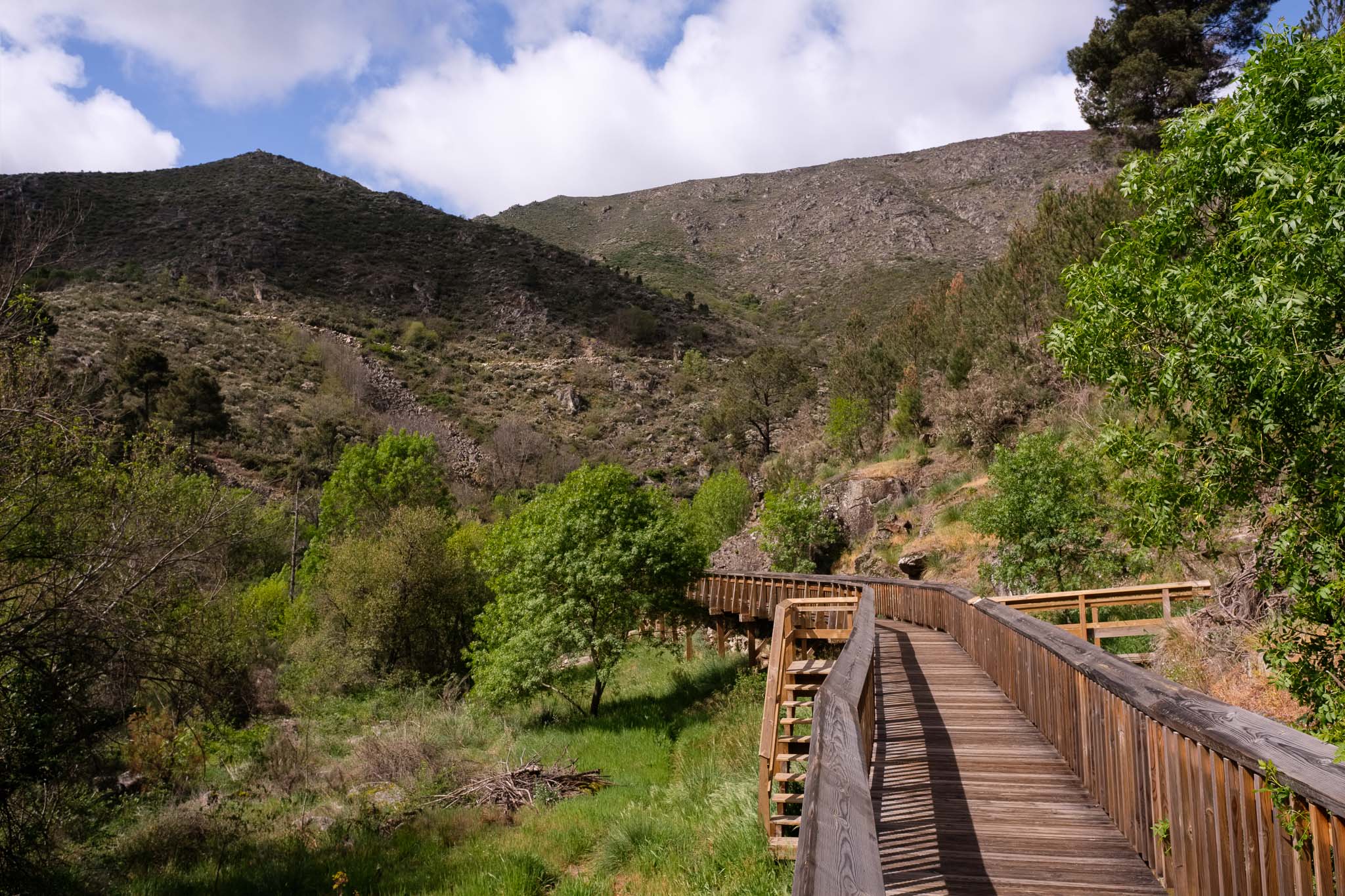
The Mondego river starts its journey in the heart of Serra da Estrela and reaches the Atlantic in the city of Figueira da Foz. This walkway is a 12 km trail that was inaugurated in November 2022; around half of its length is made of wood walkways (the so-called passadiços), thus making it possible to reach thus far completely isolated and wild areas of the upper Mondego. The map below shows the route.
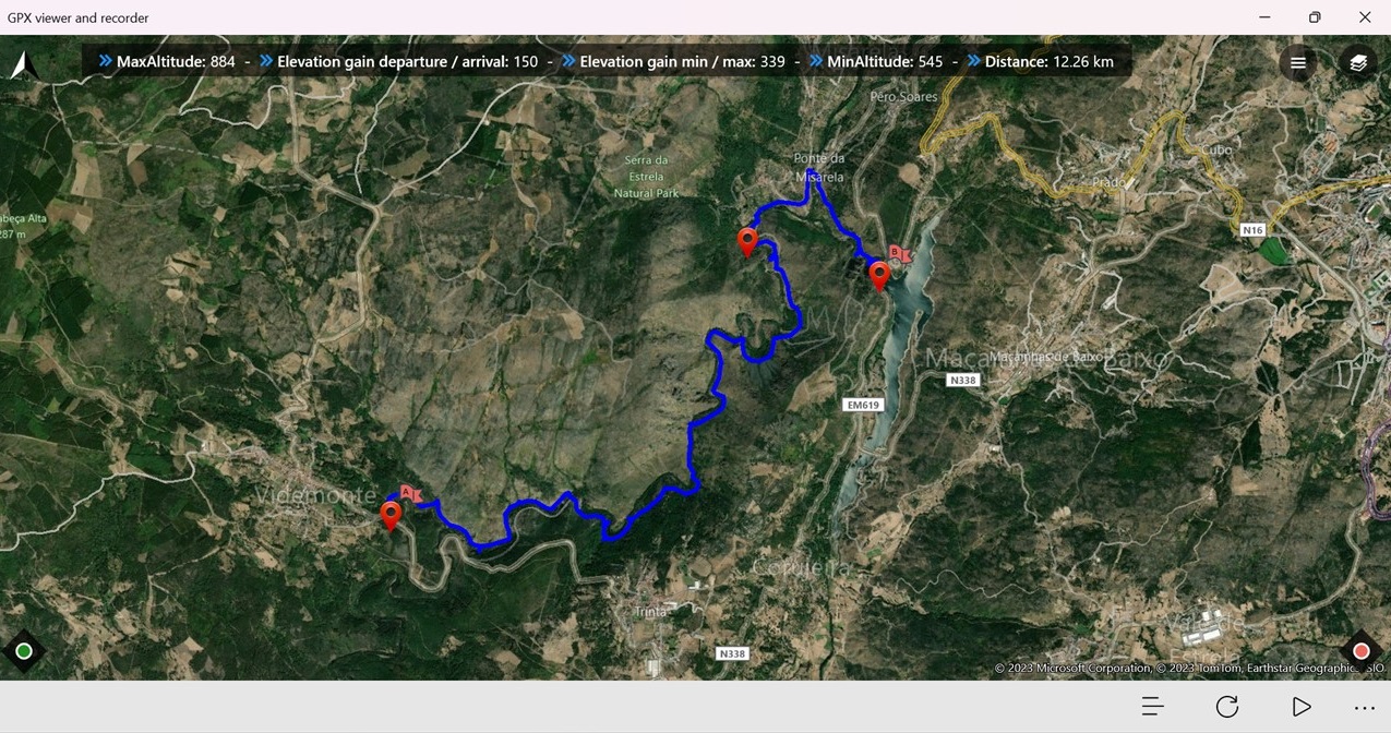
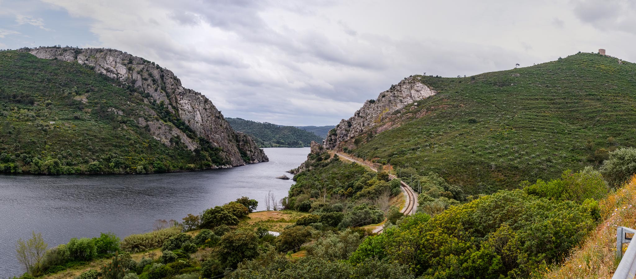
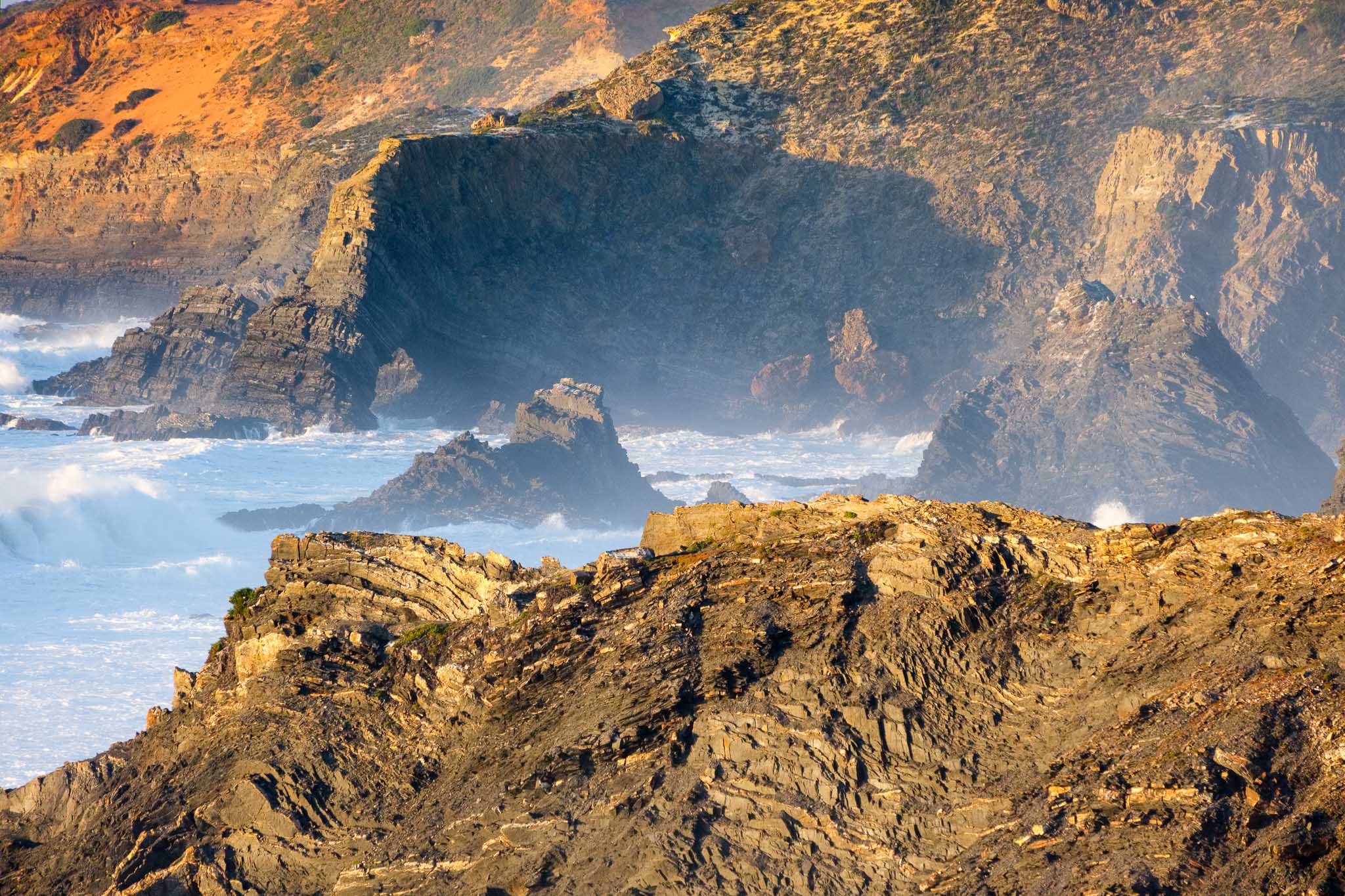
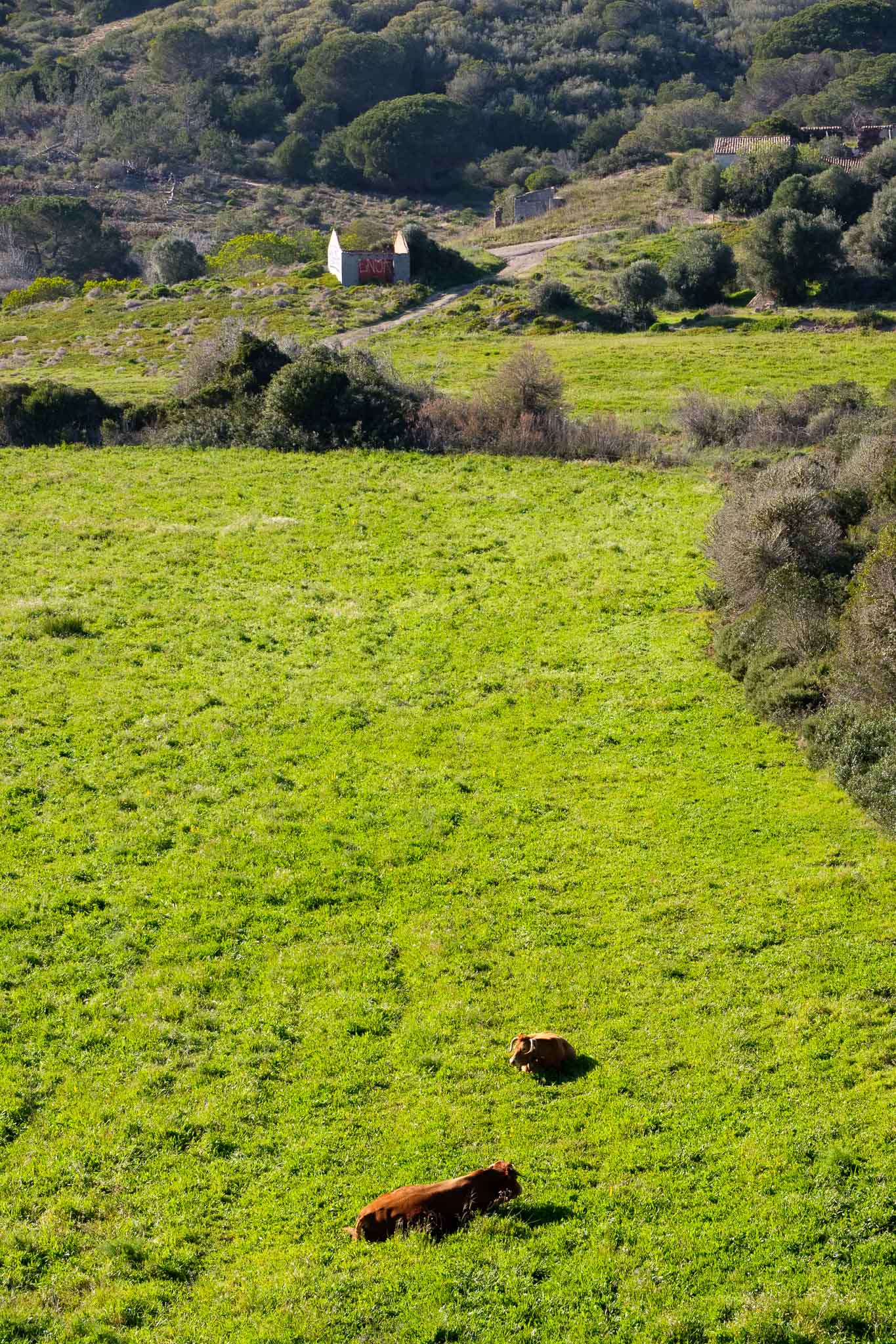
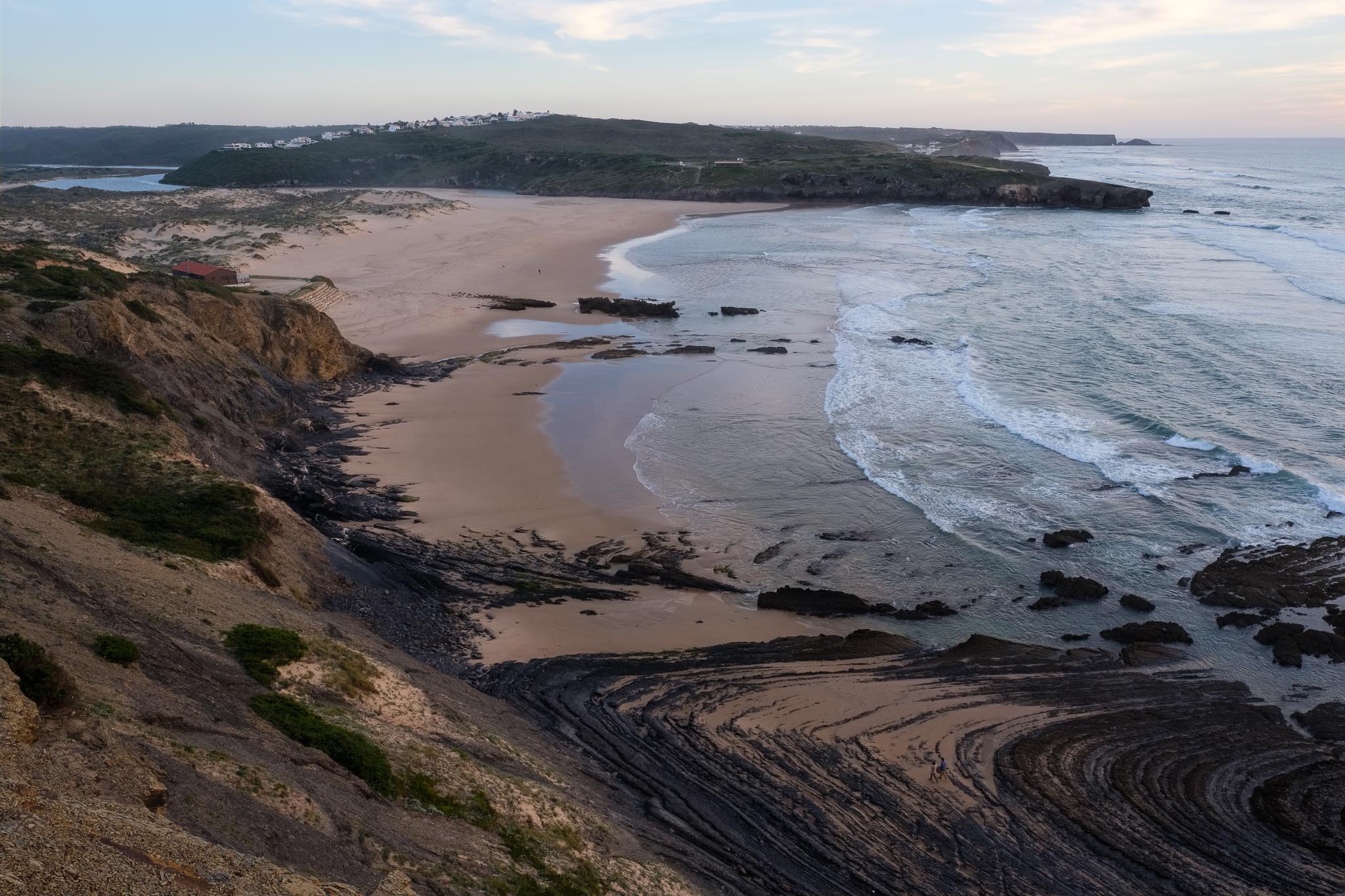
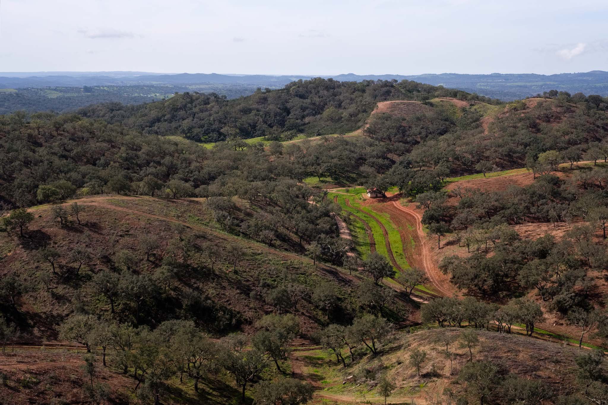
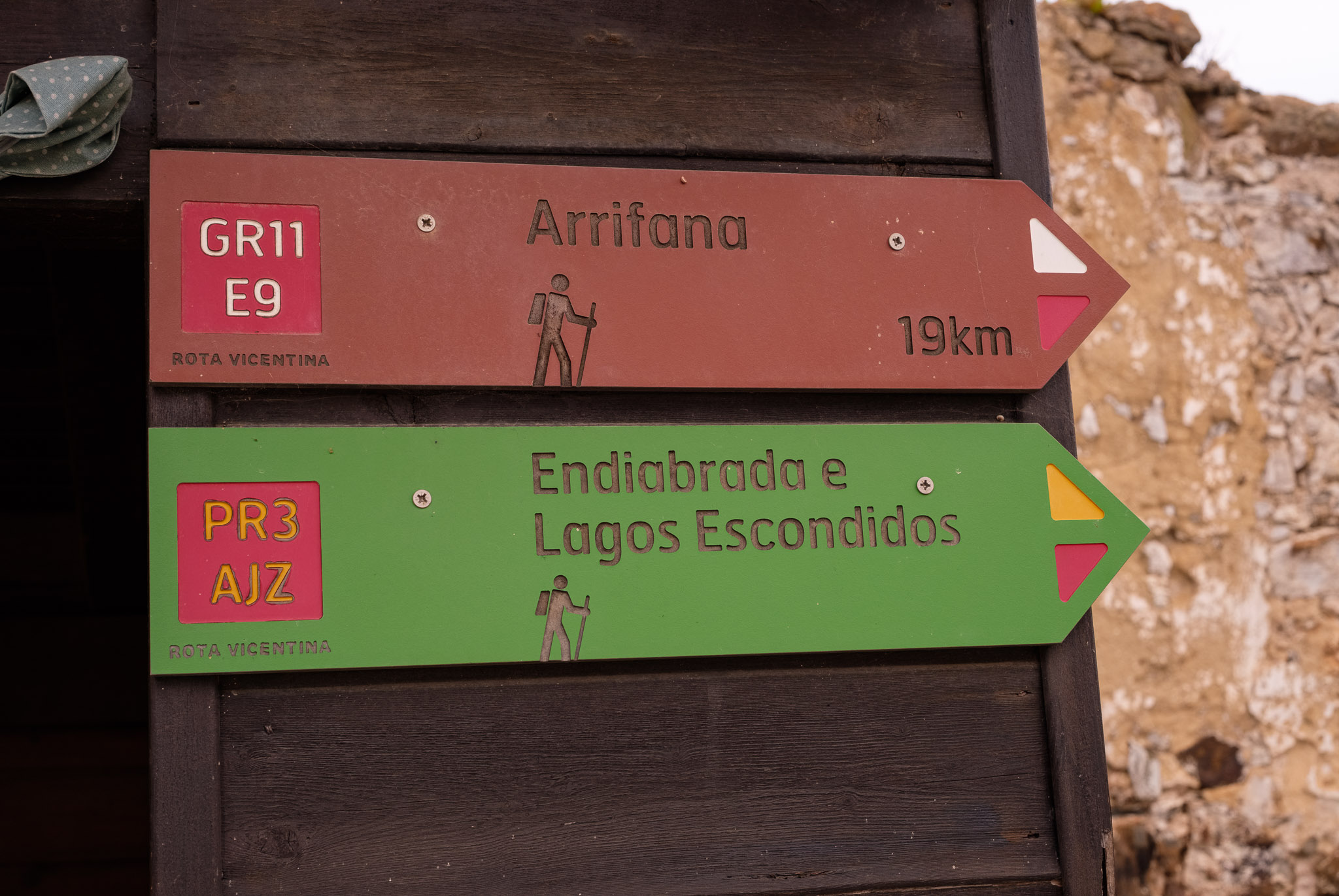
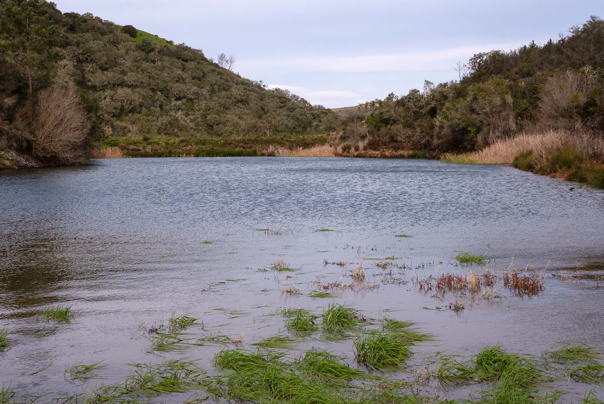
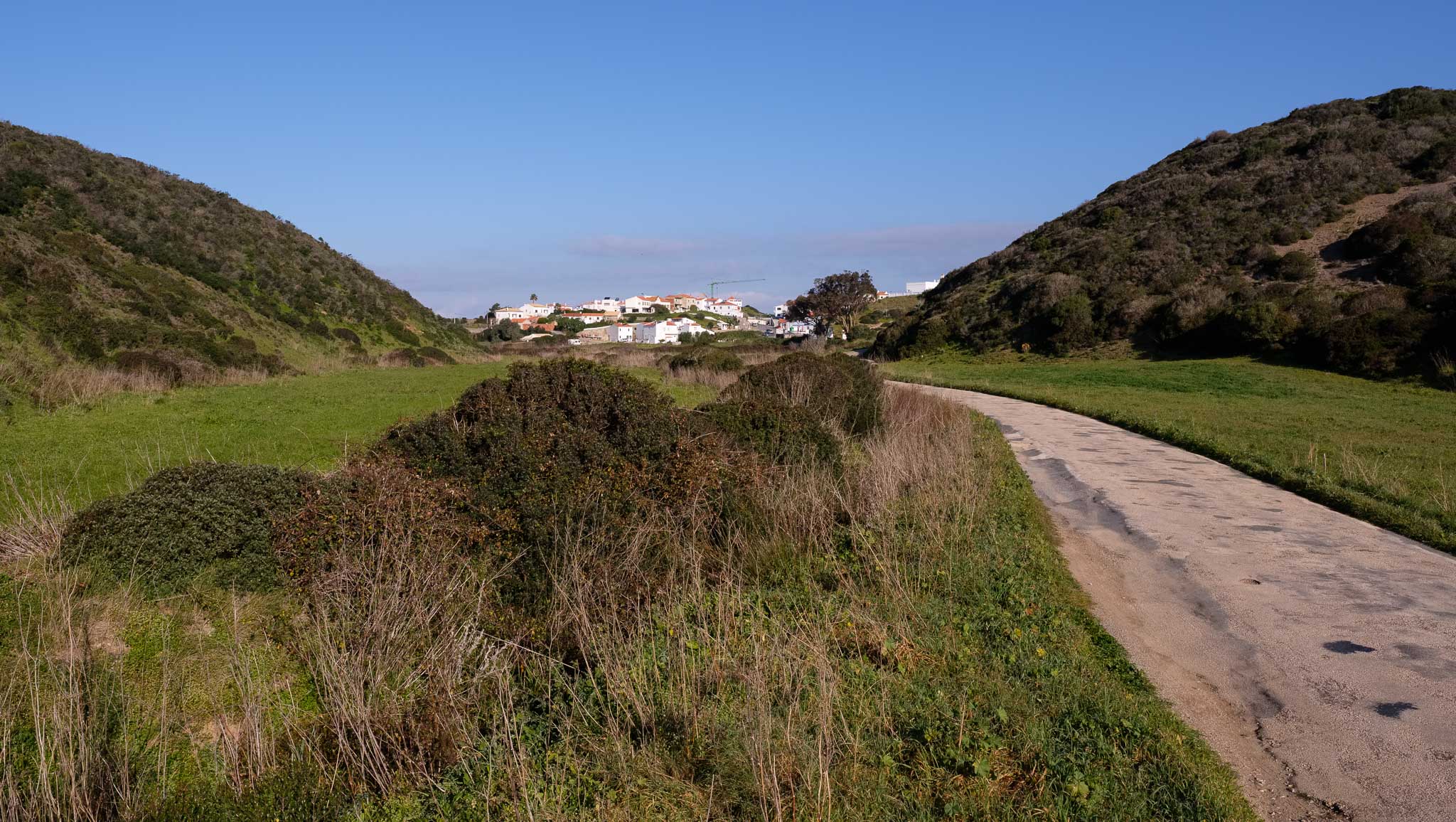
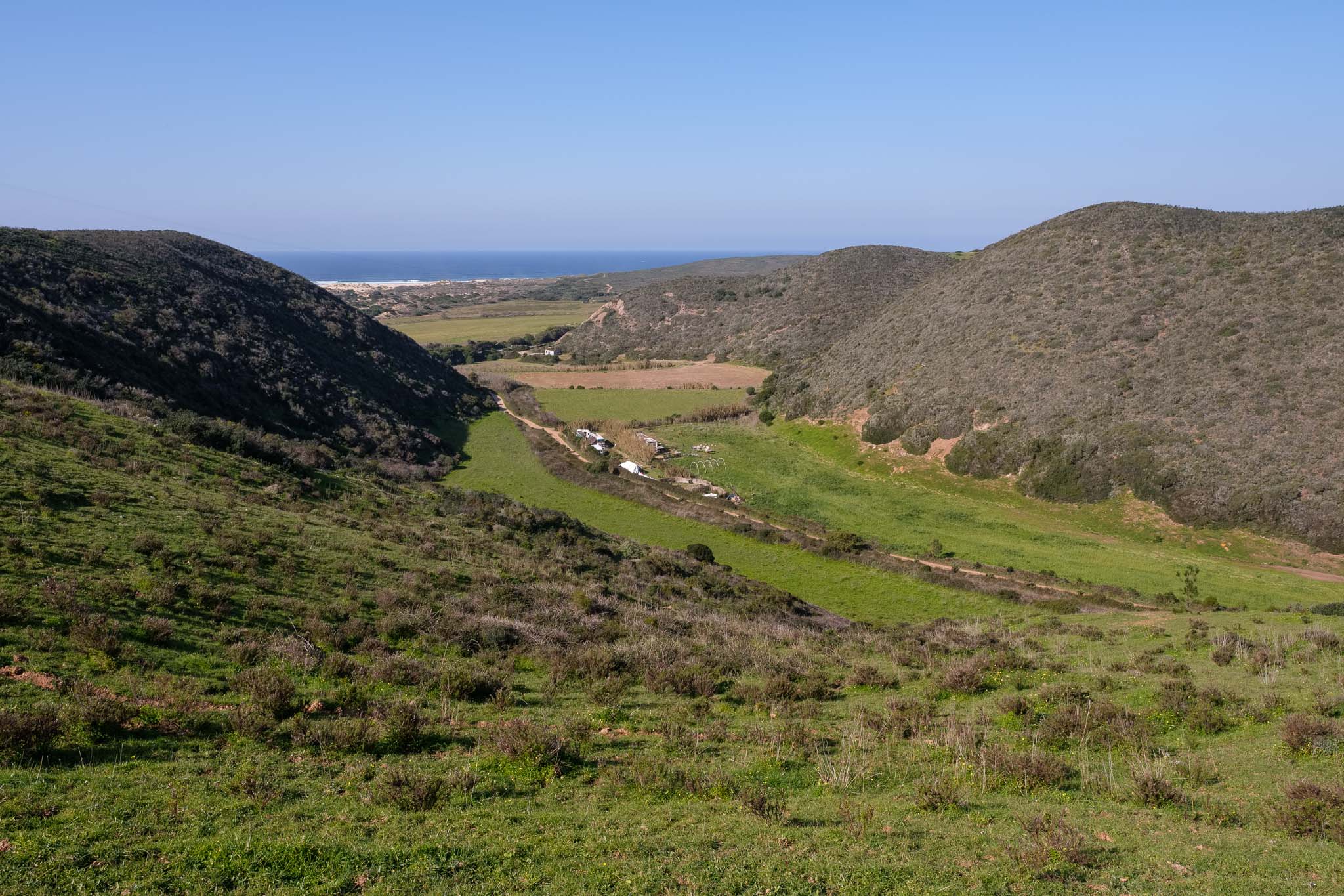
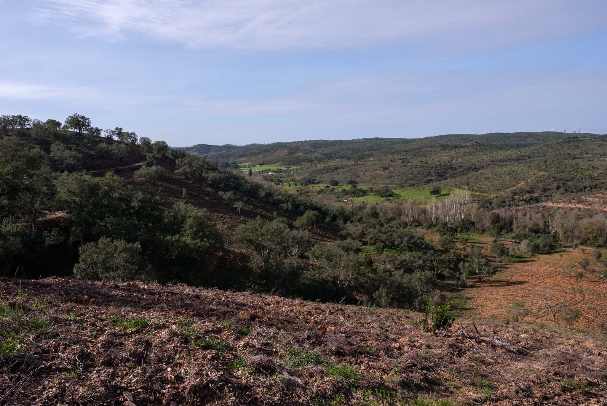
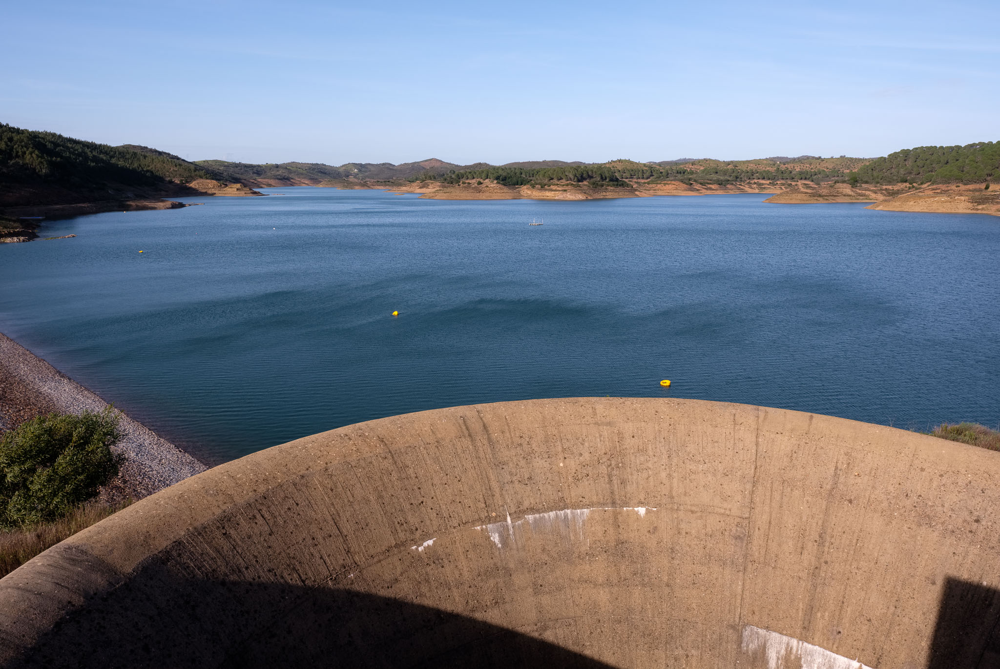
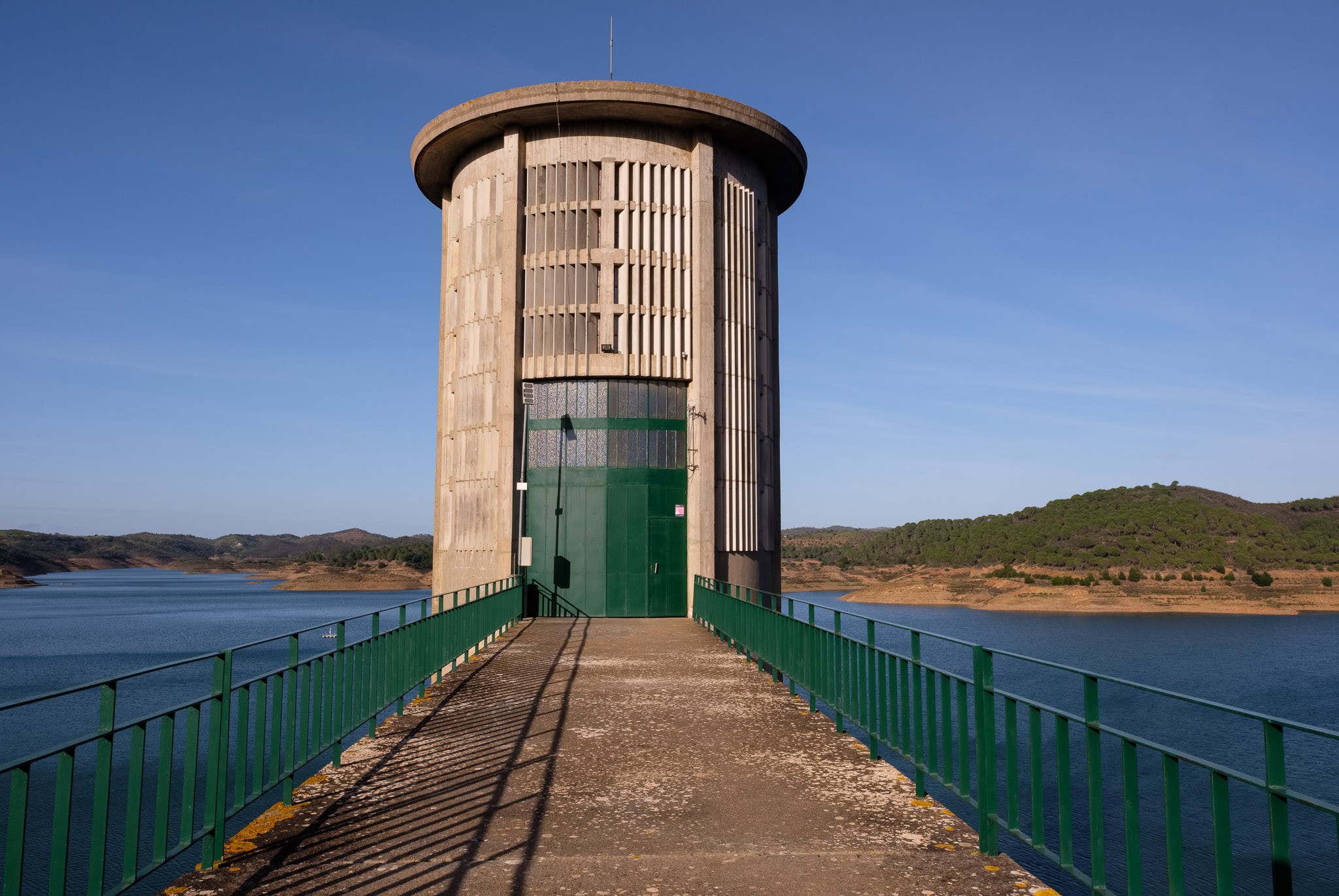
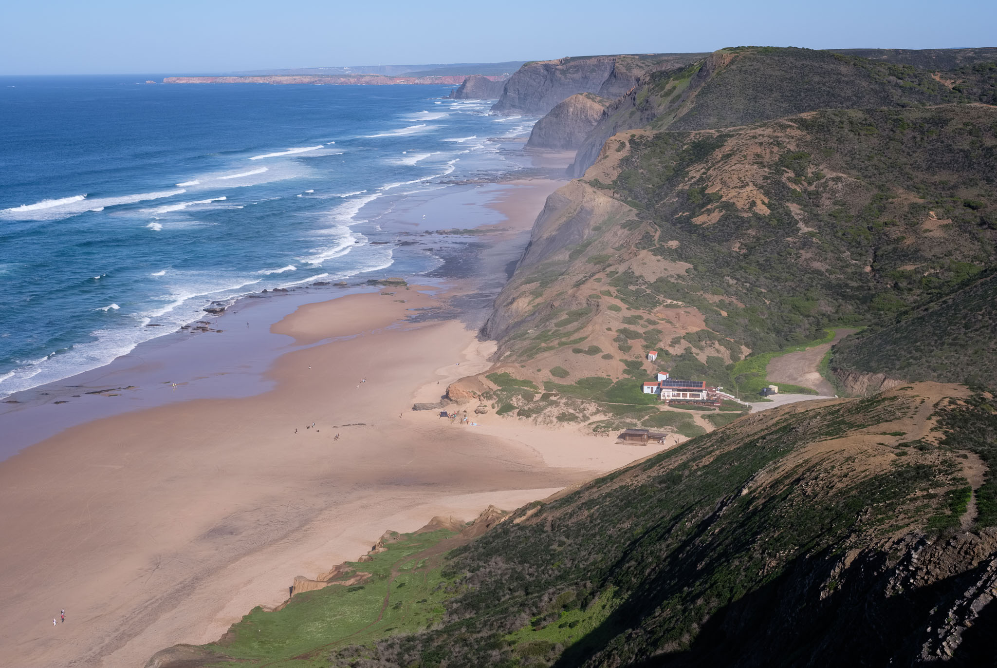
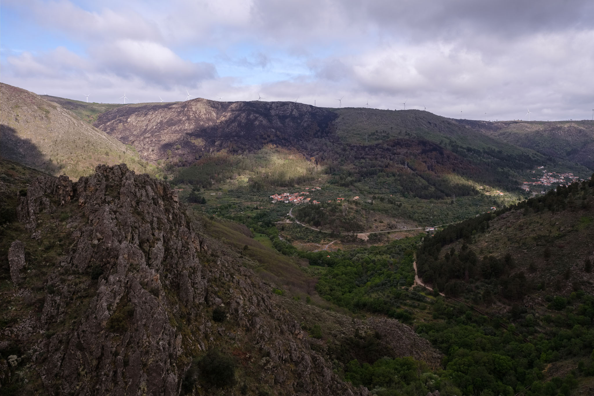
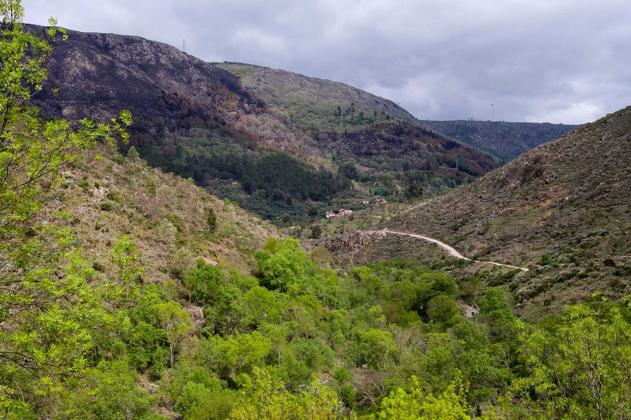
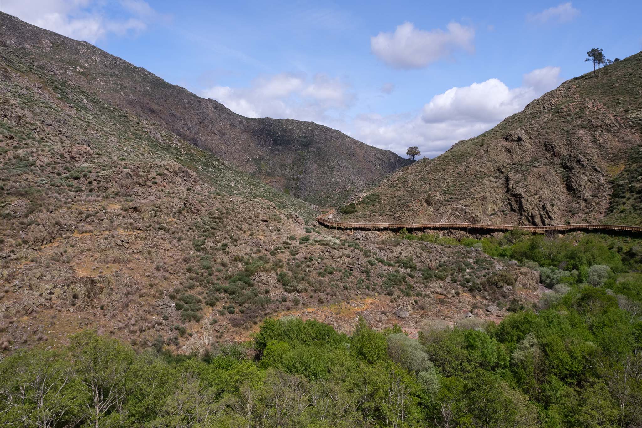
The path always follows the river, which in this area runs along a narrow and steep valley. The topography is rugged, with a marked contrast between the lush vegetation near the water and the barren and rocky granitic slopes. We decided to start the walk in the northern entrance, at the Caldeirão dam. You can also start at the southern entrance near the village of Videmonte; however, if you do so you will face a very steep and strenuous climb in the end at Caldeirão.
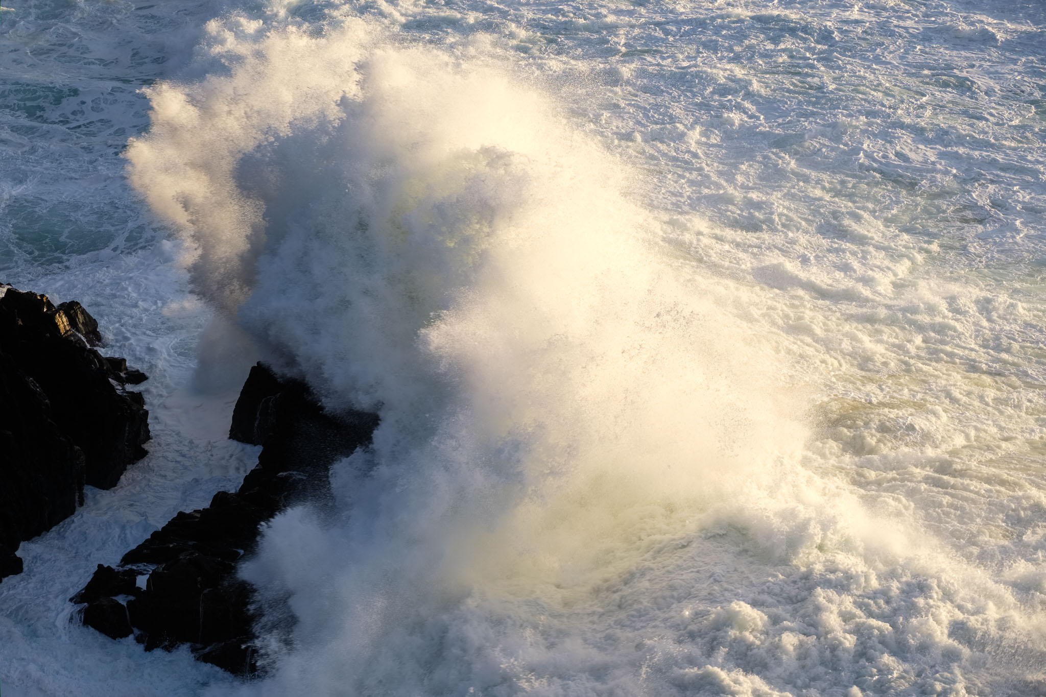
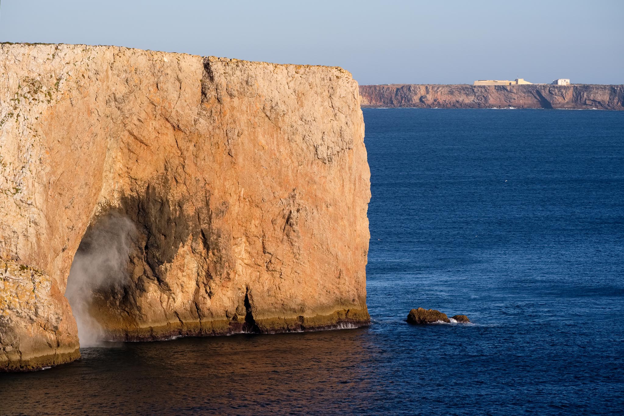
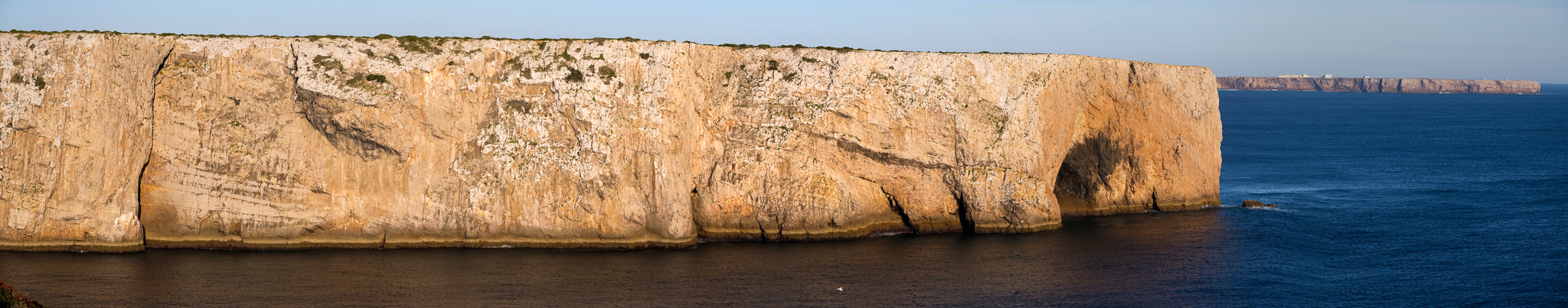
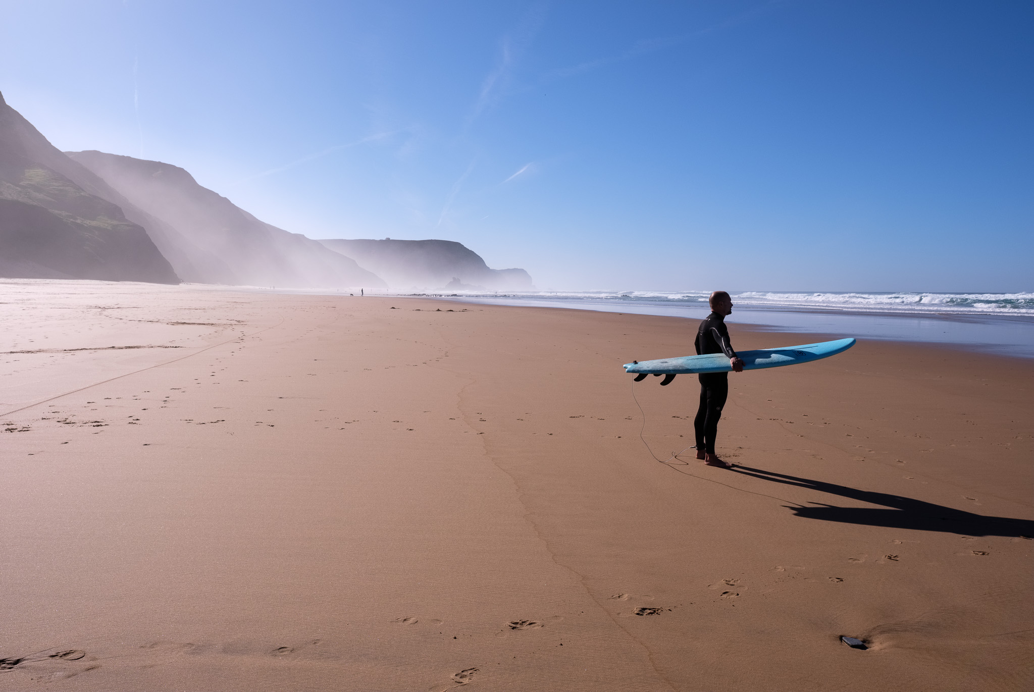
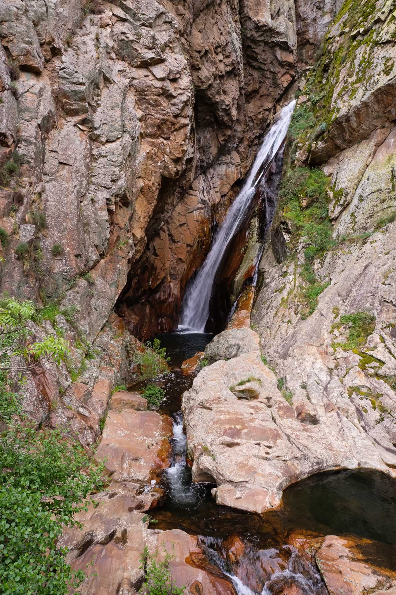
The weather was a bit like in the previous day, overcast with clouds and a strong wind in the more exposed parts of the mountain. In the afternoon the sky cleared up somewhat. As usual, I had my photo kit (2 cameras and 2 lenses plus tripod) in my daily backpack. I recommend a wide angle lens for the mountain views, plus a normal lens for the other subjects along the way. A pair of binoculars is also a good idea. Near the beginning of the route, there are a few spots where nice vistas of the valley can be seen; there is also a small detour that reaches the Caldeirão waterfall, a wonderful place where the water falls from a height of 50 m, cutting through pink granite.
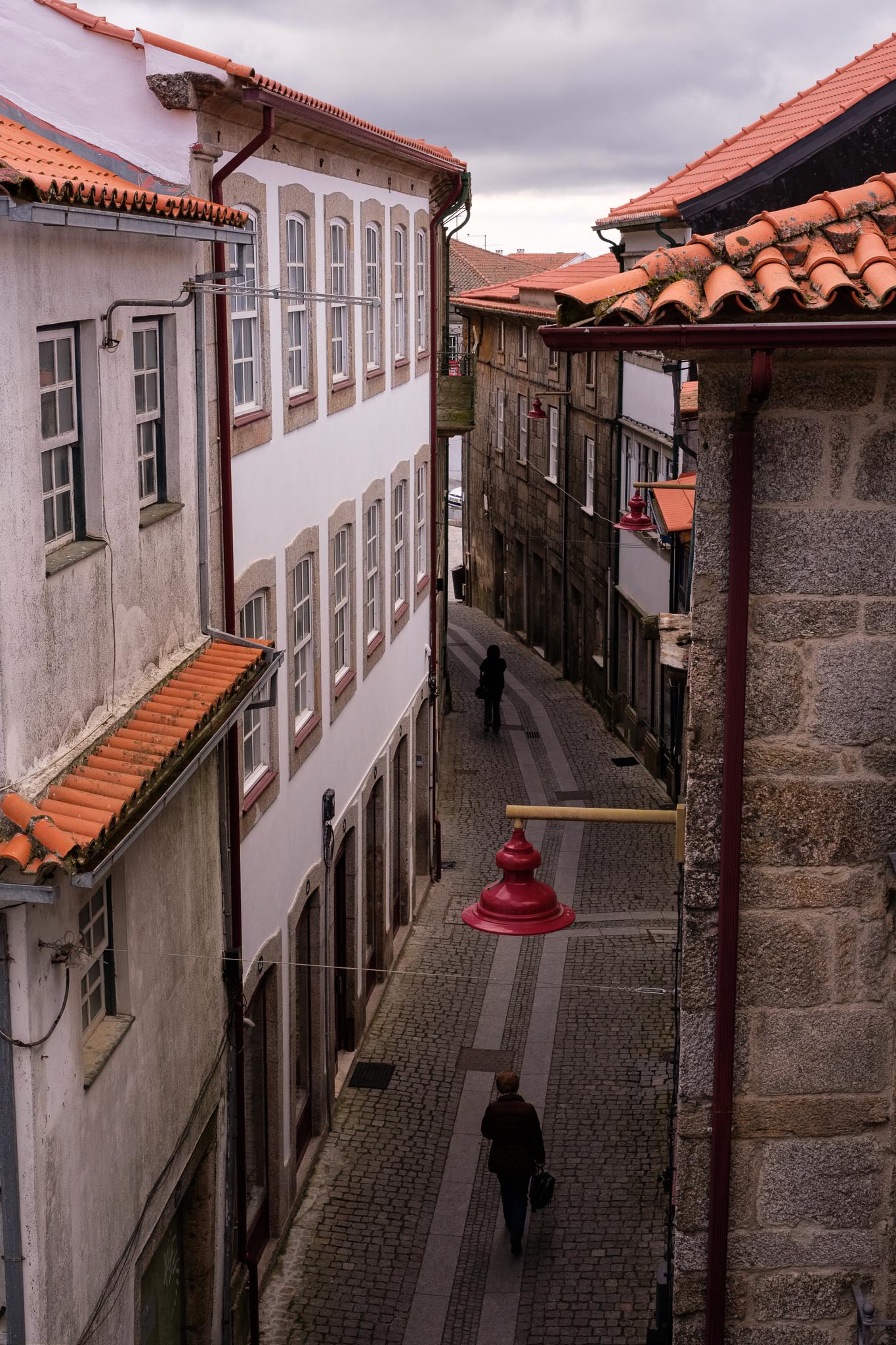
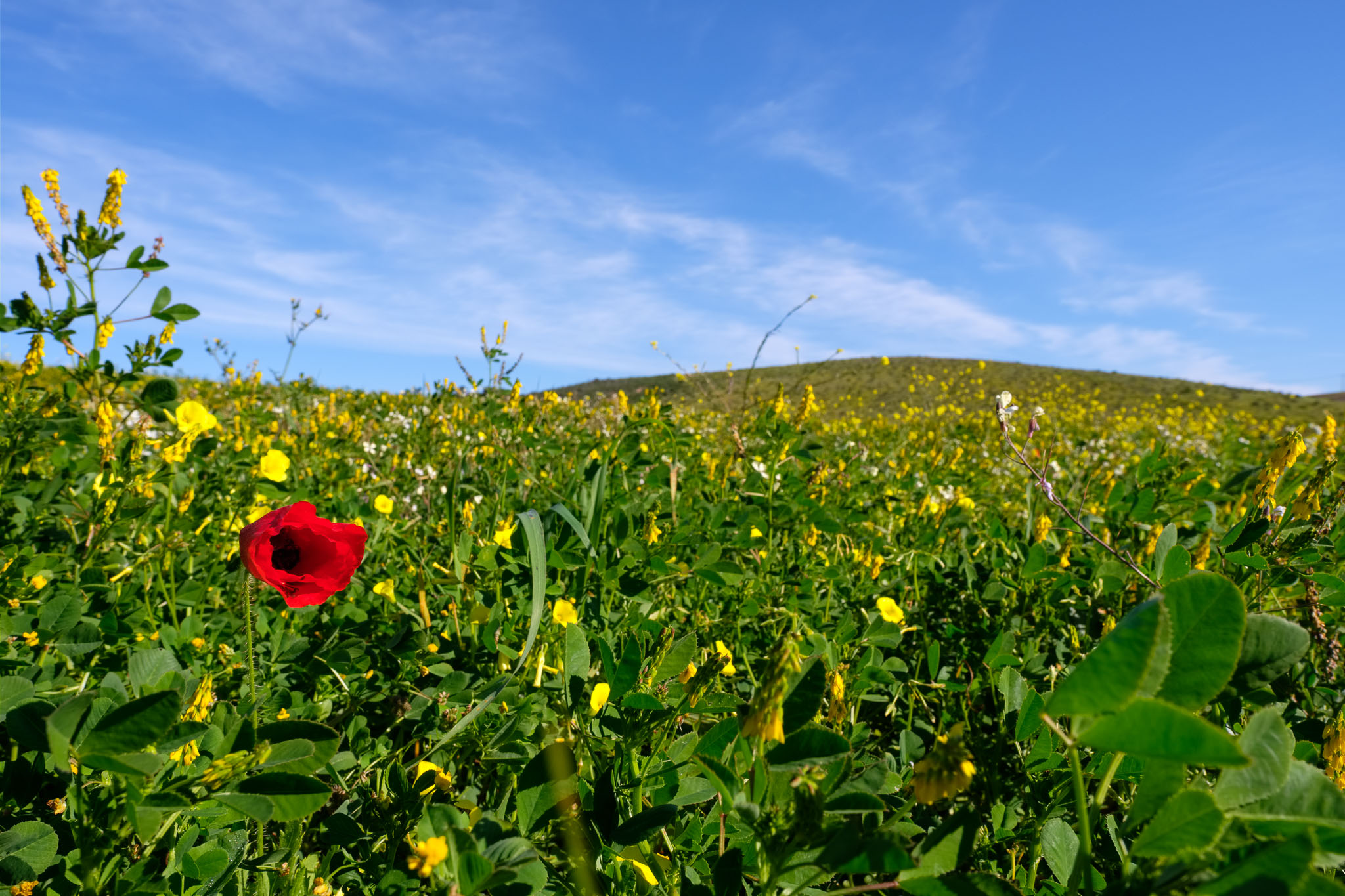
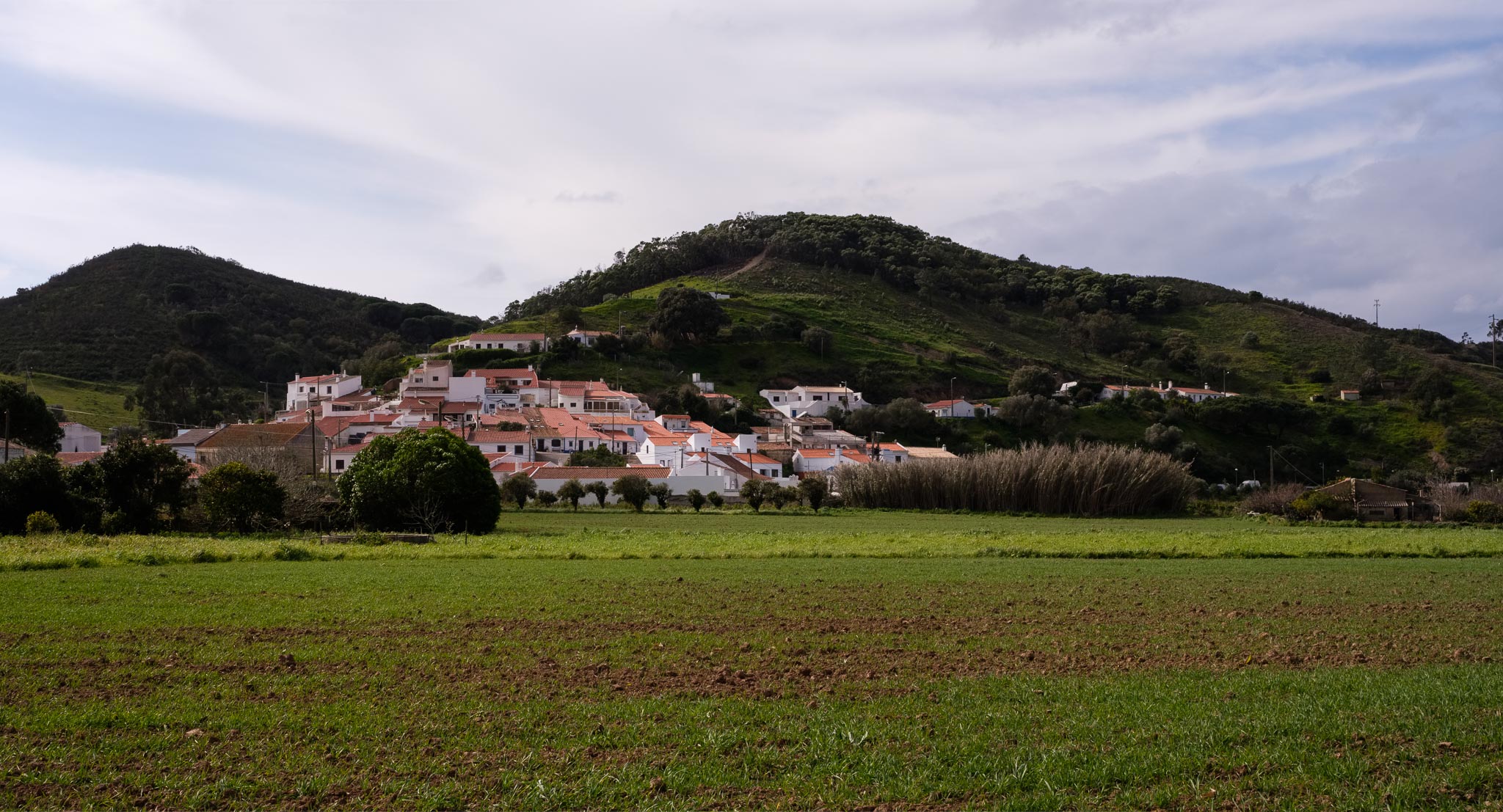
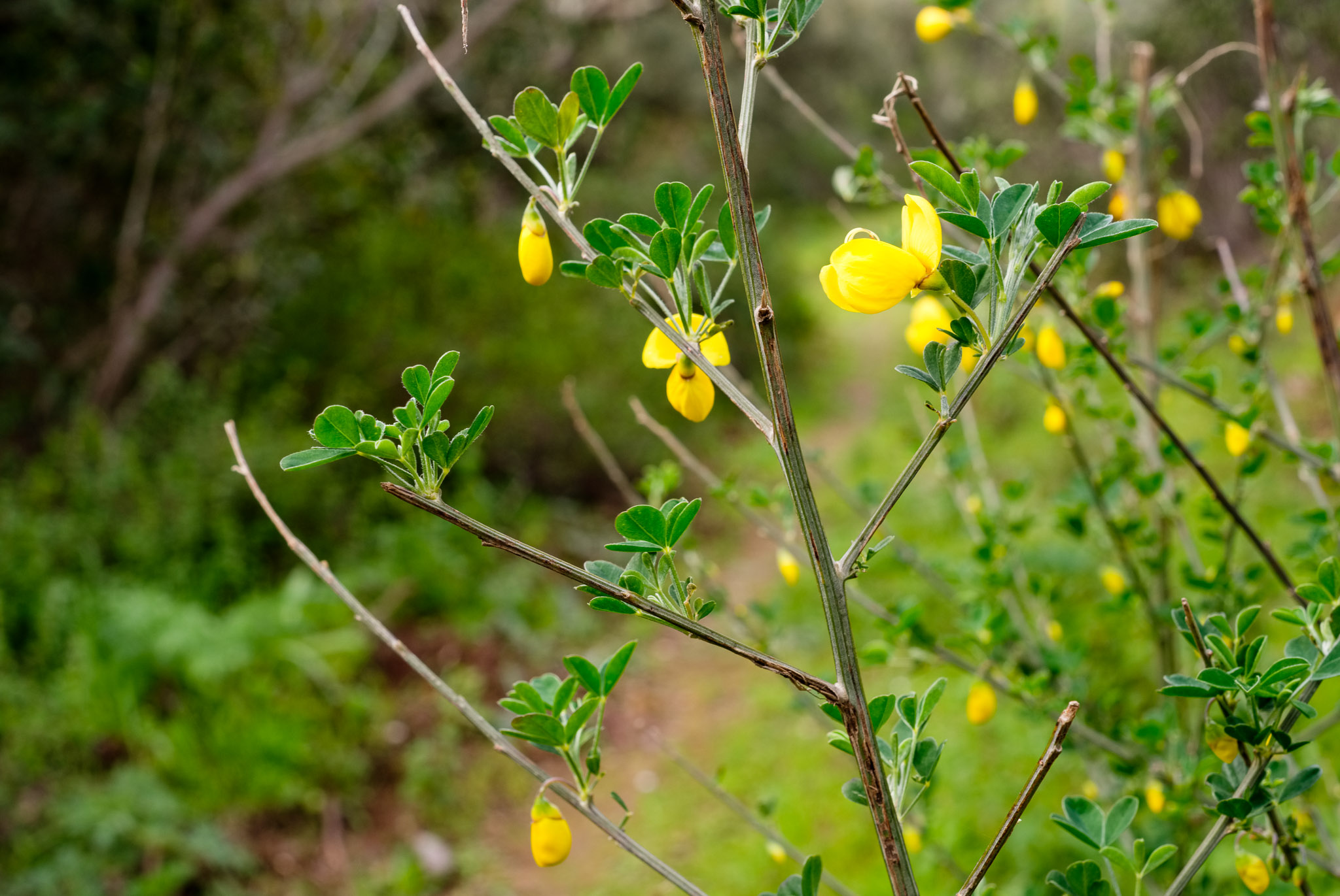
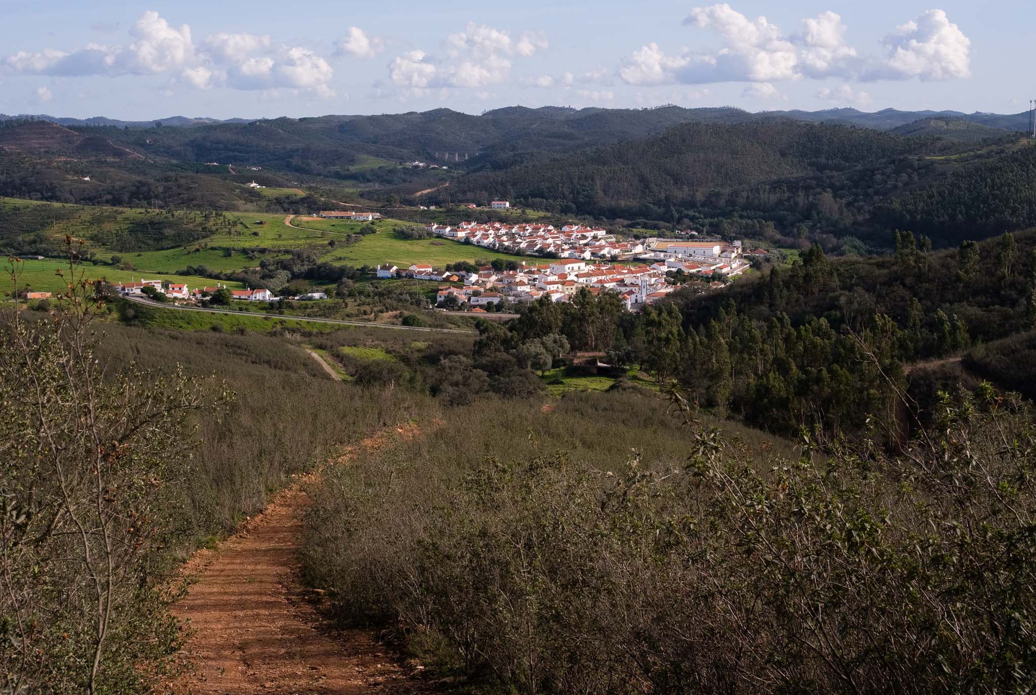
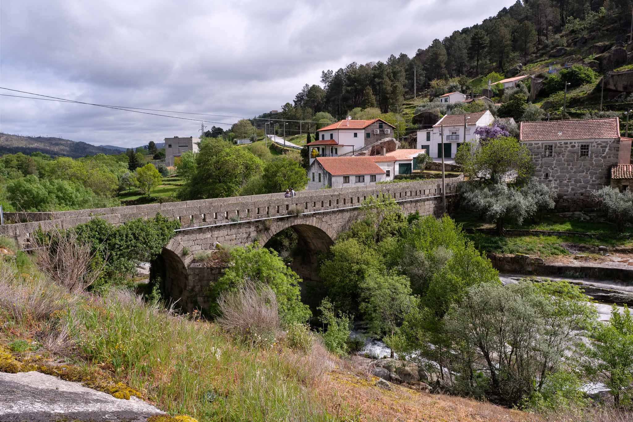
After a few km we reach the village of Misarela, famous for its medieval bridge. I think that Spring is a great time to do this walk, because the rivers and brooks have plenty of water, after the Winter rains.
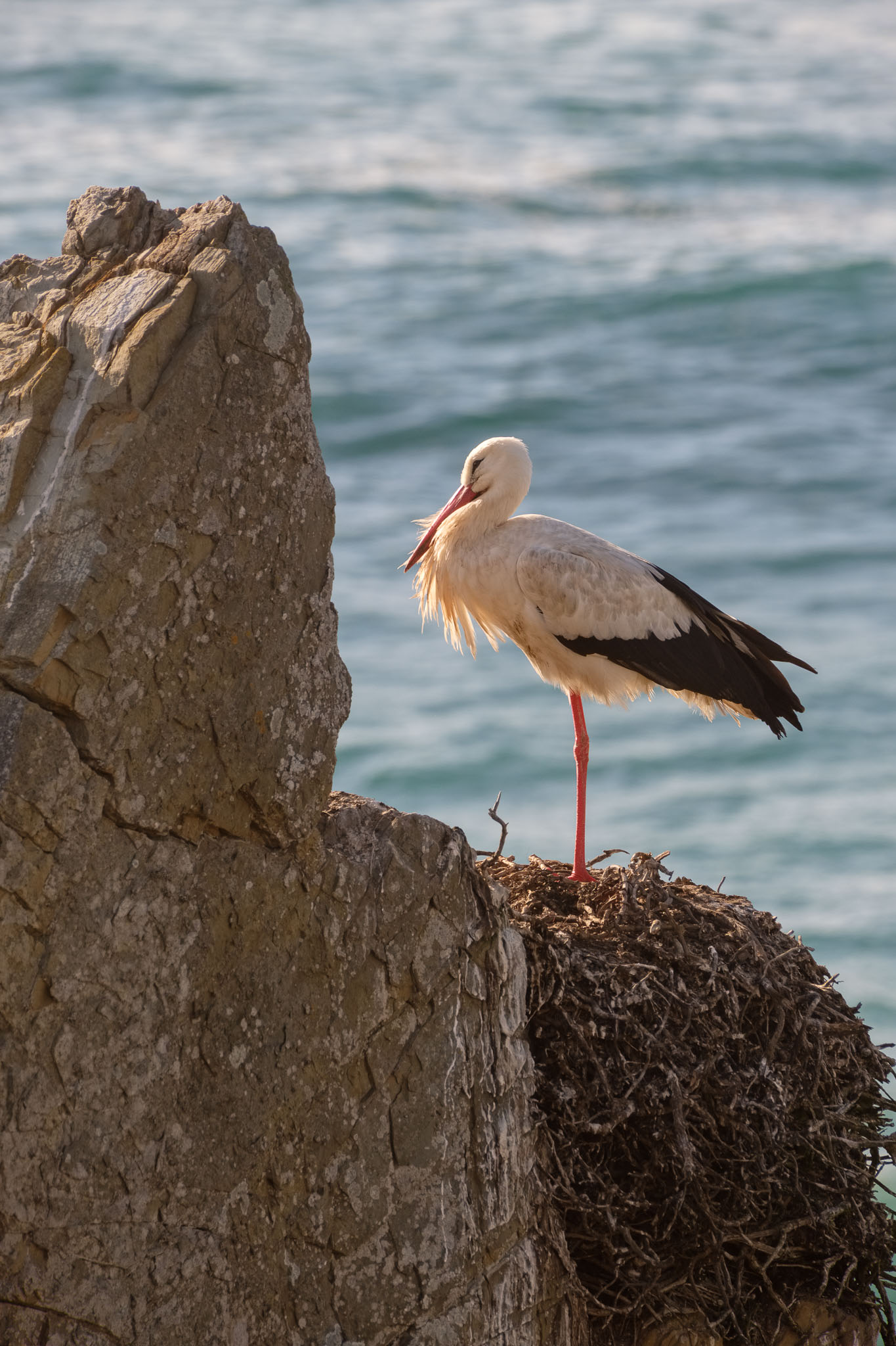
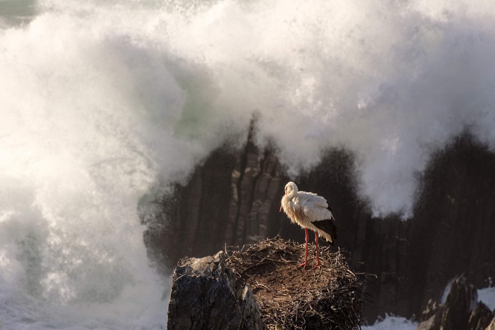
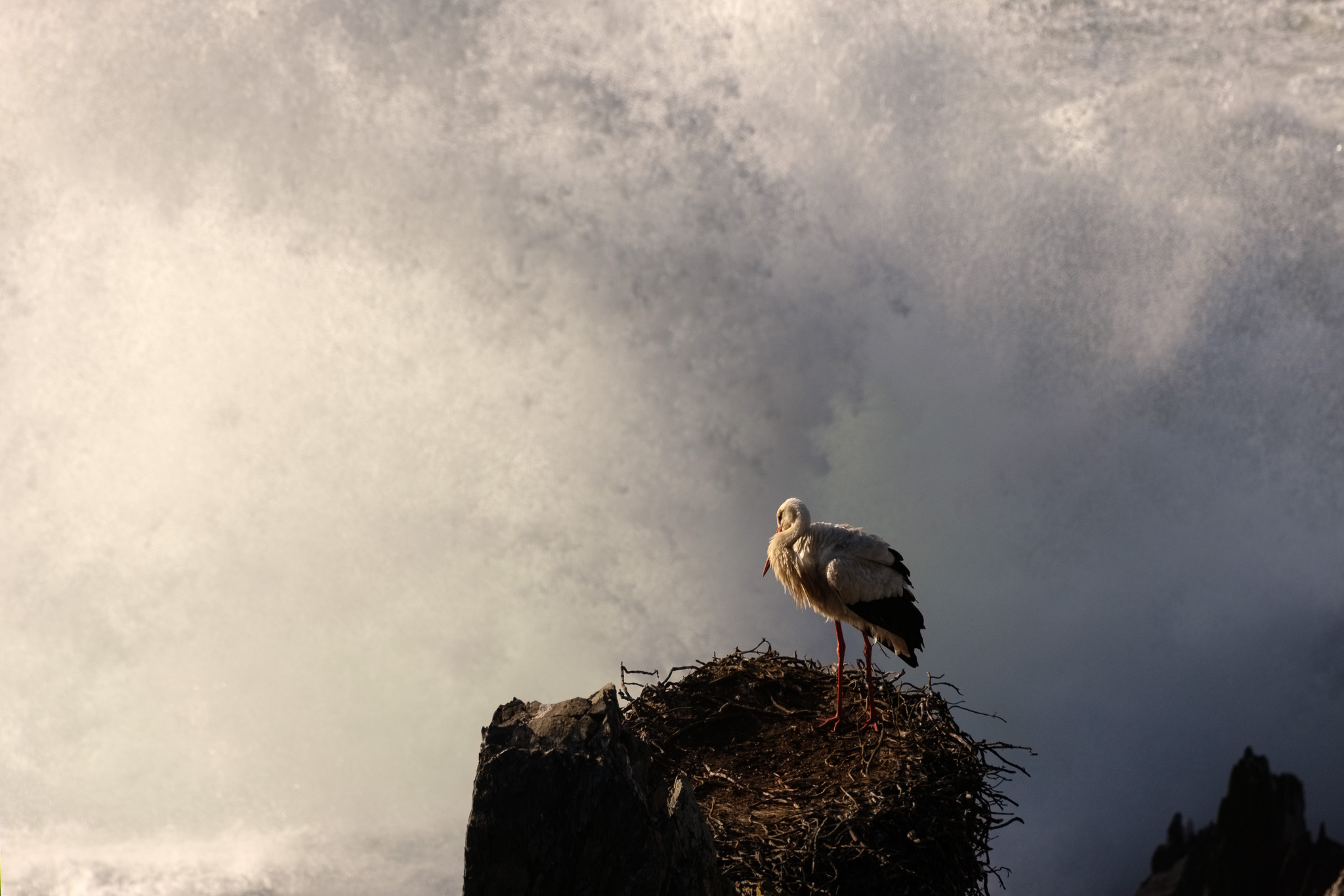
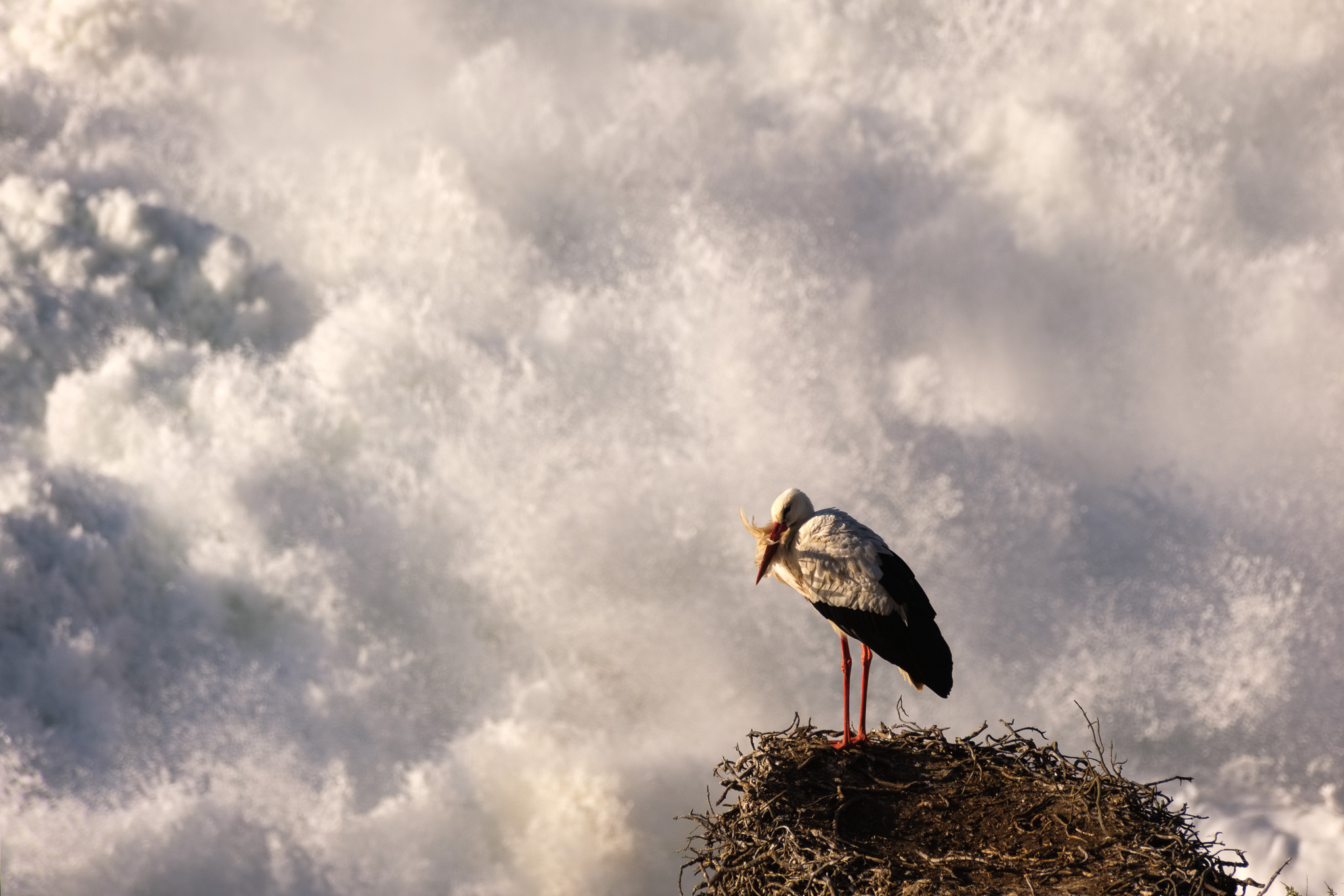
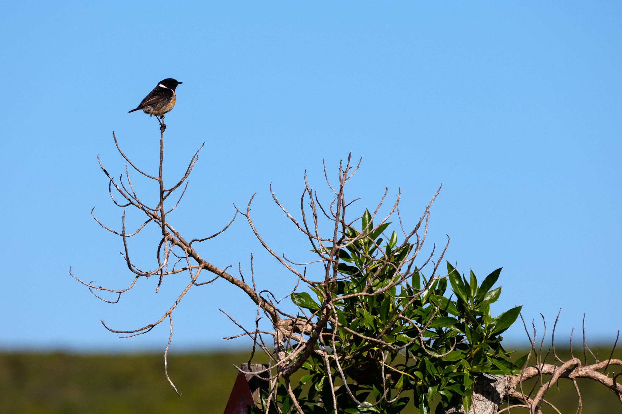
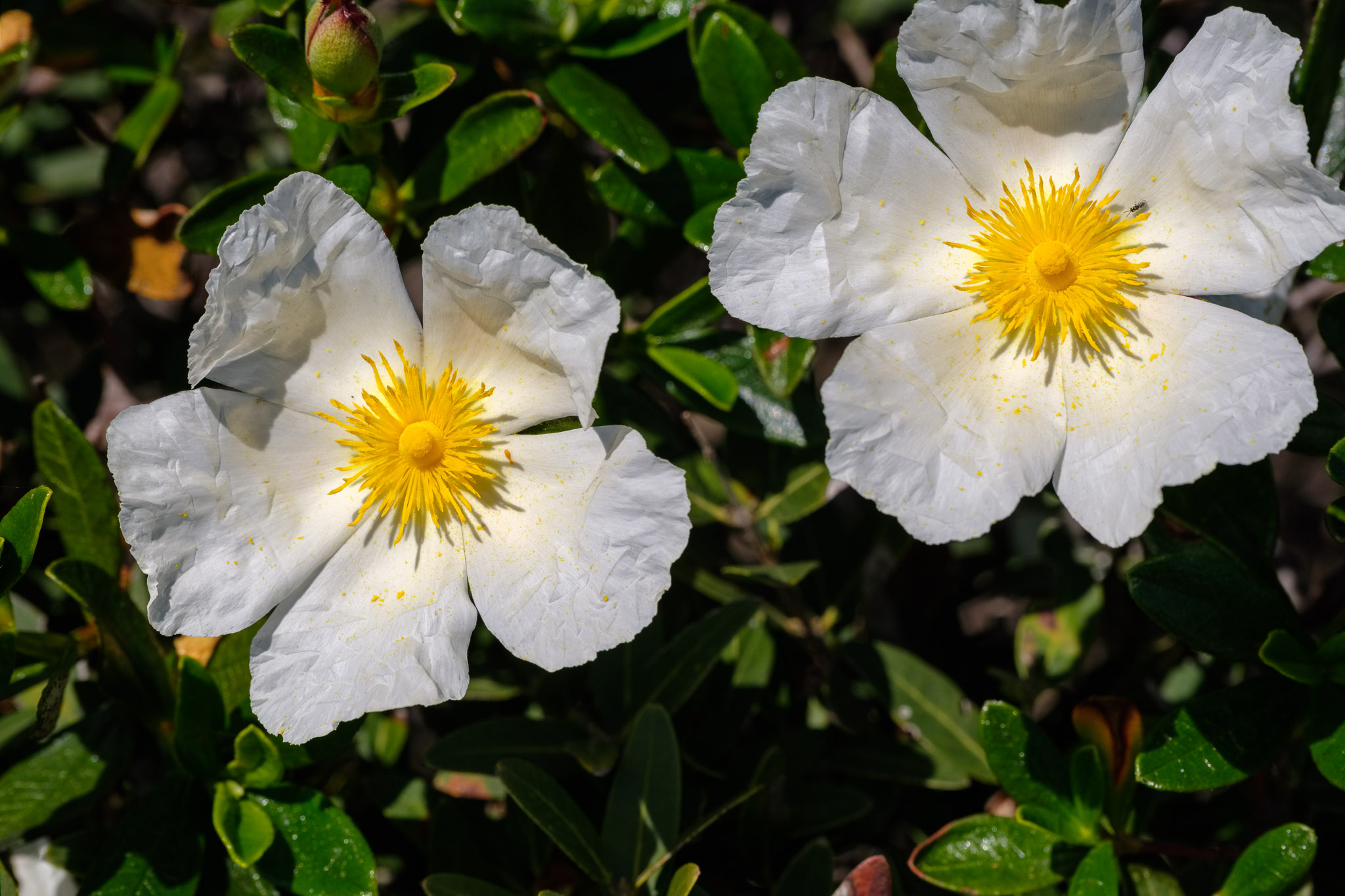
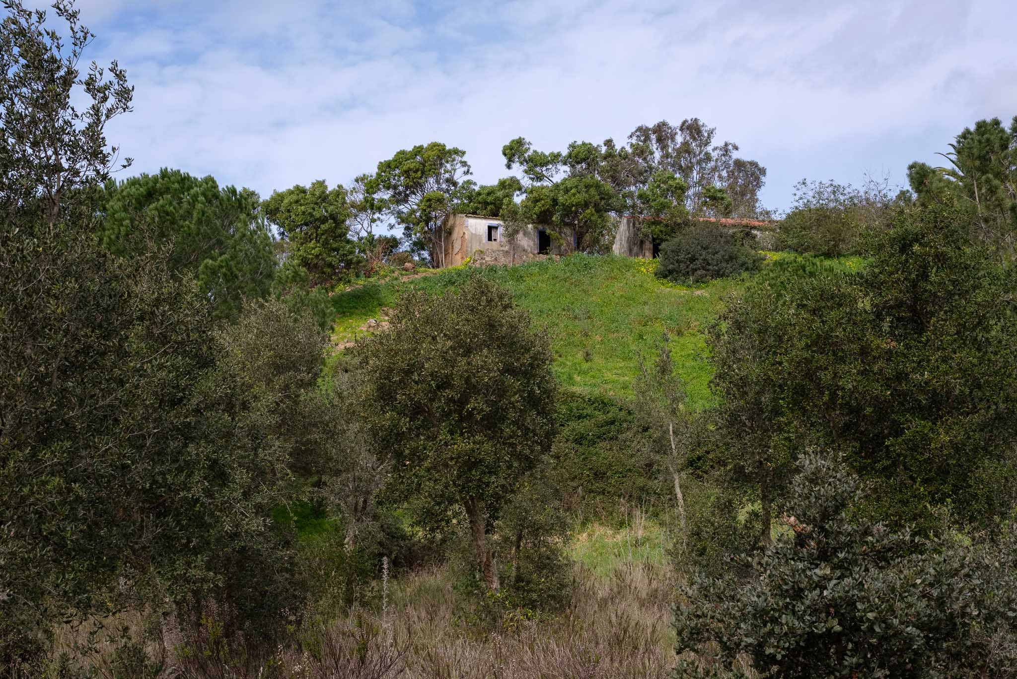
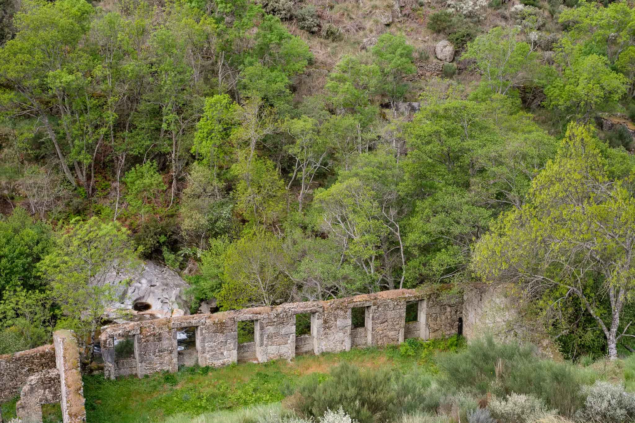
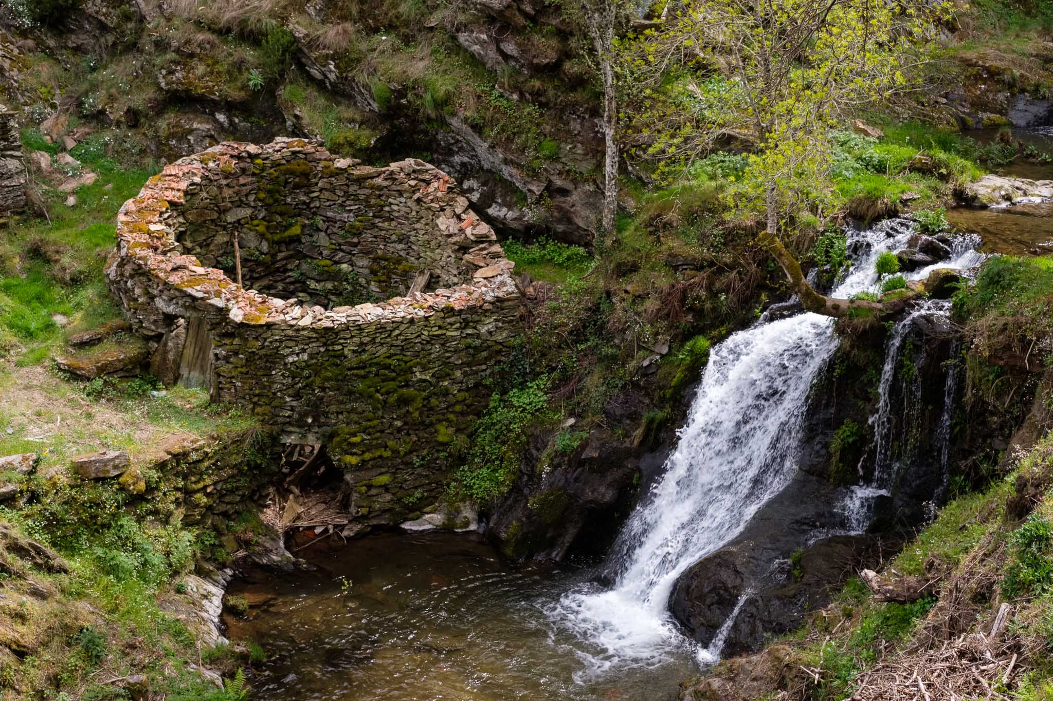
As I have mentioned, the trail follows along the course of the river, so the sound of running water is always present, together with the rich singing of the various birds in the trees. There are plenty of interesting things to see as we walk along the path, including the remains of the once very important wool factories. You will see several signposts indicating them near the river, where the water’s energy was used to sustain the manufacture of wool. They are a testament to human ingenuity and persistence from more than 100 years ago, where living conditions in these isolated mountain reaches must have been tough.


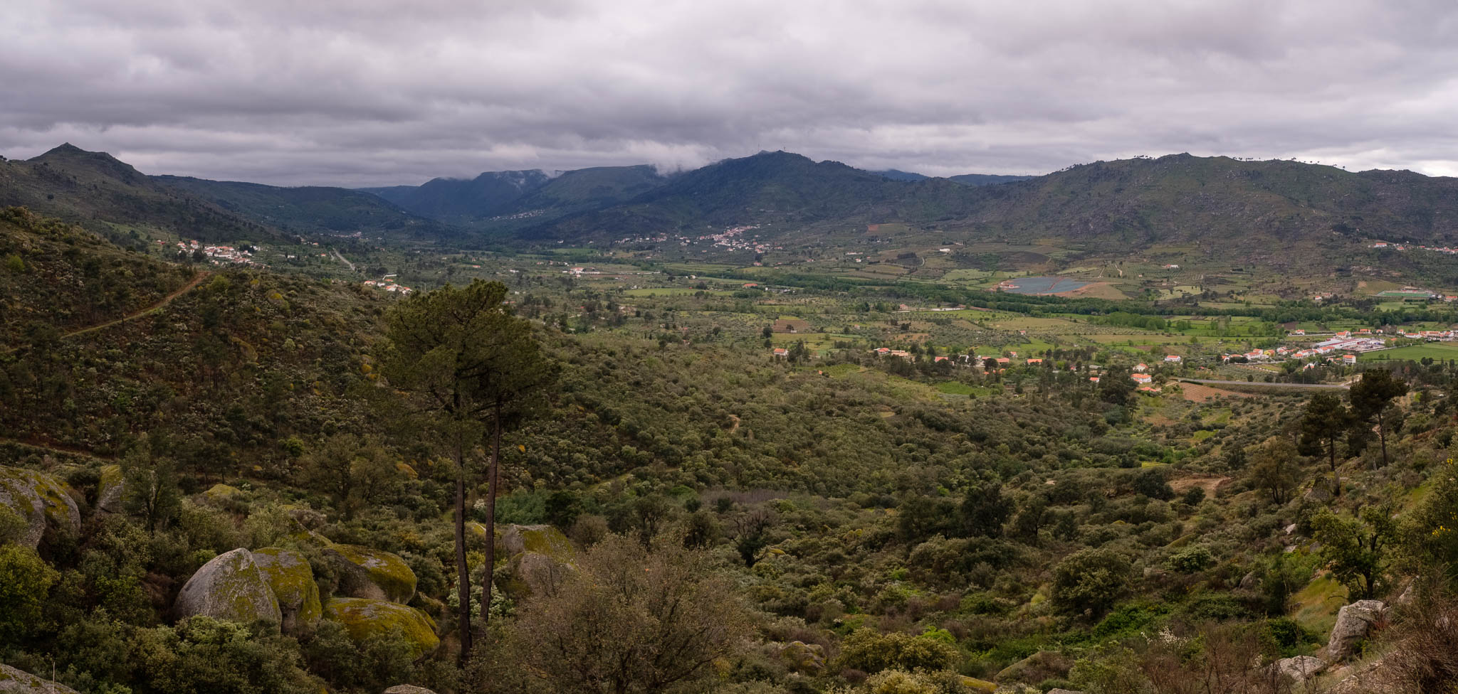
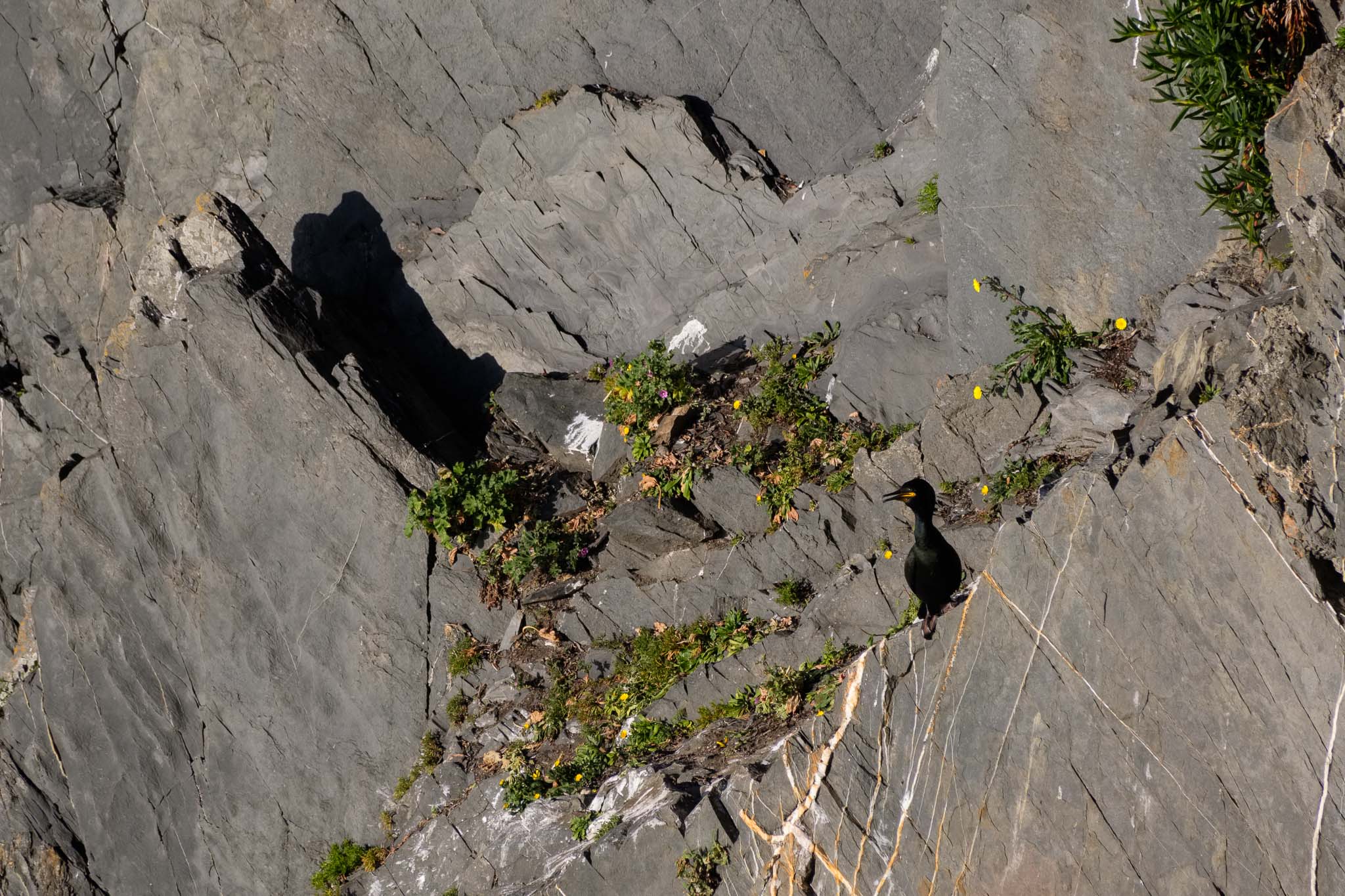
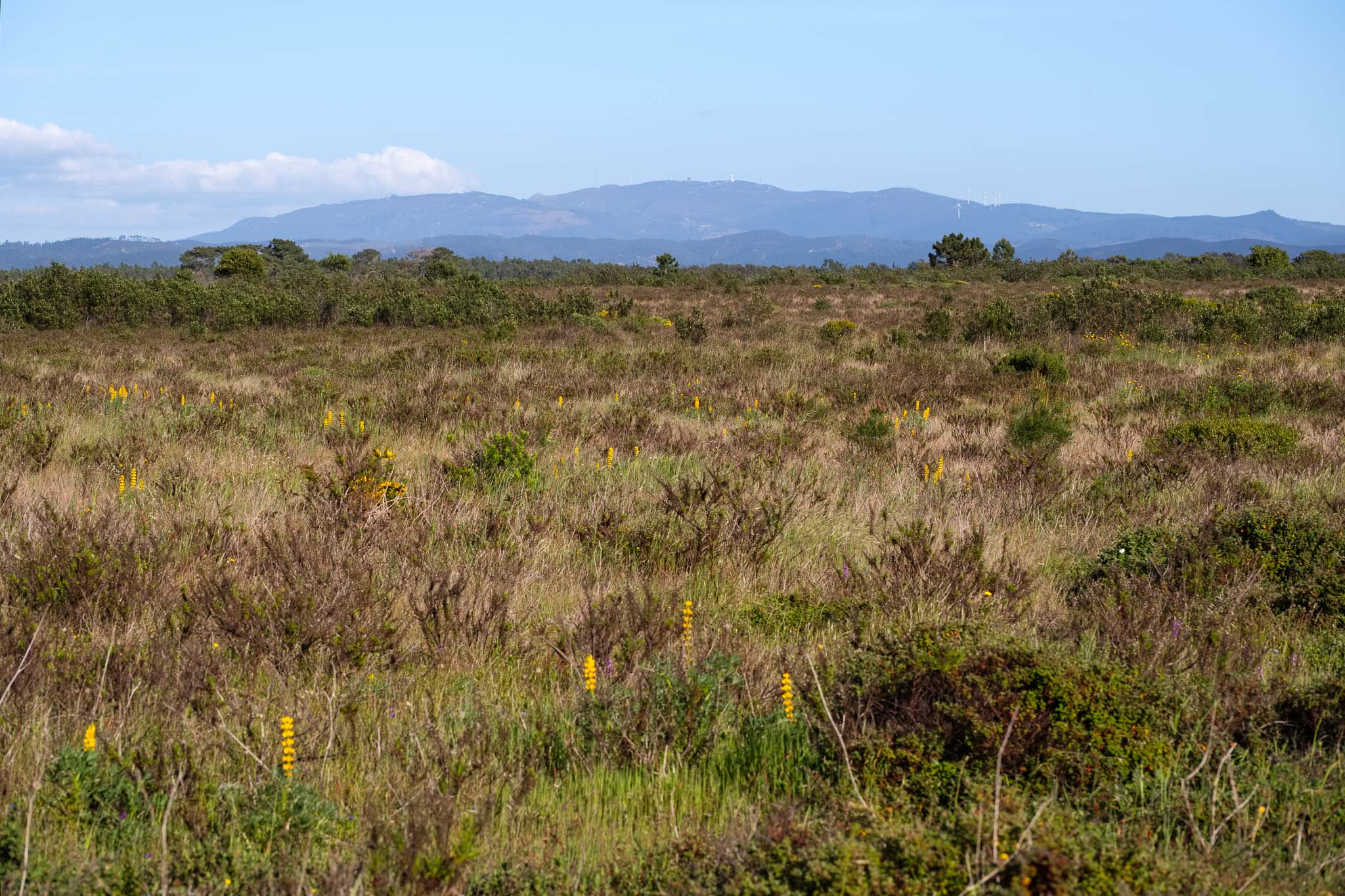
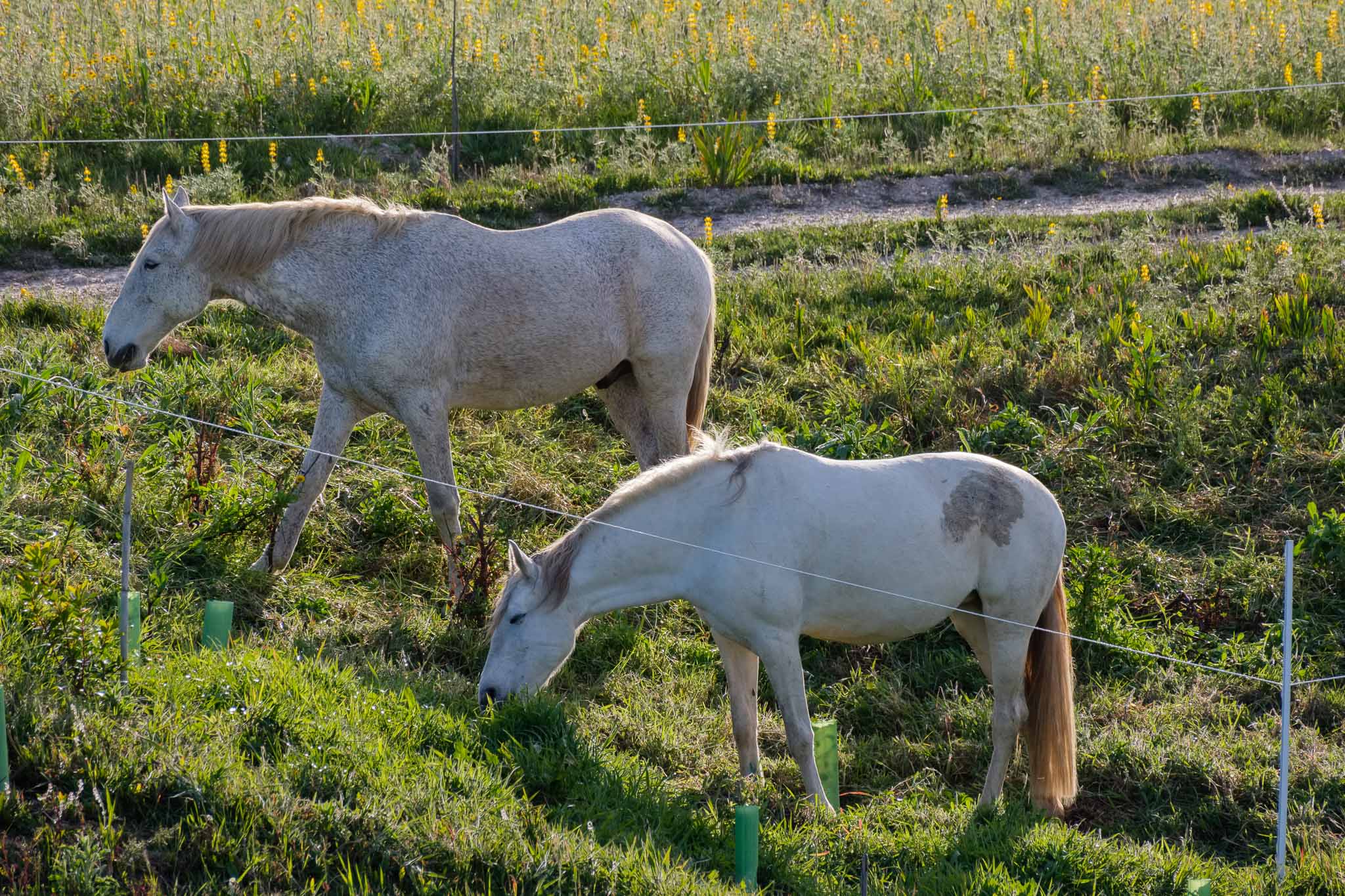
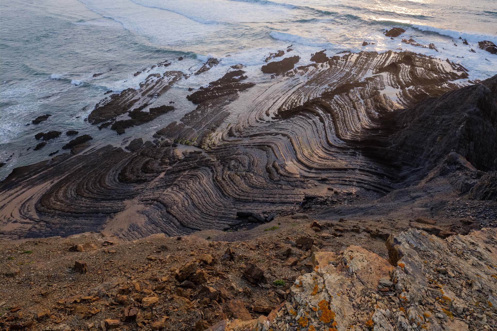
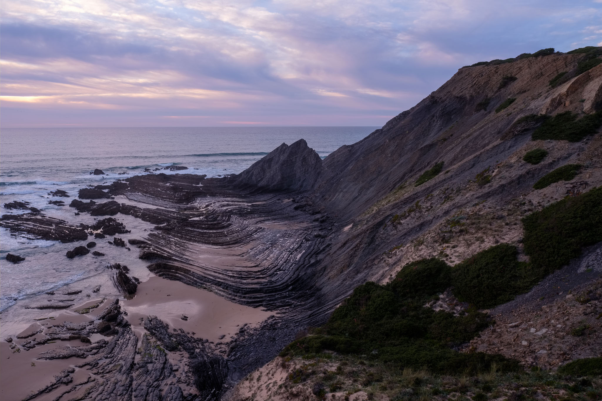
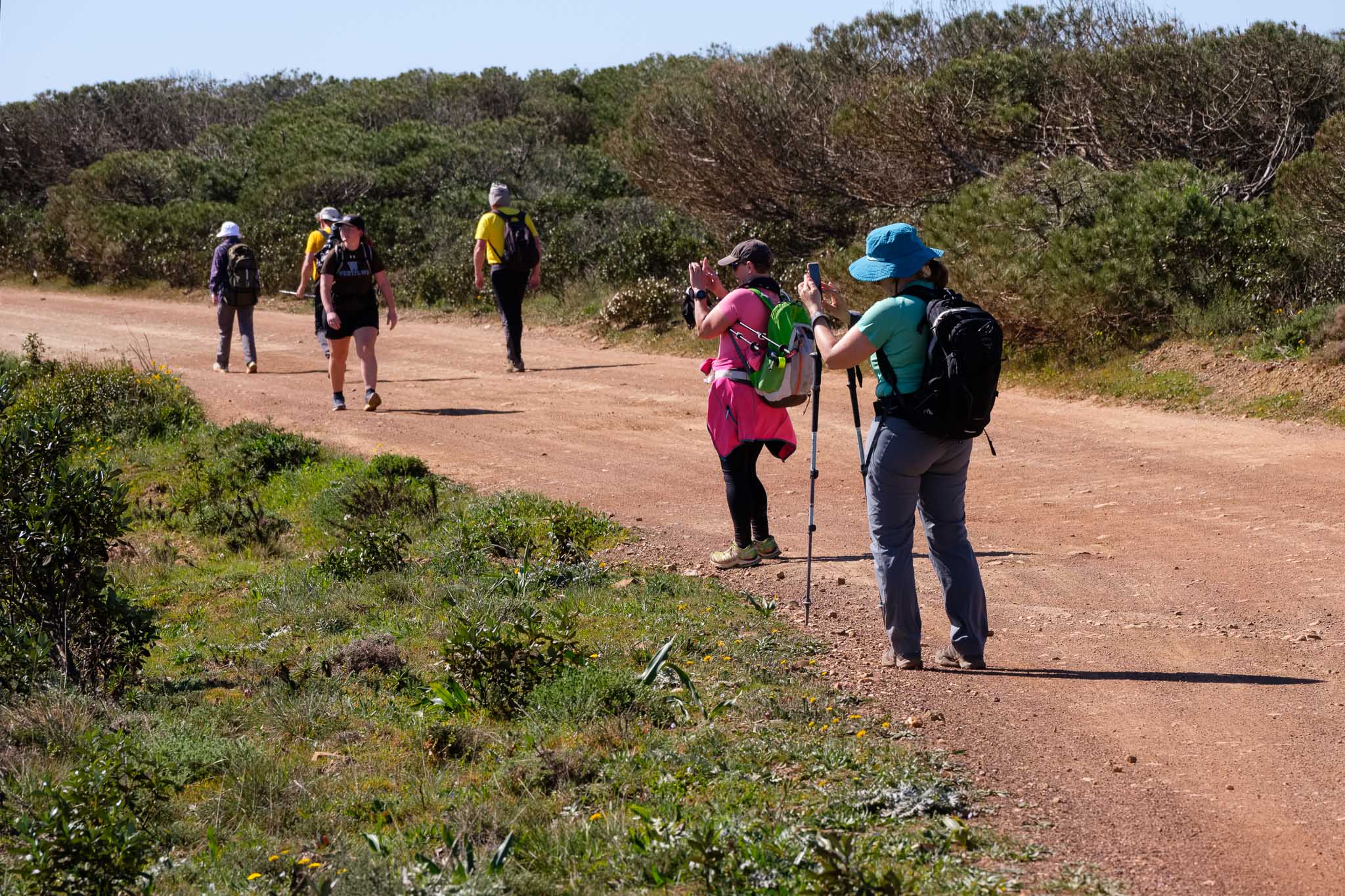
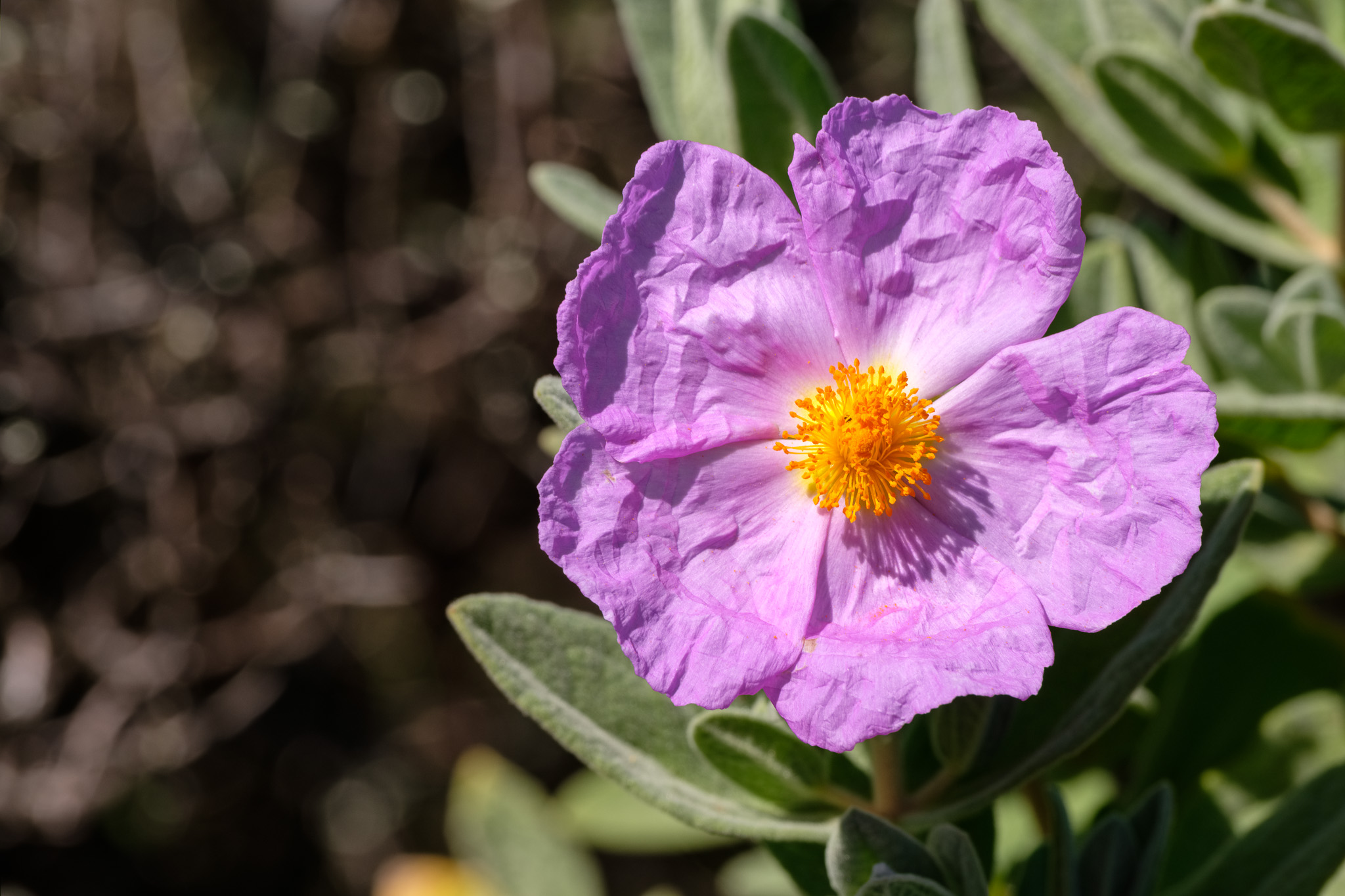
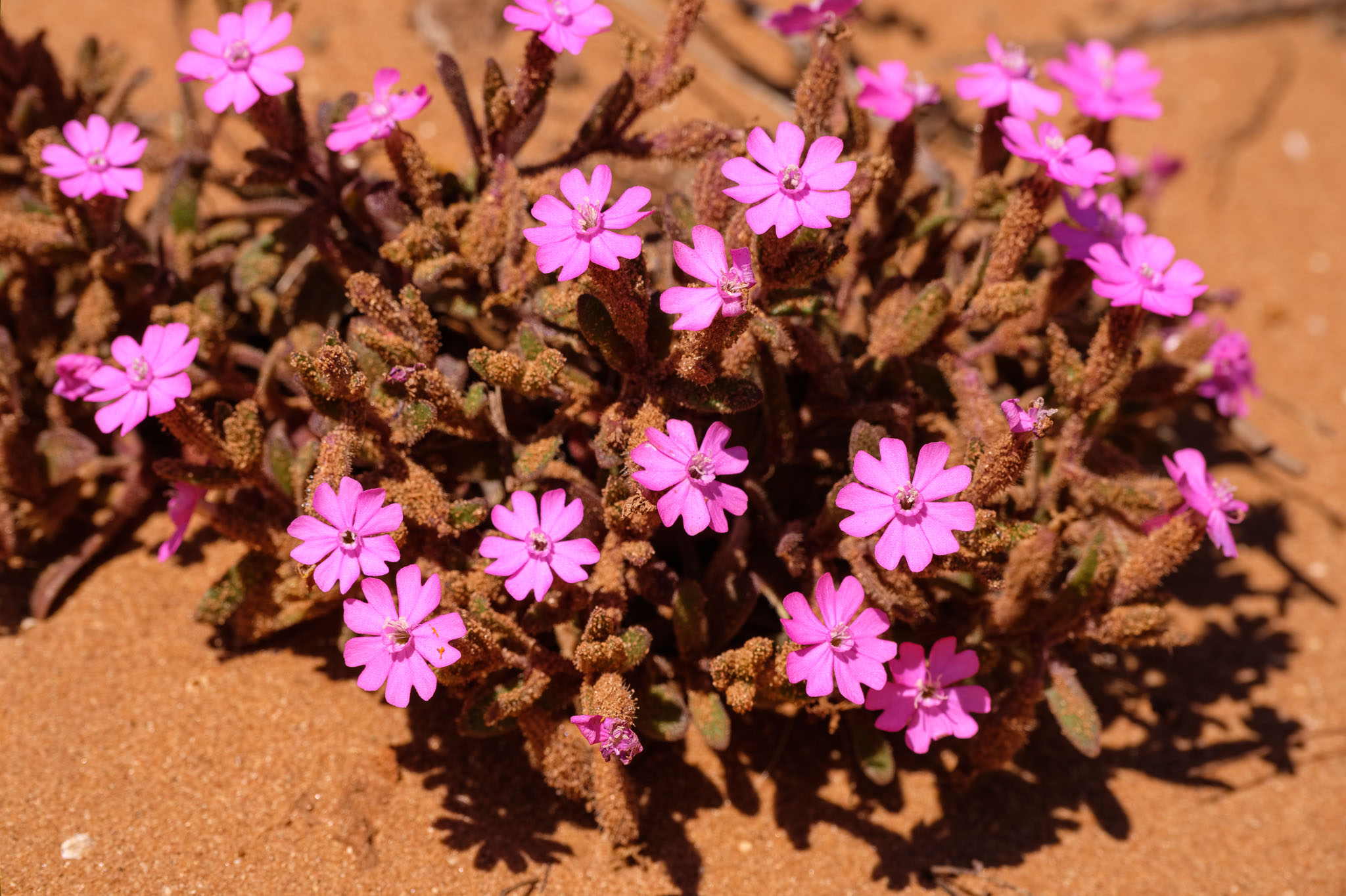
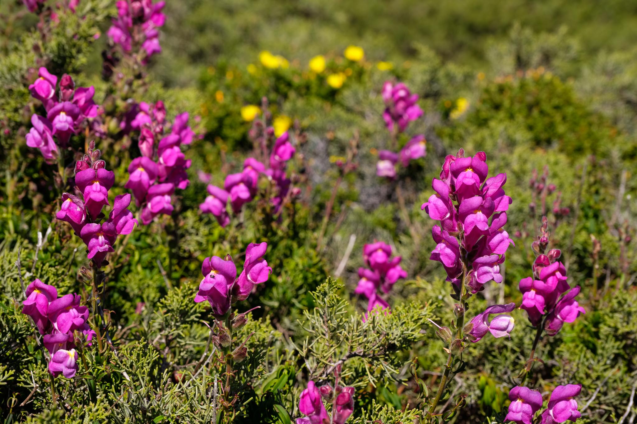
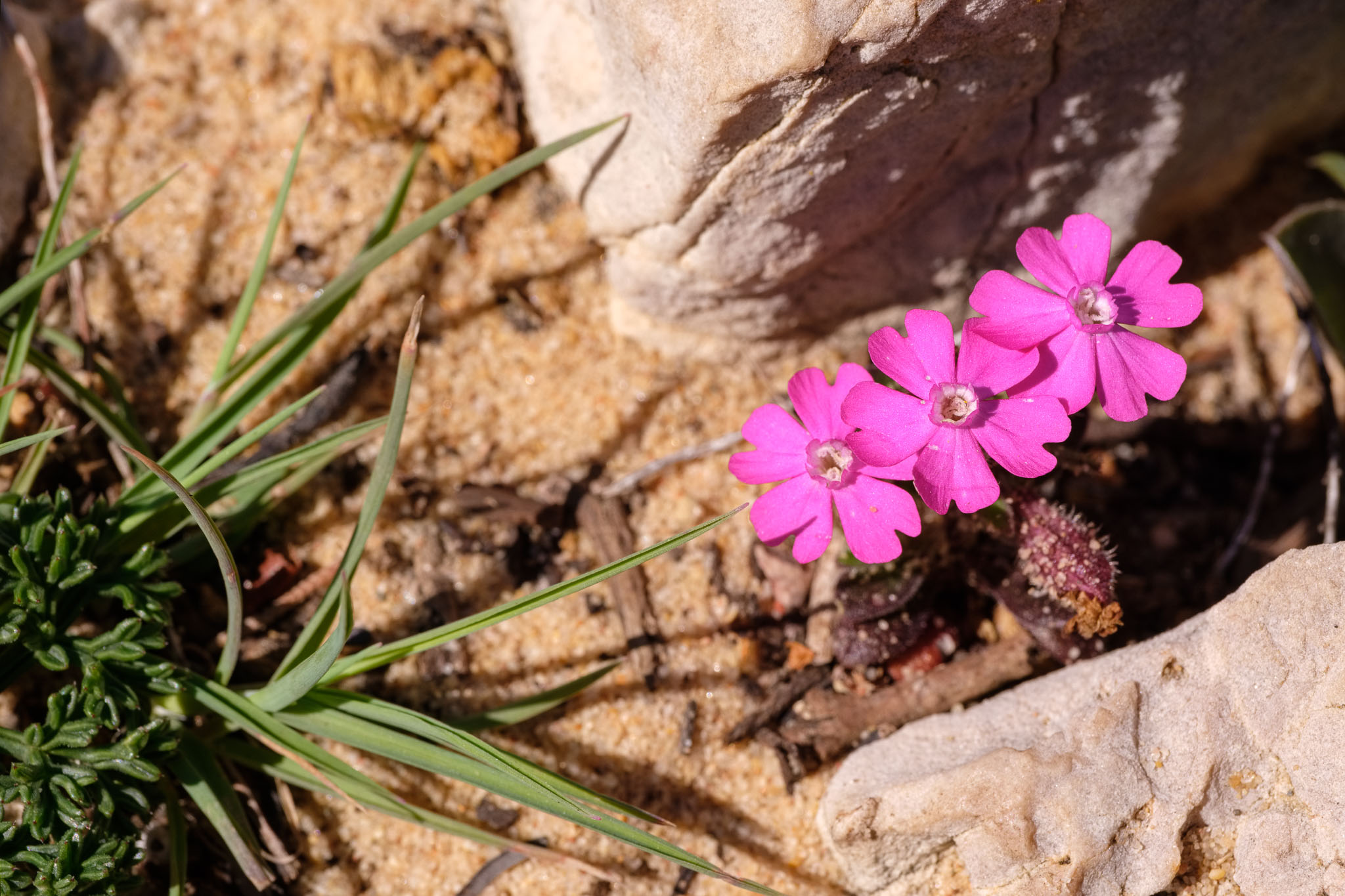
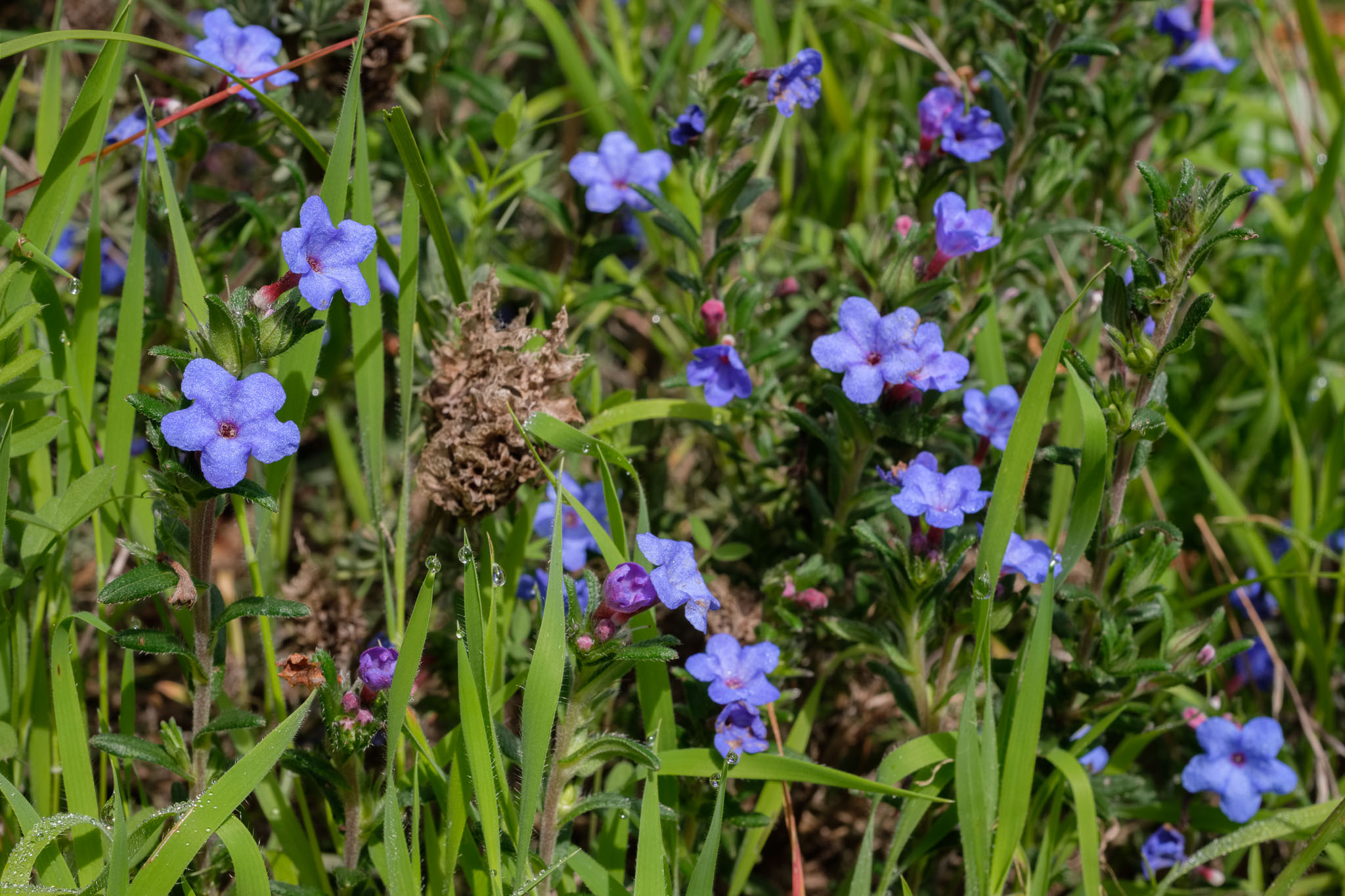
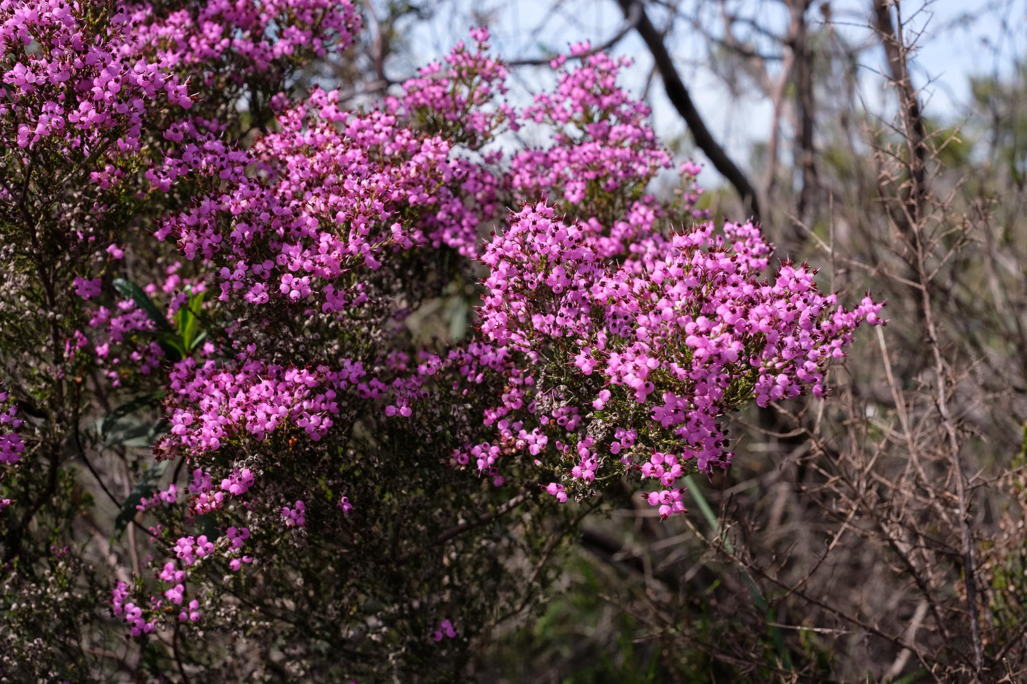
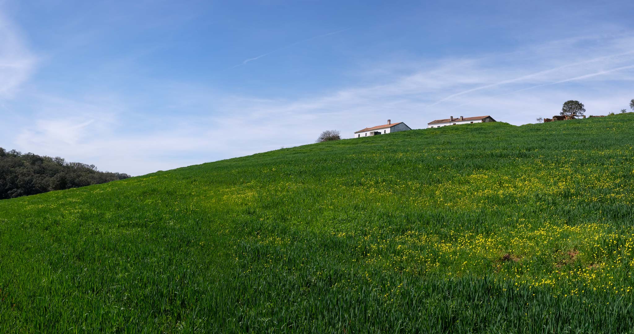
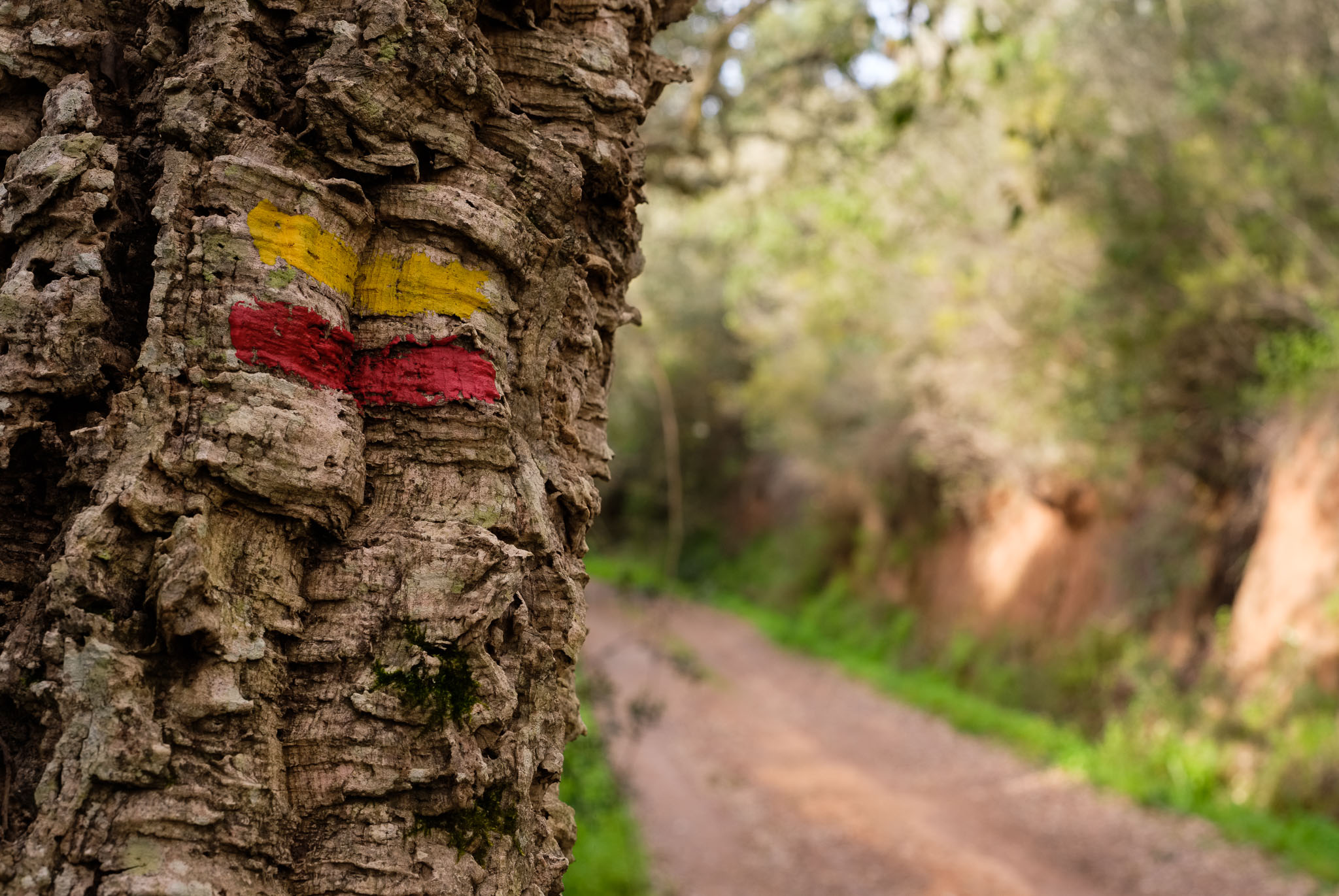
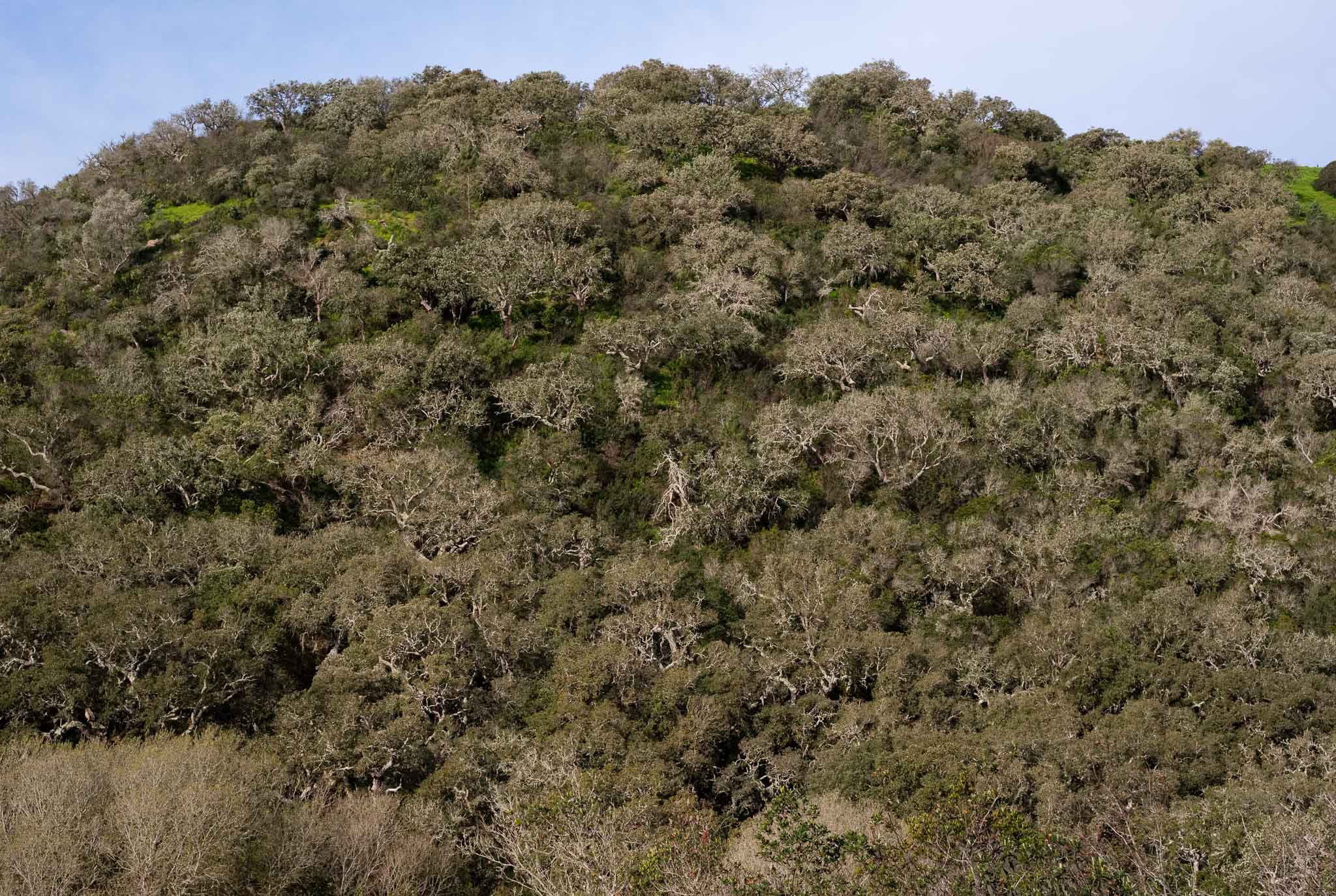
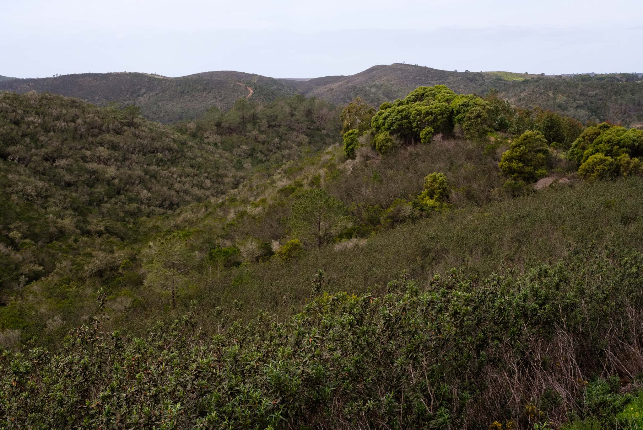
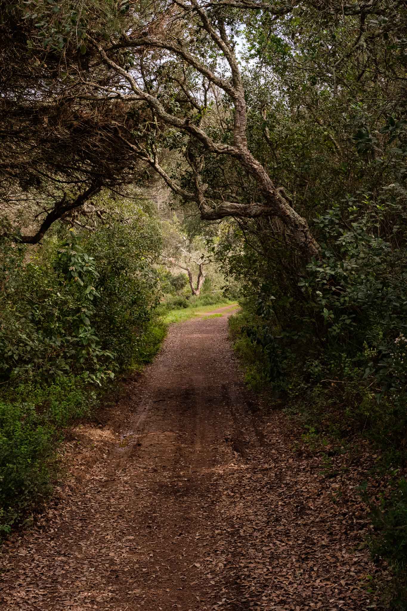
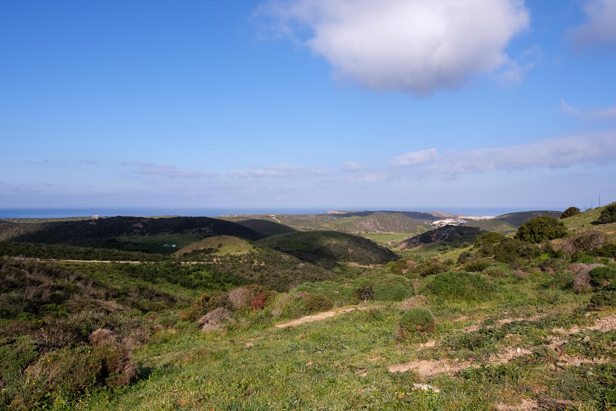
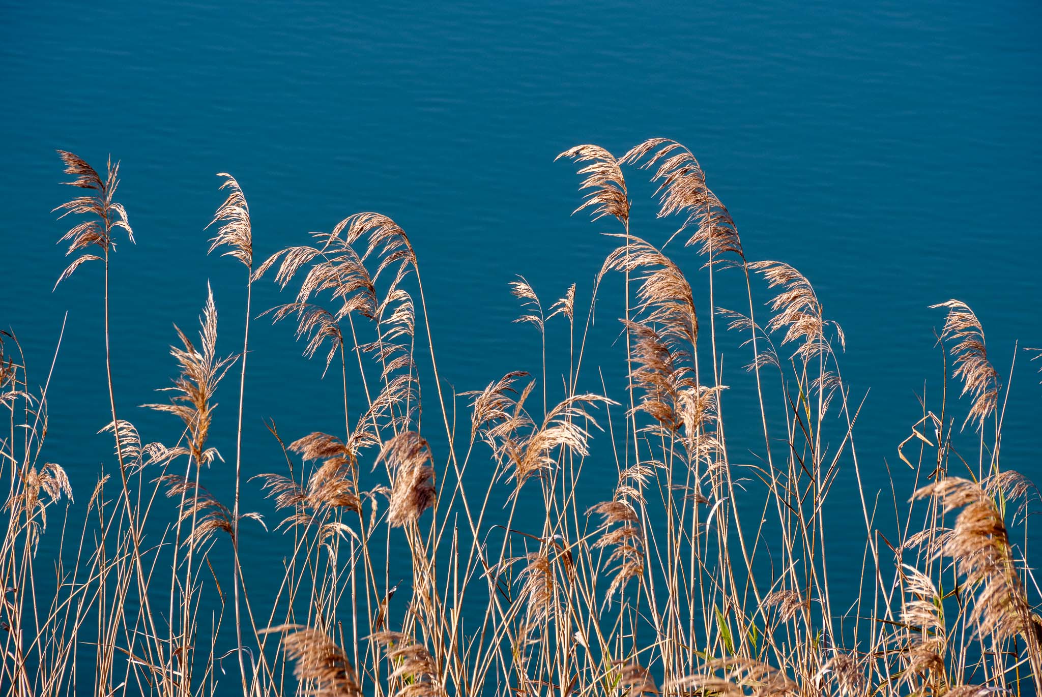
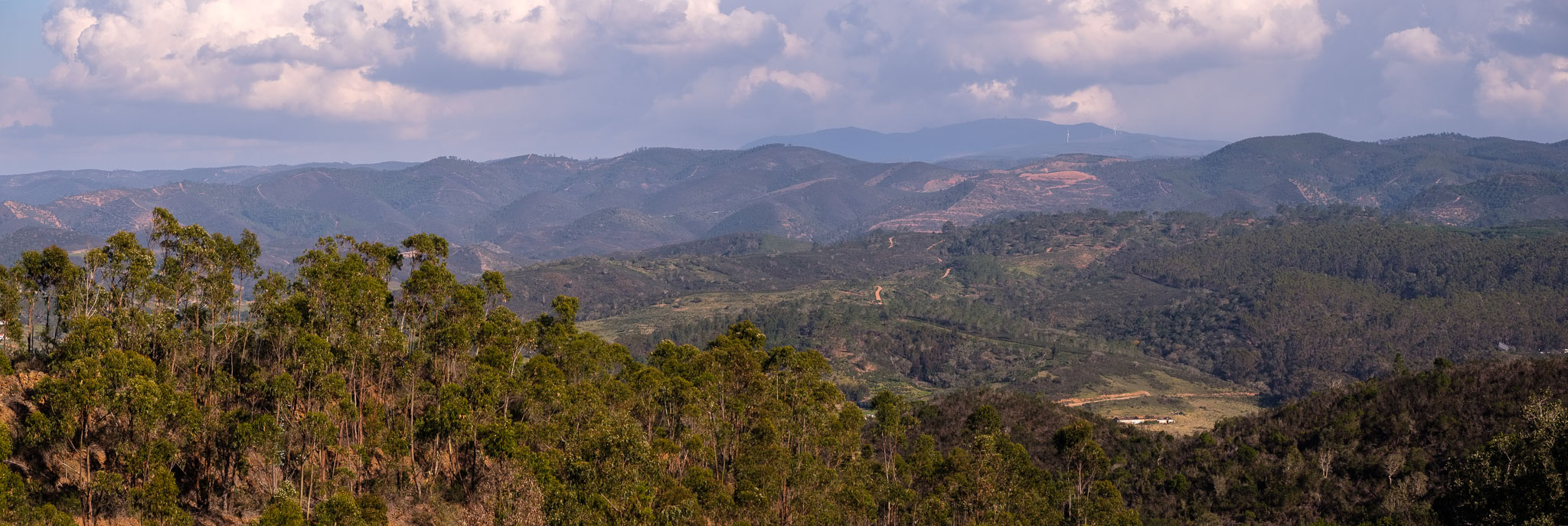
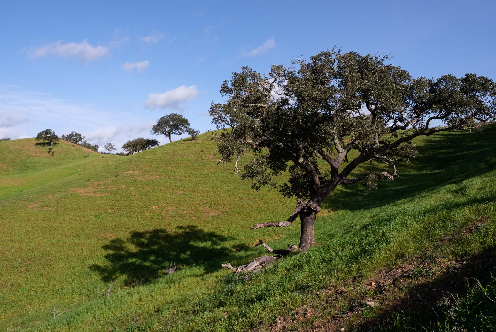
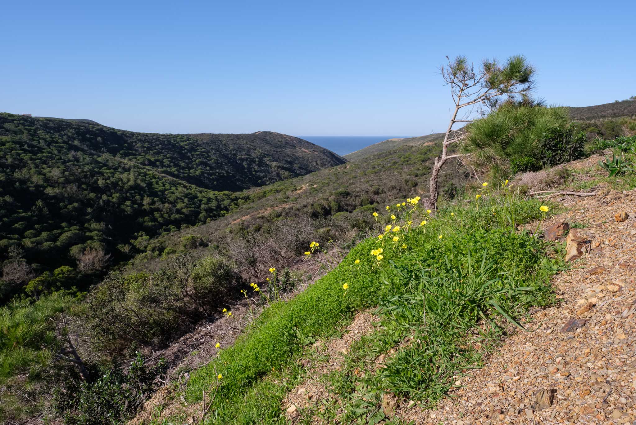
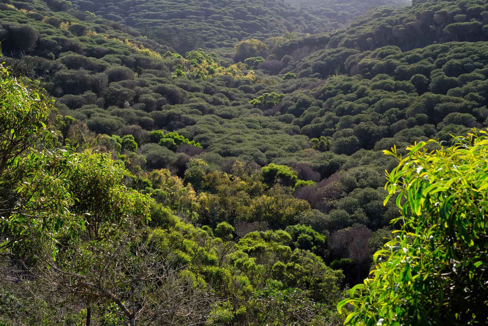
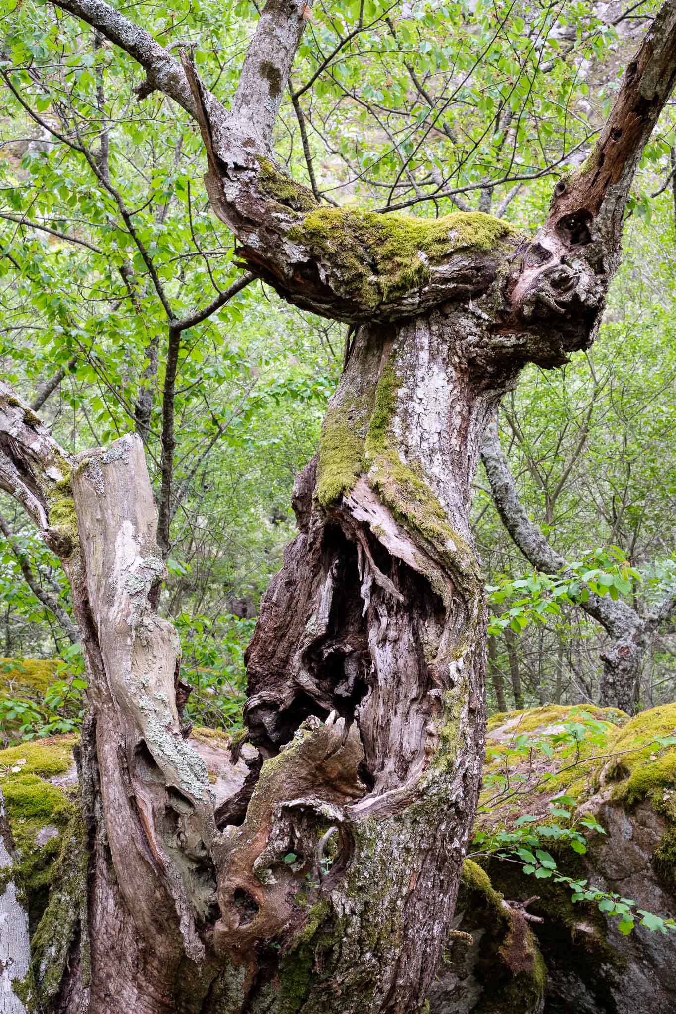
In general, the trail route is a mix of wood walkways and forest paths, and is easy going. There are hardly any other people on the trail, so the tranquility of the mountain prevails. In the more sheltered valley sections the temperature goes up, but sometimes we turn a corner and we can feel the strong and cold wind. It is a good idea to dress in layers and adjust accordingly. In general, when walking in this direction (towards Videmonte), we gain altitude. As the latter increases, the vegetation becomes scarcer, with the trees limited to the vicinity of the river. In the slopes, heather and bush grows among the granite, buffeted by the constant wind. The rocks are often twisted and convoluted, as a result of the action of the tectonic forces that, for millions of years, have shaped these mountains. It is difficult not to stop and take another photo, because the landscape is simply beautiful.
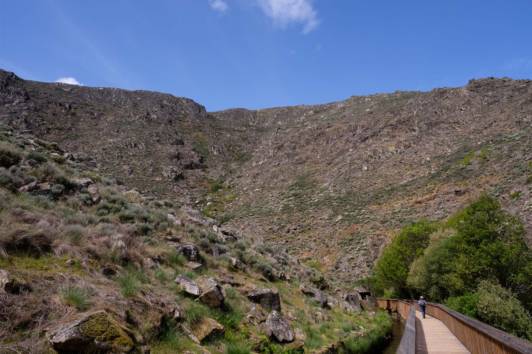
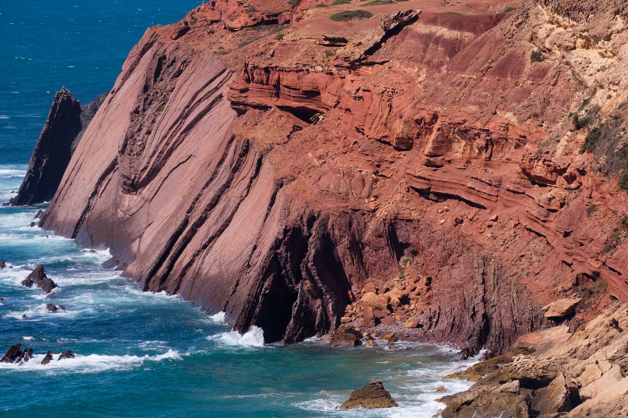
The final stretch of the walk, towards the village of Videmonte, is a long but not too hard climb. For those with a geological inclination, it is well worth spending some time admiring the so-called Videmonte metasediments. These are Paleozoic metamorphic rocks that started their history as sediments in the ocean floor, but were later subjected to extreme pressures and temperatures during a continental collision. Today, we can admire the tightly folded layers of hard rock, that are in places cut by creeks, like in the Moinhos waterfalls.

The trail ends in the car park, and from there you can catch a taxi to the starting point. Normally, there are a few taxis waiting for customers, if not, it is easy enough to call one. My impression at the end of the day was one of gratitude, for being able to visit such a wonderful region in the Serra, where wild beauty still prevails.