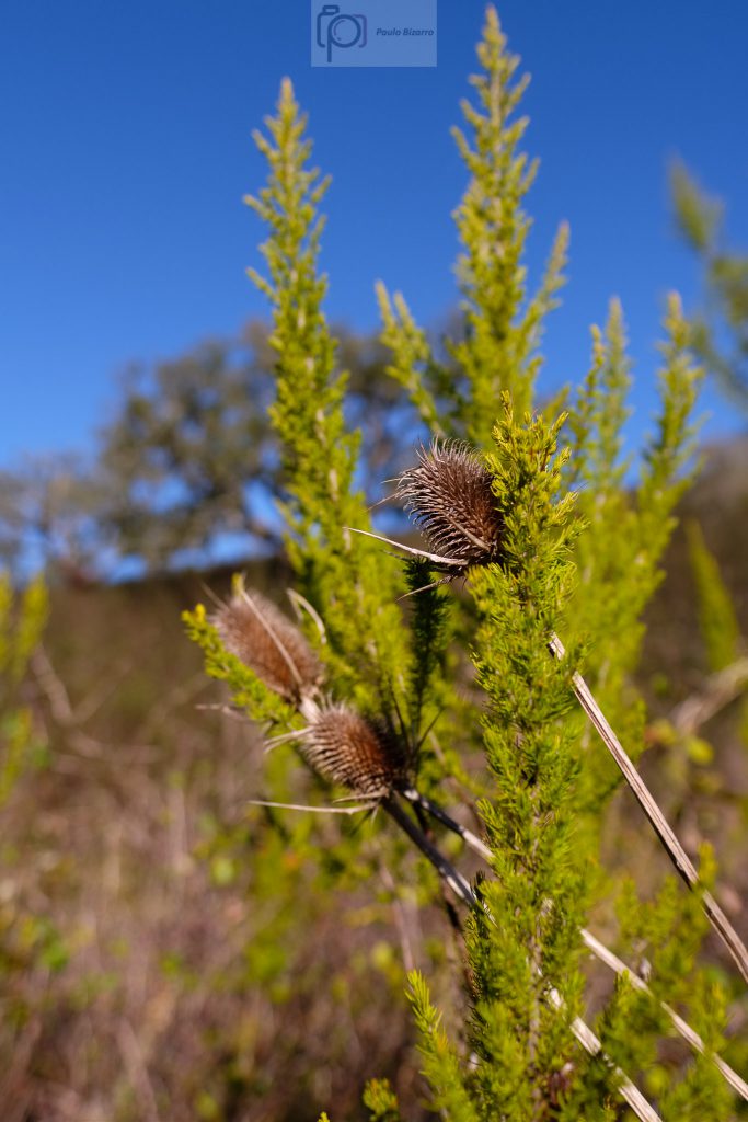
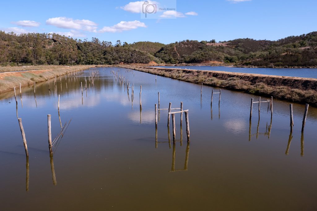
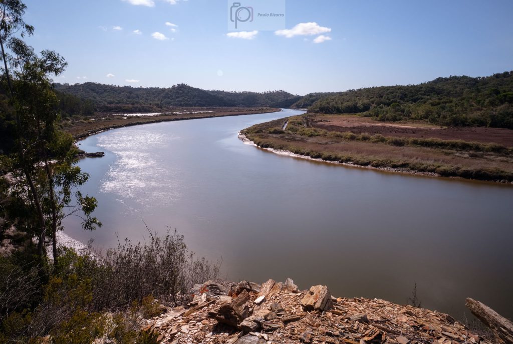
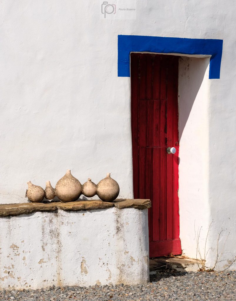
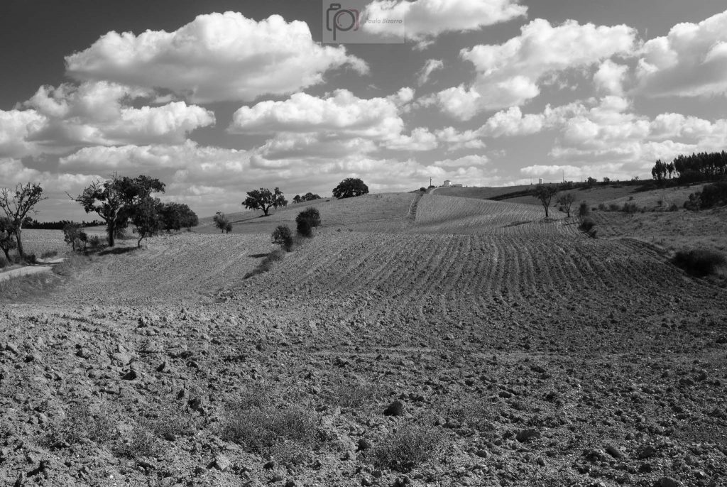
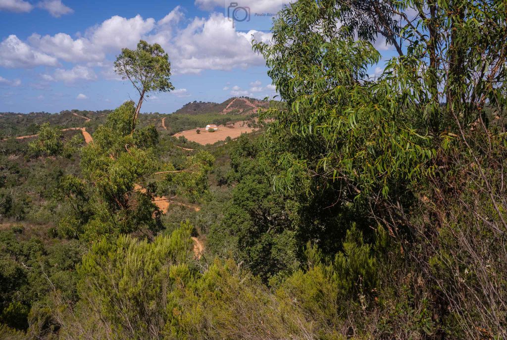
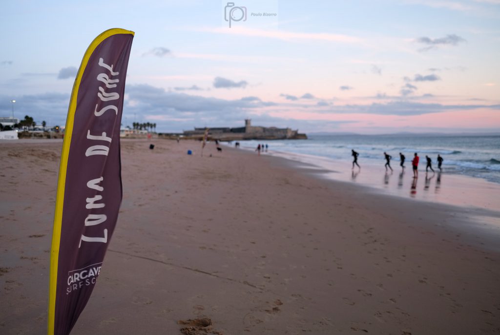
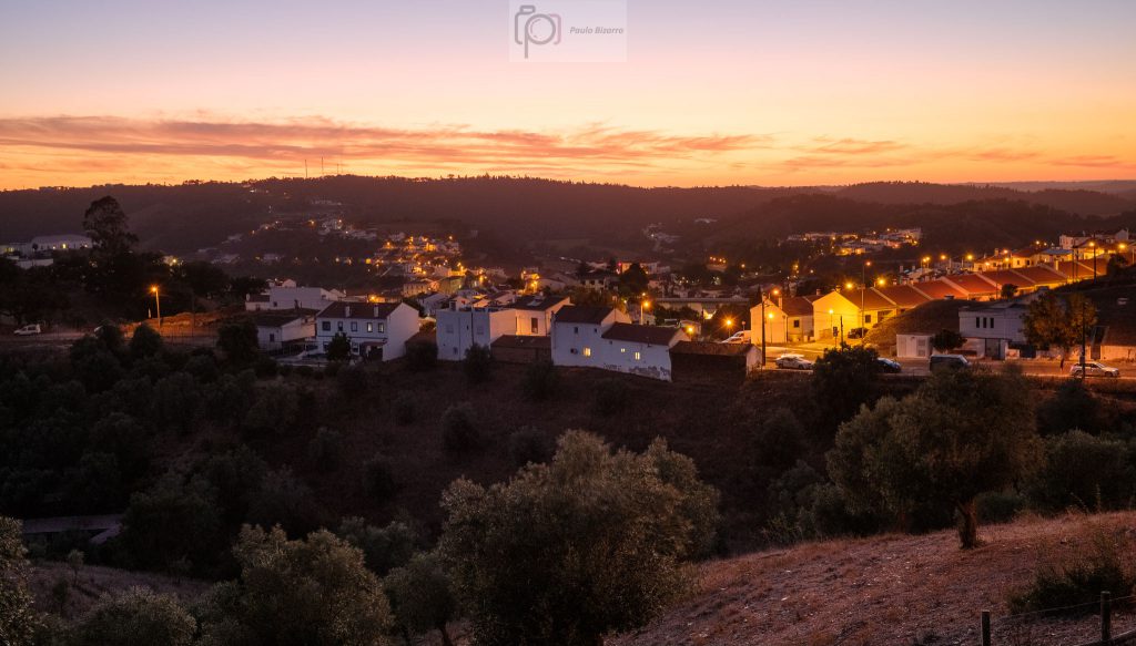
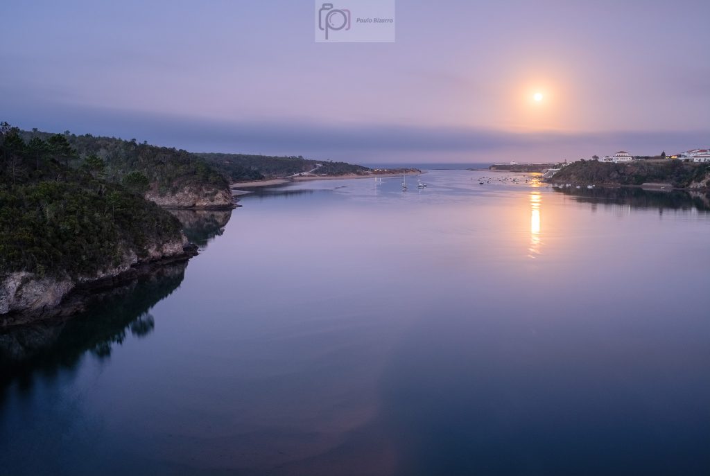
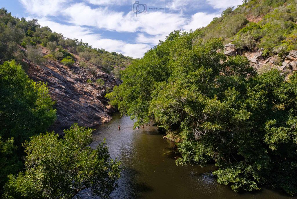
Located at the estuary of the river Mira, Vila Nova de Milfontes is blessed with a beautiful natural setting. Here, the quiet river water reaches the Atlantic surrounded by tree-covered cliffs and golden sand beaches. No wonder that in the last 30 years or so it has become one of the most popular summer vacation destinations. In 2020 the summer was quieter than usual, due to Covid-19, but still there were some people around. Now, at the end of October, Milfontes has returned to the usual tranquility of the other 9 months of the year.
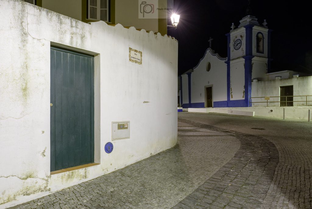
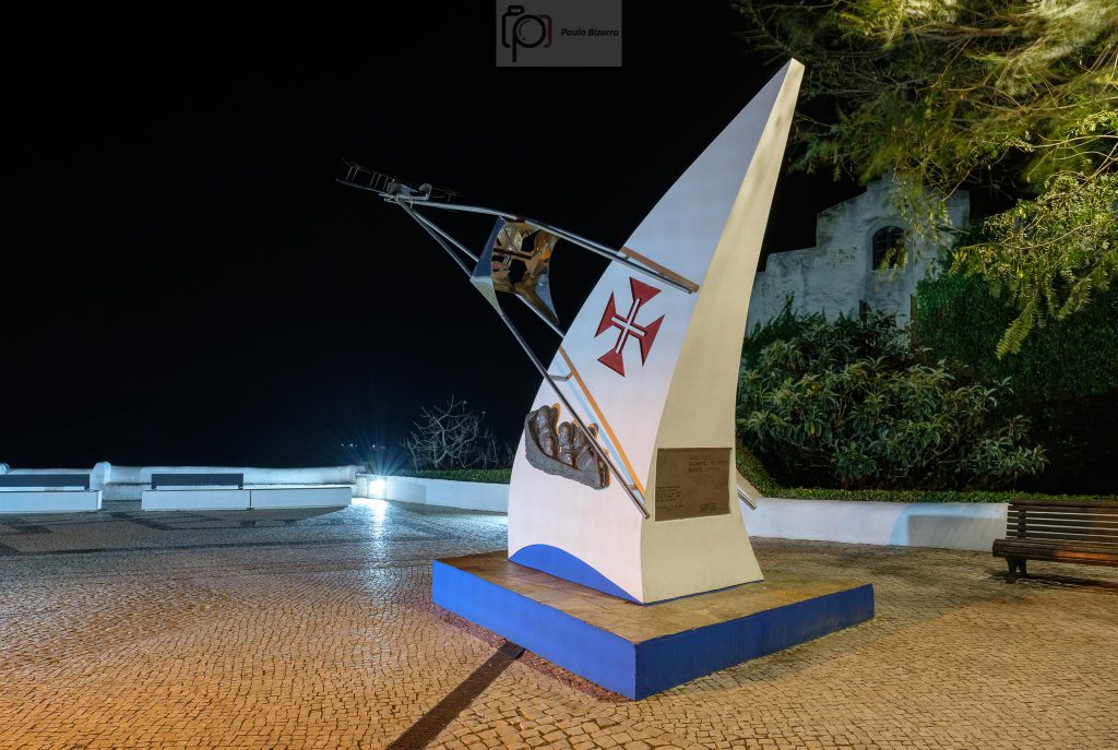
One very early morning (or rather late night?) I picked up my photo backpack and tripod and headed over to the village to make some night and sunrise photos. There are several interesting monuments and places that portray a different feel at night, and I wanted to capture that. The old church, the XVI century fort overlooking the estuary, and some architectural details, all make interesting subjects. Another highlight is the monument that commemorates the first airplane voyage between Portugal and Macau; on the 2nd of April of 1924, Brito Paes and Sarmento Beires took off from Milfontes in a risky endeavour. Two planes and 16,380 km later, they reached their destination on the 23rd of June.
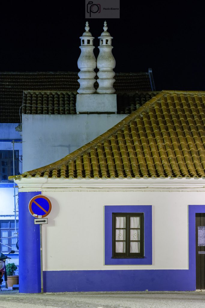
Walking down the street to the river, I made photos of all these subjects, which at night display a different charater.
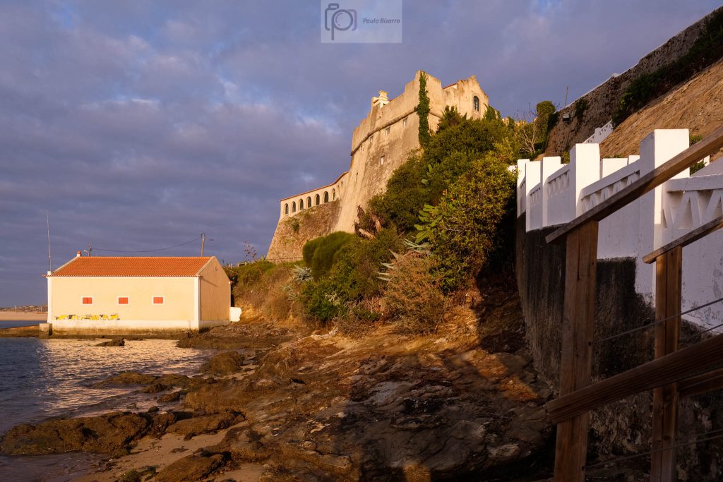
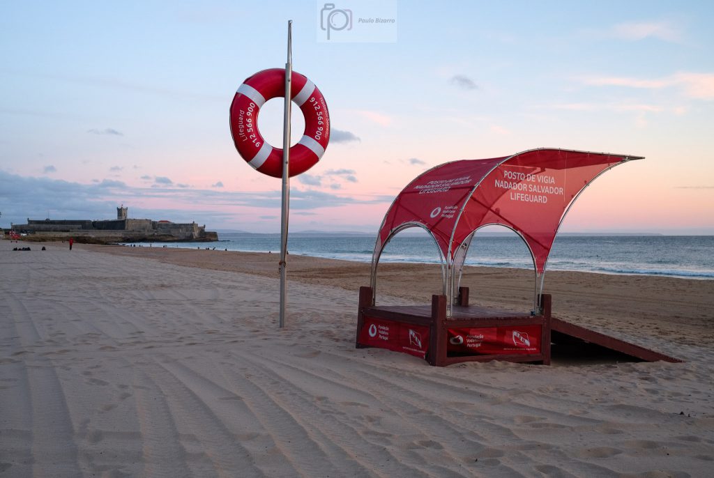
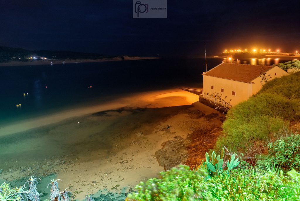
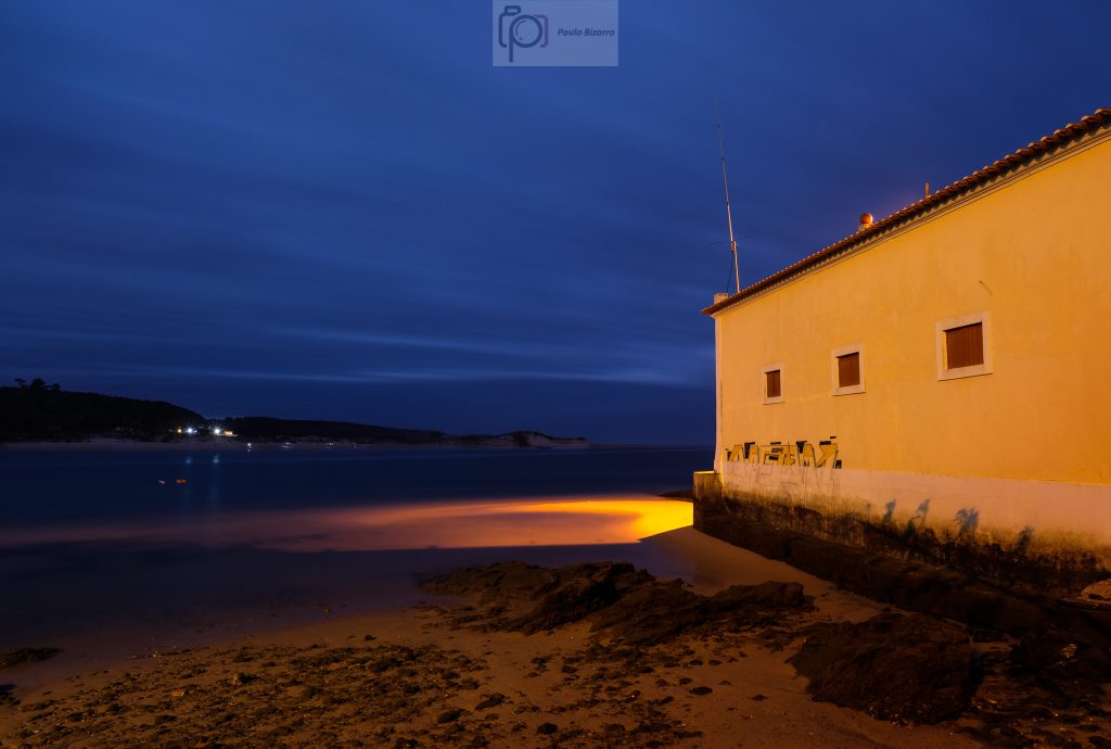
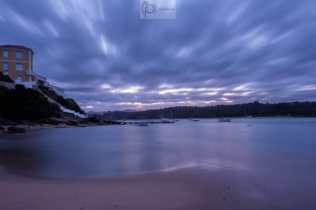
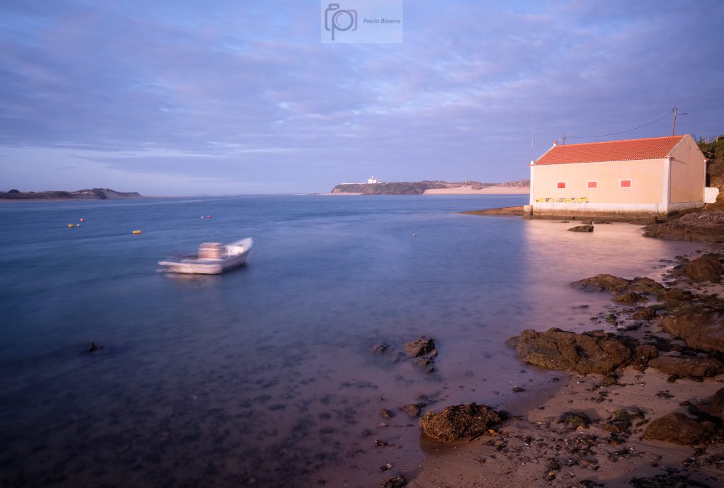
The little square in front of the castle provides one of the most popular views over the river and the sea. At night, the illumination was provided by the artificial lights, which turned out quite nice on the water and the lifeguard building below.
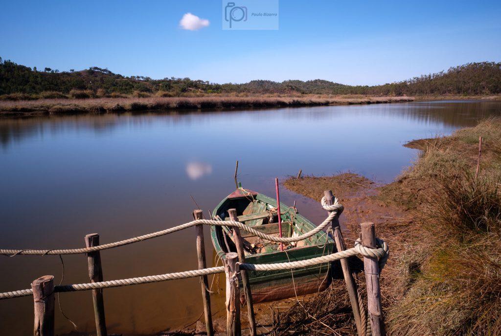
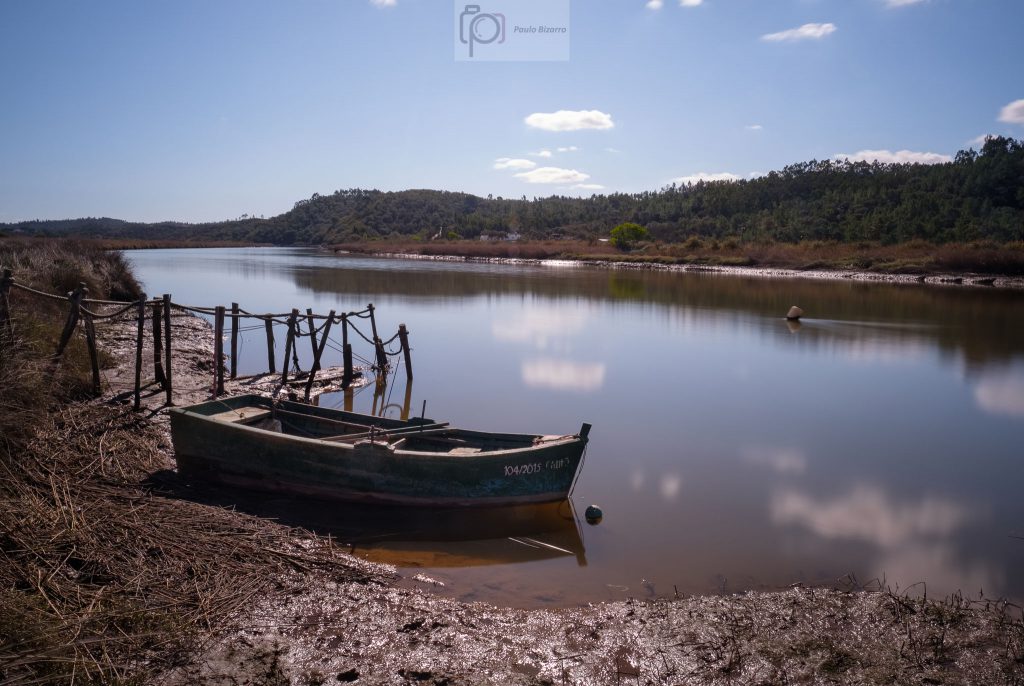
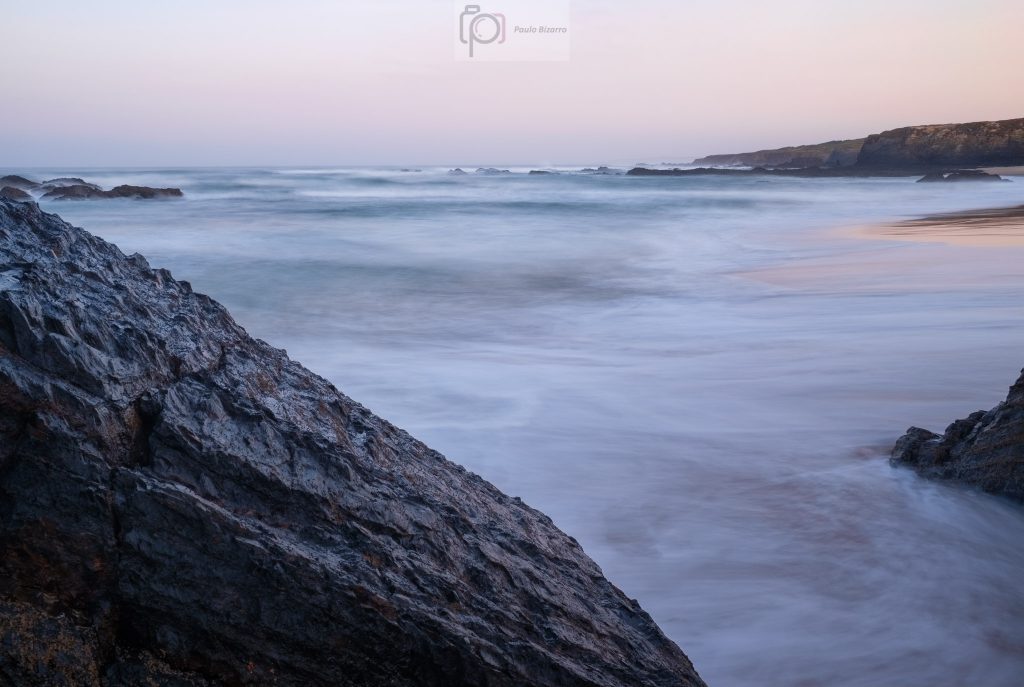
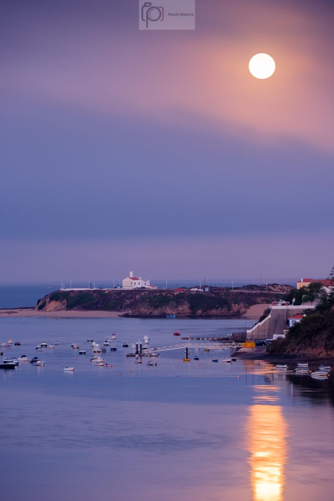
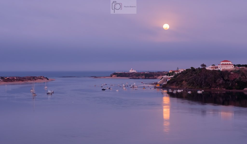
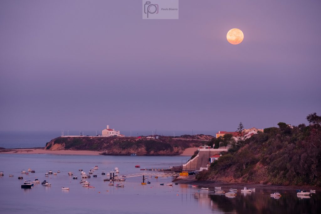
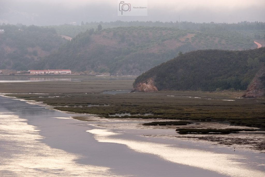
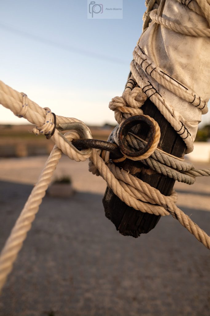
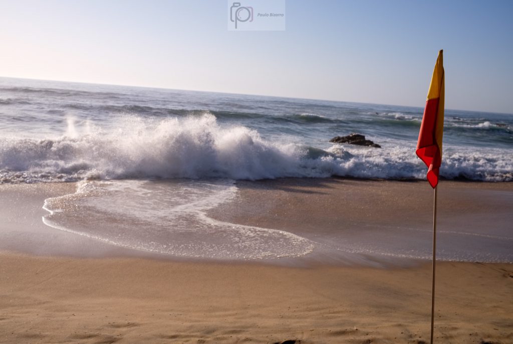
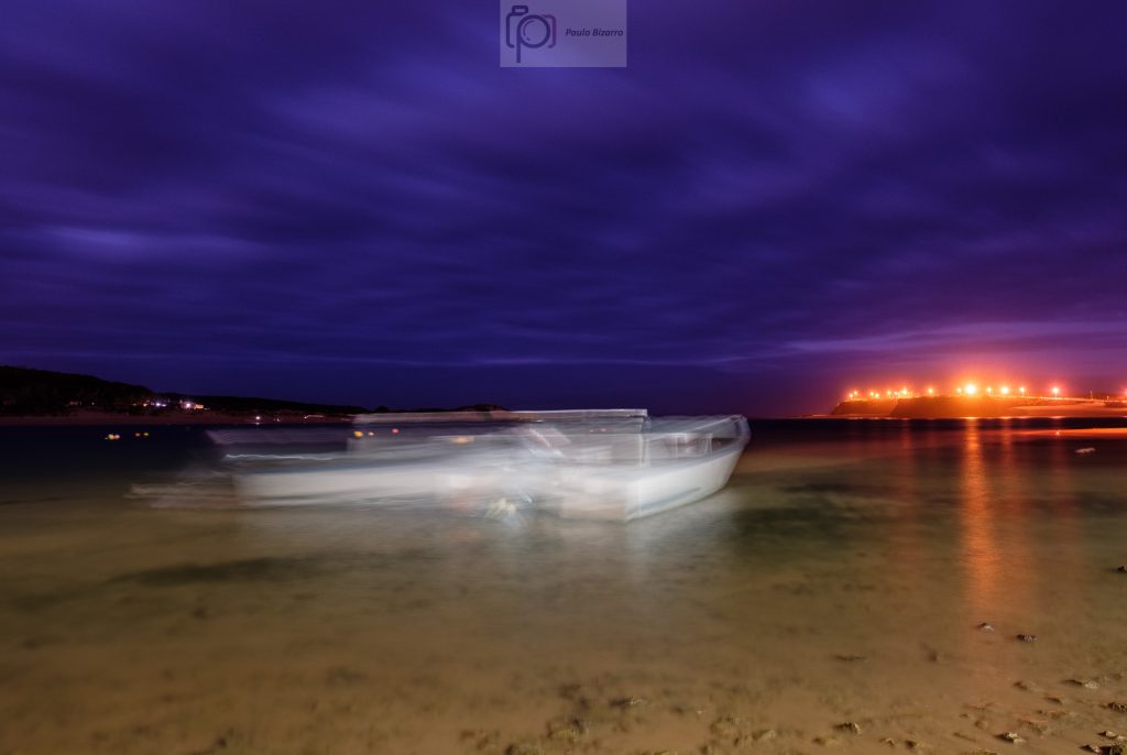
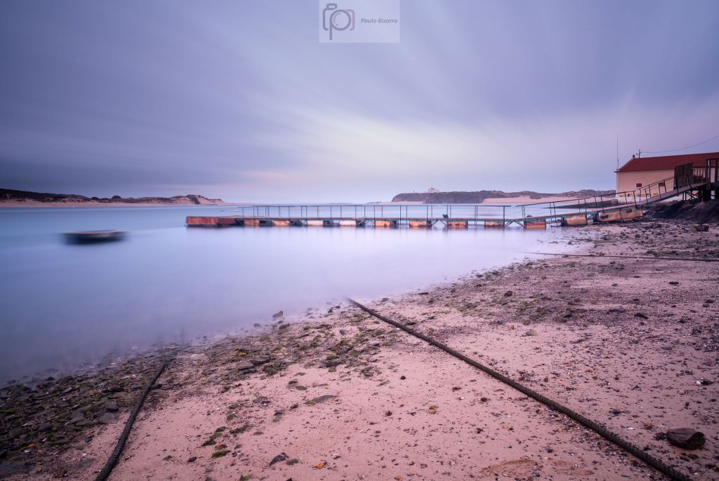
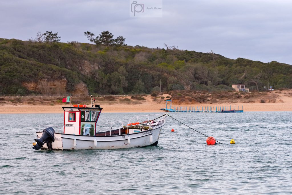
There was a low tide, so I walked down to the beach and made several photos of the boats and the landscape. Due to the low light levels, exposure times were quite long, resulting in subject movement on the boats and some good colour and detail in the cloudy sky.
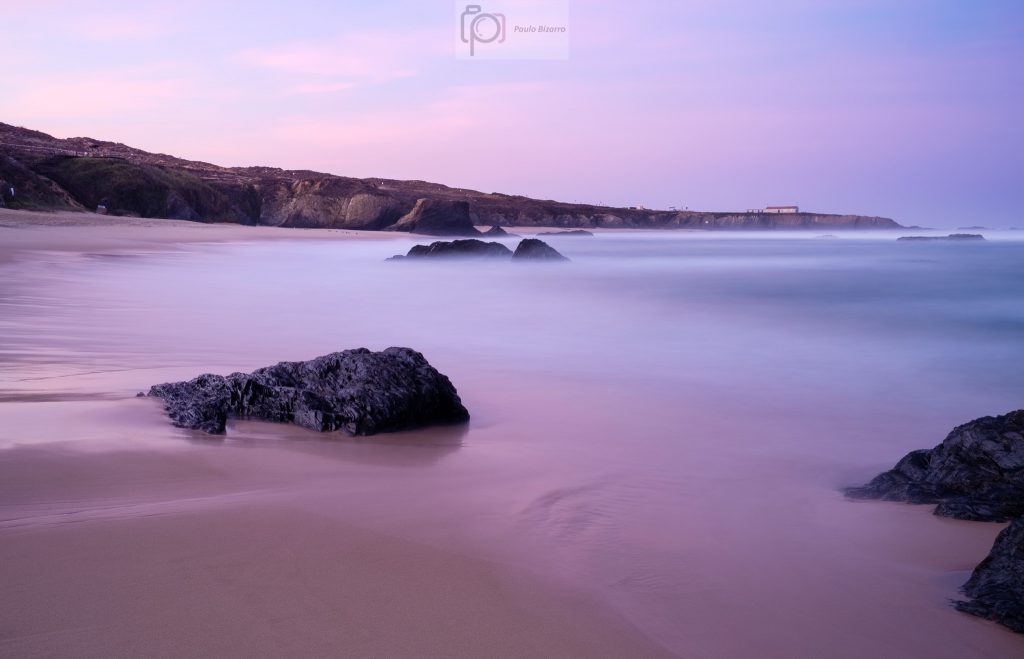
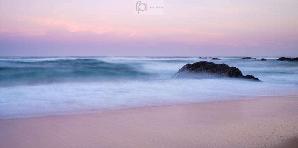
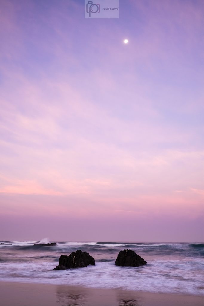
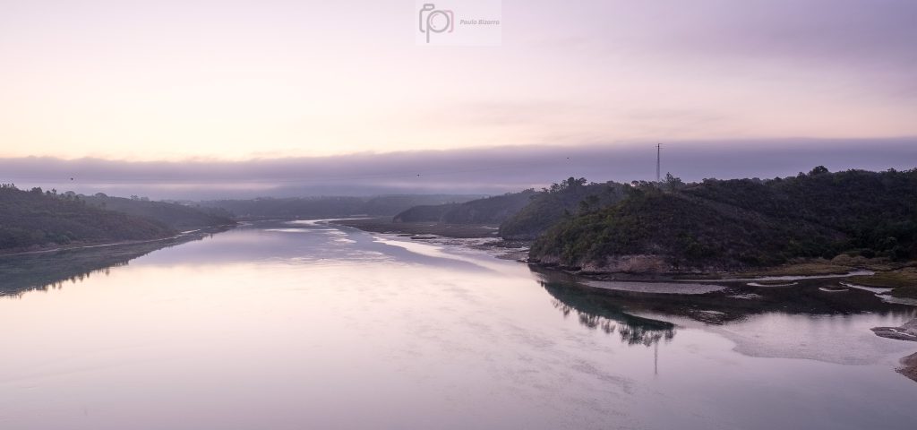
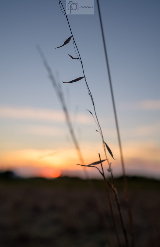
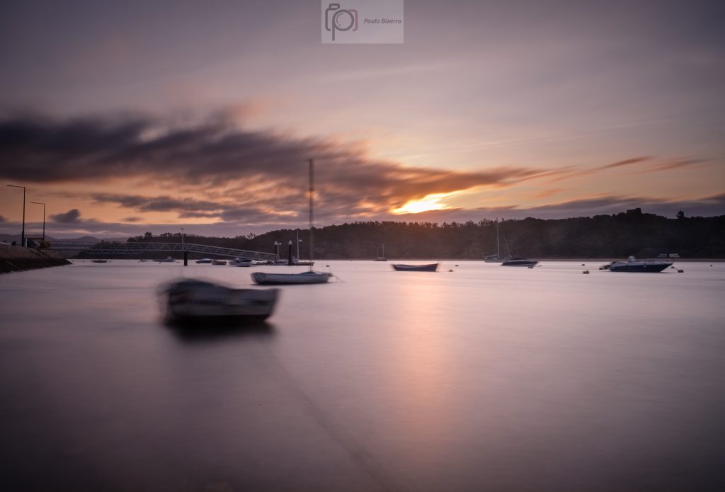
The first light of dawn was appearing in the East. The clouds, sky, and fishing boats provided some really nice compositions. I was quite busy making a lot of photos during this period. Including a 15 minute exposure!
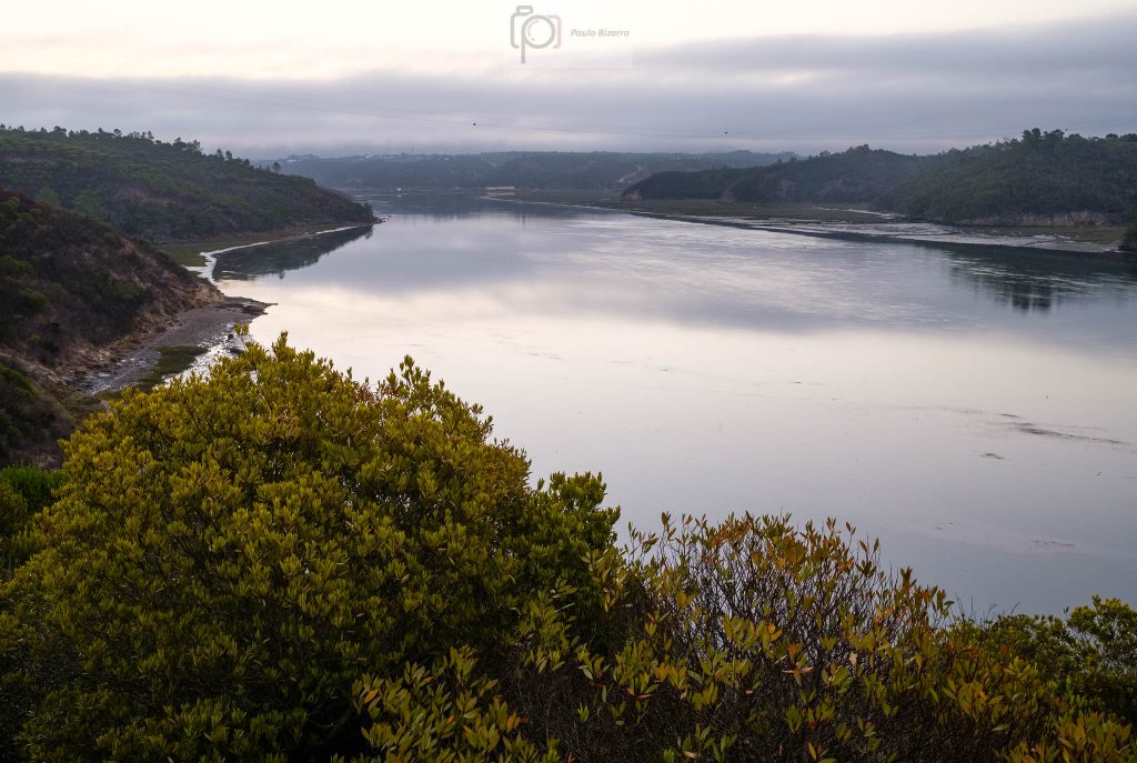
During this transition between night and day, the light was changing very fast, so every minute the landscape was presenting different aspects. These were typical blue hour light conditions, where landscape photographers need to work fast to catch the light at its best.
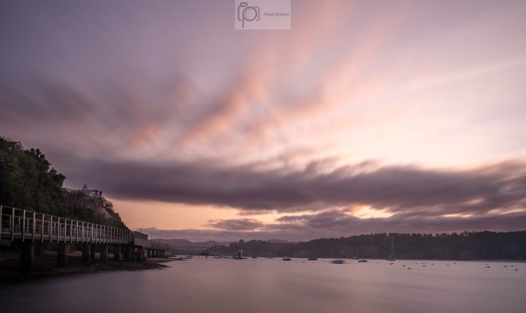
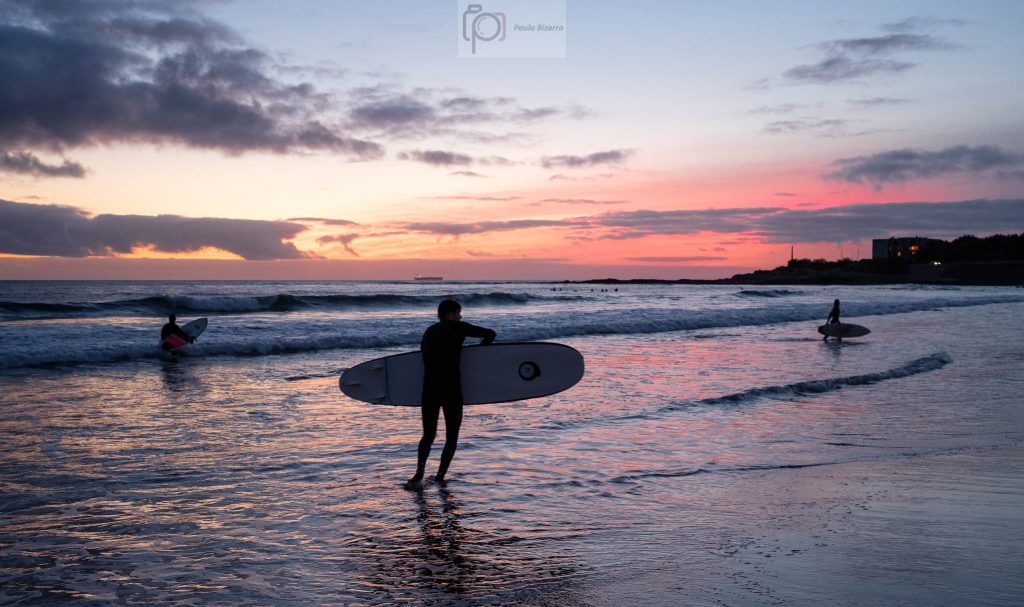
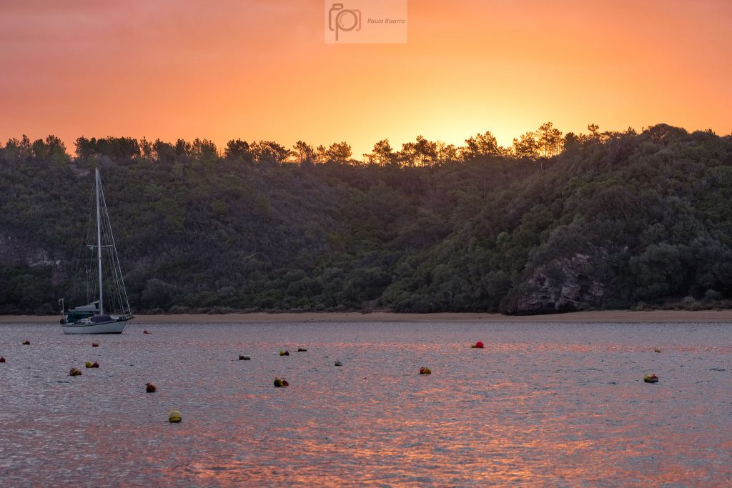
Looking over my shoulder I noticed the clouds in the sky turning into a fiery orange. This only lasted for a few seconds, but I managed to make a few photos. What a fantastic light that was!
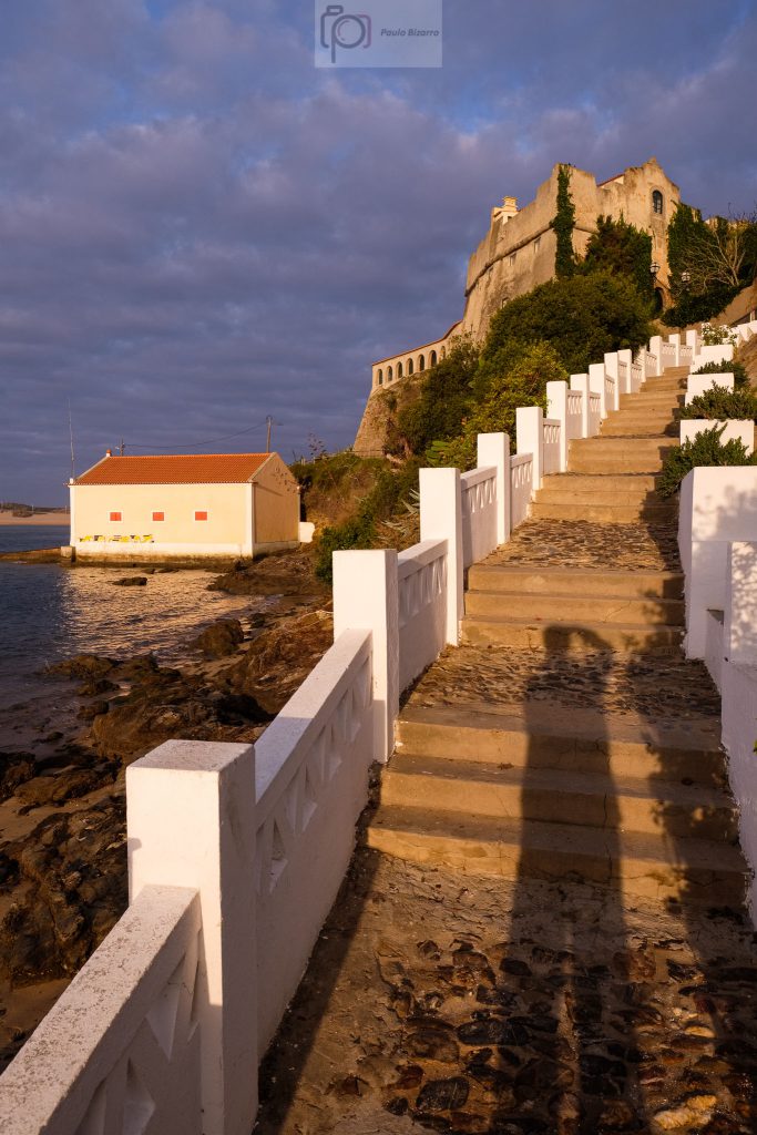
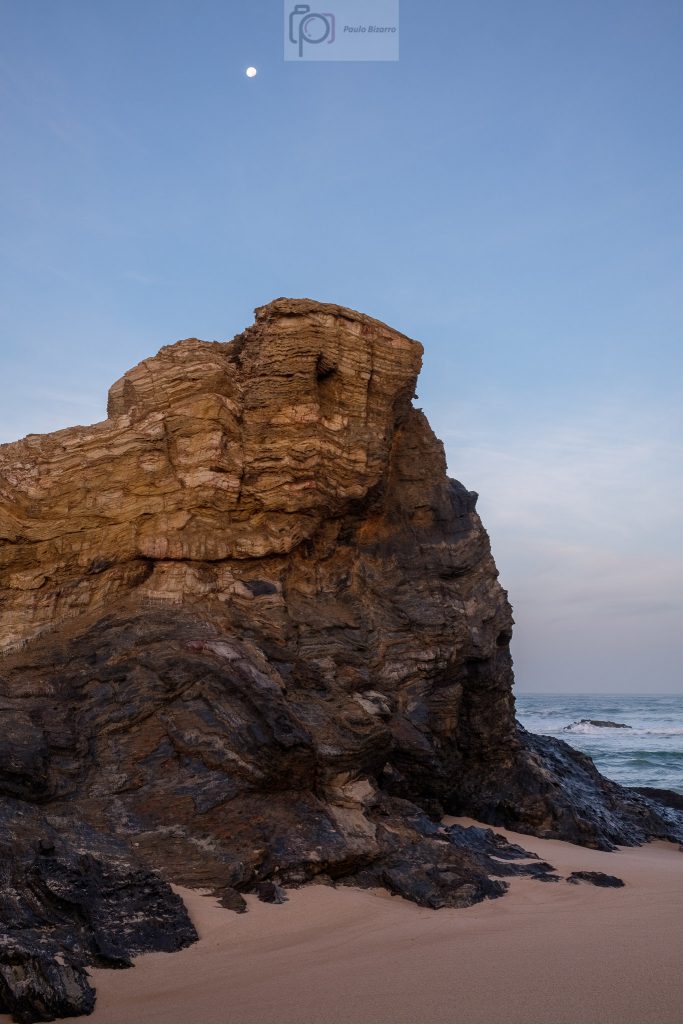
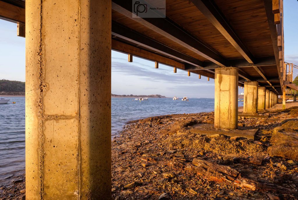
Once the Sun broke through, the area became bathed with golden light and long shadows. Since the tide was low, I was able to walk under the coastal walkway. I made a few more photos, including the walkway itself, and the moored boats.
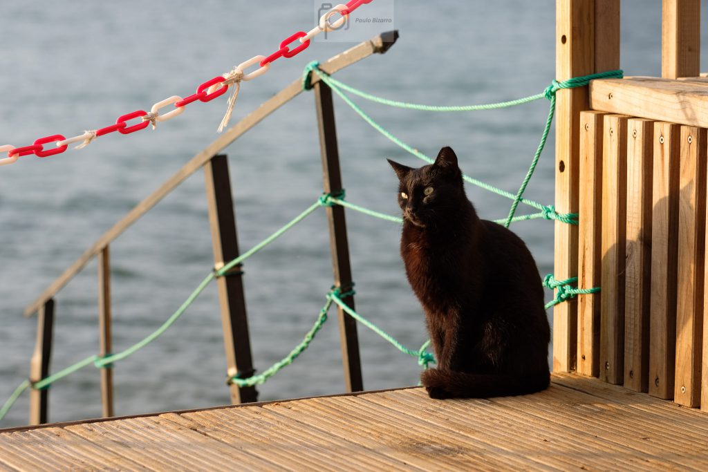
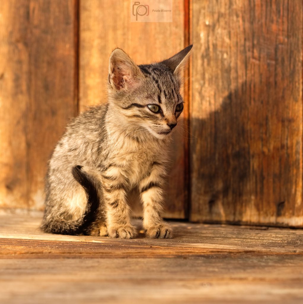
Once the Sun was shining over the area, several cats appeared to warm up. These are normally taken care for by the nice lady that ferries people across the river.
Before I went back home for a well deserved breakfast, I took a few more photos of the castle on the top of the cliff. The light was great, and this is one of the obligatory compositions.