As I described in my previous essay, I spent the second weekend of January in the village of Longueira, on the Alentejo coast. I had the opportunity to make my first trail of this year in the Santa Clara-a-Velha region, in the interior of Odemira municipality. One of the highlights of this area is the large dam that exists near the village, which was built more than 50 years ago. I wrote about it in a post from 2019:
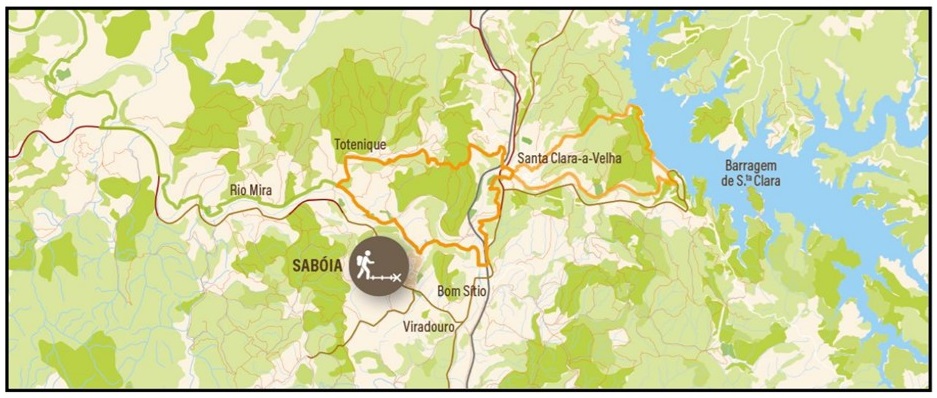
This particular trail is number 13 in the list of circular paths that belong to the Rota Vicentina. The full details can be found in the respective website:
https://rotavicentina.com/en/trilhos/santa-clara-to-the-lake/
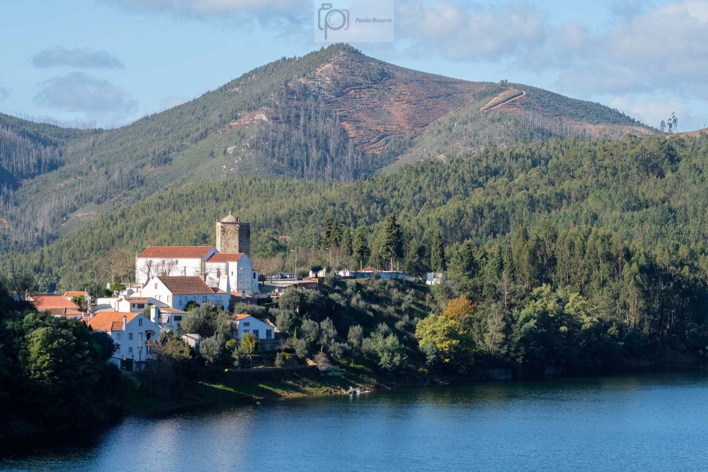
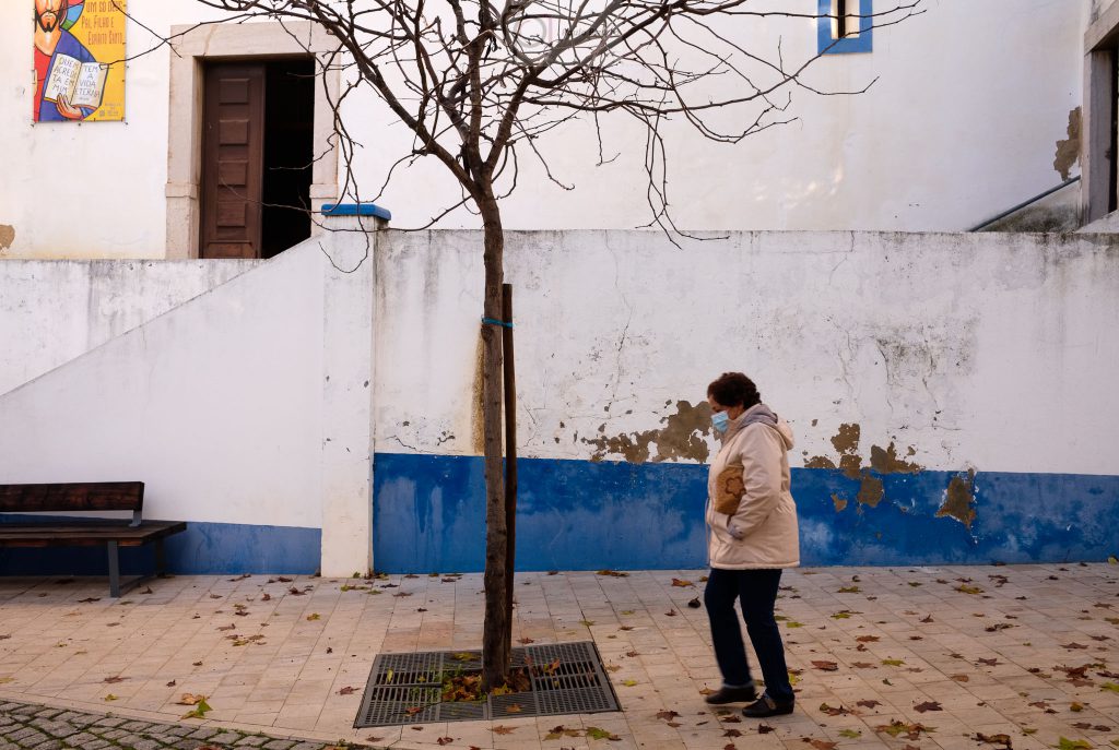
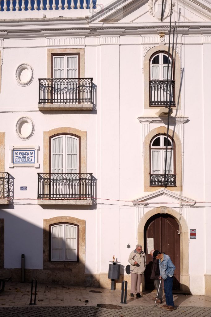
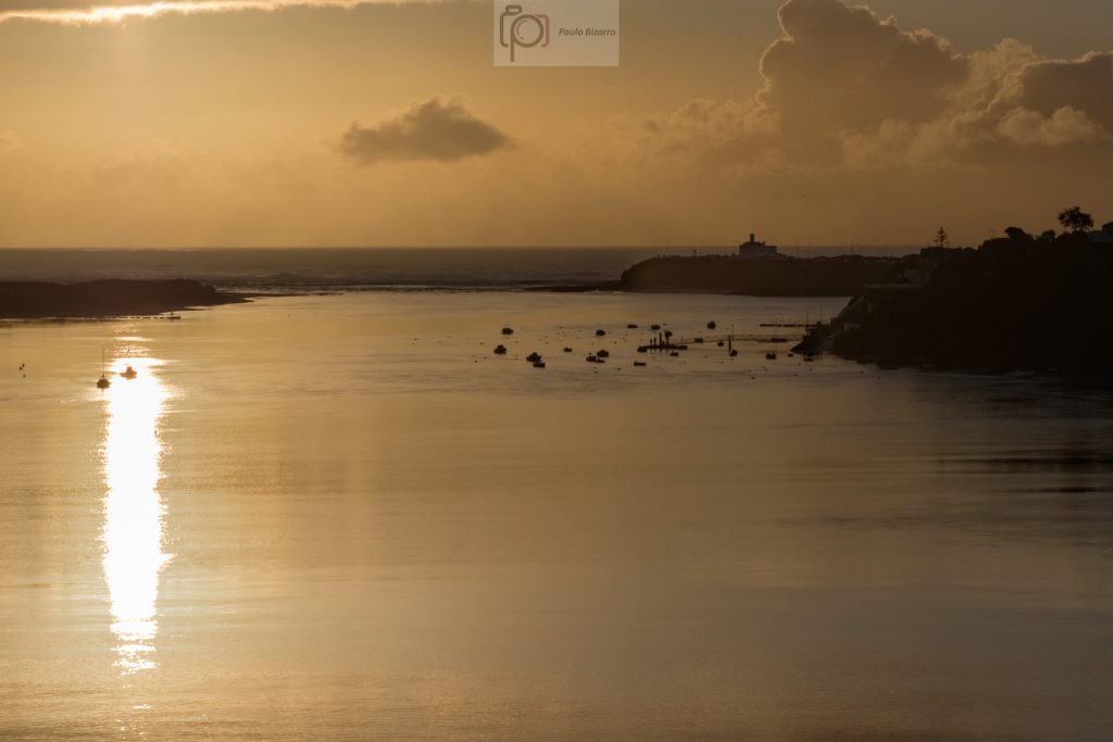
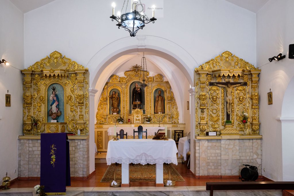
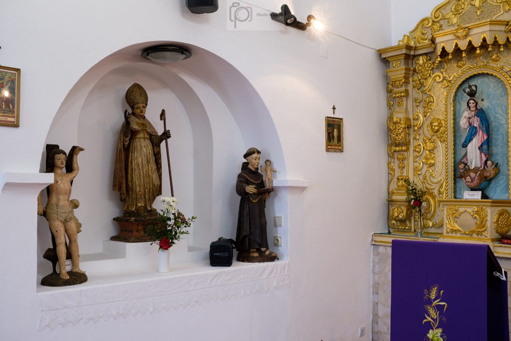
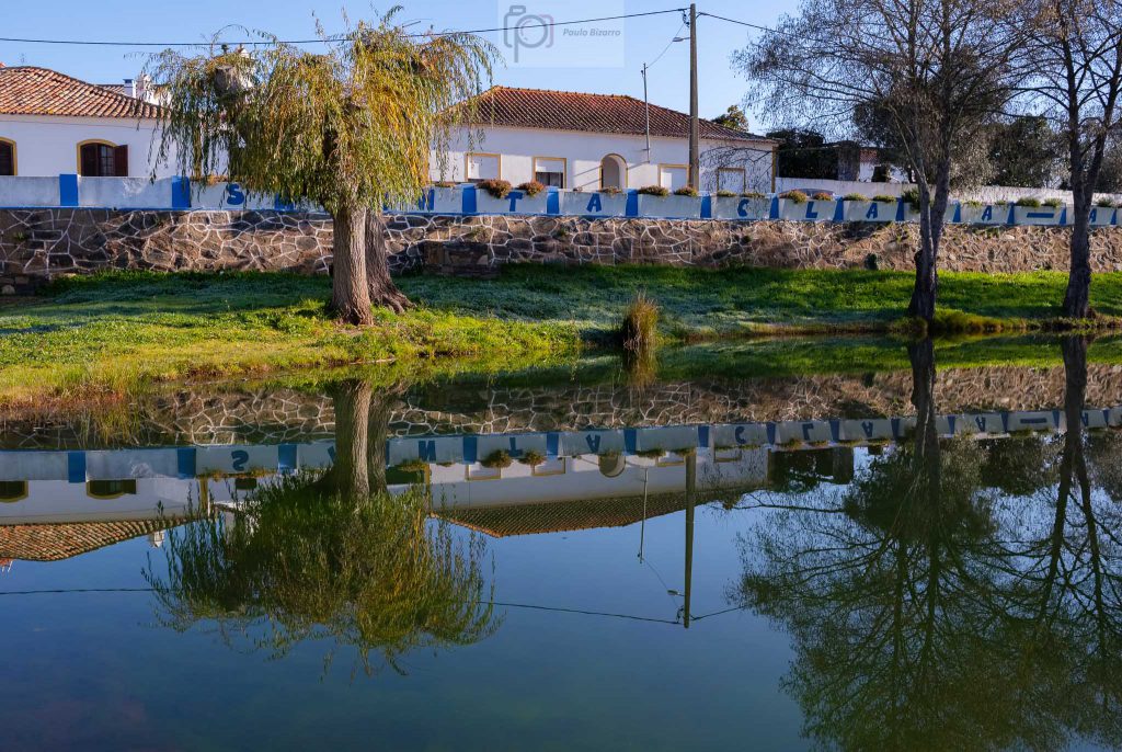
Whilst revisiting my records, I actually found out that this was the first trail I did in the region, back in February 2018. Since then, I have walked many more of them, but I have a fond memory of this one. Thus, 3 years later, I found myself again in a very cold morning in Santa Clara-a-Velha. After having a hot coffee in the local café to warm up a little bit, I started the walk near the church. With the typical white and strong blue colours of the Alentejo, the church was built in the 16th century. It was open, so I went to inside to admire the religious golden woodwork.
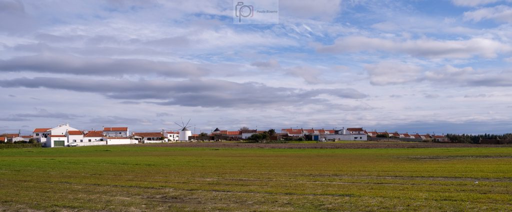
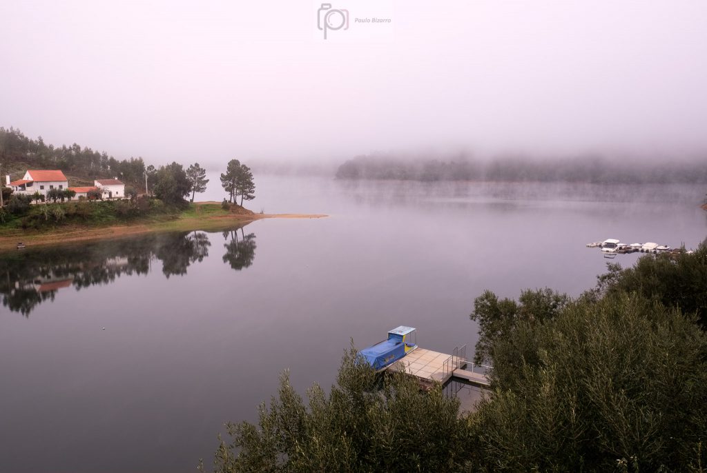
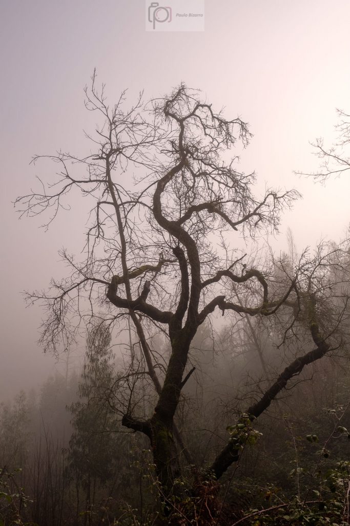
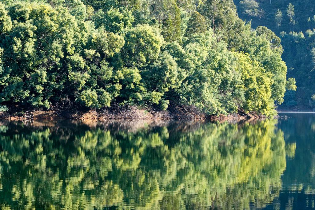
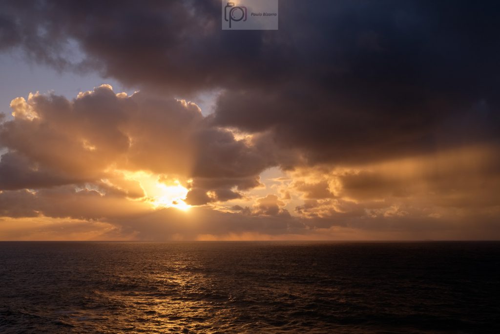
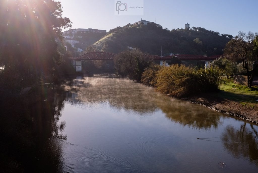
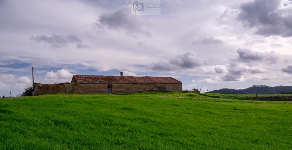
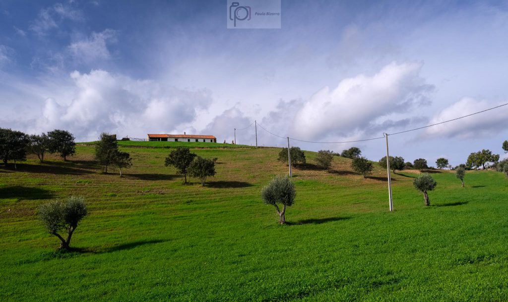
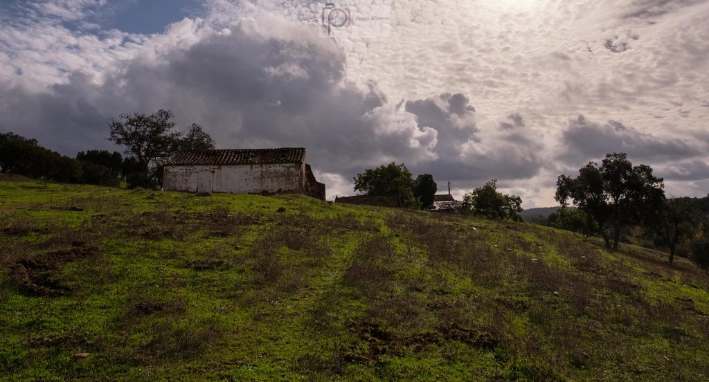
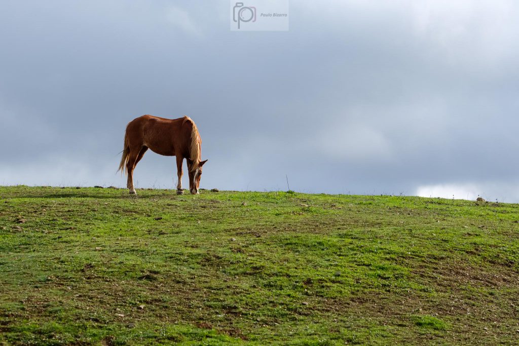
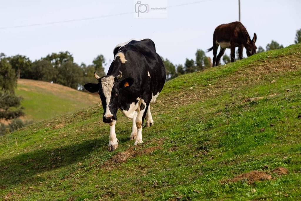
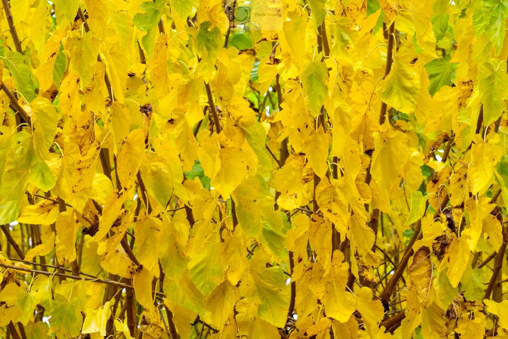
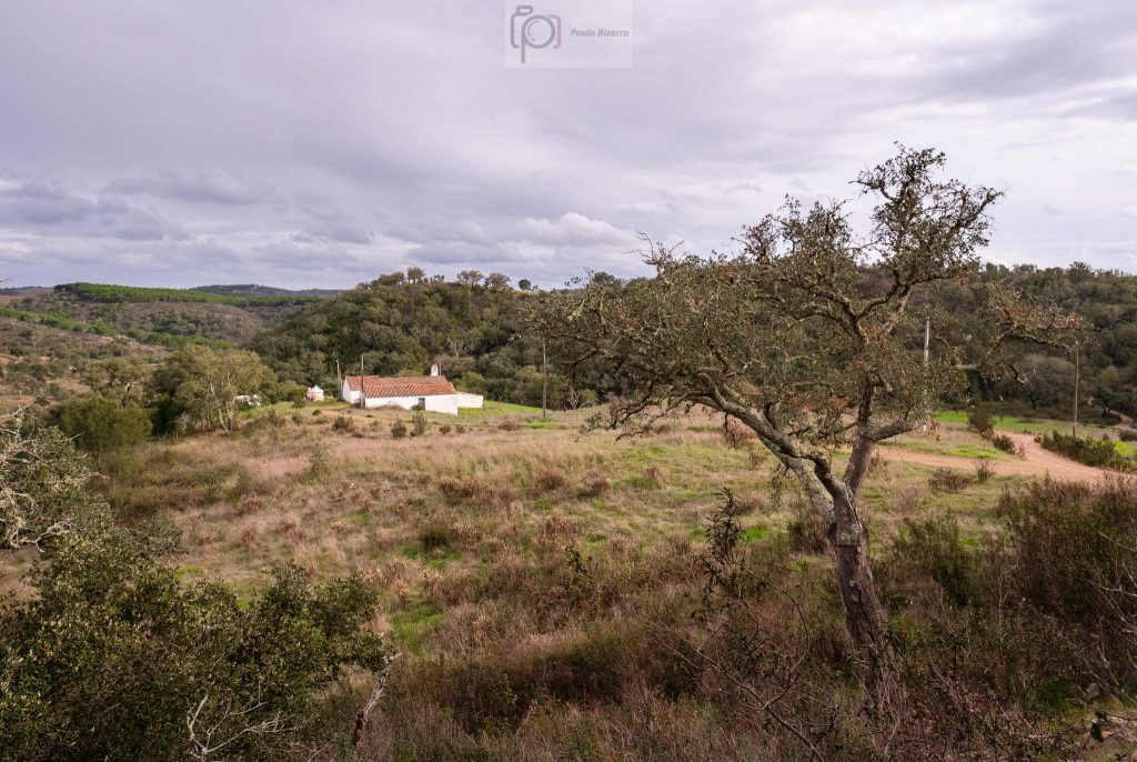
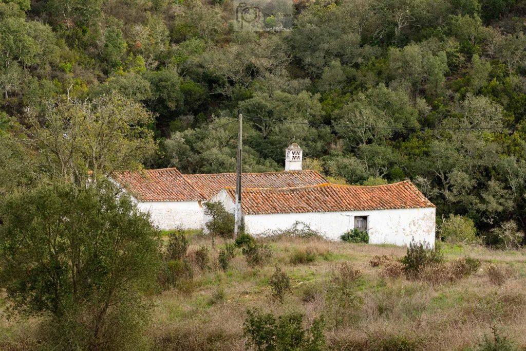
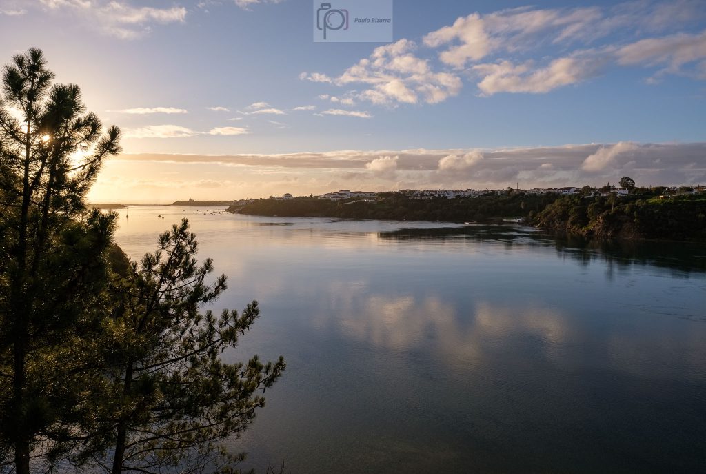
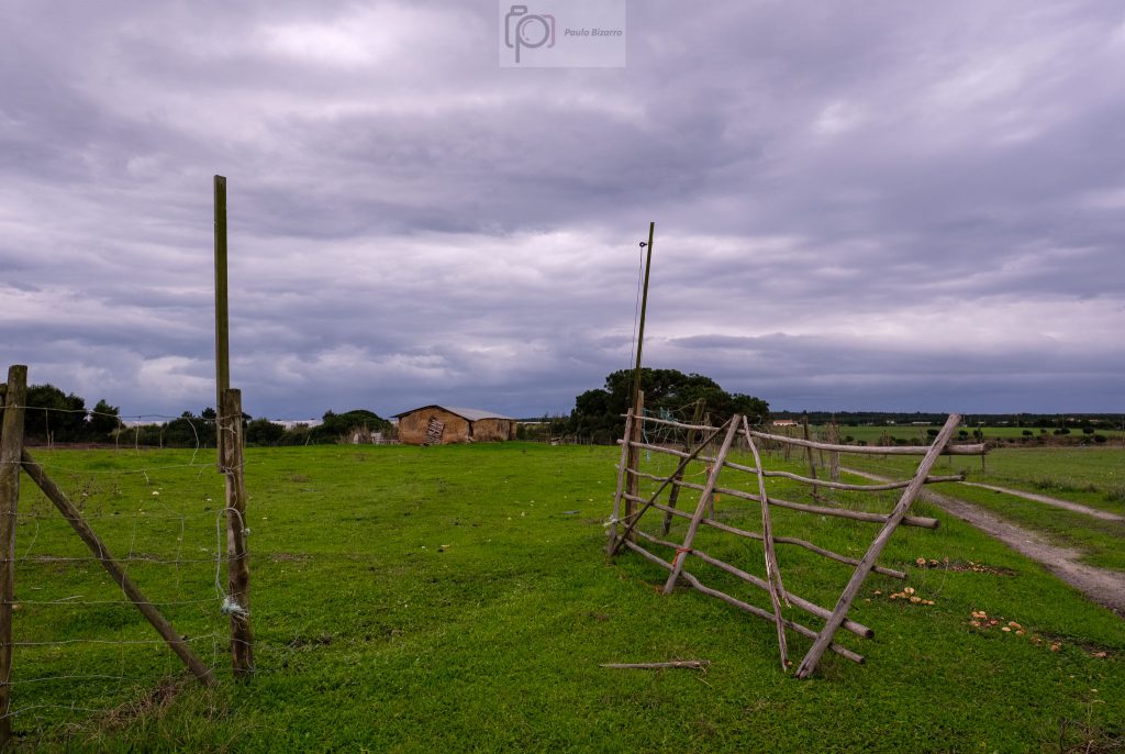
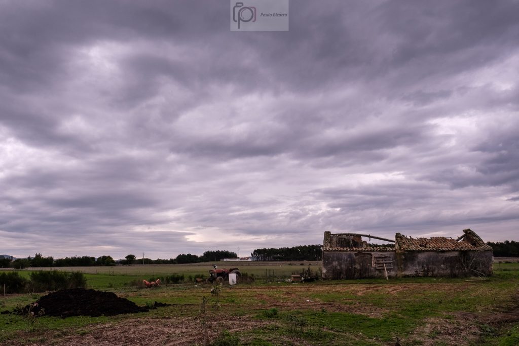
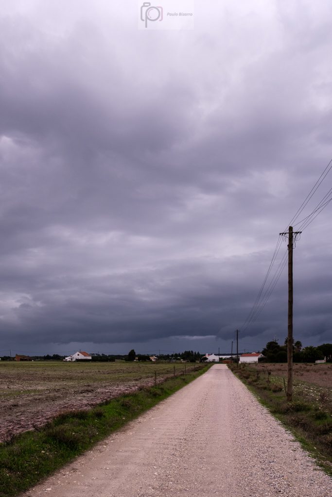
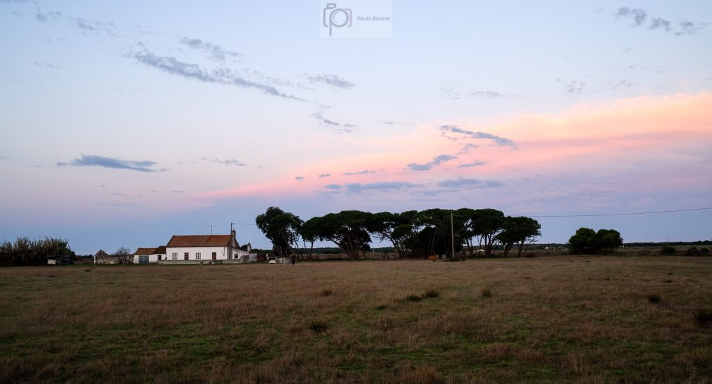
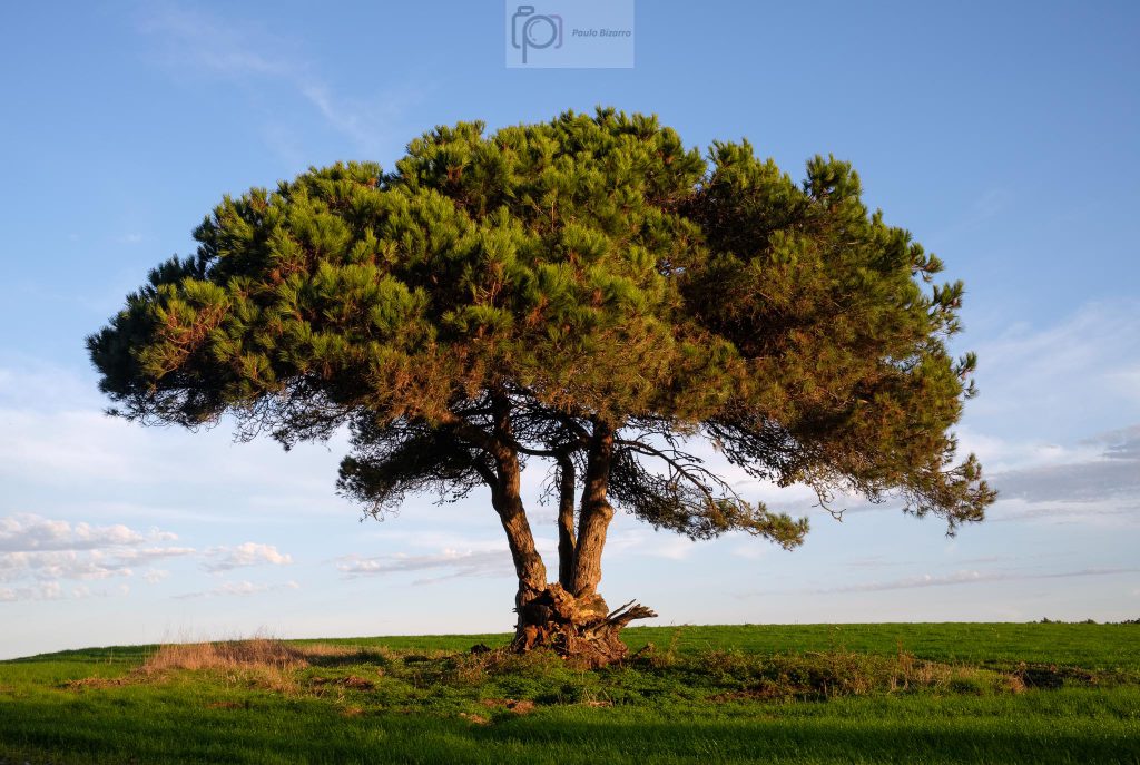
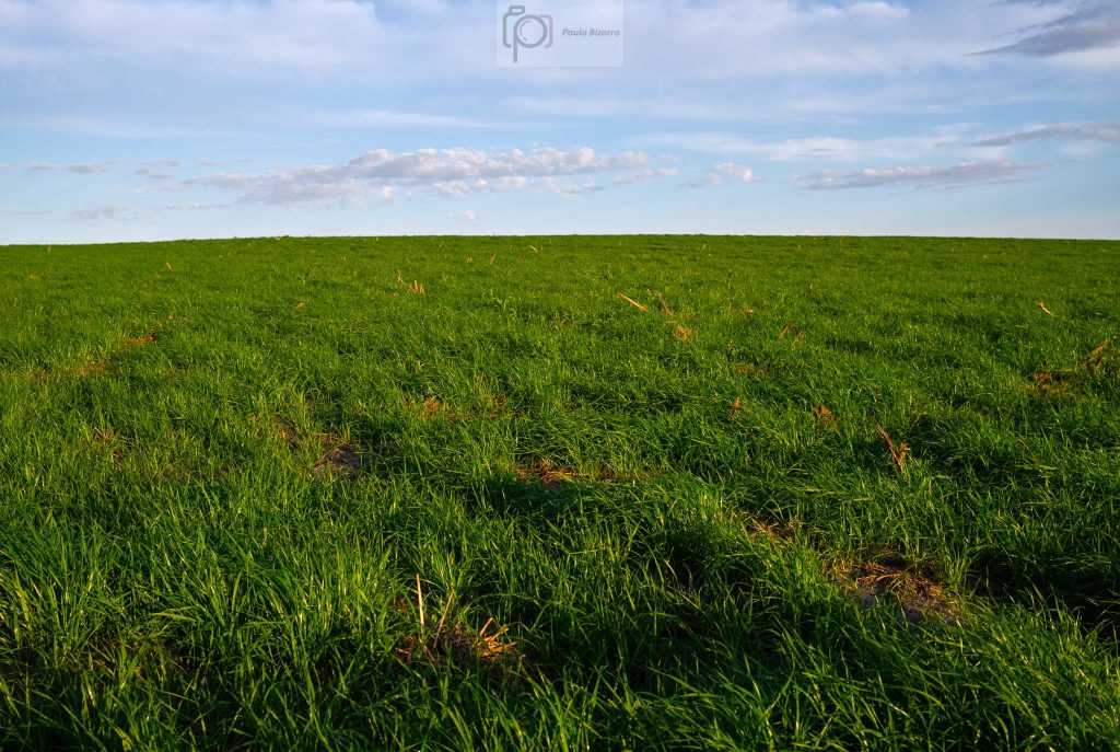
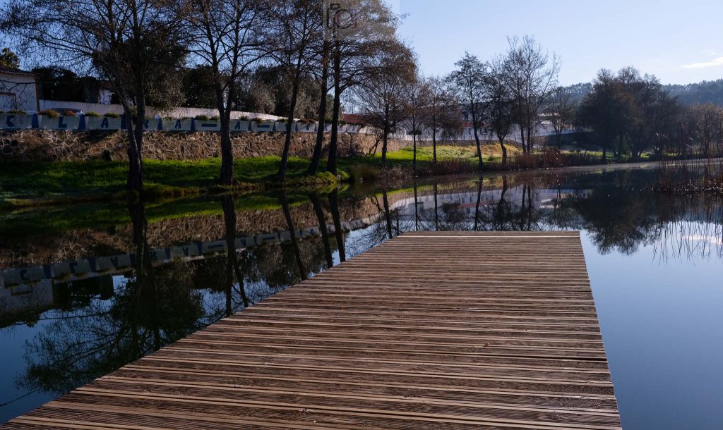
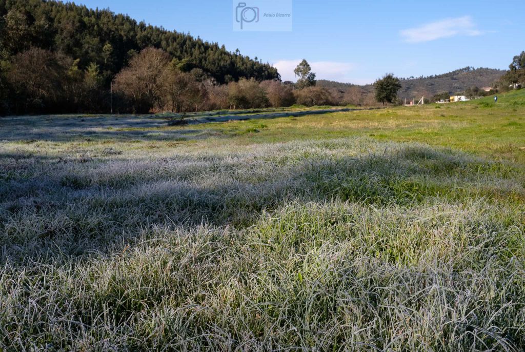
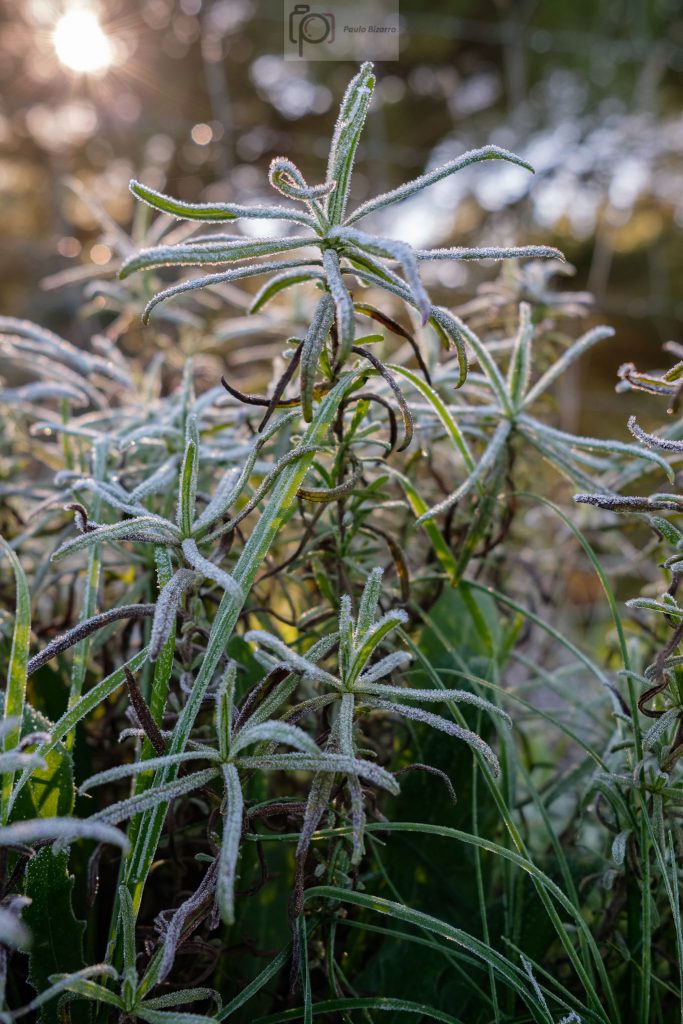
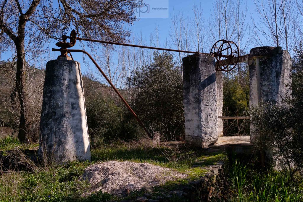
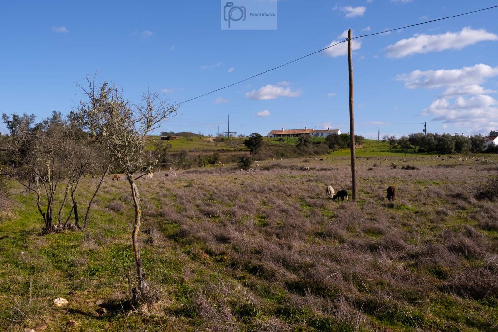
This interior region is already isolated and scarcely populated. The local economy, based on agriculture, cattle, and some tourism, has been severely impacted by the Covid-19 crisis. Hopefully all this will go away soon and people can return to appreciate the tranquility and the beauty of the area. After leaving the church, the path is parallel to the Mira river, following its northern bank. Because of the dam, which is upstream, the water is really quiet. The previous night was very cold, with freezing temperatures; as a consequence, there is heavy frost on the ground, with plants covered in ice crystals. I make some interesting photos along the way.
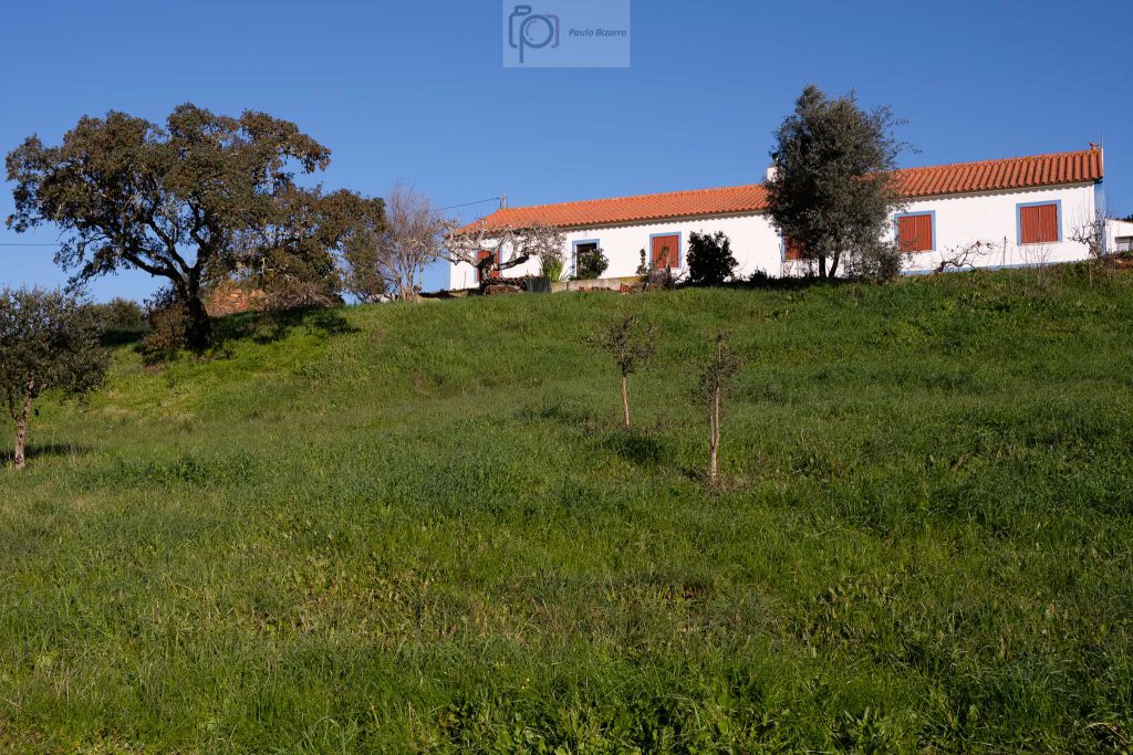

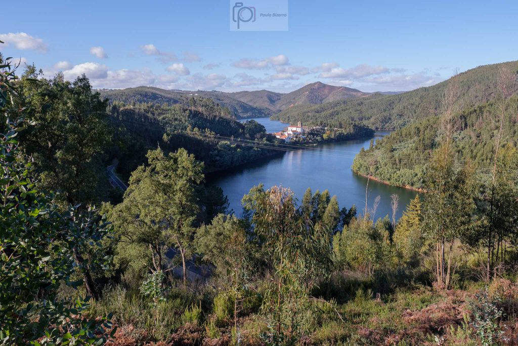
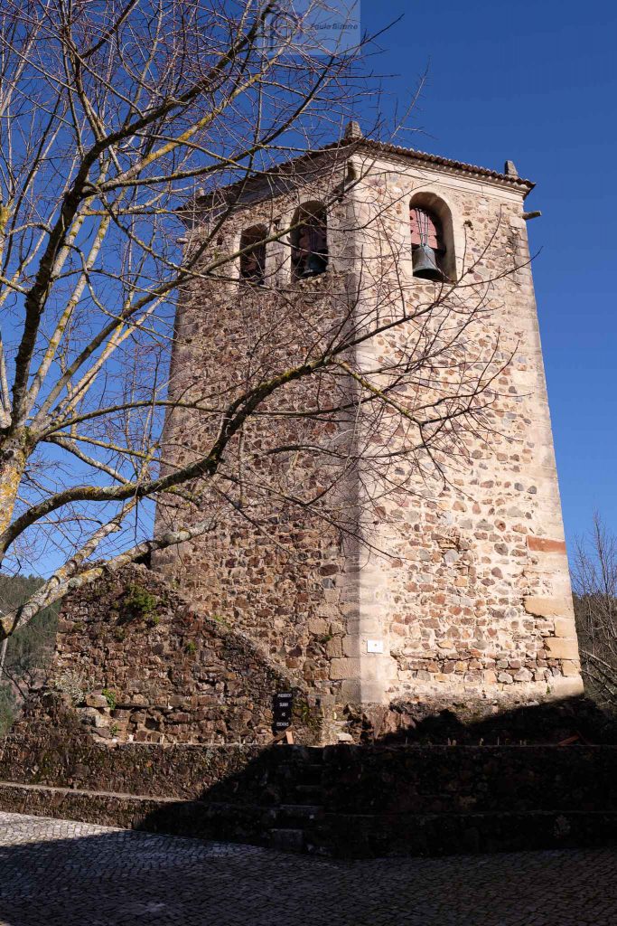
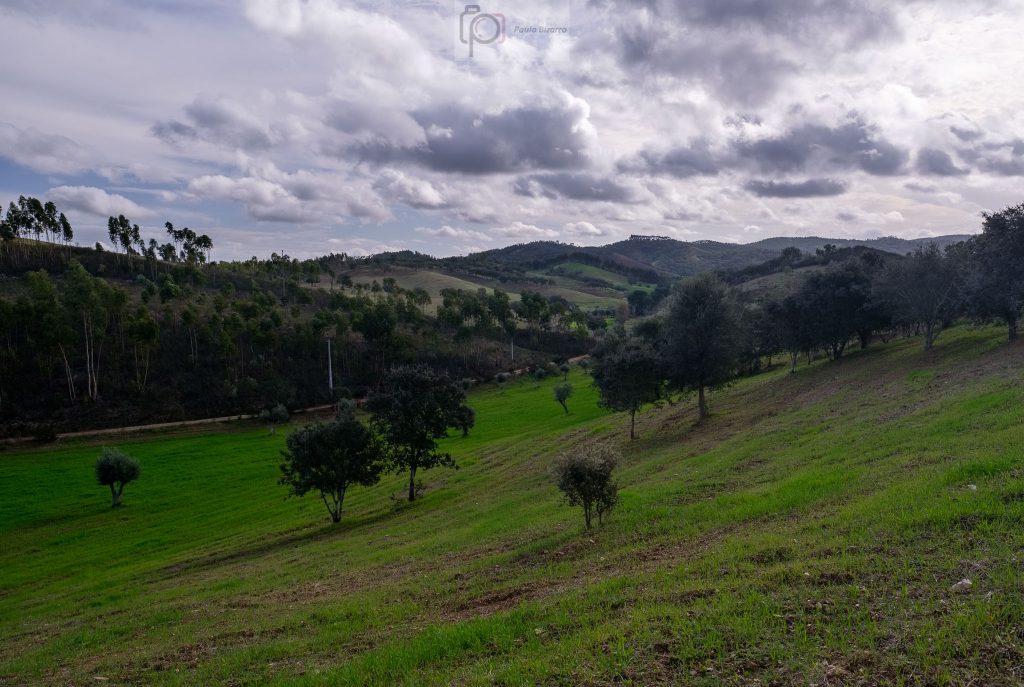
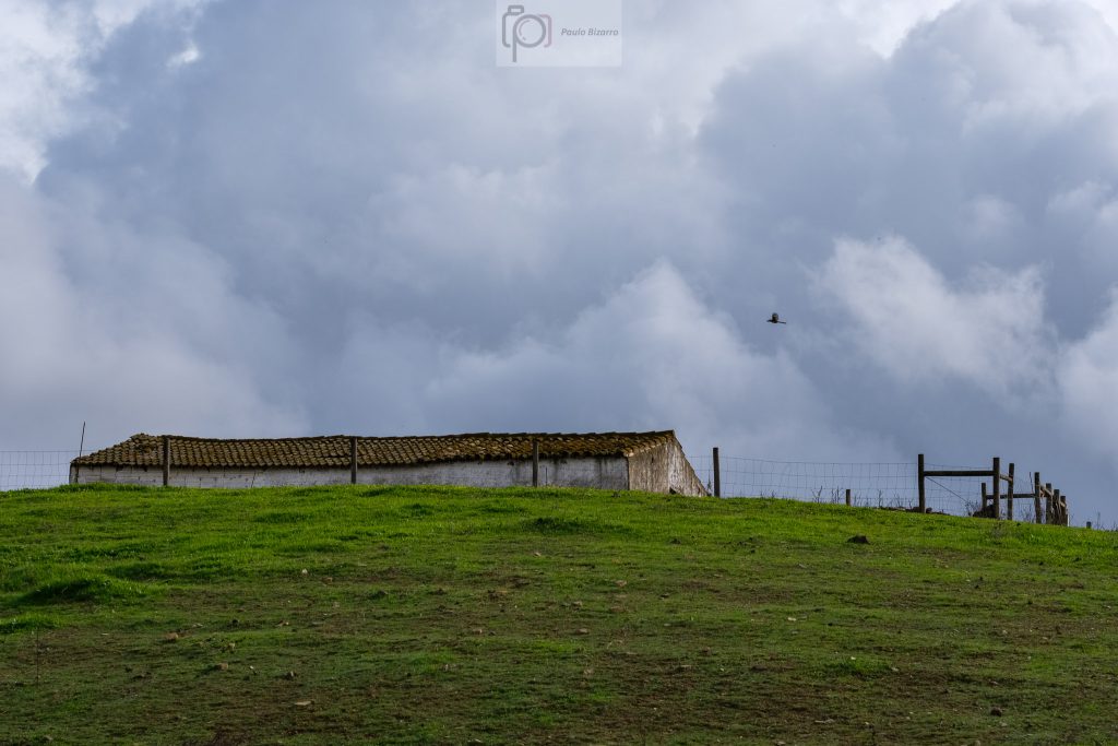
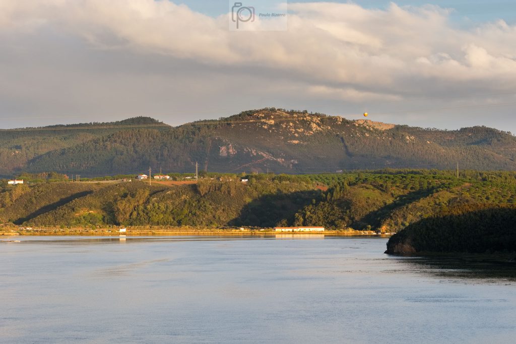
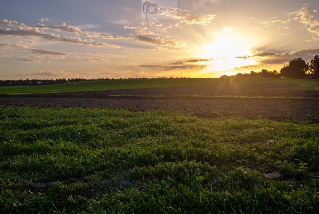
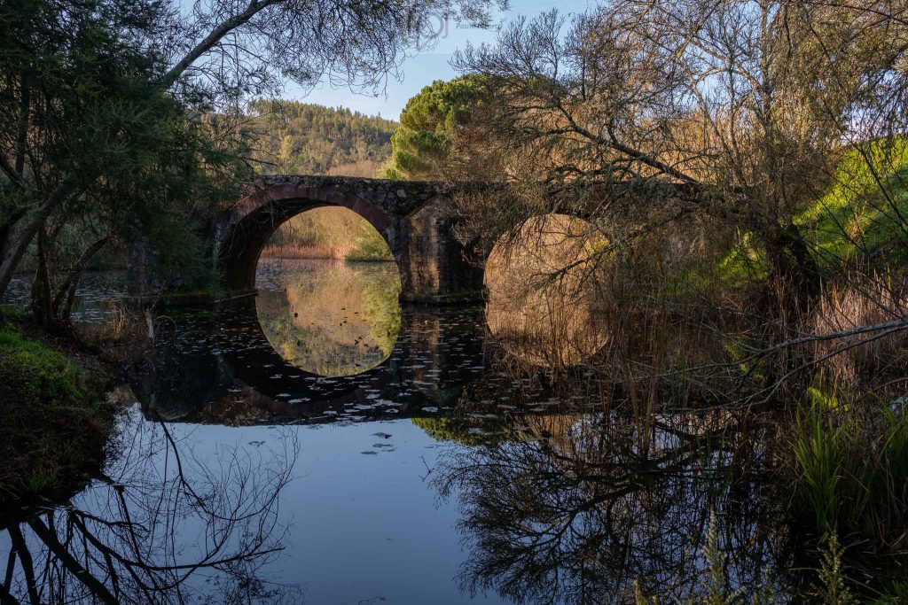
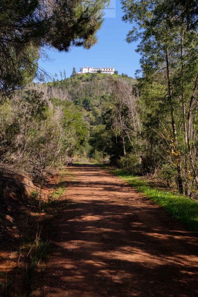
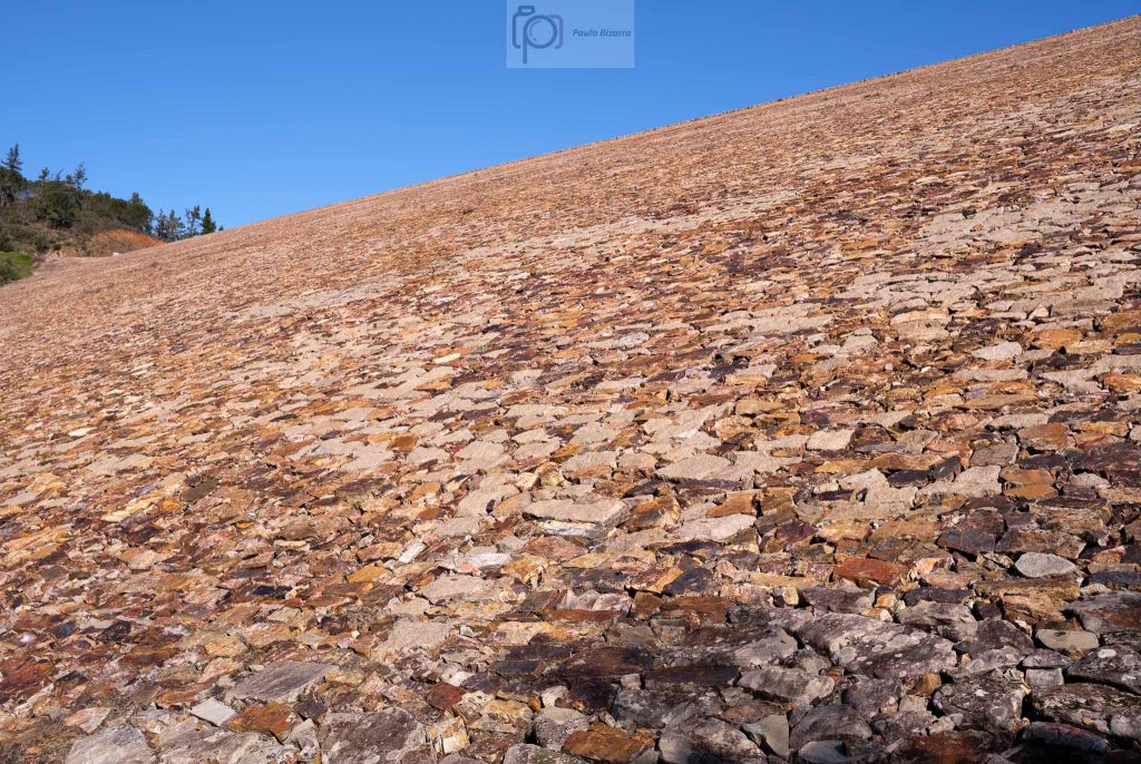
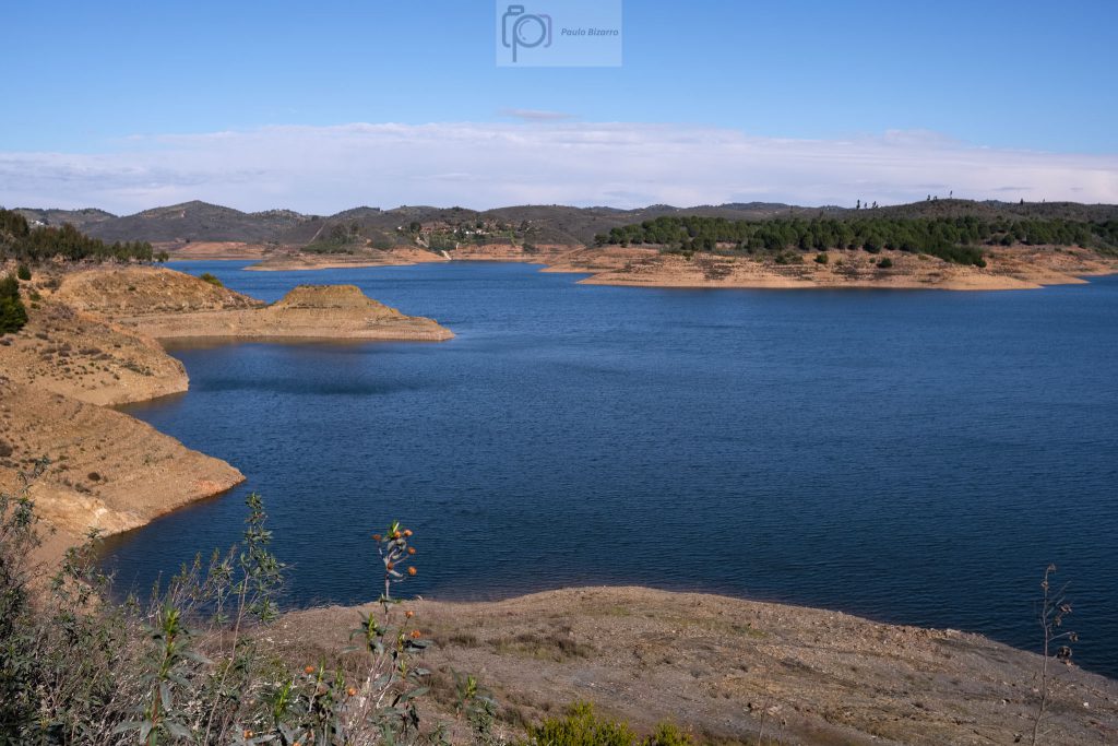
The first interesting stop is near the medieval Dona Maria bridge. The structure is not complete today, but it is possible to admire two large remaining arches. Again, a nice stop to make some photographs of the scenery. Continuing along the trail, the next few kilometres are a leisurely walk that follows the valley, surrounded by hills and agricultural fields and farms. This is a pleasant walk, enjoying the sunshine to warm up. After a while, we reach the bottom of the dam, a near vertical wall of rock. This is the first steep climb of the trail, but at the top we are rewarded by the magnificent view of the great blue lake. For those that want to spend a few more days exploring the region, there is a nice hotel that overlooks the lake.
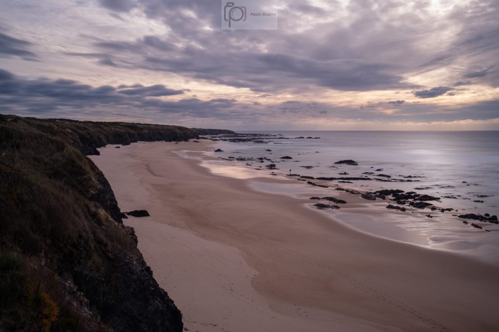
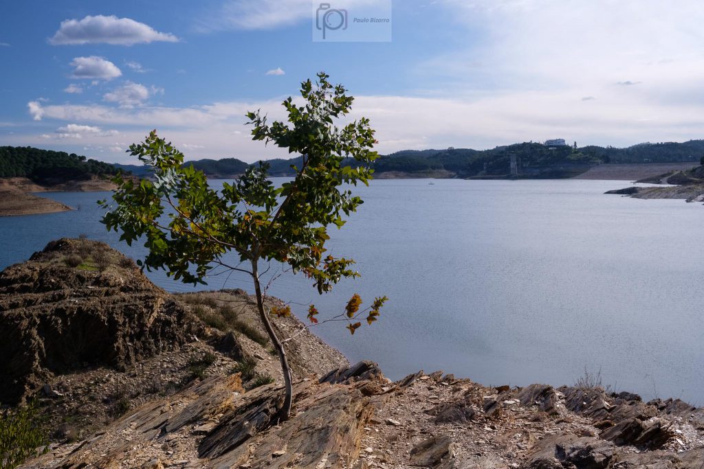
I have seen this view many times before, but I am always impressed. Today, the strong blue colour of the sky and the water, surrounded by green vegetation and the earthly yellow and brown, result in a strong palette. From the wall, the path continues along the margin of the lake. There are several nice spots for a swim, should you be here in a warmer season. In fact, I normally come here during the summer. Today, I stop to rest a bit and have a picnic lunch. The wind is picking up, which enhances the cold even more.
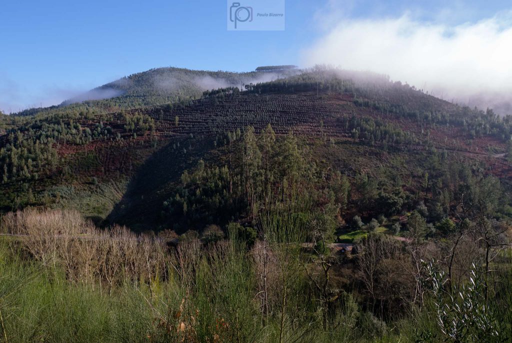
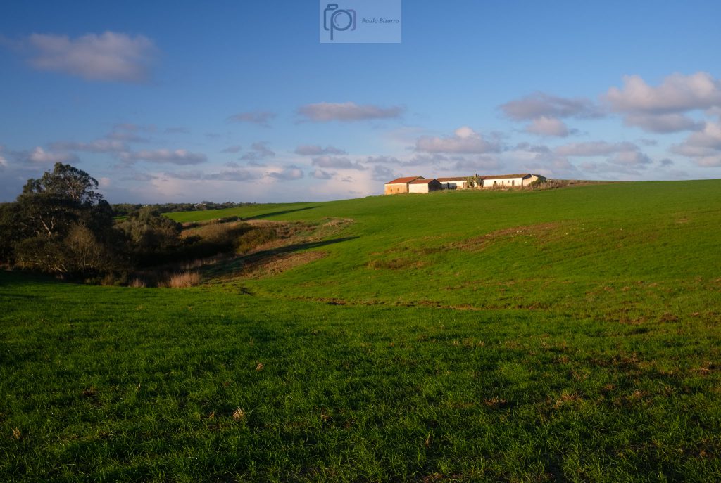
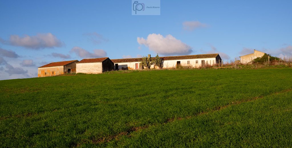
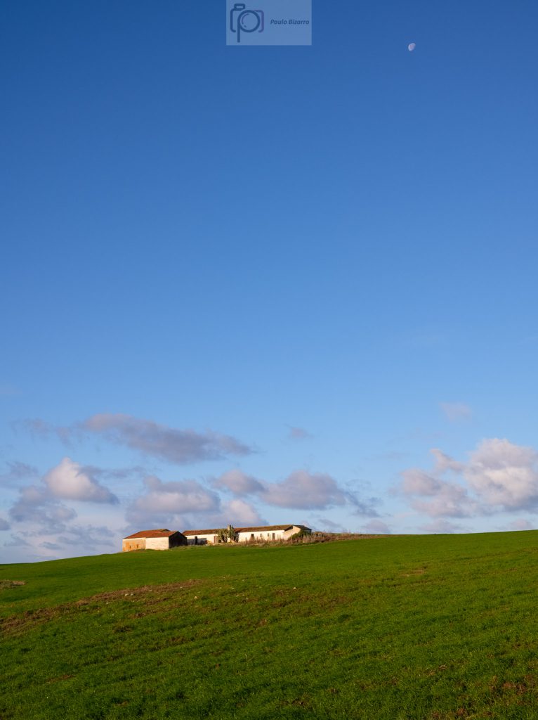
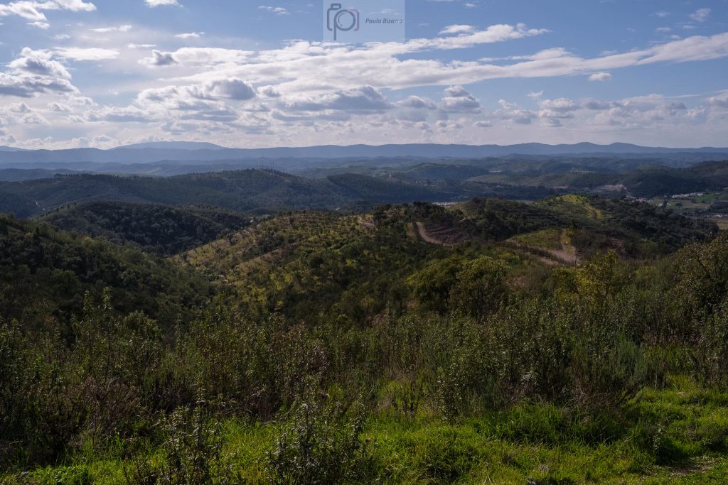
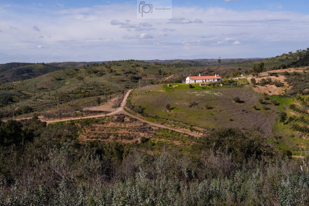
The path is well marked and is easy to follow. After a while, there is a sharp turn to the left (west), and we face the second steep climb of the trail, which reaches the top of the hill. From this vantage point, the view is panoramic, over the surrounding mountains. It is possible to see a few isolated farm houses. To the south, the heights of the Serra de Monchique (the second highest mountain in continental Portugal) dominate. This is a part of the trail that I particularly enjoy, due to the rugged landscape. From here, the final leg of the journey is basically all the way down, back to Santa Clara-a-Velha.
Concerning photo gear on this walk, I merely carried the Fujifilm X-S10 (nice small camera indeed), plus the small Fujinon 23mm f/2 lens. I have also used a polarizer filter to help bringing up more detail in the distant hazy landscapes. A few days after this trail, we are now back in lockdown. I wish everyone to keep safe in these difficult times.